Humber Bridge to Goole Loop
A road cycling route starting from South Cave
Cycle alongside the majestic Humber River and explore the historic town of Goole on this road cycling route.
Map
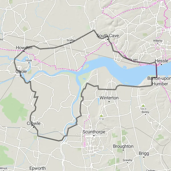
Embark on a captivating cycling adventure starting from the Humber Bridge and passing through picturesque villages before reaching the historic town of Goole. This road cycling route covers a distance of 99km, with a moderate ascent of 276m. The route offers stunning views of the Humber River and highlights the charming countryside of East Yorkshire and Northern Lincolnshire. Suitable for well-trained amateur cyclists, this route provides a perfect blend of scenic beauty and cultural exploration.
road
99 km
276 m
Tough
Route profile
Highlights on the route
0 km
0 km
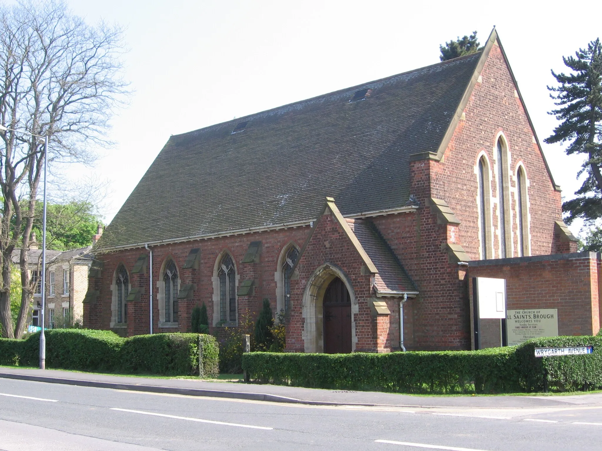
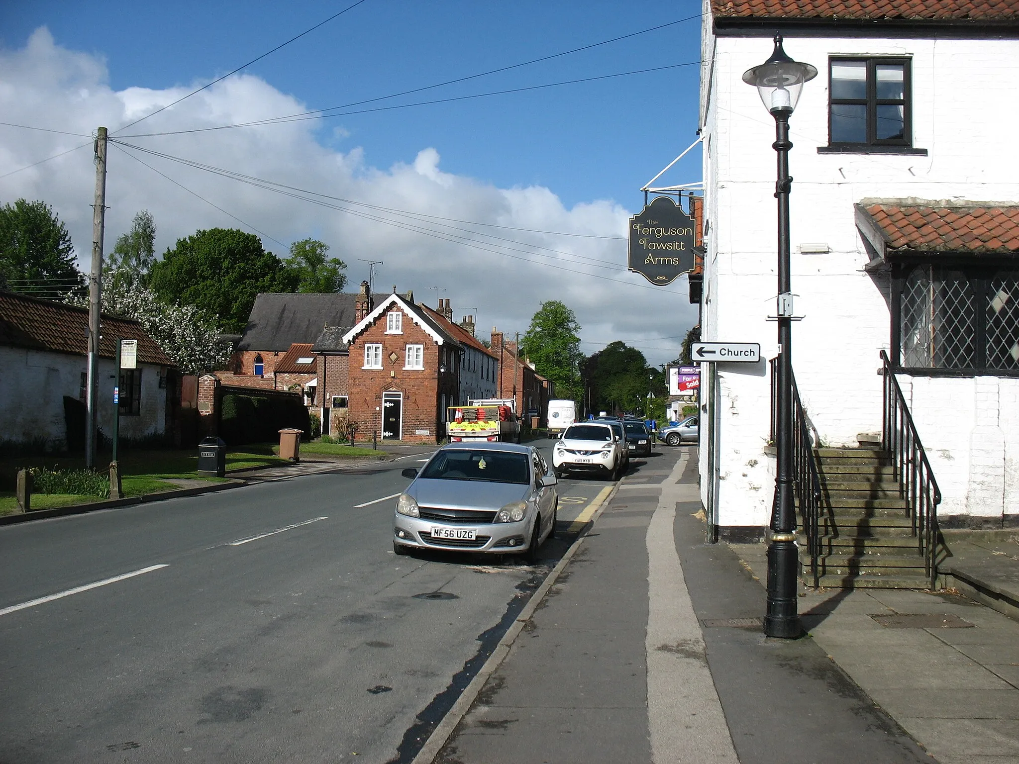
Start: South Cave City centerSouth Cave: Cycle through stunning landscapes and explore charming attractions in South Cave.
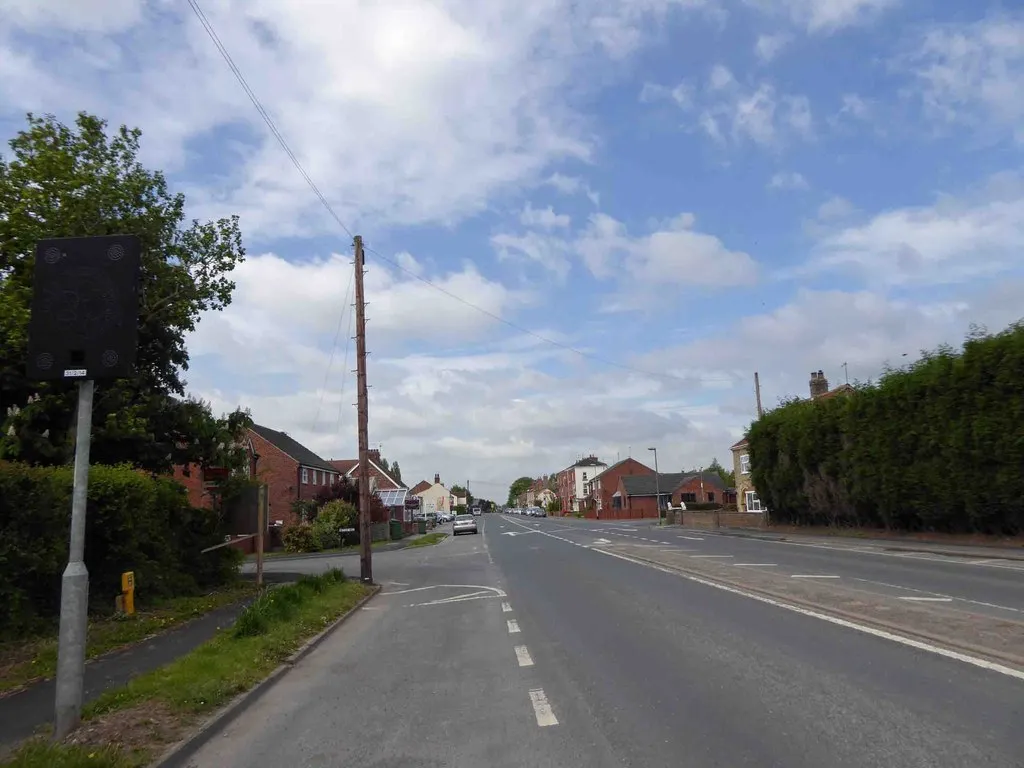
South Cave, located in East Yorkshire and Northern Lincolnshire, offers a delightful cycling experience. The region has a diverse terrain, with both flat stretches and rolling hills, providing options for riders of all levels. The quiet country roads passing through beautiful landscapes make South Cave a haven for road and gravel cyclists. One of the nearby attractions is Drewton Park, a renowned farm shop and cafe where cyclists can stop for a refuel. While not home to famous climbs, the scenic routes and cyclist-friendly atmosphere make South Cave an excellent cycling destination.15 km
15 km
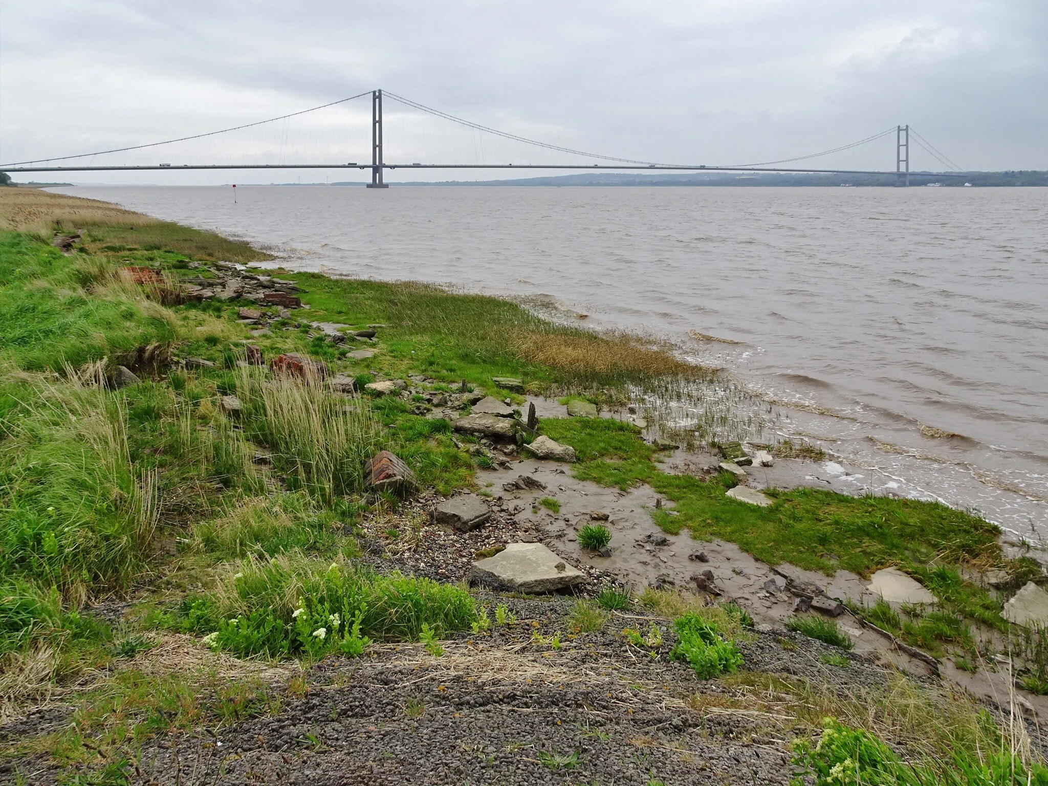
Humber BridgeAttractionThe Humber Bridge, an engineering marvel, spans the estuary and is one of the longest single-span suspension bridges in the world.
32 km
32 km
West HaltonVillageWest Halton is a serene village that offers mesmerizing views of the Humber River and tranquil countryside surroundings.
39 km
39 km
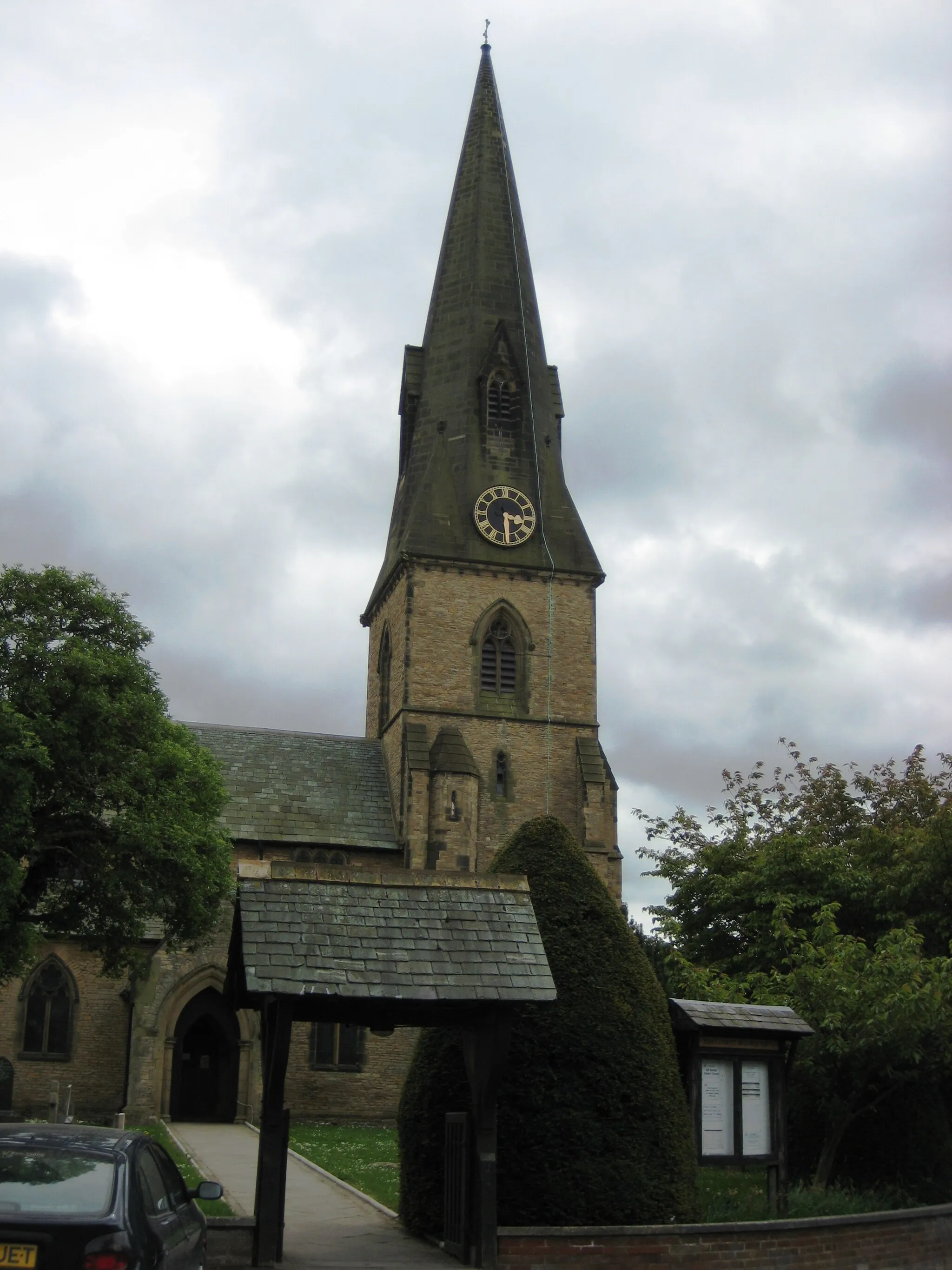
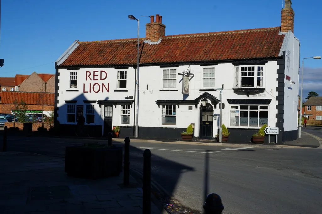
Burton upon StatherVillageBurton upon Stather is a scenic village known for its quaint cottages and access to picturesque walking trails.
58 km
58 km
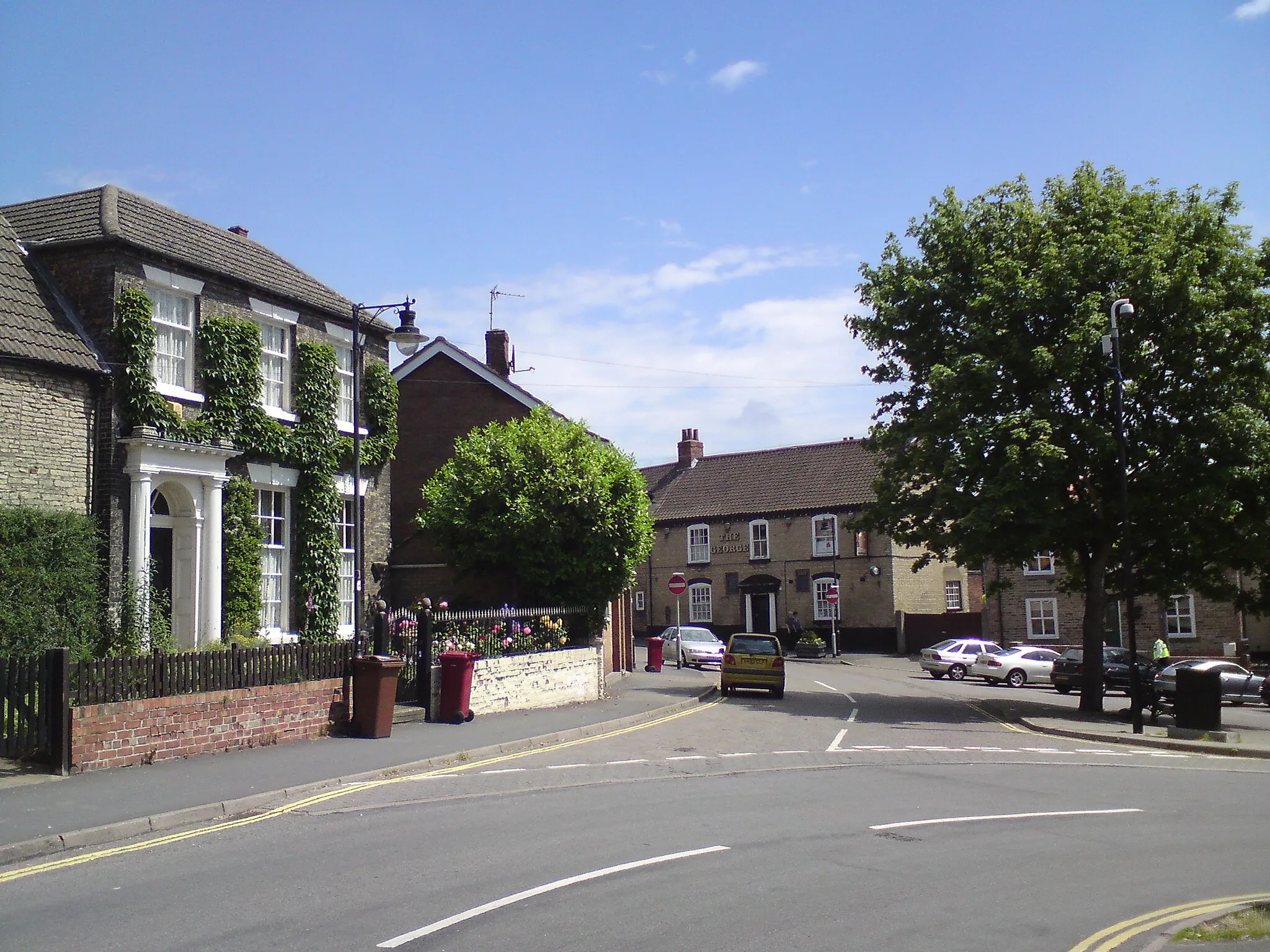
CrowleTownCrowle is a market town with a rich history dating back to Roman times and is surrounded by fascinating rural landscapes.
74 km
74 km
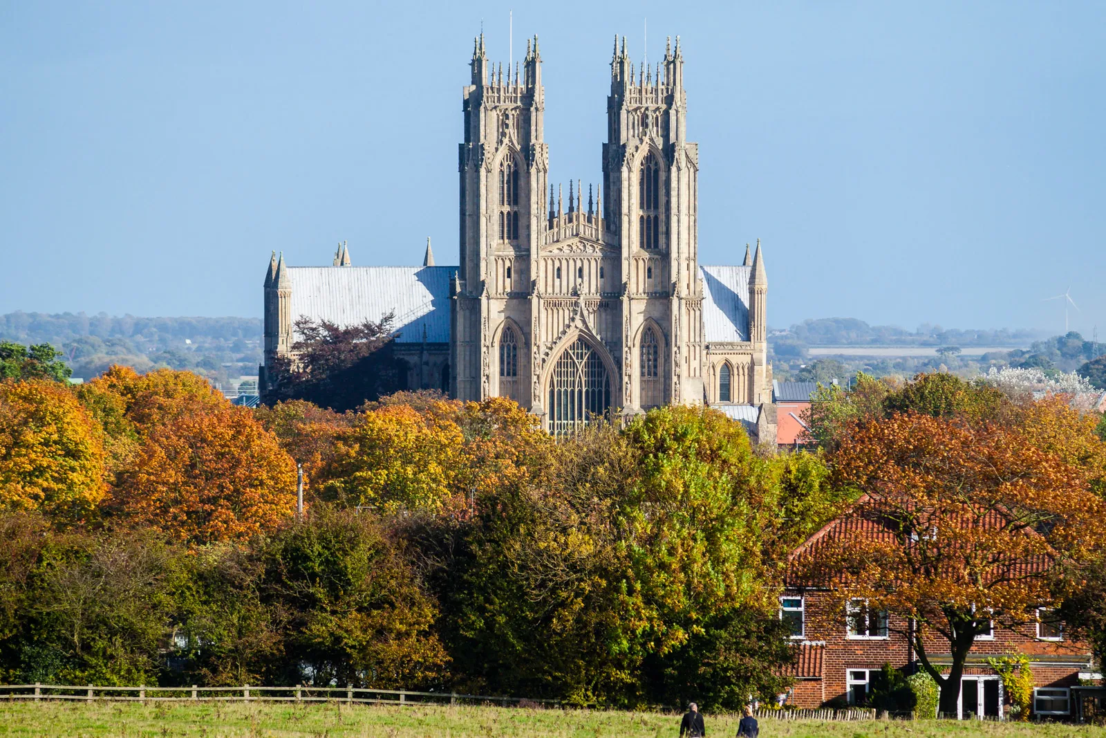
GooleTownGoole, a historic port town, showcases architectural marvels and a bustling waterfront area.
96 km
96 km
North CaveVillageNorth Cave is a charming village nestled within the Yorkshire Wolds, offering an idyllic atmosphere and beautiful surroundings.
99 km
99 km
Finish: South Cave City centerSouth Cave: Cycle through stunning landscapes and explore charming attractions in South Cave.
Cycling routes from South Cave:
South Cave to Sancton Loop Humber Bridge and the Rural Roads South Cave and the Surrounding Charm Scenic Routes and Charming Villages Challenging Hills and Stunning Views North Cave to North Newbald Loop Kirk Ella to Elloughton Loop Sancton to Kirk Ella Loop Epic Hills and Historic Landmarks Humber Bridge to Goole Loop South Cave to Ellerker Loop South Cave to Barton-upon-Humber Loop South Cave to Howden Circular South Cave to Beverley Loop South Cave to Hemingbrough Circular
Cycling routes nearby: