The Pocklington Challenge
A road cycling route starting from Gilberdyke
Take on the challenge of this road cycling route, which presents impressive climbs and scenic vistas.
Map
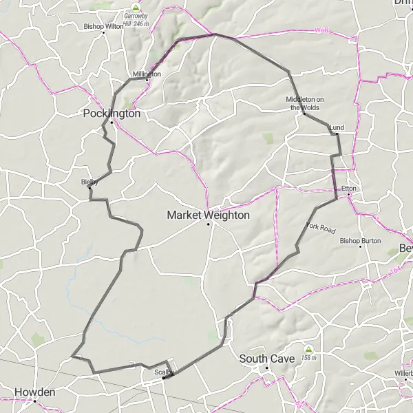
The Pocklington Challenge is a road cycling route that offers a perfect blend of challenge and beauty. With an ascent of 407 meters and a distance of 85 km, this route will test your endurance and reward you with breathtaking views. Highlights along the way include Eastrington, Bielby, Pocklington, Lund, and North Cave. These locations boast picturesque landscapes and charming village atmospheres.
road
85 km
407 m
Tough
Route profile
Highlights on the route
0 km
0 km
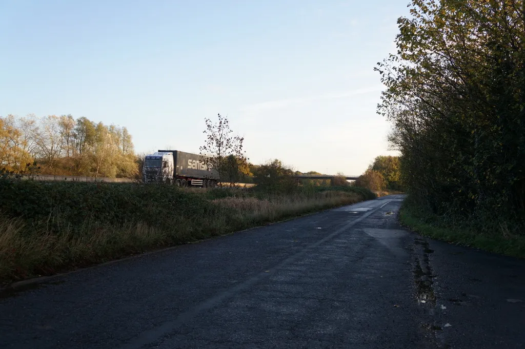
Start: Scalby Village centerGilberdyke: Picturesque countryside routes with excellent amenities in Gilberdyke.
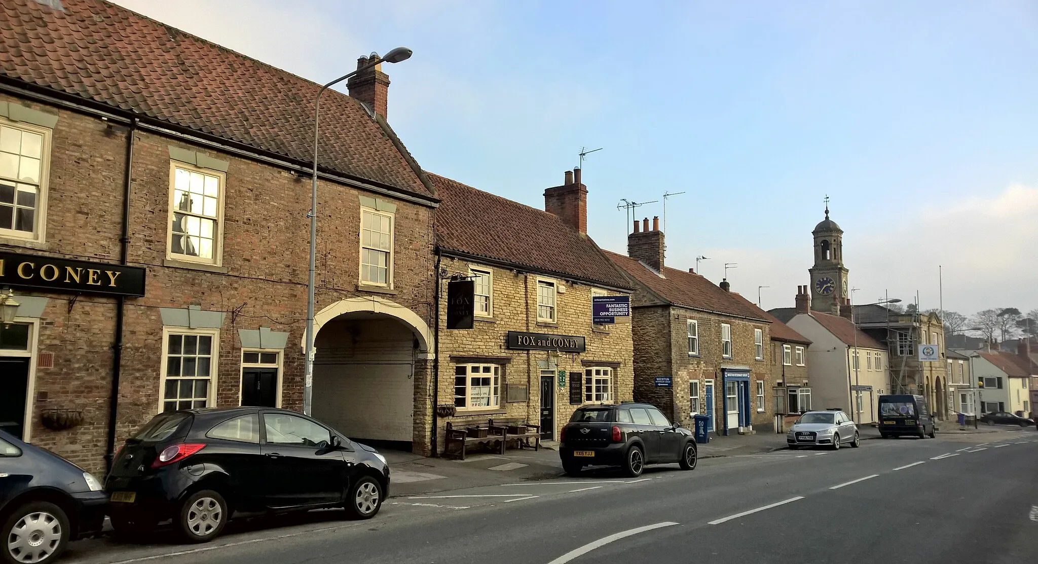
Gilberdyke, situated in the East Yorkshire and Northern Lincolnshire region of the United Kingdom, is a cyclist-friendly town with access to beautiful countryside routes. Road cyclists can enjoy the quiet lanes, while gravel cyclists can explore the nearby trails and nature reserves. The area is also known for its charming pubs and cafes, making it an excellent destination for a mid-ride break. Gilberdyke provides a perfect blend of rural landscapes and cyclist-friendly amenities.7 km
7 km
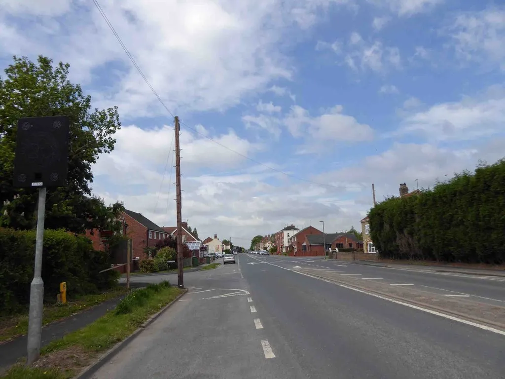
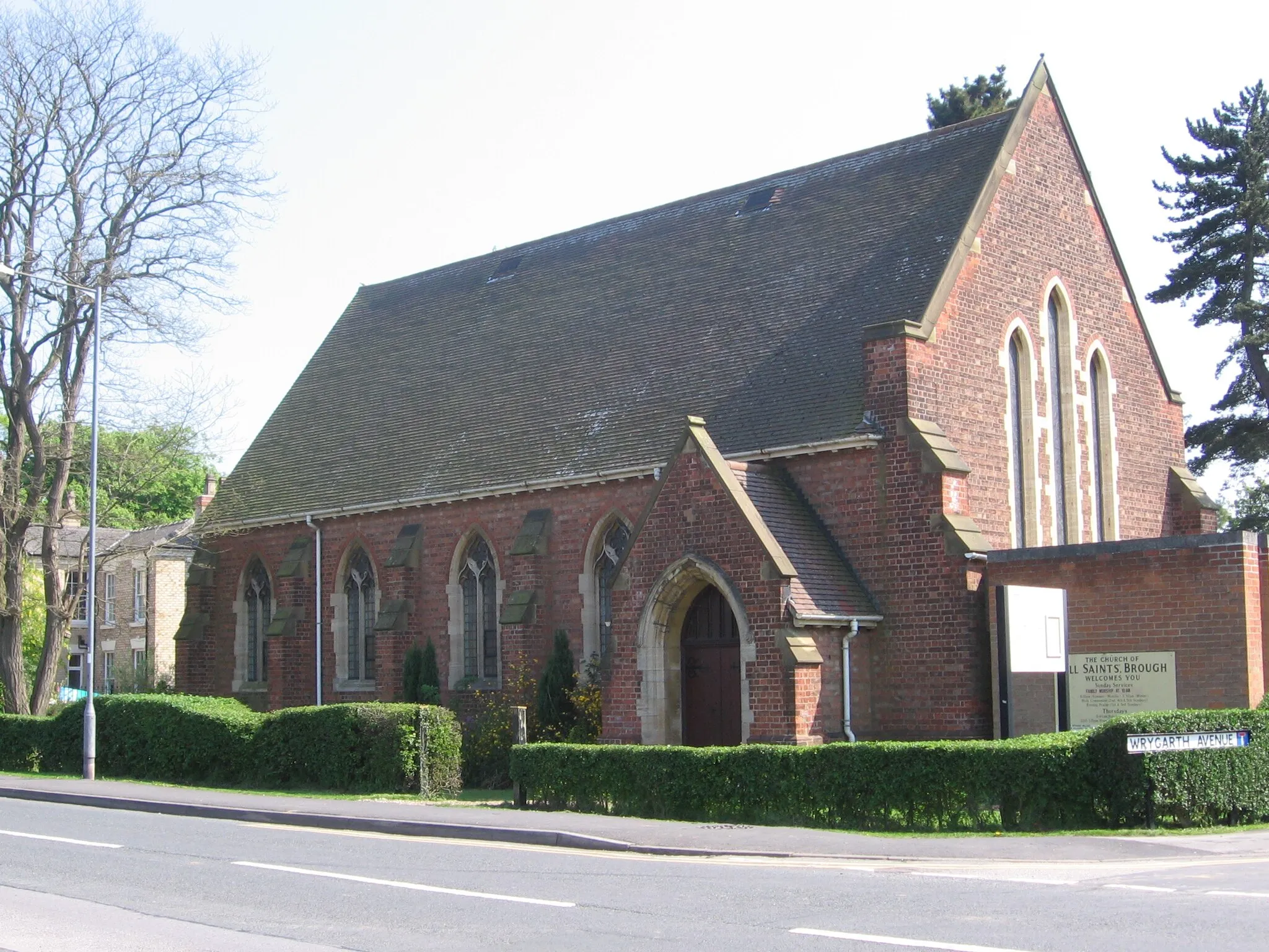
EastringtonVillageStop by Eastrington, which features historic buildings and beautiful architecture.
27 km
27 km
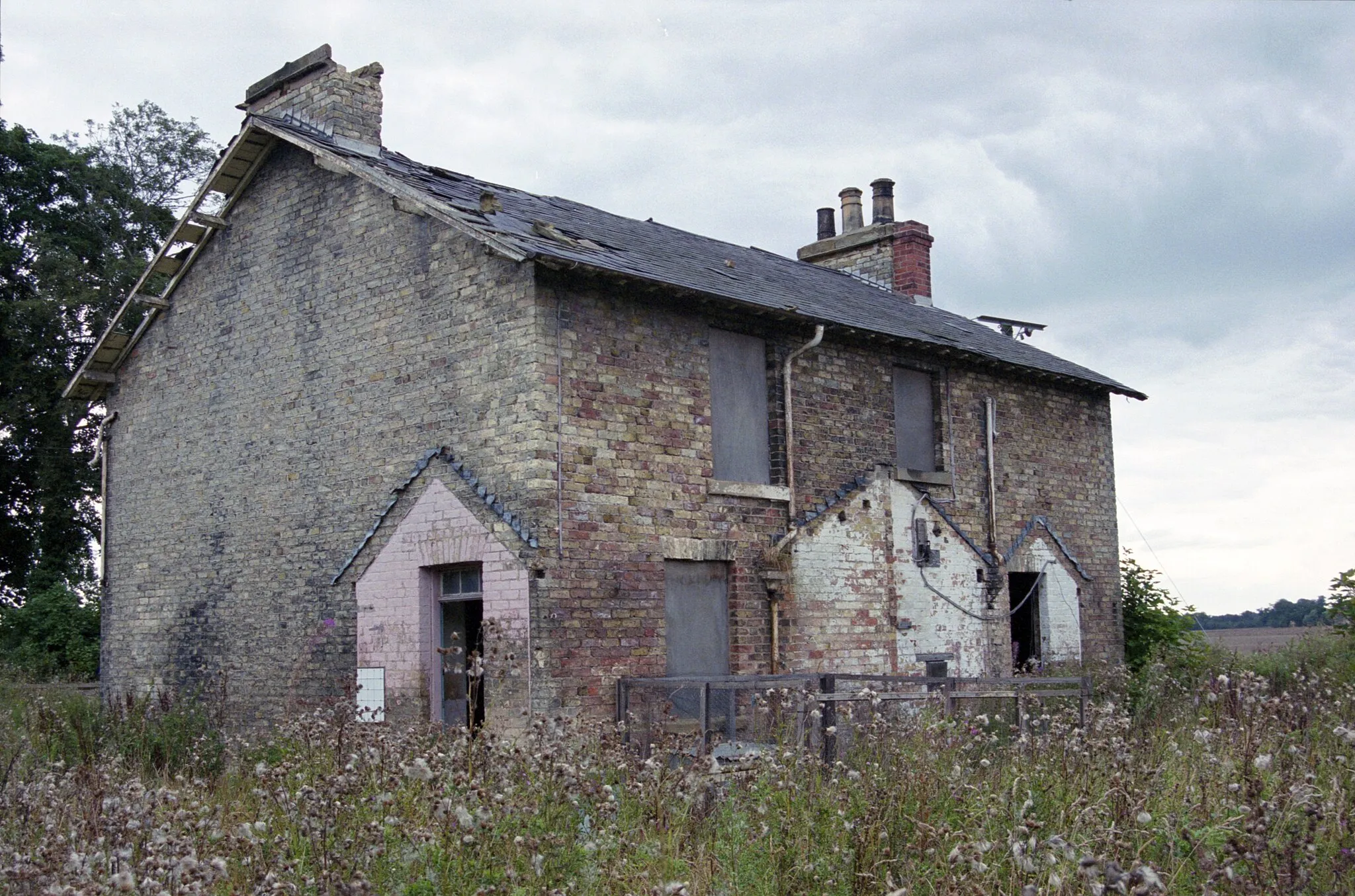
BielbyVillageExplore the village of Bielby, known for its scenic rural setting and charming cottages.
34 km
34 km
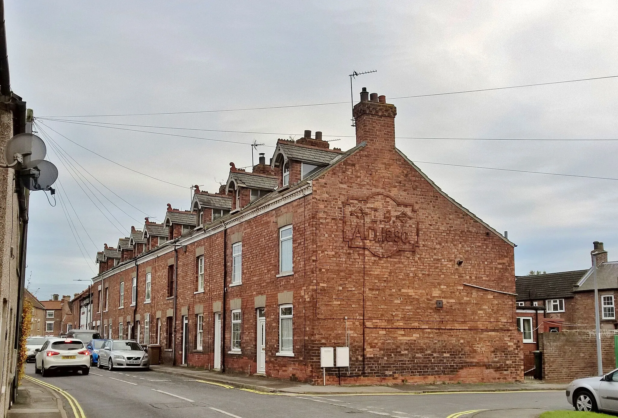
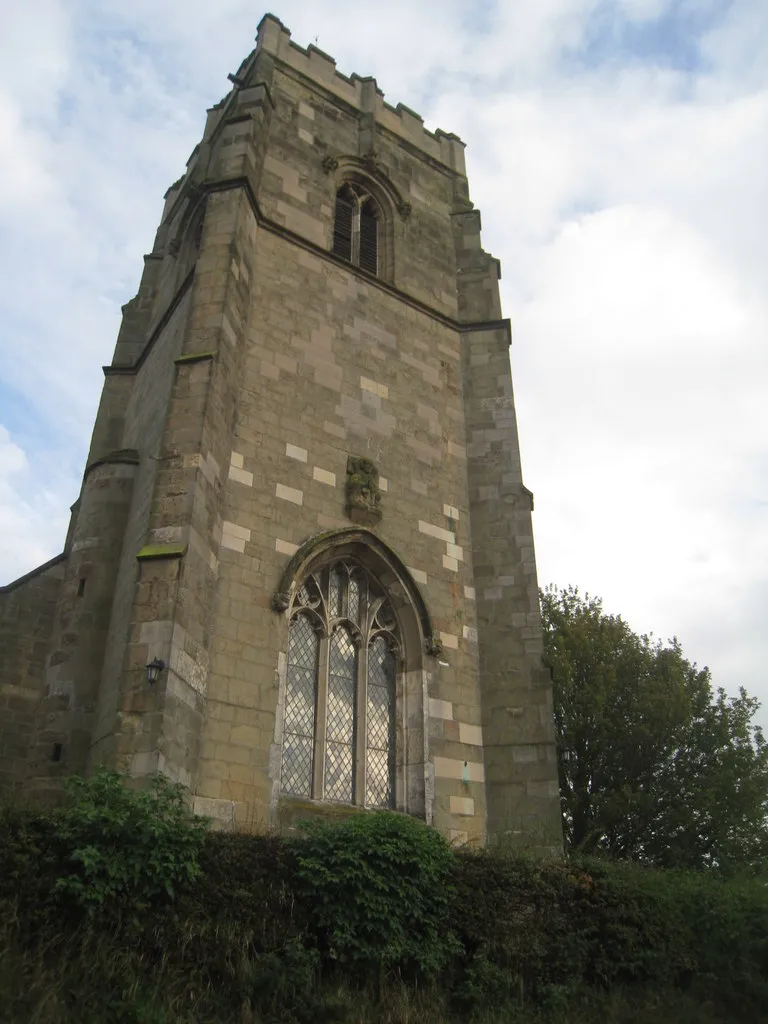
PocklingtonTownDiscover Pocklington, a vibrant town with a rich historical heritage and cultural attractions.
58 km
58 km
LundVillageMarvel at the stunning views from Lund, an elevated village with panoramic vistas of the surrounding countryside.
79 km
79 km
North CaveVillageVisit North Cave and witness its unique blend of natural beauty and historical charm.
85 km
85 km
Finish: Scalby Village centerGilberdyke: Picturesque countryside routes with excellent amenities in Gilberdyke.
Cycling routes from Gilberdyke:
Cycling routes nearby: