Discovering East Yorkshire
A road cycling route starting from Pocklington
Uncover the enchanting beauty of East Yorkshire's cycling routes.
Map
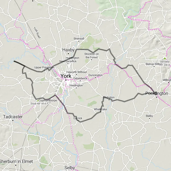
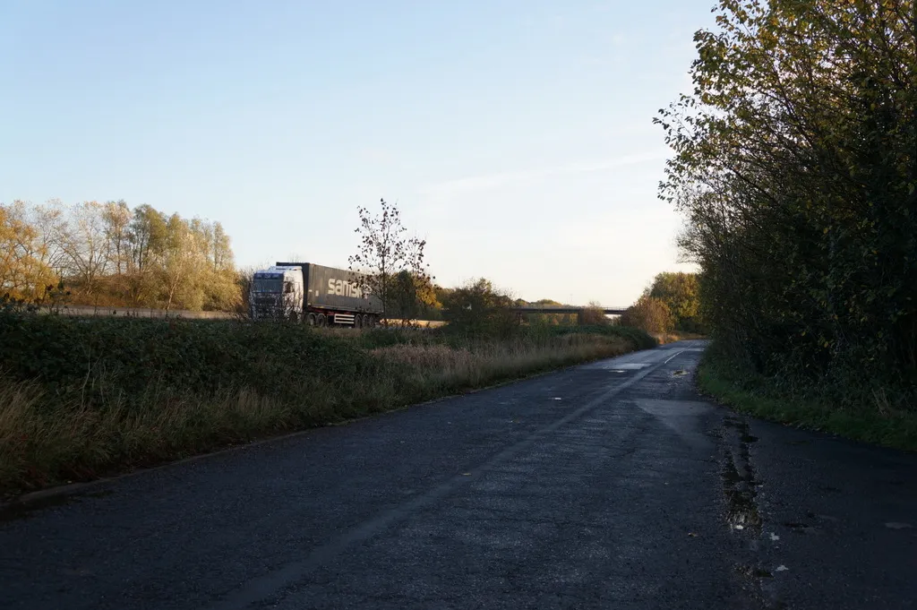
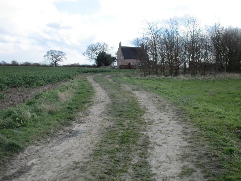
Taking you through the stunning landscapes of East Yorkshire, this 92-kilometer route features an ascent of 97 meters. Starting near Pocklington, you will cycle through Elvington, Naburn, Upper Poppleton, Towthorpe, and Fangfoss. The route showcases the area's natural beauty and highlights the charm of its picturesque villages. Step back in time as you explore sites like Elvington, known for its historic airfield, and rendezvous at popular gathering points like Fangfoss. This route offers a delightful mix of rural tranquility and vibrant community hubs, making it perfect for avid cyclists seeking adventure and exploration.
road
92 km
97 m
Tough
Route profile
Highlights on the route
0 km
0 km
Start: Pocklington City centerPocklington: Exploring Scenic Landscapes in East Yorkshire
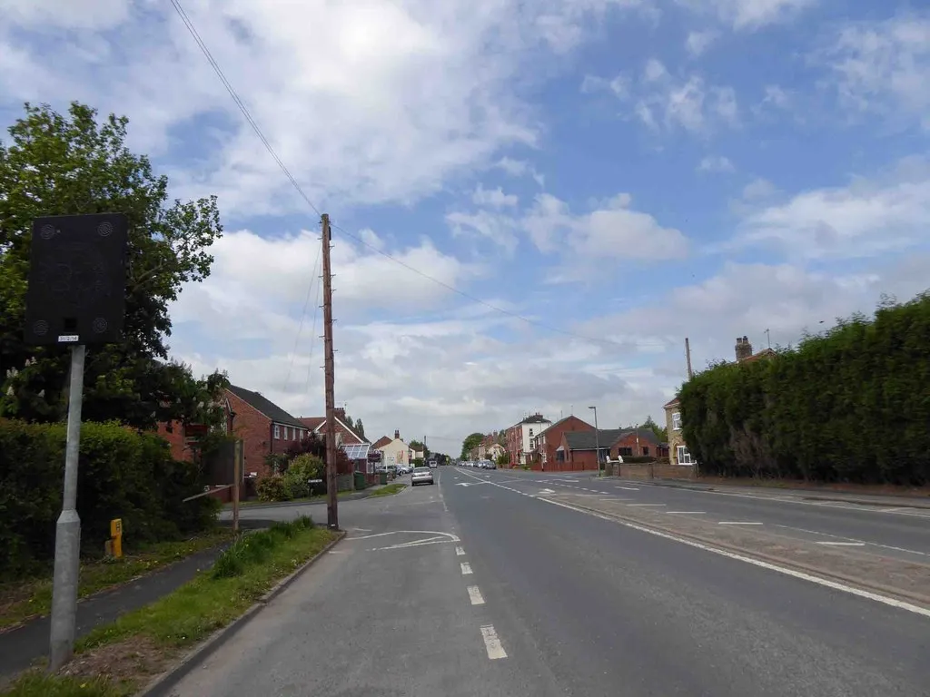
Pocklington, located in the East Yorkshire and Northern Lincolnshire region of the United Kingdom, offers diverse cycling routes for road and gravel cyclists. The area features a mix of flat roads and rolling hills, providing options for riders of all abilities. Pocklington is in close proximity to the Yorkshire Wolds, a designated Area of Outstanding Natural Beauty with scenic cycling trails. The town itself is known for its historic market square and traditional architecture. While there are no famous cycling-related spots or well-known climbs in Pocklington, its varied landscapes and charming surroundings make it an appealing destination for cyclists.12 km
12 km
ElvingtonVillageElvington Airfield has a rich history in aviation, hosting various events and showcasing vintage aircraft.
28 km
28 km
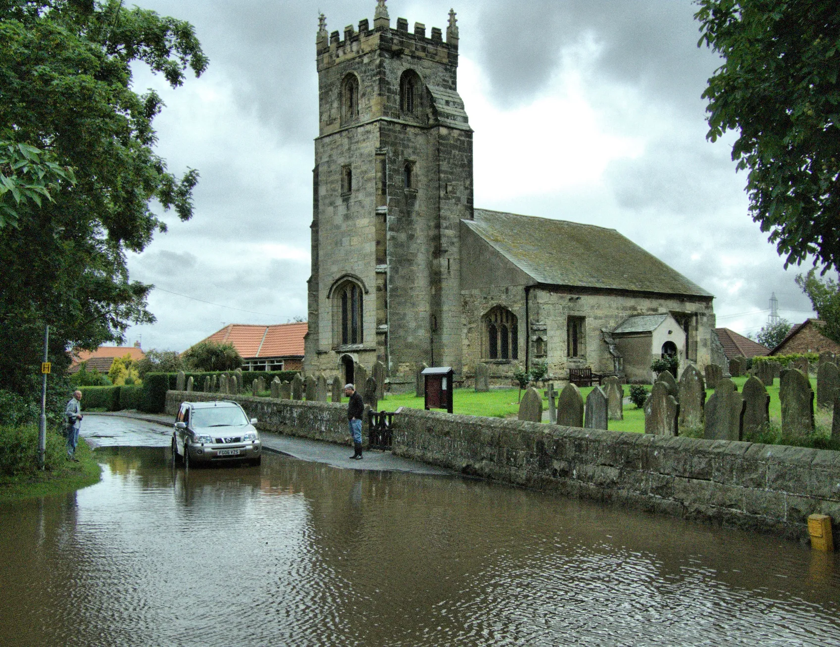
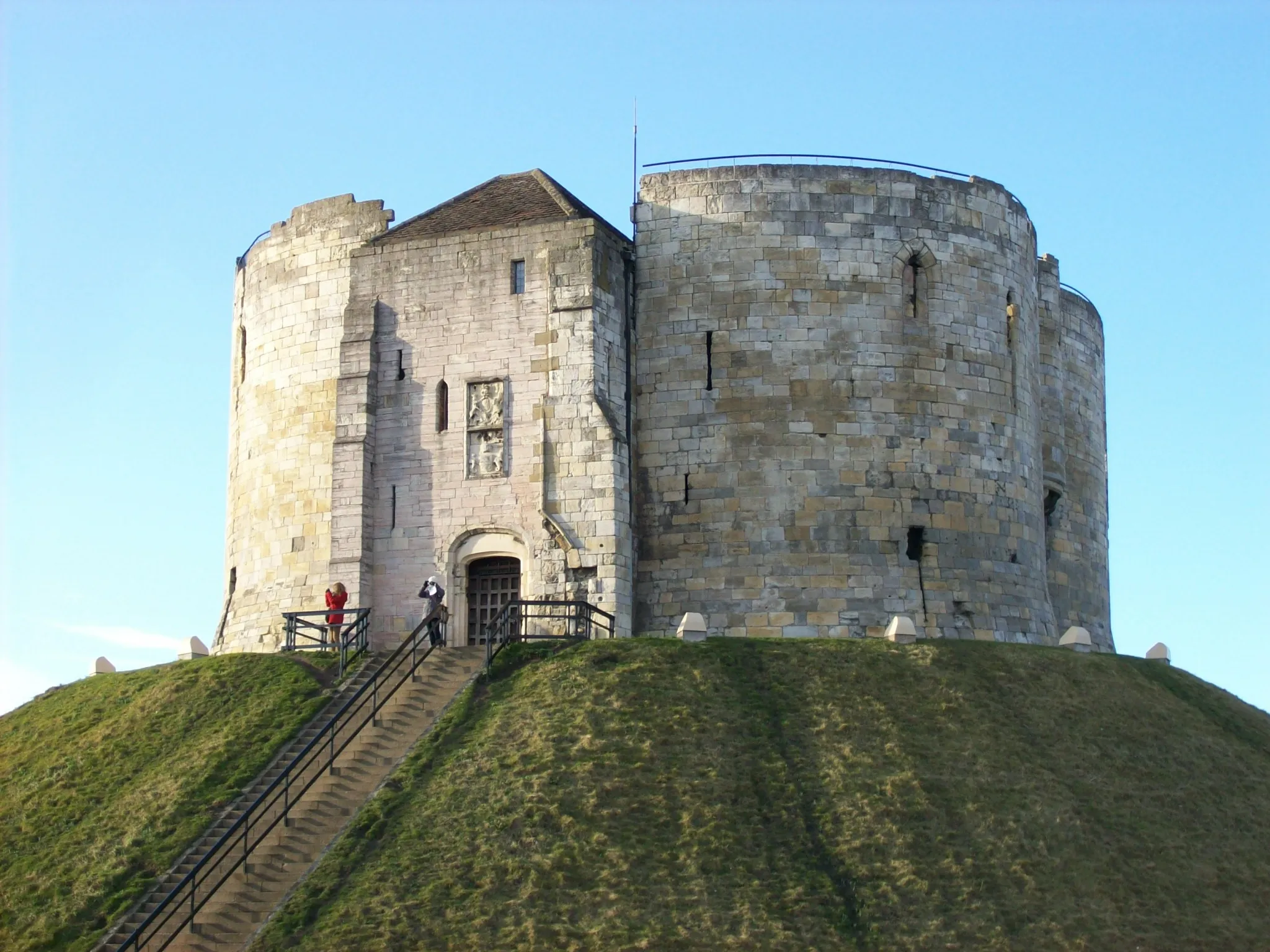
NaburnVillageNaburn Lock marks the crossing point of the River Ouse, boasting scenic views over the river and a popular spot for wildlife enthusiasts.
36 km
36 km
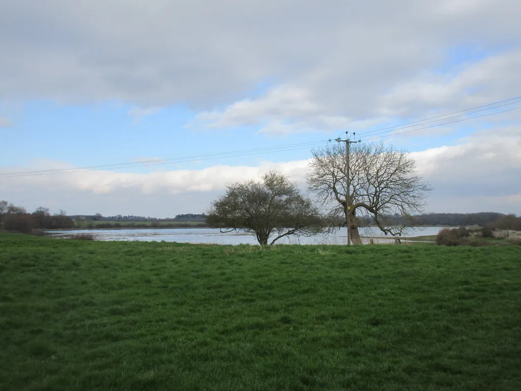
Stock Hill44 mPeakStock Hill, located near Fangfoss, offers panoramic views of the surrounding countryside, making it a scenic stop along the route.
56 km
56 km
Upper PoppletonVillageUpper Poppleton is a charming village with a historic church, delightful cottages, and idyllic landscapes, perfect for a relaxed break.
66 km
66 km
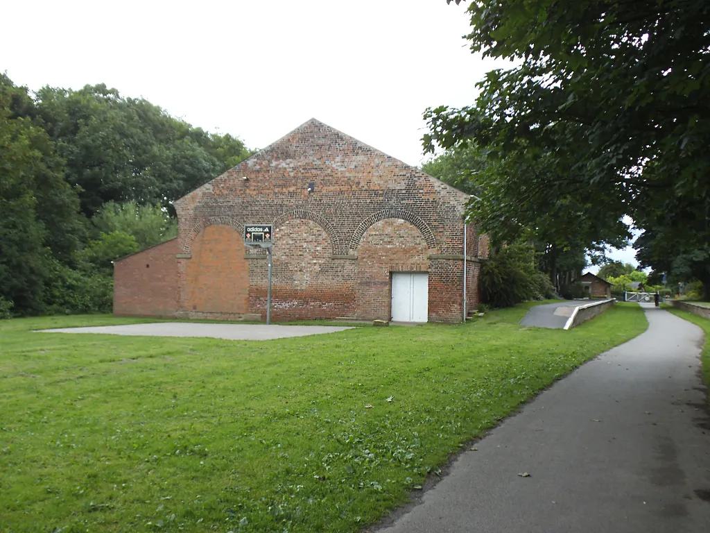
TowthorpeHamletTowthorpe is a small hamlet surrounded by beautiful farmland and picturesque countryside, providing a tranquil retreat for cyclists.
85 km
85 km
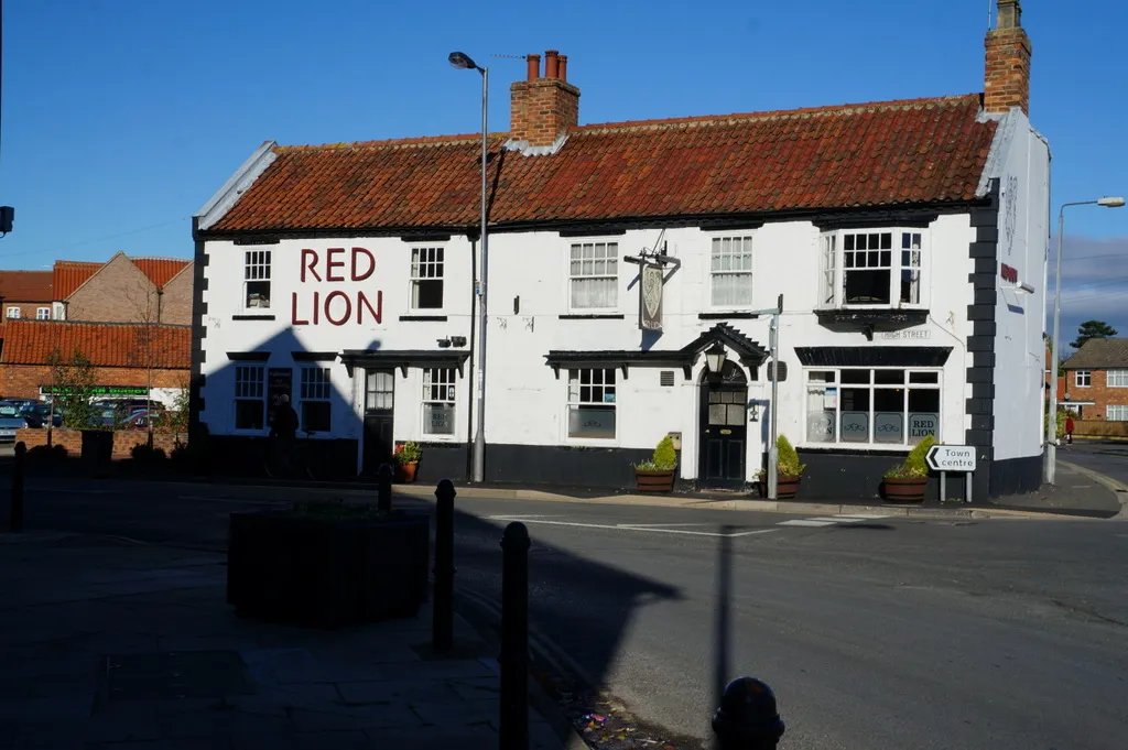
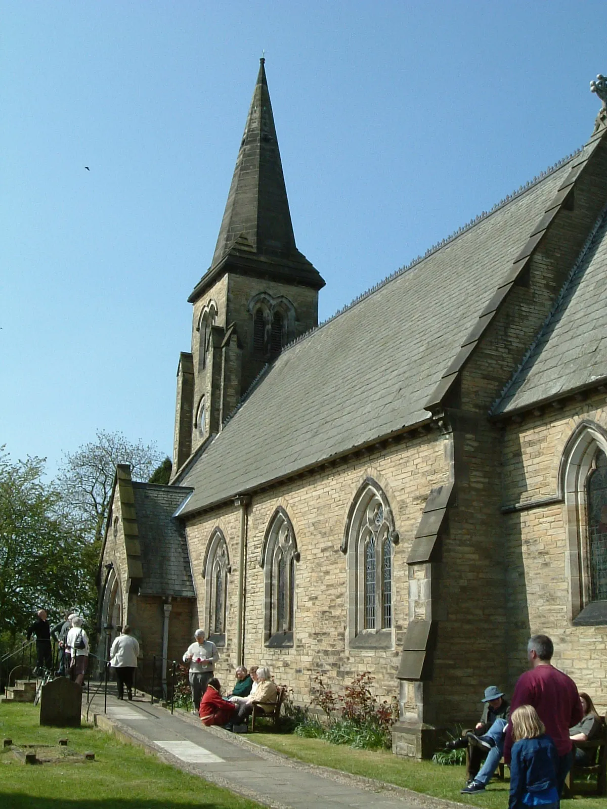
FangfossVillageFangfoss is a vibrant community hub with friendly cafés, shops, and the picturesque All Saints Church, showcasing local history and community spirit.
92 km
92 km
Finish: Pocklington City centerPocklington: Exploring Scenic Landscapes in East Yorkshire
Cycling routes nearby: