Explored the Scottish countryside from Danderhall
Cycling routes from Danderhall
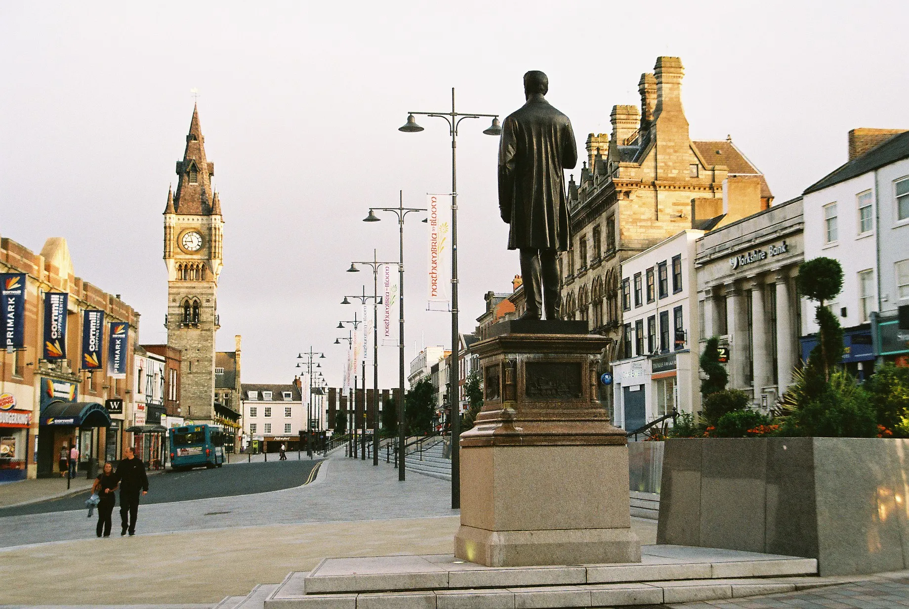
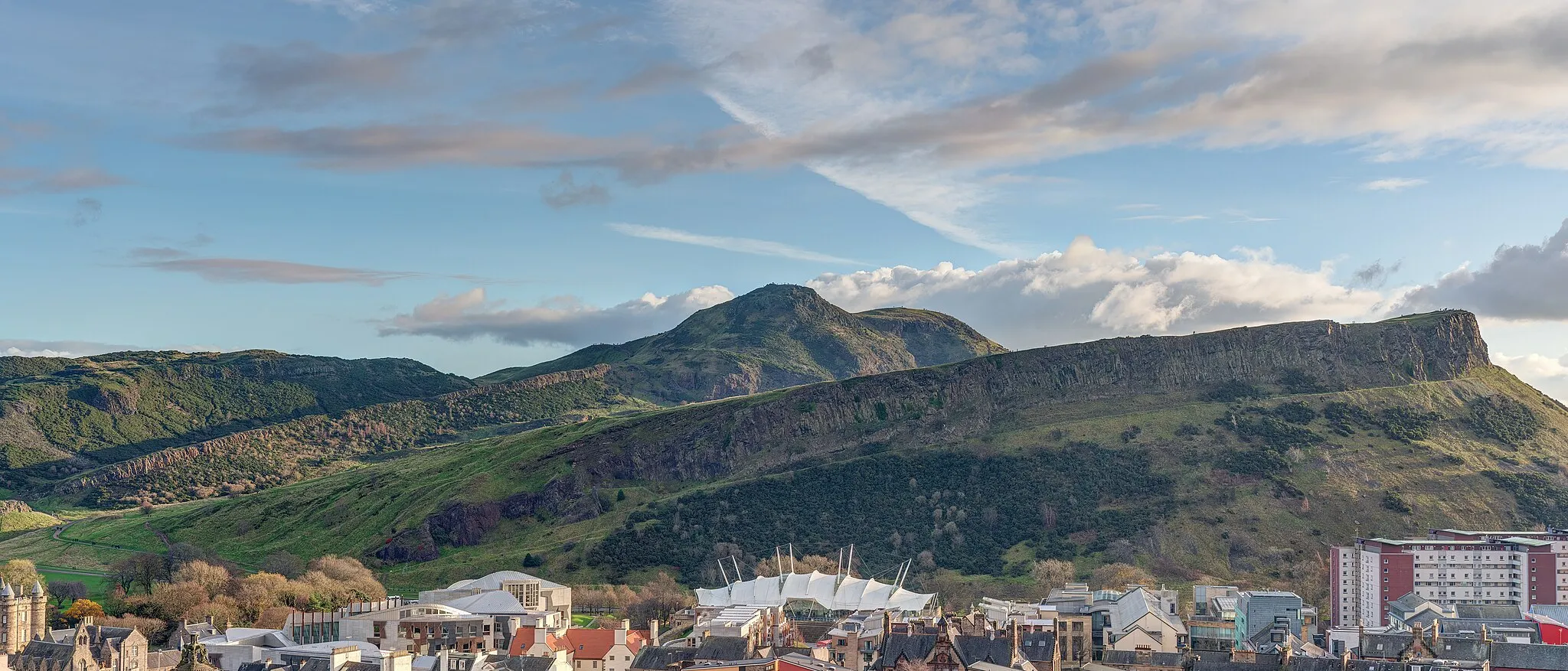
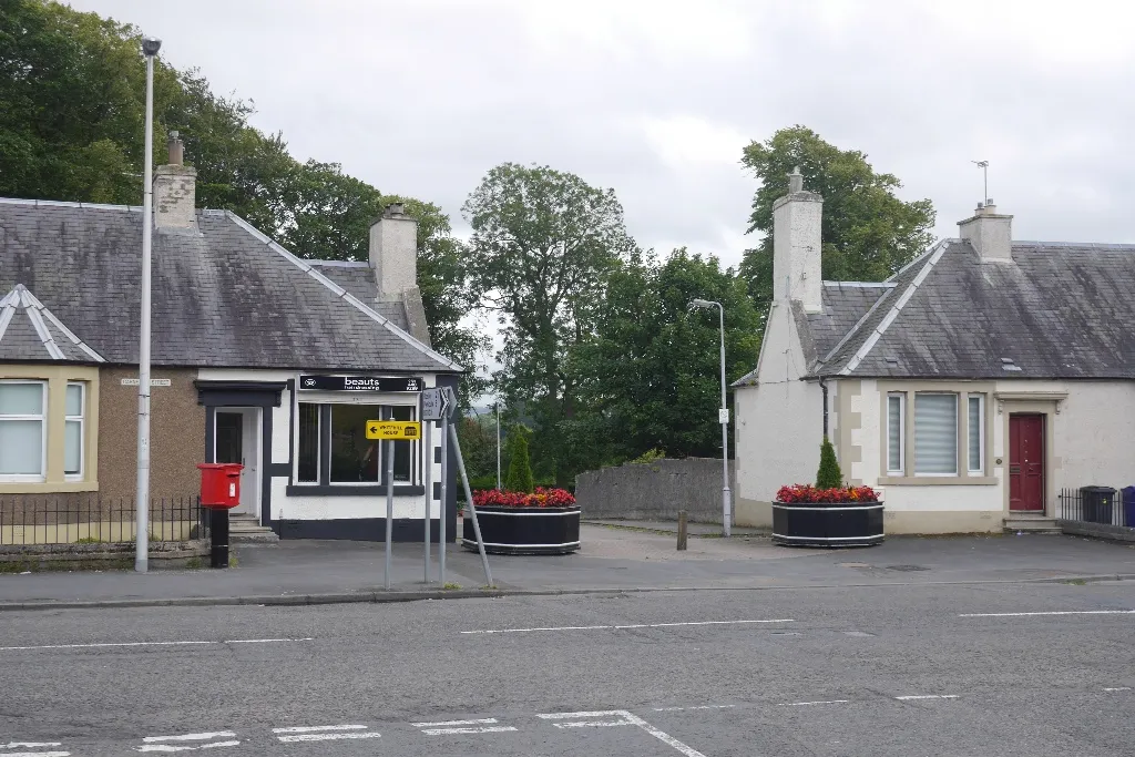
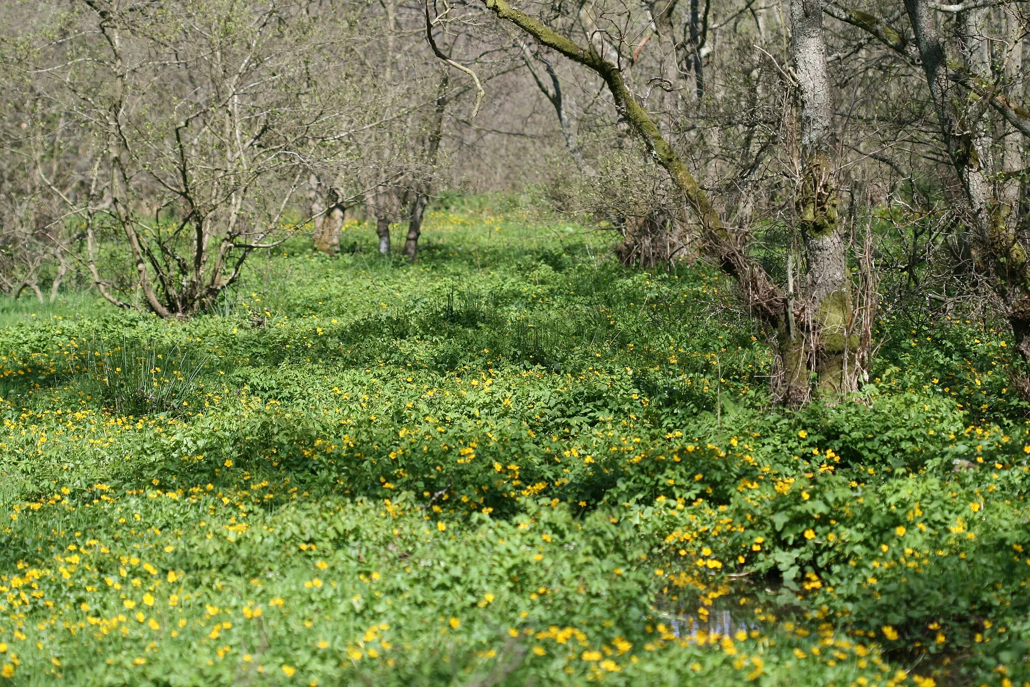
Danderhall, situated in the Eastern Scotland region of the United Kingdom, presents a mixed cycling experience for road and gravel cyclists. The locality offers a reasonable cycling infrastructure, including dedicated cycling paths and quiet country roads. While not particularly known for famous cycling landmarks, Danderhall provides an enjoyable base for exploring the picturesque Scottish countryside. Cyclists can ride through charming villages, explore nature trails, and even embark on longer journeys to nearby attractions like Arthur's Seat in Edinburgh. Overall, Danderhall is a suitable spot for cyclists looking to combine leisure rides with natural beauty.
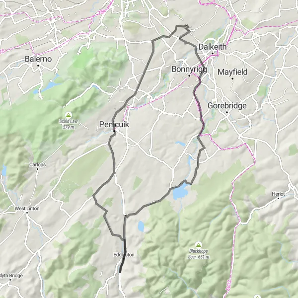
Challenge yourself on this road cycling route featuring stunning landmarks and rolling terrain
Take on this road cycling route, traversing through Carrington, Eddleston, Penicuik, and Gilmerton. Be prepared for challenging ascents and enjoy the rewarding downhill stretches. This route is recommended for experienced cyclists who love picturesque landscapes and a good challenge.
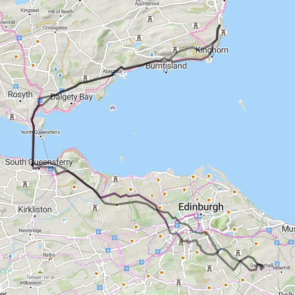
Savor breathtaking panoramic views along the Scenic Hillside Route.
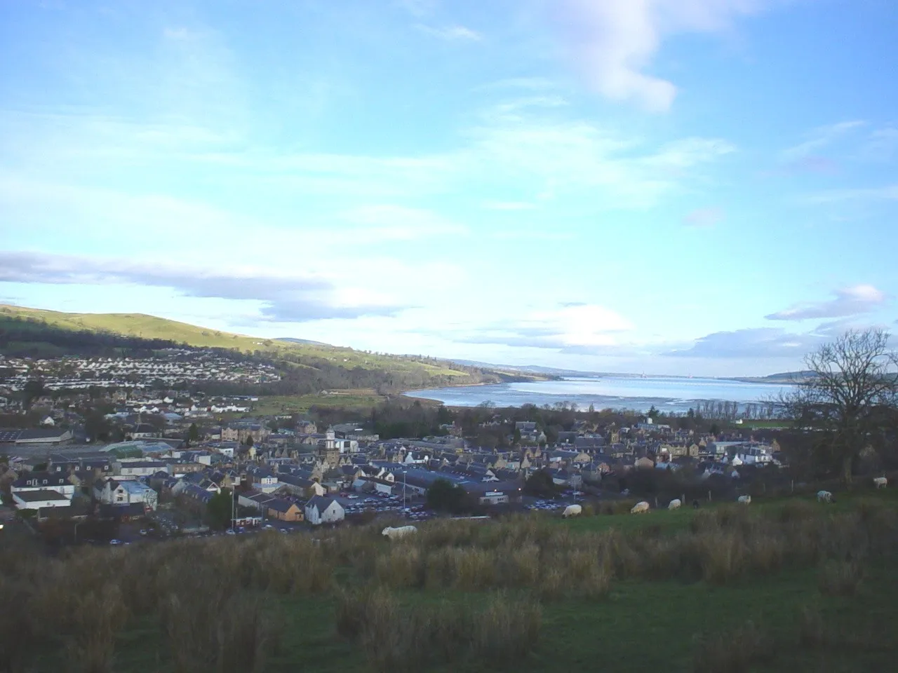
The Scenic Hillside Route offers incredible opportunities to experience breathtaking panoramic views and cycle through some of Scotland's most picturesque landscapes. With a total ascent of 1024 meters and a distance of 95 kilometers, this route is suitable for experienced cyclists seeking a challenging and visually rewarding adventure. Highlights along the route include Blackford, a village nestled at the foot of the Ochil Hills, where you can enjoy panoramic views from the summit of Blackford Hill. The quaint village of Aberdour offers charming coastal scenery and a chance to explore Aberdour Castle, a stunning 12th-century fortress. Don't miss the opportunity to visit South Queensferry, famous for its iconic Forth Bridges and stunning views of the Firth of Forth. Overall, the Scenic Hillside Route provides cyclists with a memorable journey through Scotland's natural beauty.
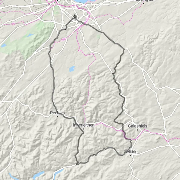
Explore the scenic countryside and historic landmarks on this road cycling route.
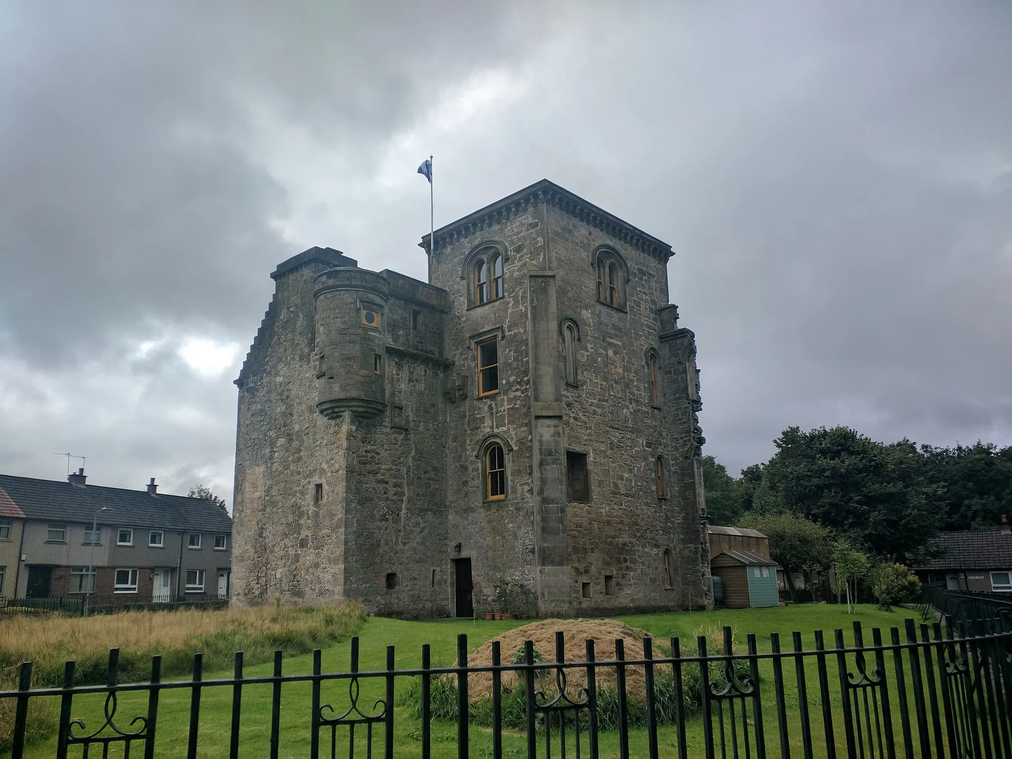
The Dalkeith Circular Route takes you through the beautiful Scottish countryside, passing by historic sites and offering stunning views along the way. With a total ascent of 1358 meters and a distance of 138 kilometers, this route is suitable for experienced cyclists looking for a challenging ride. Along the route, you will encounter highlights such as Bowshank Hill and Tor Hill, which provide breathtaking panoramic views of the surrounding landscape. Don't miss the opportunity to visit Gilmerton Cove, an underground maze of chambers and passages with a fascinating history. Overall, the Dalkeith Circular Route offers a rewarding cycling experience with its mix of challenging climbs and scenic countryside.
Danderhall Gravel Route
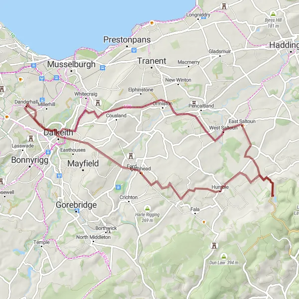
Experience the thrill of off-road cycling in the scenic surroundings of Danderhall.
The Danderhall Gravel Route is a thrilling off-road cycling adventure that takes you through the scenic countryside near Danderhall. With a total ascent of 696 meters and a distance of 57 kilometers, this route is suitable for intermediate cyclists looking for a challenging and unique gravel ride. Highlights along the route include Danderhall, a charming village with beautiful landscapes, and Newton Village, known for its idyllic setting and peaceful atmosphere. The route also offers the opportunity to explore East Saltoun and Ormiston, both historic villages with traditional architecture and interesting landmarks. Overall, the Danderhall Gravel Route provides a refreshing break from road cycling and allows cyclists to explore the natural beauty of the area.
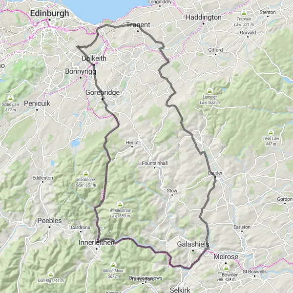
Embark on a historic journey while conquering challenging hill sections
Cycle through historical sites and face challenging ascents as you navigate through the route's key highlights: 1745 Battlefield Viewpoint, Soutra Hill, Lauder, Woodheads Hill, Caddonfoot, Innerleithen, Hillside Knowe, Longshaw, Newtongrange, and finish at Danderhall. This immersive route is recommended for experienced cyclists seeking an epic adventure intertwined with history.
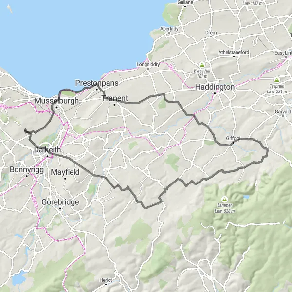
Discover the rich history of the region while cycling through picturesque towns
This road cycling route takes you on a journey through the historical sights and charming towns of Eastern Scotland. With a total ascent of 587 meters and a distance of 60 kilometers, this route offers a moderate challenge for amateur cyclists. Starting near Danderhall, highlights of the route include the 1745 Battlefield Viewpoint, where you can take in breathtaking views and learn about its significance in Scottish history. You'll also pass through the towns of Bolton, Fala, and Dalkeith, each offering their own unique attractions. Overall, this route is a great opportunity to combine your love for cycling with an exploration of Scotland's rich cultural heritage.
Immerse yourself in the challenging hills and historic routes of this road cycling adventure
Experience challenging climbs and historic routes as you cycle through Colinton, Kaimes Hill, Pumpherston, Faucheldean, Craigie Hill, Southside, The Nether Hill, and finally Danderhall. Prepare for breathtaking views, demanding ascents, and exhilarating descents. This route is recommended for experienced riders seeking a thrilling cycling exploration.
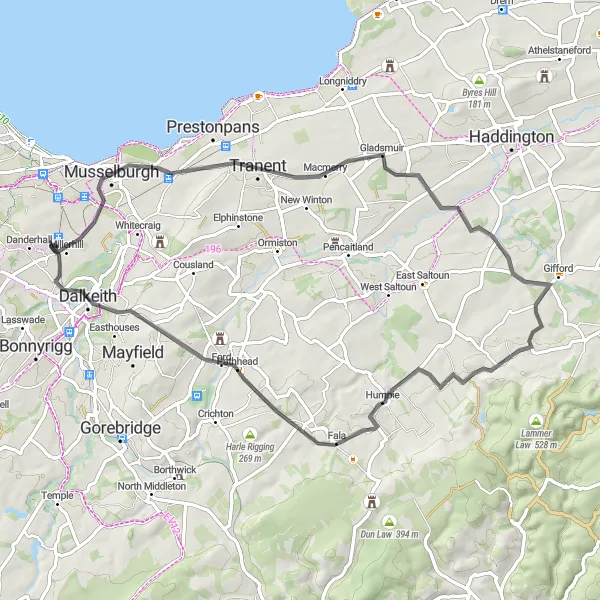
Battlefield Viewpoint Route
Discover the rich history and scenic beauty along the Battlefield Viewpoint Route.
The Battlefield Viewpoint Route offers a mix of history and natural beauty, making it an ideal road cycling adventure for history buffs and nature enthusiasts. With a total ascent of 748 meters and a distance of 72 kilometers, this route is suitable for experienced cyclists looking for a moderately challenging ride. Highlights along the route include the 1745 Battlefield Viewpoint, providing panoramic views of the historic battlefield of Prestonpans, and Gifford, a charming village with a long history and vibrant community. Don't miss the opportunity to visit Fala, a picturesque village known for its traditional architecture and beautiful surrounding countryside. The route also passes through Dalkeith, a historic town with impressive landmarks and a welcoming atmosphere. Overall, the Battlefield Viewpoint Route offers a unique blend of history and scenic beauty that is sure to leave a lasting impression.
The Coastal Adventure
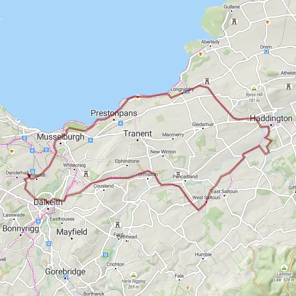
Embark on a gravel cycling journey along the coast, discovering hidden gems
Experience the beauty of the coastal scenery as you cycle through Danderhall, Prestonpans, Haddington, West Saltoun, and Dalkeith. This route offers a delightful mix of coastal views, countryside landscapes, and charming towns along the way. It is suitable for intermediate riders looking for a scenic adventure.
Coast and Countryside
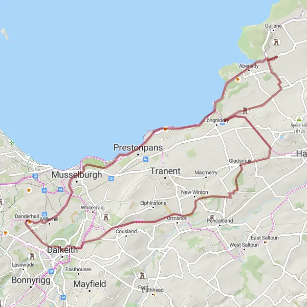
Experience the coastal charm and countryside serenity on this gravel cycling route
Discover the serene coastal landscapes and countryside beauty as you cycle through Prestonpans, Aberlady, Redhouse Castle, Gladsmuir, and Dalkeith. This route offers a mix of flat stretches, rolling foothills, and stunning views. Suitable for intermediate-level gravel cyclists looking for a peaceful biking experience.
Cycling routes nearby:


Nearby regions: