Exploring the diverse routes of Mayfield on two wheels
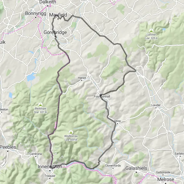
Cycling routes from Mayfield
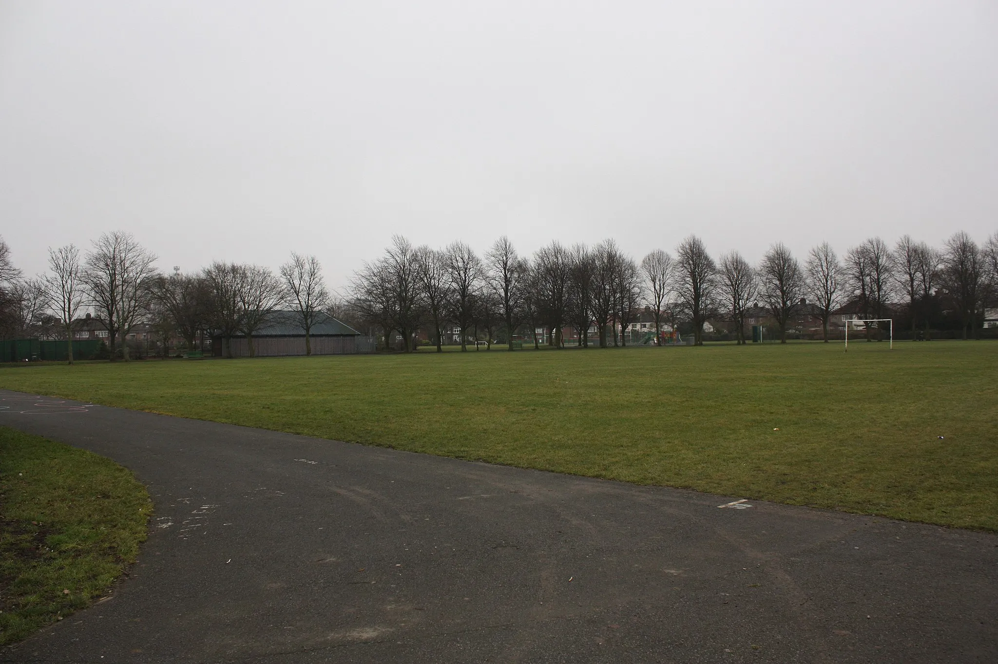
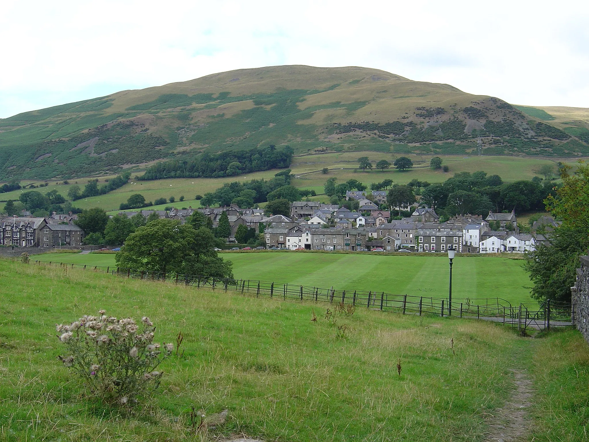
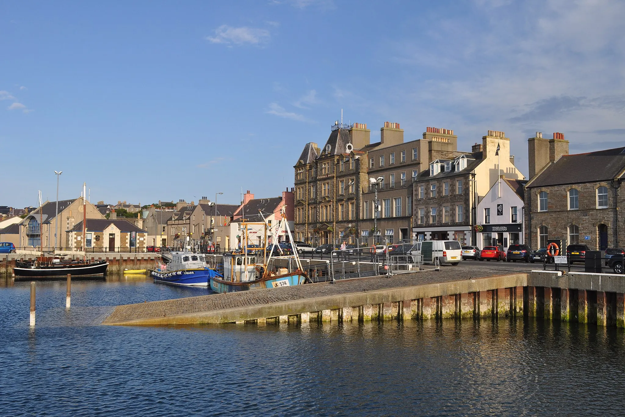
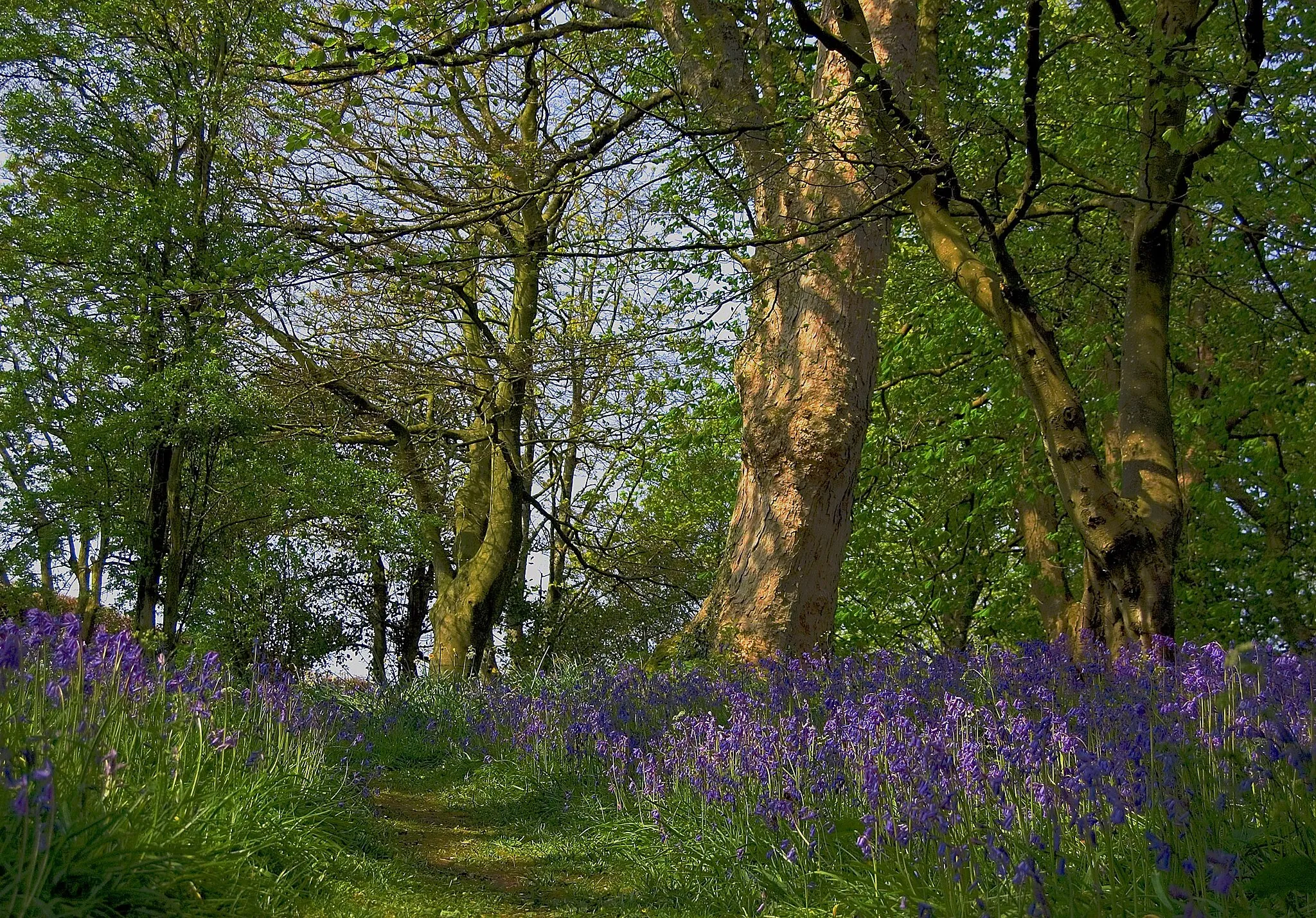
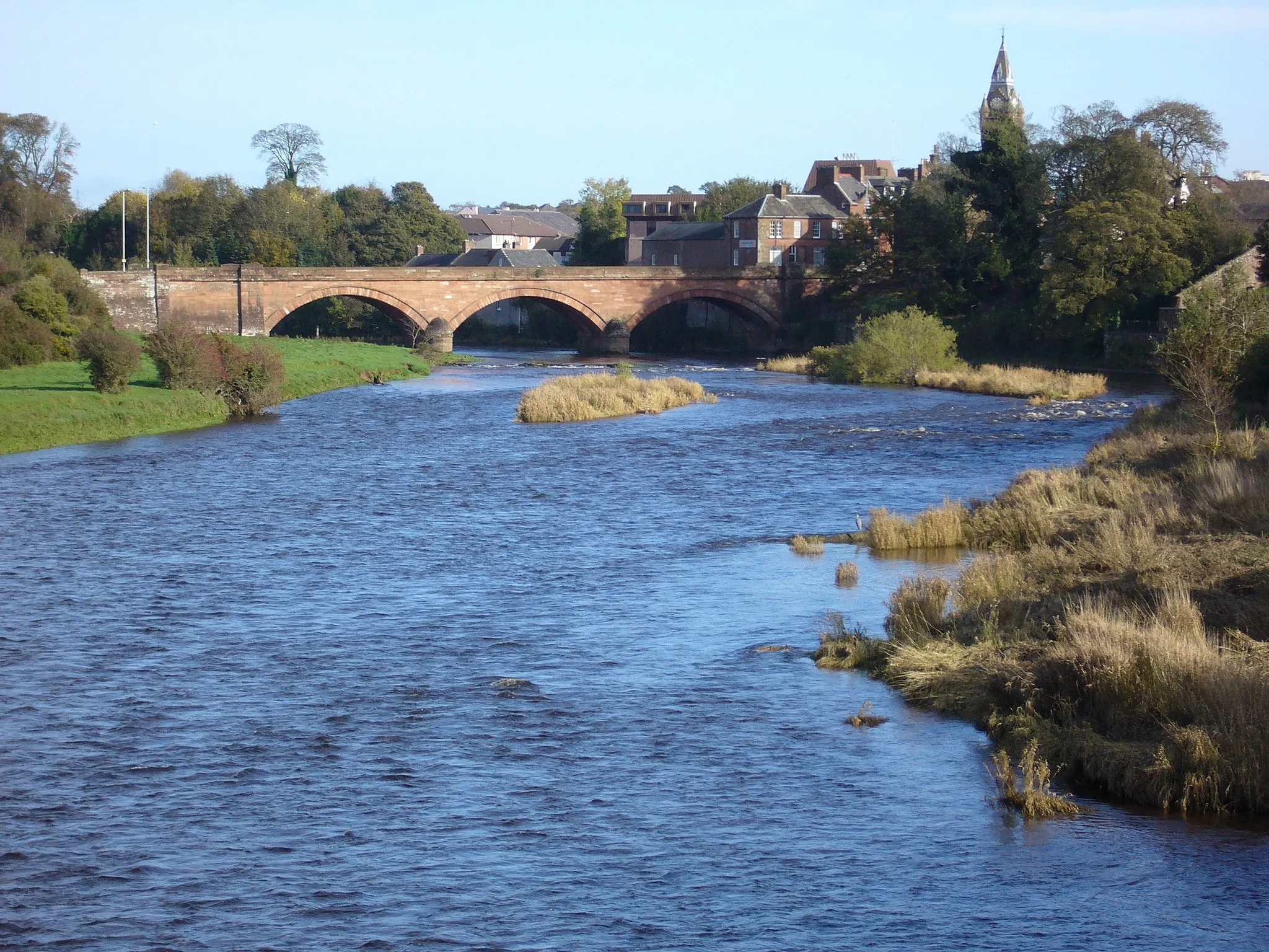
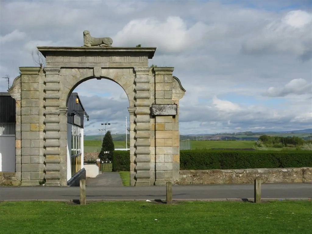
Situated in the Eastern Scotland region of the United Kingdom, Mayfield is a locality with cycling opportunities suitable for both road and gravel enthusiasts. The locality features a mix of flatter roads and rolling hills, providing exciting routes. Mayfield itself is a small village characterized by traditional architecture and a laid-back atmosphere. For cyclists seeking a challenge, the nearby cycle loop incorporating the climb of Arthur's Seat provides an iconic and demanding journey. Mayfield, with its scenic surroundings and cycling-friendly environment, is a great choice for cyclists visiting Eastern Scotland.
Mayfield Gravel Exploration
Discover the beauty of gravel cycling around Mayfield.
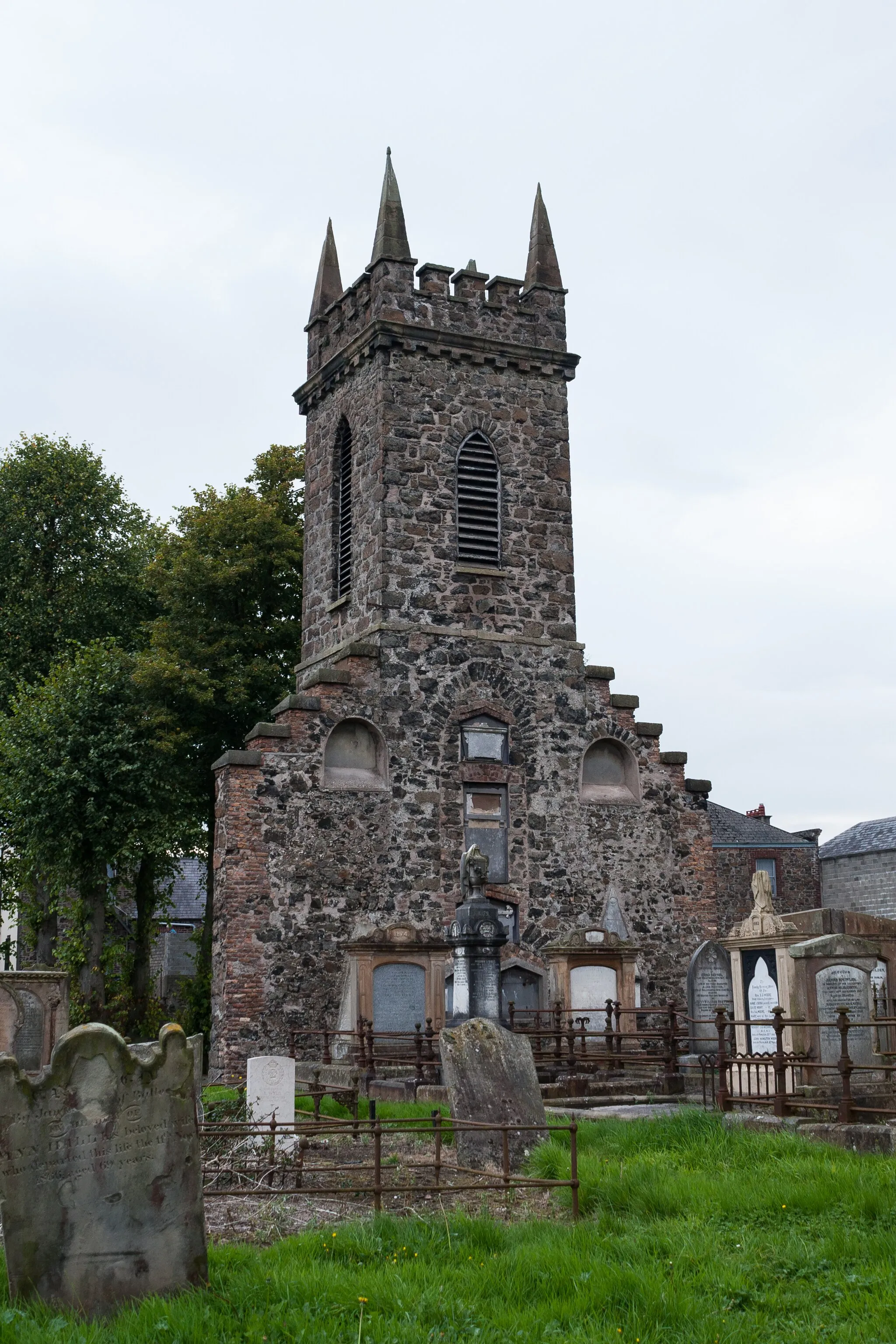
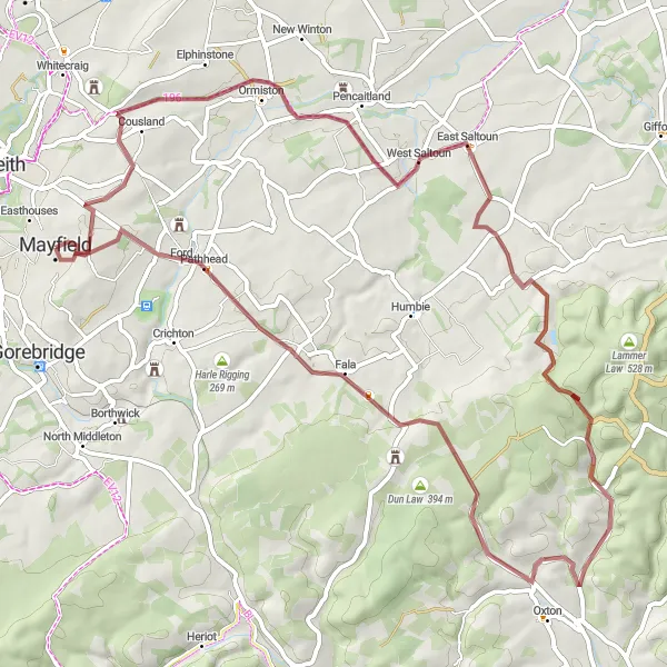
Set out on this gravel exploration around Mayfield for cycling adventures immersed in stunning landscapes. With an ascent of 856 meters and a distance of 61 kilometers, this route provides an enjoyable challenge suitable for well-trained amateur cyclists. Highlights include the historic ruins of Ormiston Castle and East Saltoun. Soutra Aisle, located at Soutra Hill, offers a fascinating glimpse into medieval medical practices. Explore the rural beauty of West Hill as you pedal through scenic routes. Overall, this ride combines historical discovery with natural wonders.
Explore the mysterious Gilmerton Cove and conquer Lawhead Hill in this challenging road cycling loop near Mayfield.
Take on this challenging road cycling route that features a visit to the fascinating underground labyrinth of Gilmerton Cove and offers stunning views from the top of Lawhead Hill. With a total ascent of 934 meters and a distance of 104 kilometers, this route is recommended for experienced riders. Enjoy the scenic countryside along the way and push yourself to climb the demanding Moot Hill and Black Meldon. Don't miss the panoramic views from the Stobo and Auchendinny sections. This route promises a thrilling adventure and exceptional scenery throughout.
Embark on a thrilling gravel adventure through varied terrains.
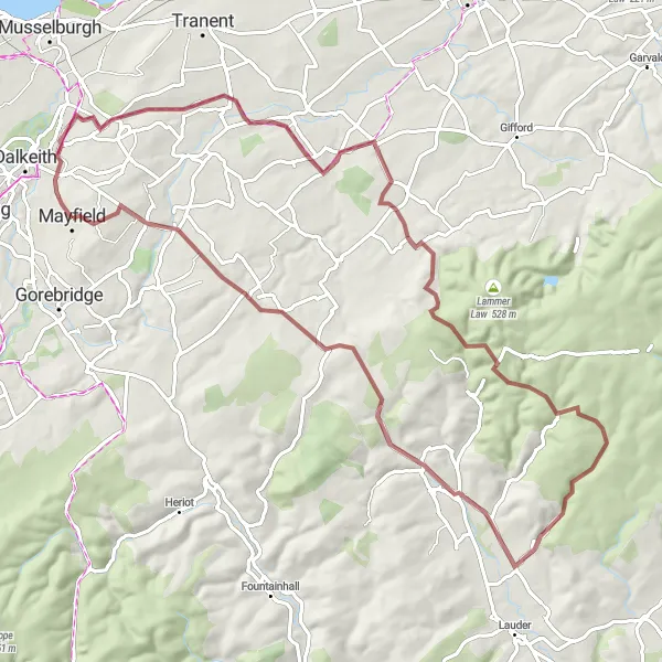
This gravel adventure from Mayfield is perfect for those seeking excitement and variety. With an ascent of 1130 meters and a distance of 73 kilometers, it offers a challenging yet rewarding experience for experienced amateur cyclists. As you ride, you'll encounter diverse landscapes, including the picturesque East Saltoun and the hilly terrain of Soutra Hill. Hog Hill and Oxton add historical interest to the route. Overall, this epic adventure promises an exhilarating journey through both natural beauty and historic landmarks.
Explore the scenic countryside around Mayfield on this challenging road cycling route.
This round-trip cycling route starting near Mayfield takes you on a journey through the hidden hills of Eastern Scotland. With a total ascent of 1203 meters and covering a distance of 92 kilometers, this route offers a challenging and rewarding experience for well-trained amateur cyclists. The route passes through charming towns and villages, offering panoramic views of the Scottish countryside along the way.
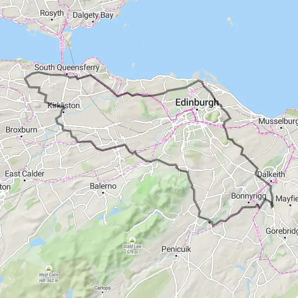
Embark on an exciting road cycling adventure to Kirkliston and soak in the stunning views along the way.
Begin your road cycling adventure from Mayfield to Kirkliston, a historic village boasting stunning architecture and charming streets. With a total ascent of 613 meters and a distance of 78 kilometers, this route offers a thrilling challenge for experienced cyclists. Take in the peaceful surroundings as you pass through Hopefield and Colinton. Enjoy the panoramic vistas from the Forth Bridges Viewpoint, showcasing the iconic landmarks that connect Edinburgh and Fife. Appreciate the historical significance of Kirkliston and immerse yourself in its fascinating past. Discover the beauty of Dunsapie Crag and feel the wind on your face as you conquer its inclines. Complete the route with a ride through Newtongrange, admiring the peaceful landscapes along the way. This road cycling adventure promises breathtaking scenery and a chance to discover the intriguing history of Eastern Scotland.
Cycle through scenic countryside and visit historic castles.
This road cycling route from Mayfield to Fala takes you through picturesque Scottish countryside, providing beautiful landscapes and a chance to explore historic castles. With an ascent of 909 meters and a distance of 95 kilometers, it offers a moderate challenge for experienced amateur cyclists. The highlight of this route is Yester Castle, a medieval stronghold surrounded by enchanting woodlands. At Ormiston, you can also visit the remains of a 12th-century castle. Overall, this route combines natural beauty with historical charm.
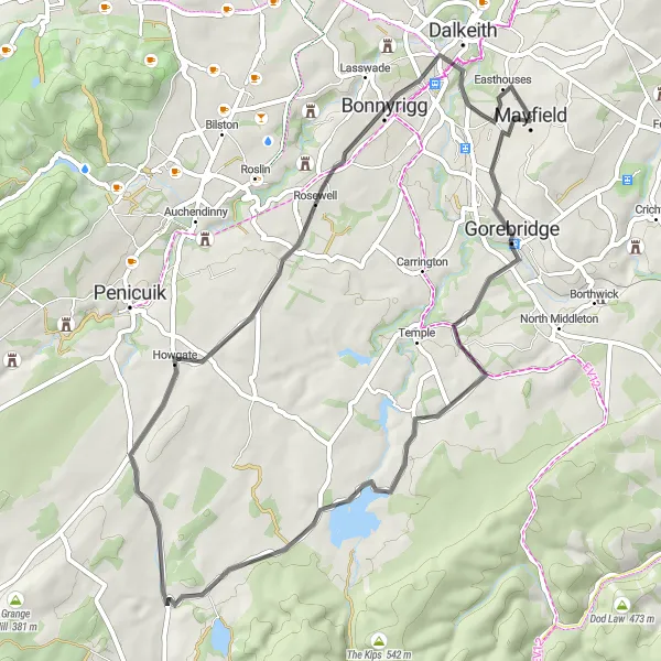
Cycle through scenic countryside and charming villages.
Ideal for a leisurely ride, this road cycling route from Mayfield takes you through the scenic countryside and charming villages. It offers a relatively easy challenge with an ascent of 413 meters and a distance of 48 kilometers. Along the way, you can admire the peaceful town of Halk Law and the historic Howgate village. Bonnyrigg is another highlight, known for its picturesque setting. This route provides a delightful mix of natural beauty and cultural attractions.
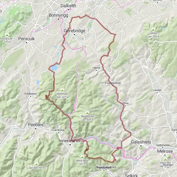
Embark on a challenging gravel adventure through varied terrain.
For gravel enthusiasts, this route from Mayfield offers a thrilling adventure through diverse terrains. With an ascent of 1693 meters and a distance of 108 kilometers, it provides a significant challenge for experienced amateur cyclists. Highlights of this route include White Hill, known for its breathtaking views, and Craig Hill, which offers a picturesque setting for a break. You'll also pass by historic landmarks such as Hirendean Castle and Cardon Law. Overall, this epic route offers a mix of challenging sections, natural beauty, and historical intrigue.
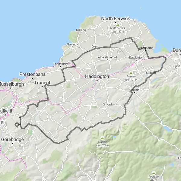
Experience the scenic beauty and challenging climbs of the Fairtable route.
The Fairtable Cycling Route offers a combination of breathtaking views and testing climbs. This scenic route takes you through charming villages and along hilly terrain, providing a rewarding challenge for experienced cyclists. With highlights such as Pathhead, Soutra Hill, and Gorebridge, this route promises a memorable cycling experience for those seeking adventure.

Enjoy a peaceful gravel ride through picturesque Gladsmuir and West Saltoun near Mayfield.
Escape the hustle and bustle and embark on a scenic gravel ride through the charming villages of Gladsmuir and West Saltoun near Mayfield. This route presents a total ascent of 413 meters and covers a distance of 48 kilometers. Perfect for gravel enthusiasts, this ride offers the opportunity to admire the peaceful countryside and lush greenery. Explore Easthouses, a village steeped in history due to its mining heritage. Journey through the scenic landscapes of Gladsmuir and reach its picturesque surroundings. Wet your appetite with a well-deserved break at West Saltoun, dotted with quaint cottages and stunning views. This tranquil gravel ride promises a refreshing escape from everyday life and a chance to soak in the beauty of Eastern Scotland's countryside.
Cycling routes nearby:


Nearby regions: