Diverse Cycling in Essex
Cycling routes from Rayleigh
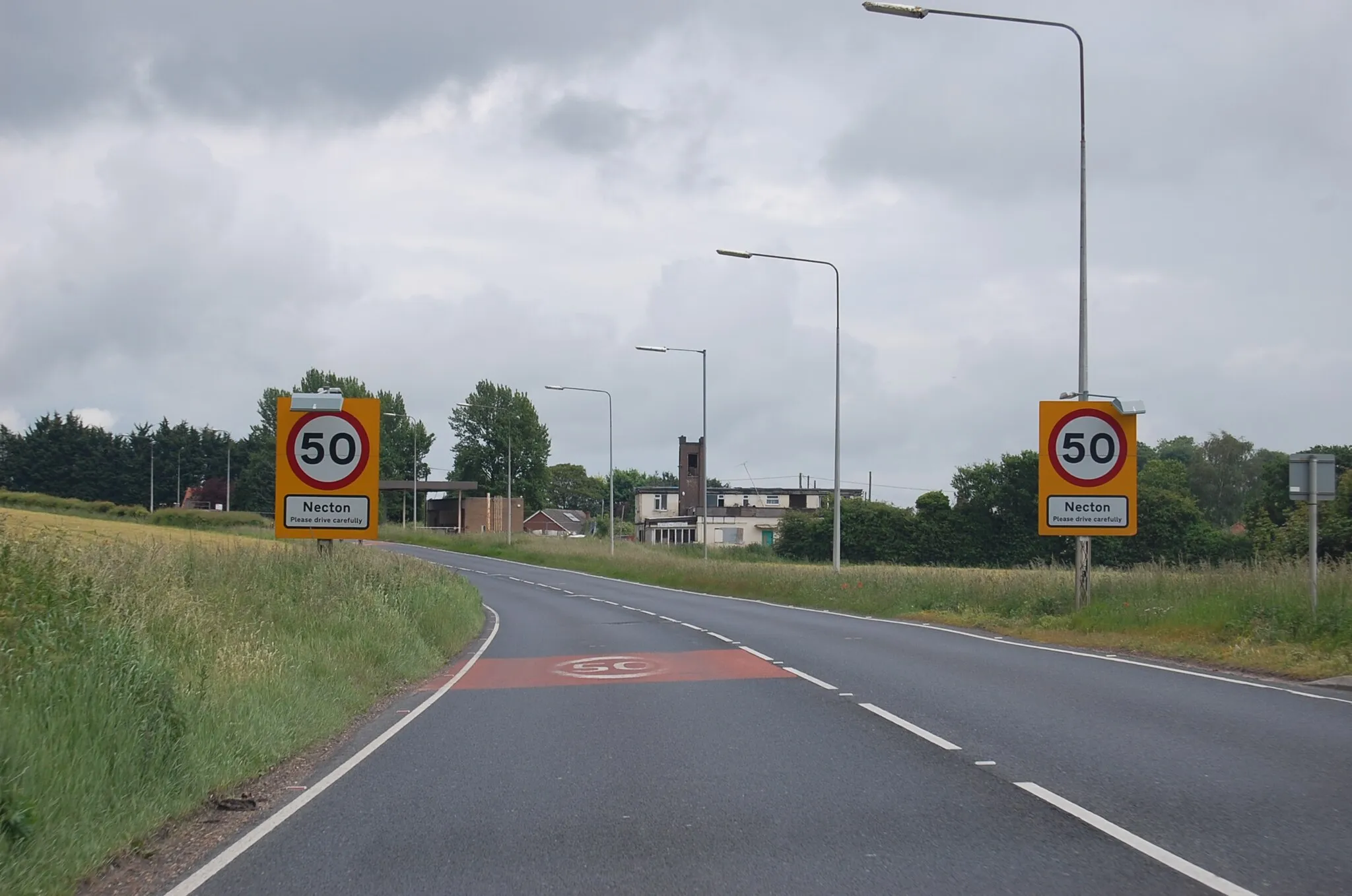
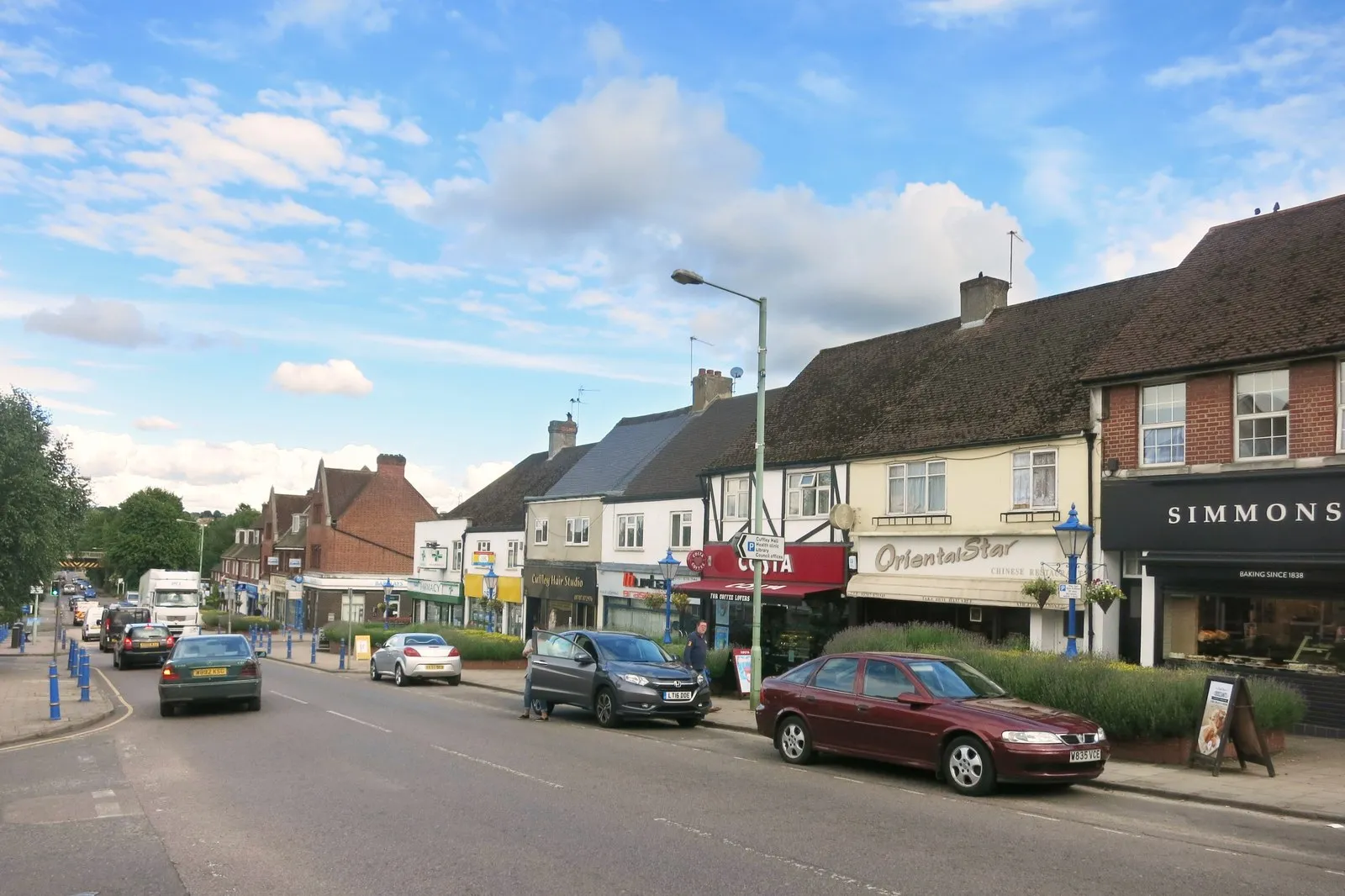
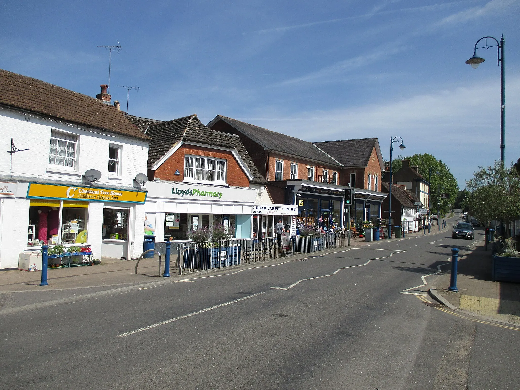
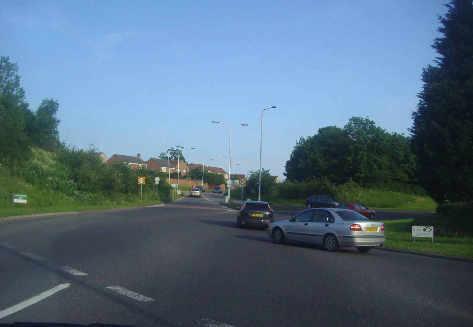
Rayleigh, located in Essex, United Kingdom, offers a range of cycling opportunities to both road and gravel cyclists. The locality features a mix of urban and rural areas, allowing cyclists to enjoy versatile rides. The road infrastructure is decently maintained, and there are several cycling routes and trails that cater to different skill levels. Rayleigh is close to the well-known Hanningfield Reservoir, which provides cyclists with a scenic and nature-filled destination for their rides. While Rayleigh may not have any famous climbs, its accessibility and cycling-friendly amenities make it a suitable base for exploring the region on two wheels.
Embark on a thrilling journey from Rayleigh to Rettendon via Chelmsford
Experience the highlights of Chelmsford and its surrounding areas on this epic 95-kilometer road route. With a challenging ascent of 531 meters, this route is perfect for seasoned cyclists seeking an adrenaline-filled adventure. Highlights include Brentwood, Chipping Ongar, Leaden Roding, and the final destination, Rettendon. Immerse yourself in the picturesque landscapes, historic sites, and delightful villages as you pedal through this iconic journey.
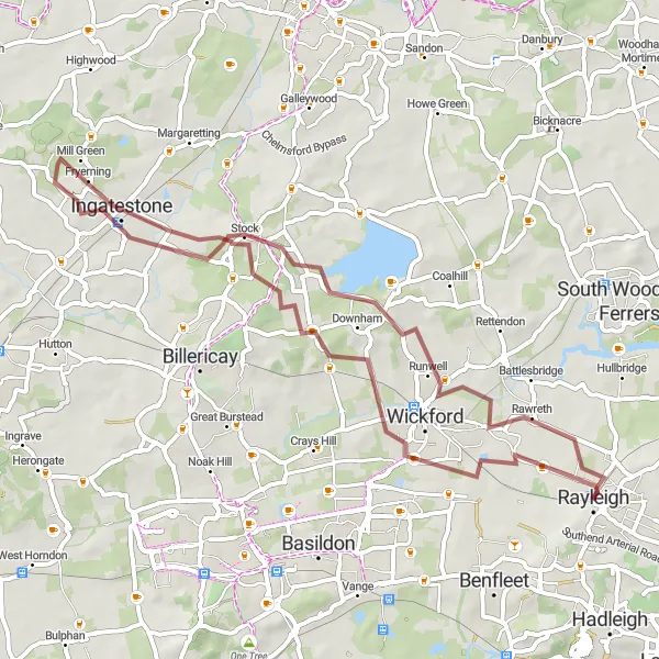
Experience the picturesque villages of Ramsden Heath and Fryerning on this gravel round-trip near Rayleigh.
Discover the beauty of Ramsden Heath and Fryerning on this gravel round-trip near Rayleigh. With a distance of 53 km and an ascent of 323 meters, it offers a moderate challenge for cyclists. Enjoy the peaceful countryside scenery and the quaint villages along the route.
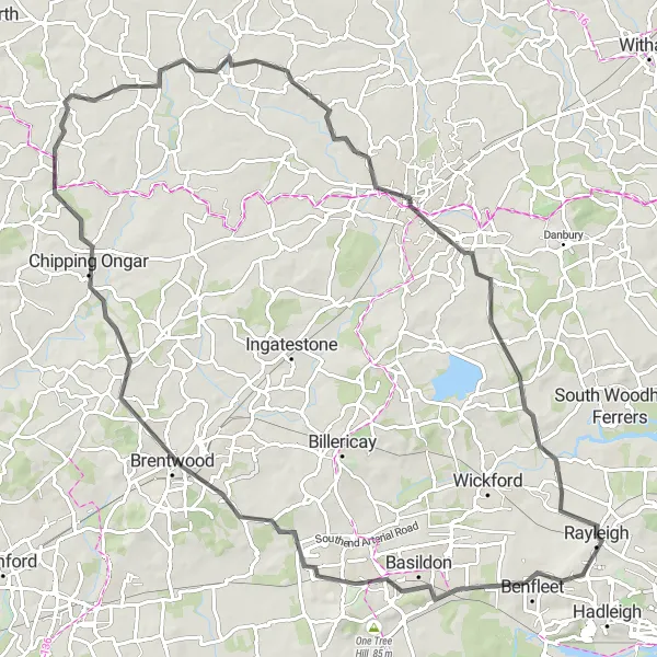
Embark on a road cycling journey to One Tree Hill and North Ockendon starting from Rayleigh.
This road cycling round-trip takes you through the picturesque landscapes of One Tree Hill and North Ockendon. Covering a distance of 60 km with an ascent of 487 meters, it is suitable for experienced cyclists. Enjoy the scenic countryside views and notable landmarks along this adventurous route.
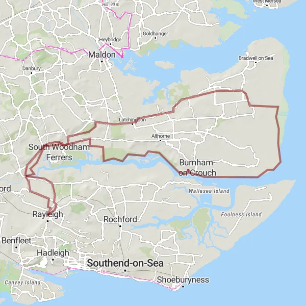
Embark on an epic coastal adventure from Cold Norton to Burnham-on-Crouch
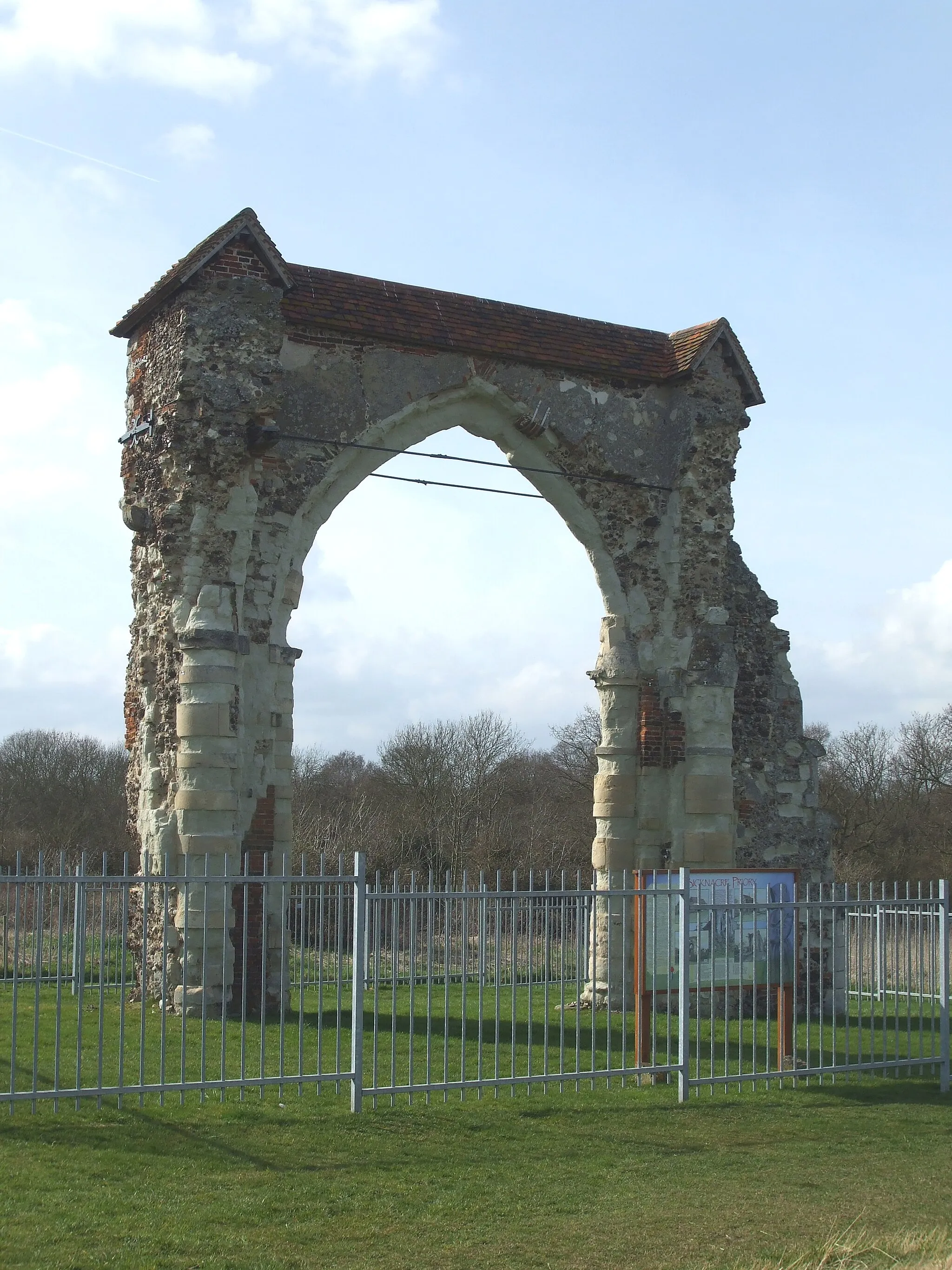
Embark on an epic cycling journey along the coast, starting from Cold Norton and ending at the beautiful town of Burnham-on-Crouch. This 86-kilometer gravel route offers diverse landscapes and magnificent coastal views. With a total ascent of 244 meters, this challenging trail is perfect for experienced riders looking for a thrilling adventure. Highlights include Tillingham, North Fambridge, and Hullbridge. Immerse yourself in the natural beauty of the Essex coastline as you pedal through this memorable route.
The Gravel Explorer
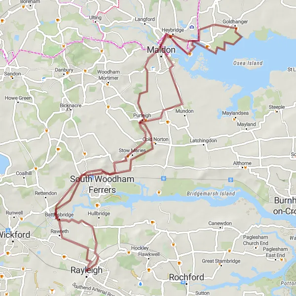
Venture into the scenic landscapes of Rawreth and beyond
Get ready for an adventure as you explore the gravel paths of Rawreth and surrounding areas. This 72-kilometer route with an ascent of 306 meters promises a thrilling ride for gravel enthusiasts. With highlights including Purleigh, Maldon, Goldhanger, Cold Norton, and Hullbridge, you'll encounter diverse landscapes and picturesque villages steeped in history. The route offers a medium difficulty level, ideal for those seeking a challenge while still enjoying the scenic beauty of the Essex countryside.
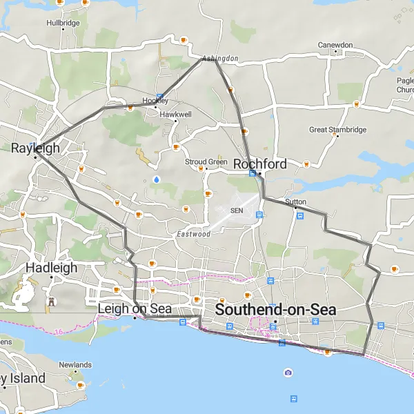
Cycle through historic Rochford and surrounding areas
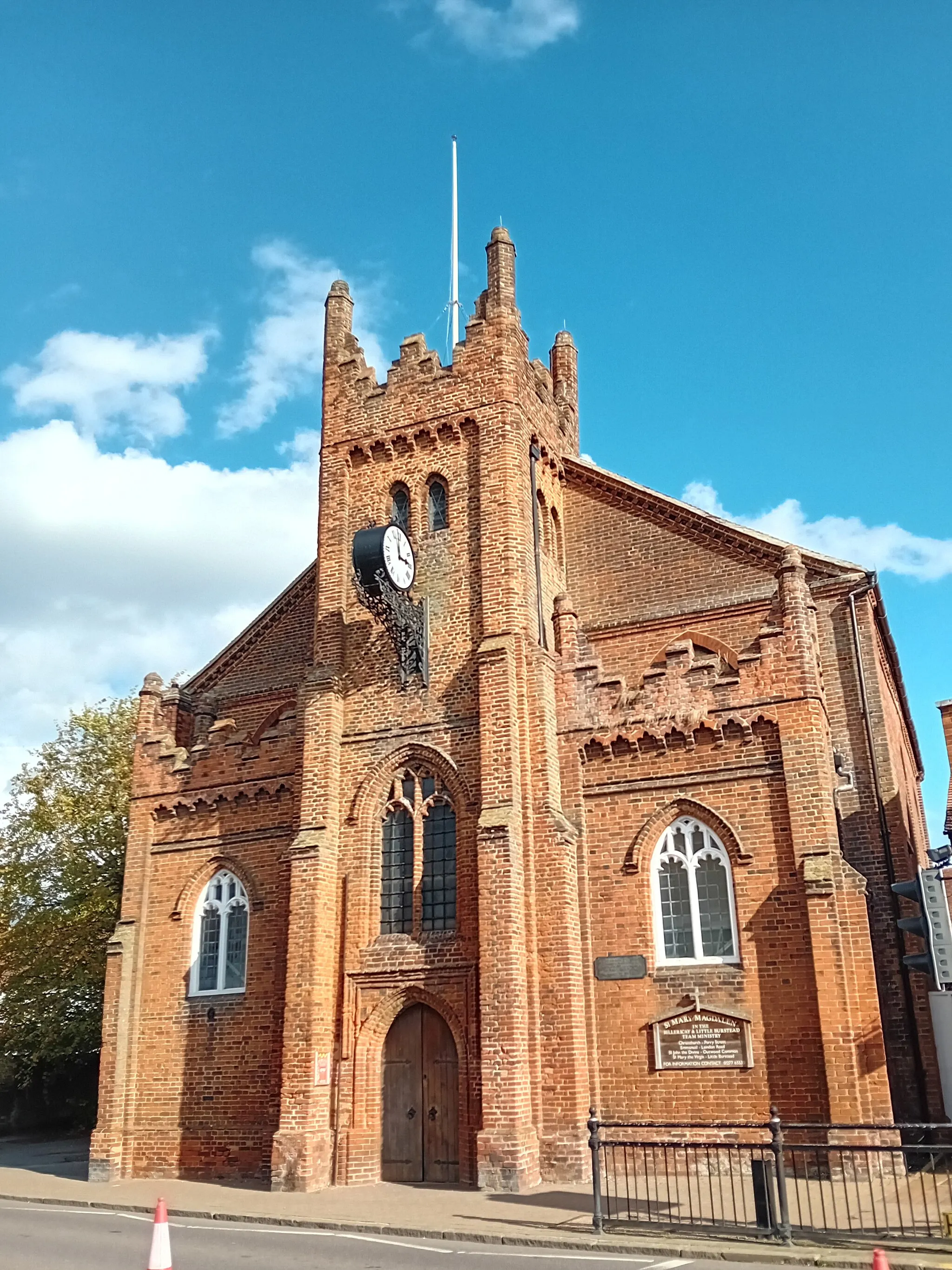
Embark on a scenic cycling journey through Rochford and nearby towns, exploring the rich history of the area. This route offers a moderate challenge with a total ascent of 165 meters and covers a distance of 35 kilometers. With highlights such as Southchurch and Rayleigh along the way, you will experience the charm of these idyllic towns. Take in the picturesque views and enjoy the countryside as you pedal through this distinctive route.
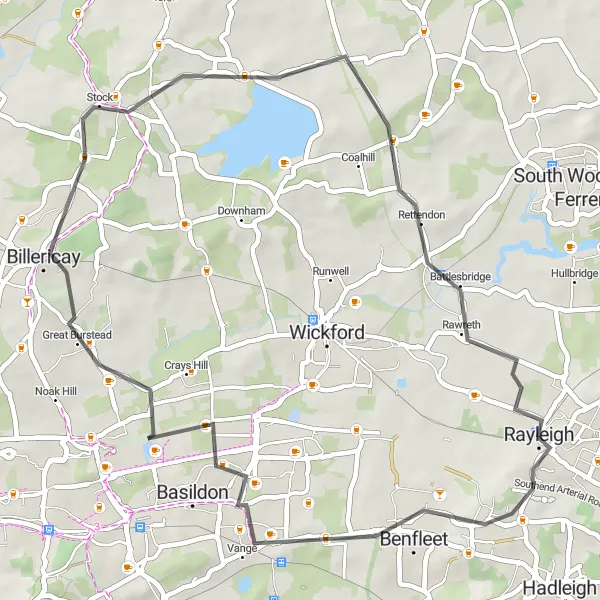
Explore the scenic countryside around Rayleigh
Escape into the idyllic countryside surrounding Rayleigh with this 37-kilometer gravel route. Experience tranquility as you pedal through Crays Hill, Basildon, Benfleet, and Rayleigh Mount. With an ascent of 238 meters, this route offers a moderate challenge suitable for riders seeking a peaceful cycling adventure. Immerse yourself in the charm of the Essex countryside and enjoy the rural landscapes, picturesque villages, and hidden gems along the way.
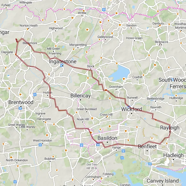
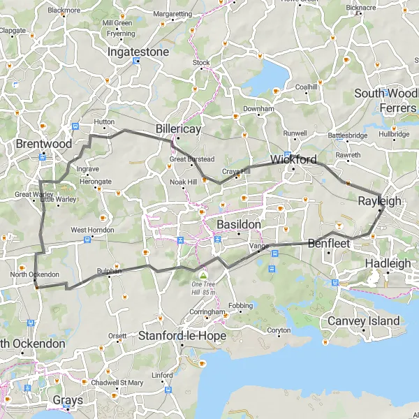
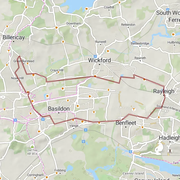
Explore the scenic towns of Basildon and Ingatestone on this gravel route near Rayleigh.
This gravel round-trip takes you through the charming towns of Basildon and Ingatestone. With a total distance of 67 km and an ascent of 449 meters, it is suitable for well-trained amateurs. The route offers a mix of beautiful countryside landscapes and urban scenery. Enjoy the challenge and adventure of gravel cycling.
Cycle through Benfleet and West Hanningfield on this road round-trip starting from Rayleigh.
Explore Benfleet and West Hanningfield on this road round-trip near Rayleigh. Covering a distance of 45 km with an ascent of 335 meters, it is suitable for intermediate cyclists. Enjoy the mix of urban and countryside landscapes along the route.

Embark on a road cycling adventure through Billericay and Good Easter on this picturesque route.
This road cycling round-trip takes you through the charming towns of Billericay and Good Easter. Covering a distance of 103 km with an ascent of 531 meters, it is suitable for experienced cyclists. Enjoy the scenic countryside views and visit historical landmarks along the way.
Cycling routes nearby:

Nearby regions: