Chipping Sodbury to Hullavington Loop
A road cycling route starting from Chipping Sodbury
A loop ride passing through charming villages and picturesque countryside.
Map
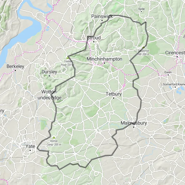
This circular route takes you through beautiful rural scenery. Starting from Chipping Sodbury, the route passes through Wotton-under-Edge, Coombe Alpacas, and Stroud, offering delightful views of rolling hills and fields. The highlight of this route is the ascent up Coaley Peak, providing panoramic views of the surrounding countryside. The route then continues through Miserden, Sapperton Hill, and Hullavington before returning to Chipping Sodbury. This ride offers a good mix of challenging climbs and picturesque landscapes.
road
108 km
1025 m
Tough
Route profile
Highlights on the route
0 km
0 km
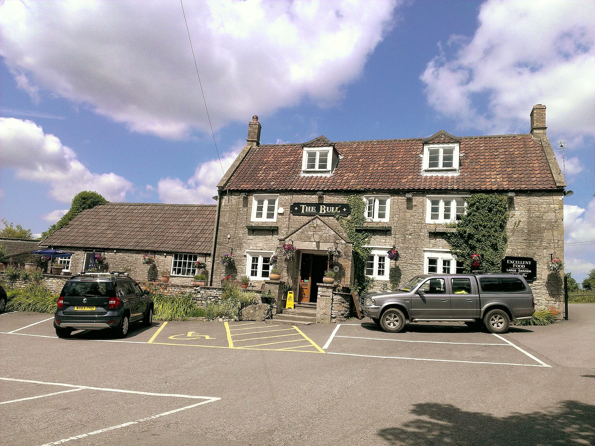
Start: Chipping Sodbury City centerChipping Sodbury: Cycling through the picturesque landscapes of Chipping Sodbury and exploring nearby Cotswolds
Chipping Sodbury, located in the Gloucestershire, Wiltshire and Bristol/Bath area of the United Kingdom, is surrounded by scenic countryside, making it a great destination for both road and gravel cyclists. The locality offers a range of mixed terrain routes, from peaceful country lanes to more challenging hills, allowing cyclists to enjoy varied rides. Chipping Sodbury also provides easy access to notable cycling spots like the Cotswolds and the stunning Severn Vale. Overall, Chipping Sodbury is a cyclist-friendly locality with diverse routes and beautiful surroundings.14 km
14 km
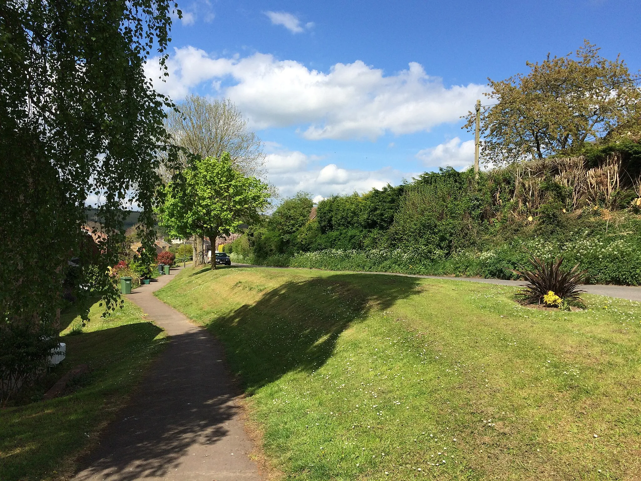
Wotton-under-EdgeTownWotton-under-Edge is a charming Cotswold town with historic buildings.
15 km
15 km
Coombe AlpacasViewpointCoombe Alpacas is a unique farm where you can interact with friendly alpacas.
26 km
26 km
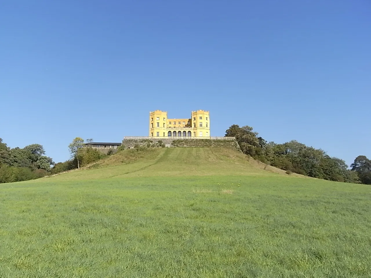
Coaley Peak231 mPeakCoaley Peak offers panoramic views over the surrounding countryside.
34 km
34 km
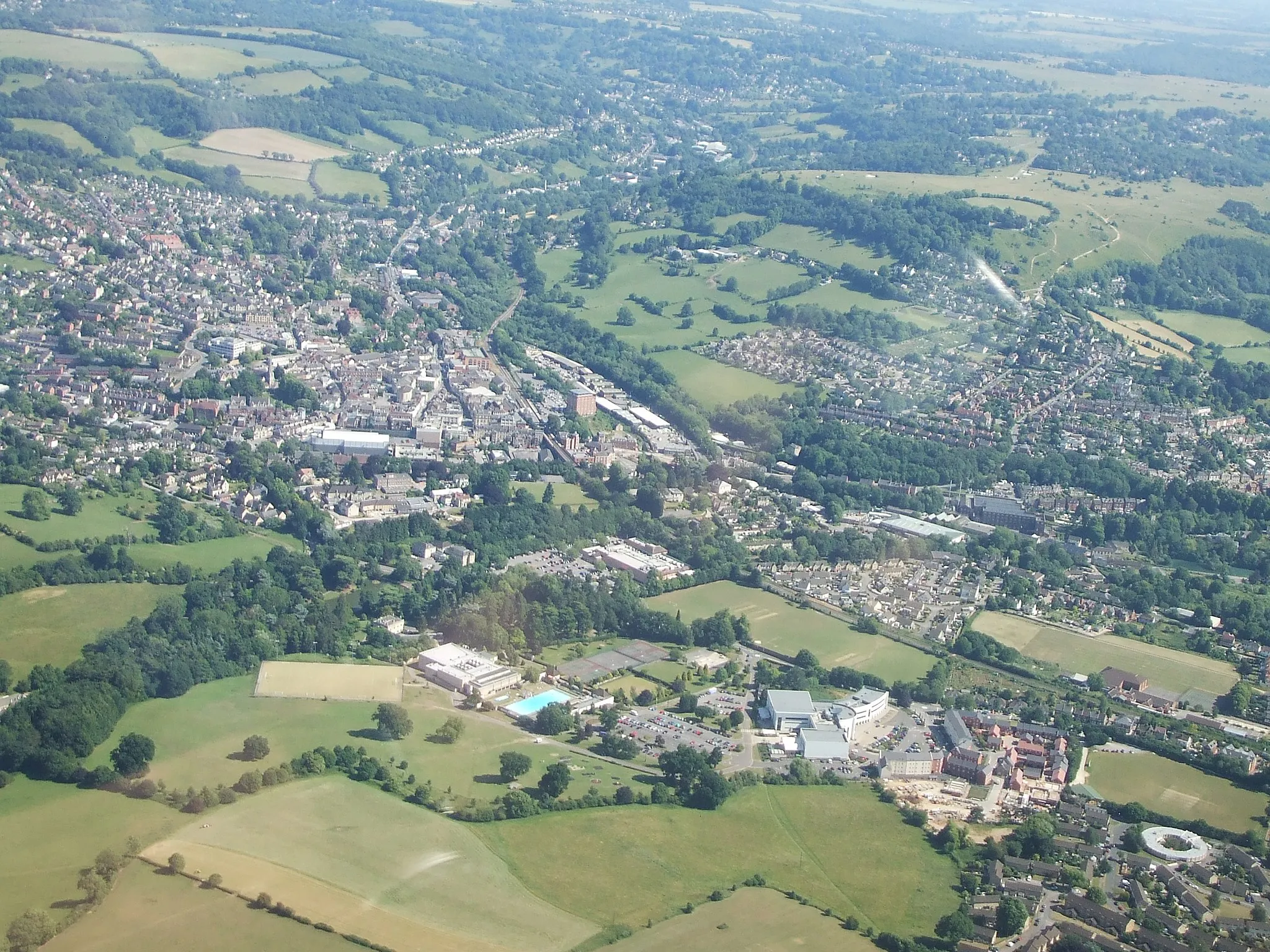
StroudTownStroud is a vibrant market town known for its picturesque canals and independent shops.
46 km
46 km
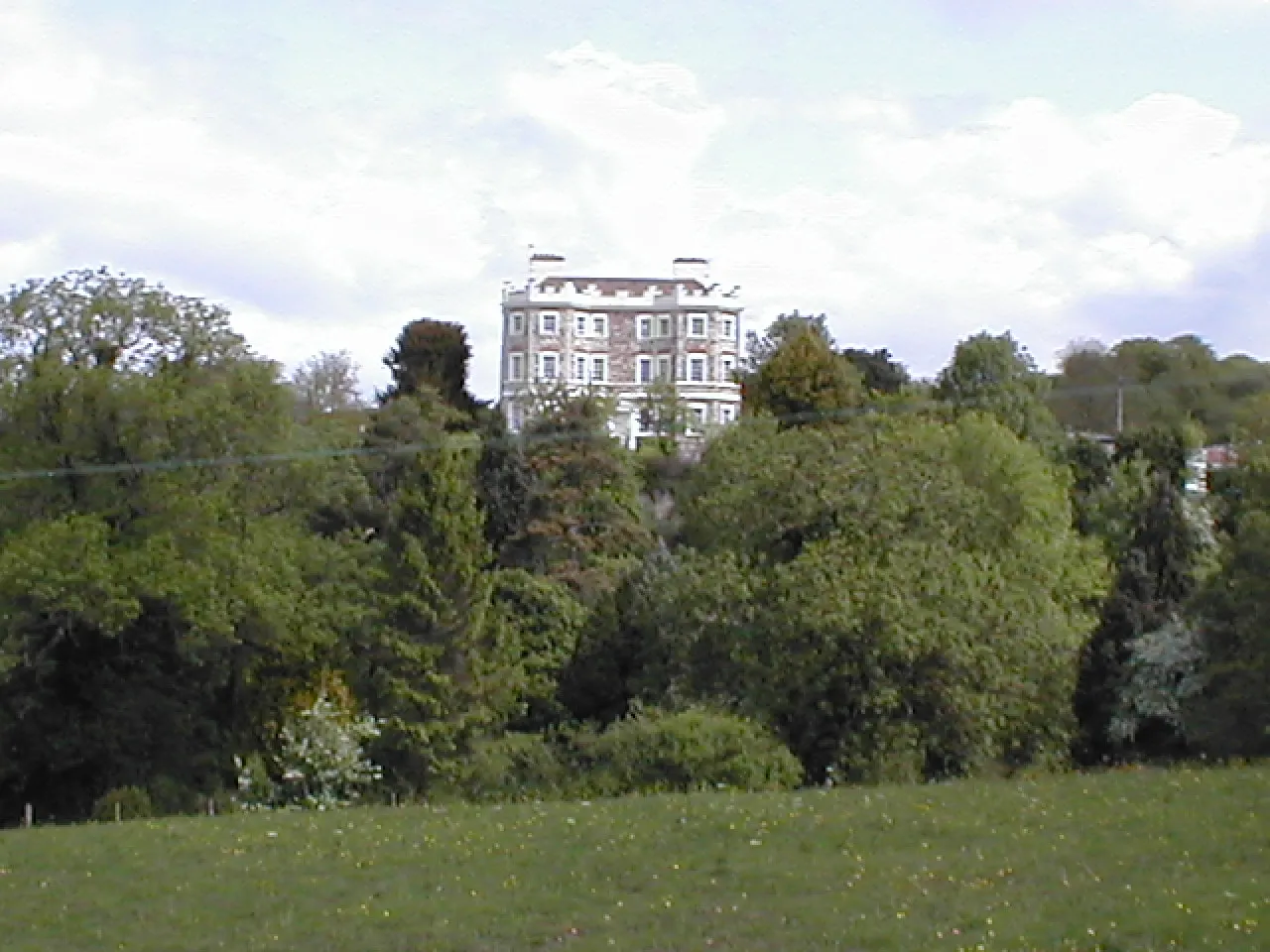
MiserdenVillageMiserden is a picturesque estate village with beautiful stone buildings.
55 km
55 km
Sapperton Hill200 mPeakSapperton Hill provides breathtaking views of the Cotswold Hills.
75 km
75 km
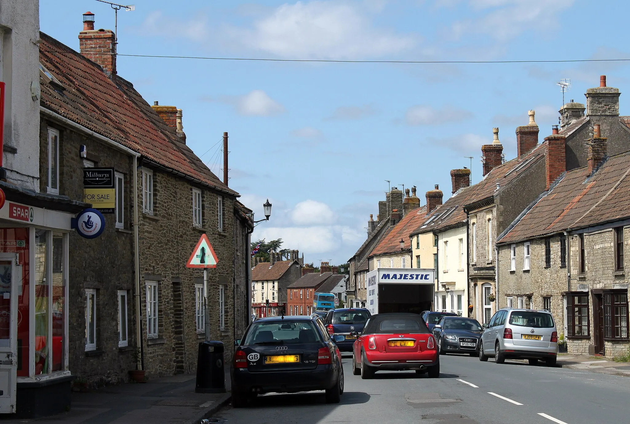
MalmesburyTownMalmesbury is a historic market town with stunning architecture and a beautiful abbey.
85 km
85 km
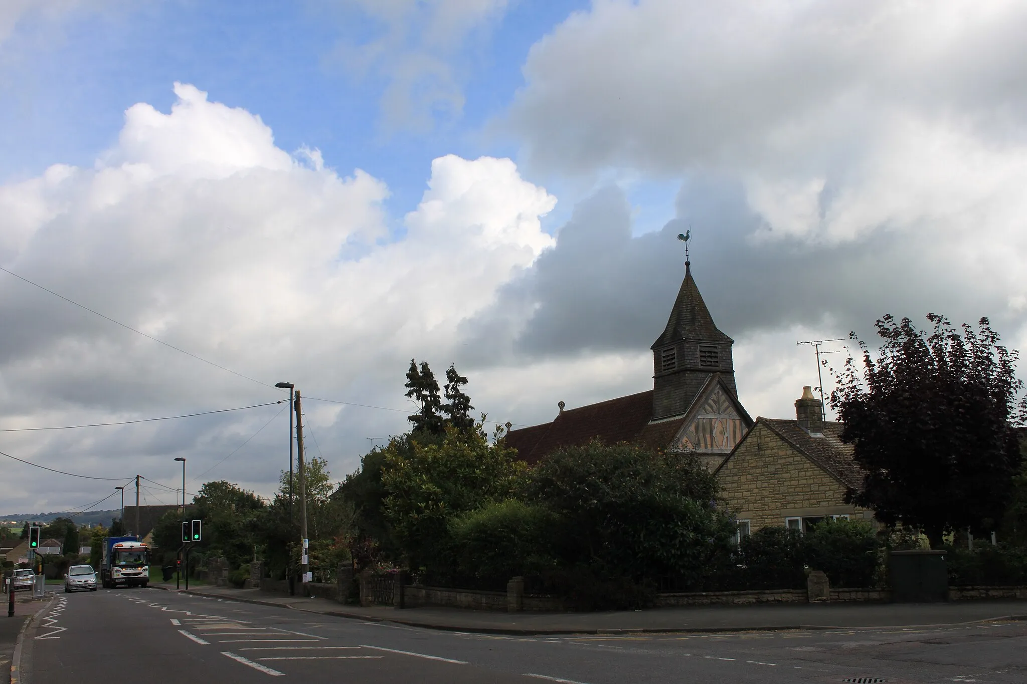
HullavingtonVillageHullavington is a traditional English village with a charming main street.
108 km
108 km
Chipping SodburyTownChipping Sodbury is a historic market town with a bustling high street and various amenities.
108 km
108 km
Finish: Chipping Sodbury City centerChipping Sodbury: Cycling through the picturesque landscapes of Chipping Sodbury and exploring nearby Cotswolds
Cycling routes from Chipping Sodbury:
Cotswold Loop Bristol and Bath Challenge Cotswold Countryside Ride Valley Adventure Exploring the Cotswold Trails Chipping Sodbury to Yate Loop via Pucklechurch Chipping Sodbury to Avebury Stone Circle Loop Chipping Sodbury to Rat Hill Loop Chipping Sodbury to Hullavington Loop Chipping Sodbury to Bath Loop Cotswold Loop
Cycling routes nearby: