Discovering the cycling gems of Midsomer Norton
Cycling routes from Midsomer Norton
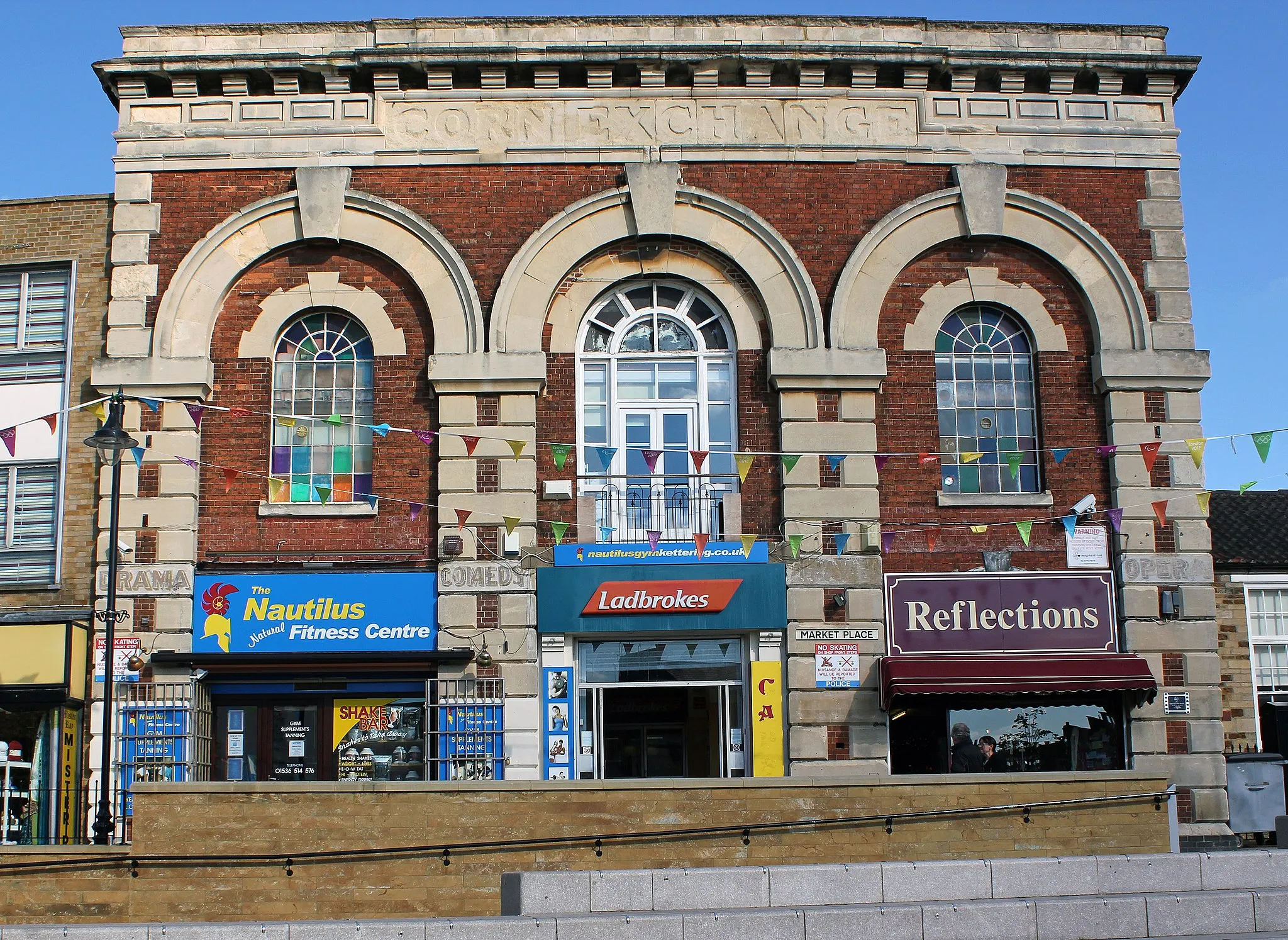
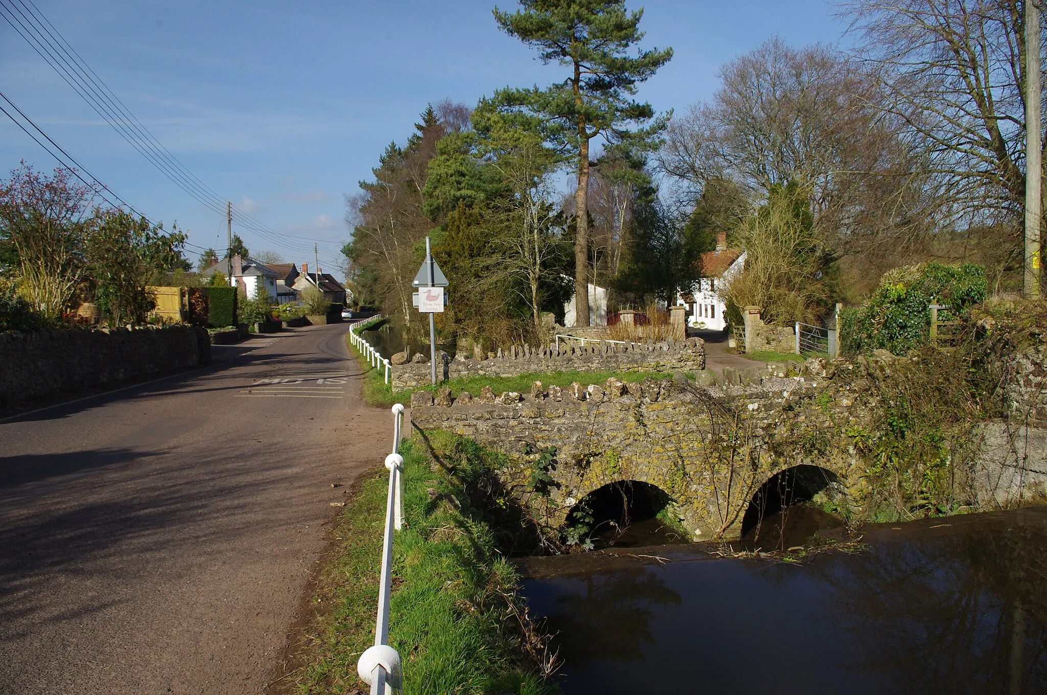
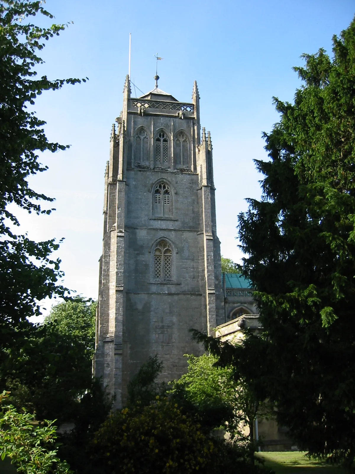
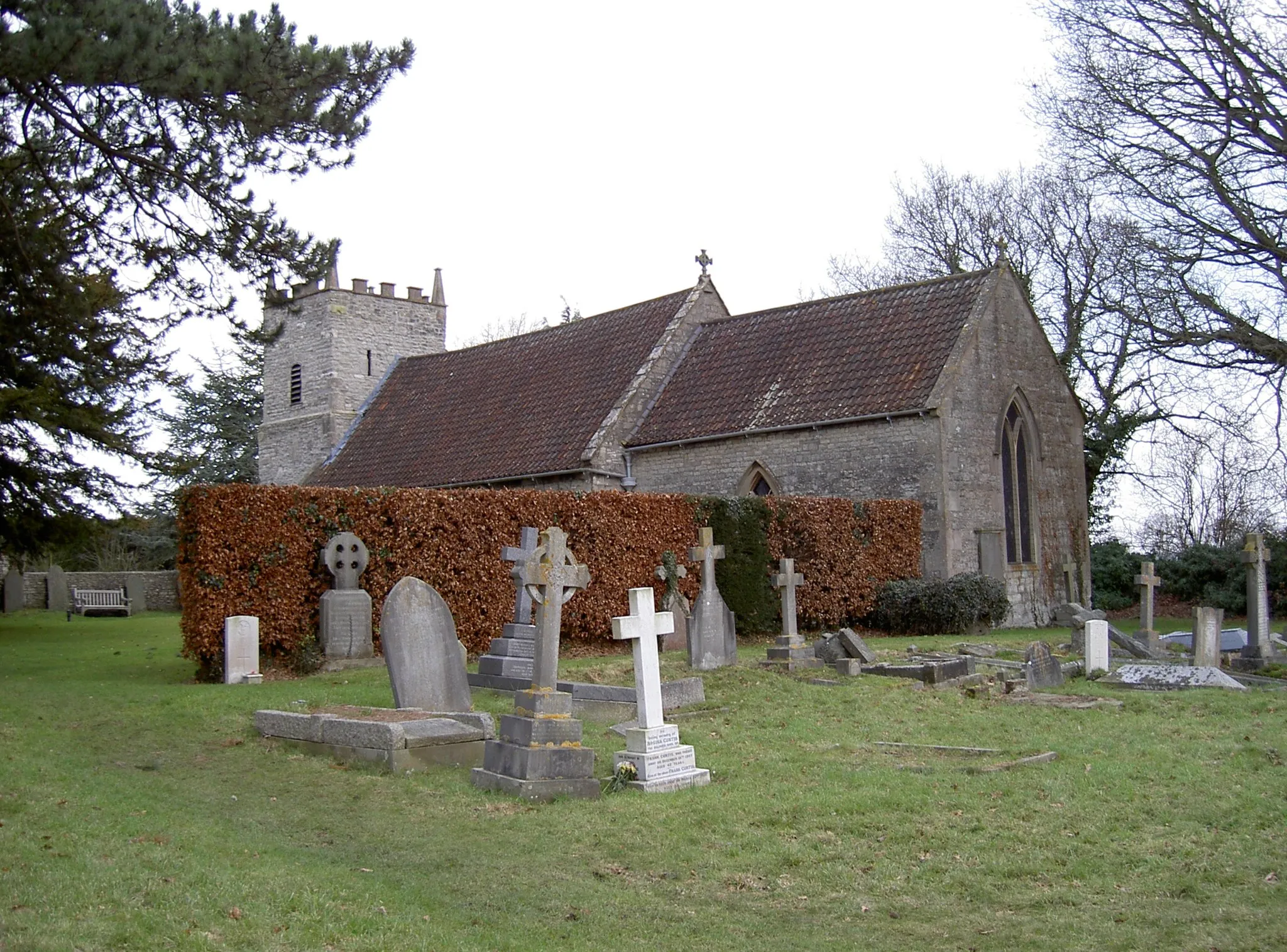
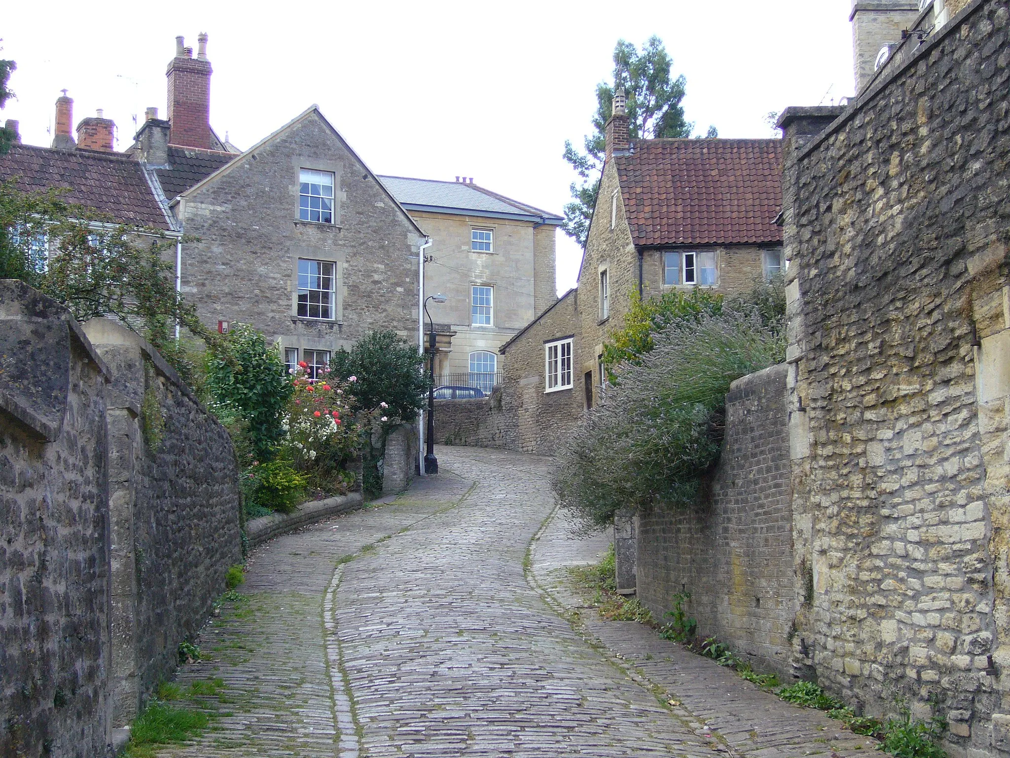
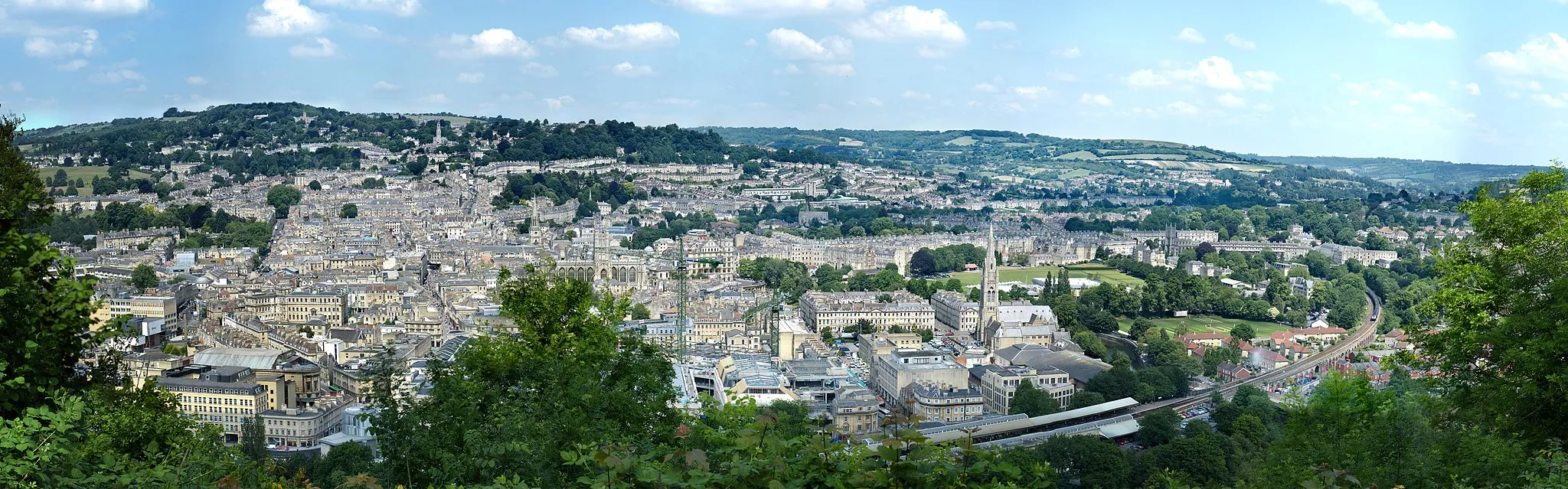
Midsomer Norton is also located in the Gloucestershire, Wiltshire and Bristol/Bath area in the United Kingdom, making it a great base for exploring the surrounding region. As a road and gravel cyclist, you'll find a mix of flat roads and challenging climbs in the area. The nearby town of Frome is a popular cycling destination, with its charming streets and an annual cycling festival. Overall, Midsomer Norton offers great cycling opportunities with its beautiful countryside and proximity to other cyclist-friendly towns.
Midsomer Norton Gravel Loop

A scenic gravel loop starting from Midsomer Norton
This gravel route takes you through beautiful countryside and charming villages, offering a mix of challenging climbs and fast descents. The route starts and finishes in Midsomer Norton, a historic town with plenty of facilities for cyclists. Along the way, you'll enjoy stunning views from Folly Hill and venture through the picturesque village of Bishop Sutton. With a moderate difficulty level and stunning landscapes, this loop is perfect for gravel enthusiasts and nature lovers alike.

Cycle from Midsomer Norton to Bath and enjoy the stunning views from Folly Hill.
This route takes you from Midsomer Norton to Bath and back, with a total distance of 112 km and an ascent of 671 m. The highlight of the route is the scenic viewpoint from Folly Hill, where you can enjoy panoramic views of the surrounding countryside.

Explore the scenic countryside from Midsomer Norton to Chapmanslade.
This road cycling route takes you through the picturesque countryside from Midsomer Norton to Chapmanslade and back, with a total distance of 89 km and an ascent of 936 m. The route showcases the natural beauty of the region and is perfect for cyclists looking for a scenic adventure.

Cycle from Midsomer Norton to Paulton and enjoy picturesque views from Folly Hill.
This road cycling route takes you from Midsomer Norton to Paulton, with a total distance of 58 km and an ascent of 684 m. The highlight of the route is the scenic viewpoint from Folly Hill, where you can admire panoramic views of the surrounding countryside.
Mendip Gravel Adventure

A thrilling gravel ride through the mesmerizing landscapes of the Mendip Hills
The Mendip Gravel Adventure is a thrilling off-road cycling route that showcases the natural beauty of the Mendip Hills and its surroundings. Stretching for 67 kilometers and with an ascent of 690 meters, this gravel route is perfect for adventure enthusiasts looking for a challenge. Starting near Midsomer Norton, the route takes you through Croscombe, Worminster Sleight, Glastonbury, and Westbury-sub-Mendip. Along the way, you'll encounter a mix of gravel paths, bridleways, and scenic trails. Highlights of this route include a viewing platform overlooking the stunning landscape, Knowle Hill with its panoramic views, and the quaint village of Ston Easton. The Mendip Gravel Adventure promises breathtaking scenery and a thrilling off-road experience.

An exhilarating journey through picturesque countryside and charming villages
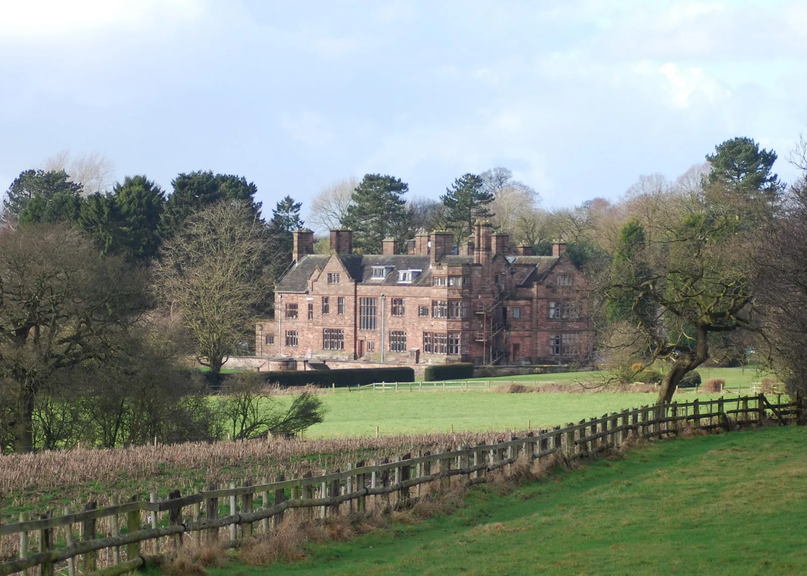
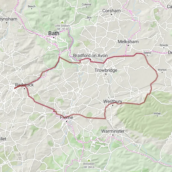
The Chew Valley Epic Loop is a challenging road cycling route that takes you on a scenic adventure through Gloucestershire, Wiltshire, and the Bristol/Bath area. With a total distance of 104 kilometers and an ascent of 1158 meters, this route is suitable for well-trained amateurs. The loop starts near Midsomer Norton and passes through Farmborough, Chewton Keynsham, Chipping Sodbury, Castle Combe, Bradford on Avon, and Buckland Dinham before returning to the starting point. Along the way, you'll encounter a variety of terrain, including rolling hills and some steep climbs. The highlights of this route include the historic town of Bradford on Avon and the iconic Castle Combe circuit. Overall, the Chew Valley Epic Loop offers stunning views, challenging climbs, and a chance to explore the rich history and natural beauty of the region.

Embark on a scenic loop from Midsomer Norton with stunning views along the way.
This road cycling route takes you on a scenic loop from Midsomer Norton, covering a distance of 57 km with an ascent of 850 m. The route offers picturesque views and is ideal for cyclists who enjoy a mix of challenging climbs and beautiful scenery.
Woodford Hill Loop

A scenic road cycling route with challenging hills and rewarding vistas
The Woodford Hill Loop is a road cycling route that showcases the scenic beauty of Gloucestershire, Wiltshire, and the Bristol/Bath area. With a total distance of 73 kilometers and an ascent of 879 meters, this route is suitable for experienced amateur cyclists. Starting near Midsomer Norton, you'll pass through Folly Hill, Chew Stoke, Brandon Hill in Bristol, Bitton, and Camerton before returning to the starting point. This route offers a variety of terrain, including challenging hills and rewarding descents. Highlights along the way include stunning views from Woodford Hill, the vibrant city of Bristol, and the picturesque village of Camerton. The Woodford Hill Loop promises a memorable cycling experience surrounded by breathtaking scenery.
Embark on a thrilling gravel adventure from Midsomer Norton to Radstock.
This off-road gravel route takes you from Midsomer Norton to Radstock and back, covering a distance of 83 km with an ascent of 850 m. The route is perfect for gravel enthusiasts looking for an adventurous cycling experience.
Avon Valley Loop

An adventurous road cycling route through diverse landscapes and notable landmarks
The Avon Valley Loop is an adventurous road cycling route that takes you on a journey through diverse landscapes and significant landmarks in Gloucestershire, Wiltshire, and the Bristol/Bath area. With a total distance of 109 kilometers and an ascent of 1038 meters, this route is suitable for experienced cyclists seeking a challenge. Starting near Midsomer Norton, the loop includes highlights such as Folly Hill, East Harptree, Hartcliff Rocks, Barrow Gurney, Avonmouth, Olveston, Siston, Bitton, Paulton, and Welton Hill. Along the way, you'll encounter rolling hills, stunning river views, and iconic landmarks. Highlights of this route include the dramatic cliffs of Hartcliff Rocks, the bustling Avonmouth Port, and the charming village of Olveston. The Avon Valley Loop guarantees an exciting and unforgettable cycling experience.
Cycling routes nearby:


Nearby regions: