Immerse yourself in the stunning landscapes and iconic cycling routes surrounding Paulton.
Cycling routes from Paulton
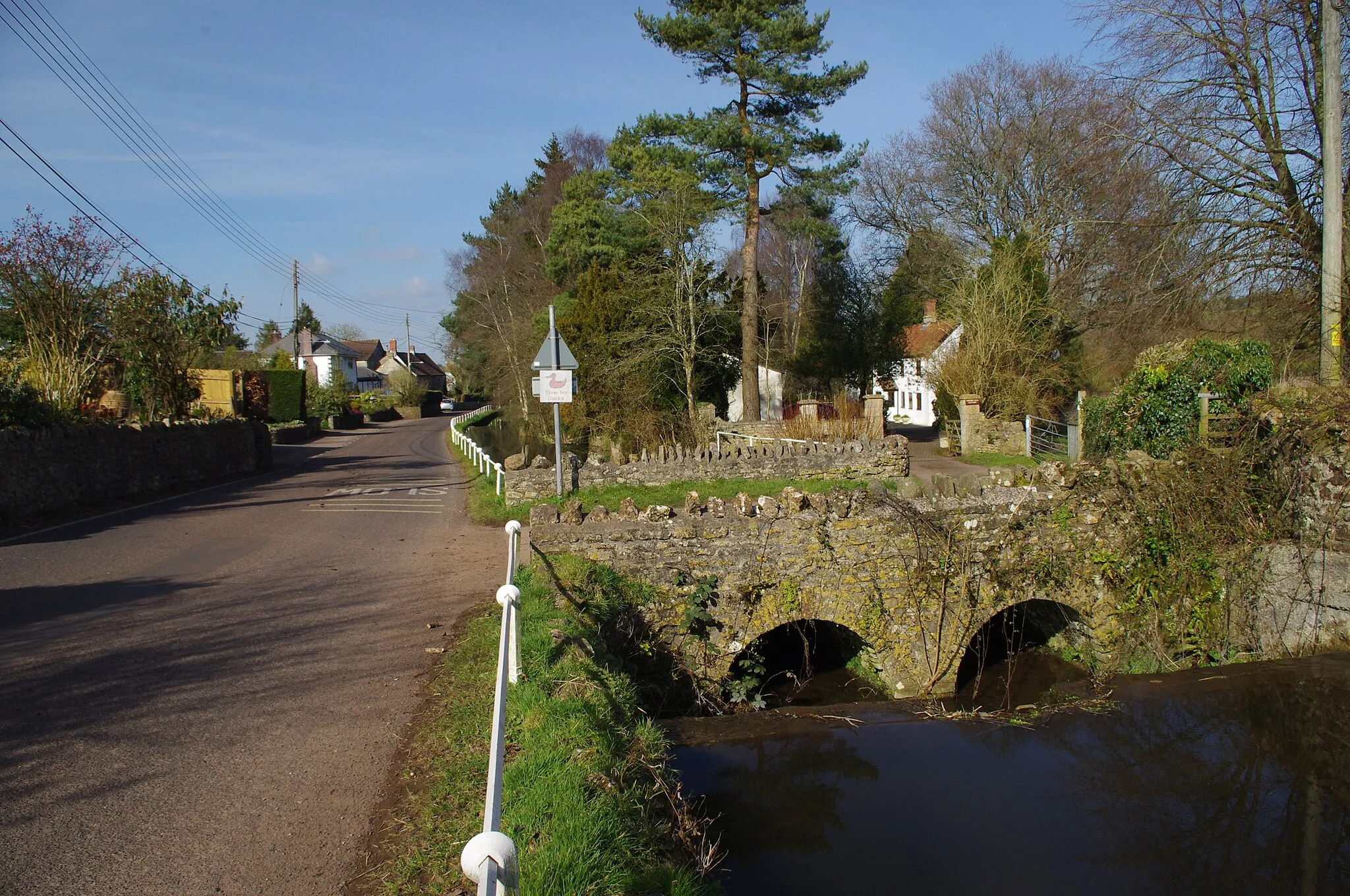
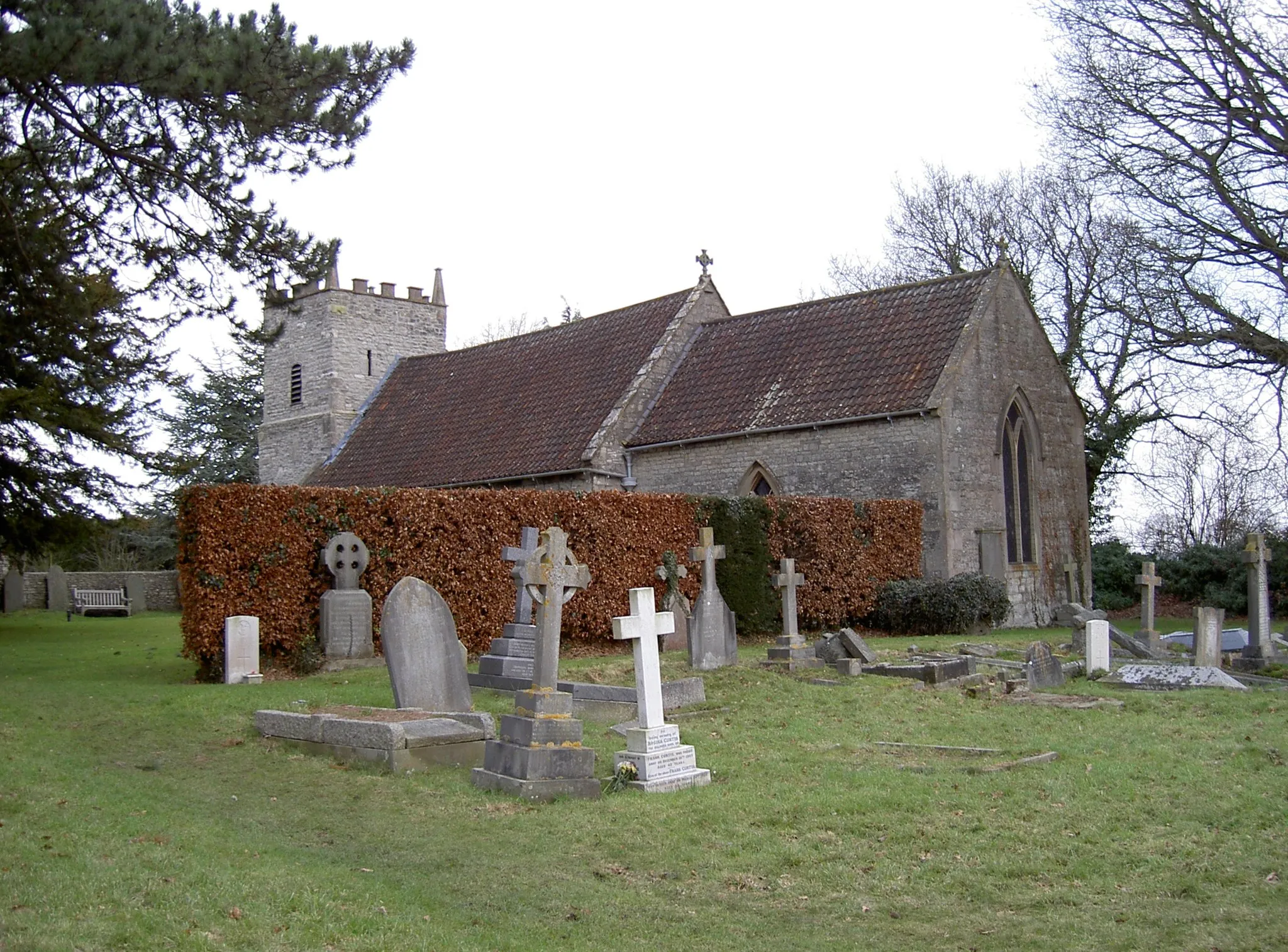
Paulton is a charming locality situated within the Gloucestershire, Wiltshire, and Bristol/Bath area of the United Kingdom. For road and gravel cyclists, Paulton offers a mix of tranquil country lanes and scenic off-road trails. The locality is surrounded by idyllic countryside, including the Mendip Hills Area of Outstanding Natural Beauty. Cyclists can explore the renowned Cheddar Gorge or tackle the challenging climb up Burrington Combe. Paulton serves as an excellent base for cycling enthusiasts looking to explore the captivating landscapes and iconic cycling destinations in the surrounding area.

Embark on a challenging road cycling adventure through the rolling hills of Somerset
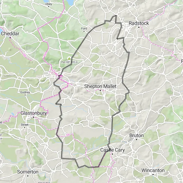
The Hills of Somerset is a thrilling road cycling route that covers a distance of 122 km with a challenging ascent of 1549 meters. This route is recommended for experienced cyclists who enjoy conquering steep climbs and breathtaking descents. Highlights along the route include Duncorn Hill, which offers panoramic views of the Somerset countryside, and Cley Hill, known for its mystical atmosphere and captivating beauty. Another noteworthy highlight is Semley Hill, famous for its challenging gradients and rewarding views at the summit.
Paulton Road Adventure
Discover the scenic road cycling routes near Paulton
Embark on an exciting road cycling adventure near Paulton with this route. With a moderate ascent of 724 meters and a distance of 79 kilometers, you'll have the opportunity to enjoy the beautiful countryside, charming villages, and stunning vistas along the way.
Gravel Adventure

Embark on a thrilling gravel cycling adventure in the Gloucestershire and Wiltshire countryside
Experience the thrill of off-road cycling on this 69 km gravel route near Paulton. With an ascent of 639 m, this route is suitable for cyclists looking for a moderate challenge and the opportunity to explore scenic landscapes. Highlights along the route include Folly Hill, Binegar, Wells, Glastonbury Abbey, Viewing Platform 2, Meare, Knowle Hill, Niver North Top, and Litton. These highlights offer a mix of natural beauty, historical landmarks, and unique features that showcase the region's charm and provide memorable experiences for gravel cyclists.
Paulton and Beyond

Discover the charming countryside around Paulton on this road cycling route
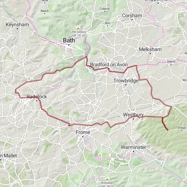
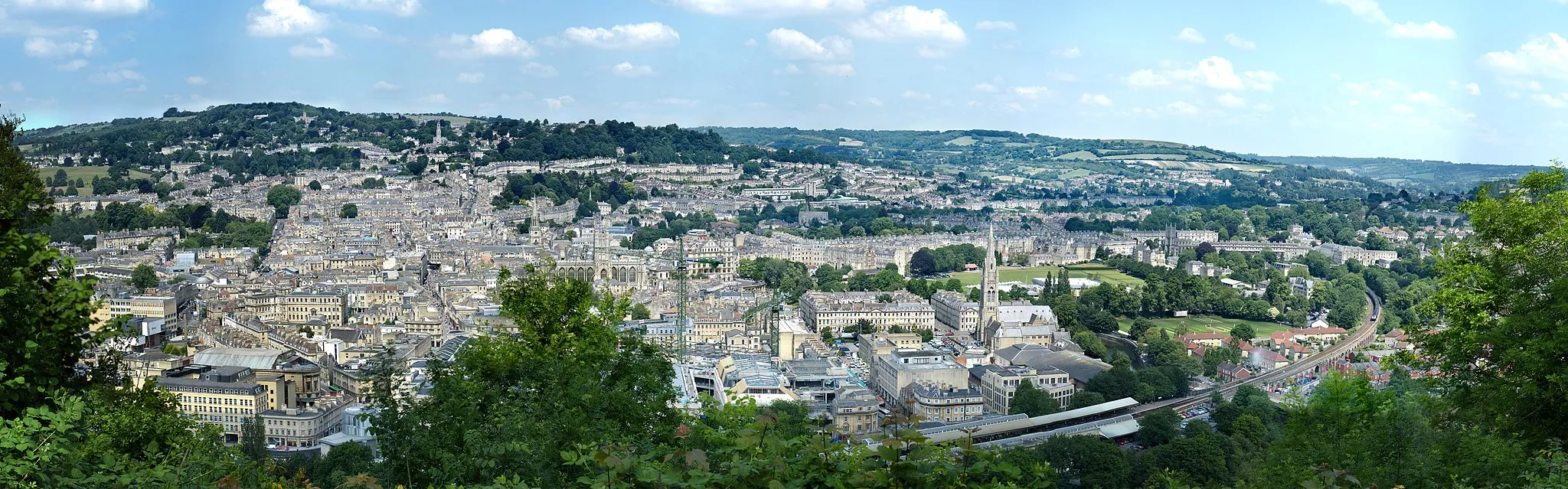
This route takes you on a scenic journey through the Gloucestershire, Wiltshire, and Bristol/Bath area. With a total distance of 84 km and an ascent of 975 m, it offers a challenging yet rewarding experience for well-trained amateur cyclists. The highlights of the route include Duncorn Hill, Bath, Common Hill, Biddestone, Bradford on Avon, Radstock, and Welton Hill. These landmarks offer breathtaking views, historical sites, and unique landmarks that make this route truly memorable.

Embark on an epic road cycling adventure near Paulton
Prepare for an exhilarating road cycling experience near Paulton. This challenging route features a steep ascent of 1012 meters and covers a distance of 79 kilometers. Enjoy the scenic beauty and historical landmarks as you ride through picturesque villages, scenic countryside, and iconic hills.

Experience the scenic beauty of the Gloucestershire and Wiltshire countryside on this road cycling route
Embark on a 90 km road cycling adventure that takes you through the picturesque landscapes near Paulton. With climbs totaling 1138 m, this route is suited for well-trained amateur cyclists seeking a challenging yet rewarding experience. Highlights along the route include The Sleight, Radstock, Newbury Hill, Great Elm, Trudoxhill, Shepton Montague, Lodge Hill Viewpoint, Worminster Sleight, Croscombe, and Farrington Gurney. These attractions offer a mix of natural beauty, historical sites, and stunning vistas that showcase the region's charm.
Embark on an epic gravel adventure through the captivating landscapes of Wiltshire
The Wiltshire Gravel Adventure is a challenging 88 km off-road cycling route that immerses riders in the diverse scenery of Wiltshire. With an ascent of 817 meters, this route is suitable for experienced cyclists seeking a thrilling off-road adventure. Highlights along the route include Timsbury, an enchanting village known for its traditional Cotswold stone buildings, and Steeple Ashton, from where you can enjoy stunning views of the surrounding countryside. The most iconic highlight of this route is the White Horse, an ancient hill figure sculpted into the side of a steep slope.
Experience the historical town of Midsomer Norton on this scenic cycling route
The Midsomer Norton Loop is a picturesque cycling route that takes you through the charming town of Midsomer Norton. With a distance of 42 km and an ascent of 572 meters, this road route is suitable for amateur cyclists looking to explore the scenic countryside. The route offers stunning views of Farrington Gurney and Croscombe, making it a perfect option for a day trip.

Embark on an off-road exploration near Paulton with the Binegar Escape gravel route
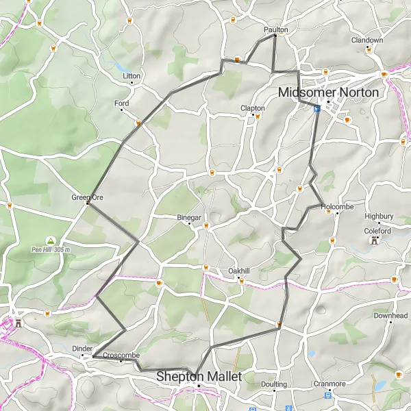
Cyclists seeking a unique off-road experience will enjoy the Binegar Escape gravel route. Measuring 43 km with an ascent of 727 m, this compact route offers a diverse mix of natural beauty and rural charm. Highlights along the route include Binegar, Wells, Niver North Top, Hinton Blewett, and Nap Hill. Whether it's exploring historic landmarks, enjoying picturesque scenery, or tackling challenging terrain, this route delivers a memorable gravel cycling adventure.
Scenic Road Loop

Get ready for a scenic road loop through the countryside near Paulton
The Scenic Road Loop offers a delightful cycling experience through the beautiful countryside near Paulton. Stretching across 70 km with an ascent of 715 meters, this road route is suitable for both amateur and experienced cyclists. Highlights along the route include Priston, a charming village with traditional architecture, and Bradford on Avon, famous for its stunning canal views and medieval bridge. The route also takes you to Chapmanslade, where you can enjoy picturesque landscapes and tranquil surroundings. Don't miss the opportunity to conquer Newbury Hill and take in the breathtaking panoramic views from the top.
Cycling routes nearby:


Nearby regions: