The Peak District Grand Tour
A road cycling route starting from Diggle
Explore the stunning scenery and challenging climbs of the Peak District.
Map
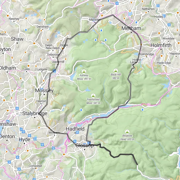
The Peak District Grand Tour is a challenging yet rewarding cycling route that takes you through some of the most stunning scenery in the UK. With a total ascent of 1637m and a distance of 75km, this road route will push your endurance and cycling skills to the limit. Highlights along the route include Meltham, Britland Edge Hill, Old Glossop, Featherbed Top, Glossop, Mossley, and Wharmton.
road
75 km
1637 m
Tough
Route profile
Highlights on the route
0 km
0 km
Start: Diggle Village centerDiggle: Cyclist's paradise surrounded by Peak District National Park in Greater Manchester, UK.
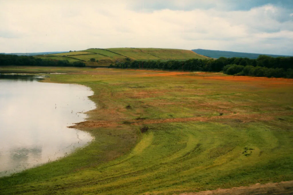
Diggle, situated in Greater Manchester, United Kingdom, is a popular locality for road and gravel cyclists. Surrounded by the stunning Peak District National Park, Diggle offers a myriad of scenic routes and challenging climbs. One of the standout cycling spots is the iconic Saddleworth Moor, which provides breathtaking panoramic views and an exciting ride. With its proximity to the Peak District, Diggle is a haven for cyclists looking for both exhilarating climbs and picturesque landscapes.12 km
12 km
MelthamTownMeltham is a picturesque village known for its charming houses and scenic views of the surrounding countryside.
22 km
22 km
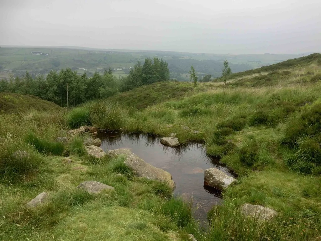
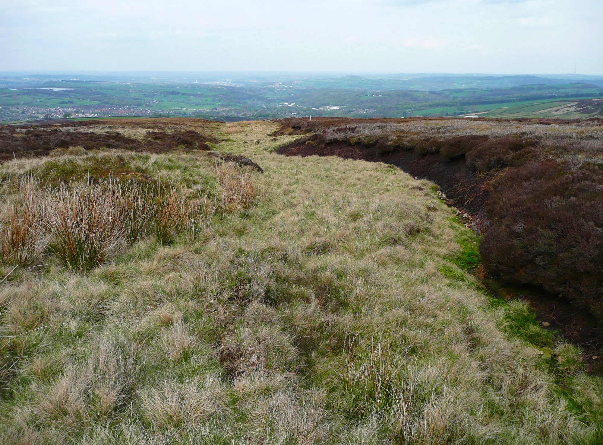
Britland Edge Hill523 mPeakBritland Edge Hill offers panoramic views of the Peak District and is a great spot for a rest and photo opportunity.
35 km
35 km
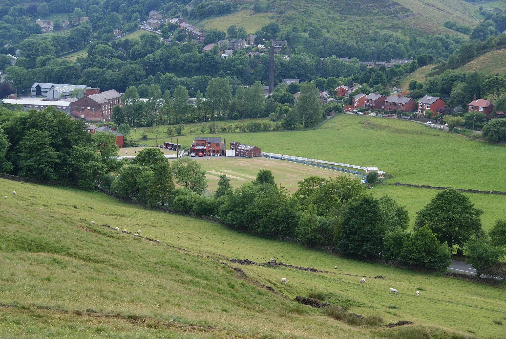
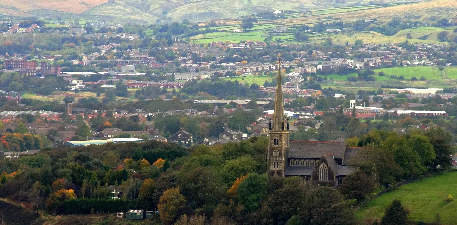
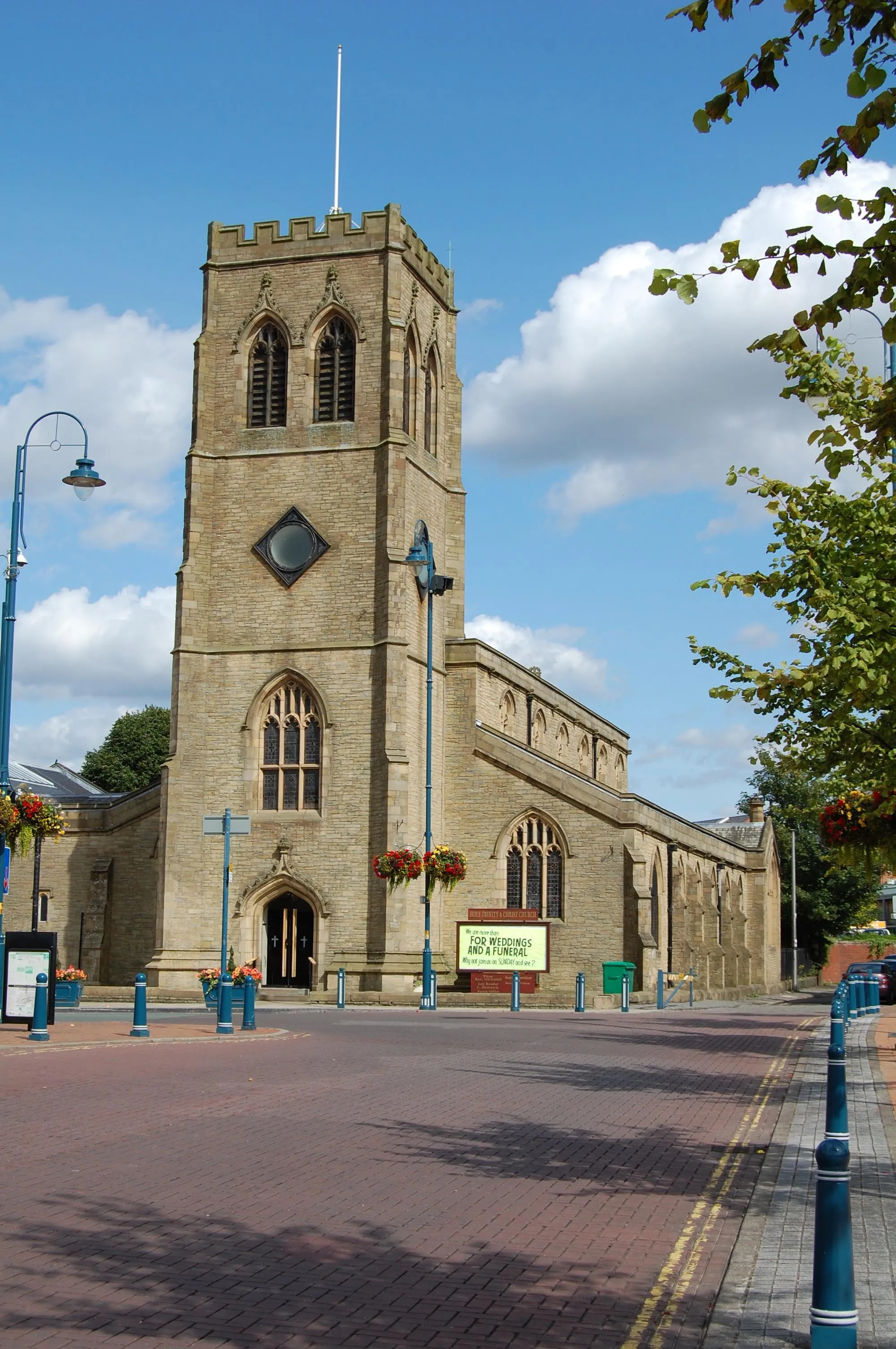
Old GlossopSub-urbOld Glossop is a historic village with cobbled streets and traditional stone cottages, perfect for a pit stop.
48 km
48 km
Featherbed Top544 mPeakFeatherbed Top is a challenging climb known for its jagged rocks and stunning views from the top.
55 km
55 km
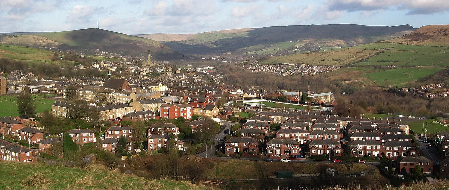
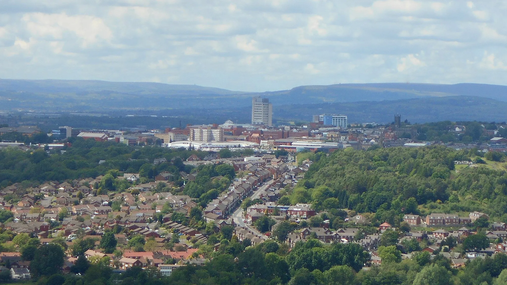
GlossopTownGlossop is a charming town with a rich industrial history, located at the foot of the Peak District.
68 km
68 km
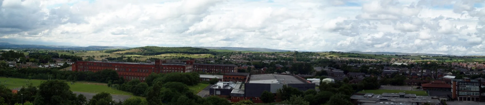
MossleyTownMossley is a vibrant town known for its bustling market and picturesque canal.
71 km
71 km
Wharmton348 mPeakWharmton is a hidden gem with beautiful countryside views and a tranquil atmosphere.
75 km
75 km
Finish: Diggle Village centerDiggle: Cyclist's paradise surrounded by Peak District National Park in Greater Manchester, UK.
Cycling routes from Diggle:
The Pennine Road Challenge Gravel Adventure in the Pennines The Meltham Gravel Loop The Huddersfield Hill Challenge The Peak District Grand Tour Lancashire Hills and Valleys Scenic Ride through Manchester and Suburbs The Huddersfield Gravel Adventure The Pennines Gravel Adventure The Greater Manchester Gravel Adventure
Cycling routes nearby: