Kent Gravel Loop
A gravel cycling route starting from Wateringbury
Immerse yourself in the beautiful landscapes of Kent on this challenging gravel loop near Wateringbury.
Map
Embark on a challenging 56-kilometer gravel loop near Wateringbury, Kent. With an ascent of 880 meters, this route offers scenic variety and a great test of skill for experienced gravel riders.
gravel
56 km
880 m
Savage
Route profile
Highlights on the route
0 km
0 km
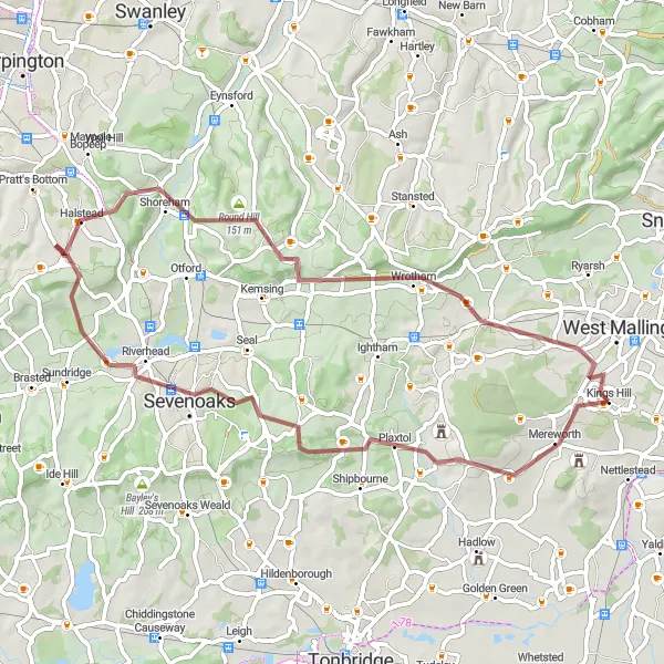
Start: Kings Hill Village centerWateringbury: Scenic rides through picturesque Kent countryside
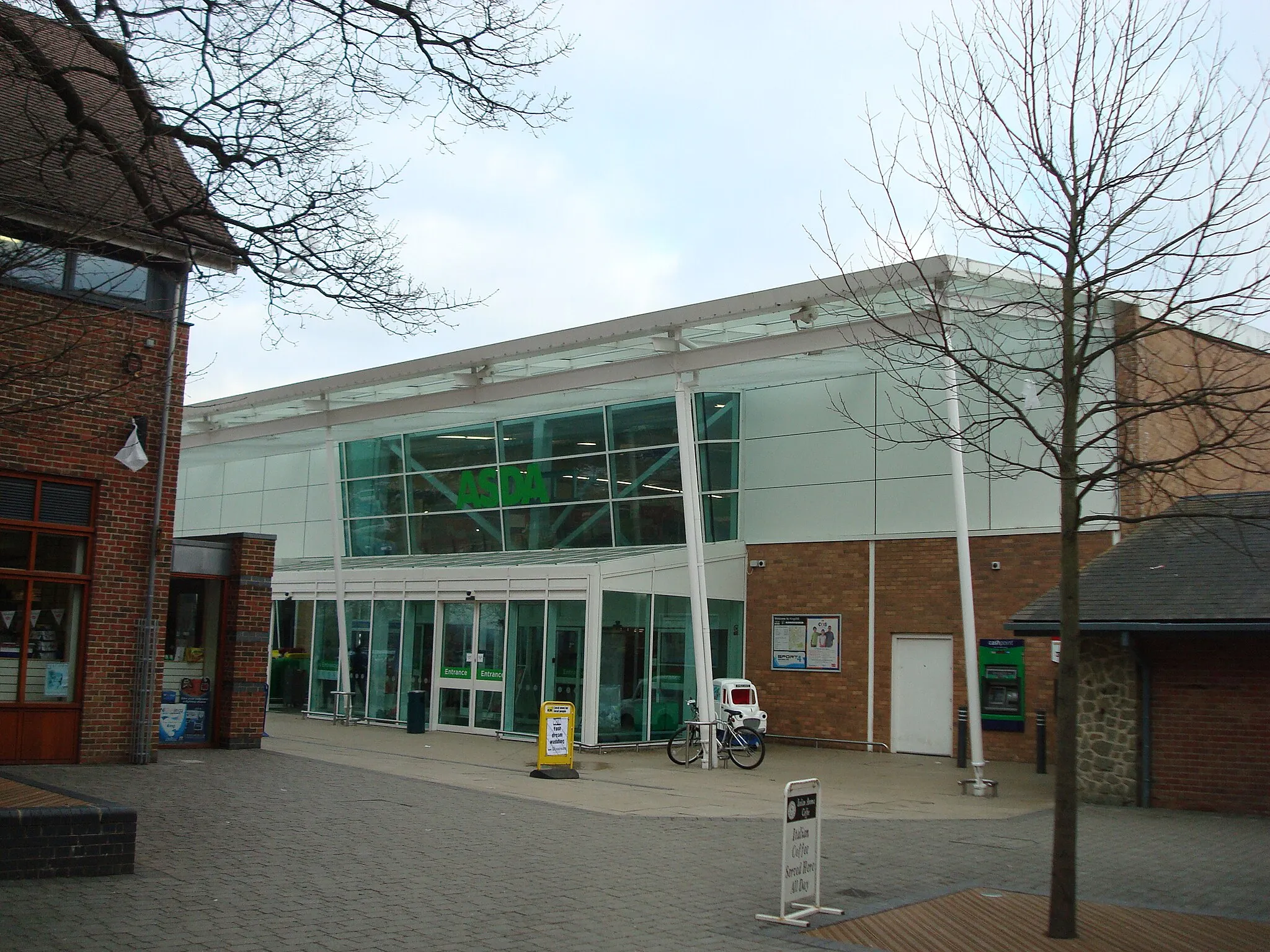
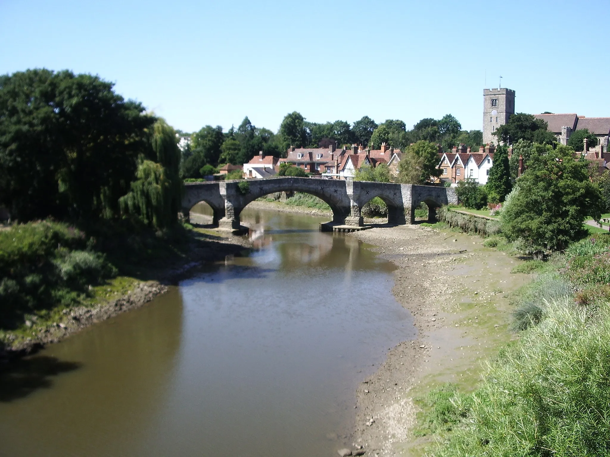
Wateringbury is a charming locality located in Kent, United Kingdom. As a road and gravel cyclist, Wateringbury offers a mix of gentle country lanes and challenging climbs. The region is known for its beautiful countryside and historical landmarks, with many cycling routes passing through scenic villages and rolling hills. One well-known spot for cyclists in the area is the Bluebell Hill, offering a challenging but rewarding ascent with panoramic views of the surrounding landscape. With its peaceful surroundings and cyclist-friendly routes, Wateringbury is an ideal destination for both leisurely rides and more intense cycling adventures.0 km
0 km
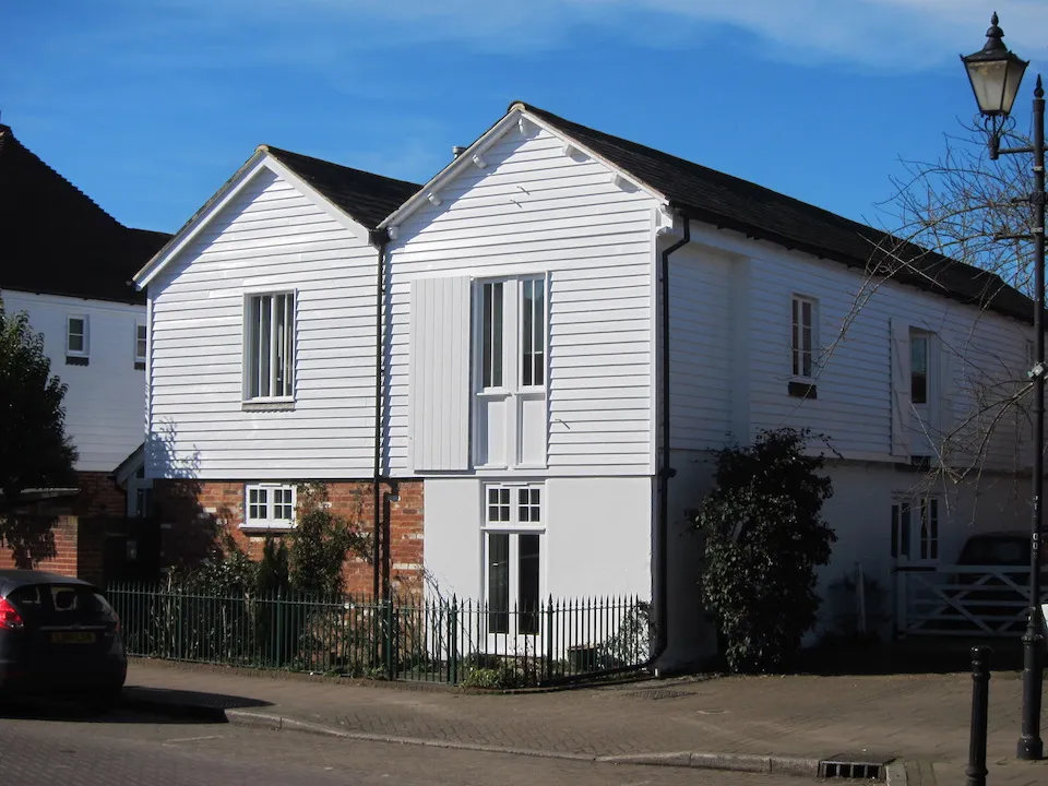
Kings HillVillageStarting at Kings Hill, riders will be greeted by charming countryside scenery on their gravel adventure through Kent.
18 km
18 km
Knole HouseAttractionAt the 18-kilometer mark, take a break at Knole House, a magnificent stately home surrounded by fascinating history and pristine gardens.
35 km
35 km
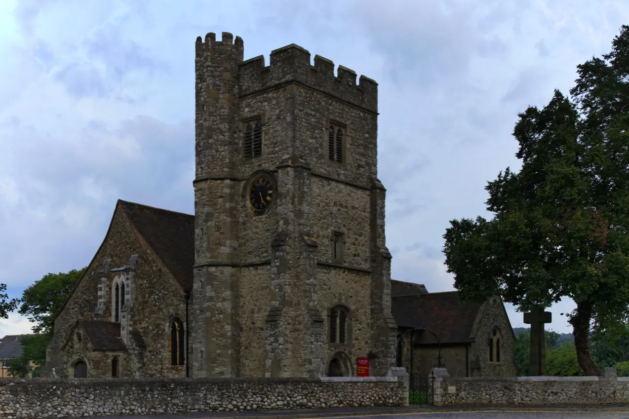
ShorehamVillageExperience the beauty of Shoreham as you cycle through this picturesque village known for its rich tapestry of historic buildings and natural landscapes. Located at the 35-kilometer mark.
38 km
38 km
Round Hill151 mPeakArriving at Round Hill at the 38-kilometer mark, enjoy the panoramic views over the lush surrounding countryside.
46 km
46 km
WrothamVillageAs you approach Wrotham at the 46-kilometer mark, appreciate its charming mix of rustic cottages and welcoming atmosphere.
53 km
53 km
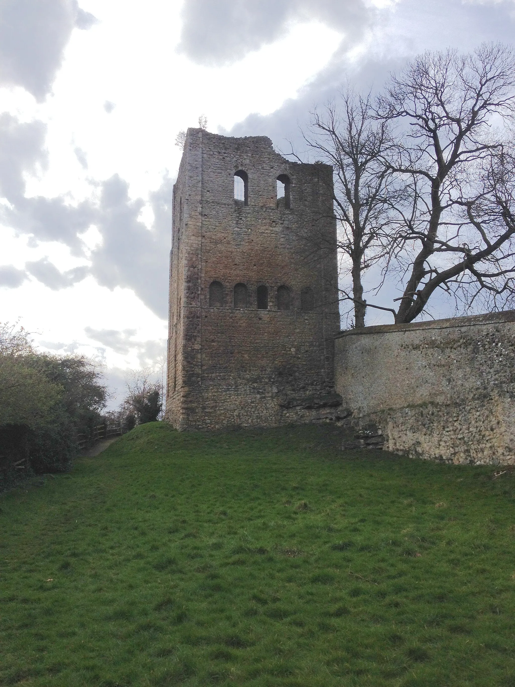
St Leonard's TowerCastle RuinsEncounter the historic St Leonard's Tower at the 53-kilometer mark, marveling at its medieval architecture and fascinating stories.
56 km
56 km
Finish: Kings Hill Village centerWateringbury: Scenic rides through picturesque Kent countryside
Cycling routes nearby: