The Pennine Hills Challenge
A road cycling route starting from Bacup
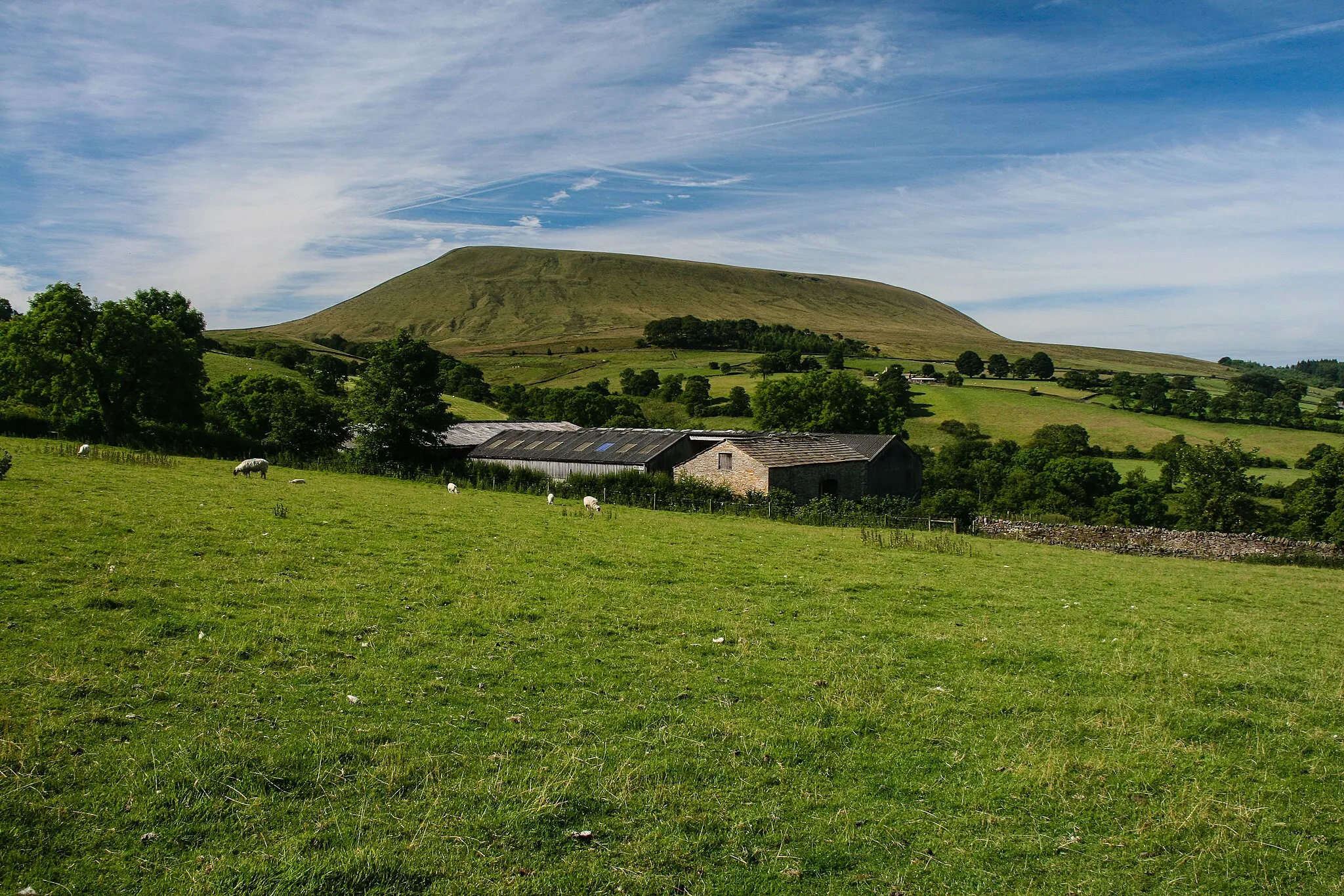
Experience the beauty and elevation of the Pennine Hills on this epic road cycling route
Map

The Pennine Hills Challenge is a demanding road cycling route that covers approximately 96 kilometers and includes over 2,000 meters of ascent. Starting near Bacup, Lancashire, this route takes cyclists through a variety of stunning landscapes, picturesque villages, and challenging climbs. With highlights including the famous Thieveley Pike and Burnley, the Pennine Hills Challenge is a must for experienced cyclists seeking a thrilling and scenic ride in the United Kingdom.
road
96 km
2019 m
Tough
Route profile
Highlights on the route
0 km
0 km
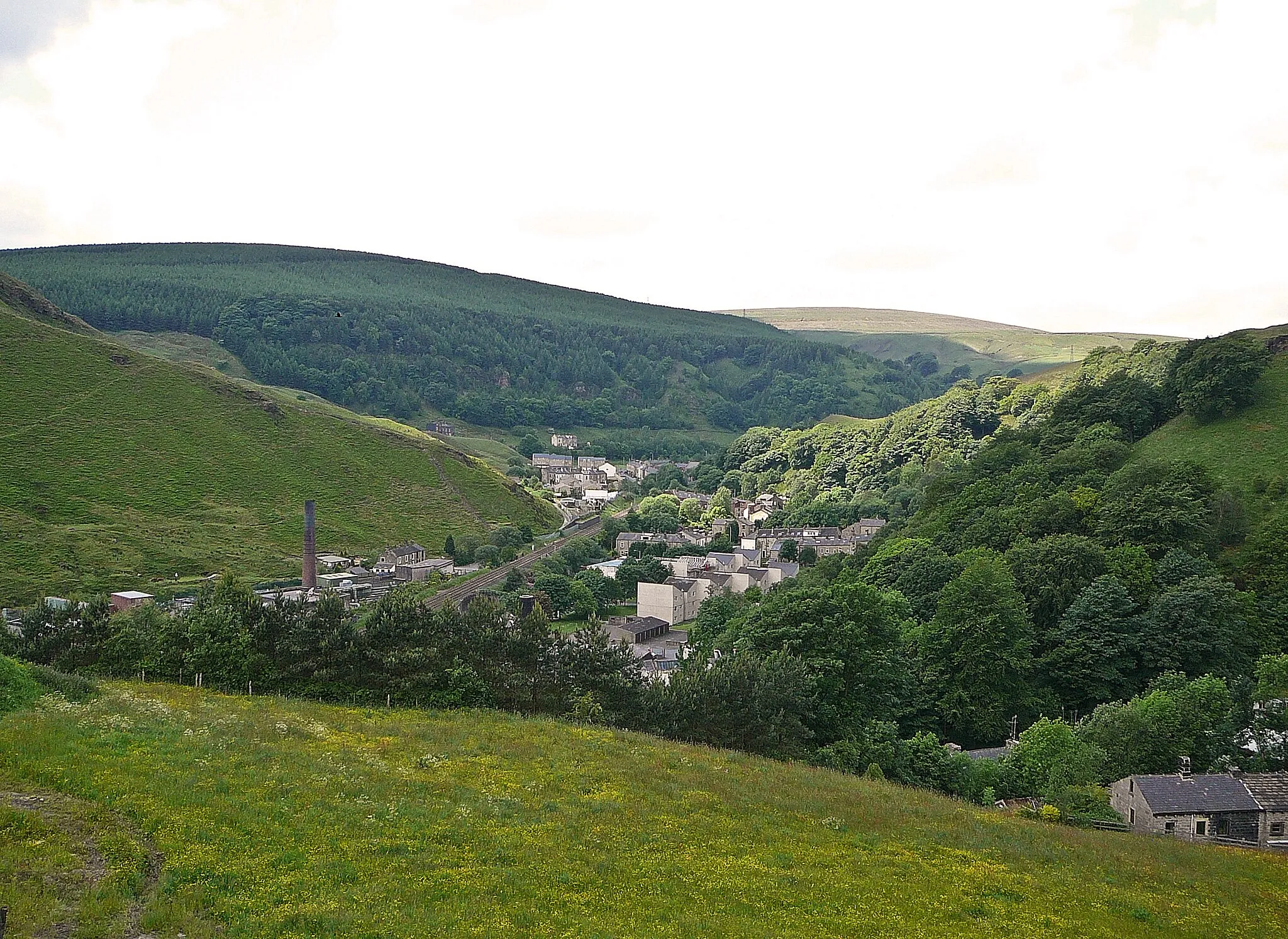
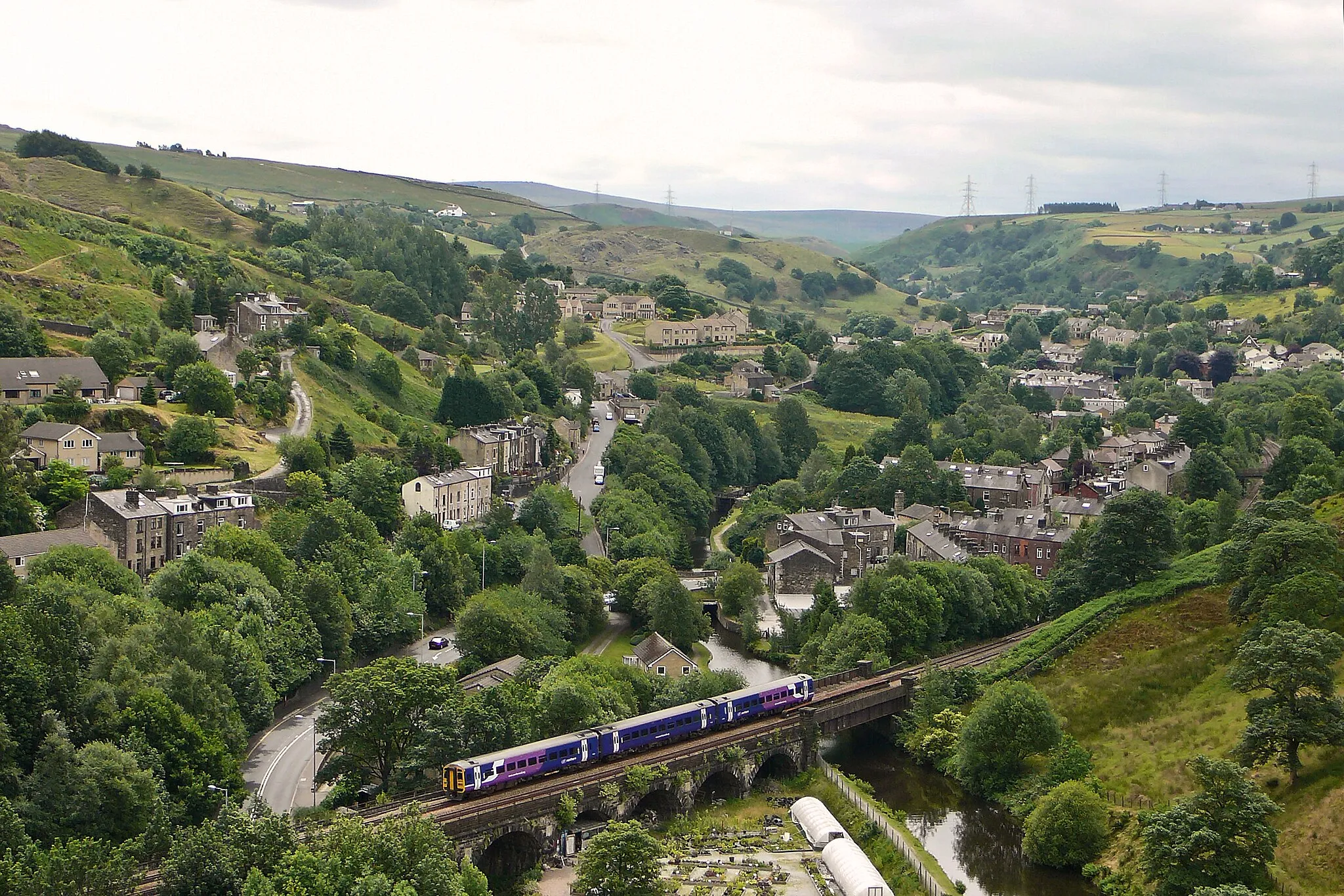
Start: Bacup City centerBacup: Conquering the famous Blackstone Edge climb in Bacup.
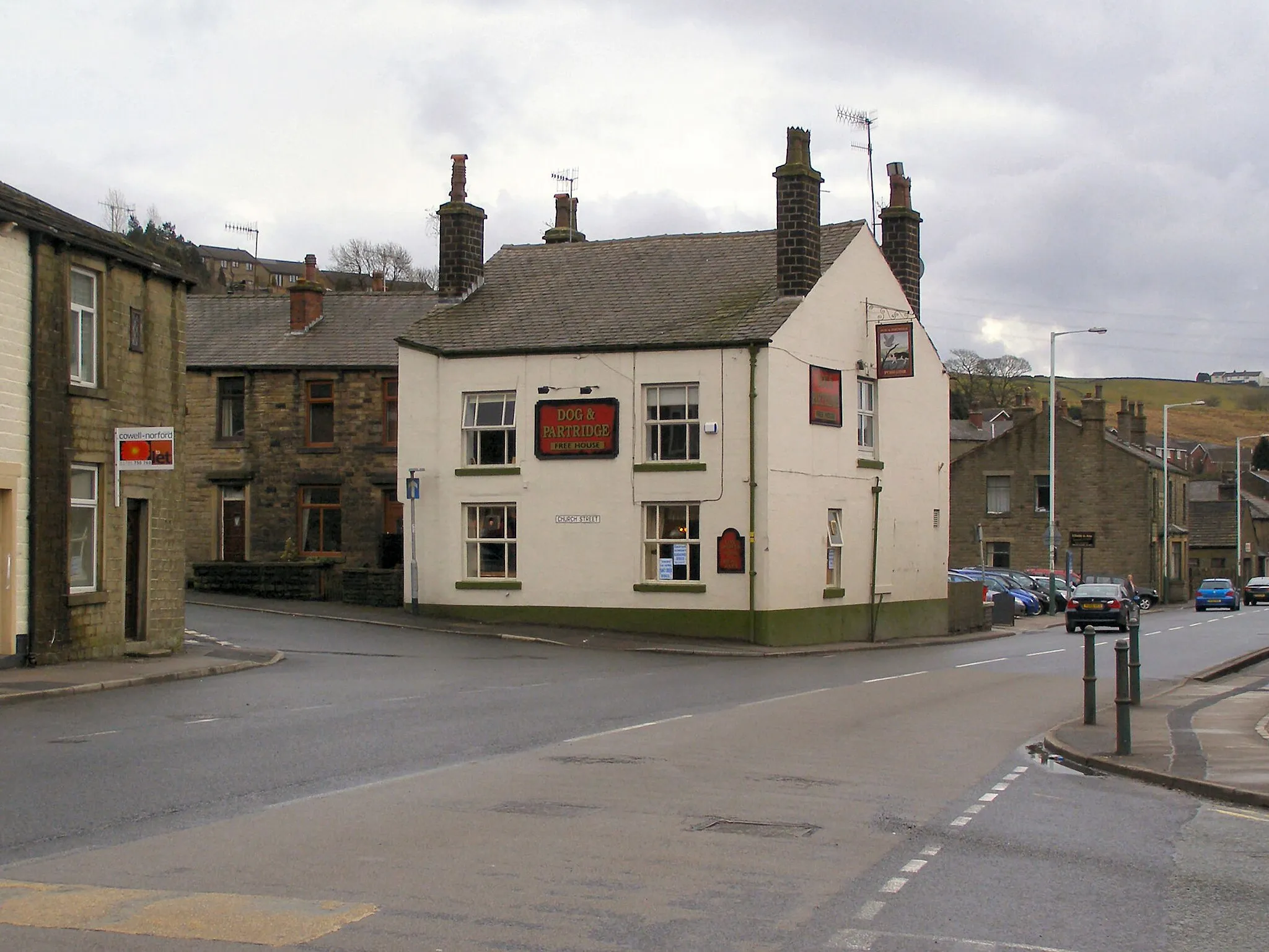
Bacup is a locality located in Lancashire, United Kingdom. From a cyclist's perspective, it offers a mixture of challenging climbs and scenic routes. The locality is known for its proximity to the iconic climb to Blackstone Edge, a popular spot for adventurous cyclists. Bacup itself is a small town with friendly locals and a welcoming atmosphere for cyclists. Overall, Bacup is a great destination for cyclists looking for both challenging climbs and beautiful countryside views.3 km
3 km
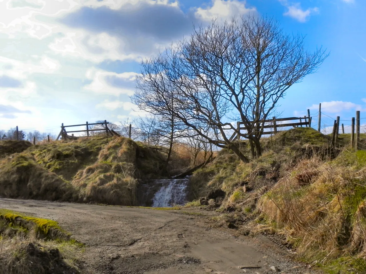
Thieveley Pike449 mPeakLocated at the 3-kilometer mark, Thieveley Pike offers breathtaking panoramic views of the surrounding Pennine Hills.
11 km
11 km
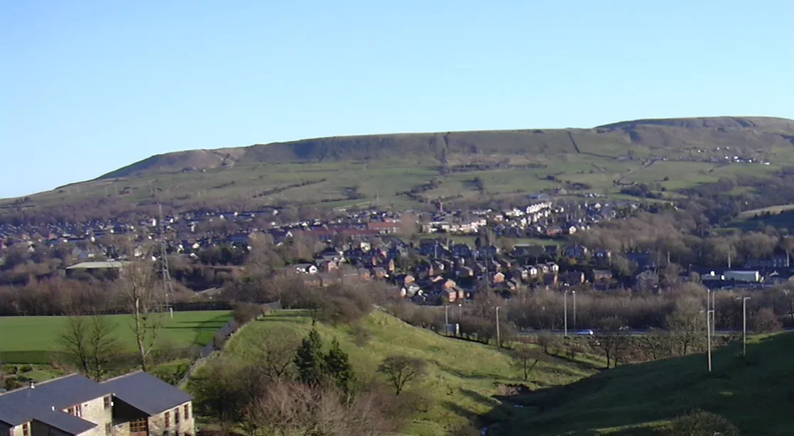
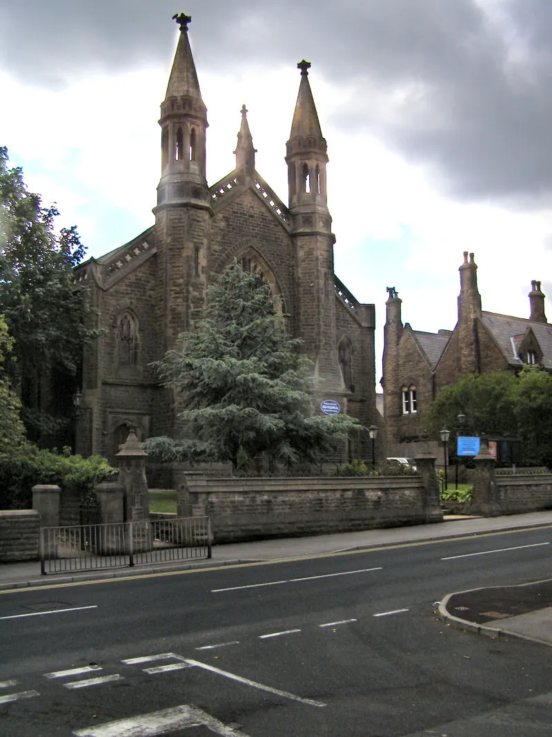
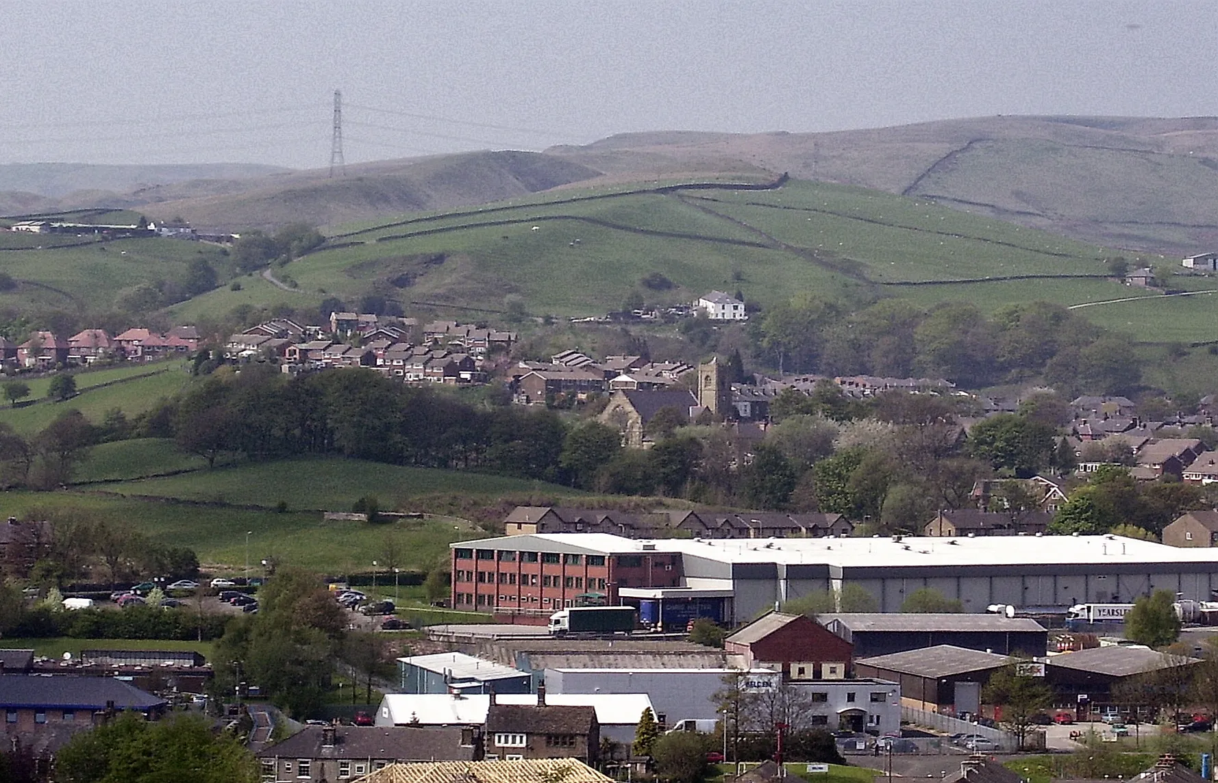
BurnleyTownAt the 11-kilometer mark, Burnley welcomes cyclists with its vibrant town center and historic landmarks.
25 km
25 km
TwistonHamletAt the 25-kilometer mark, Twiston introduces cyclists to its charming village atmosphere and tranquil surroundings.
35 km
35 km
PaythorneVillageLocated at the 35-kilometer mark, Paythorne charms cyclists with its idyllic countryside views and traditional architecture.
48 km
48 km
ElslackVillageAt the 48-kilometer mark, Elslack treats cyclists to its picturesque landscape and historic landmarks, such as Elslack Manor.
58 km
58 km
Laneshaw BridgeVillageLocated at the 58-kilometer mark, Laneshaw Bridge offers a peaceful retreat with its charming rural setting and quaint cottages.
68 km
68 km
Grey Stone Hill462 mPeakAt the 68-kilometer mark, Grey Stone Hill challenges cyclists with its steep gradient and rewards them with breathtaking views from the top.
86 km
86 km
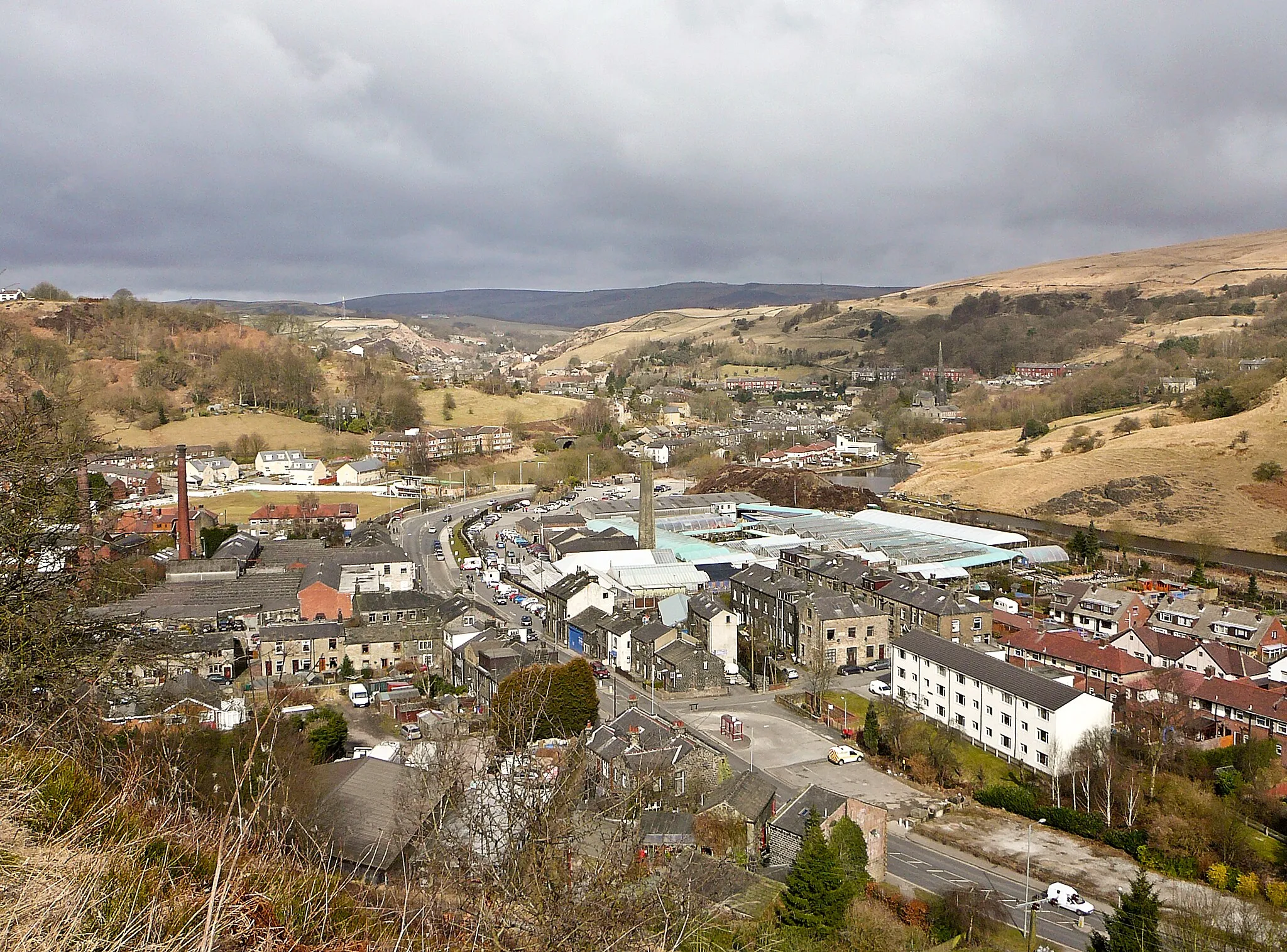
CornholmeVillageLocated at the 86-kilometer mark, Cornholme invites cyclists to relax by the tranquil waters of Waterfoot Reservoir and enjoy the beauty of the surrounding nature.
89 km
89 km
Todmorden Moor421 mPeakAt the 89-kilometer mark, Todmorden Moor showcases its wild beauty and offers a sense of remoteness and adventure to cyclists.
96 km
96 km
BacupTownAt the 96-kilometer mark, Bacup welcomes cyclists back with its historic landmarks, friendly atmosphere, and stunning views of the surrounding hills.
96 km
96 km
Finish: Bacup City centerBacup: Conquering the famous Blackstone Edge climb in Bacup.
Cycling routes from Bacup:
The Burnley and Beyond Road Cycling Route The Pennine Hills Challenge Rochdale Hilly Adventure Road Cycling Route Gravel Escape Scenic Road Trip The Epic Gravel Adventure of Wycoller Hall Moorland Adventure Gravel Adventure The Gravel Adventure of Burnley The Gravel Adventure of Cowpe Lowe Scenic Gravel Route Adventurous Gravel Ride Challenging Gravel Adventure
Cycling routes nearby: