Dales & Moorlands
A road cycling route starting from Galgate
Embark on an epic road cycling journey through the stunning dales and moorlands near Galgate.
Map
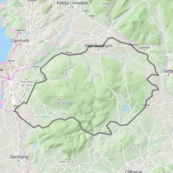
The Dales & Moorlands route is a challenging road cycling adventure that meanders through the breathtaking dales and moorlands near Galgate. With a distance of 102 kilometers and an ascent of 1292 meters, it offers a thrilling challenge for experienced cyclists. Highlights of the route include Quernmore, The Cragg, Wray, Austwick, Tosside, Slaidburn, The Knot/Sugar Loaf, and Marshaw. These locations showcase the diverse natural beauty of the area, from picturesque dales to moorland vistas, allowing riders to immerse themselves in the rugged charm of Lancashire.
road
102 km
1292 m
Savage
Route profile
Highlights on the route
0 km
0 km
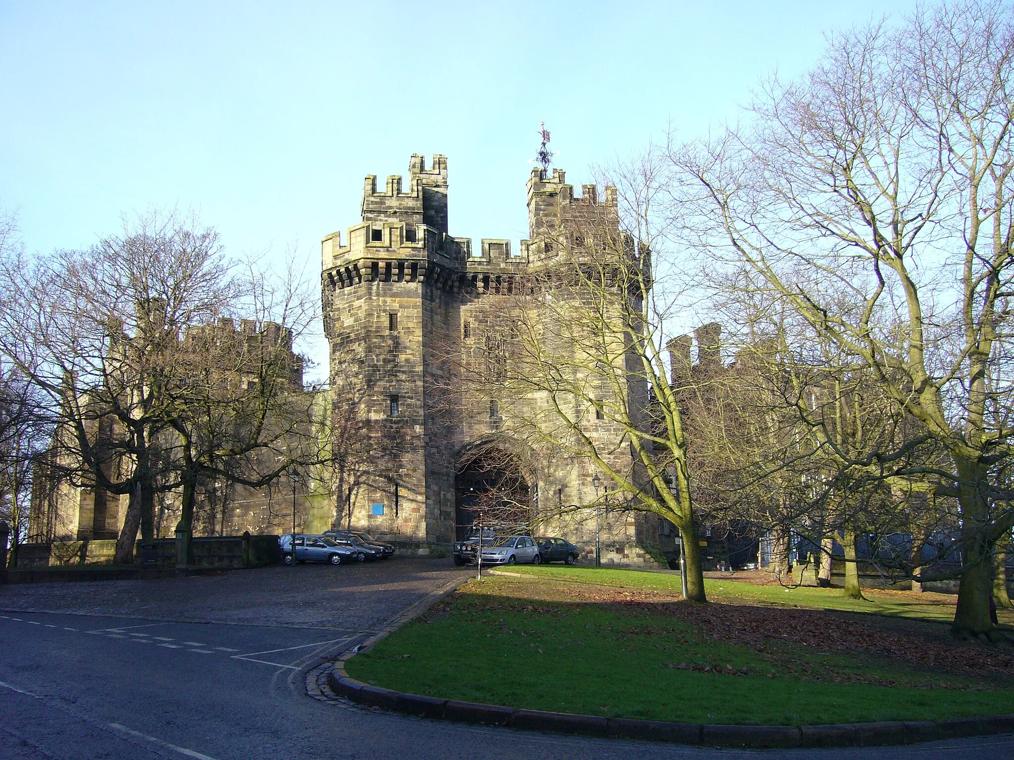
Start: Galgate Village centerGalgate: Explore the beauty of Galgate, United Kingdom on two wheels
Galgate is a village located in Lancashire, United Kingdom. From a cyclist's perspective, Galgate is a suitable locality for both road and gravel cycling. The surrounding countryside offers beautiful landscapes and quiet, well-maintained roads that are perfect for cycling. The nearby Forest of Bowland is a famous cycling location, with its challenging climbs and stunning views. Overall, Galgate is a great place to enjoy cycling in peaceful surroundings and explore the natural beauty of the area.5 km
5 km
QuernmoreVillageQuernmore rewards cyclists with panoramic views of the surrounding landscape and a sense of accomplishment as they conquer its challenging inclines.
10 km
10 km
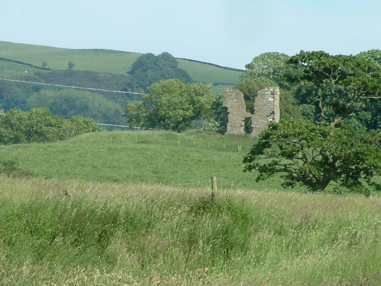
The Cragg214 mPeakThe Cragg promises an exhilarating experience with its steep descents, twisty trails, and rugged terrain that keeps riders on their toes.
22 km
22 km
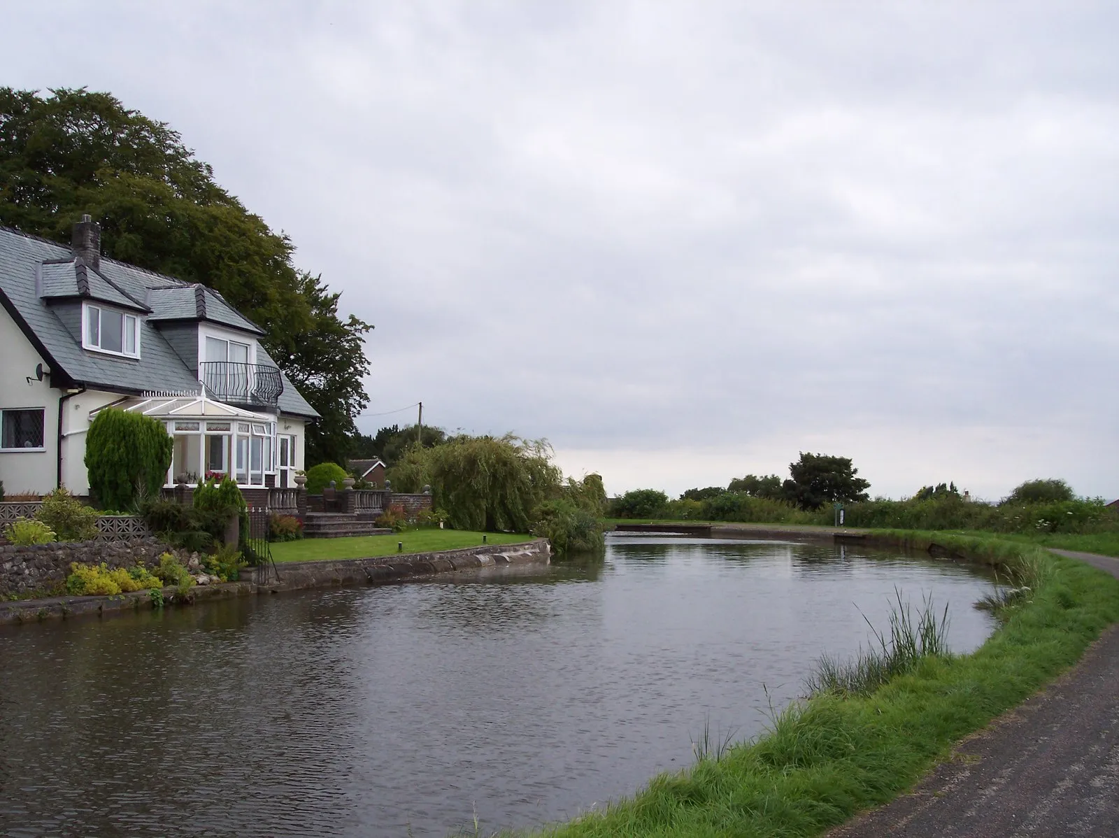
WrayVillageWray welcomes cyclists with its idyllic setting, surrounded by enchanting woodlands and offering a chance to spot wildlife amidst picturesque scenery.
41 km
41 km
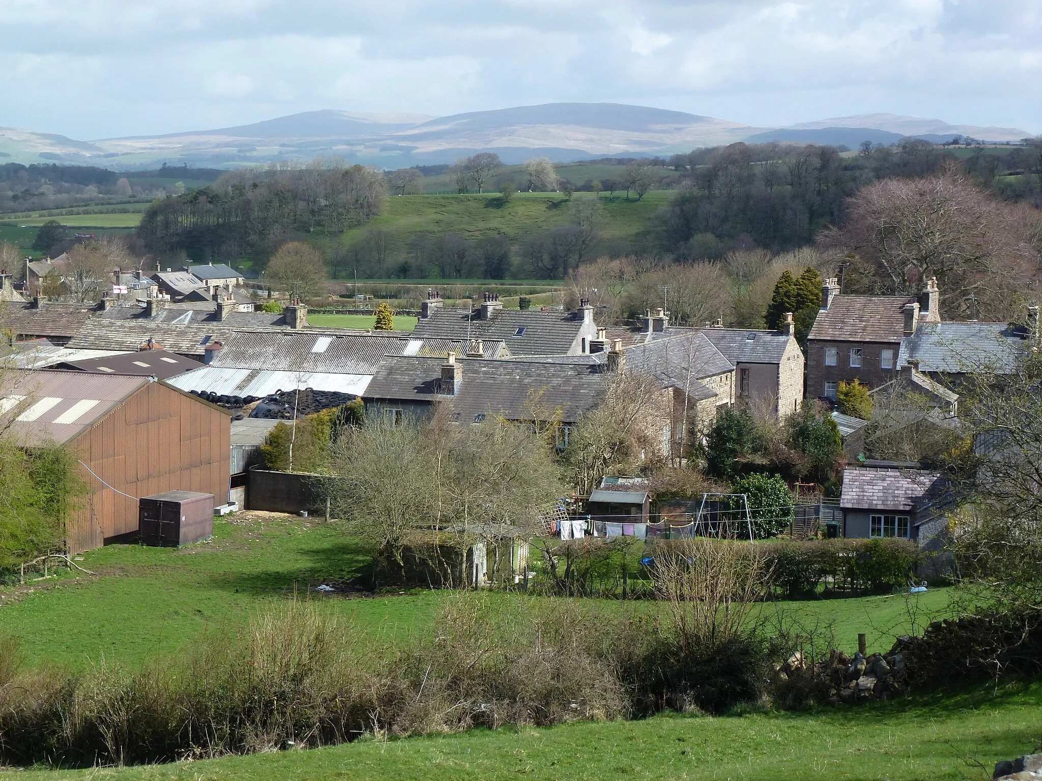
AustwickVillageAustwick greets riders with its charming stone cottages and stunning views of the Yorkshire Dales, making it a standout highlight along the route.
61 km
61 km
TossideVillageTosside captivates cyclists with its remote location and rolling landscapes, providing a true sense of adventure and tranquility.
69 km
69 km
SlaidburnVillageSlaidburn exudes undeniable charm with its well-preserved historic buildings and access to some of Lancashire's most captivating landscapes.
77 km
77 km
The Knot/Sugar Loaf200 mPeakThe Knot/Sugar Loaf offers riders uniquely challenging terrain, as they ascend its slopes for breathtaking panoramas of the surrounding moorlands.
88 km
88 km
MarshawHamletMarshaw presents cyclists with stunning vistas of the Bowland Fells and showcases the rugged beauty of this wild and untamed terrain.
102 km
102 km
Finish: Galgate Village centerGalgate: Explore the beauty of Galgate, United Kingdom on two wheels
Cycling routes nearby: