Warrington Gravel Adventure
A gravel cycling route starting from Skelmersdale
Embark on a thrilling gravel adventure through the outskirts of Skelmersdale and explore the diverse landscapes of Warrington
Map
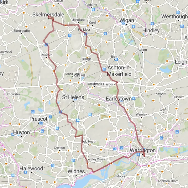
This exhilarating gravel route starting near Skelmersdale takes you on a 65 km journey through the scenic outskirts of Warrington. With an elevation gain of 267 meters, this route is suitable for gravel enthusiasts looking for a mix of tranquil paths and challenging terrain.
gravel
65 km
267 m
Chill
Route profile
Highlights on the route
0 km
0 km
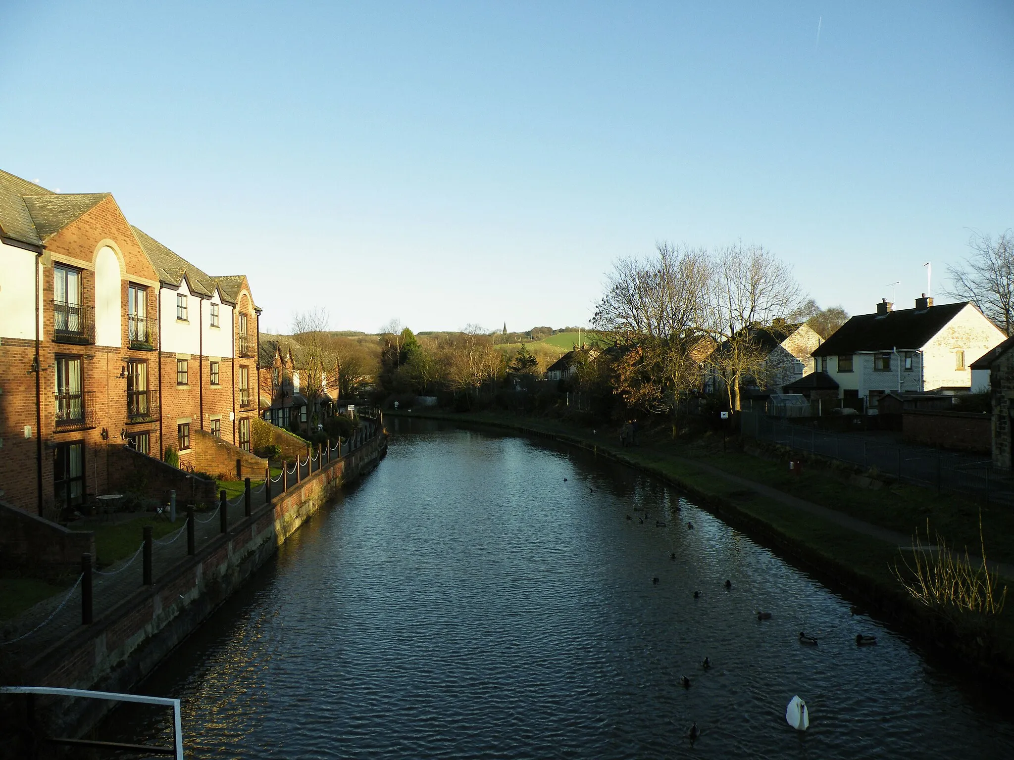
Start: Skelmersdale City centerSkelmersdale: Cycling in West Lancashire's Rolling Hills
Skelmersdale, located in Lancashire, United Kingdom, offers a varied cycling experience. From the town center, cyclists can venture into the rolling hills of West Lancashire and enjoy scenic countryside routes. The roads are generally in good condition, making it suitable for road cycling. For gravel cycling enthusiasts, there are plenty of options in the nearby areas. One notable climb is Ashurst Beacon, offering stunning views from the top. Skelmersdale also has several cycling clubs and groups, creating an active cycling community. Overall, Skelmersdale is a great destination for both road and gravel cycling enthusiasts.12 km
12 km
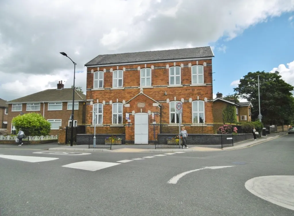
GarswoodVillageGarswood, just 12 km into the route, offers a peaceful retreat away from the hustle and bustle, with its charming rural setting and picturesque cottages.
28 km
28 km
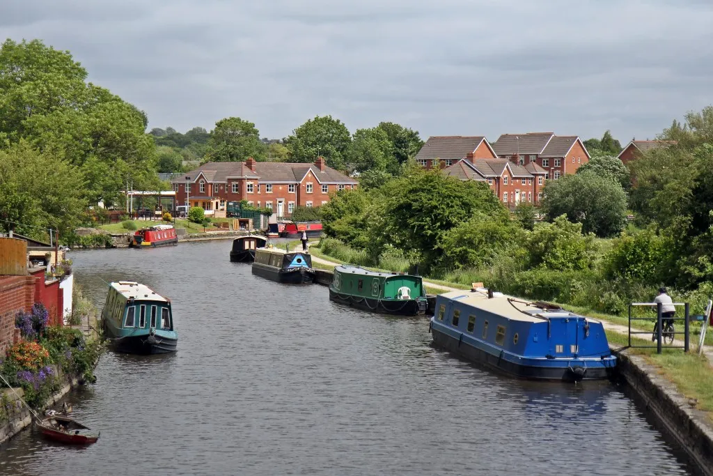
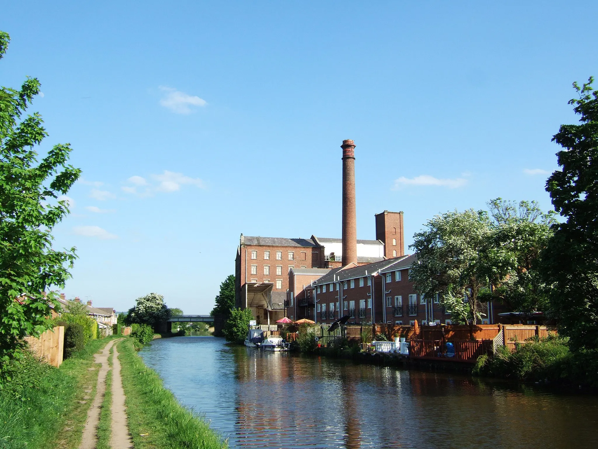
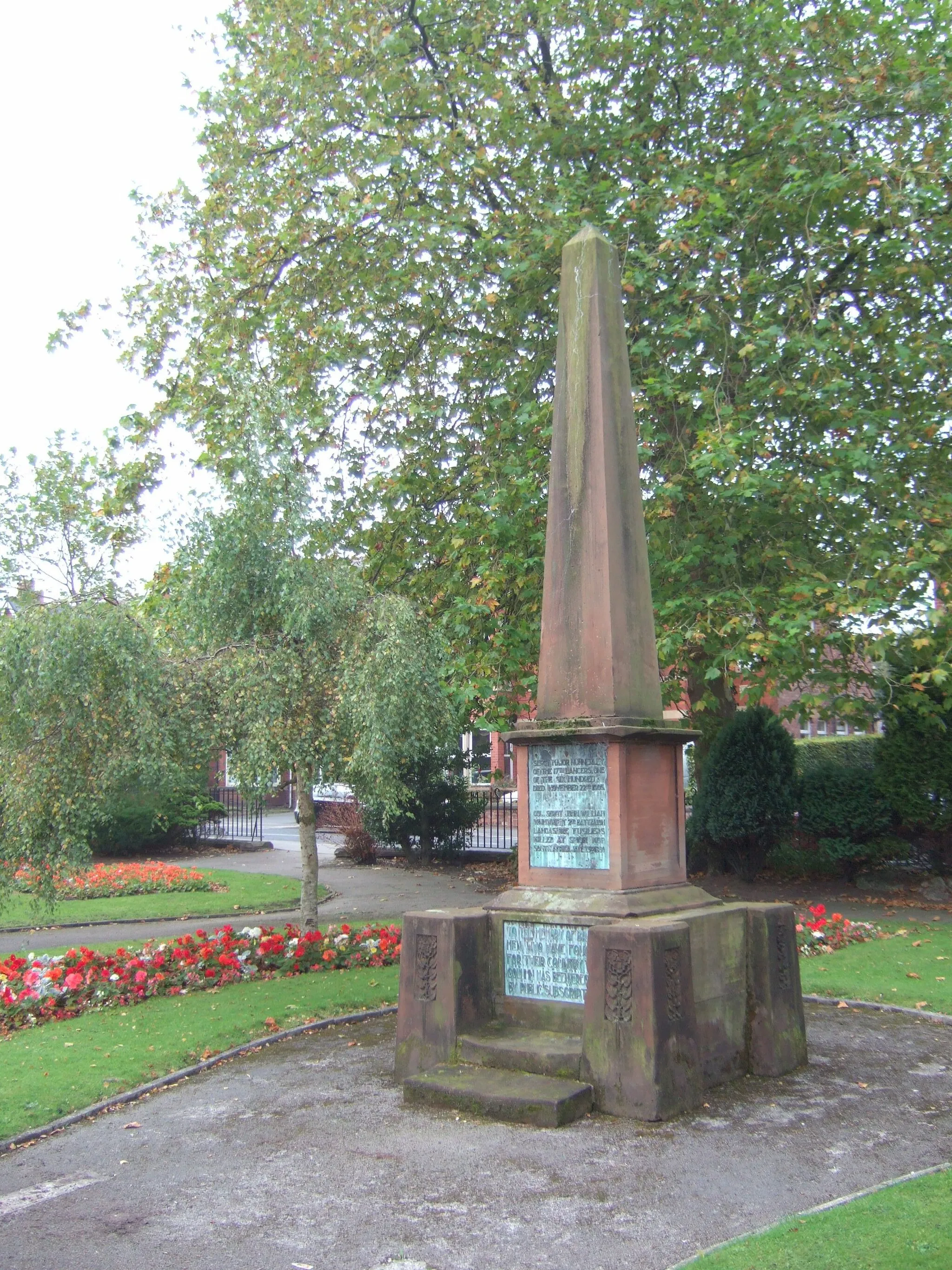
WarringtonTownAt 28 km, reach Warrington, a vibrant town steeped in history and adorned with Victorian and Tudor architecture.
37 km
37 km
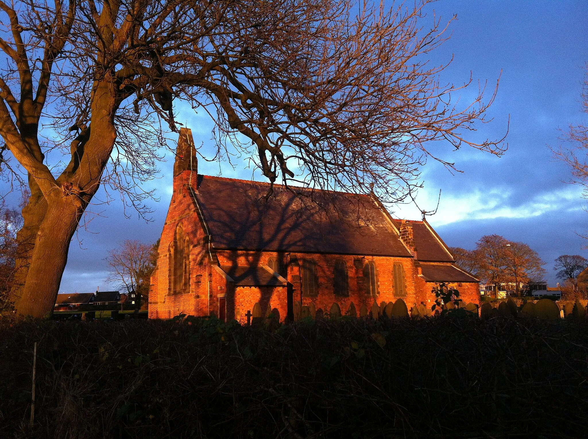
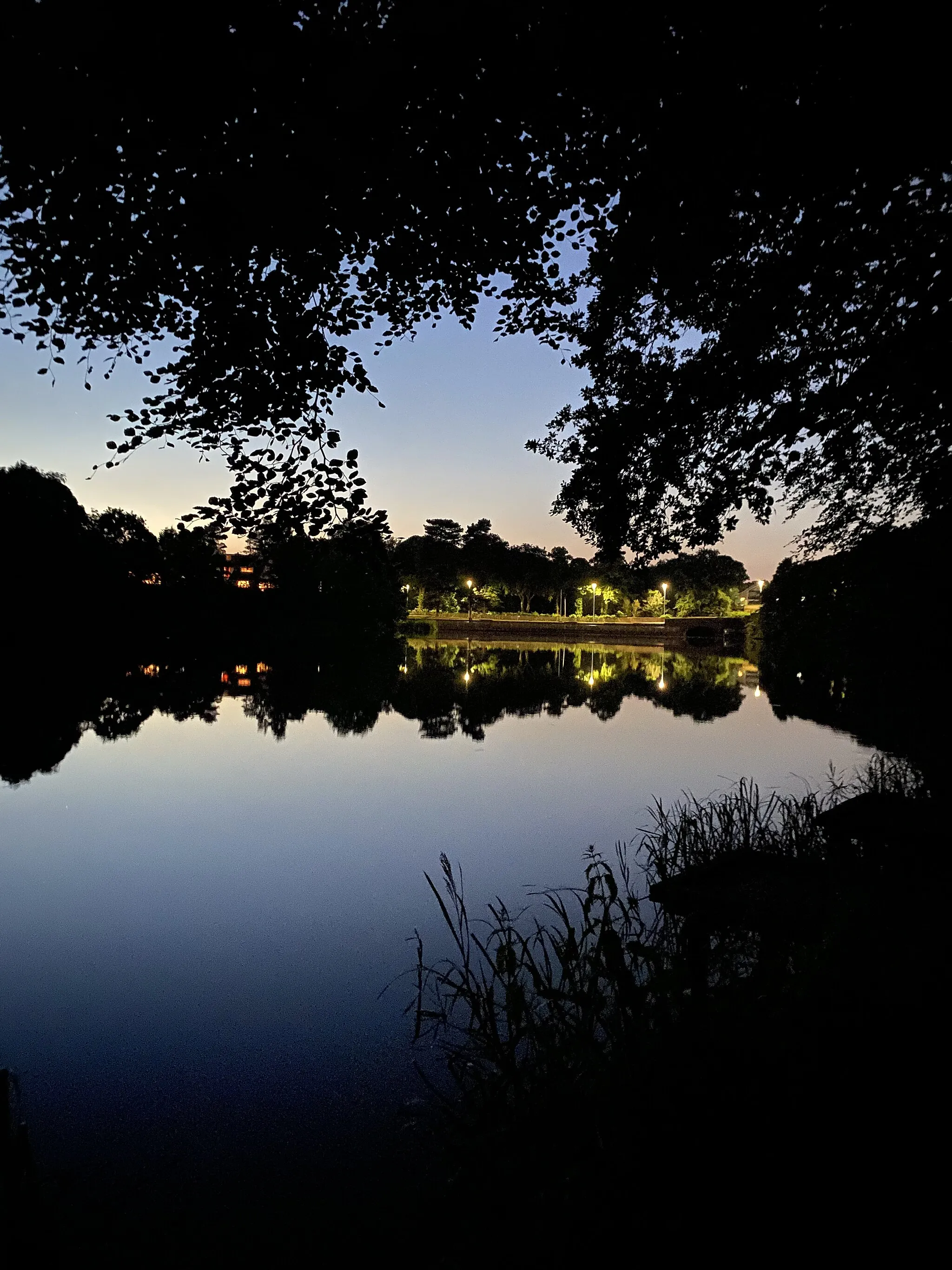
Widnes WarthViewpointEmbrace the nature surrounding Widnes Warth at 37 km, a tranquil green space with stunning views of the River Mersey and the nearby Runcorn Bridge.
65 km
65 km
Finish: Skelmersdale City centerSkelmersdale: Cycling in West Lancashire's Rolling Hills
Cycling routes from Skelmersdale:
Cycling routes nearby: