Great cycling opportunities in Asfordby, United Kingdom
Cycling routes from Asfordby
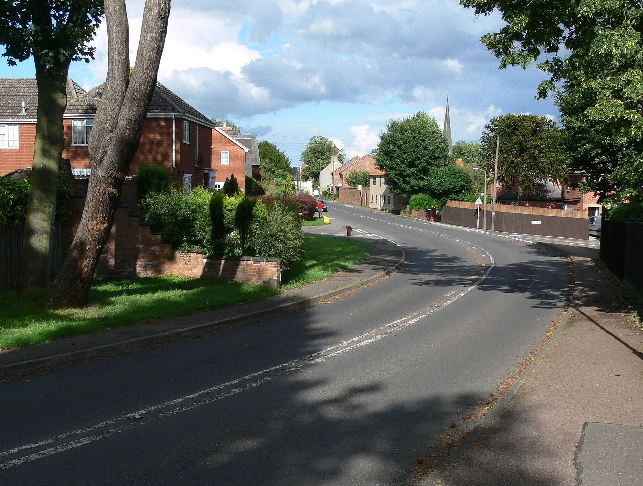
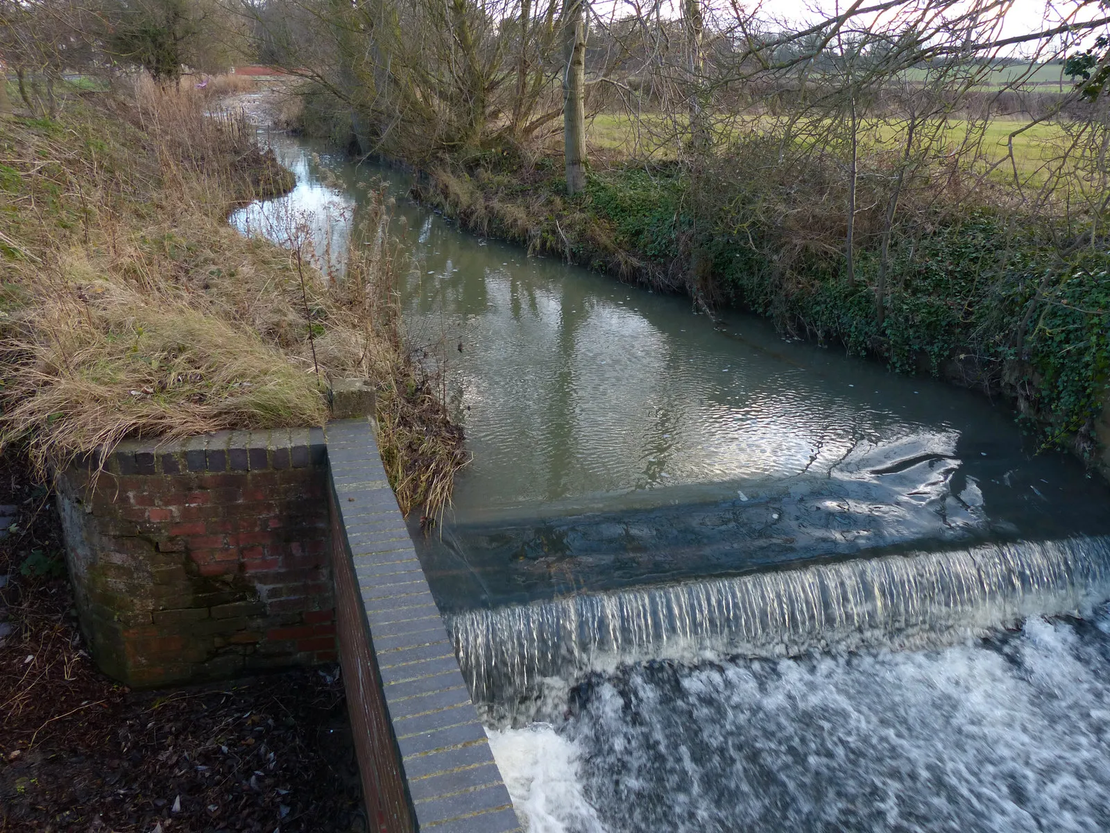
Asfordby, located in the regions of Leicestershire, Rutland, and Northamptonshire in the United Kingdom, is a locality that offers good cycling opportunities for road and gravel cyclists. The area provides scenic routes with varied terrain, making it suitable for cyclists of different skill levels. Nearby areas like Rutland Water offer excellent cycling routes and popular spots for enthusiasts. Overall, Asfordby is a great cycling-friendly area for tourists.
Cycling adventure through scenic Leicestershire, Rutland, and Northamptonshire
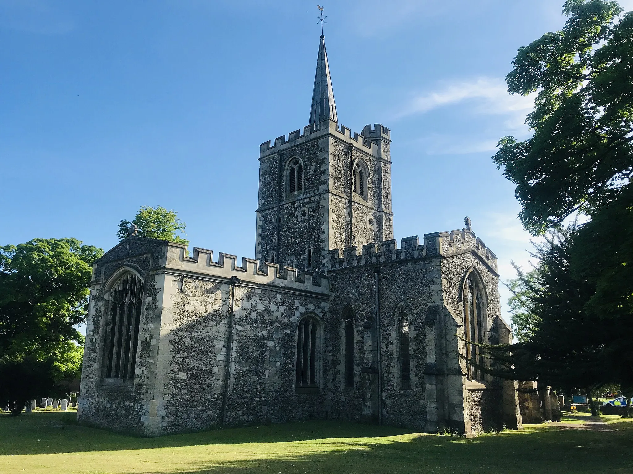
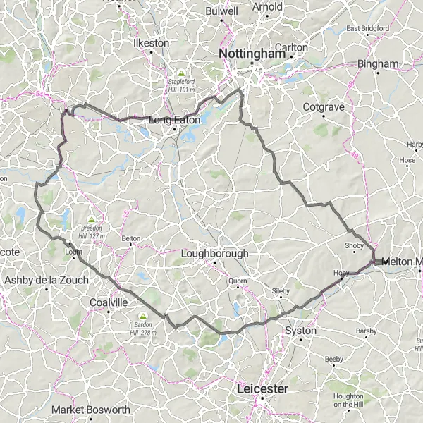
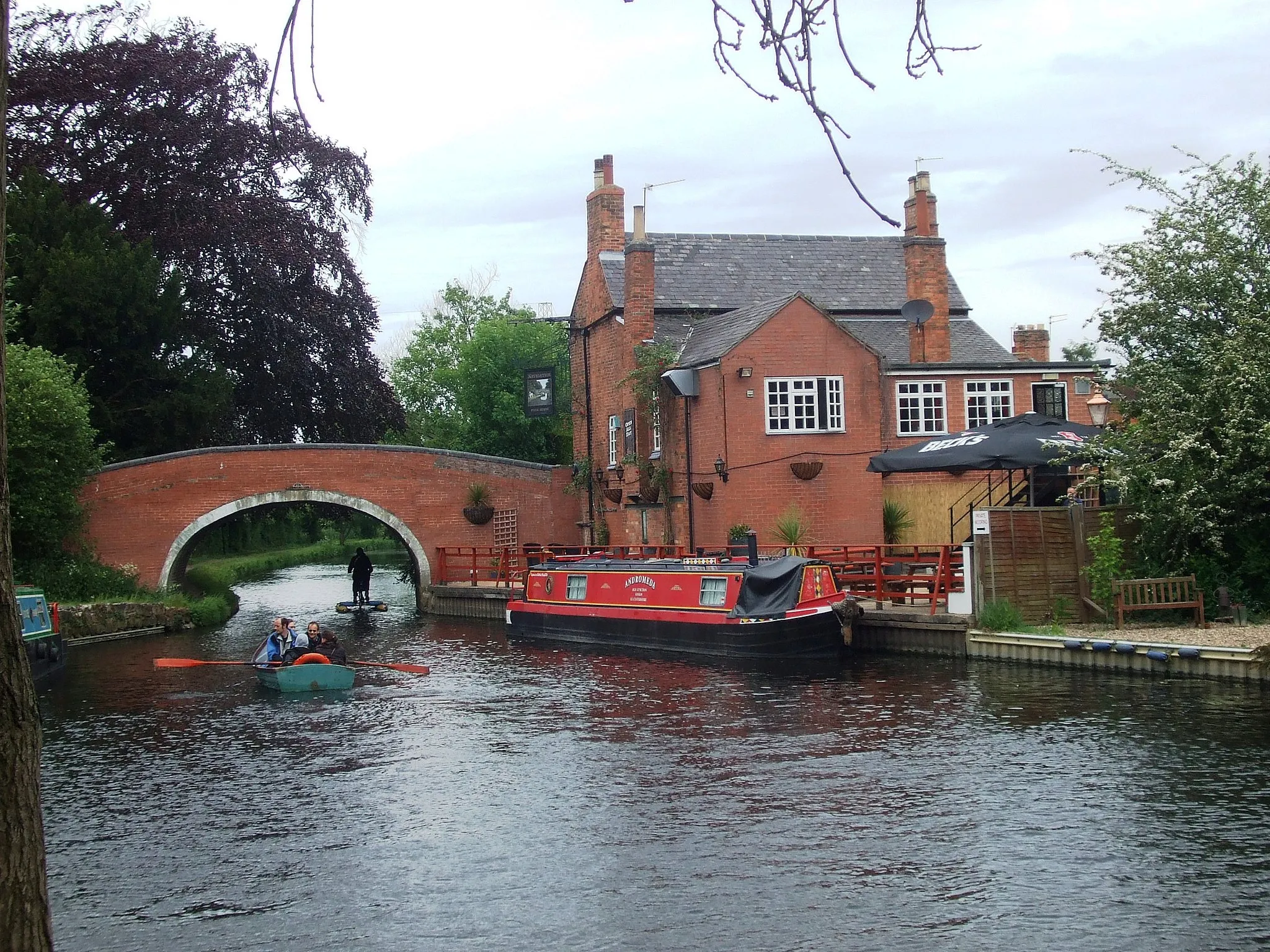
This cycling route starting near Asfordby takes you through picturesque villages and beautiful countryside. The route includes highlights such as Ratcliffe on the Wreake, known for its historic church and charming village atmosphere. Black Hill offers breathtaking views of the surrounding landscape, while Ticknall impresses with its historic buildings and gardens. Breaston and Beeston provide a mix of natural beauty and urban charm, with the latter being home to the famous Beeston Castle. With a moderate difficulty level and diverse scenery, this route promises an enjoyable cycling experience.

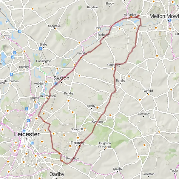
Exciting gravel adventure in the scenic countryside
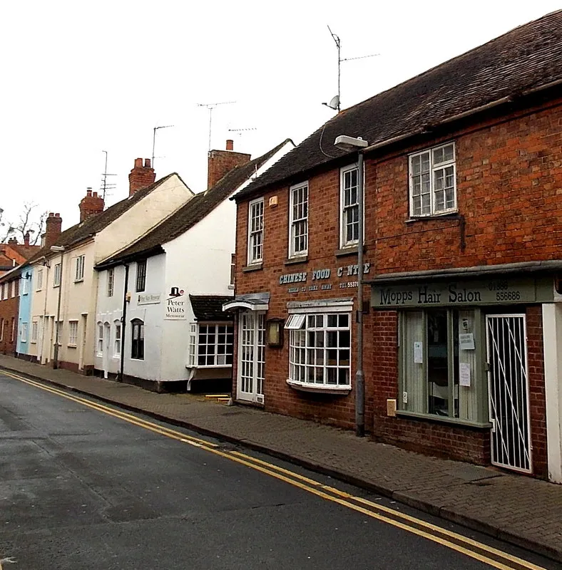
This gravel cycling route near Asfordby takes you on an adrenaline-filled adventure through the Leicestershire countryside. Thrussington impresses with its charming village atmosphere and traditional buildings. Loughborough, known for its industrial heritage, offers a mix of urban and rural scenery. Wymeswold showcases its beautiful countryside and peaceful ambiance, with plenty of picturesque spots for a rest. The route concludes in Grimston, a country village nestled amidst rolling hills and scenic beauty. With a moderate difficulty level and exciting terrain, this route is perfect for gravel enthusiasts.
Thrilling gravel adventure through Leicestershire and Rutland
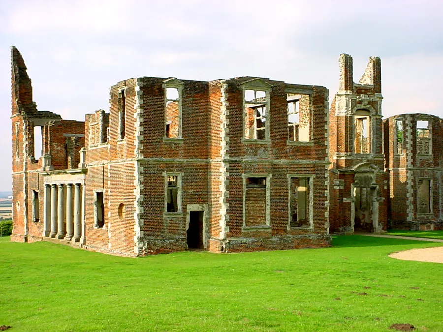
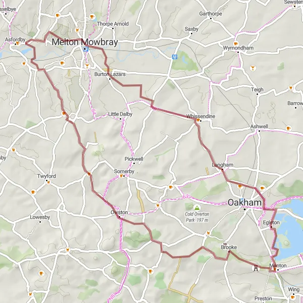
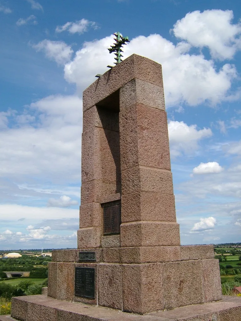
Embark on an exciting gravel adventure through the scenic countryside of Leicestershire and Rutland, starting near Asfordby. Burton Lazars treats you to lovely views of the surrounding farmland and tranquil nature spots. Whissendine impresses with its traditional cottages and beautiful countryside scenery. Lax Hill offers challenging off-road sections and breathtaking views from its hilltops. Braunston in Rutland showcases its historic village center and picturesque atmosphere. Great Dalby is a peaceful village surrounded by rolling hills and scenic beauty. The route concludes back in Asfordby, allowing you to appreciate its rich history and beautiful architecture. With a moderate difficulty level and diverse terrain, this route promises an unforgettable gravel cycling experience.
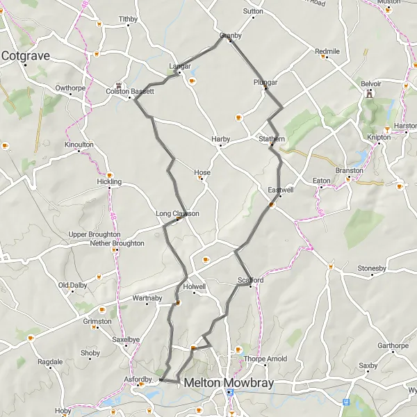
Ride from Asfordby to Ab Kettleby and Granby
This is a road cycling route that takes you from Asfordby to Ab Kettleby and Granby. The route covers a distance of 47 km with an ascent of 311 meters. It is suitable for well-trained amateur cyclists.
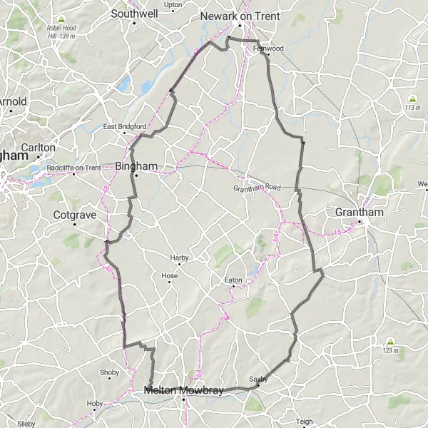
Scenic road cycling in Leicestershire and Northamptonshire
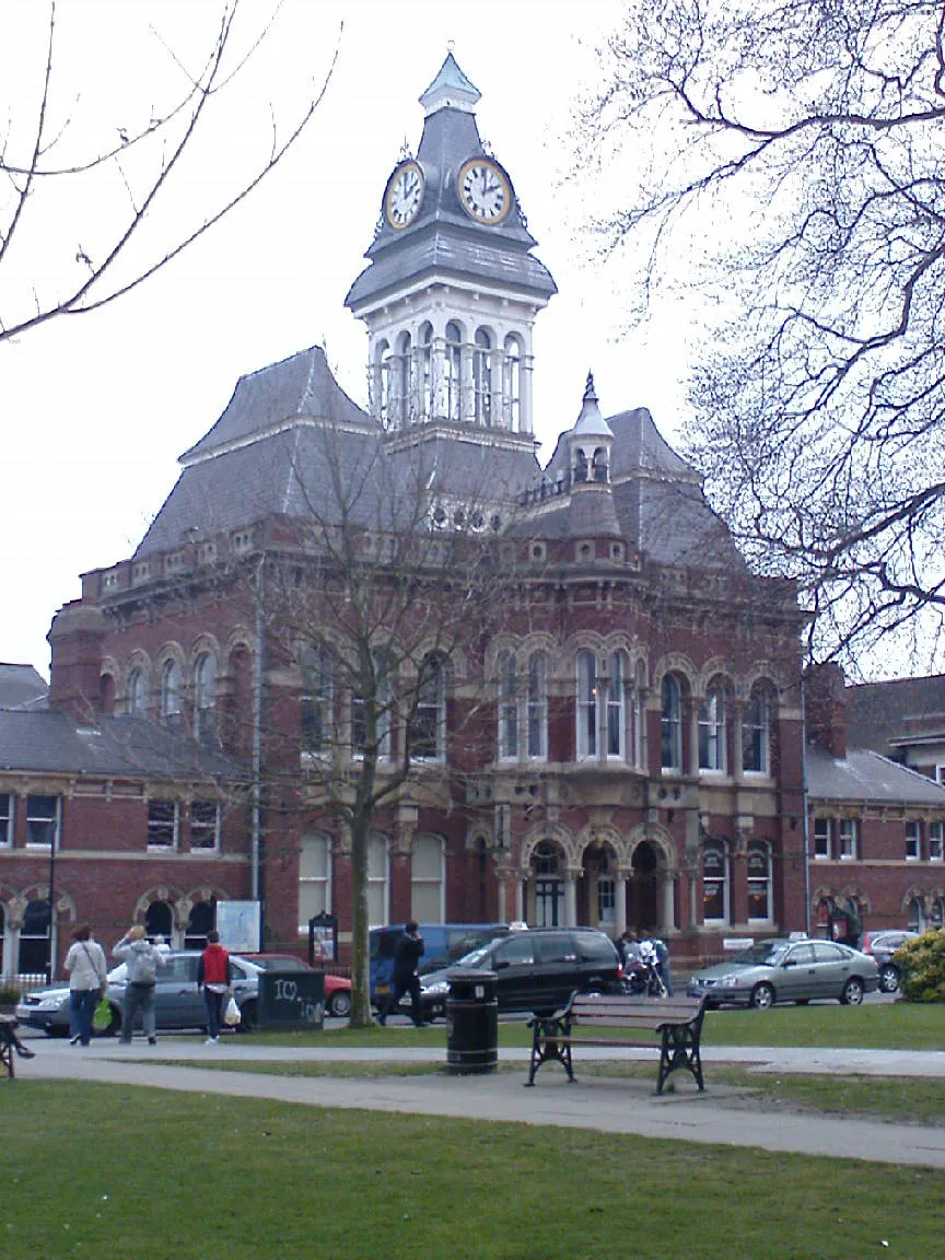
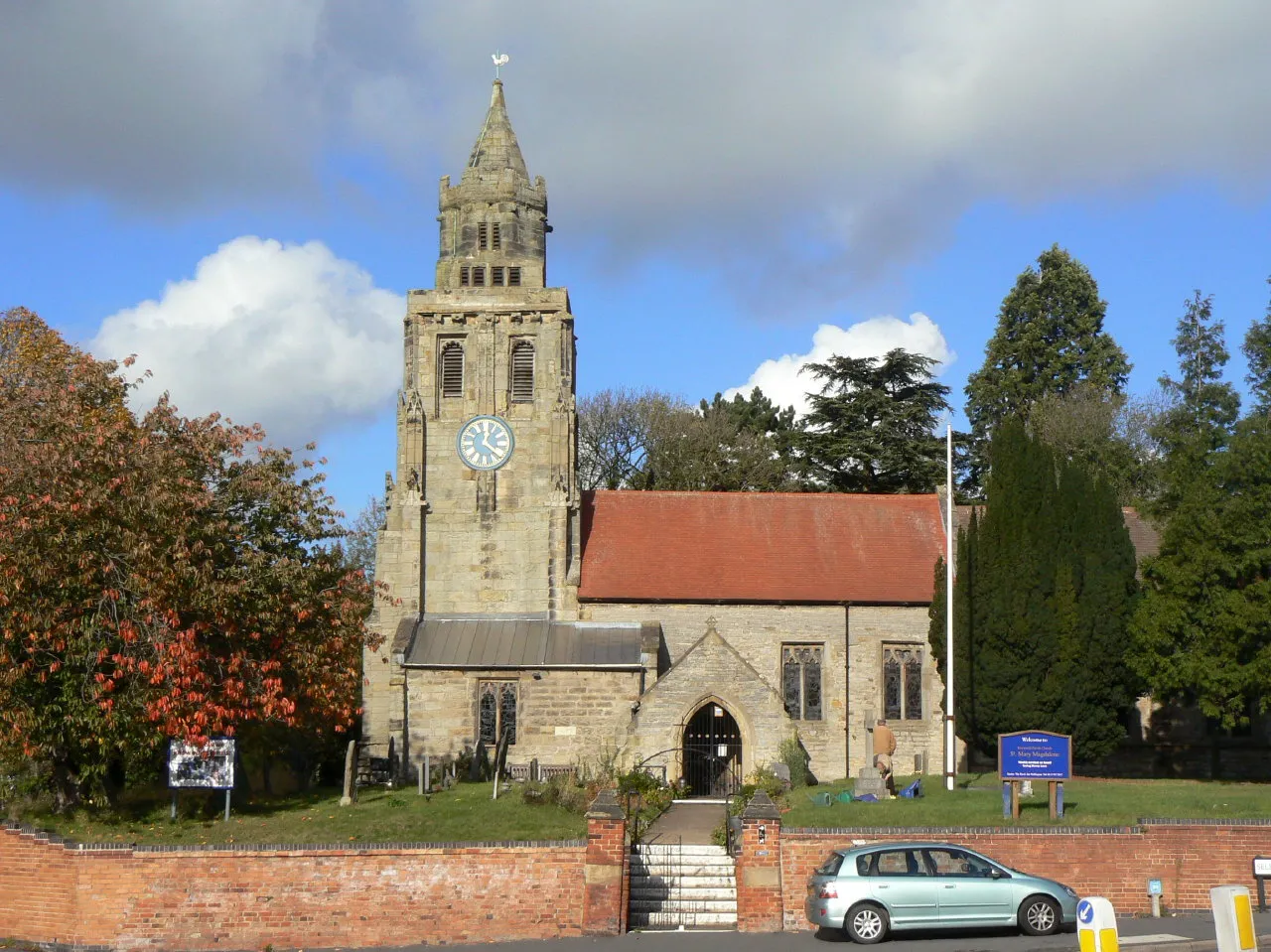
Explore the diverse landscapes of Leicestershire and Northamptonshire on this road cycling route starting near Asfordby. Ab Kettleby welcomes you with its charming countryside and traditional architecture. Bingham impresses with its historic market and abundance of green spaces. Park View offers delightful views of the surrounding countryside, perfect for a cycling pit stop. Balderton showcases its picturesque landscapes and peaceful ambiance. Long Bennington is a quaint village with stunning views of the Vale of Belvoir. Wyville captivates with its idyllic scenery and tranquil atmosphere. Finally, Melton Mowbray awaits with its grand historic buildings and vibrant cultural scene. With a moderate difficulty level, this route offers a mix of rural charm and urban exploration.
Off-road cycling from South Croxton to Bushby and Syston
Take your off-road cycling skills to the test with this route from South Croxton to Bushby and Syston. Covering a distance of 49 km and an ascent of 361 meters, it provides a challenging adventure for well-trained amateur cyclists.
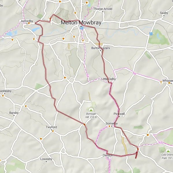
Melton Mowbray - Buckminster - Ryhall - Tixover - Uppingham - Braunston in Rutland - Great Dalby
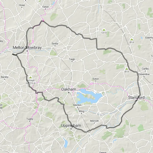
Scenic road cycling through picturesque Leicestershire and Rutland
Discover the beauty of Leicestershire and Rutland through this scenic road cycling route starting near Asfordby. Melton Mowbray welcomes you with its grand historic buildings and vibrant cultural scene. Buckminster offers picturesque countryside views and a tranquil cycling experience. Ryhall showcases its charming village atmosphere and beautiful stone houses. Tixover captivates with its idyllic scenery and peaceful ambiance. Uppingham impresses with its grand architecture and stunning views of the Welland Valley. Braunston in Rutland treats you to its historic village center and picturesque countryside. Great Dalby is a hidden gem surrounded by rolling hills and breathtaking natural beauty. With a moderate difficulty level and diverse landscapes, this route promises an unforgettable road cycling adventure.
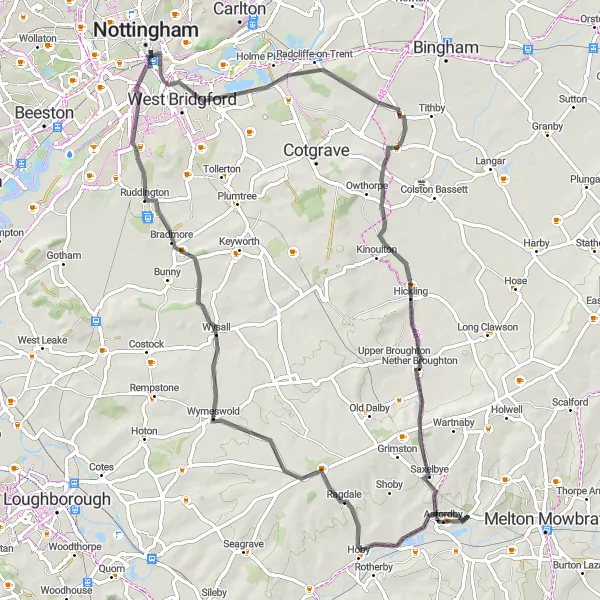
Scenic road cycling from Frisby on the Wreake to Wysall, Nottingham, Radcliffe-on-Trent, Hickling, and Asfordby
This scenic road cycling route takes you from Frisby on the Wreake to Wysall, Nottingham, Radcliffe-on-Trent, Hickling, and Asfordby. Covering a distance of 70 km with an ascent of 429 meters, it offers a challenging adventure for well-trained amateur cyclists.
Gravel adventure from Barrow upon Soar to Sawley and West Bridgford
Embark on a gravel cycling adventure from Barrow upon Soar to Sawley and West Bridgford. This 84 km route features an ascent of 363 meters, making it suitable for well-trained amateur cyclists who are up for a challenge.
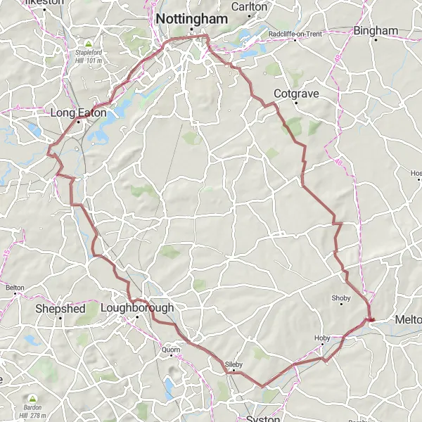
Gravel ride from Melton Mowbray to Knossington and Kirby Bellars
This gravel cycling route takes you from Melton Mowbray to Knossington and Kirby Bellars. The route covers a distance of 38 km with an ascent of 373 meters. It is suitable for well-trained amateur cyclists looking for a gravel adventure.
Cycling routes nearby:


Nearby regions: