Nature's Cycling Retreat: Hathern in Leicestershire, Rutland, and Northamptonshire.
Cycling routes from Hathern
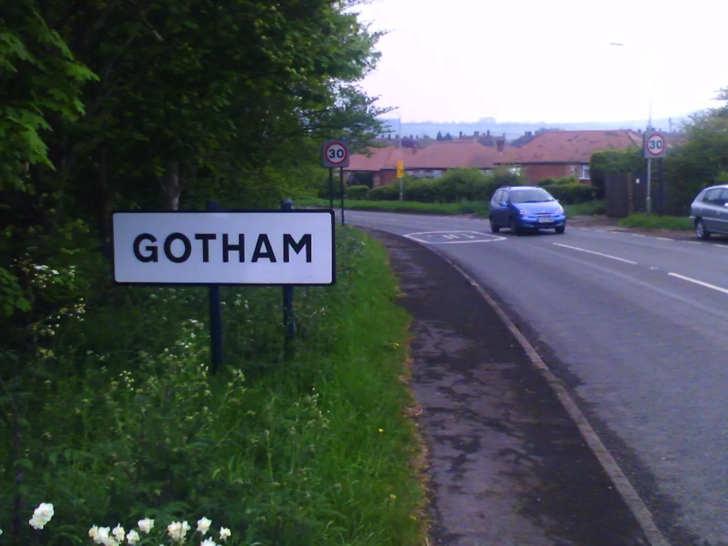
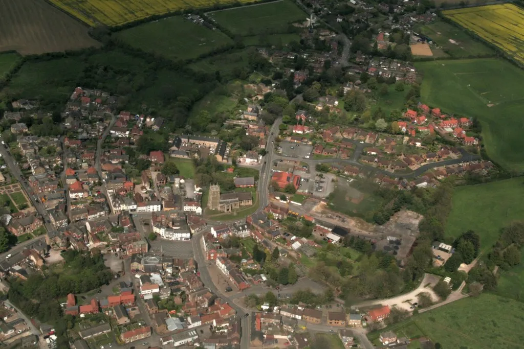
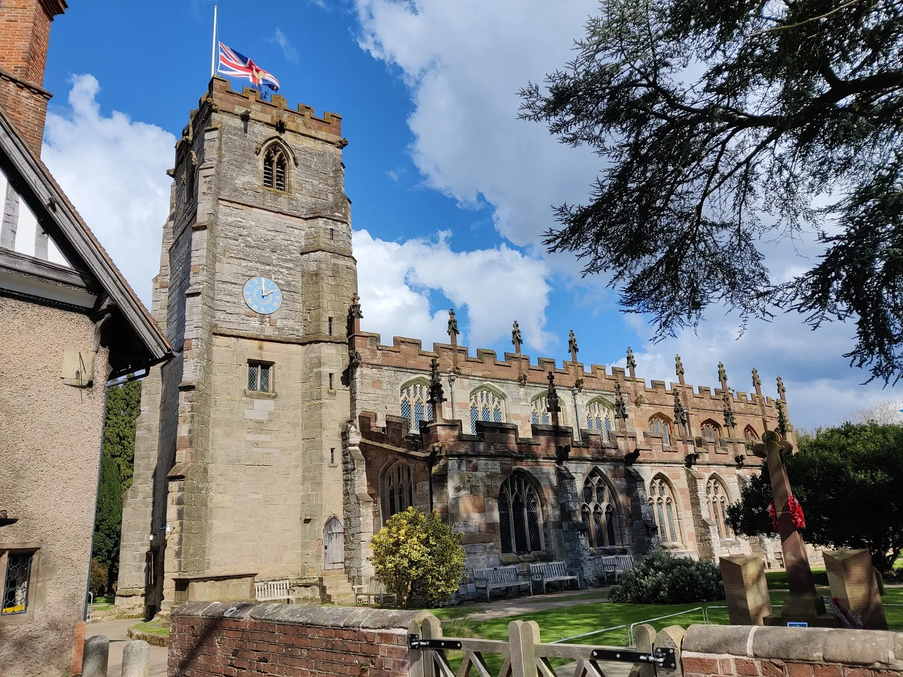
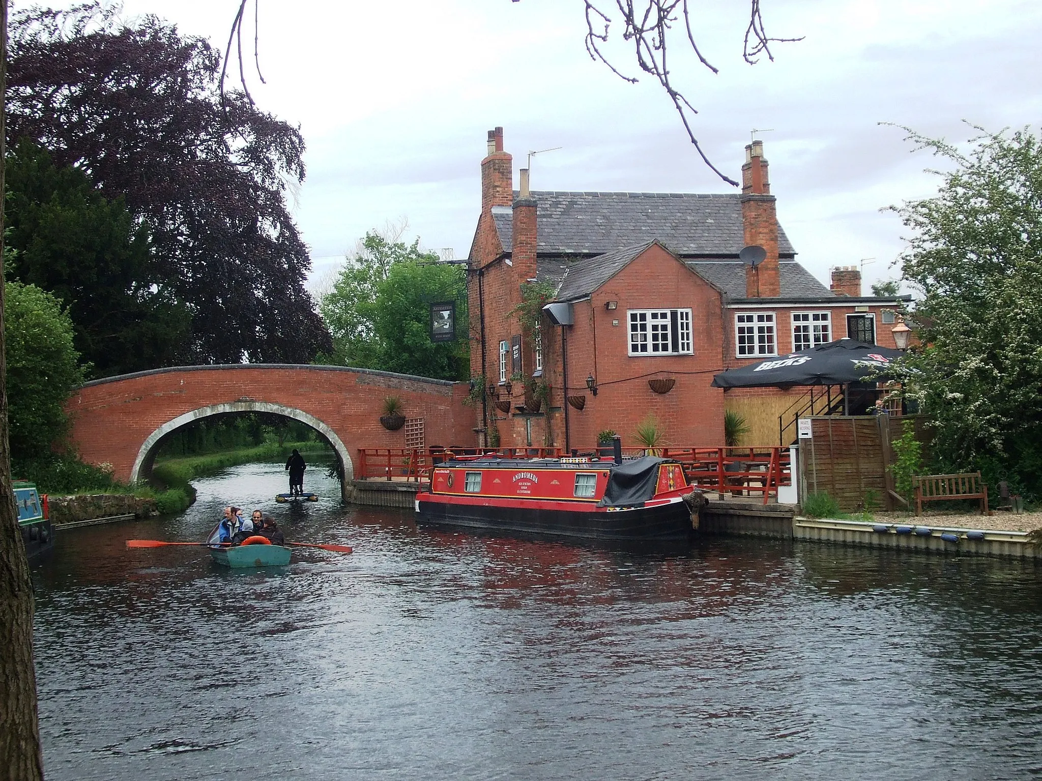
Hathern, situated in Leicestershire, Rutland, and Northamptonshire, offers a delightful experience to road and gravel cyclists. The locality embraces its beautiful countryside with peaceful roads winding through scenic landscapes. While Hathern may not be known for famous cycling spots or legendary climbs, it provides an enjoyable cycling environment with idyllic rural charm. Hathern receives a rank of 3 considering its cyclist-friendly atmosphere.
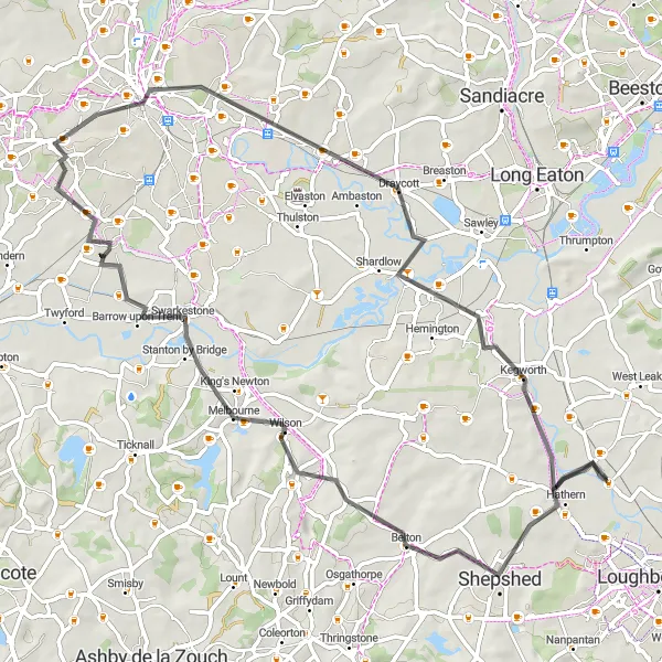
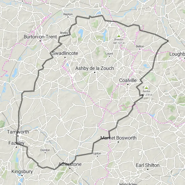
Explore Breedon Hill and charming villages on this scenic road cycling route
This picturesque road cycling route takes you through Breedon Hill and several charming villages near Hathern. With a total distance of 67km and an ascent of 306m, this route is suitable for intermediate cyclists. The highlights of this route include Bellevue Hill, a legendary cycling spot known for its stunning views and challenging climbs, and Swarkestone, a historic village offering picturesque views of the River Trent and beautiful countryside. Overall, this route offers a mix of challenging climbs, scenic countryside, and charming villages, providing a memorable cycling experience.
The Leake and Wolds Loop

Cycle through the scenic East Leake and Willoughby on the Wolds
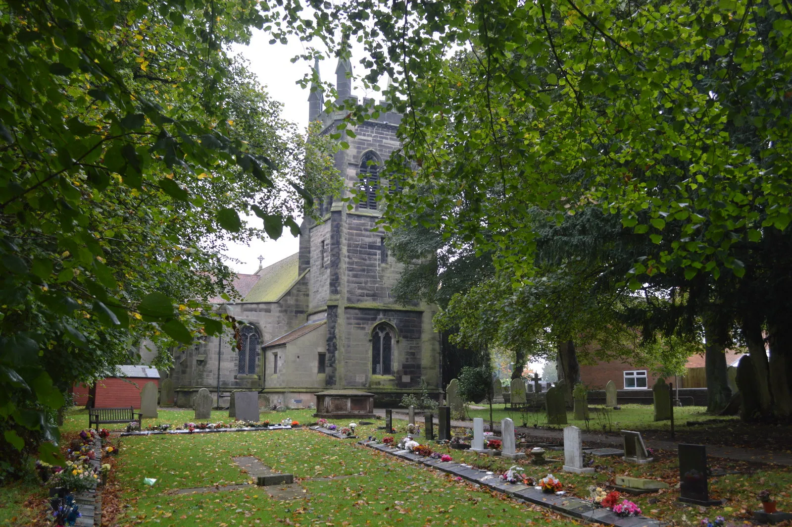
This distinctive road cycling route takes you through the idyllic villages of East Leake and Willoughby on the Wolds. With a total distance of 90km and an ascent of 635m, this challenging ride offers stunning views of the countryside. It is recommended for experienced cyclists due to its difficulty level. The highlights of this route include Frisby on the Wreake, a charming village known for its historic church, and Stanford on Soar, which is famous for its picturesque river and beautiful countryside. Overall, this route offers a unique and picturesque cycling experience.
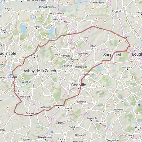
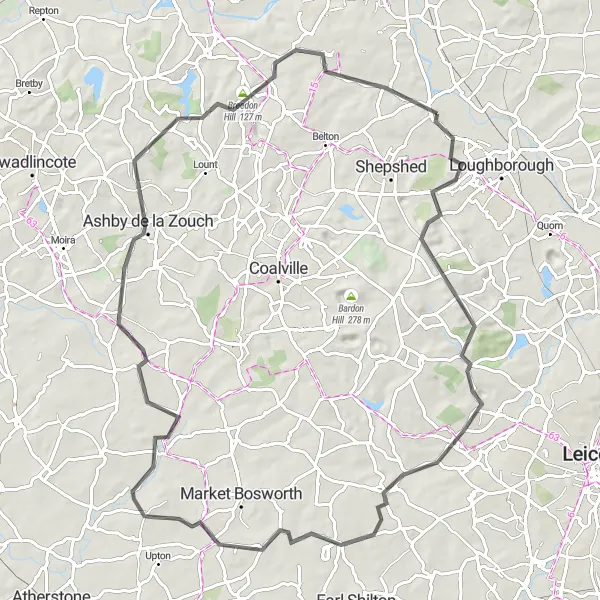
Conquer the legendary Bellevue Hill and picturesque Breedon Hill on this gravel route
This epic gravel cycling route takes you through the legendary Bellevue Hill and picturesque Breedon Hill. With a distance of 63km and an ascent of 528m, this challenging route is suitable for experienced gravel cyclists. The highlights of this route include Bellevue Hill, a legendary cycling spot known for its challenging climbs and stunning views, and Swarkestone, a historic village offering picturesque views of the River Trent and beautiful countryside. Overall, this route provides a thrilling off-road cycling experience and showcases the natural beauty of Leicestershire and Derbyshire.
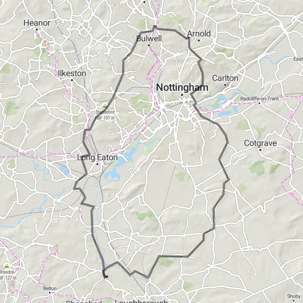
Venture through scenic landscapes and historic towns near Hathern.
This round-trip cycling route takes you through picturesque countryside and charming villages around Hathern, Leicestershire, Rutland, and Northamptonshire. With a moderate difficulty level, this route is perfect for well-trained amateur cyclists who enjoy exploring diverse terrains. The 75-kilometer long adventure includes a total ascent of 465 meters, offering a satisfying challenge without being too demanding. Along the way, you'll encounter highlights like Sawley, Stapleford Hill, Bulwell, East View, West Bridgford, and Stanford on Soar.
Ride through Donington Park and Swarkestone on this exciting gravel route
This exhilarating gravel cycling route takes you through some of the most scenic areas near Hathern, including Donington Park and Swarkestone. With a distance of 68km and an ascent of 364m, this route is suitable for experienced gravel cyclists. The highlights of this route include Donington Park, a world-famous motorsports track that offers stunning views and exciting terrain, and Swarkestone, a historic village known for its picturesque views of the River Trent and beautiful countryside. Overall, this route provides a thrilling off-road cycling experience and showcases the natural beauty of Leicestershire and Derbyshire.
The Hathern Hilly Loop
Challenge yourself with this hilly road cycling route through picturesque villages
This challenging road cycling route takes you through picturesque villages near Hathern, including the iconic Bellevue Hill. With a distance of 109km and an ascent of 809m, this ride is recommended for experienced cyclists. The highlights of this route include Shepshed, a scenic village known for its stunning views of the countryside and quaint shops, and Nailstone, a historic village offering beautiful landscapes and cycling opportunities. Overall, this route offers a mix of challenging climbs, scenic countryside, and charming villages, providing a rewarding cycling experience.
Conquer tough climbs and enjoy stunning views on this challenging road ride to Ashby de la Zouch.
For adrenaline-seeking cyclists, this 84-kilometer road route from Hathern to Ashby de la Zouch is the perfect challenge. With a difficulty level of 4, it's suitable for well-trained amateur riders who are ready to test their limits. The route includes a total ascent of 659 meters, guaranteeing a rewarding and exhilarating experience. Highlights along the way include Black Hill, Newtown Linford, Desford, Sutton Cheney, Shackerstone, Ashby de la Zouch, Breedon Hill, and Hathern.
Gravel Adventure near Hathern
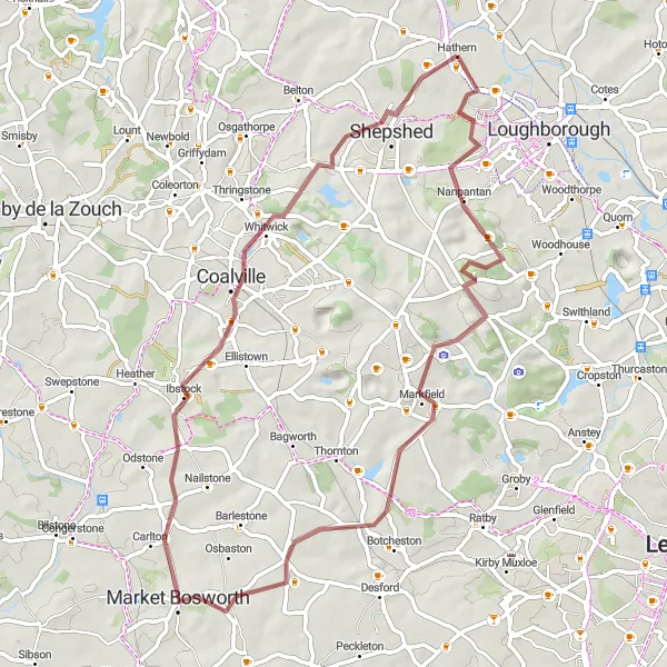
Discover gravel trails and magnificent viewpoints in the outskirts of Hathern.
Embark on a thrilling gravel biking adventure near Hathern, Leicestershire, Rutland, and Northamptonshire. With a moderate difficulty level, this 59-kilometer route covers diverse terrains and offers stunning views along the way. The total ascent of 649 meters adds an extra challenge to the journey. Don't miss the highlights, including Nanpantan, Black Hill, Market Bosworth, Whitwick, and Shepshed.

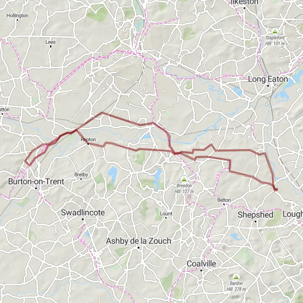
Immerse yourself in nature and history on this scenic gravel ride from Hathern to Calke.
Experience the beauty of the countryside on this 64-kilometer gravel cycling route from Hathern to Calke. With a moderate difficulty level, this adventure includes a total ascent of 421 meters, providing an enjoyable challenge for well-trained amateur cyclists. Along the way, you'll encounter highlights such as Bellevue Hill, Shepshed, Calke, Repton, Weston-on-Trent, and Kegworth, giving you a chance to immerse yourself in nature and discover historic landmarks.
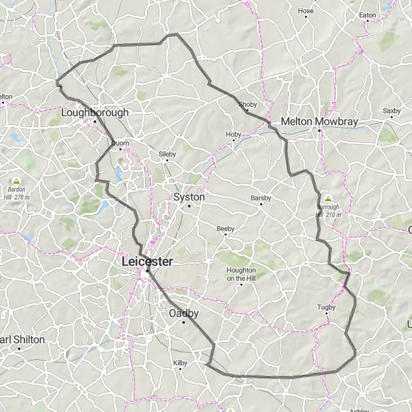
Embark on a thrilling ride from Normanton on Soar to Oadby, passing through stunning landscapes and captivating towns.
Prepare yourself for an exhilarating 111-kilometer road cycling adventure from Normanton on Soar to Oadby. With a difficulty level of 5, this route is suited for experienced cyclists looking for a challenging and unforgettable journey. The total ascent of 873 meters will push your limits and reward you with breathtaking views along the way. Highlights include Normanton on Soar, Willoughby on the Wolds, Kirby Bellars, Loddington, Tur Langton, Oadby, Quorn, and Bellevue Hill.
Cycling routes nearby:


Nearby regions: