Cycling haven in the heart of England
Cycling routes from Loughborough
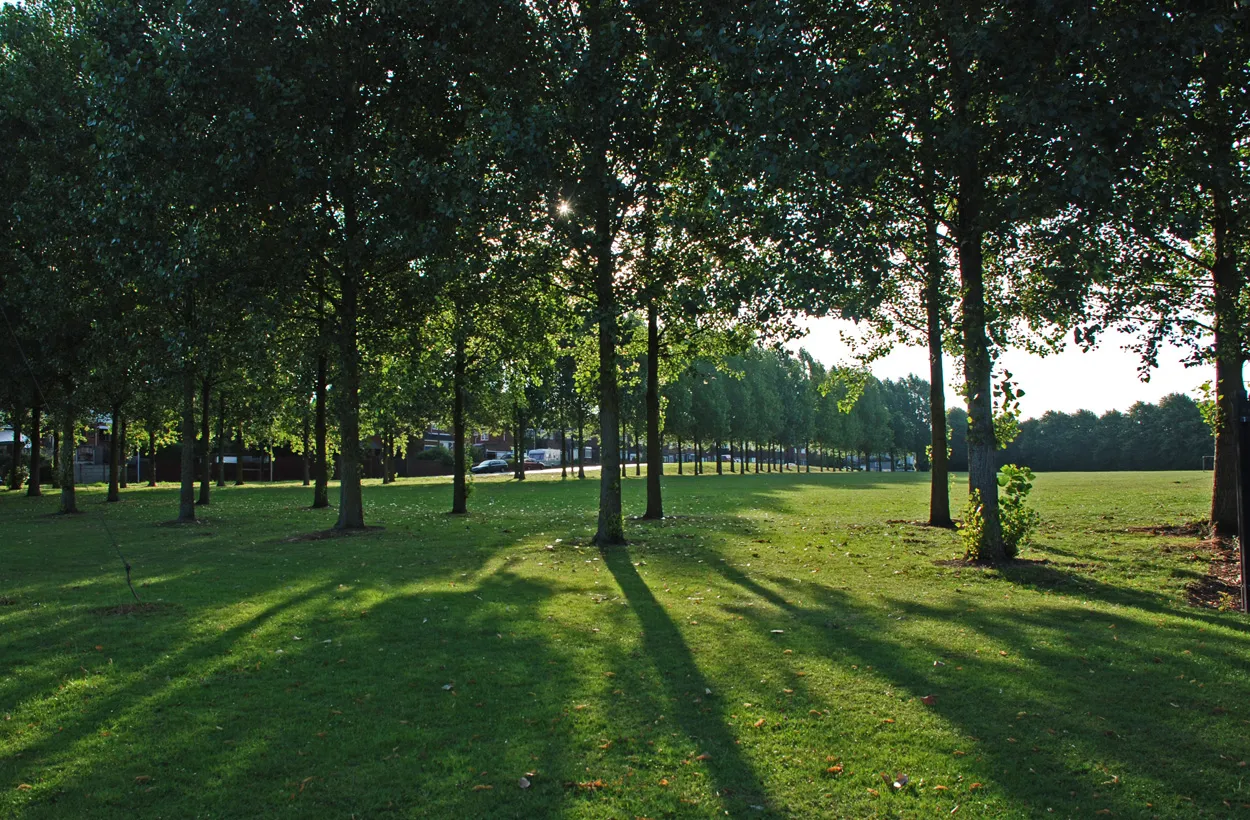
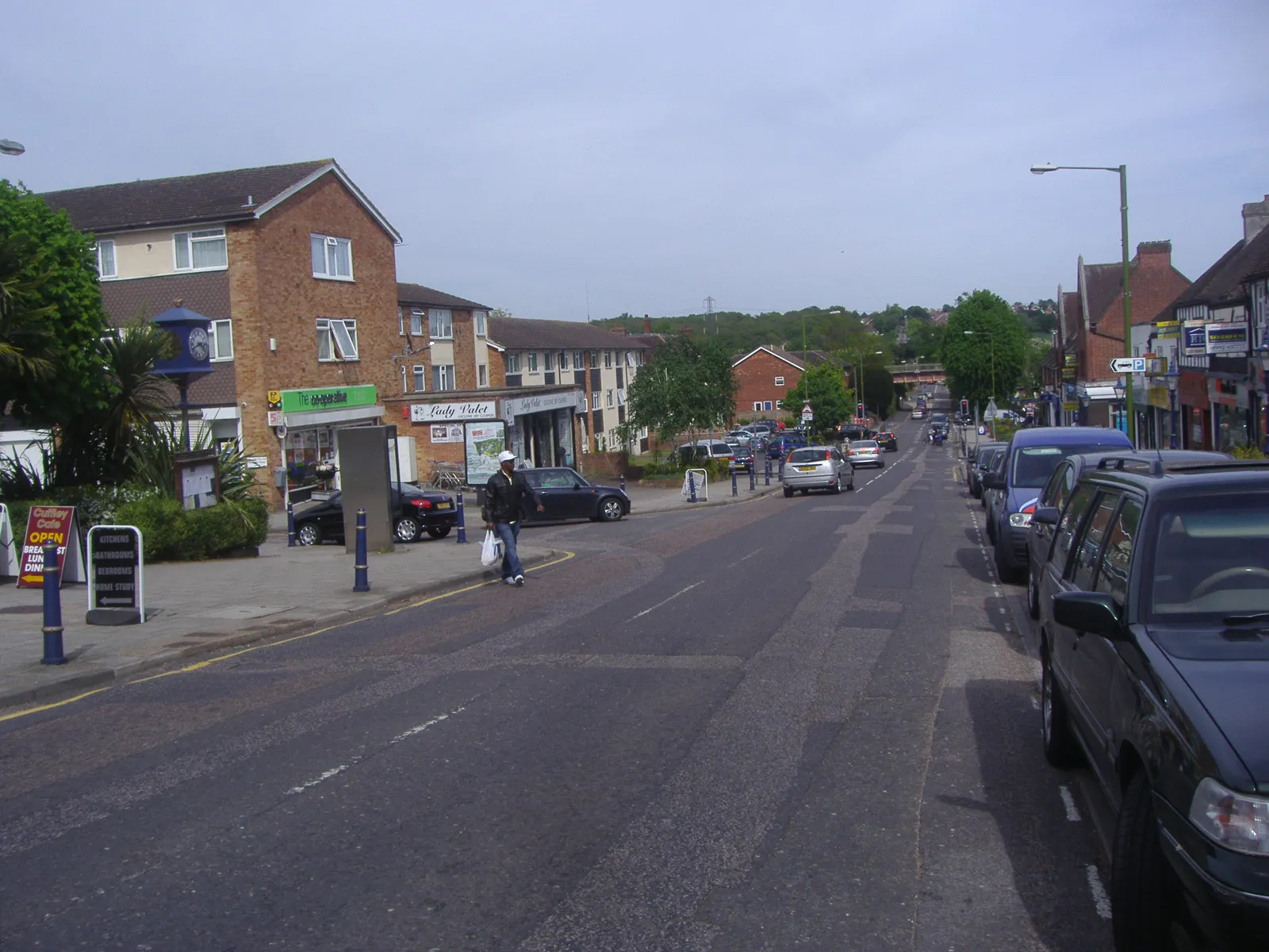
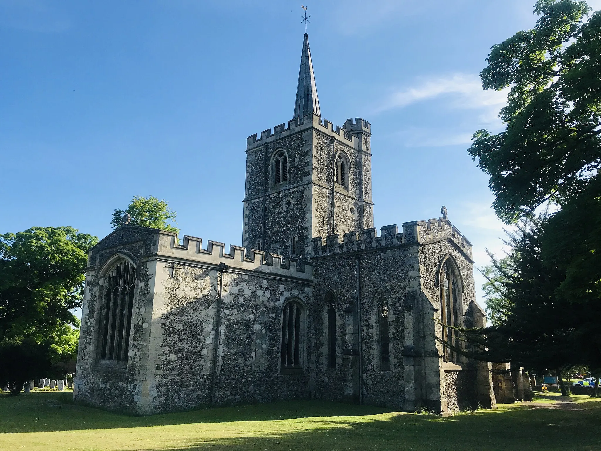
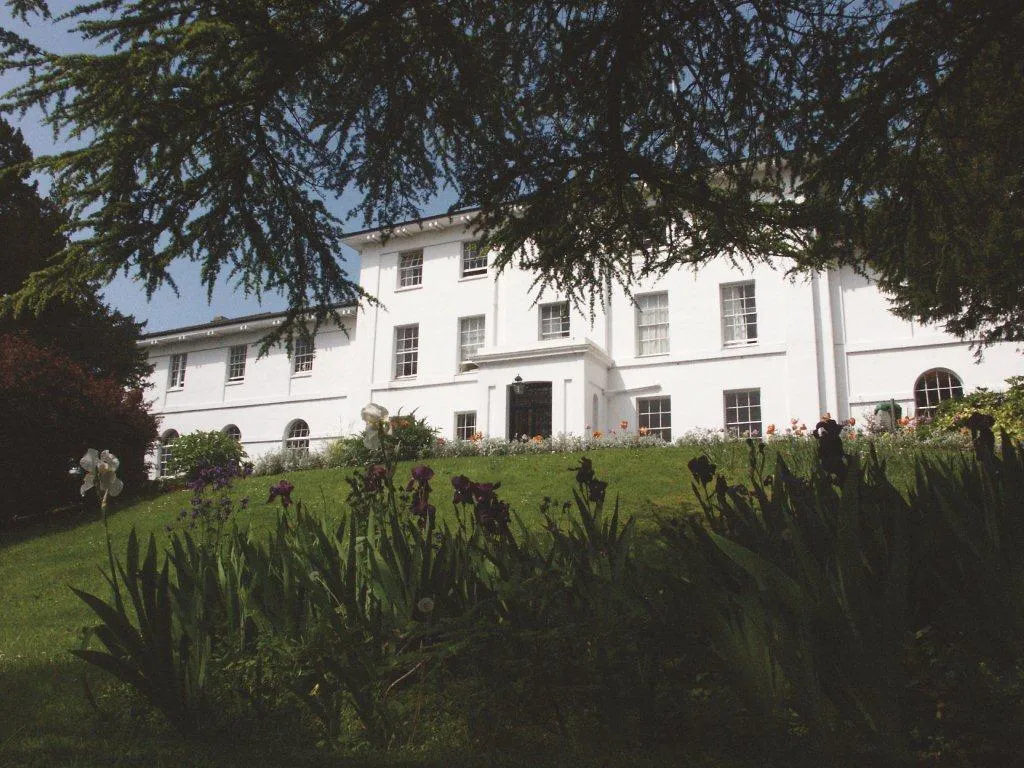
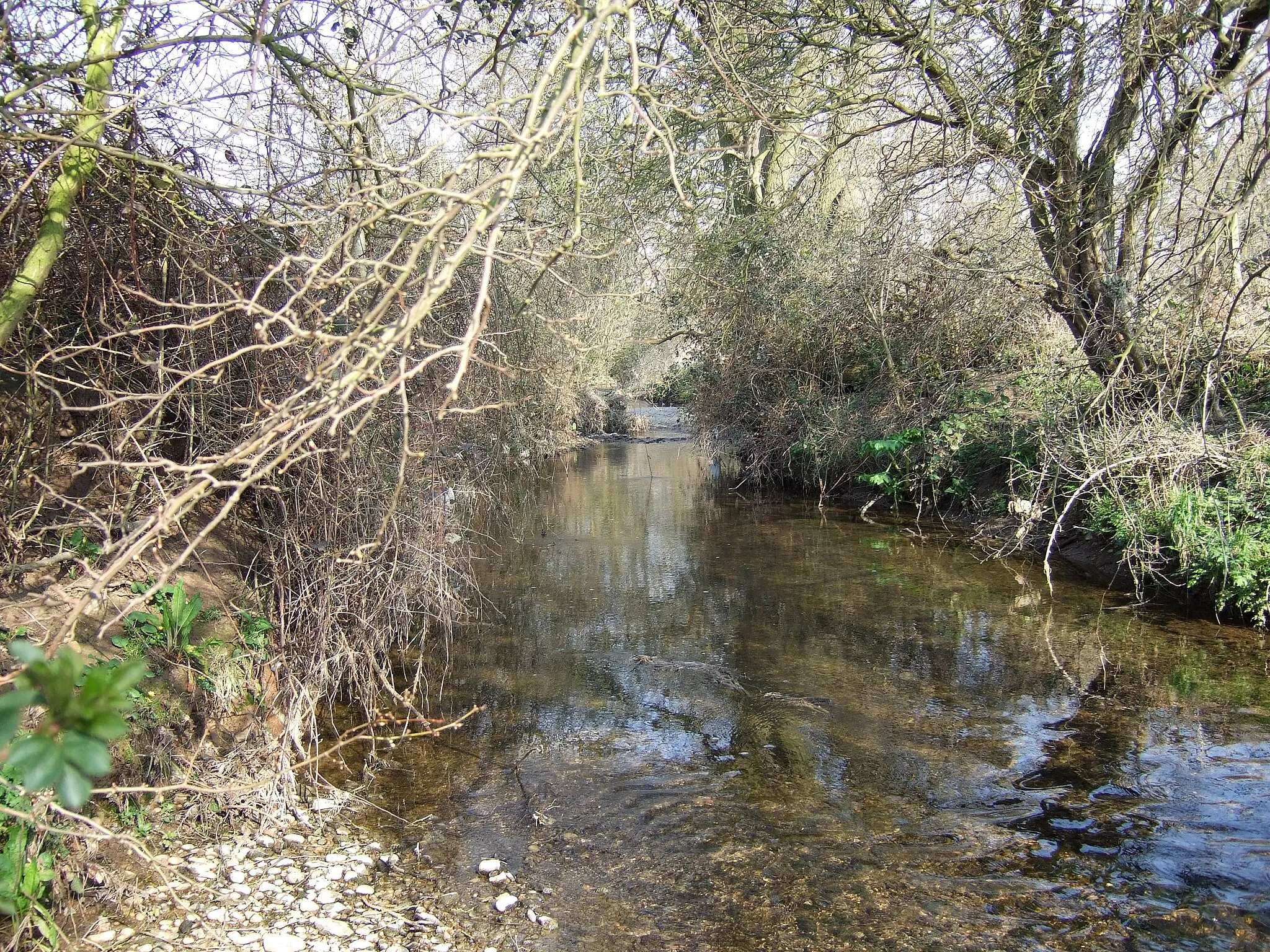
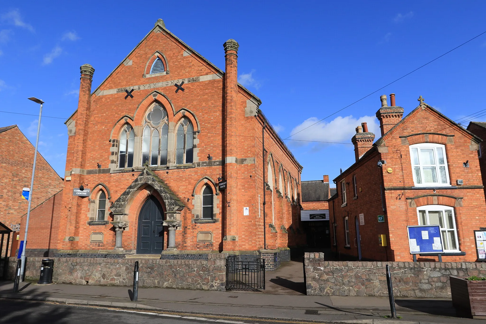
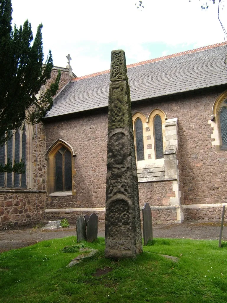
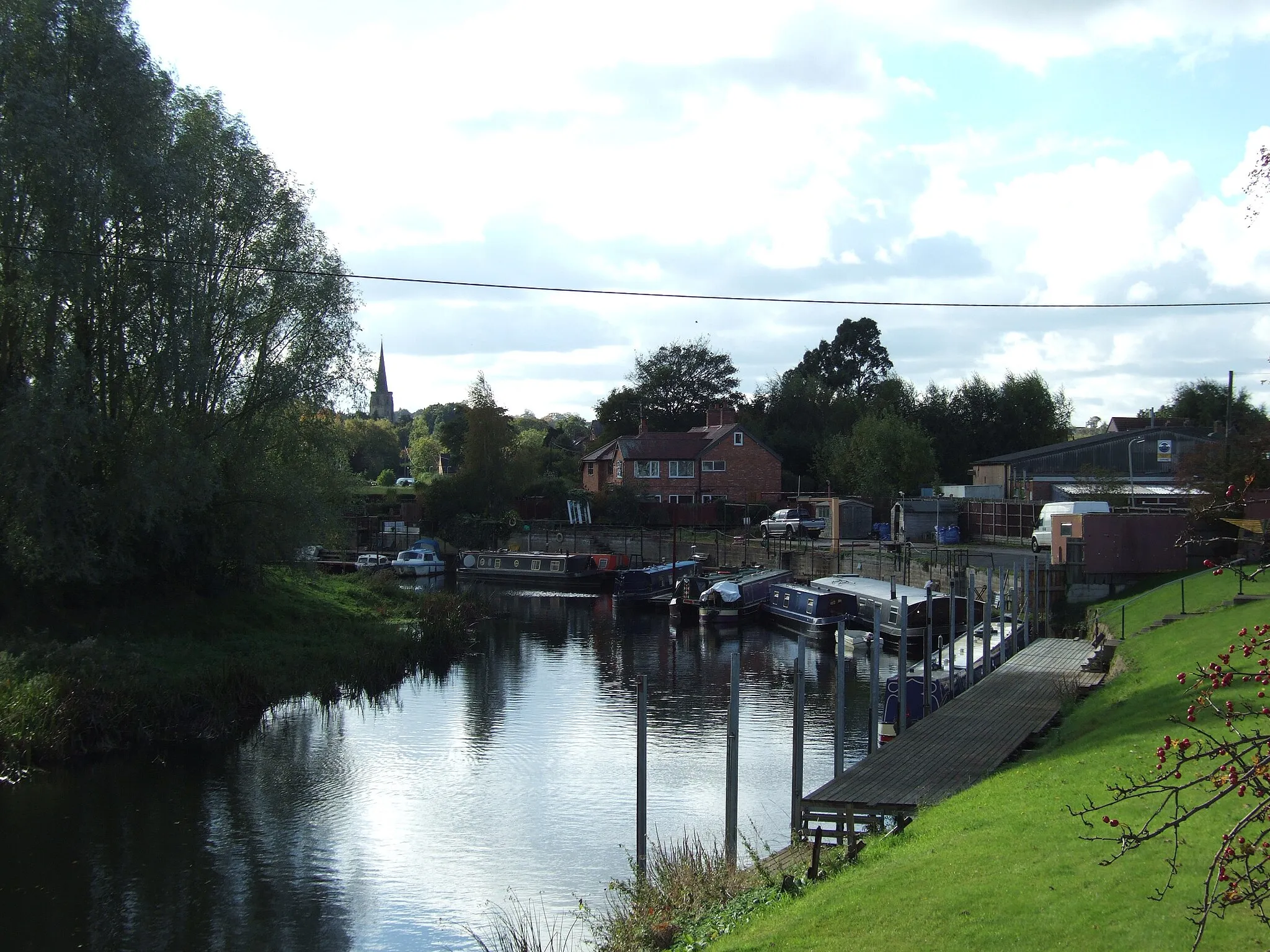
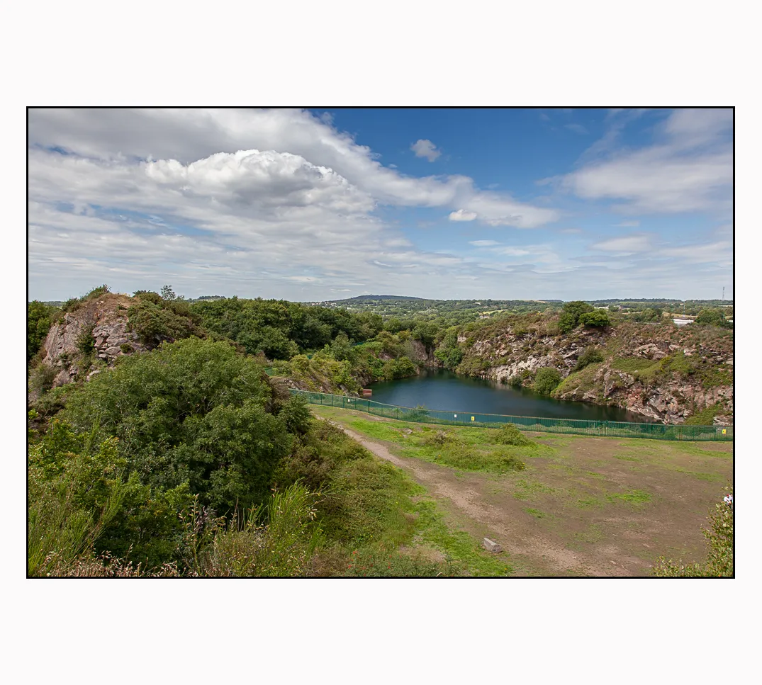
Loughborough, situated in Leicestershire, Rutland and Northamptonshire, United Kingdom, is a cyclist's paradise. The region offers a diverse range of cycling routes, including rolling hills, picturesque countryside, and challenging climbs. One famous cycling spot nearby is the Rutland Water, which features a stunning reservoir and a network of cycling paths. The roads in Loughborough are well-suited for cycling, with good infrastructure and minimal traffic. Whether you're a road cyclist or a gravel enthusiast, Loughborough has something to offer for every type of cyclist.
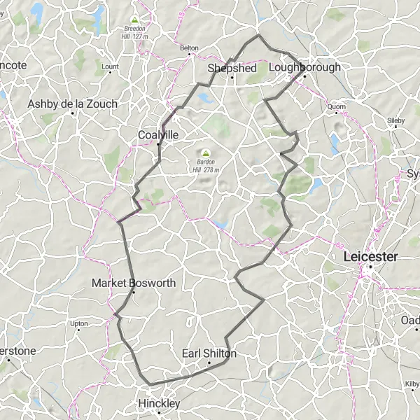
Embark on this exciting road cycling adventure from Old John to Shepshed and immerse yourself in the rich history and charming landscapes of Leicestershire.
Covering a distance of 80 km with an ascent of 685 meters, this road cycling route is best suited for well-trained amateurs seeking a rewarding challenge. Highlights include Old John, Earl Shilton, Market Bosworth, Shepshed, and the Tesco Shelter.

Embark on a scenic gravel adventure through the picturesque landscapes of Leicestershire and Nottinghamshire.
This 86 km gravel cycling route takes you through the charming countryside of Leicestershire and Nottinghamshire. You'll experience diverse terrain, stunning scenery, and several historical highlights along the way. The route offers a mix of challenging climbs and speedy descents, providing a thrilling ride for well-trained amateur cyclists. From the towering Bennerley Viaduct to the charming village of Morley, this gravel adventure is packed with interesting sights.

Embark on a challenging road cycling adventure through Leicestershire and beyond!
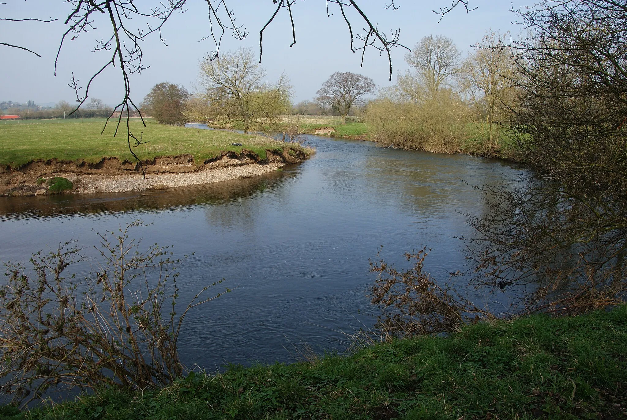
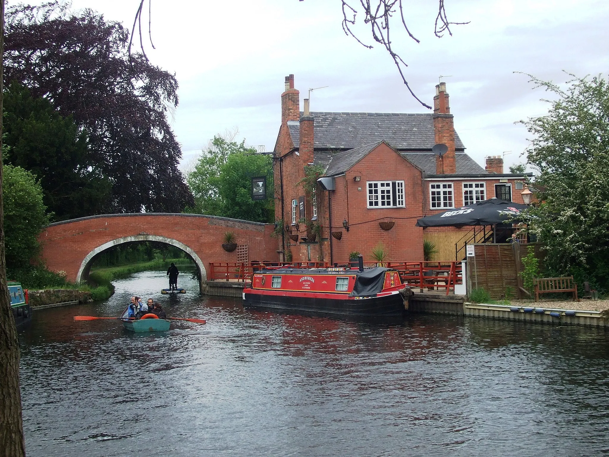
This road cycling route starting near Loughborough offers a thrilling challenge for seasoned cyclists. With 360 meters of ascent and a distance of 73 kilometers, be prepared for a mix of rolling hills and scenic countryside. Starting in Loughborough, the route takes you through Stanford on Soar, known for its picturesque canal and beautiful countryside views. After a short ride, you'll arrive in Ruddington, a quaint village with historical charm. As you continue, you'll pass through Radcliffe-on-Trent, offering stunning views of the River Trent. Heading towards Upper Broughton, get ready for some challenging climbs. The final stretch takes you through Quorn, where you can enjoy a well-deserved break after an exhilarating ride.
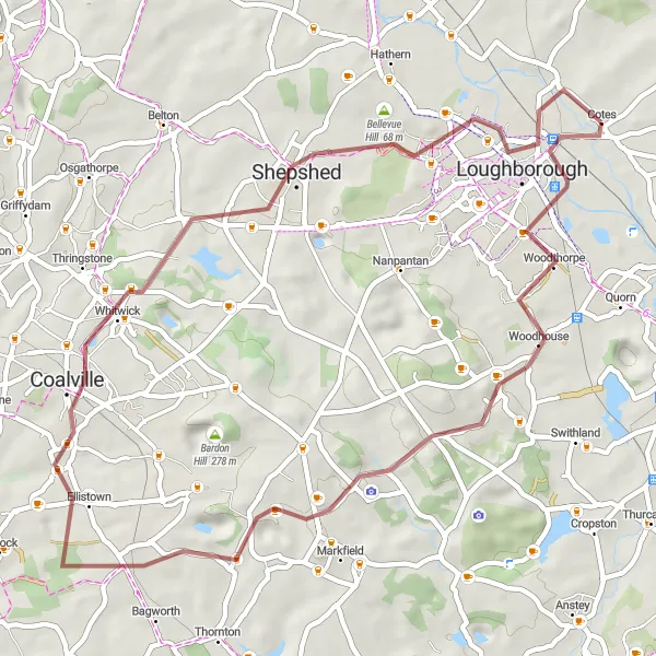
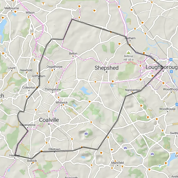
Embark on this thrilling gravel cycling adventure from Black Hill to Stanford on Soar and experience the diverse landscapes of Leicestershire.
Covering a distance of 48 km with an ascent of 466 meters, this gravel cycling route is suitable for amateur off-road cyclists. Highlights include Black Hill, Whitwick, Shepshed, Bellevue Hill, and Stanford on Soar.
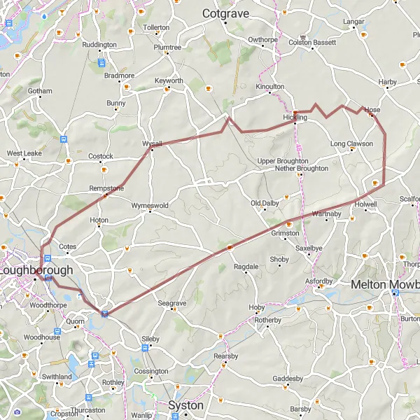
Experience picturesque villages and scenic landscapes along this gravel cycling route from Wysall to Barrow upon Soar.
Explore the charming villages of Wysall, Hose, Ab Kettleby, and Barrow upon Soar on this 57 km long gravel cycling route. With a total ascent of 307 meters, this route offers rolling hills and beautiful countryside views. It is suitable for amateur cyclists who are comfortable riding off-road.
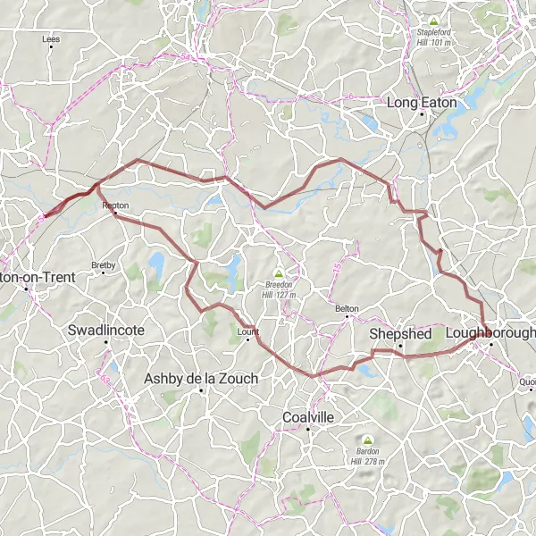
Experience the thrill of off-road cycling as you explore the scenic landscapes from Shepshed to Weston-on-Trent.
This gravel cycling route spans 79 km and offers 331 meters of ascent. It is suitable for amateur cyclists with off-road riding experience. Highlights of this route include Shepshed, Calke, Willington, Weston-on-Trent, Kegworth, and the Tesco Shelter.
Immerse yourself in picturesque countryside on this road cycling route near Loughborough!
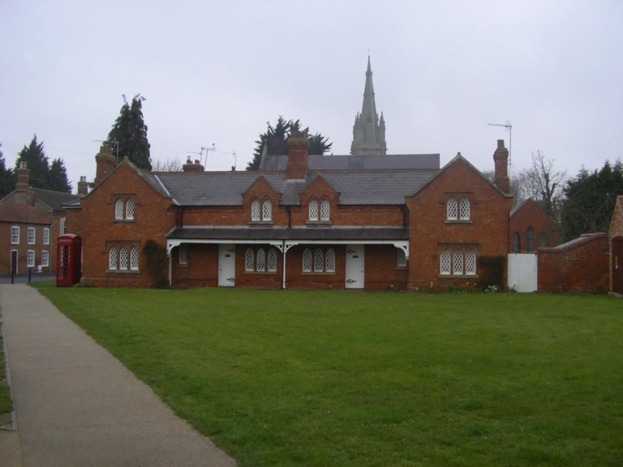
Get ready for a picturesque ride through the beautiful countryside near Loughborough. With a total ascent of 335 meters and a distance of 48 kilometers, this route offers a scenic and relatively gentle ride suitable for cyclists of all levels. Starting near Loughborough, you'll pass through Nanpantan, a charming village known for its natural beauty and stunning views. As you continue, you'll ride past Charley Knoll, where you can enjoy panoramic vistas of the surrounding countryside. Heather is another highlight along the route, with its peaceful ambiance and quaint atmosphere. Finally, make sure to stop at the viewing point for breathtaking views before heading on to Diseworth, a delightful village surrounded by rolling hills and tranquil landscapes.
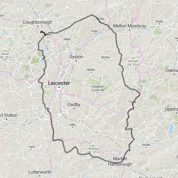
Experience the scenic beauty of Leicestershire and Northamptonshire on this road cycling route!
This scenic road cycling route starting near Loughborough is perfect for riders seeking spectacular views and challenging climbs. With an ascent of 879 meters and a distance of 117 kilometers, be prepared for a tough ride through breathtaking landscapes. Starting in Loughborough, the route takes you through the idyllic village of Shoby, offering peaceful country lanes and charming farmhouses. As you venture further, you'll reach Tilton on the Hill, known for its panoramic views of the rolling hills. Don't miss the opportunity to visit Great Bowden, a quaint village with a beautiful church and friendly atmosphere. The ride concludes in Glenfield, a historic village with picturesque streets and stunning views of the Leicestershire countryside.
Loughborough Gravel Adventure
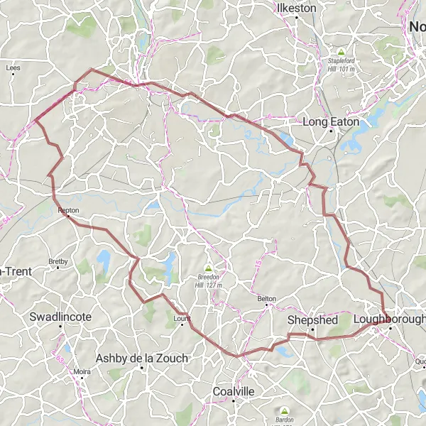
Get ready for an epic gravel adventure starting near Loughborough!
This round-trip cycling route is perfect for gravel enthusiasts looking for a challenging and scenic ride near Loughborough. With a total ascent of 410 meters and a distance of 82 kilometers, this route will take you through stunning landscapes and picturesque villages. The route starts in Loughborough and passes through Shepshed, where you can take a break and explore the local sites. From there, you will ride to Ticknall, known for its beautiful gardens and historic houses. Heading towards Derby, you'll enjoy a mix of fast dirt roads and quiet country lanes. Don't forget to stop by the Tesco Shelter at the end of your journey!

Embark on a challenging road cycling route from Charley Knoll to Bellevue Hill and experience the thrill of conquering steep climbs and fast descents.
This road cycling route spans 78 km and features 675 meters of ascent. It is suited for well-trained amateurs looking for a challenging ride. Highlights of this route include Charley Knoll, Coalville, Castle Gresley, Bretby, Donington Park, Hathern, and Bellevue Hill.
Cycling routes nearby:
Nearby regions: