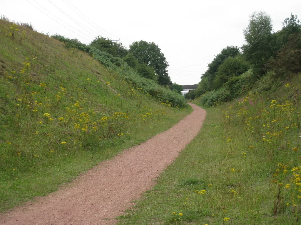
A Perfect Blend of Urban and Rural Cycling
Cycling routes from Narborough
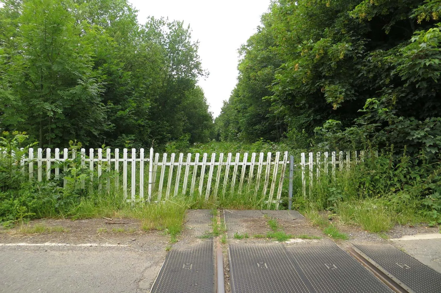
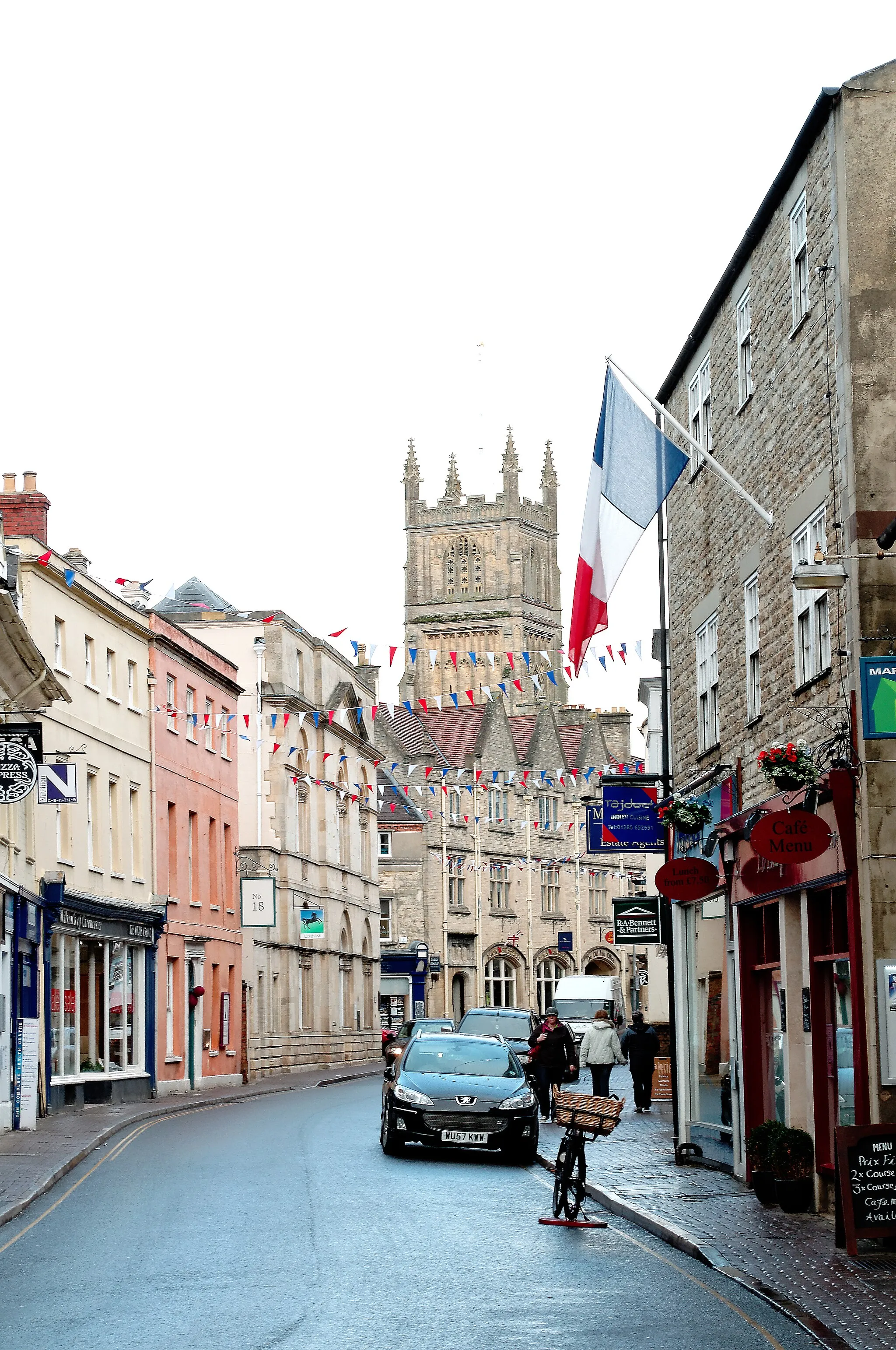
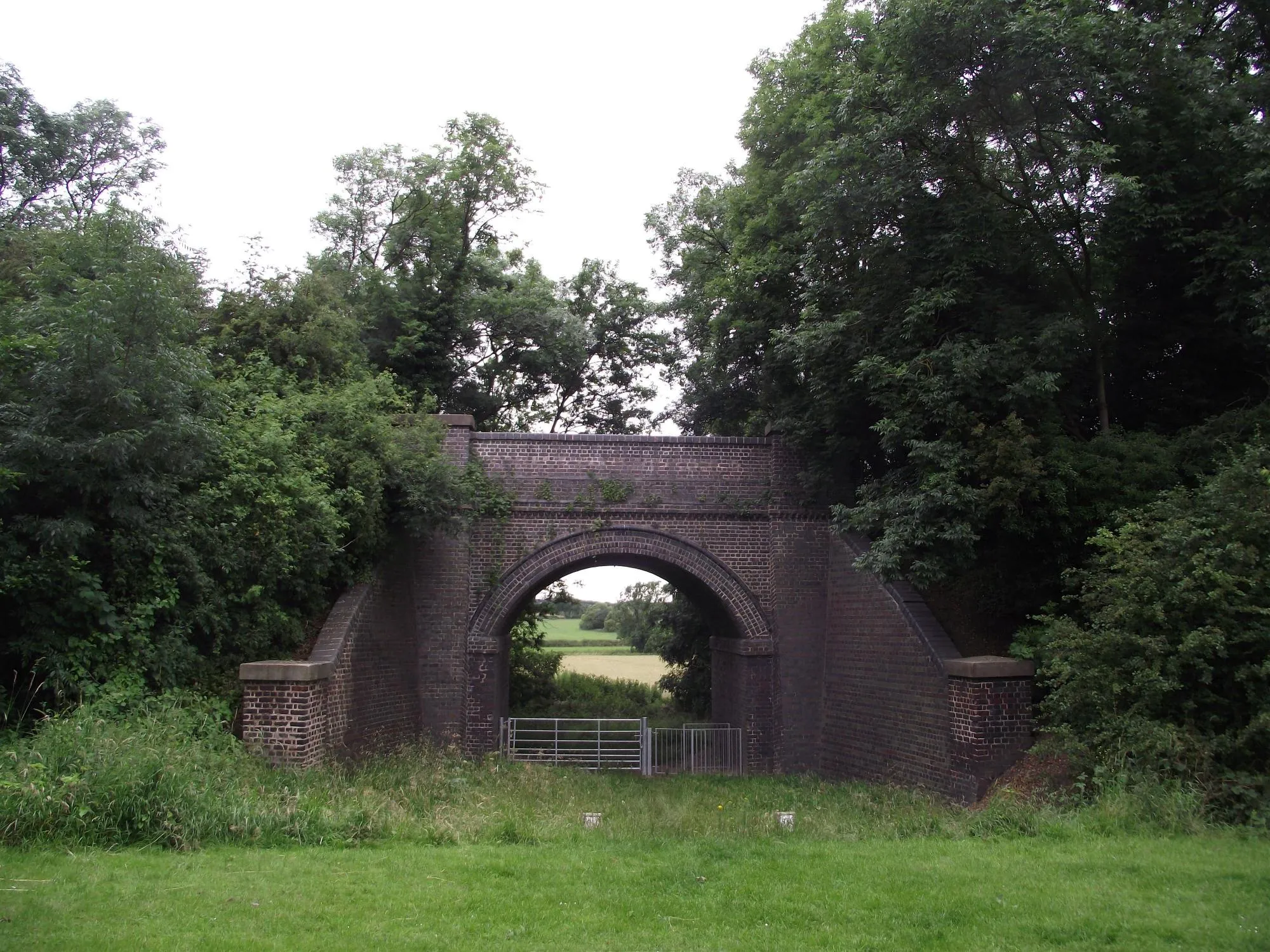
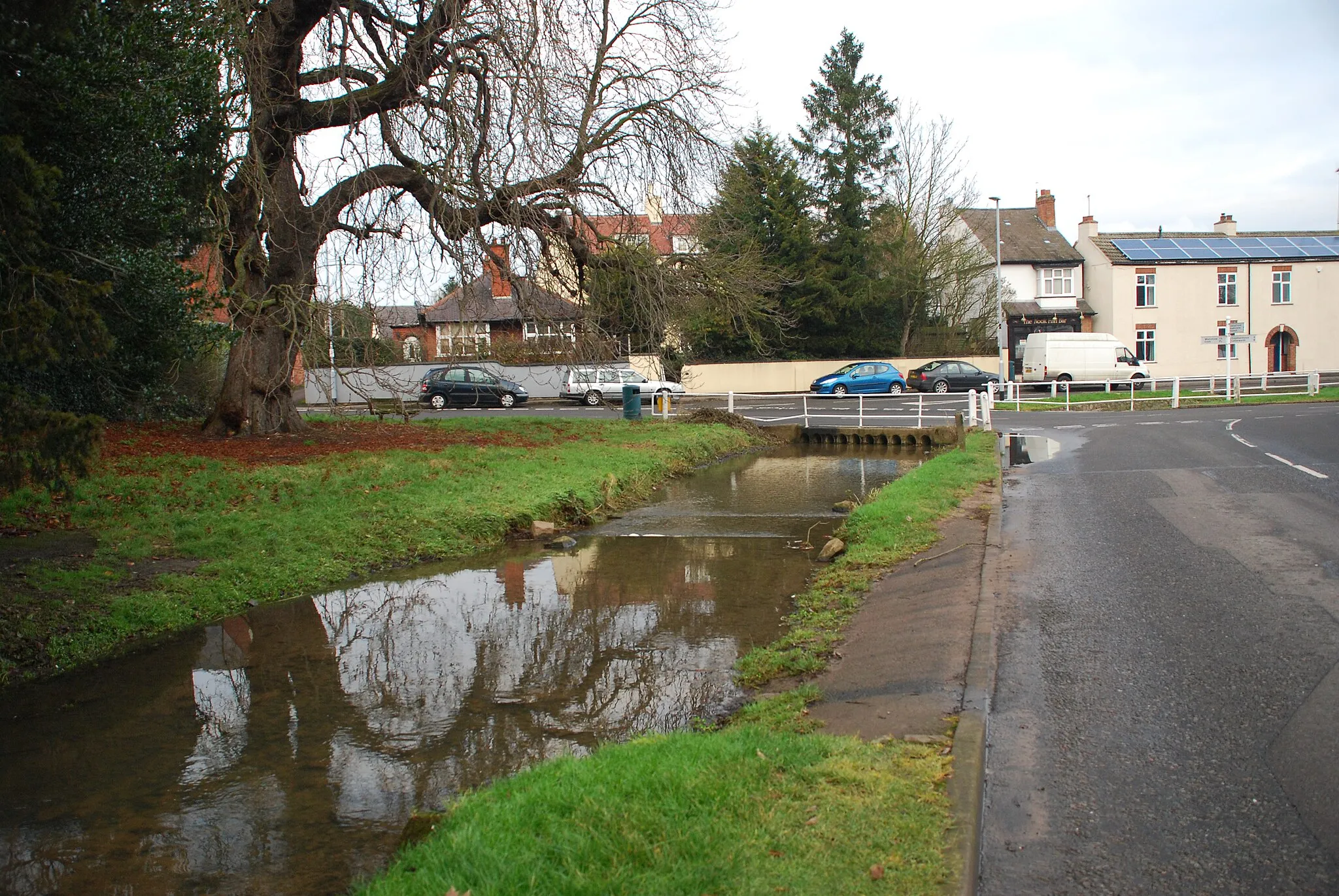
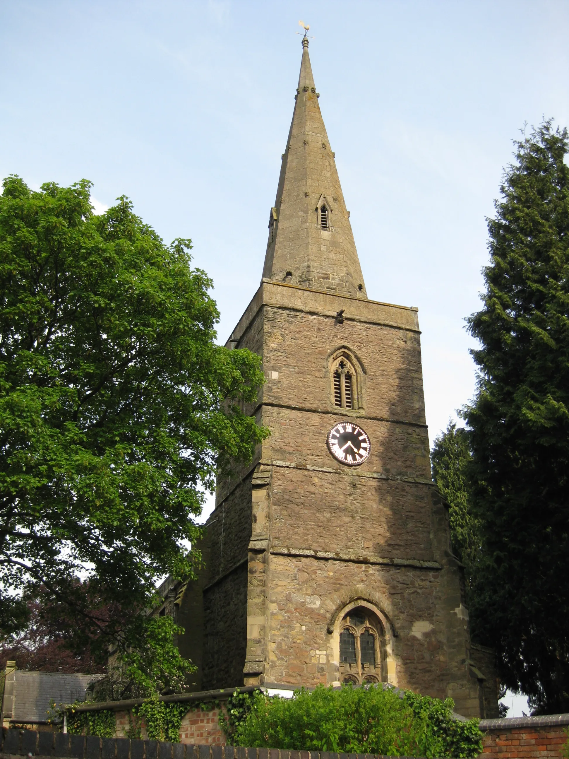
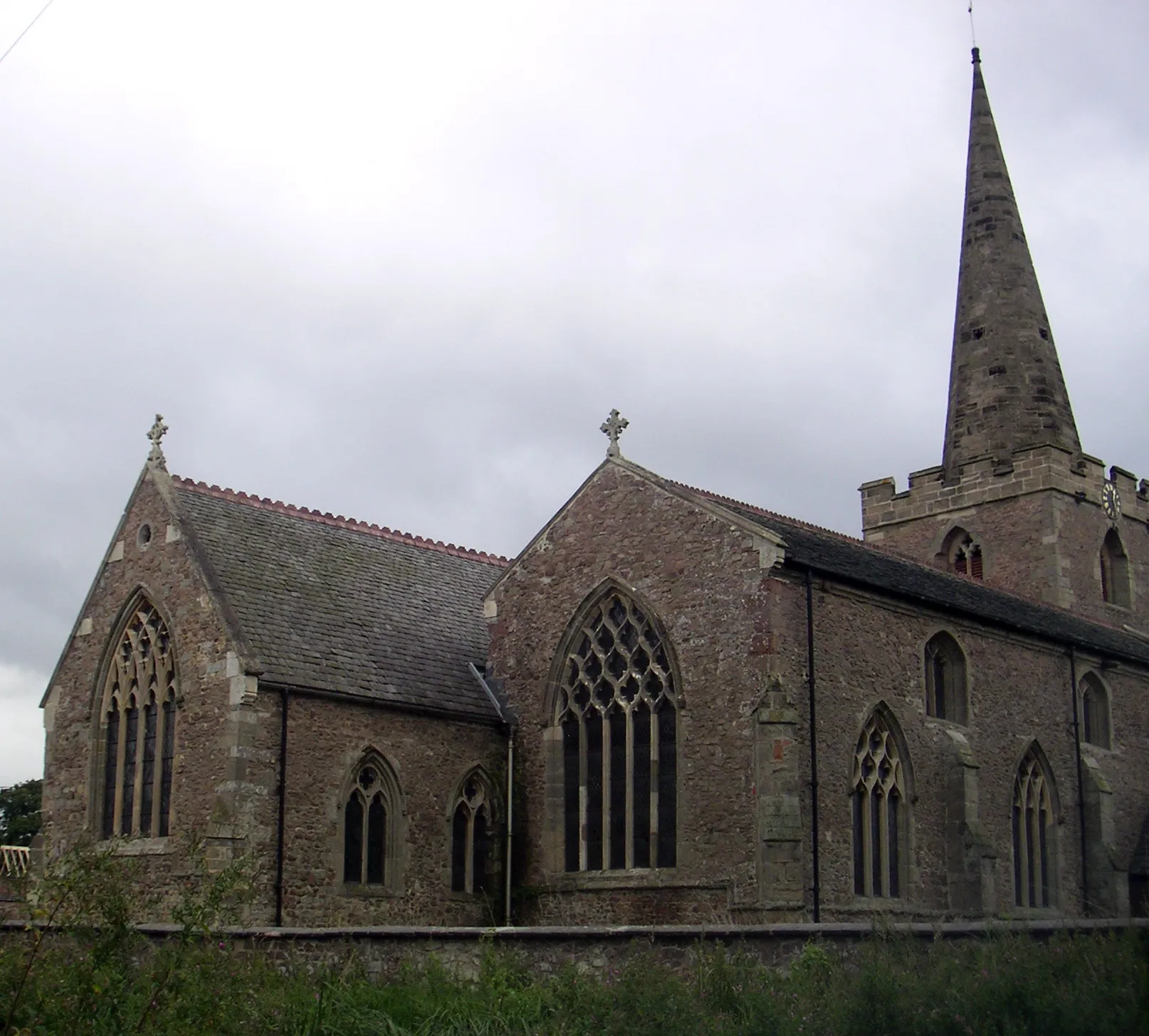
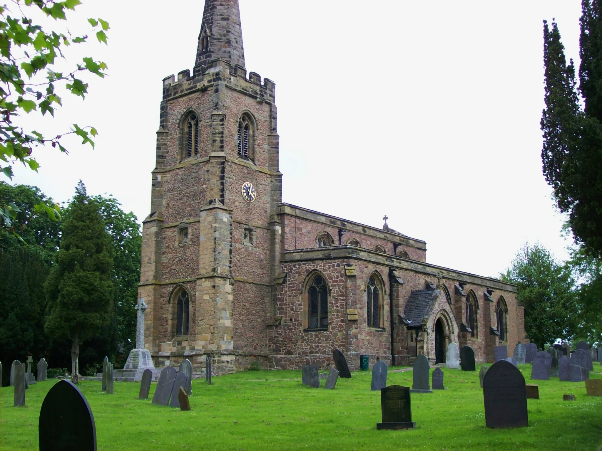
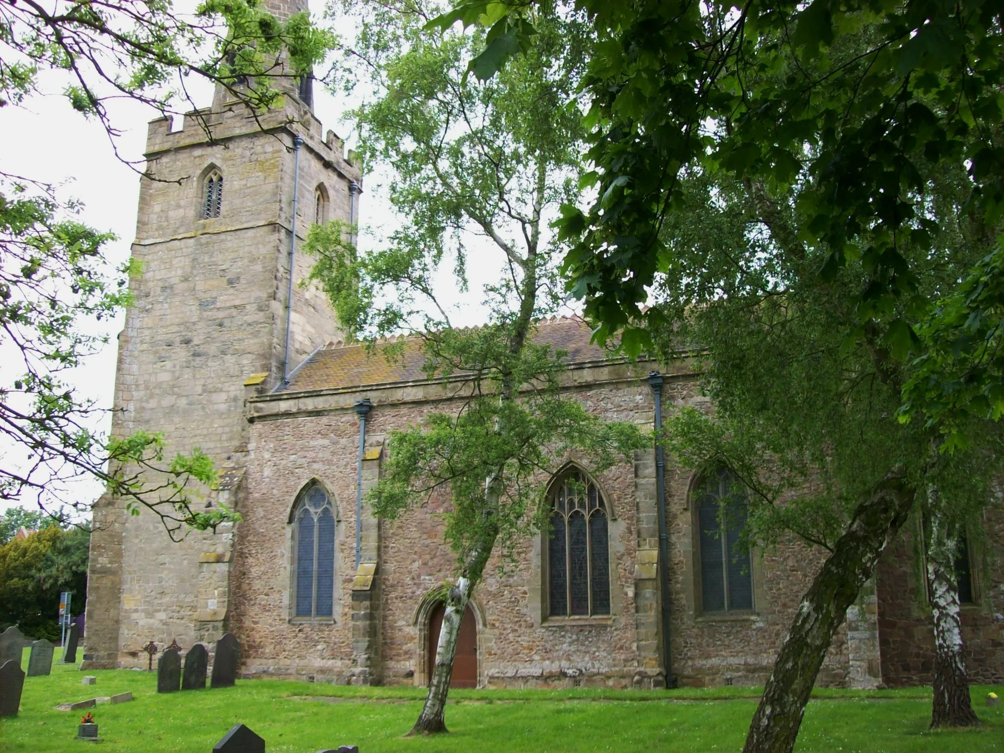
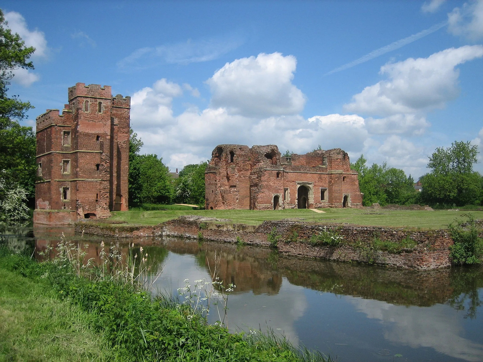
Narborough, situated in Leicestershire, Rutland and Northamptonshire region of the United Kingdom, offers a mix of urban and rural cycling experiences. Cyclists can explore the surrounding countryside and enjoy peaceful rides along quiet country lanes. There are also plenty of opportunities to challenge oneself with hilly terrains in the nearby areas. One notable cycling spot is the 'Narborough Road Route' which takes riders through scenic landscapes and allows them to explore unique landmarks along the way. Narborough also has a strong cycling community and hosts regular cycling events and races that attract both locals and tourists.
Picturesque Countryside Ride
Experience the beauty of the Warwickshire countryside on this road cycling route.
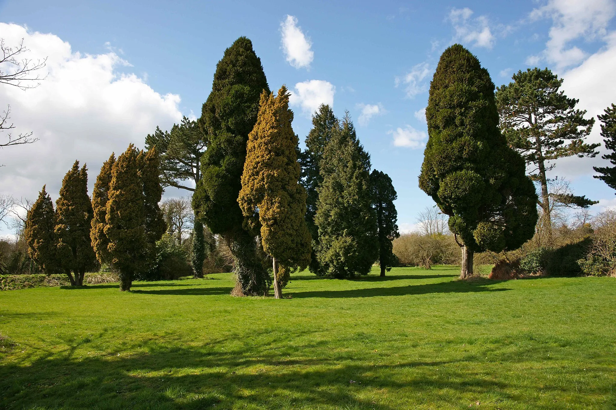
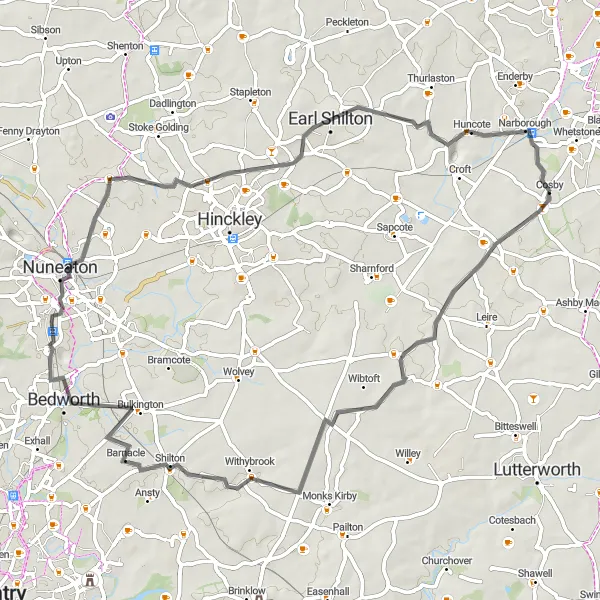
Embark on a delightful 63-kilometer road cycling route through the picturesque countryside of Warwickshire. Starting near Narborough, this route offers stunning views of the region's rolling hills and captivating landscapes. With a total ascent of 337 meters, it provides a moderate challenge suitable for well-trained amateurs. The route takes you through Frolesworth, Withybrook, Bedworth, Nuneaton, and Huncote, showcasing the tranquility and charm of Warwickshire. Enjoy the peacefulness of the countryside as you pedal along the smooth roads, surrounded by green fields and idyllic scenery. This ride is a true immersion in the beauty of nature and the rural allure of Warwickshire.
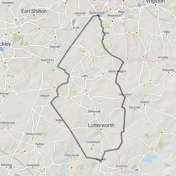
An enjoyable road cycling loop with a mix of flat sections and gentle climbs.
Explore the countryside surrounding Narborough with this scenic road cycling loop. Covering a distance of 45 km and ascending 232 meters, this route is perfect for road cyclists looking for a balanced and enjoyable ride. The Gilmorton Road Loop combines picturesque landscapes, charming villages, and idyllic country roads. Cyclists will experience a moderate level of challenge, making it suitable for well-trained and experienced amateurs.
Escape to the tranquil beauty of Rutland on this gravel cycling route.
Embark on a scenic gravel ride through the stunning landscapes of Rutland. This 74-kilometer route offers a peaceful escape from the bustling city life. With a total ascent of 367 meters, it provides a mix of challenging terrain and smooth gravel roads. Starting near Narborough, you'll pass by highlights such as The Demostaph, Leicester, Kirby Bellars, Barsby, and Newton Harcourt. Rutland's rolling hills and serene lakes will surely captivate your senses. Whether you're a gravel bike enthusiast or a nature lover, this route promises a delightful experience in the heart of England's countryside.
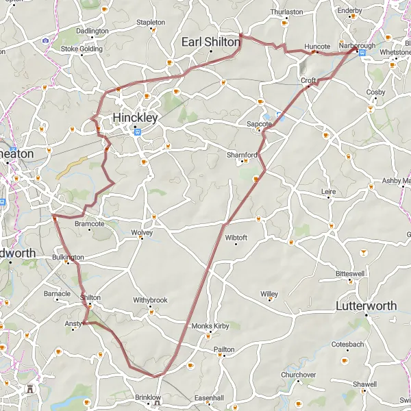
The Hinckley Loop
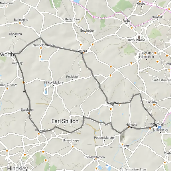
Explore the charming villages and rolling countryside of Leicestershire on this picturesque cycling route.
The Hinckley Loop is a 37-kilometer road cycling route that starts near Narborough, taking you through the scenic landscapes of Leicestershire. With a total ascent of 208 meters, this route offers a moderate challenge suitable for well-trained amateur cyclists. The Hinckley Loop showcases the beauty of the region, with its distinctive villages and tranquil countryside. It provides a unique opportunity to immerse yourself in the charm and character of rural Leicestershire.
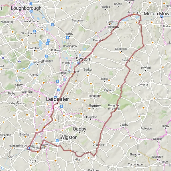
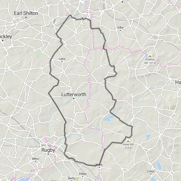
Take on the challenge of crossing two counties on this diverse road cycling route.
This 105-kilometer road cycling route offers a challenging and diverse ride from Leicestershire to Northamptonshire. With a total ascent of 804 meters, it is suitable for well-trained amateurs looking for an exciting challenge. Starting near Narborough, you'll pass through the city of Leicester, Gaulby, East Carlton, Rothwell, Haselbech, Gilmorton, and Narborough. This route combines steep climbs, fast descents, and picturesque countryside roads. It offers breathtaking views and a chance to experience the historic and cultural landmarks in both counties. Challenge yourself and explore the diverse landscapes and attractions of Leicestershire and Northamptonshire on this stunning ride.
Bike through the picturesque countryside of Leicestershire and Northamptonshire.
This route takes you on a scenic journey through Leicestershire and Northamptonshire, offering beautiful views of the countryside and rolling hills. It starts near Narborough and covers a distance of 75 kilometers with a total ascent of 416 meters. The route is suitable for road bikes and provides a great mix of challenging climbs and smooth descents. Along the way, you'll pass through charming villages such as Countesthorpe, South Kilworth, Yelvertoft, Cracks Hill, Ullesthorpe, and Narborough. This loop offers cyclists a chance to explore the rural landscapes and enjoy the peaceful atmosphere of the region.
The Peckleton Gravel Adventure

Embark on a gravel adventure exploring the rural landscapes of Leicester, Rutland, and Northamptonshire.
Experience the thrill of gravel cycling with the Peckleton Gravel Adventure. This 45 km route with an ascent of 203 meters takes you through stunning countryside, charming villages, and remote gravel trails. With a moderate level of difficulty, this gravel ride caters to the needs of well-trained amateurs seeking an adventurous journey. The route offers a diverse terrain with rolling hills, gravel tracks, and breathtaking views.
The Sapcote Gravel Ride
A thrilling gravel route taking you through various villages, with scenic views and moderate climbs.
This distinctive gravel route starting near Narborough explores the picturesque countryside of Leicestershire, Rutland, and Northamptonshire. With a total distance of 58 km and an ascent of 264 meters, this ride offers a thrilling adventure suitable for gravel bike enthusiasts. The route passes through charming villages and offers scenic views along the way. It provides a moderate challenge, making it suitable for well-trained amateur cyclists.
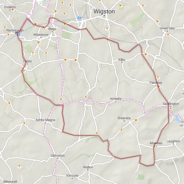
Embark on a delightful gravel adventure through Leicestershire's scenic landscapes.
If you're looking for a shorter gravel adventure, this 42-kilometer route starting near Narborough is the perfect choice. It offers a scenic ride through Leicestershire, with a total ascent of 194 meters. As you pedal along the gravel roads, you'll pass through the picturesque villages of Kilby, Mowsley, and Bruntingthorpe. These charming villages offer a glimpse into Leicestershire's rural beauty. The route provides a mix of gentle climbs and beautiful countryside vistas, making it suitable for riders of varying skill levels. Enjoy the peacefulness of the surroundings and the simplicity of a shorter escapade into nature.
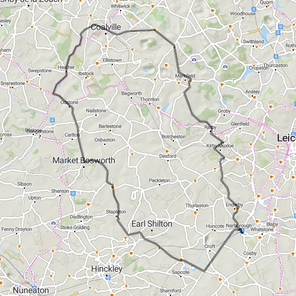
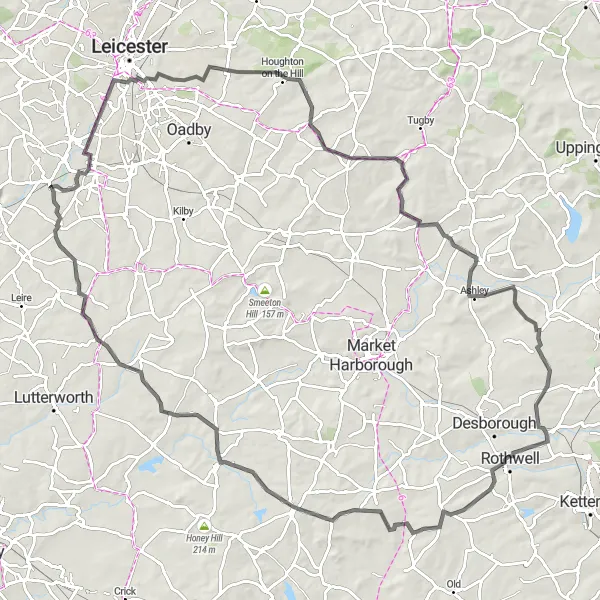
A challenging road cycling route with significant climbs and rewarding descents.
Prepare for a challenging and rewarding cycling experience with the Market Bosworth Challenge. This 65 km road route features an ascent of 459 meters, taking you through stunning landscapes, charming villages, and testing climbs. While suitable for well-tested amateurs with good fitness levels, this route presents a solid challenge with varying terrain. Cyclists can enjoy thrilling descents and take in breathtaking views along the way.
Cycling routes nearby:

Nearby regions: