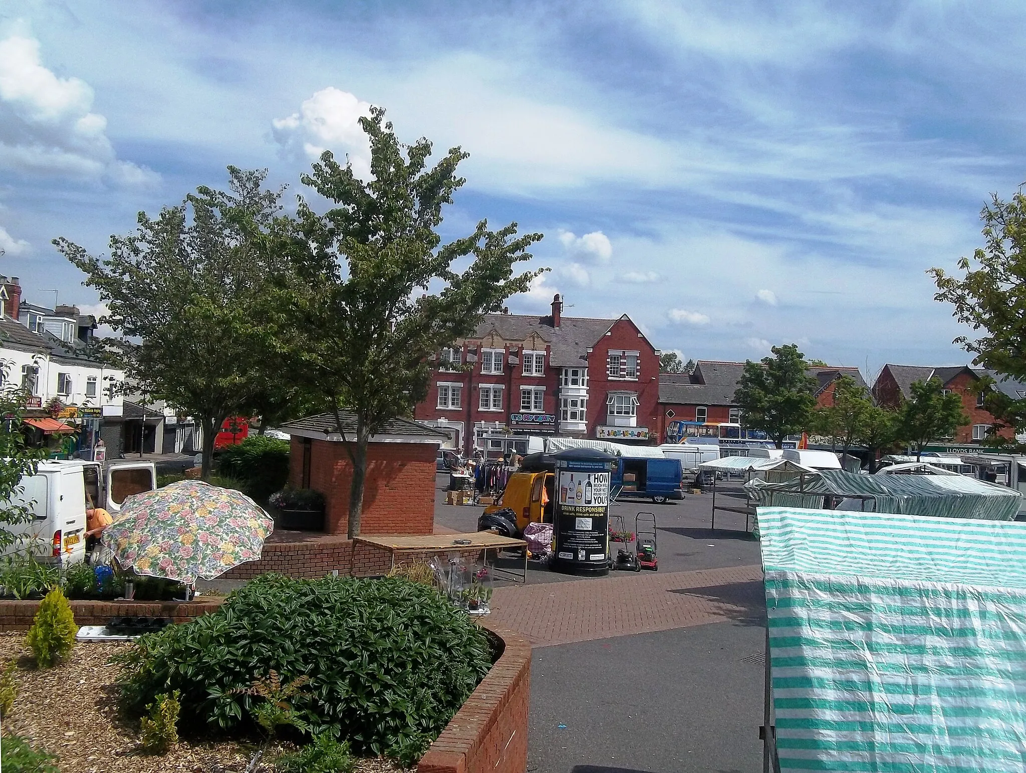
Picturesque countryside routes make Sapcote an idyllic base for cyclists in Leicestershire, Rutland, and Northamptonshire.
Cycling routes from Sapcote
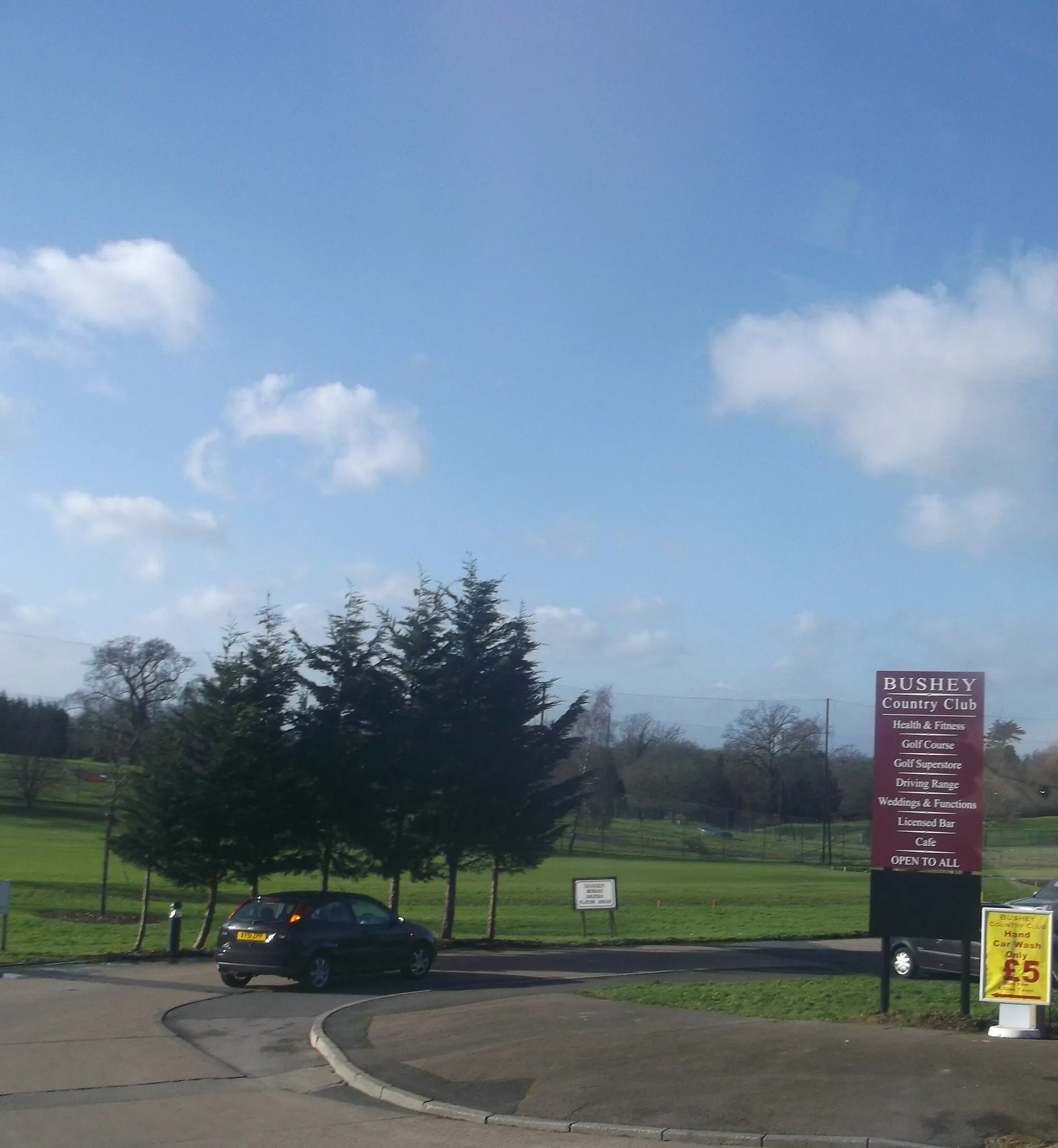
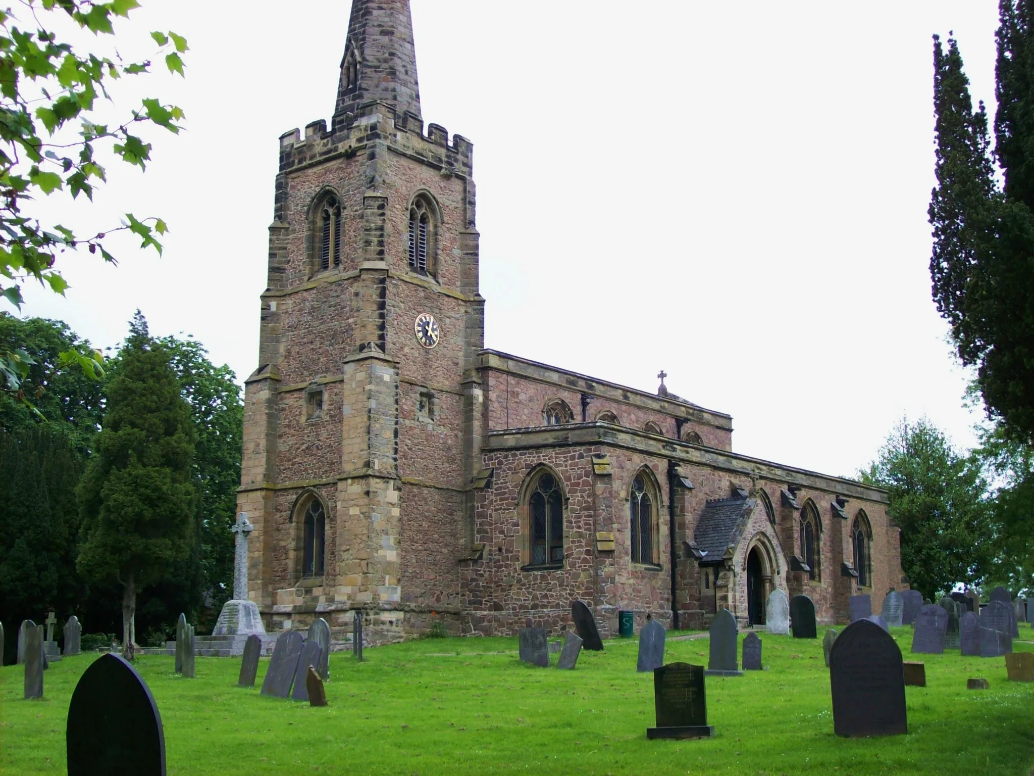
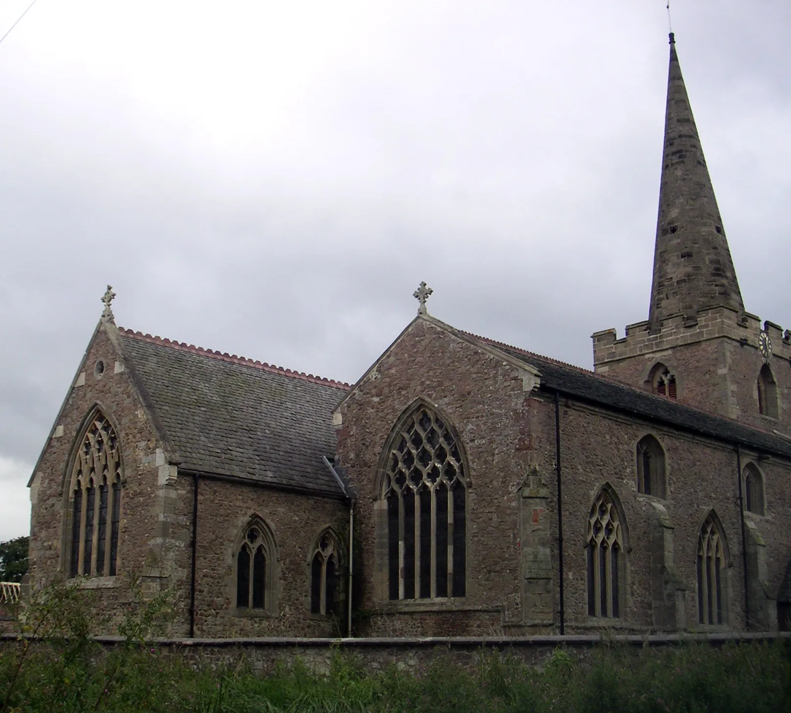
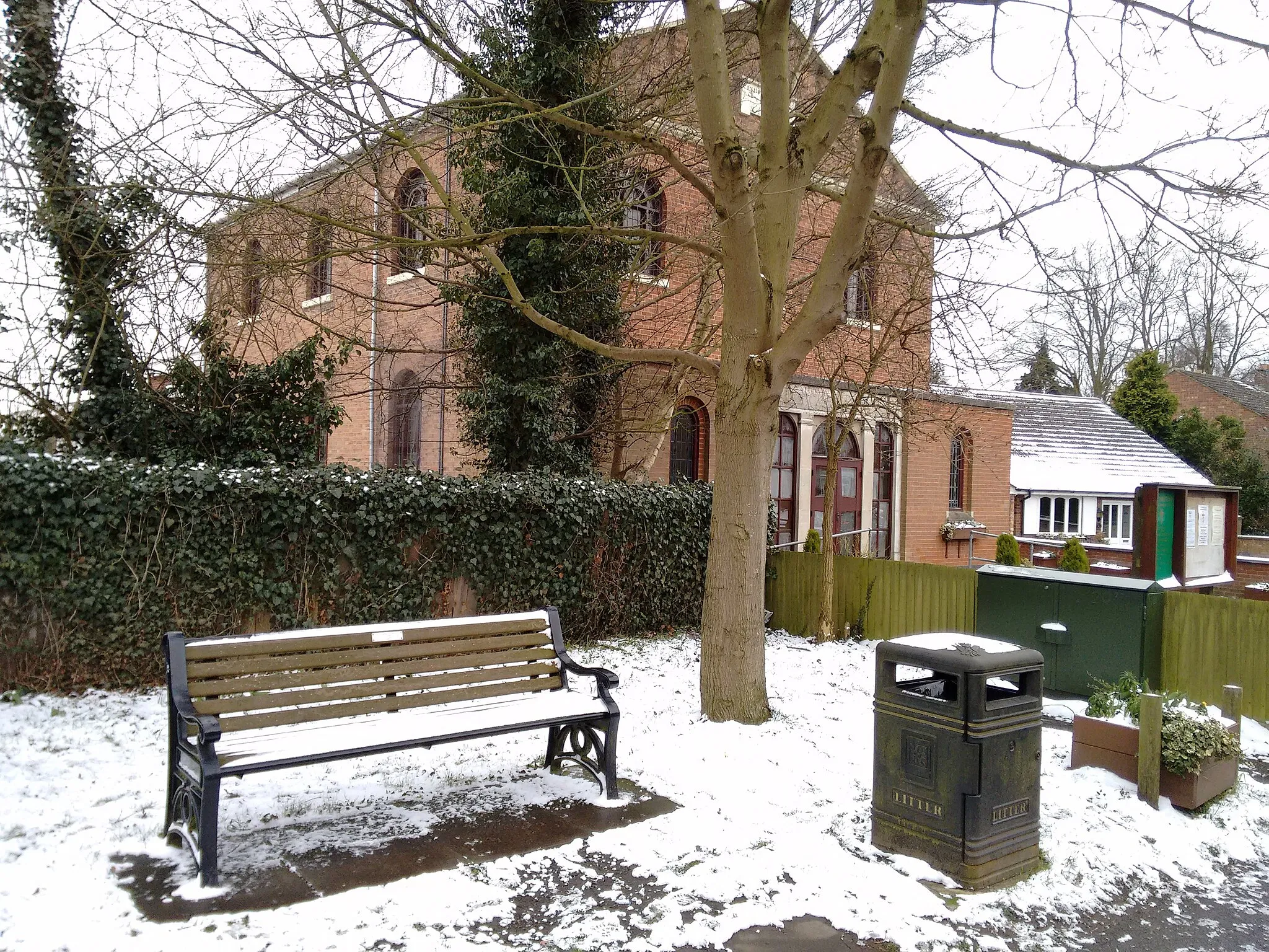
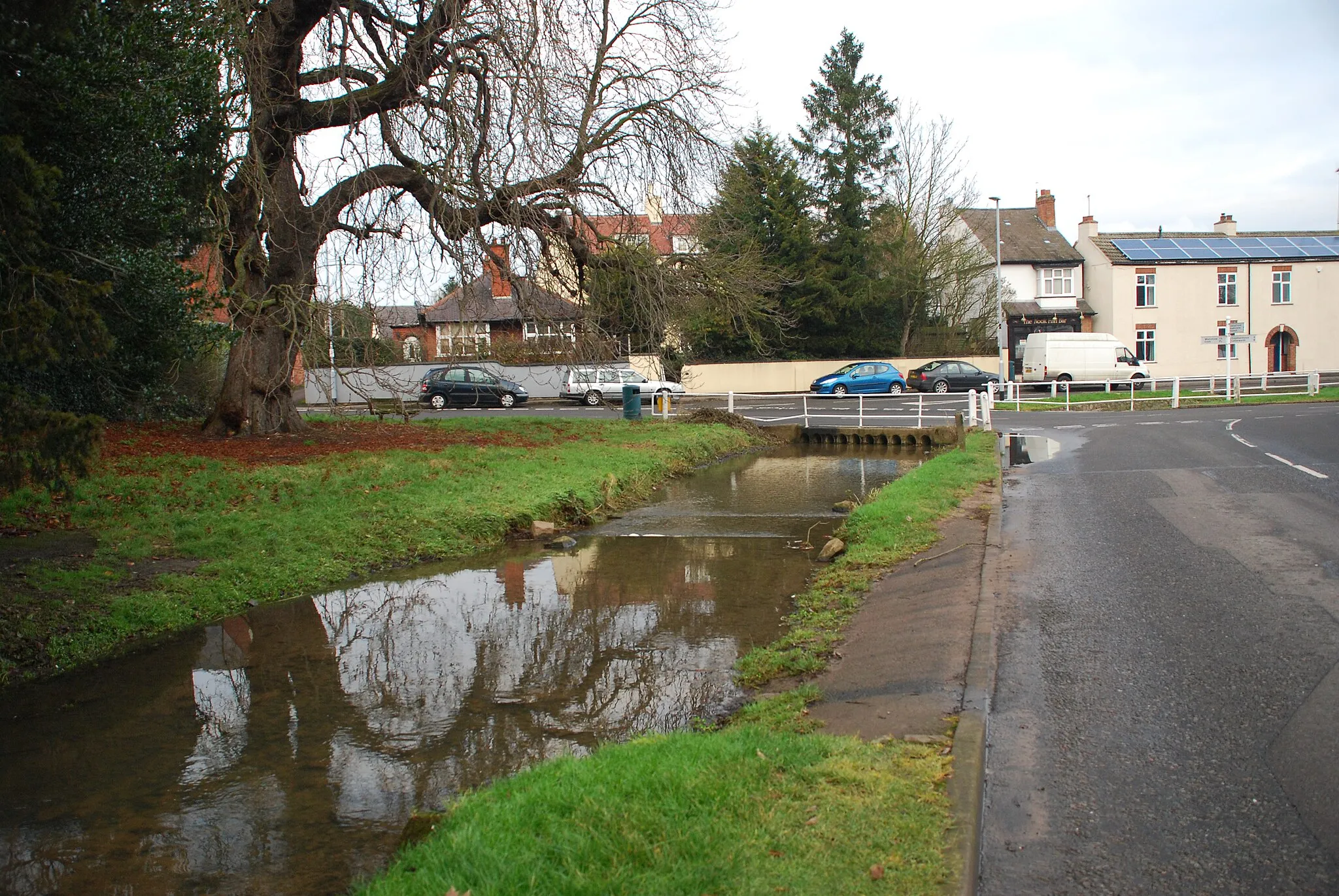
Sapcote, located in Leicestershire, Rutland, and Northamptonshire, offers cyclists the opportunity to explore scenic countryside routes. Road cyclists can enjoy quiet country lanes that meander through rolling hills and picturesque villages. Gravel cyclists have access to nearby bridleways and off-road trails, offering a chance to discover hidden gems in the surrounding countryside. Although Sapcote may not have any well-known cycling spots or climbs, its idyllic countryside setting makes it a pleasant base for cyclists looking for a serene cycling experience.
A hilly road route with scenic beauty and hidden gems
The Leicester Hills Challenge is a road cycling route that offers a thrilling experience for cyclists near Sapcote. With a challenging ascent of 828 meters and a distance of 107 kilometers, this route showcases the beauty of the Leicester Hills and some hidden gems along the way. From historic landmarks to picturesque villages, this route has something for every cycling enthusiast.
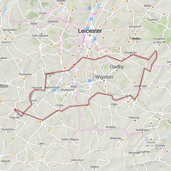
Huncote and Beyond

Ride through beautiful rural landscapes and historic sites
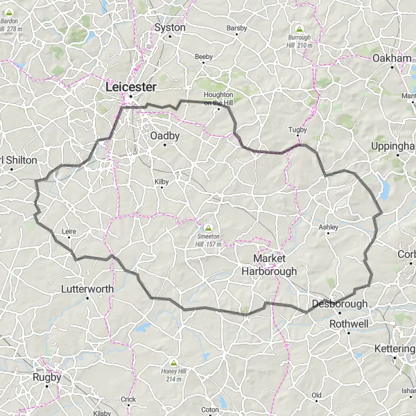
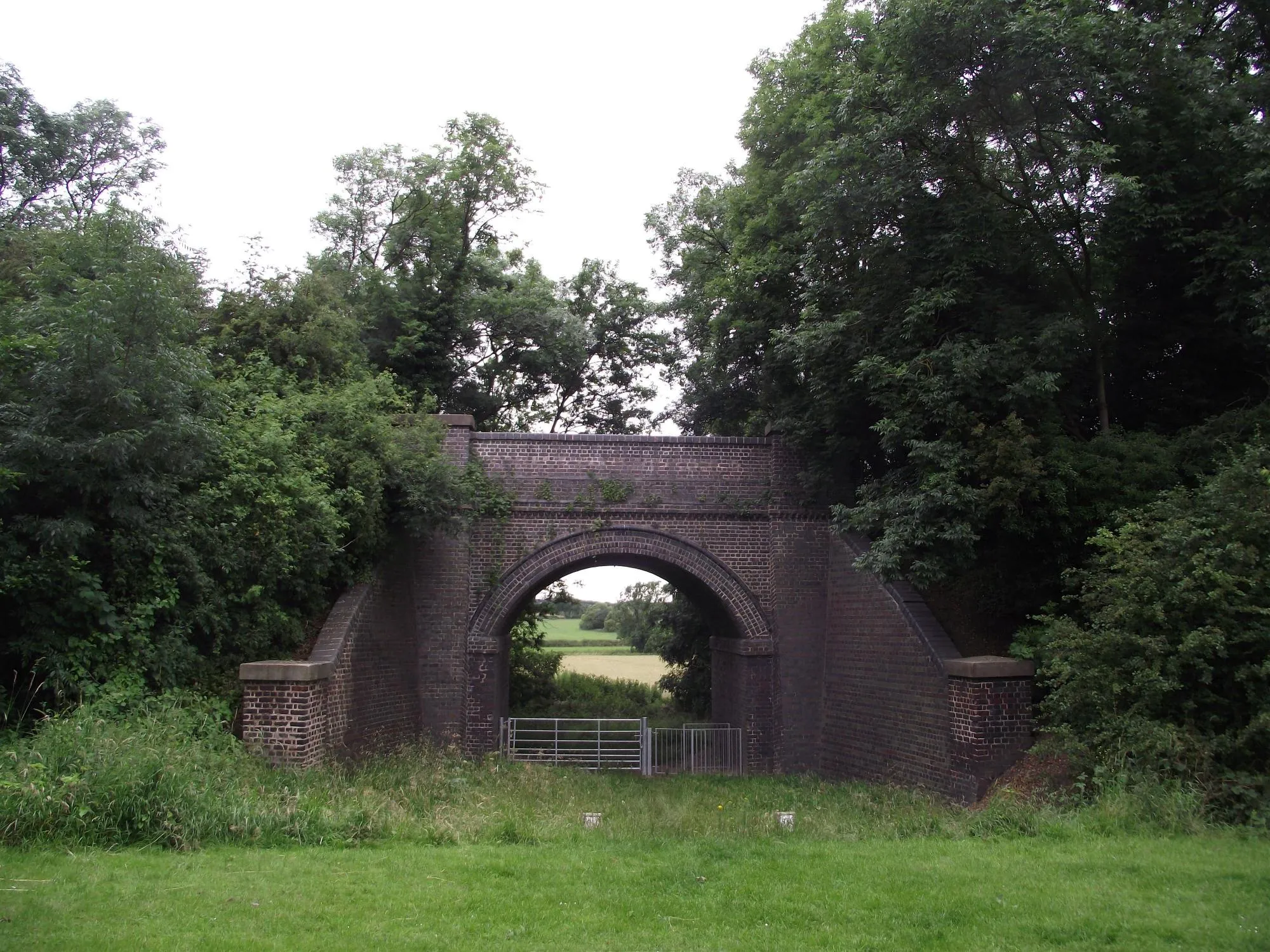
This round-trip cycling route takes you through the scenic countryside of Leicestershire, Rutland, and Northamptonshire. With a distance of 92 kilometers and an elevation gain of 600 meters, it offers a challenging but rewarding experience for cyclists. The route passes through Huncote, The Demostaph, Leicester, Gaddesby, Burrough Hill, Marefield, Billesdon, Countesthorpe, and back to Sapcote. Highlights along the route include picturesque villages, historic landmarks, and stunning views of the rolling hills. Overall, this route provides a great opportunity to explore the beauty of the region and enjoy a memorable cycling adventure.
A gravel adventure through scenic landscapes and off-road trails
Embark on a gravel adventure through scenic landscapes and off-road trails with this round-trip cycling route. The route provides a moderate challenge, with a total ascent of 298 meters and a distance of 55 kilometers. Highlights along the way include Stoneygate, Kilby, and Countesthorpe. With a difficulty rating of 2 and an epicness rating of 2, this route is suitable for gravel enthusiasts seeking a mix of off-road excitement and beautiful natural surroundings.
The Gravel Adventure
An off-road adventure through picturesque villages and scenic countryside.
This round-trip gravel cycling route takes you through picturesque villages and scenic countryside. With a total ascent of 532 meters and a distance of 91 kilometers, the route offers a moderate challenge for gravel enthusiasts. Highlights along the route include Narborough, Smeeton Westerby, and Honey Hill. With a difficulty rating of 3 and an epicness rating of 3, this route is perfect for cyclists seeking a mix of gravel adventure and beautiful landscapes.
The Leicester Explorer
An epic road route with diverse highlights and breathtaking views
The Leicester Explorer is an epic road cycling route that takes you on an exploration of the diverse highlights near Sapcote. With a total distance of 107 kilometers and an ascent of 619 meters, this route is suitable for experienced amateur cyclists. It offers breathtaking views and a mix of urban and rural scenery, showcasing the best of the area.

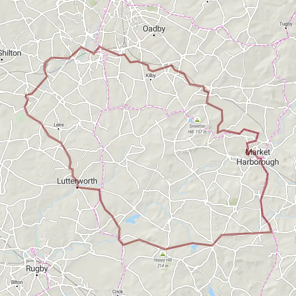
A journey through the historic landmarks and picturesque villages of Northamptonshire
Discover the historic landmarks and picturesque villages of Northamptonshire with this round-trip road cycling route. The route offers a moderate challenge, with a total ascent of 344 meters and a distance of 65 kilometers. Highlights along the way include Wolvey, Atherstone, and Sapcote. With a difficulty rating of 2 and an epicness rating of 2, this route is suitable for cyclists looking for a relaxed ride mixed with some cultural exploration.

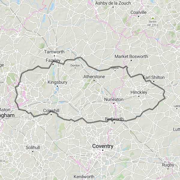
A historic route through the fields of Bosworth, where the famous battle took place
This round-trip cycling route offers a journey through history as you cycle through the fields of Bosworth, where the Battle of Bosworth famously took place. The route is moderate in difficulty, with a total ascent of 561 meters and a distance of 85 kilometers. The scenic highlights along the route include stops in Brinklow, Ryton-on-Dunsmore, and Hartshill. With a difficulty rating of 3 and an epicness rating of 4, this route is perfect for amateur cyclists looking for a dose of history and beautiful countryside scenery.
Sapcote Road Cycling Route

Experience the beautiful countryside and charming villages on this road cycling route near Sapcote.
Enjoy a scenic road cycling adventure starting near Sapcote in Leicestershire, Rutland, and Northamptonshire. This 87 km route takes you through picturesque villages and offers breathtaking views along the way. With a total ascent of 557 meters, the route provides a good challenge for well-trained amateur cyclists.
The Countryside Escape
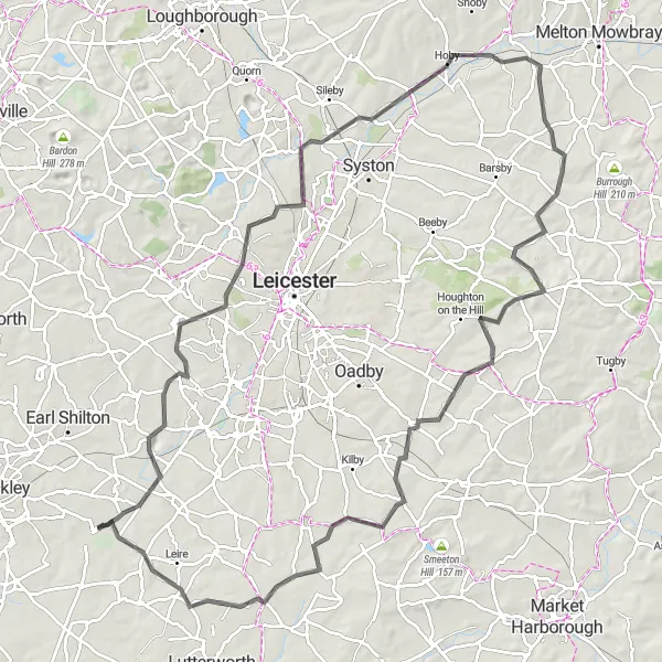
A scenic ride through the rolling hills and charming villages of Leicestershire
Experience the beauty of Leicestershire with this scenic round-trip road cycling route. The route offers a moderate challenge, with a total ascent of 693 meters and a distance of 103 kilometers. Highlights along the way include Huncote, Birstall, and Gaulby. With a difficulty rating of 4 and an epicness rating of 3, this route is perfect for cyclists who want to immerse themselves in the picturesque countryside of Leicestershire.
The Huncote Loop
A challenging gravel route with unique countryside highlights
The Huncote Loop is a distinctive cycling route that takes you through the beautiful countryside of Sapcote, Leicestershire. This challenging gravel route offers a unique cycling experience with its scenic beauty and interesting landmarks. With a total distance of 95 kilometers and an ascent of 886 meters, this route is suitable for well-trained amateur cyclists.
Cycling routes nearby:

Nearby regions: