The Rutland Round
A road cycling route starting from Thurlby
A scenic ride around the beautiful Rutland Water
Map

The Rutland Round is a picturesque cycling route that takes you on a journey around the stunning Rutland Water reservoir. With a total distance of 81 kilometers and an ascent of 663 meters, this road route is challenging yet rewarding. The route starts in Thurlby (Lincolnshire) and takes you through picturesque villages, serene countryside, and offers breathtaking lakeside views. It is a perfect route for road cycling enthusiasts who enjoy long rides with plenty of scenic vistas. The Rutland Round is an epic adventure that showcases the natural beauty of the area and provides a great cycling experience for enthusiasts of all levels.
road
81 km
663 m
Tough
Route profile
Highlights on the route
0 km
0 km
Start: Thurlby Village centerThurlby: Exploring the tranquil countryside of Thurlby on two wheels
Thurlby is a locality in Lincolnshire, United Kingdom. From a road and gravel cyclist's perspective, Thurlby offers flat terrain with occasional gentle slopes, providing a relaxed cycling experience. The roads are generally well-maintained, with minimal traffic, making it an ideal area for leisurely rides. Thurlby is surrounded by beautiful countryside, including open fields and small woodlands. It is also close to the Belvoir Castle, a popular tourist attraction known for its picturesque setting. Although Thurlby may not offer challenging climbs, it is an excellent destination for casual cyclists or those looking for scenic routes.8 km
8 km
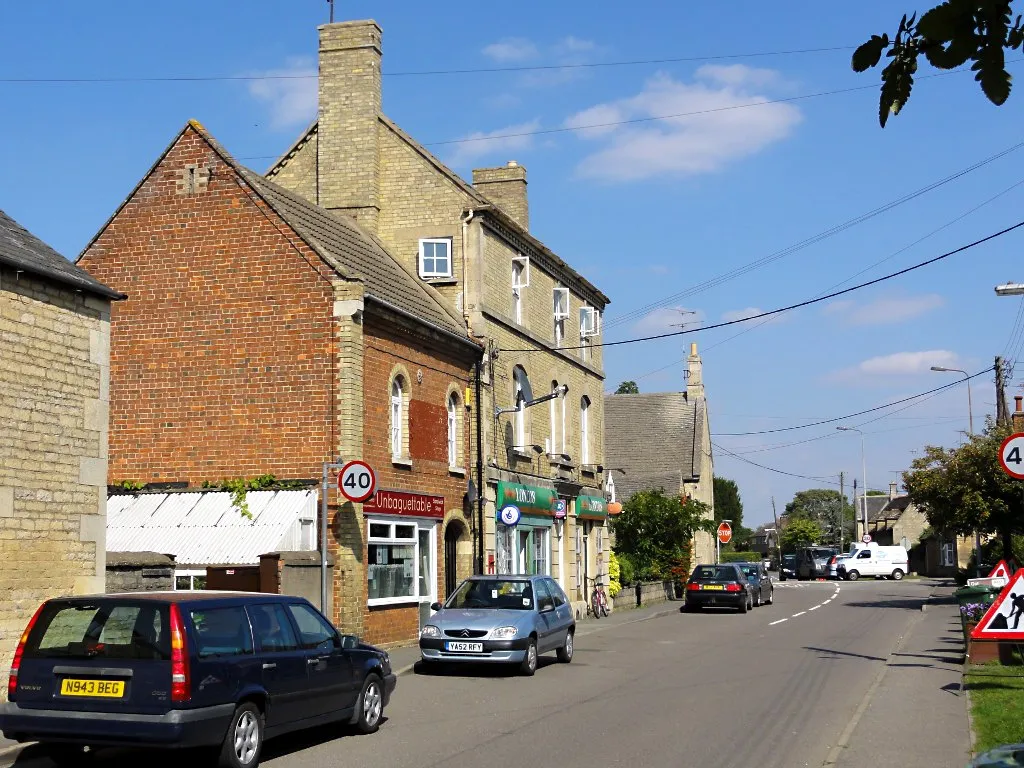
EssendineVillageEssendine is a charming village located along the route, known for its historical landmarks and traditional buildings. Take a moment to explore the village and discover its hidden gems.
21 km
21 km
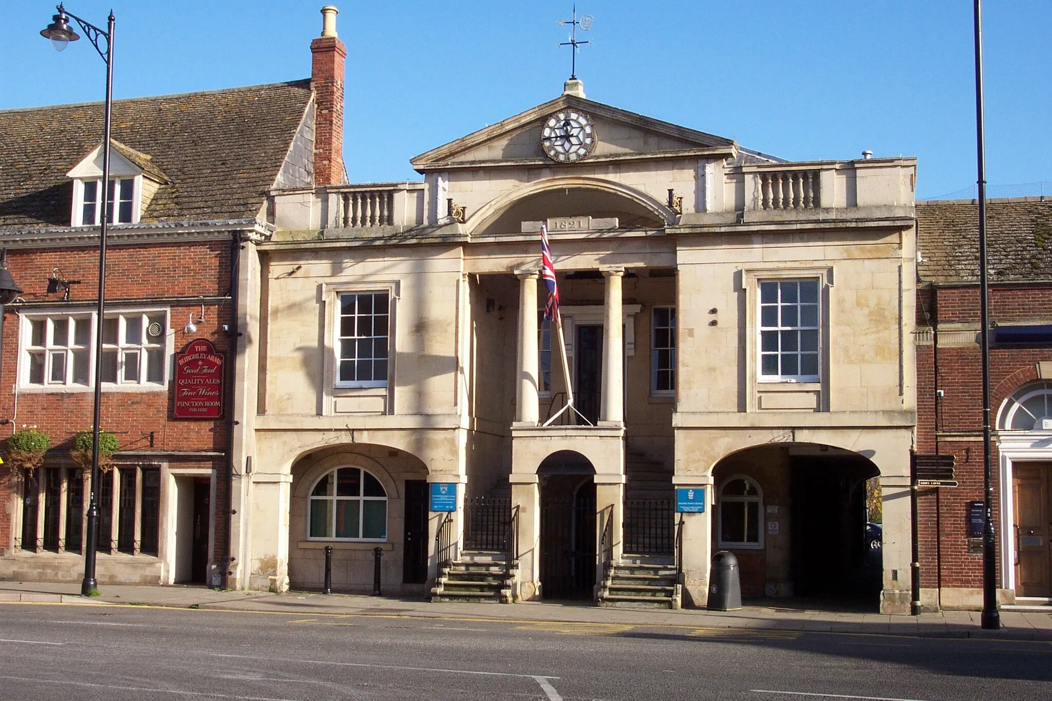
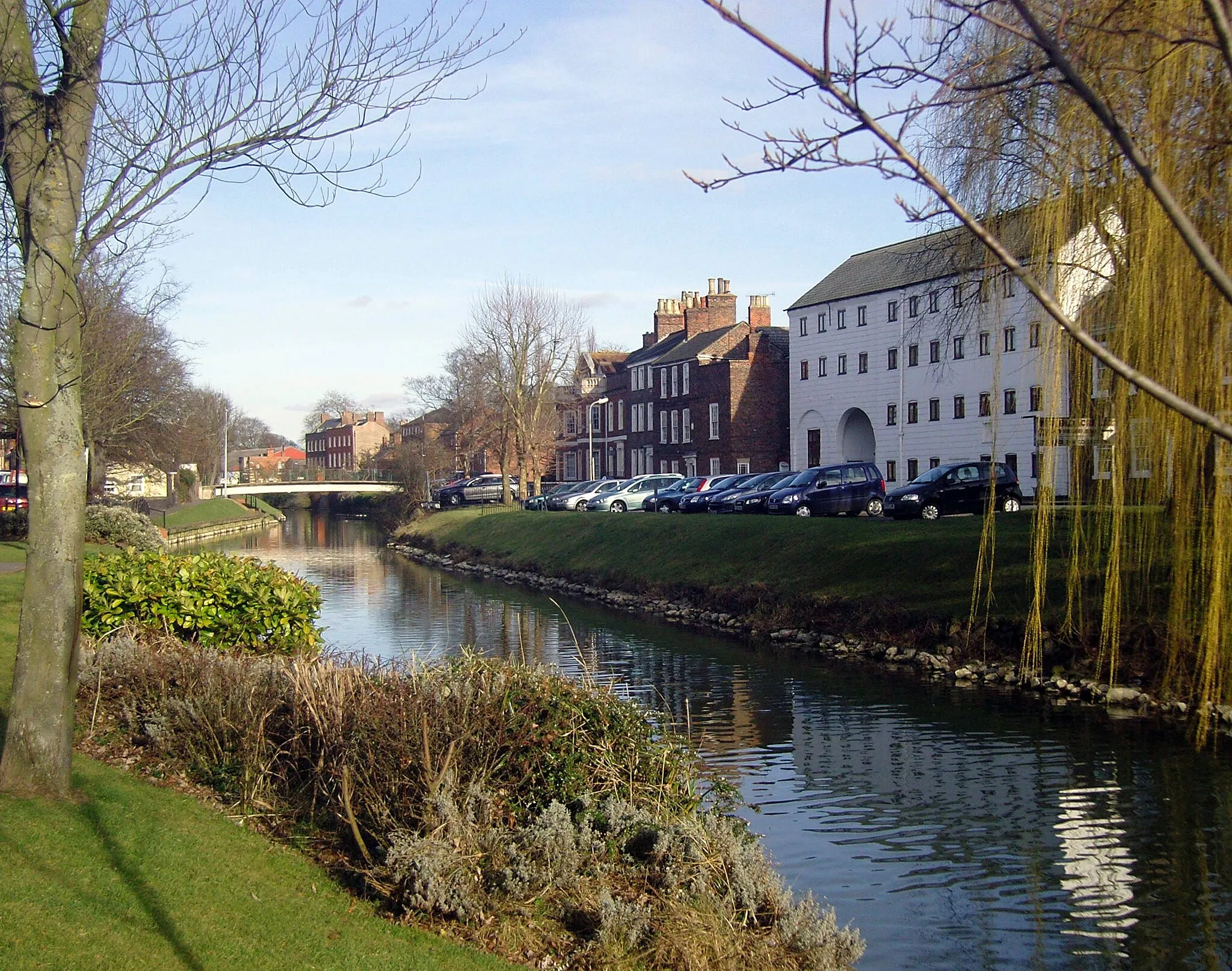
CollywestonVillageCollyweston is famous for its ancient slate industry. Marvel at the unique Collyweston slate roofs that are still visible on many buildings in the area.
40 km
40 km
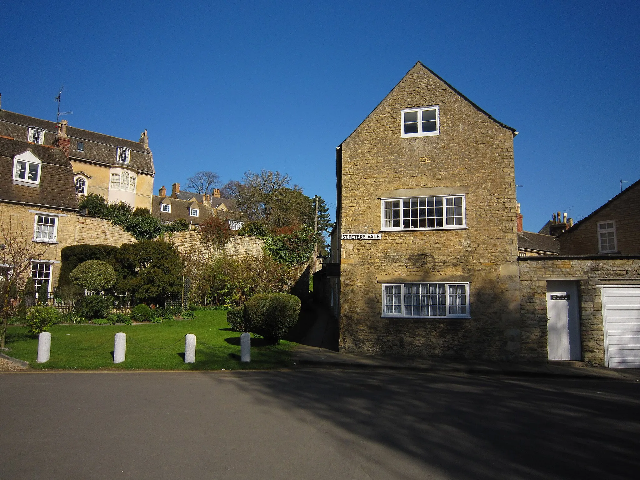
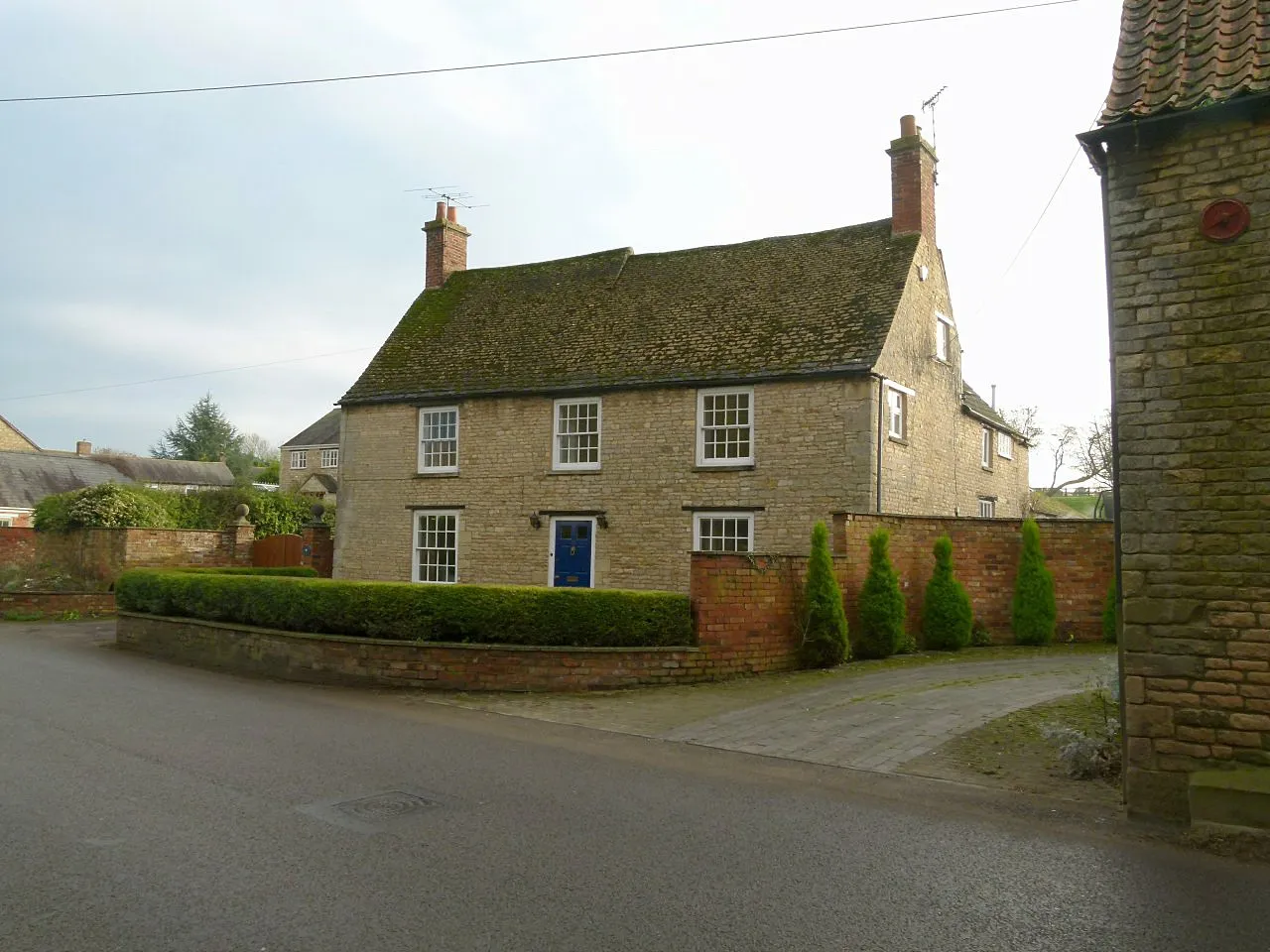
AystonVillageAyston is a tranquil village with beautiful stone houses and stunning surroundings. Enjoy the peaceful atmosphere and take in the beauty of the village and its surrounding countryside.
59 km
59 km
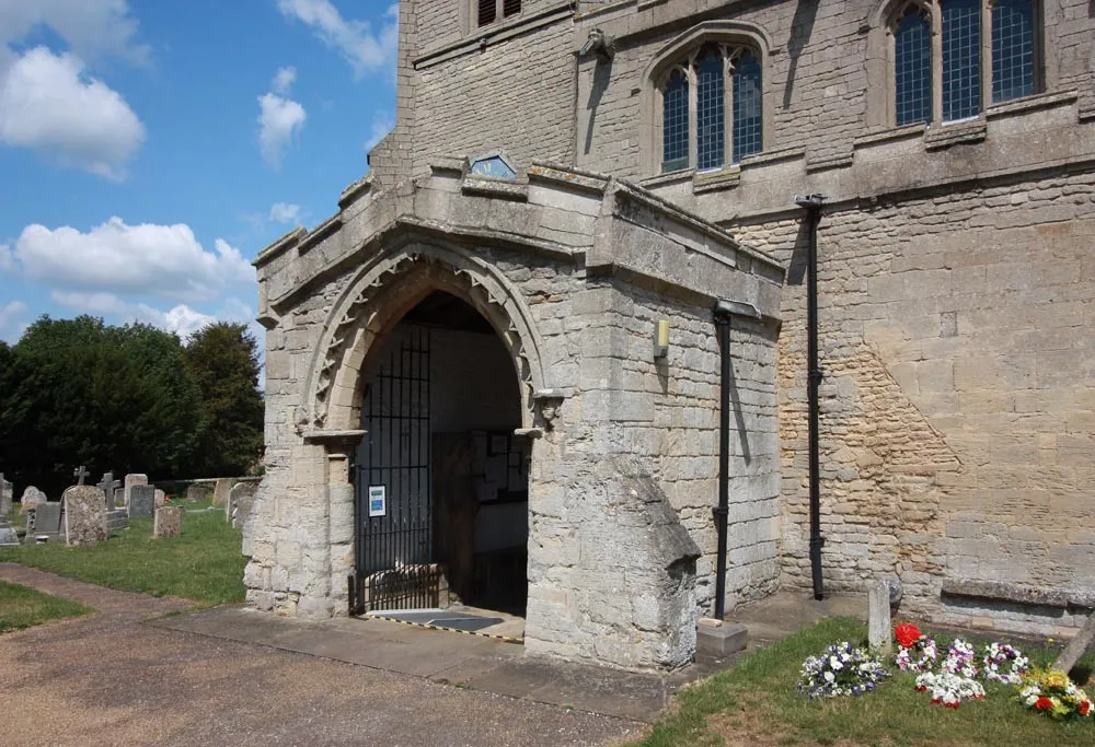
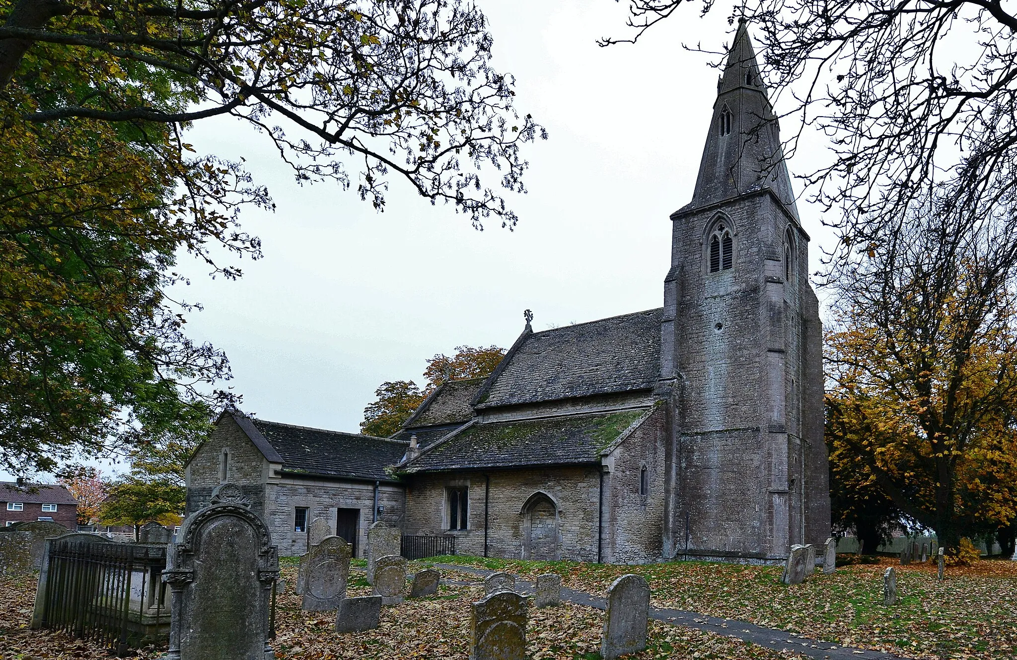
GreethamVillageGreetham is a charming village known for its 14th-century church, which boasts impressive architectural features and a rich history. Take some time to explore the village and admire its historic buildings.
70 km
70 km
Little BythamVillageLittle Bytham is a quaint village with a picturesque railway station. Explore the village and learn about its railway heritage and architecture.
77 km
77 km
ToftVillageToft is a small village with beautiful thatched cottages and a history dating back to medieval times. Enjoy the peaceful atmosphere and take a moment to appreciate the village's traditional charm.
81 km
81 km
Finish: Thurlby Village centerThurlby: Exploring the tranquil countryside of Thurlby on two wheels
Cycling routes nearby: