Ridges and Valleys
A gravel cycling route starting from Ingleby Greenhow
Navigate challenging gravel paths as you cross stunning ridges and valleys
Map
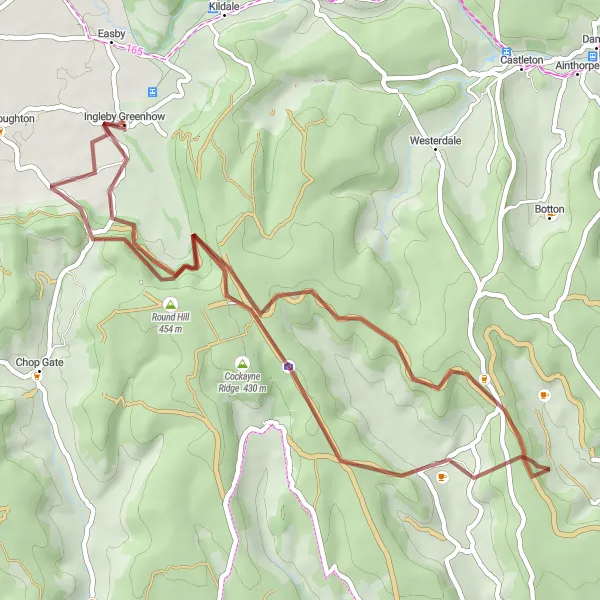
The Ridges and Valleys route is an exhilarating gravel adventure that covers 47km with an ascent of 1046m. This challenging route is perfect for experienced cyclists who enjoy technical terrain and breathtaking scenery. As you cycle along Stony Ridge, be prepared to be mesmerized by the stunning views of the surrounding valleys. The Hand Stone, a historical monument marking an ancient boundary, is another highlight of the route. With a difficulty rating of 4 and a touch of epicness, this route promises an unforgettable cycling experience in North Yorkshire.
gravel
47 km
1046 m
Tough
Route profile
Highlights on the route
0 km
0 km
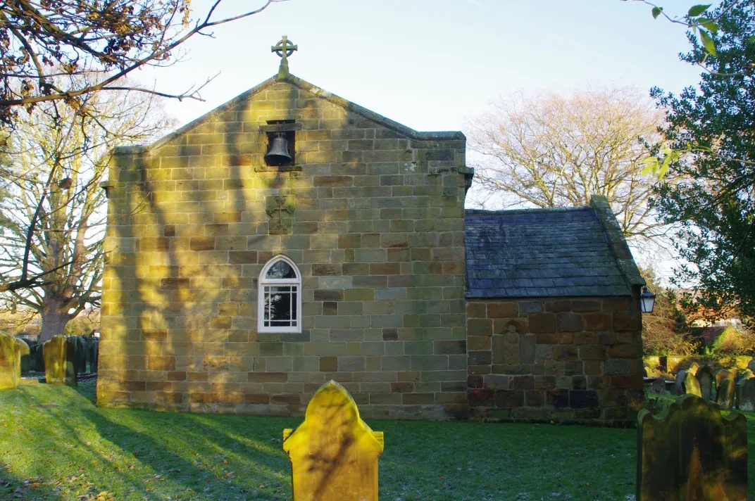
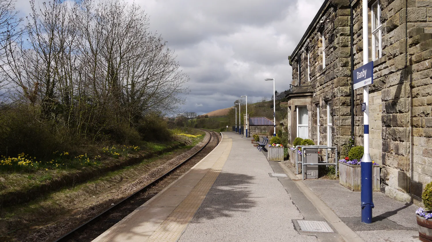
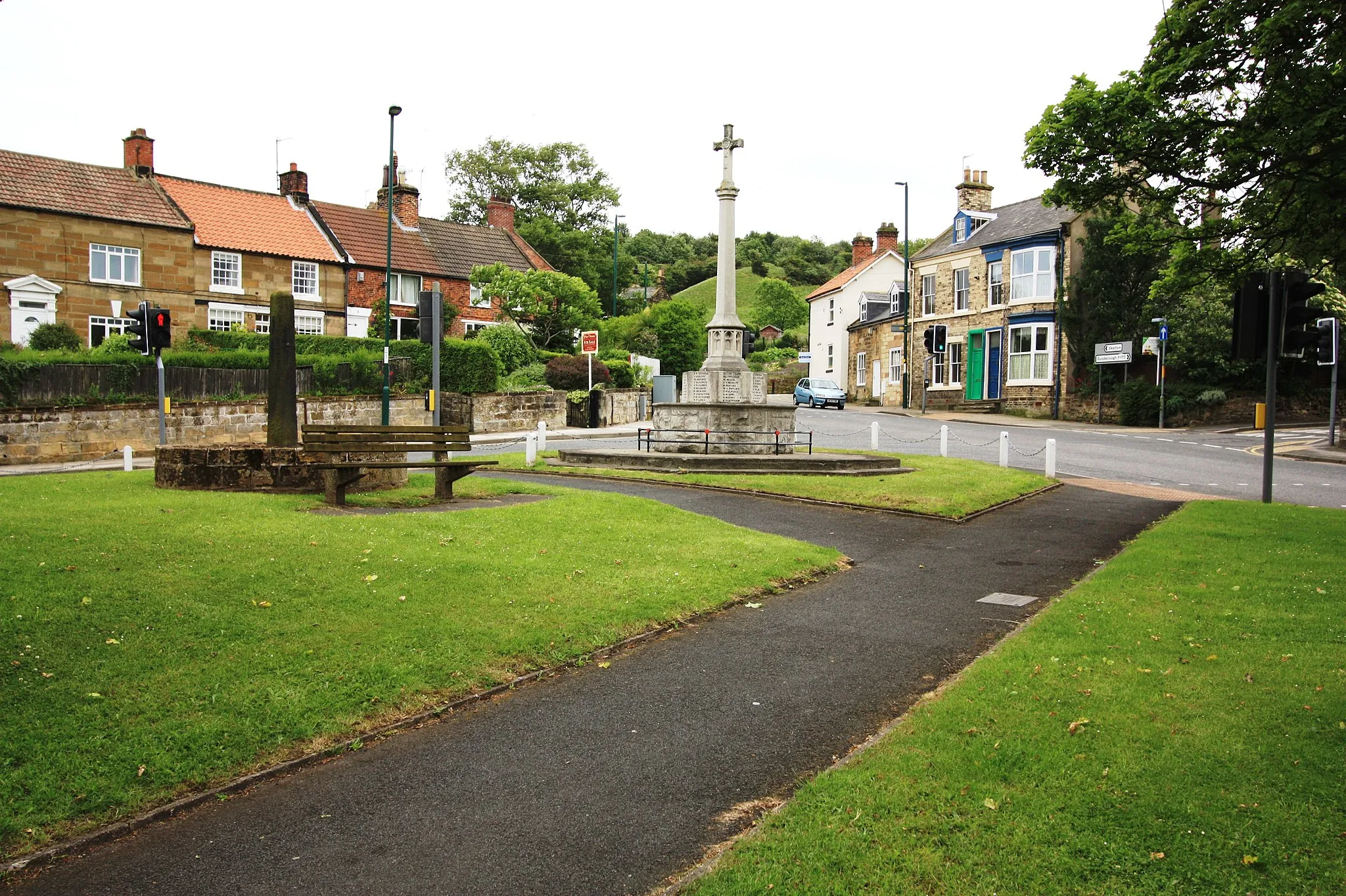
Start: Ingleby Greenhow Village centerIngleby Greenhow: Diverse terrain and cyclist-friendly amenities for all-level riders.
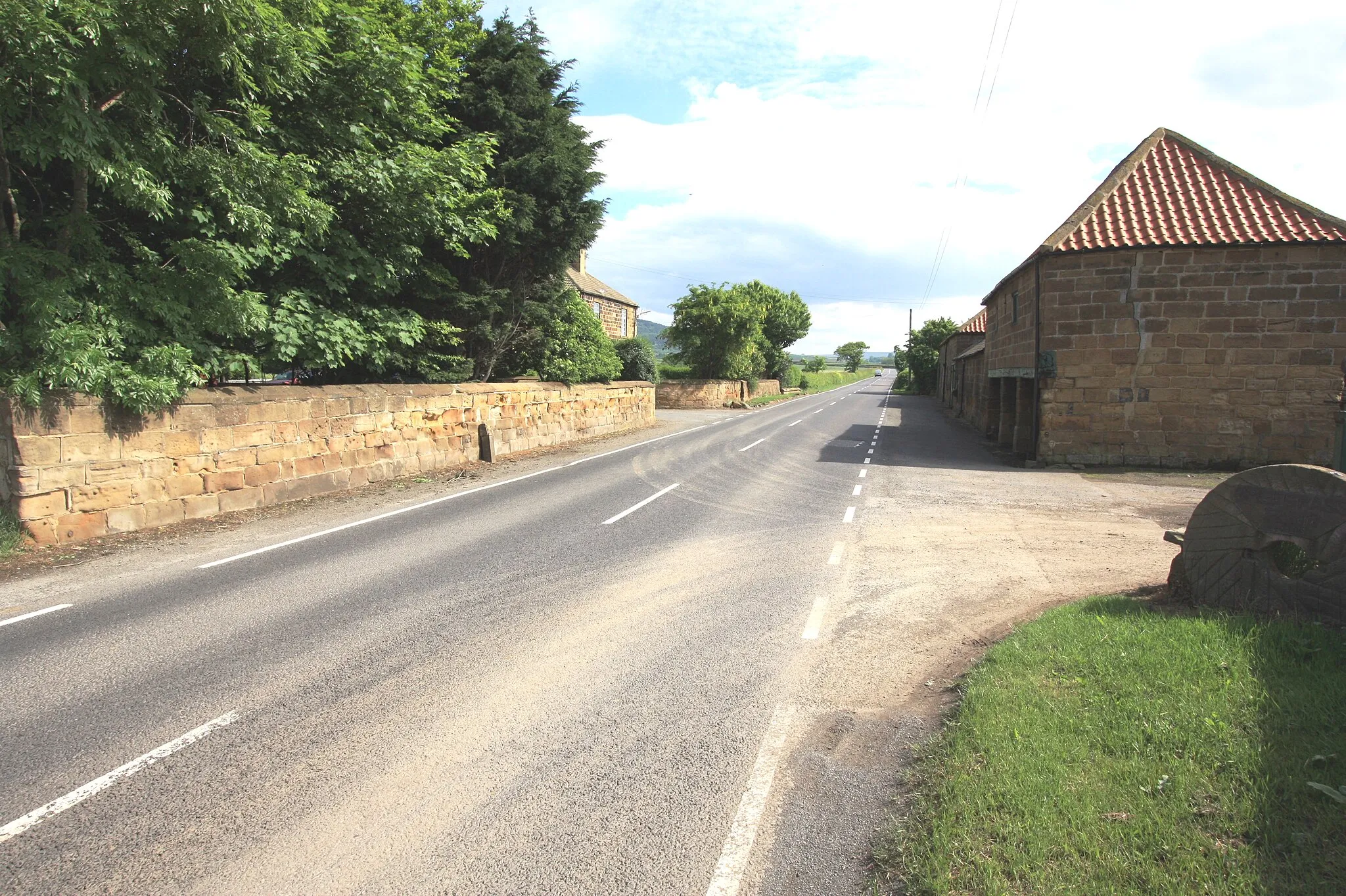
Ingleby Greenhow, situated in North Yorkshire, United Kingdom, is a fantastic destination for road and gravel cyclists. The locality offers a combination of flat routes and hilly terrain, providing options for both recreational and experienced riders. Cyclists can enjoy picturesque rides through the North York Moors National Park or take on challenging climbs like Blakey Ridge. Ingleby Greenhow is a cyclist-friendly area with amenities and services catering to cyclists' needs. With its diverse terrain and cycling-friendly facilities, Ingleby Greenhow attracts cyclists of all kinds.12 km
12 km
Stony Ridge433 mPeakStony Ridge offers unparalleled views of the expansive valleys and rolling hills of North Yorkshire.
38 km
38 km
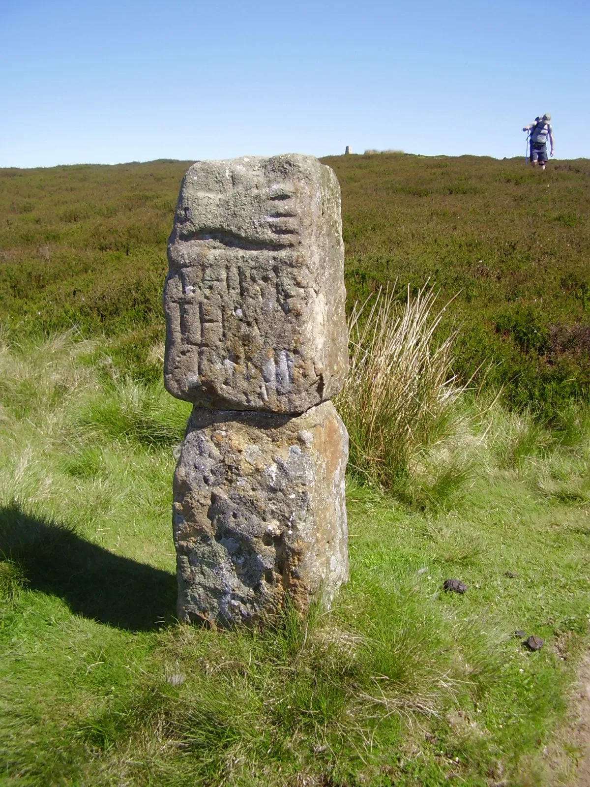
The Hand StoneAttractionStop by The Hand Stone, a fascinating historical landmark which served as a boundary marker in ancient times.
41 km
41 km
Clay Bank Top268 mMountain PassRegarded as one of the most challenging climbs in the area, Clay Bank Top showcases magnificent views at the summit.
47 km
47 km
Finish: Ingleby Greenhow Village centerIngleby Greenhow: Diverse terrain and cyclist-friendly amenities for all-level riders.
Cycling routes from Ingleby Greenhow:
Moorland Escape: Scenic Road Trip Ridges and Valleys The Moors and Valleys Gravel Adventure Wonders of the North York Moors Explore the Wild The Moorlands Challenge North Yorkshire Epic: Ultimate Road Challenge Round Trip From Ingleby Greenhow: Moorlands and Valleys Off-Road Excursion: Gravel Adventure The Moorland Adventure
Cycling routes nearby: