Pennine Peaks Challenge
A road cycling route starting from South Milford
From rolling mountains to quaint villages
Map
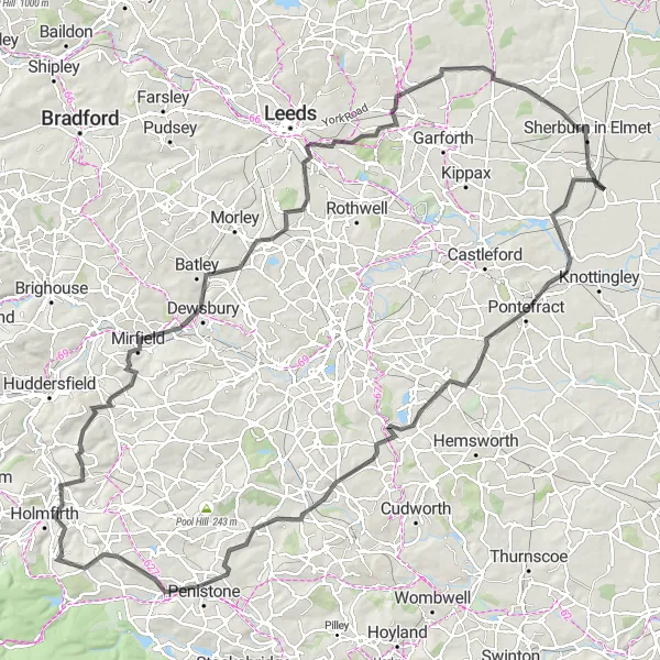
Embark on this challenging 128 km road cycling route starting near South Milford with an ascent of 1467m. Traverse the breathtaking Pennine Peaks, passing through picturesque villages and marveling at stunning landscapes.
road
128 km
1467 m
Savage
Route profile
Highlights on the route
0 km
0 km
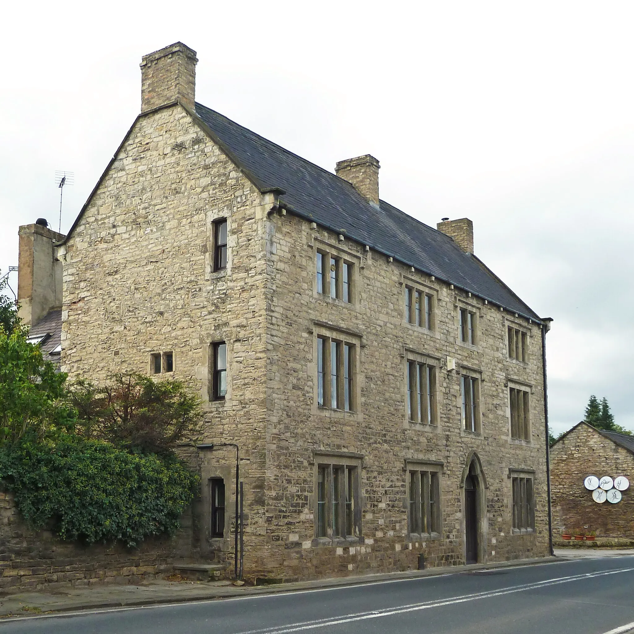
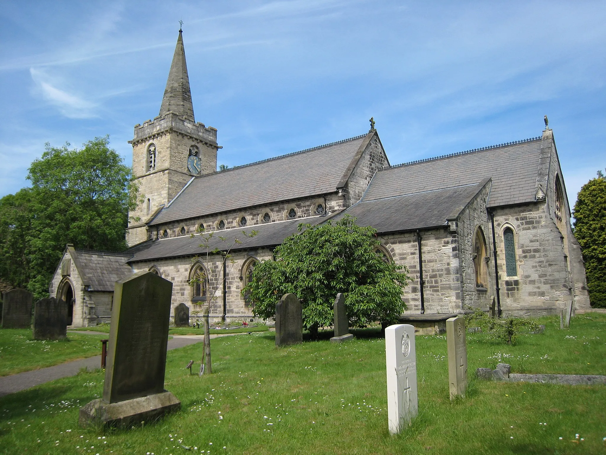
Start: Monk Fryston Village centerSouth Milford: Cycle through the scenic beauty of South Milford and beyond.
South Milford in North Yorkshire, United Kingdom is a charming locality that offers great cycling opportunities for road and gravel cyclists. The area features a mix of flat terrain and gentle slopes, making it suitable for cyclists of various skill levels. South Milford is surrounded by stunning countryside and delightful villages, providing a pleasant cycling experience. Cyclists in South Milford can explore the nearby Yorkshire Dales National Park, which is famous for its challenging climbs and breathtaking landscapes. Overall, South Milford is a cyclist's paradise in North Yorkshire.13 km
13 km
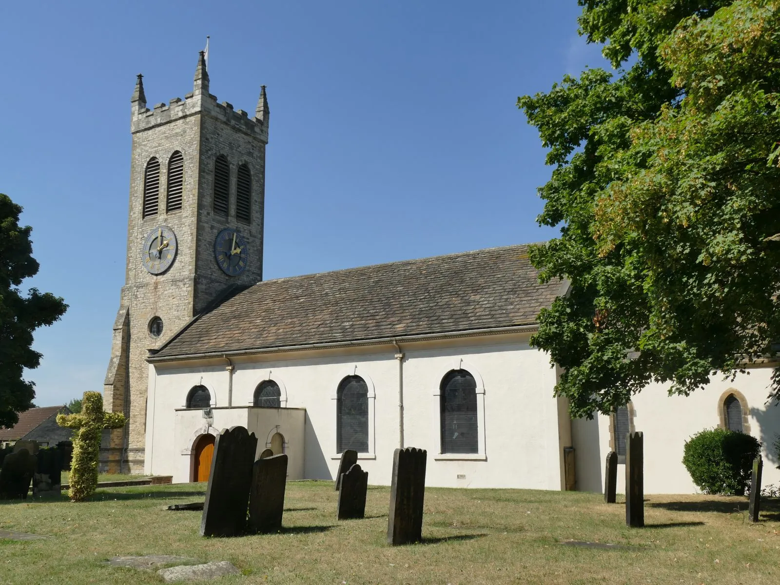
PontefractTownExperience the market town of Pontefract, situated 13 km into the route, famous for its historic castle and liquorice confectionery.
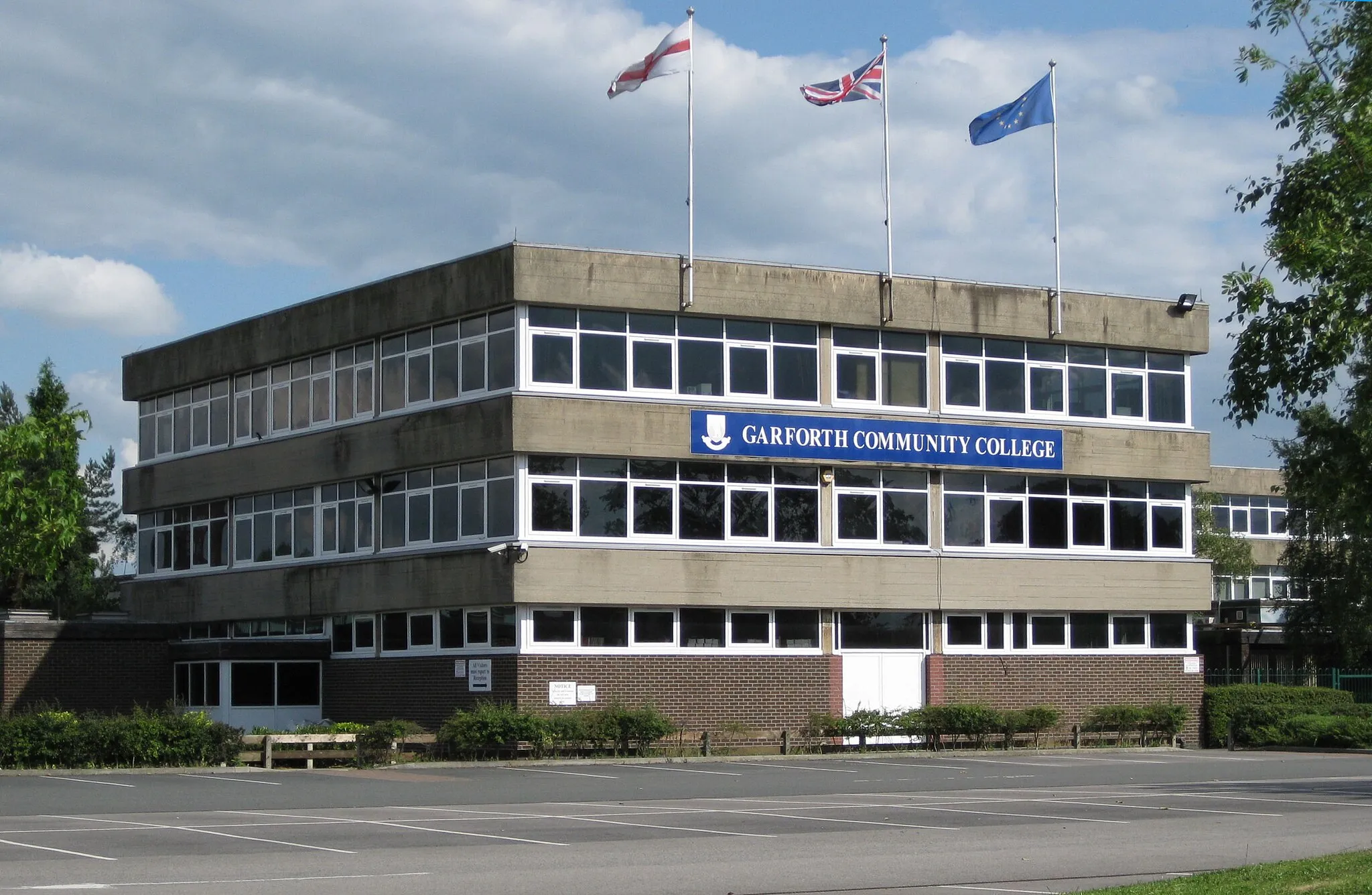
46 km
46 km
PenistoneTownDiscover Penistone, located 46 km along the route, surrounded by stunning rural landscapes and a popular spot for outdoor activities.
67 km
67 km
Farnley TyasVillageFarnley Tyas, situated 67 km into the route, is a charming village surrounded by rolling hills, offering scenic views and quaint country lanes.
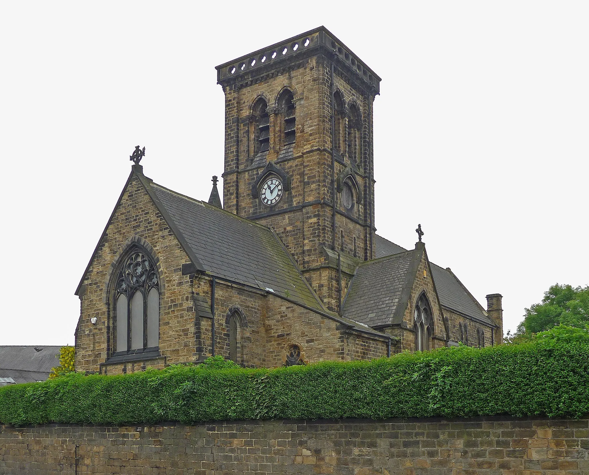
83 km
83 km
DewsburyTownDewsbury, a vibrant market town located 83 km along the route, boasts a rich textile heritage and beautiful Victorian architecture.
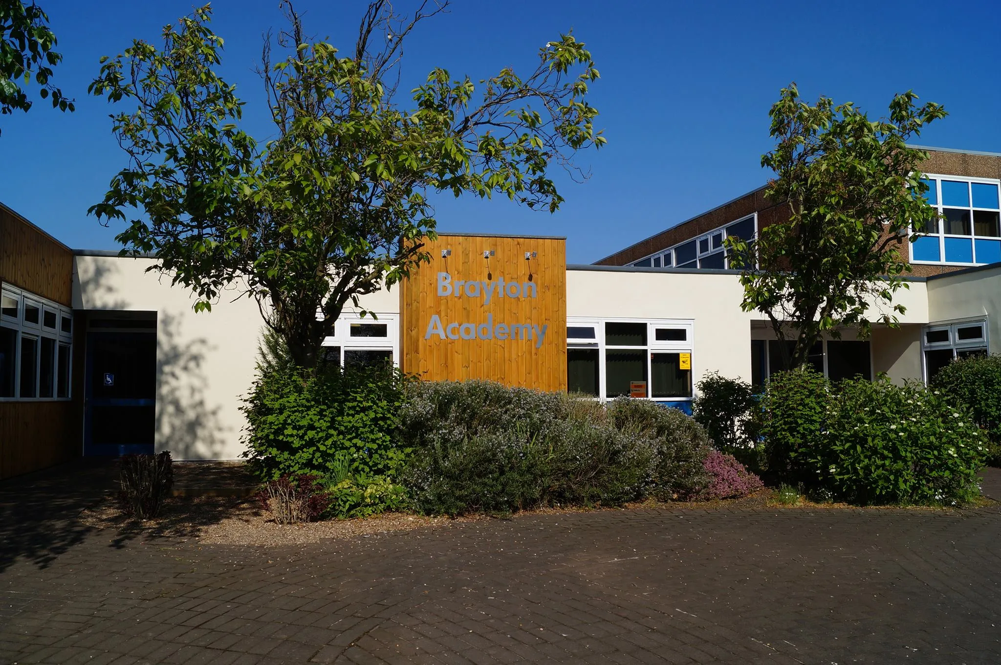
107 km
107 km
AusthorpeVillageAusthorpe, a picturesque hamlet situated 107 km into the route, offers serene countryside views and is a perfect place to catch your breath.
128 km
128 km
Finish: Monk Fryston Village centerSouth Milford: Cycle through the scenic beauty of South Milford and beyond.
Cycling routes from South Milford:
Tadcaster Loop Rufforth Circular Gravel Adventure to Lotherton Hall Yorkshire Gravel Challenge Exploring Knottingley and Pontefract by Gravel Monk Fryston Route Selby Circuit Pennine Peaks Challenge Yorkshire Countryside Loop Historic Yorkshire Tour The Fairburn Gravel Adventure The Knaresborough Road Blast The Castleford Gravel Escape
Cycling routes nearby: