Cycling Paradise in Northern Ireland, UK
Cycling routes from Ahoghill
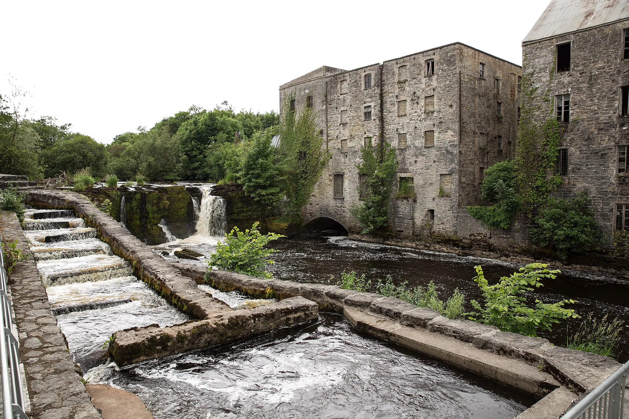
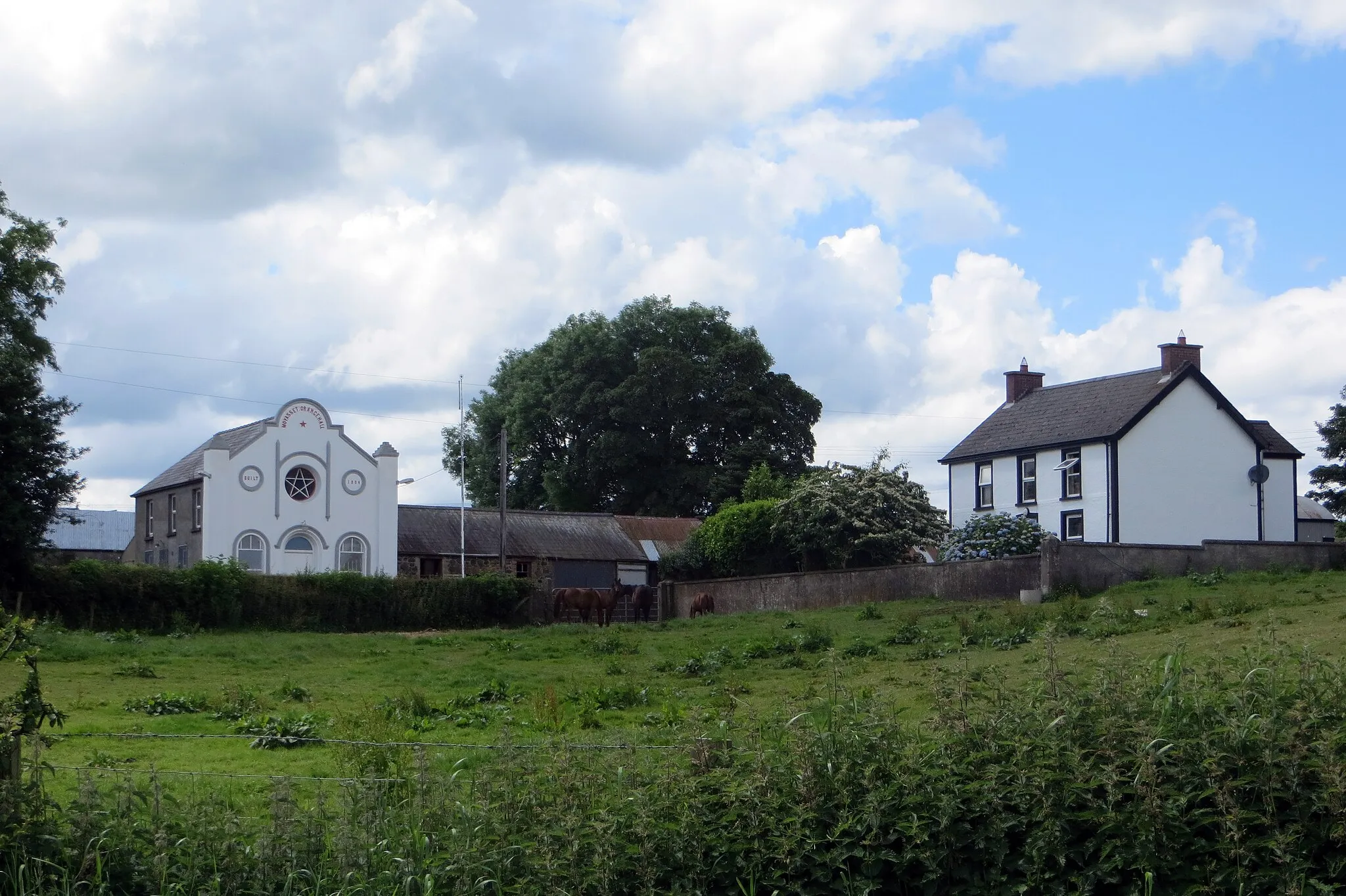
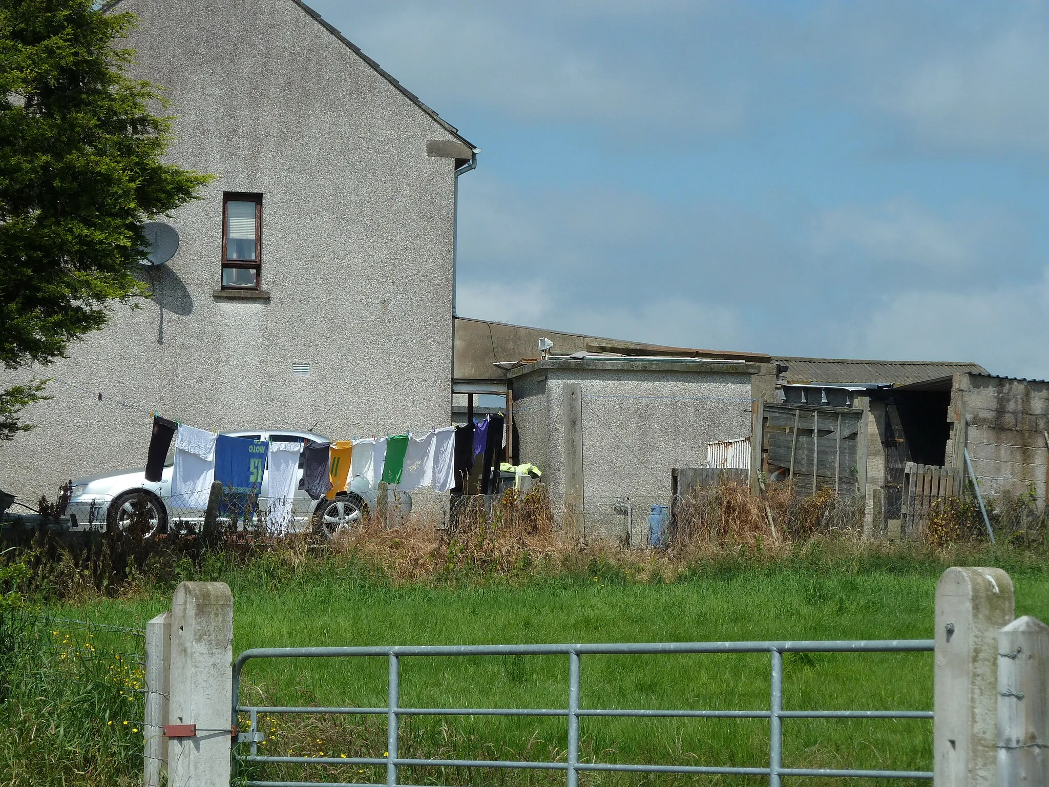
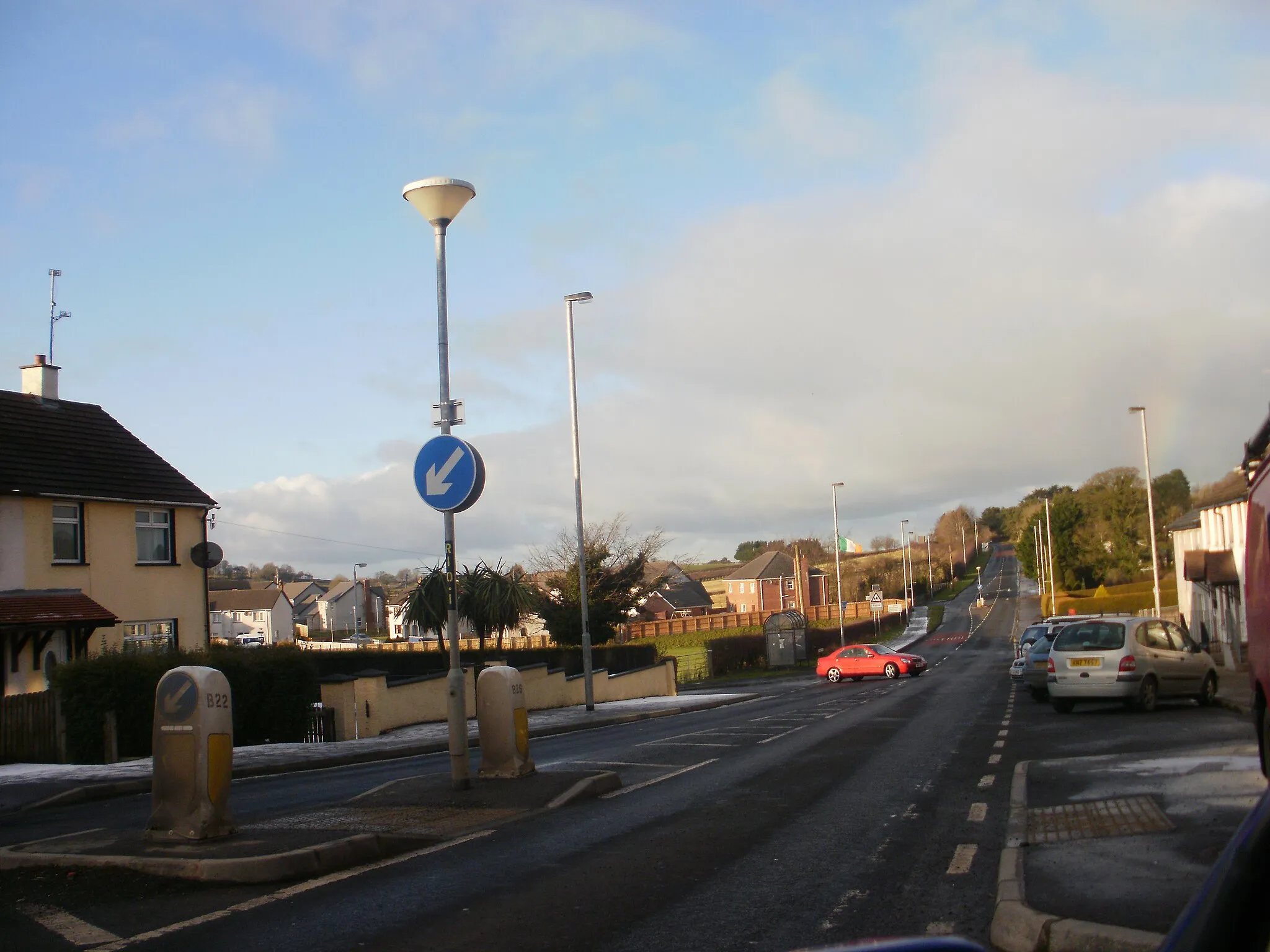
Ahoghill, located in Northern Ireland, United Kingdom, offers a diverse range of cycling experiences for road and gravel cyclists. The locality boasts scenic countryside, peaceful roads, and rolling hills, making it an attractive destination for cyclists of all levels. Ahoghill is in close proximity to the famous Glens of Antrim, a network of valleys and hills offering spectacular cycling routes. Cyclists can also explore the iconic Antrim Coast Road and enjoy stunning views of the coastline. In addition, Ahoghill is within reach of the famous climb at Glenariff, known for its challenging gradients and breathtaking scenery.
Magherafelt to Glen Loop
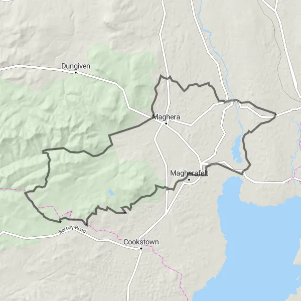
Experience a thrilling loop ride from Magherafelt to Glen, passing through stunning countryside and magnificent mountains.
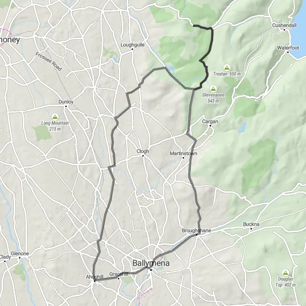
The Magherafelt to Glen Loop is an exhilarating cycling route that takes you through scenic countryside and magnificent mountains. With a distance of 142 kilometers and an ascent of 1608 meters, this route offers a challenging ride for well-trained amateurs seeking an epic adventure. Along the way, you'll pass through the charming village of Clady, known for its picturesque river views. The route then leads you to Beltonanean Mountain, offering breathtaking panoramic views of the surrounding landscape. The ride concludes in Glen, a place of remarkable beauty and tranquility. This route is rated 5 out of 5 for both epicness and difficulty, making it a legendary cycling spot.
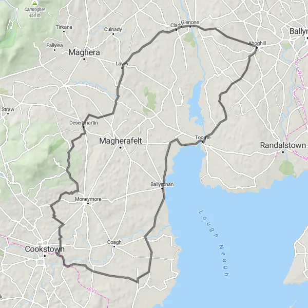
Cookstown Clady Loop
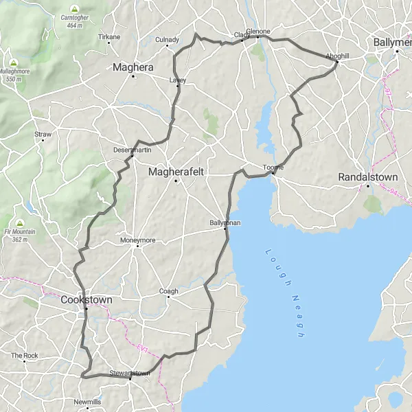
Scenic road cycling loop with notable city views and picturesque countryside
The Cookstown Clady Loop is a scenic road cycling route that offers stunning views and a mix of city and countryside scenery. With a distance of 109 km and an ascent of 963 meters, this route is suitable for well-trained amateurs. The route starts near Ahoghill and passes through highlights such as Moneyglass, Cookstown, Desertmartin, and Clady.
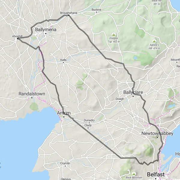
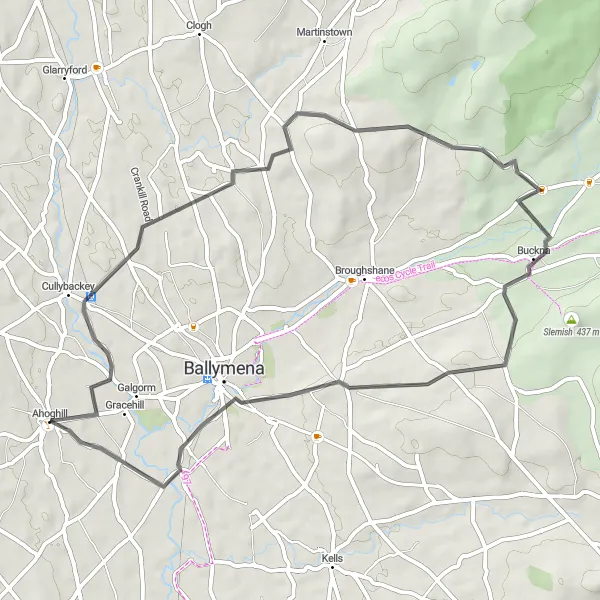
Embark on an exciting adventure from Broughshane to Antrim, passing by picturesque landscapes and historical sites.
The Broughshane to Antrim Adventure is a thrilling cycling route that takes you through picturesque landscapes and historical sites. With a distance of 98 kilometers and an ascent of 894 meters, this route offers a challenging ride for well-trained amateurs. Along the way, you'll pass through the charming village of Broughshane, known for its floral displays and vibrant atmosphere. The route then takes you to Antrim, a town rich in history and home to notable landmarks such as Antrim Castle. This route is rated 4 out of 5 for epicness, making it a memorable cycling experience for enthusiasts.
Dunloy Loughguile Adventure
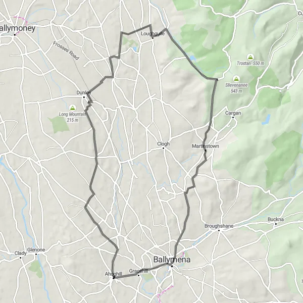
Embark on an adventurous journey around Dunloy and Loughguile, immersing in their natural wonders
The Dunloy Loughguile Adventure is an adventurous road cycling route that takes you through the captivating landscapes of Dunloy and Loughguile. Covering a distance of 69 km with an ascent of 635 meters, this route is suitable for experienced amateurs. Along the way, highlights include Dunloy, Loughguile, Skerry Hill, Martinstown, and Ahoghill.
Aughafatten Exploration

An adventurous cycling exploration of Aughafatten and its surrounding hills
The Aughafatten Exploration is an adventurous road cycling route that takes you through the scenic landscapes around Aughafatten. With a distance of 77 km and an ascent of 785 meters, this route is suitable for experienced amateurs. The highlights along the way include Broughshane, Aughafatten, Agnew's Hill, Big Collin, and Ahoghill.
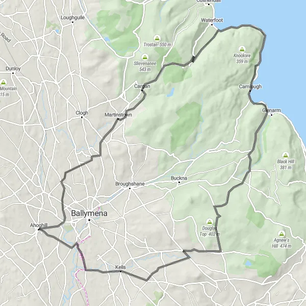
Embark on an exciting adventure from Galgorm to Carnlough, passing through a variety of landscapes.
The Galgorm to Carnlough Adventure is a thrilling cycling route that takes you on a journey through diverse landscapes. With a distance of 101 kilometers and an ascent of 972 meters, this route offers a challenging ride for well-trained amateurs. Along the way, you'll encounter the tranquil Galgorm area and the beautiful Garron Road Amenity Site. The route then takes you to Carnlough, a coastal village known for its stunning harbor. This route is rated 4 out of 5 for epicness, providing an exhilarating experience for cyclists.
A picturesque loop with charming countryside scenery and a visit to Desertmartin.
The Ahoghill to Desertmartin Loop is a scenic cycling route that takes you through picturesque countryside and offers a visit to the charming village of Desertmartin. With a distance of 96 kilometers and an ascent of 749 meters, this route provides a moderate challenge for well-trained amateurs. Along the way, you'll pass through the scenic villages of Moneyglass and Clady, adding to the overall touristic attractiveness of the ride. The route is rated 4 out of 5 for epicness, making it a great adventure for cycling enthusiasts.
Rasharkin Loop
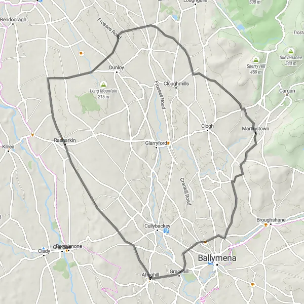
Enjoy a scenic loop ride through Rasharkin, passing by charming villages and countryside scenery.
The Rasharkin Loop is a delightful cycling route that takes you through beautiful countryside scenery and charming villages. Spanning 64 kilometers with an ascent of 531 meters, this route provides a moderate challenge for well-trained amateurs. Along the way, you'll pass through the picturesque village of Rasharkin, known for its scenic surroundings. Martinstown is another highlight, offering a tranquil atmosphere and breathtaking views. This route is rated 3 out of 5 for epicness, making it a pleasant adventure for cyclists.
Broughshane Circuit
A picturesque road cycling circuit showcasing the beauty of Broughshane and its surroundings
The Broughshane Circuit is a road cycling route that encompasses the scenic beauty of Broughshane and its surroundings. With a distance of 78 km and an ascent of 866 meters, this route is suitable for experienced amateurs. The highlights along the route include Cullybackey, Cloughmills, Skerry Hill, Broughshane, and Ahoghill.
Discover the charm of Cullybackey and its surrounding landscapes on this road cycling excursion
The Cullybackey Excursion is a road cycling route that offers a delightful exploration of the charming village of Cullybackey and its stunning surroundings. Covering a distance of 51 km with an ascent of 504 meters, this route is suitable for intermediate-level cyclists. The highlights along the way include Cullybackey, Buckna, Ballykeel, and Ahoghill.
Cycling routes nearby:


Nearby regions: