Uncover the beauty of Magherafelt on your bike.
Cycling routes from Magherafelt
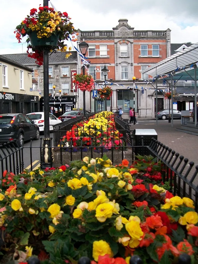
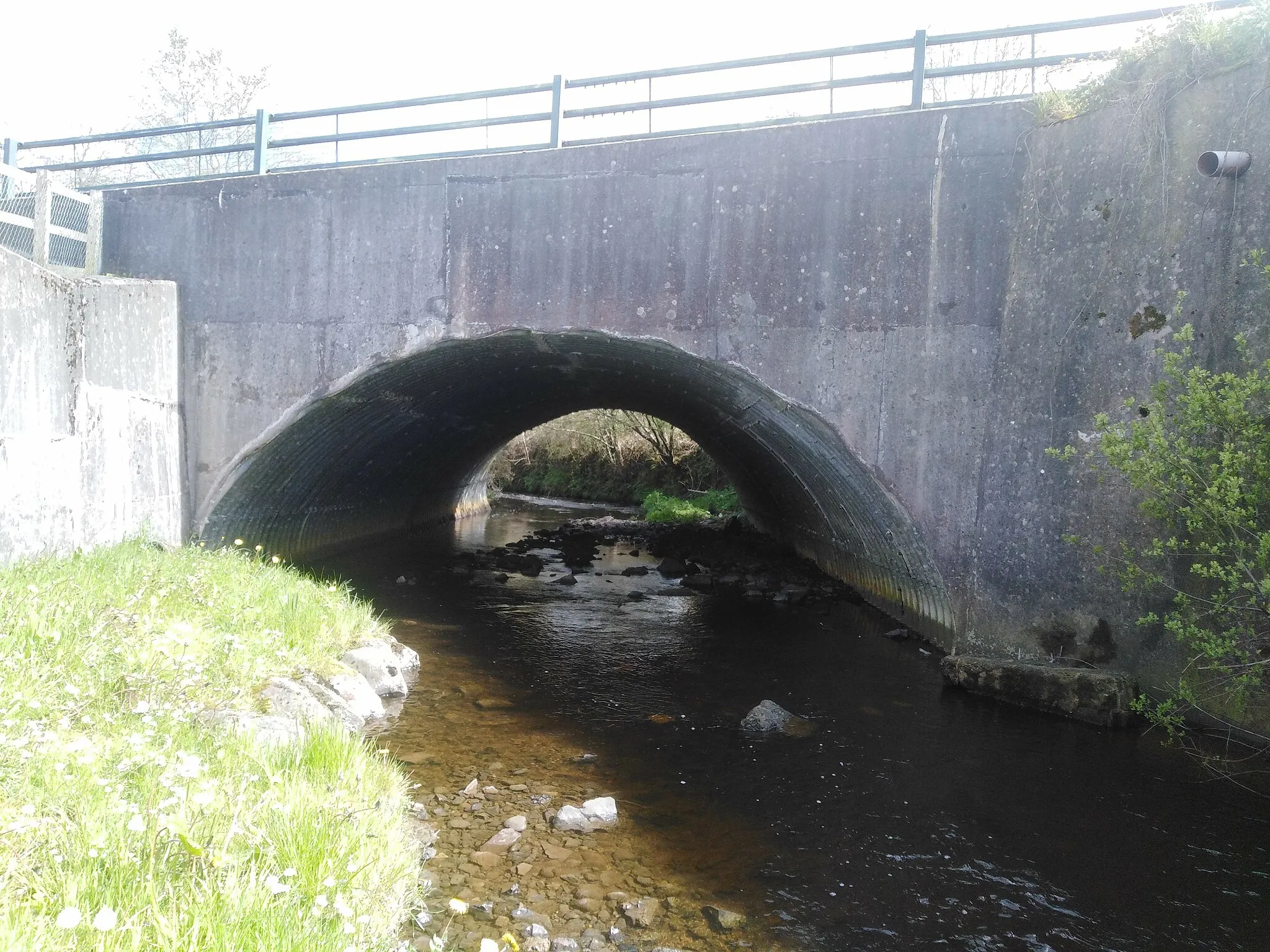
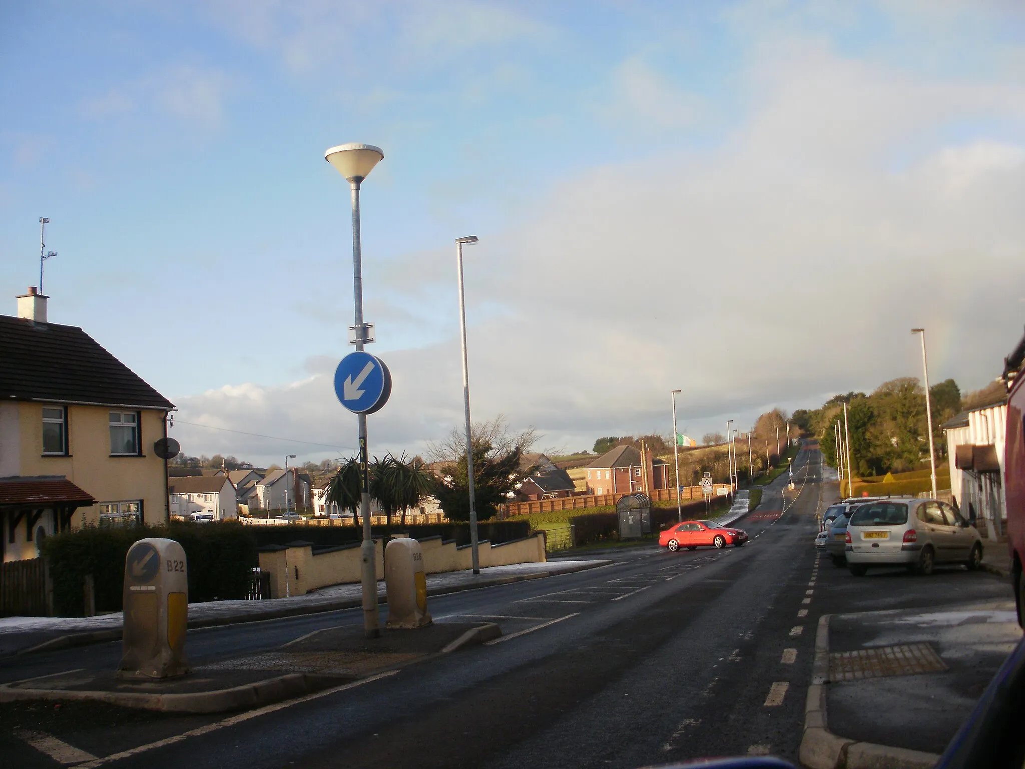
Magherafelt, located in Northern Ireland, offers cyclists a mix of urban and rural cycling experiences. Cyclists can explore the town's streets and enjoy the convenience of cycling within an urban setting. The surrounding areas provide scenic routes and rolling hills, perfect for road and gravel cycling. While Magherafelt does not have any famous cycling spots or well-known climbs, it offers a range of enjoyable routes for cyclists of all levels. With its friendly community and varied terrain, Magherafelt is an excellent destination for cyclists looking to combine urban cycling with scenic countryside rides.
Charming Countryside Adventure
Discover the hidden gems of Magherafelt's countryside
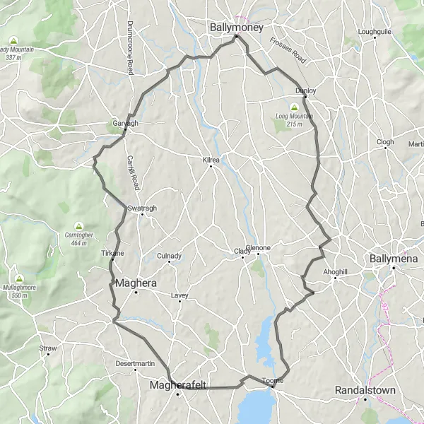
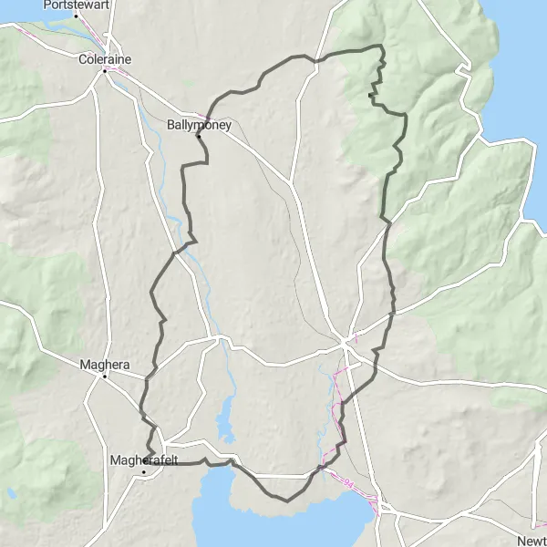
Embark on an exciting cycling adventure through the charming countryside near Magherafelt. This road route covers a distance of 107 kilometers with an ascent of 781 meters, making it suitable for well-trained amateur cyclists. Along the way, you'll encounter Tobermore at 9 kilometers, a picturesque village surrounded by stunning landscapes. You can take a moment to appreciate the beauty of the area before continuing on to Ballymoney, located at 49 kilometers. Ballymoney is known for its famous bronze statue of 'The Frolicking Monks', depicting a spirited scene of celebration. As you approach Dunloy at 60 kilometers, the charming village offers some delightful village cafes and glimpses into Northern Ireland's vibrant culture. Overall, this route provides a blend of natural beauty and cultural heritage.
Discover the extended version of the Magherafelt to Moneymore, Barnes Top, Craigagh Hill, and Tobermore loop, providing an extra challenge for experienced riders.
Extend your cycling adventure with this 90 km route, offering a more intense experience compared to its shorter counterpart. With an ascent of 1086 meters, this route is better suited for advanced cyclists who seek a thrilling challenge. Experience the wonders of Moneymore and explore must-visit attractions such as St Patrick's Church Ruins. Barnes Top and Craigagh Hill provide impressive scenic views throughout your journey, reminding you of the region's natural beauty. End your ride at Tobermore, complemented by picturesque vistas and a tranquil atmosphere.
Embark on a thrilling cycling adventure from Magherafelt to Moneymore, Cookstown, Sperrins Landscape, Claudy, Burnfoot, and Maghera.
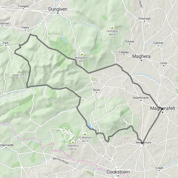
Covering a distance of 137 km, this road route is designed for experienced cyclists seeking a challenging adventure. With an ascent of 1687 meters, it offers a true test of endurance and the opportunity to conquer some notable landmarks. Dive into the historical hub of Moneymore before continuing your journey to the vibrant town of Cookstown. Marvel at the breathtaking Sperrins Landscape, characterized by its majestic rolling hills. Take a breather in Claudy before heading to Burnfoot, a village boasting stunning natural surroundings. Your journey concludes in Maghera, a richly historic settlement full of character and charm.
Experience the best of Northern Ireland on this captivating 147 km route from Magherafelt to Tamlaght, Kilrea, Ballymoney, The Dark Hedges, Armoy, and Broughshane.
With a distance of 147 km, this road route takes you through a variety of landscapes, showcasing the region's diverse beauty. With a challenging ascent of 1197 meters, it is recommended for experienced cyclists seeking a memorable and demanding adventure. Begin your journey with a visit to Tamlaght and marvel at Kilrea's charming highlight. Don't miss the magical ambiance of Ballymoney, marked by historic sites and captivating architecture. Experience the ethereal wonder of The Dark Hedges, made famous by its appearance in Game of Thrones. Indulge in Armoy's natural splendor and finish your ride in Broughshane, renowned for its blooming floral displays.
Exploring Historical Wonders
Discover the hidden treasures of Moneymore, Cookstown, and Desertmartin
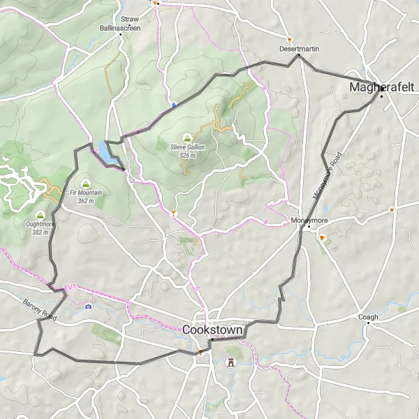
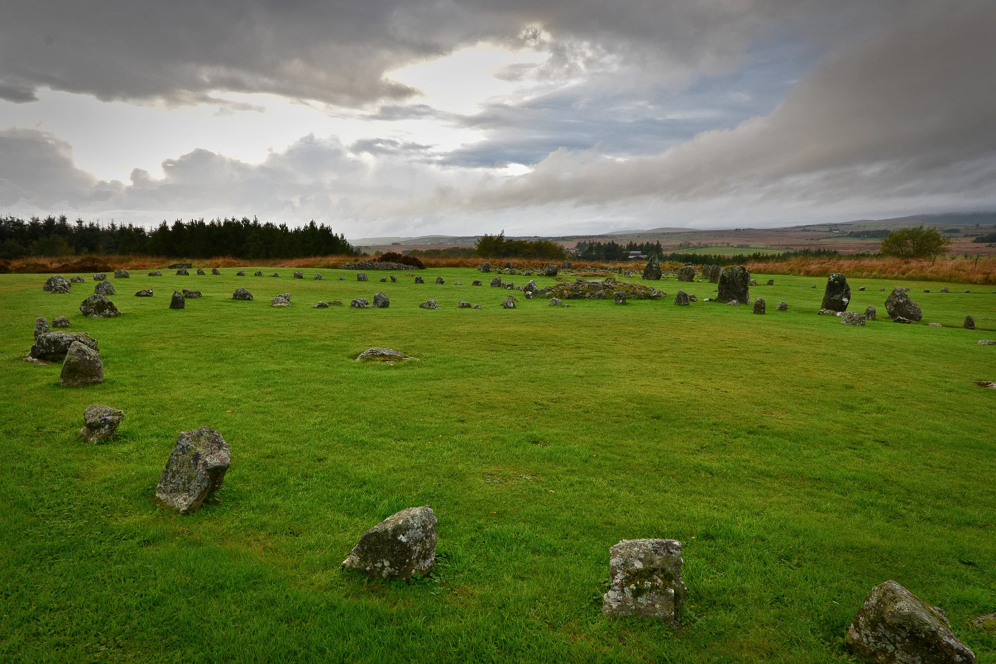
Embark on a captivating journey through history as you cycle through Moneymore, Cookstown, and Desertmartin. This road route covers a distance of 63 kilometers with an ascent of 666 meters, making it ideal for moderately trained amateur cyclists. Begin your adventure in Moneymore, located at 8 kilometers, and explore the village's historical sites, including the Manor House and the Workhouse Museum. As you continue, you'll pass through Cookstown at 18 kilometers, where you can immerse yourself in the town's rich heritage and vibrant culture. At 38 kilometers, Oughtmore presents a site of archaeological interest with its standing stone circle. The route concludes in Desertmartin at 58 kilometers, offering a visit to the historic church and the captivating landscapes. Overall, this route provides a fantastic opportunity to delve into Northern Ireland's fascinating past while enjoying the beauty of the surrounding countryside.
An adventurous road route through Tobermore and Dungiven
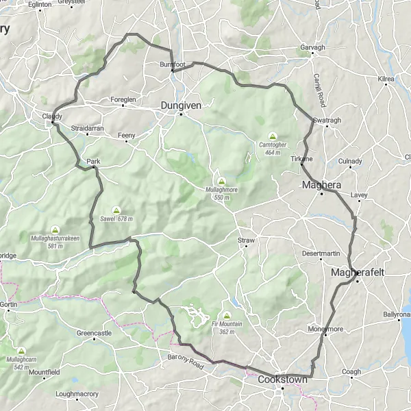
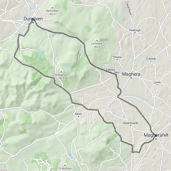
Gear up for an adrenaline-filled cycling expedition through Tobermore and Dungiven. With an ascent of 918 meters and a distance of 74 kilometers, this road route near Magherafelt presents a challenge suitable for experienced amateur cyclists. The highlight of the ride is Craigagh Hill at 26 kilometers, where you can get your heart racing while conquering its steep slopes. As you move forward, you'll come across Dungiven at 42 kilometers, a picturesque town known for its historical buildings and natural beauty. This route offers a perfect blend of adventure and scenic delights, making it a thrilling choice for avid cyclists.
Immerse in Nature's Charm
Experience the beauty of Kilrea and Clady
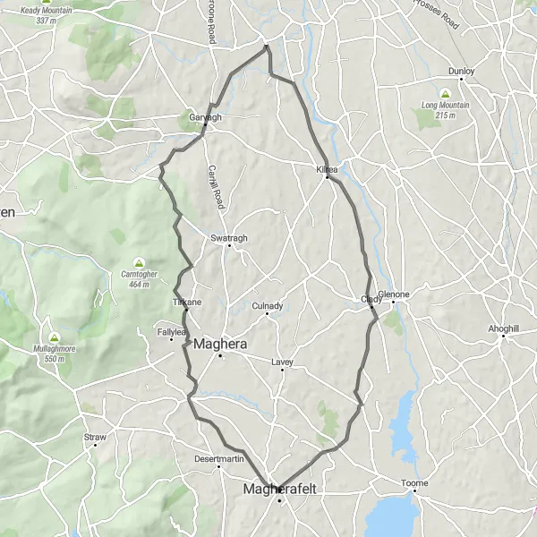
Indulge in the serene nature and vibrant heritage of Kilrea and Clady with this road cycling route near Magherafelt. Spanning a distance of 78 kilometers, this route boasts an ascent of 540 meters and is suitable for moderately trained amateur cyclists. At 10 kilometers, you'll encounter Kilrea, a charming town known for its tranquil riverside setting and scenic walking trails. Enjoy the peaceful atmosphere before continuing towards Clady at 62 kilometers. Clady offers a sense of historical charm with its traditional houses and picturesque landscapes. With its combination of nature and historic charm, this route promises an unforgettable cycling experience.

Embark on a scenic cycling tour from Magherafelt, passing through Desertmartin, Kilrea, Clady, and Bellaghy.
This 74 km road route offers a balanced combination of breathtaking landscapes, charming villages, and historic landmarks. With an ascent of 525 meters, it's suitable for cyclists of various skill levels, offering a pleasant ride with serene surroundings. Explore the beauty of Desertmartin and discover hidden gems like Kilrea, known for its picturesque main street. Delve into history in Clady before arriving in Bellaghy, a village known for its rich literary heritage. Take a moment to soak in the peaceful atmosphere of this quaint village and appreciate its traditional Irish charm.
The Bellaghy Experience

A countryside route with historic highlights
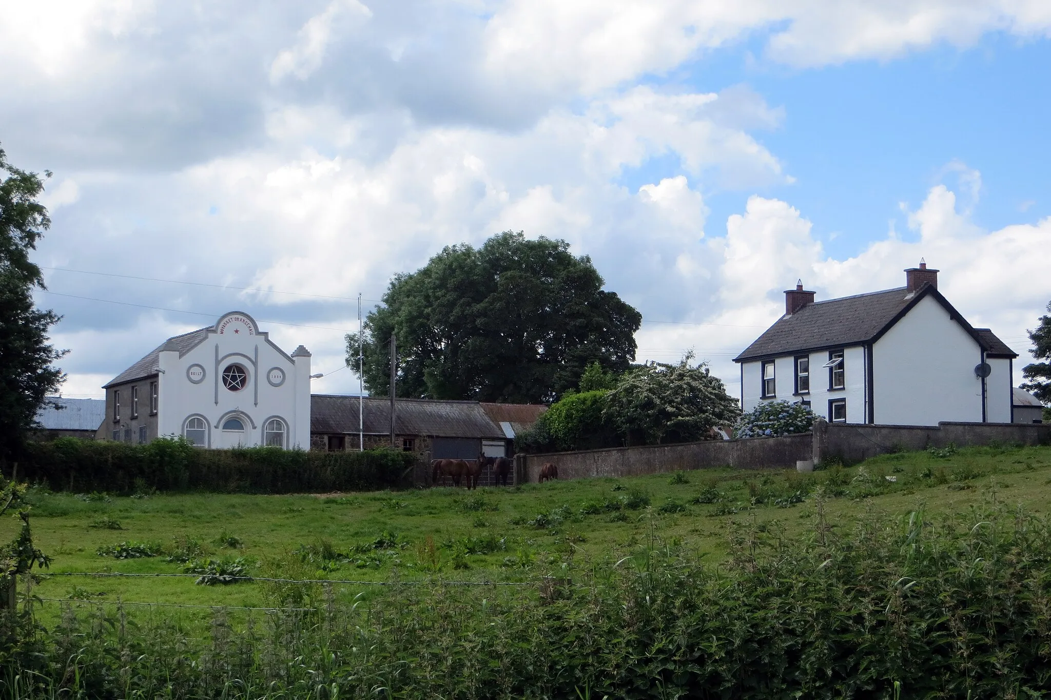
This distinctive cycling route near Magherafelt takes you through picturesque countryside and offers a glimpse into Northern Ireland's rich history. With a total distance of 76 kilometers and an ascent of 502 meters, this road route is suitable for amateur cyclists with moderate training. The highlight of the route is Bellaghy, located at 9 kilometers, where you can explore the fascinating Bellaghy Bawn and immerse yourself in the cultural heritage of the area. Along the way, you'll also pass Glarryford at 32 kilometers and Ballymena at 47 kilometers, each offering their own unique attractions. Overall, this route provides a tranquil and engaging cycling experience.

Experience serene landscapes on this challenging route from Magherafelt to Moneymore, Barnes Top, Craigagh Hill, and Tobermore.
This 87 km route takes you through some of Northern Ireland's most picturesque landscapes, with breathtaking views of the Moneymore area. With an ascent of 1019 meters, it offers a challenging ride for seasoned cyclists. Explore historic landmarks such as St Patrick's Church Ruins and immerse yourself in the beauty of the Barnes Top and Craigagh Hill. Don't forget to stop at Tobermore, known for its natural beauty and charming surroundings.
Cycling routes nearby:
Nearby regions: