Embark on a captivating cycling journey along the North Coast from Ballykelly.
Cycling routes from Ballykelly
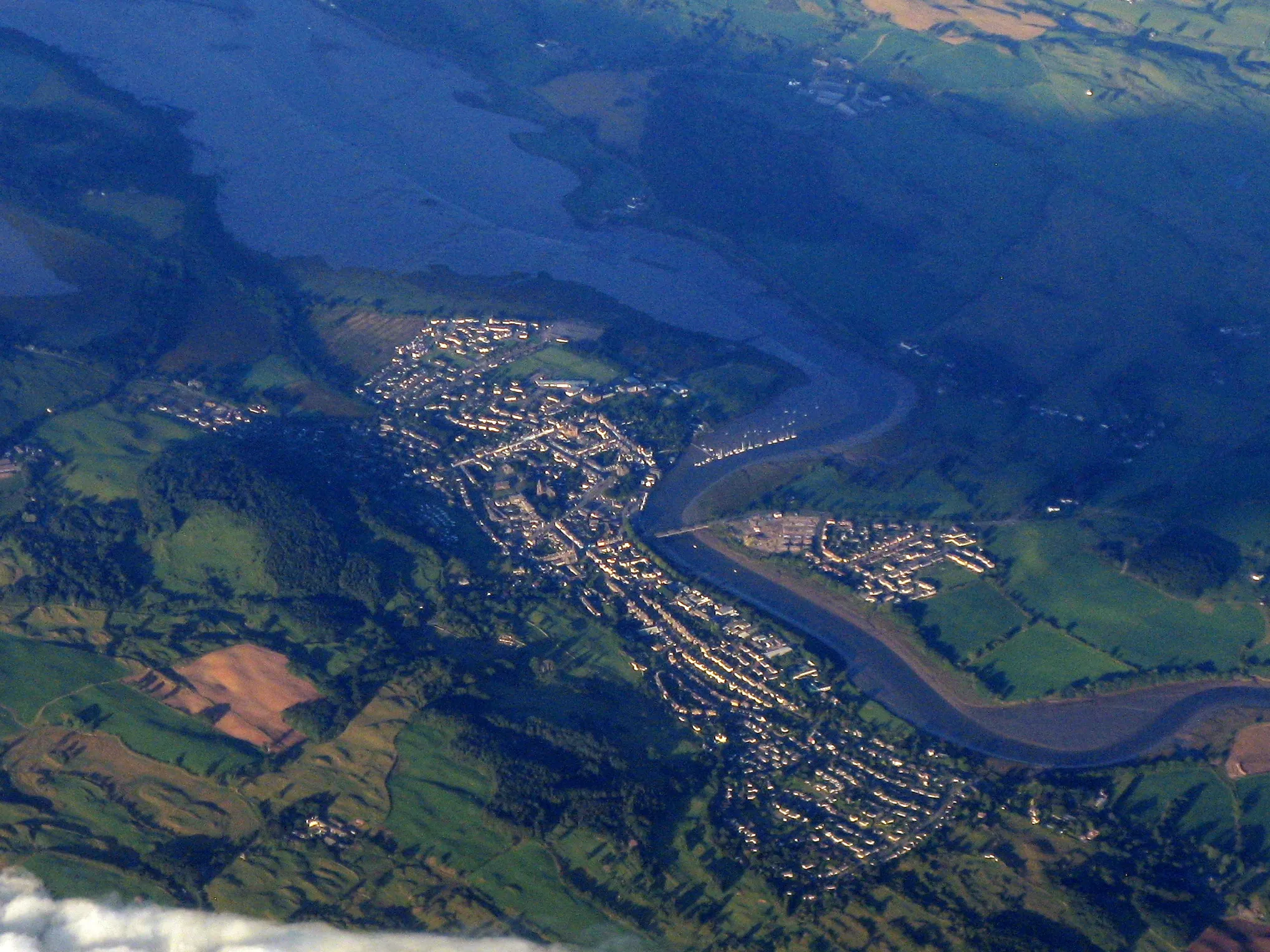
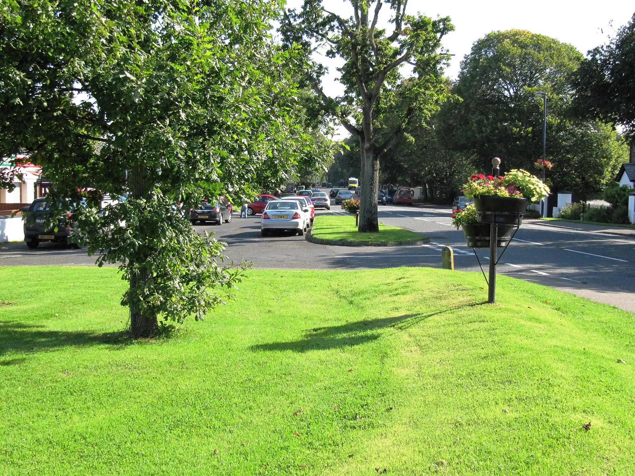
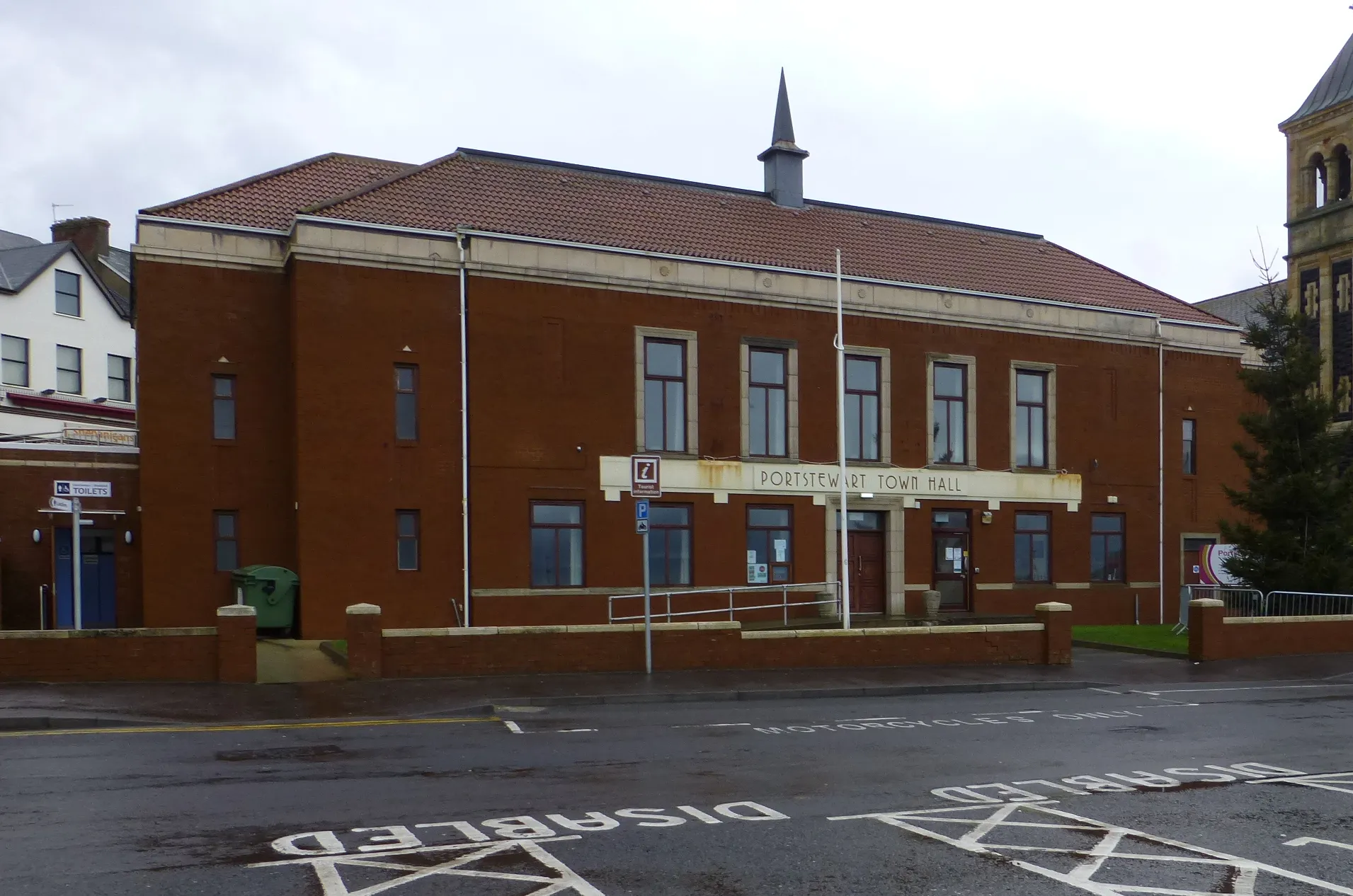
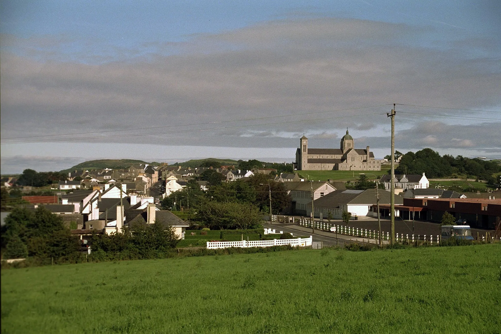
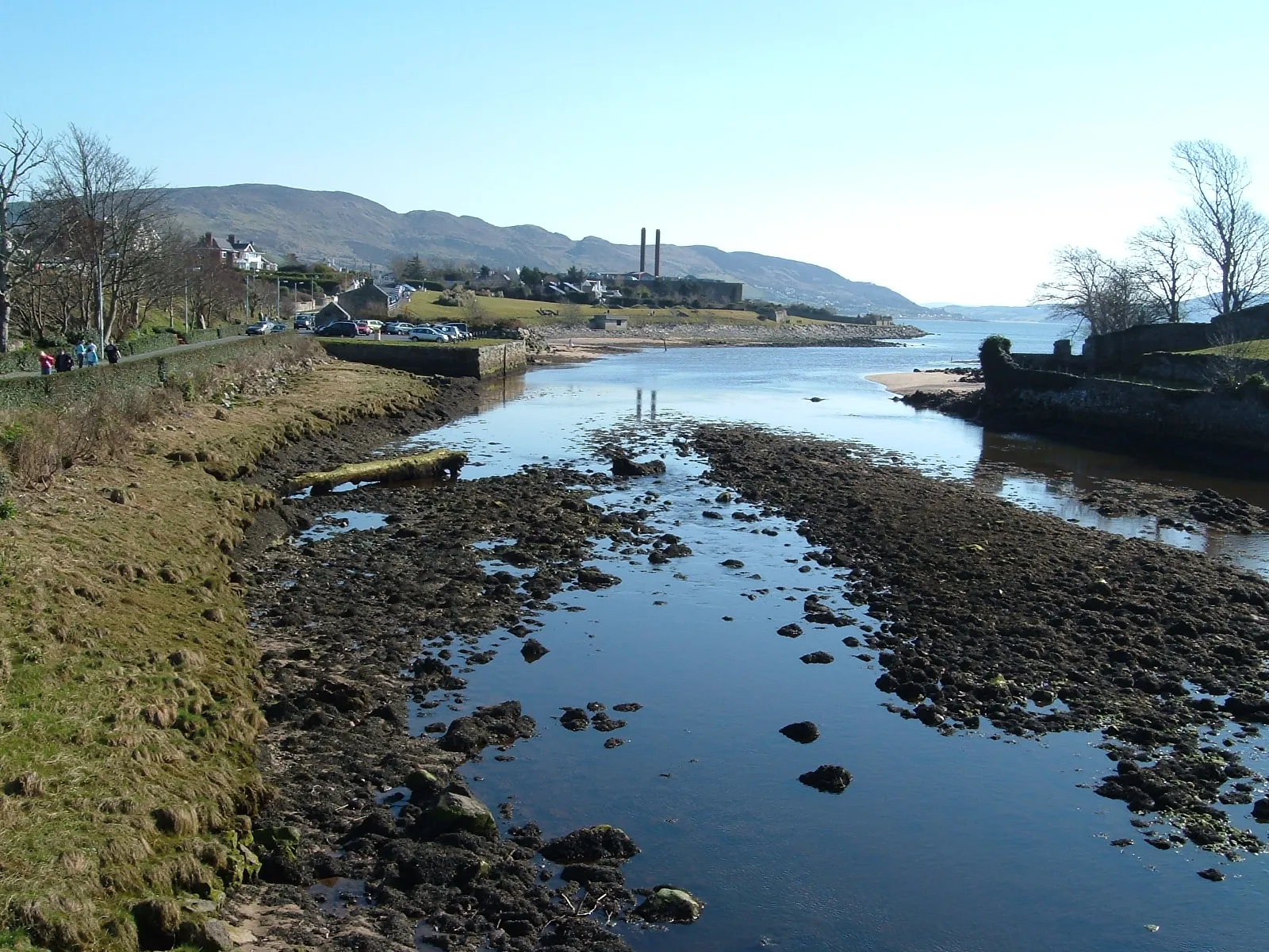
Ballykelly, located in Northern Ireland, is a paradise for road cyclists. Situated near the scenic North Coast, the locality offers beautiful coastal routes with stunning views of the Atlantic Ocean. Cyclists can explore the iconic Causeway Coastal Route, known for its scenic beauty and challenging climbs. From Ballykelly, cyclists can even venture towards famous cycling landmarks like the Giant's Causeway and Torr Head. Ballykelly provides a memorable and exhilarating cycling experience for enthusiasts.
Challenge yourself with a hilly road cycling route in the scenic countryside near Ballykelly
Hillside Adventure is a challenging road cycling route starting near Ballykelly that exposes you to the hills and valleys of the countryside. With a distance of 93 kilometers and an ascent of 1085 meters, this route offers exhilarating climbs and breathtaking vistas. The difficulty level of this route is high, suitable for well-trained amateur cyclists seeking a physically demanding challenge. With an epicness level of 4, it offers a memorable cycling experience with stunning views.
Embark on a challenging road cycling adventure through stunning countryside landscapes
Countryside Exploration is a challenging road cycling route starting near Ballykelly. Covering a distance of 109 kilometers with a total ascent of 1093 meters, this route offers stunning countryside views and exhilarating climbs. The difficulty level of this route is high, suitable for well-trained amateur cyclists seeking a challenging ride. With an epicness level of 4, it offers a thrilling cycling experience with a variety of landscapes along the way.
Ride through the scenic countryside near Ballykelly
Discover the picturesque countryside near Ballykelly on this 61 km loop. Experience a range of terrains and enjoy stunning views as you cycle through charming villages and rolling hills.
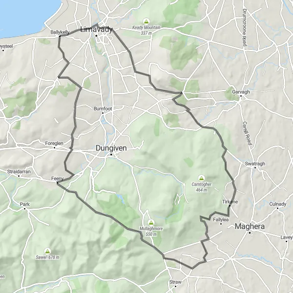
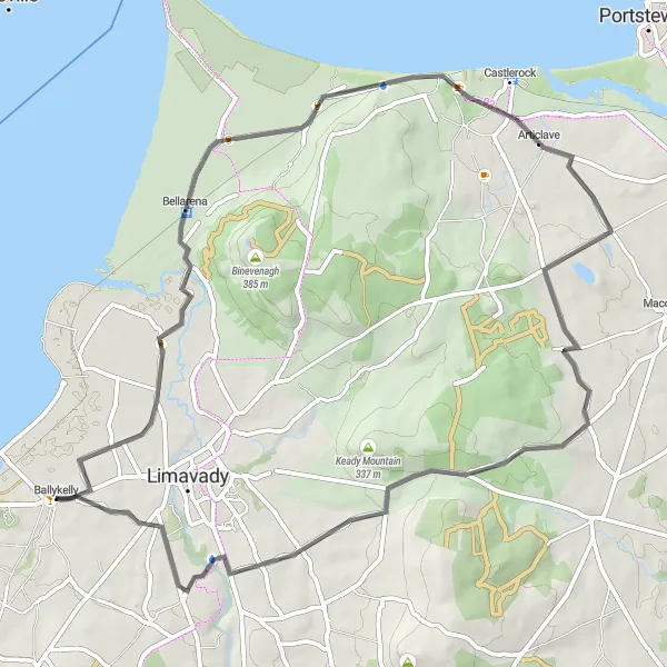
Ballykelly Escape
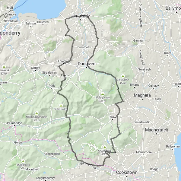
Embark on a thrilling cycling adventure from Ballykelly to Feeny.
The Ballykelly Escape is an epic road cycling route that spans 131 km with a challenging ascent of 1589 meters. This route promises a thrilling adventure through the diverse landscapes of Ballykelly. Explore the villages of Drumsurn and Burnfoot before venturing further through Dungiven Castle and Barnes Top. The final stretch takes you to Feeny, with its stunning natural beauty and captivating charm.
Drumsurn Delight

Embark on a thrilling cycling adventure through Drumsurn.
Embark on a thrilling adventure through the charming village of Drumsurn. The Drumsurn Delight route spans 91 km with a moderate ascent of 1016 meters. Discover the rugged beauty of the area as you tackle Craigagh Hill, experiencing the thrill of conquering challenging terrain. Pass through the picturesque landscapes surrounding Ballykelly and Drumsurn on this exhilarating road cycling journey.
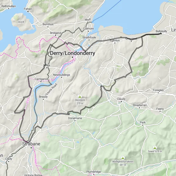
Coastal Trail Adventure
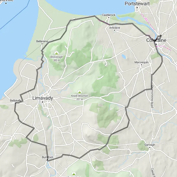
Enjoy a scenic coastal trail along Northern Ireland's breathtaking coastline
Coastal Trail Adventure is a road cycling route that promises a mix of tranquility and coastal beauty. Starting near Ballykelly, this 82-kilometer route with a total ascent of 687 meters takes you through charming towns and picturesque coastal landscapes. The difficulty level of this route is moderate, suitable for well-trained amateur cyclists. With an epicness level of 3, it offers a delightful biking experience showcasing Northern Ireland's coastal charm.

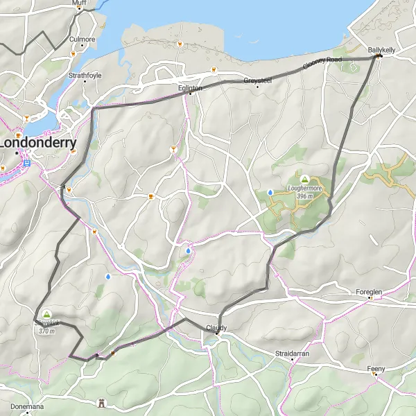
Embark on a challenging journey through Clondermot Hill on this 61 km road cycling route.
For those seeking a more demanding biking experience, the Clondermot Challenge is perfect. Covering a distance of 61 km and featuring a grueling ascent of 635 meters, this road cycling route is ideal for experienced riders. Along the way, you'll encounter the majestic Clondermot Hill and the historic town of Prehen. Greysteel, with its enchanting scenery, is an unforgettable highlight of the journey.
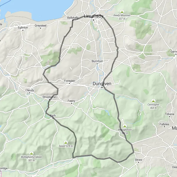
Discover ancient castles and beautiful valleys on this scenic road cycling route near Ballykelly
Castle and Valley Exploration is a scenic road cycling route starting near Ballykelly that offers a journey through historical sites and lush valleys. Covering 90 kilometers with an ascent of 1137 meters, this route provides a blend of fascinating history and stunning natural beauty. The difficulty level of this route is high, suitable for well-trained amateur cyclists looking for a challenging and rewarding ride. With an epicness level of 4, it offers an unforgettable cycling experience with captivating highlights.
Ballykelly and Beyond
A scenic road cycling route taking you through Ballykelly and its surrounding area
Ballykelly and Beyond is a picturesque road cycling route that starts near Ballykelly in Northern Ireland. With a total distance of 61 kilometers and an ascent of 420 meters, this route offers a mix of beautiful landscapes and charming towns. The difficulty level of this route is moderate, suitable for well-trained amateur cyclists. The epicness level of this route is 3, as it provides a pleasant and enjoyable cycling experience without any legendary climbs or famous spots.
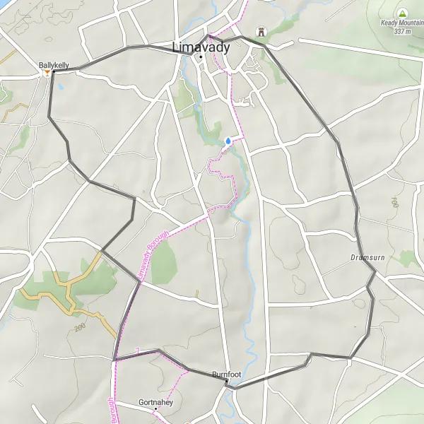
Ballykelly Loop
Experience the beauty of Ballykelly on this scenic cycling loop.
Explore the picturesque countryside of Ballykelly on this 35 km road cycling route. With a moderate ascent of 281 meters, cyclists of all levels can enjoy this ride. The route takes you through charming villages such as Drumsurn and Burnfoot, providing glimpses of the local culture and stunning landscapes along the way.
Cycling routes nearby:

Nearby regions: