Countryside Exploration
A road cycling route starting from Ballykelly
Embark on a challenging road cycling adventure through stunning countryside landscapes
Map
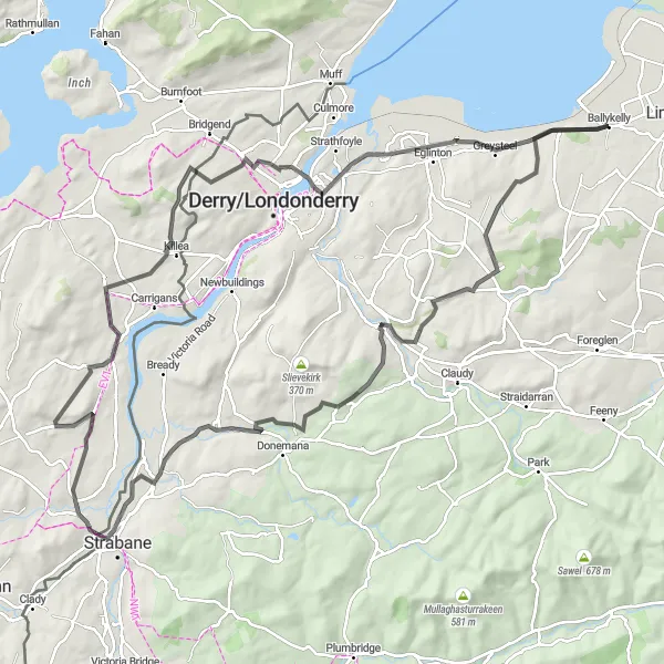
Countryside Exploration is a challenging road cycling route starting near Ballykelly. Covering a distance of 109 kilometers with a total ascent of 1093 meters, this route offers stunning countryside views and exhilarating climbs. The difficulty level of this route is high, suitable for well-trained amateur cyclists seeking a challenging ride. With an epicness level of 4, it offers a thrilling cycling experience with a variety of landscapes along the way.
road
109 km
1093 m
Tough
Route profile
Highlights on the route
0 km
0 km
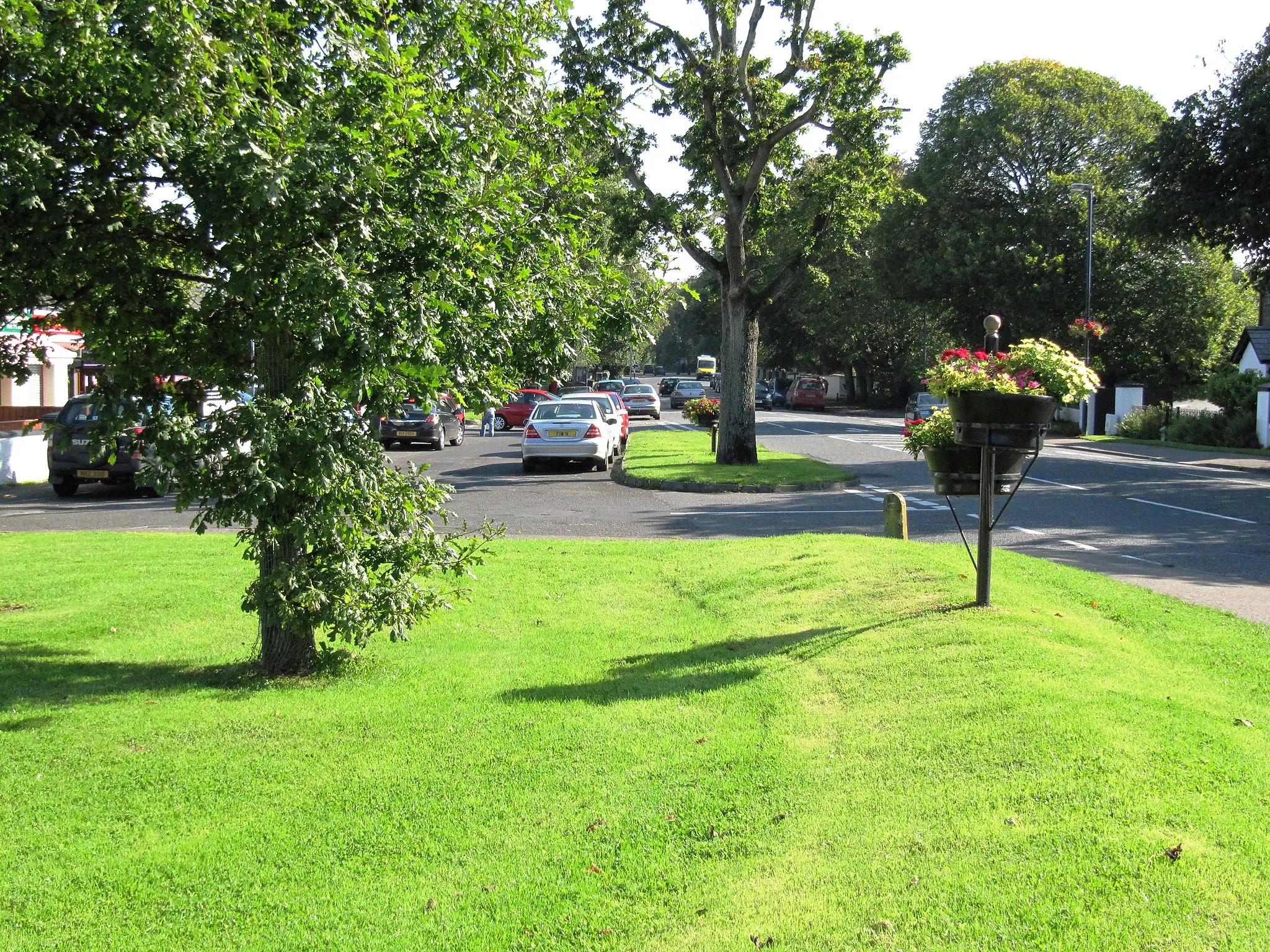
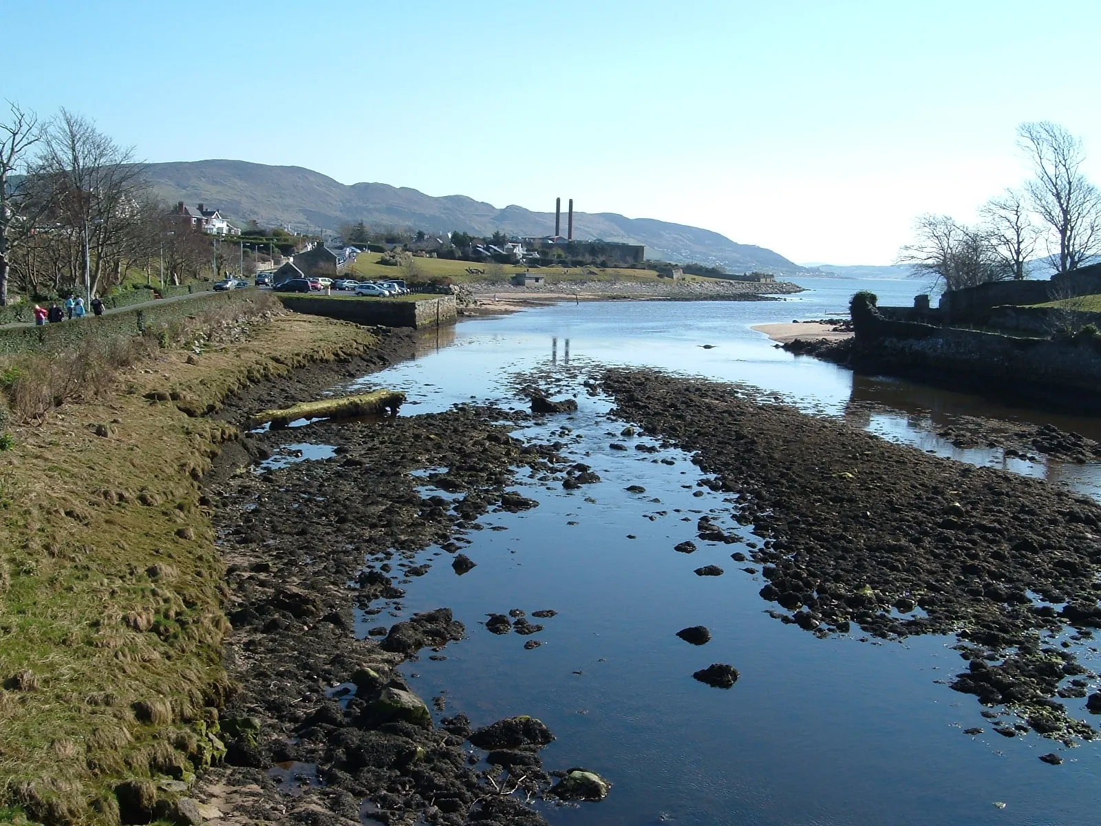
Start: Ballykelly Village centerBallykelly: Embark on a captivating cycling journey along the North Coast from Ballykelly.
Ballykelly, located in Northern Ireland, is a paradise for road cyclists. Situated near the scenic North Coast, the locality offers beautiful coastal routes with stunning views of the Atlantic Ocean. Cyclists can explore the iconic Causeway Coastal Route, known for its scenic beauty and challenging climbs. From Ballykelly, cyclists can even venture towards famous cycling landmarks like the Giant's Causeway and Torr Head. Ballykelly provides a memorable and exhilarating cycling experience for enthusiasts.0 km
0 km
BallykellyVillageBallykelly: Start your journey in Ballykelly, a small town rich in history and culture where you can stop for a quick exploration.
21 km
21 km
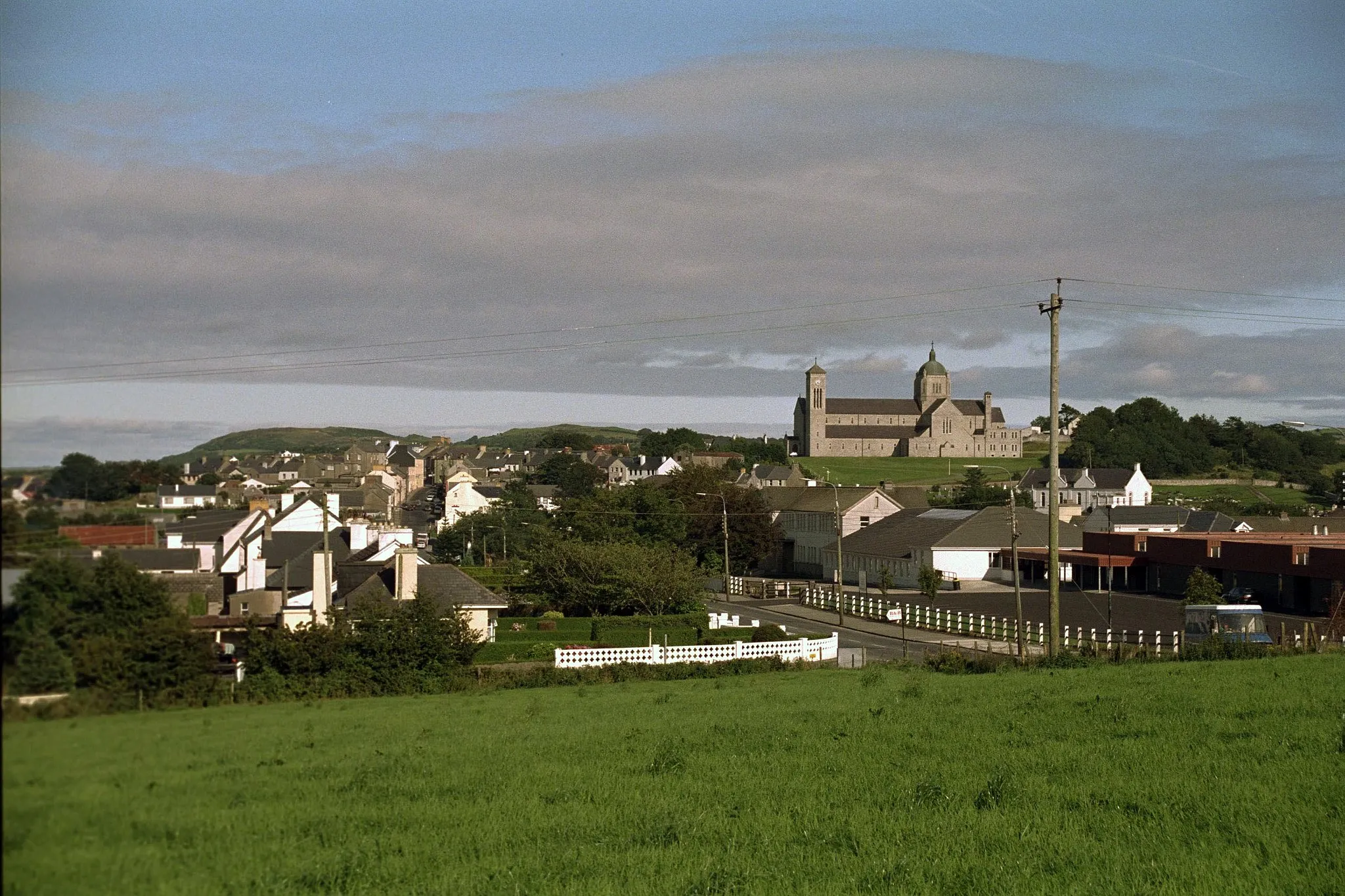
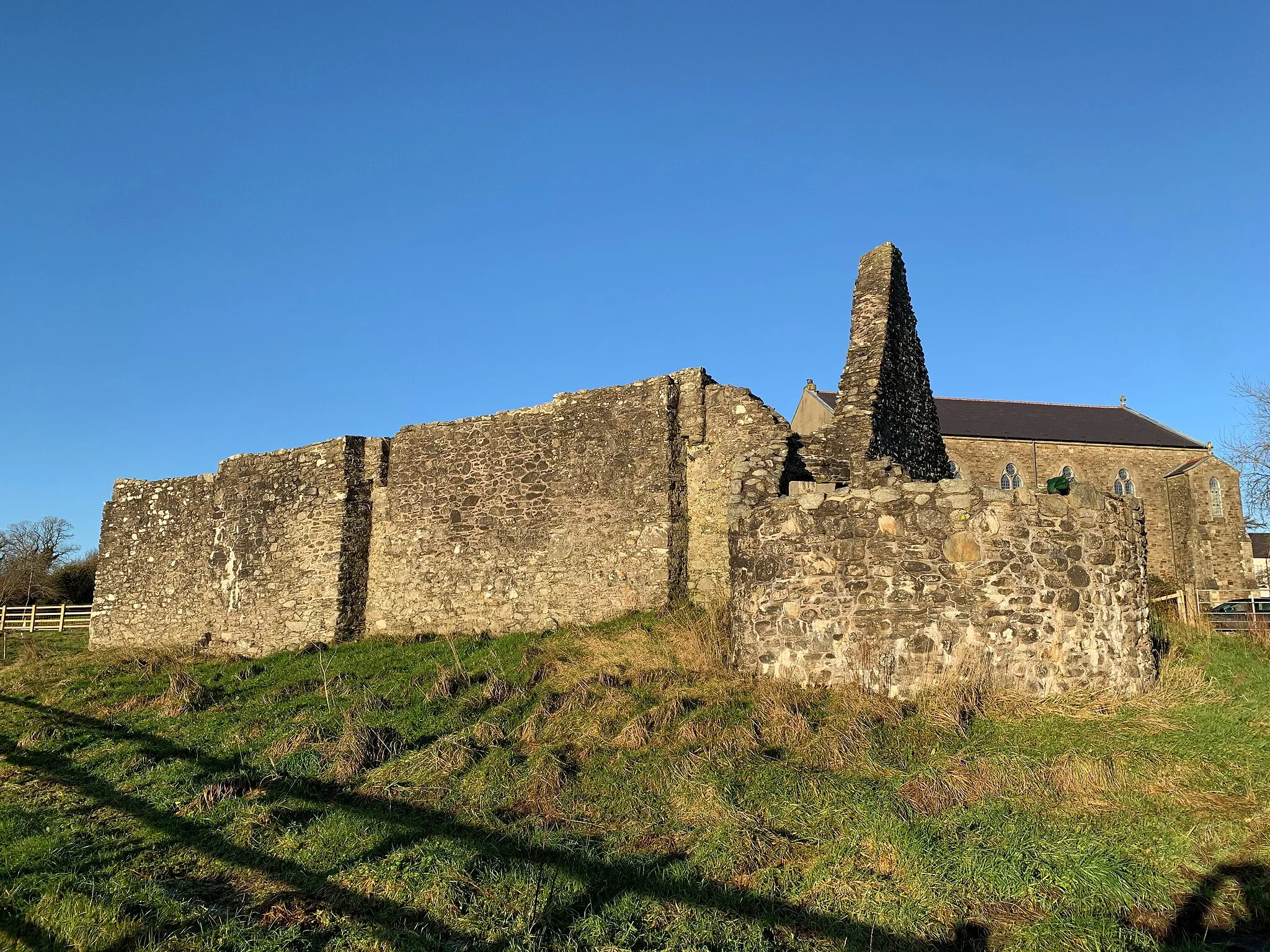
Brackfield BawnCastle RuinsBrackfield Bawn: Located 21 kilometers into the route, Brackfield Bawn is a historic fortress offering panoramic views of the surrounding countryside.
44 km
44 km
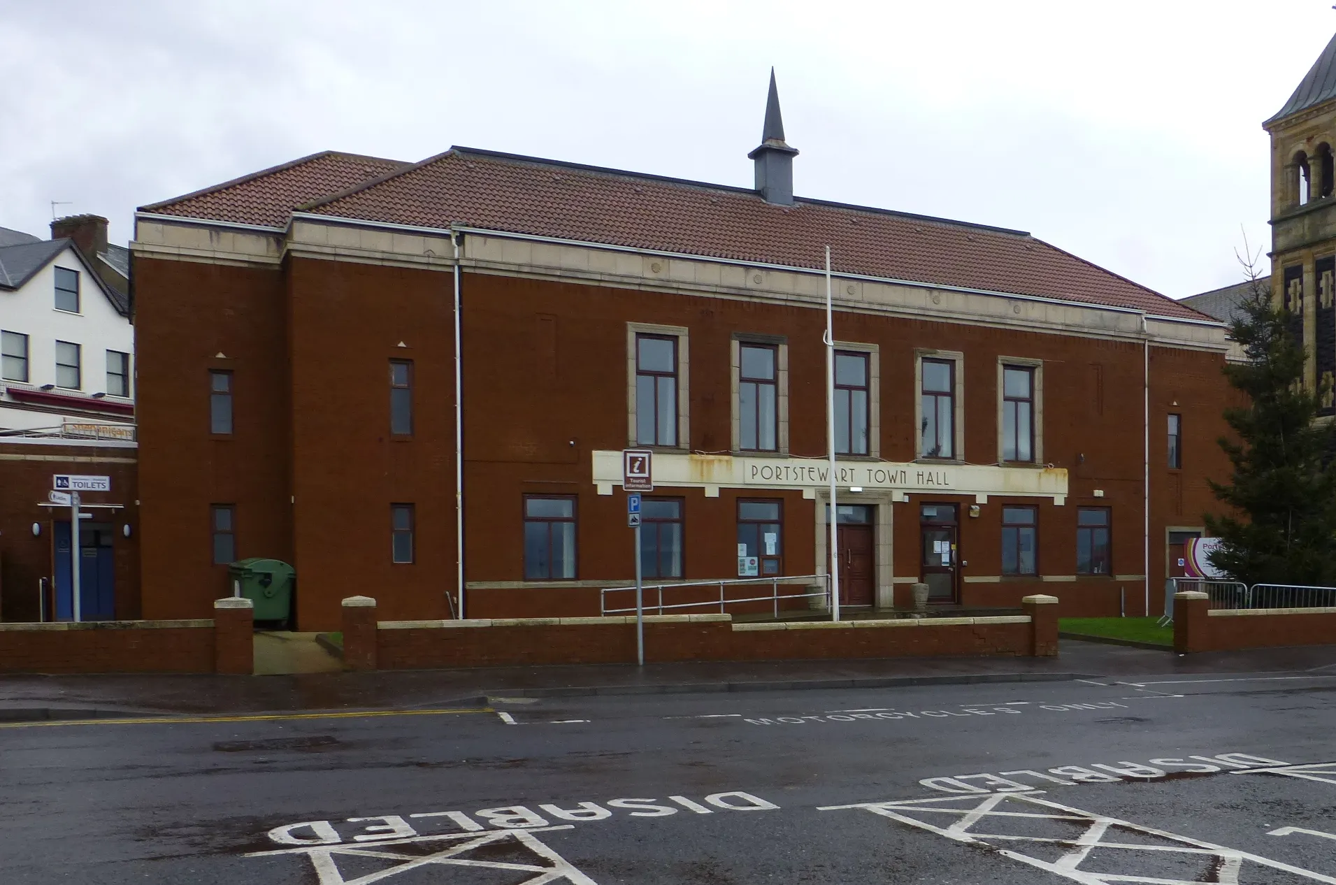
BallymagorryVillageBallymagorry: This village, situated 44 kilometers into the route, is known for its beautiful scenery and charming local pubs.
102 km
102 km
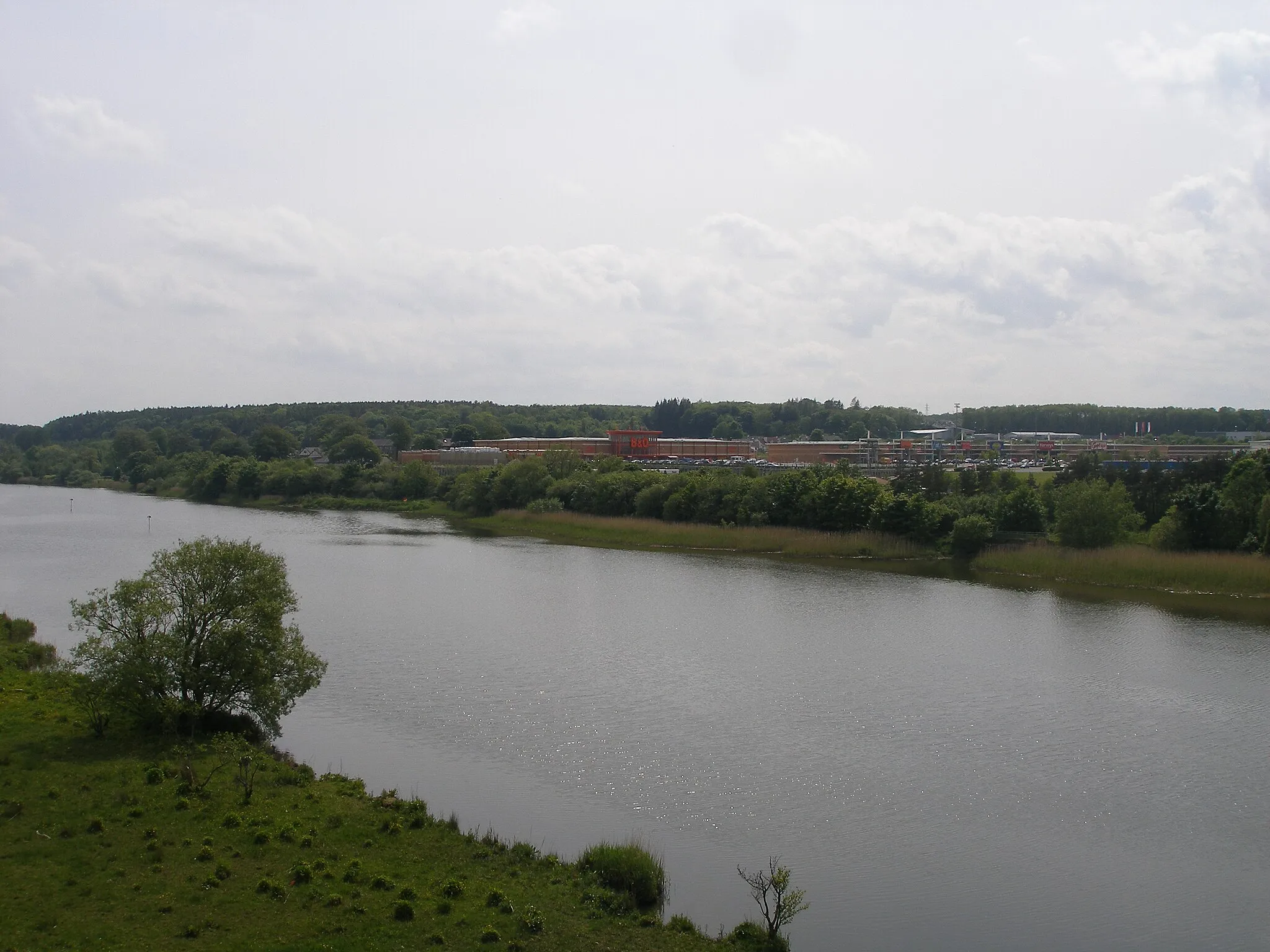
GreysteelVillageGreysteel: At 102 kilometers into the route, you'll reach Greysteel, a village with an intriguing history and picturesque surroundings.
109 km
109 km
Finish: Ballykelly Village centerBallykelly: Embark on a captivating cycling journey along the North Coast from Ballykelly.
Cycling routes nearby: