Tranquil Cycling in Northumberland
Cycling routes from Cowpen
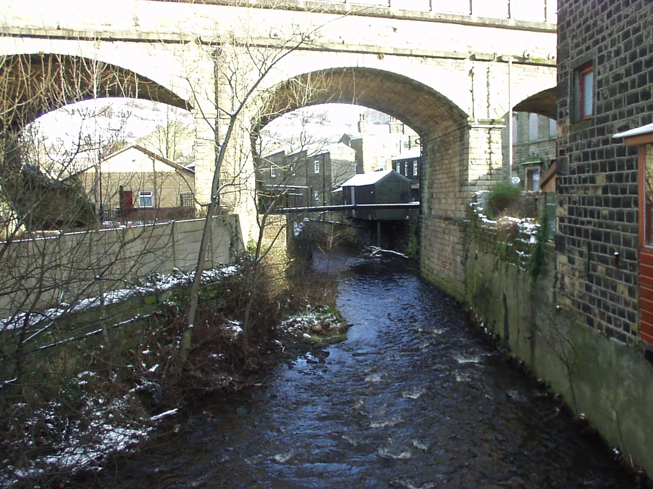
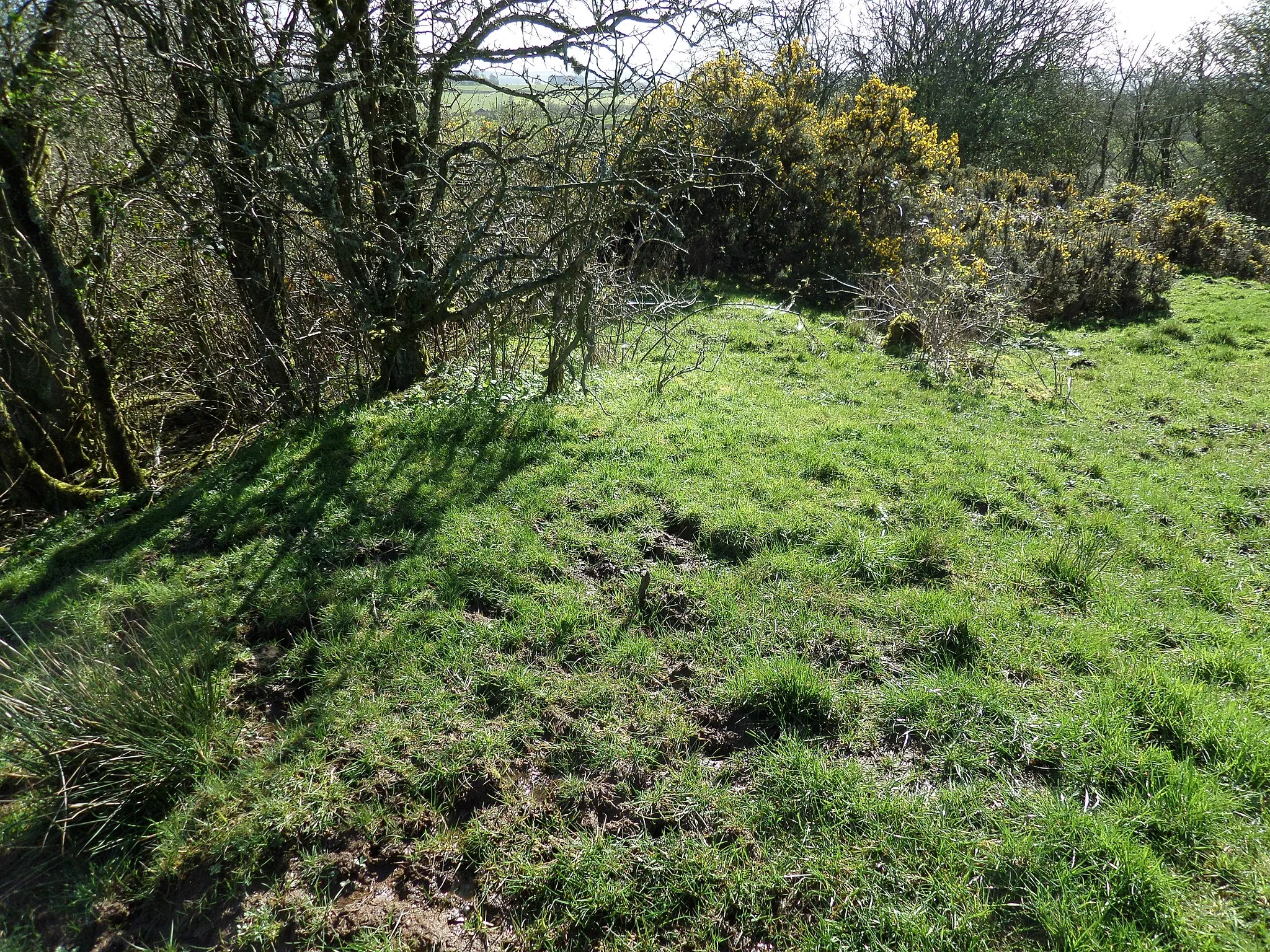
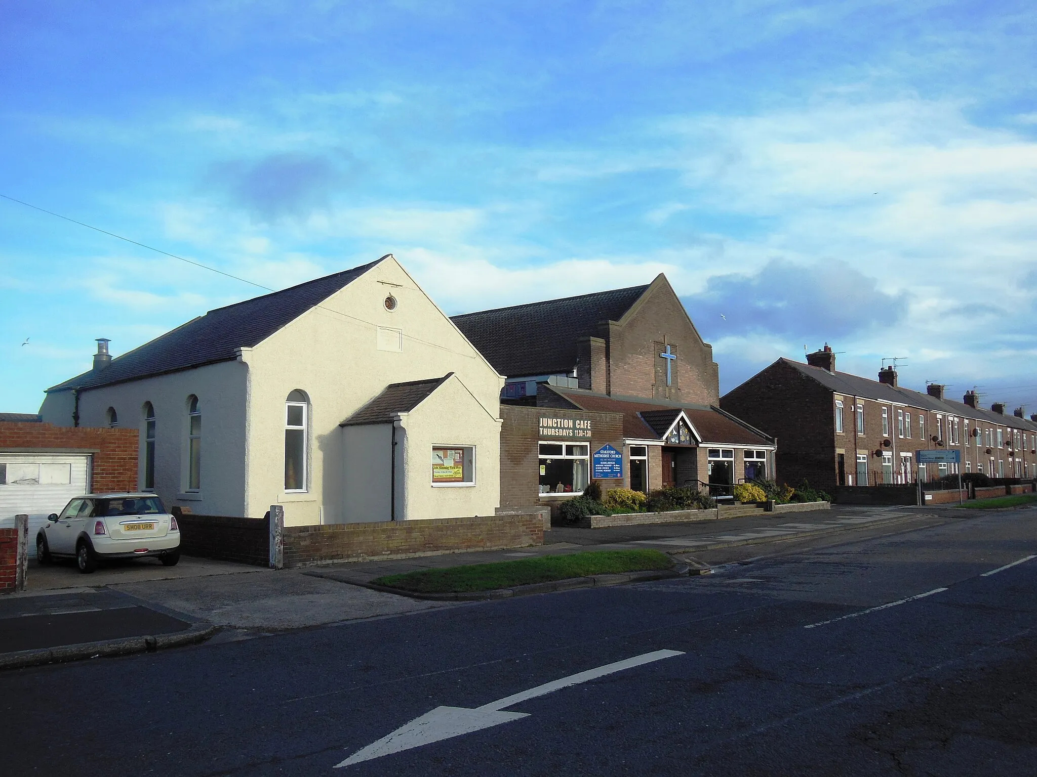
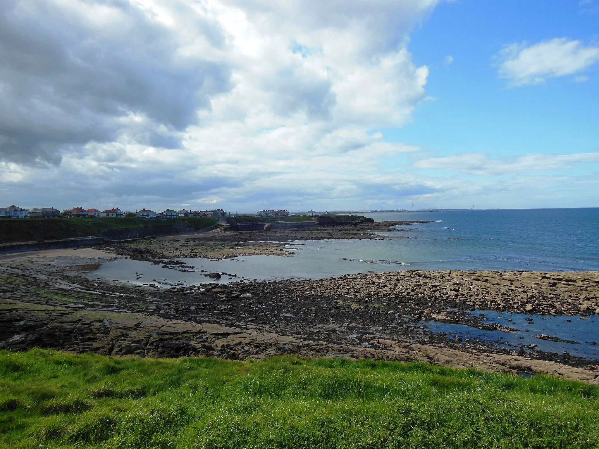
Cowpen is a locality in Northumberland and Tyne and Wear, United Kingdom that offers decent cycling opportunities. While not as famous as other cycling destinations in the region, Cowpen has some enjoyable road and gravel routes. Cyclists can explore the scenic countryside and rural areas surrounding Cowpen, with gentle hills and serene landscapes. While there are no iconic climbs in the immediate vicinity, avid cyclists can venture further out to visit popular climbs like Carter Bar. Overall, Cowpen is a pleasant locality for cyclists looking for some peaceful rides.
Enjoy a mix of coastal and countryside scenery on this thrilling gravel route
The Coast and Countryside Gravel Grinder is an exciting 67-kilometer route that takes cyclists on a journey through diverse landscapes. With an elevation gain of 286 meters, this route provides a manageable challenge for gravel enthusiasts. The highlight of this route is Seaton Delaval Hall, a magnificent country house surrounded by beautiful gardens. Other highlights along the way include Percy Main, Beacon Hill, Harton, and Seghill. This route offers a combination of coastal beauty and tranquil countryside vistas, making it a truly rewarding adventure.

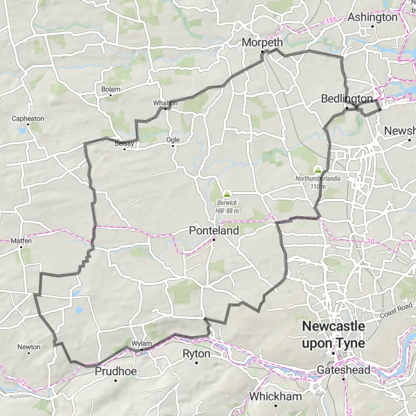
Embark on a challenging road ride starting from Cowpen and ending in Choppington.
This 70-kilometer road cycling route takes you through the scenic landscapes of Northumberland and Tyne and Wear. With a significant ascent of 421 meters, it offers a challenging ride for experienced cyclists.

Enjoy a scenic coastal road ride from Old Hartley to Blyth, taking in beautiful seaside views.
This 76-kilometer road cycling route offers stunning coastal views and picturesque towns. Suitable for road bikes, it features a moderate ascent of 322 meters.

Challenge yourself with this epic road cycling adventure, featuring scenic climbs and beautiful landscapes.
This 128-kilometer road cycling route takes you through challenging terrain and stunning landscapes. With a demanding ascent of 1198 meters, this ride is only suitable for well-trained cyclists.

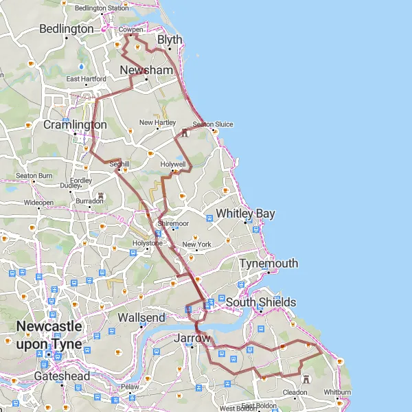
Embark on an epic gravel adventure through the stunning Northumberland countryside
The Northumberland Gravel Adventure is a challenging 97-kilometer route that takes cyclists on an epic journey through the breathtaking Northumberland countryside. With an elevation gain of 1004 meters, this route offers a thrilling workout for experienced gravel riders. The highlight of this route is the iconic Side and Dean street view from Tyne Bridge, offering panoramic vistas of the River Tyne and Newcastle skyline. Other highlights along the way include Dudley, Kibblesworth, Pontop Pike, Dipton, Ryton, Northumberlandia, and Bebside. This route showcases the best of Northumberland's natural beauty and offers a truly unforgettable gravel cycling experience.
Tynemouth Coastal Ride
Experience the stunning coastal views of Tynemouth on this scenic road cycling route
The Tynemouth Coastal Ride is a scenic road cycling route that offers cyclists the chance to experience the stunning views along the Tynemouth coastline. With a distance of 80 kilometers and an elevation gain of 374 meters, this route provides a moderate challenge for riders. The highlight of this route is Tynemouth, a vibrant coastal town known for its castle and sandy beaches. Other highlights along the way include Monkwearmouth–Jarrow Abbey, Down Hill, Side and Dean street view from Tyne Bridge, Haymarket, Weetslade Colliery Country Park, and Bebside. Overall, this route offers a mix of coastal beauty, historic landmarks, and charming villages.
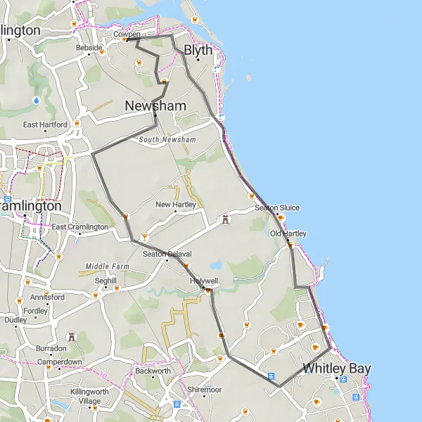
Embark on a gravel ride through the countryside, starting from Old Hartley.
This 40-kilometer gravel route takes you across the scenic countryside of Northumberland and Tyne and Wear. With an ascent of 172 meters, it offers a satisfying challenge for gravel bike enthusiasts.
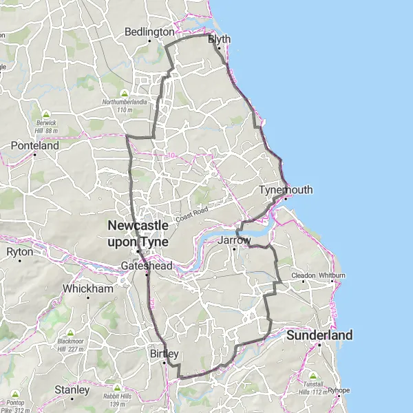
Discover the iconic Northumberlandia sculpture on this challenging road cycling route
The Northumberlandia Road Ride is a challenging 90-kilometer route that takes cyclists through the stunning Northumberland countryside. With an elevation gain of 581 meters, this route offers a tough but rewarding workout for experienced riders. The highlight of this route is the Northumberlandia sculpture, a unique land art installation that resembles a reclining female figure. Other highlights along the way include Dinnington, Wylam, Heugh, Whalton, Haw Hill, and Bebside. Overall, this route provides cyclists with a scenic and challenging adventure through the beautiful Northumberland countryside.
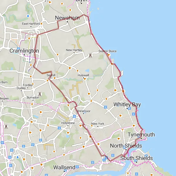
Seaton Delaval Loop
Explore the stunning Seaton Delaval Hall on this scenic gravel route
The Seaton Delaval Loop is a picturesque gravel route that takes cyclists on a journey through the beautiful countryside near Cowpen. With a distance of 63 kilometers and an elevation gain of 337 meters, this route offers a moderate challenge for riders. Starting near Cowpen, the highlight of this route is Seaton Delaval Hall, a historic manor house known for its stunning architecture and gardens. Other highlights along the way include Jarrow, Sheriff Hill, Haymarket, Dudley, and Bebside.
Seaton Delaval to Blyth Loop
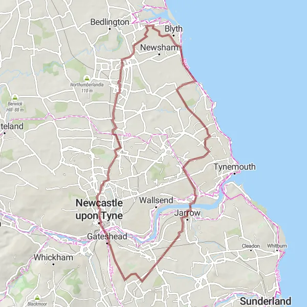
Explore the coastal towns of Seaton Delaval, Monkseaton, and Blyth on this scenic road cycling route.
This 30-kilometer loop takes you along the beautiful coastline of Northumberland and Tyne and Wear. With a moderate ascent of 71 meters, it offers panoramic views of the sea and charming seaside towns. The route is suitable for road bikes.
Cycling routes nearby:
Nearby regions: