Cycling oasis in the midst of Northumberland
Cycling routes from Cramlington
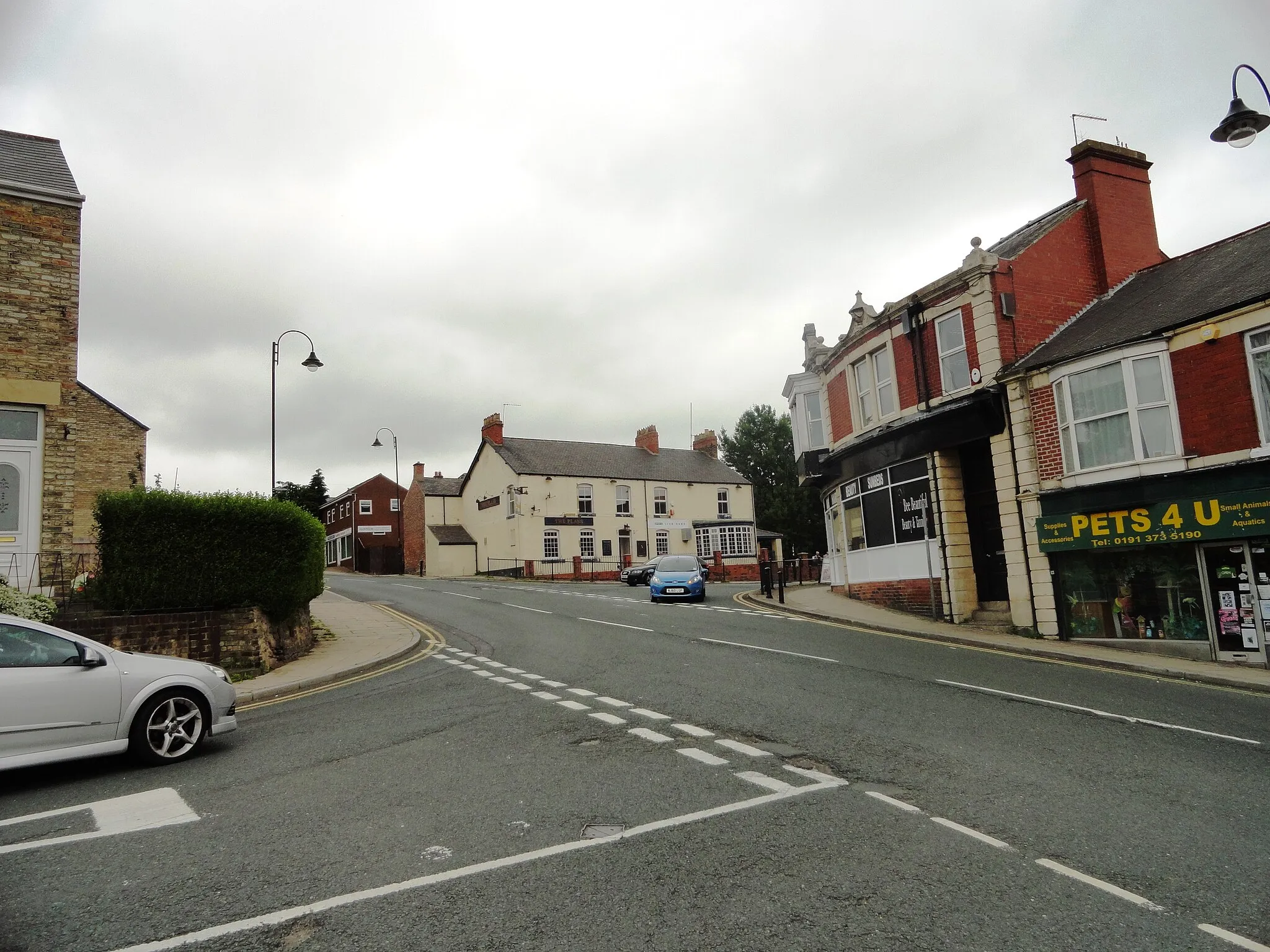
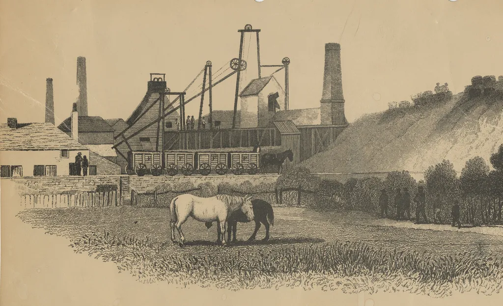
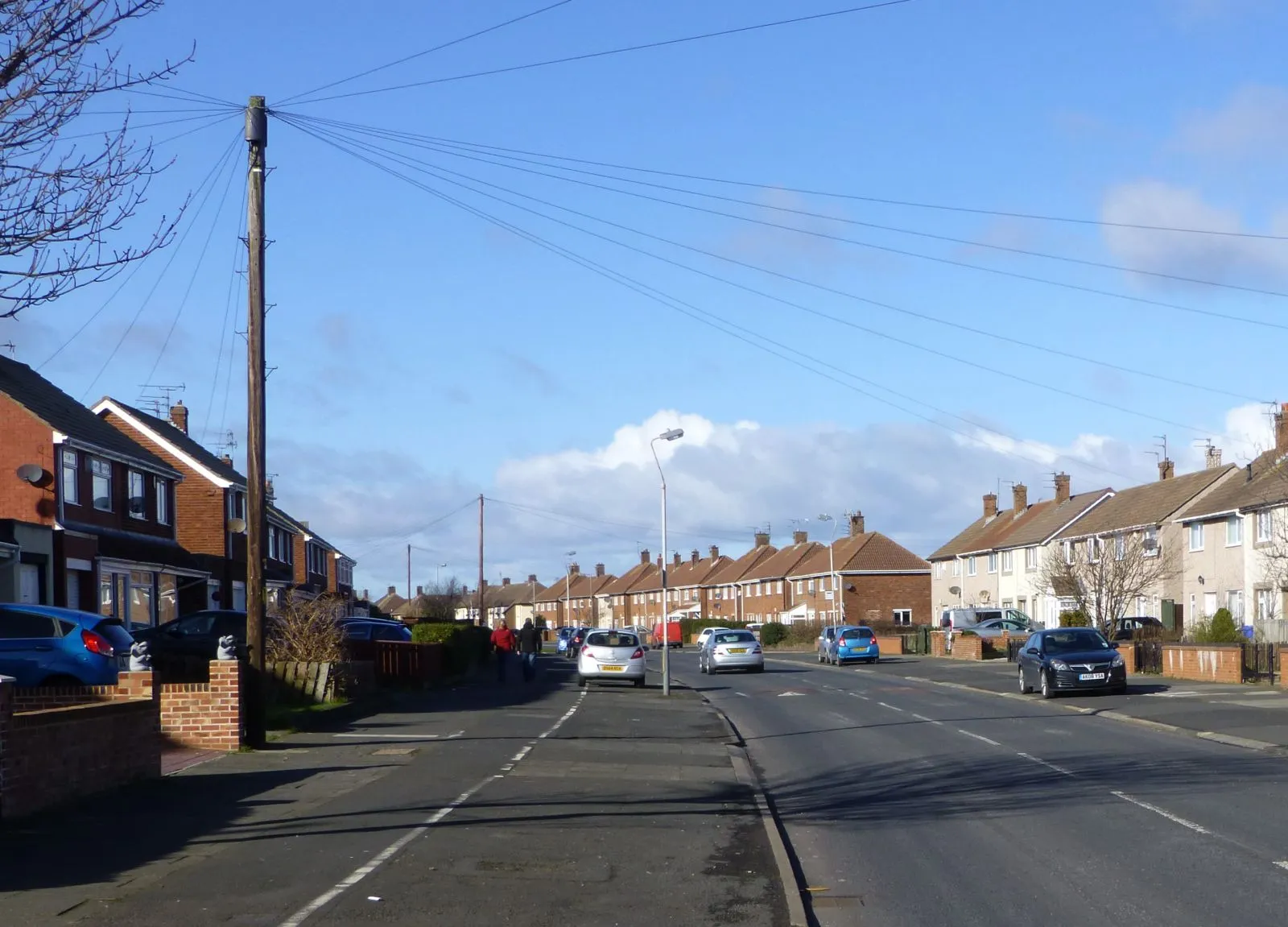
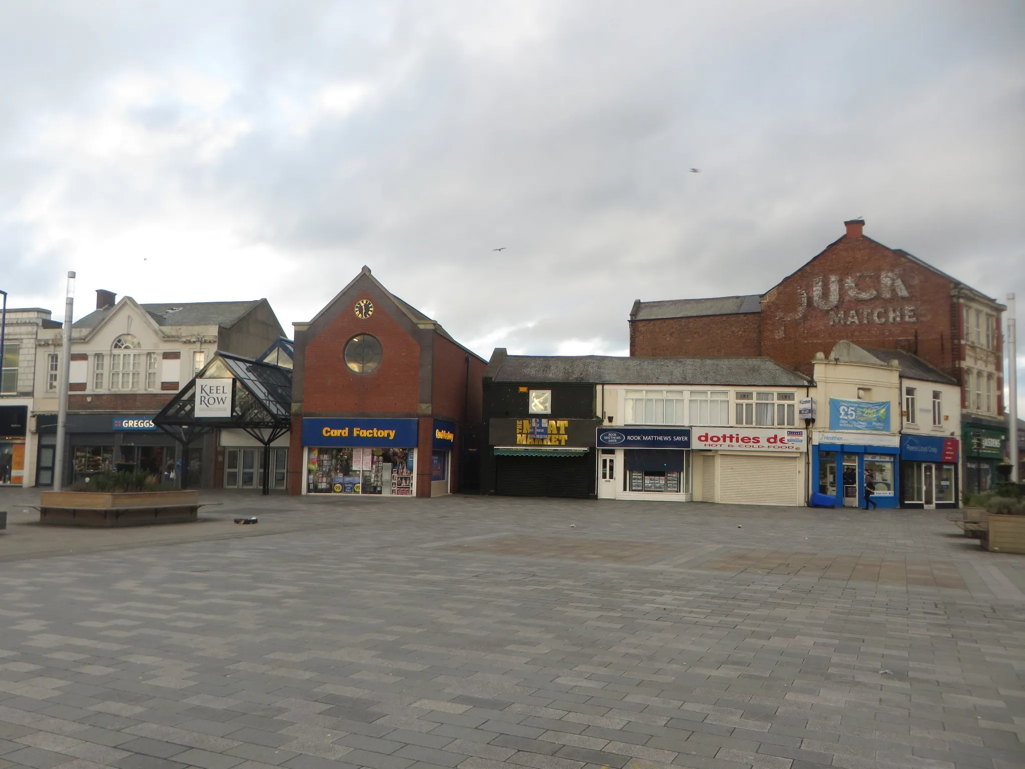
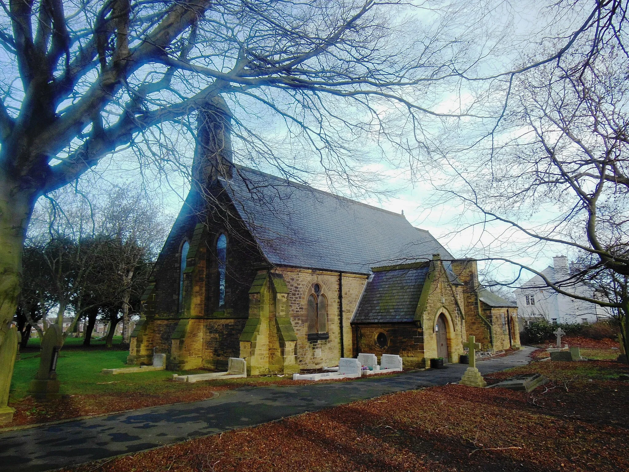
Cramlington, located in the Northumberland and Tyne and Wear region of the United Kingdom, is a cycling-friendly locality with a mix of urban and rural landscapes. The town provides cyclists with a network of well-maintained cycling paths and quiet roads, making it a pleasant place to explore on two wheels. One of the popular cycling routes nearby Cramlington is the Lance Armstrong Trail, offering a challenging yet rewarding experience for road cycling enthusiasts. Cramlington is a great starting point for cyclists looking to immerse themselves in the natural beauty of the region.
Cramlington and Burradon Loop
Discover the scenic route from Cramlington to Burradon
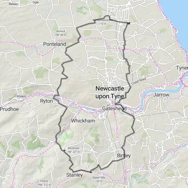
This round-trip cycling route takes you from Cramlington to Burradon, showcasing the natural beauty of Northumberland and Tyne and Wear. With a distance of 80km and an ascent of 794m, this road route is suitable for well-trained amateur cyclists. The route includes highlights such as Burradon, Side and Dean street view from Tyne Bridge, Black Hill, High Urpeth, Winlaton, Westerhope, Northumberlandia, and Cramlington itself. Explore picturesque landscapes, charming towns, and iconic landmarks along the way.
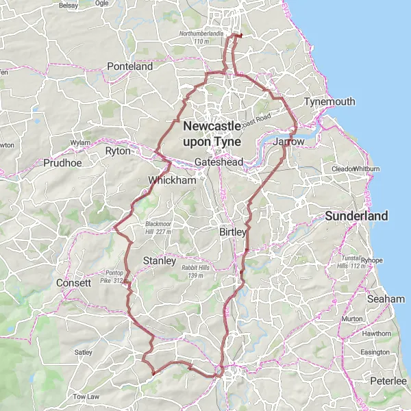
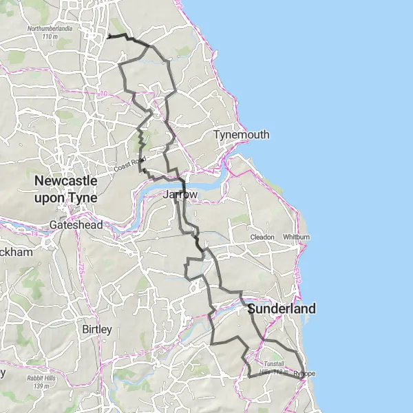
Cycle from Cramlington to Jarrow through scenic Ushaw Moor
This route takes you on a picturesque cycling journey from Cramlington to Jarrow, passing through the charming town of Ushaw Moor. With a distance of 105 kilometers and an ascent of 813 meters, this ride is suitable for well-trained amateurs. It offers a mix of road and gravel terrain, making it perfect for gravel bike enthusiasts. The route provides opportunities to enjoy beautiful views and explores various highlights along the way.
Experience a scenic countryside loop around Tranwell starting from Cramlington.
This leisurely 36 km road cycling route takes you on a circular journey through the beautiful Northumberland and Tyne and Wear countryside. Starting near Cramlington, you'll ride through tranquil lanes and enjoy picturesque vistas along the way. The route includes a total ascent of 160 meters, making it suitable for cyclists of all skill levels.
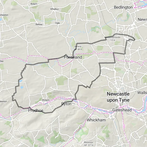
Embark on a scenic road cycling adventure from Cramlington to Northumberlandia.
This moderate to challenging 71 km route takes you on a journey through picturesque countryside and culminates in a visit to the awe-inspiring Northumberlandia sculpture park. Starting near Cramlington, the route offers a total ascent of 480 meters. You'll encounter rolling hills, charming villages, and stunning rural landscapes along the way.
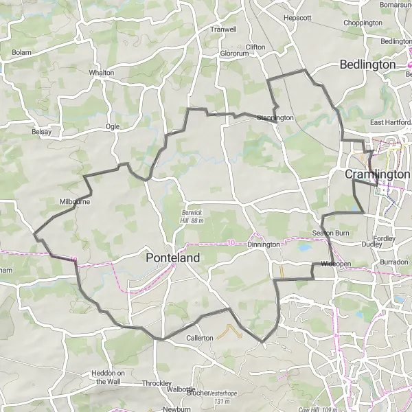
Explore the scenic countryside surrounding Cramlington, passing through Seaton Burn and Nedderton.
This moderate 58 km road cycling route takes you on a journey through the picturesque Northumberland and Tyne and Wear countryside. Starting near Cramlington, you'll have the opportunity to enjoy beautiful rural landscapes and charming villages along the way. The route includes a total ascent of 276 meters and offers a mix of flat sections and gentle climbs.
Embark on a historical road cycling adventure from Cramlington, passing through Mitford Castle and Colliers Hill.
This moderate 50 km road cycling route takes you on a journey through both ancient and natural wonders. Starting near Cramlington, the route entails a total ascent of 262 meters. You'll have the opportunity to explore magnificent historical landmarks and enjoy stunning views of the surrounding countryside.
Experience the charm of Holystone on this scenic road route
Discover the hidden gem of Holystone on this picturesque road route. Covering a distance of 81km with an ascent of 466m, this route caters to well-trained amateur cyclists seeking a moderate challenge. Along the way, you'll encounter highlights such as Holystone, Segedunum Fort Viewing Tower, Hasting Hill, Grindon, Down Hill, Howdon, and Holywell. Immerse yourself in the natural beauty of Northumberland and Tyne and Wear, and soak in the peaceful atmosphere of these charming locations.
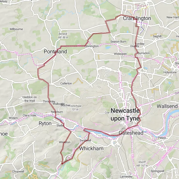
Embark on a captivating gravel adventure from Cramlington to Dudley
Discover the thrill of gravel cycling along this captivating round-trip route from Cramlington to Dudley. Covering a distance of 61km with an ascent of 462m, this gravel route is suitable for adventurous cyclists looking to explore off-road terrain. Highlights on the route include Dudley, Side and Dean street view from Tyne Bridge, Newcastle Castle, Swalwell, Darras Hall, and Northumberlandia. Enjoy the freedom to roam through scenic landscapes, picturesque villages, and historical landmarks throughout the journey.
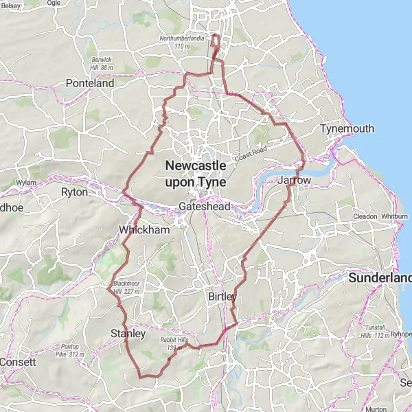
Cycle from Cramlington to Newfield along the scenic Pelton Hills
Embark on a delightful cycling adventure from Cramlington to Newfield, passing through the scenic Pelton Hills. This gravel route spans 80 kilometers and includes an ascent of 727 meters. It is suitable for well-trained amateurs seeking a mix of challenging terrain and picturesque landscapes. Along the way, you'll encounter various highlights that add to the overall charm of this journey.
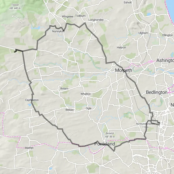
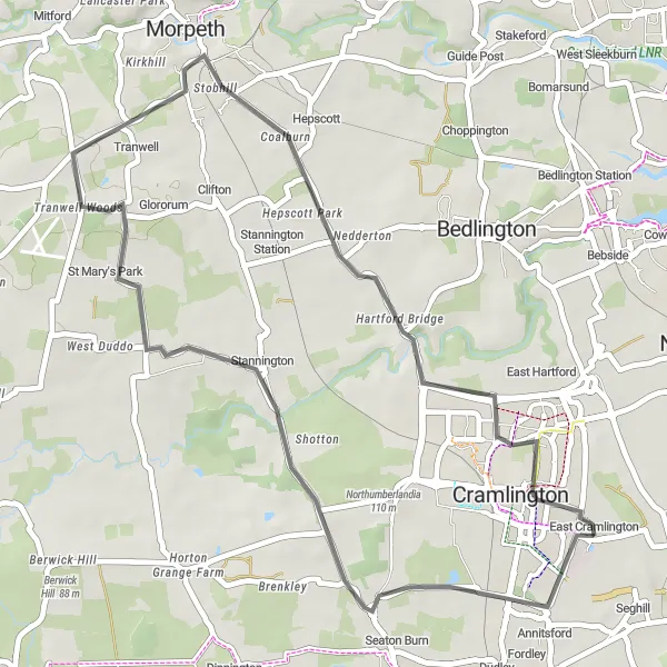
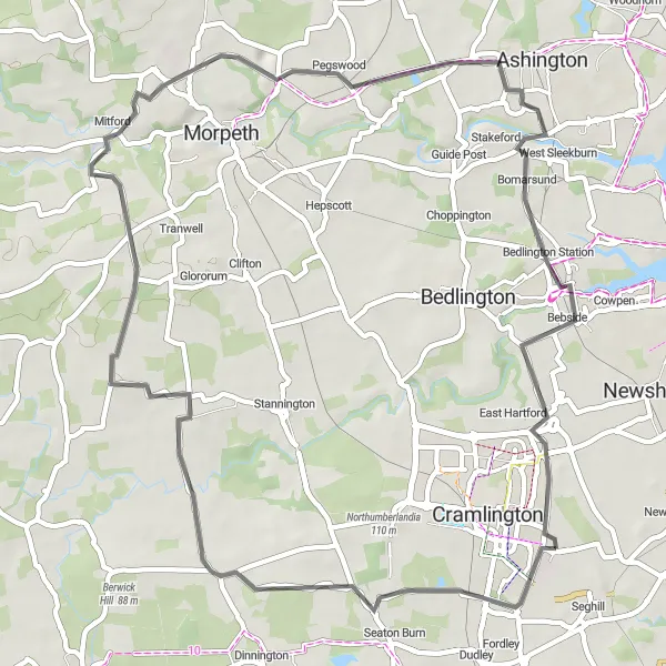
Embark on an epic adventure from Cramlington to Morpeth, passing by Northumberlandia
Embark on an epic cycling adventure from Cramlington to Morpeth, passing by the iconic Northumberlandia. With a distance of 90km and an ascent of 765m, this road route is suitable for well-trained amateur cyclists seeking a challenging ride. Highlights on the route include Northumberlandia, Dinnington, Capheaton, Nunnykirk, Morpeth, Haw Hill, Hartford Bridge, and Nelson Hill. Immerse yourself in Northumberland's natural landscapes and uncover the rich history and culture of these charming towns and landmarks.
Cycling routes nearby:
Nearby regions: