Cramlington to Jarrow via Ushaw Moor
A gravel cycling route starting from Cramlington
Cycle from Cramlington to Jarrow through scenic Ushaw Moor
Map
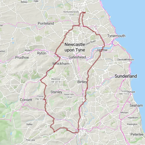
This route takes you on a picturesque cycling journey from Cramlington to Jarrow, passing through the charming town of Ushaw Moor. With a distance of 105 kilometers and an ascent of 813 meters, this ride is suitable for well-trained amateurs. It offers a mix of road and gravel terrain, making it perfect for gravel bike enthusiasts. The route provides opportunities to enjoy beautiful views and explores various highlights along the way.
gravel
105 km
813 m
Tough
Route profile
Highlights on the route
0 km
0 km
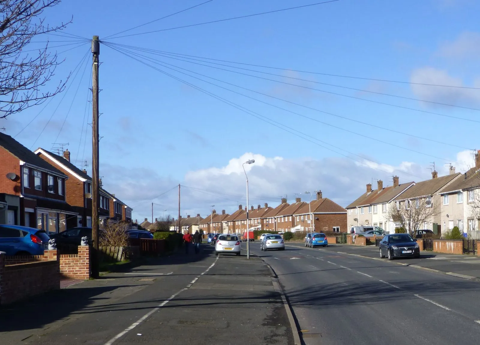
Start: East Cramlington Village centerCramlington: Cycling oasis in the midst of Northumberland
Cramlington, located in the Northumberland and Tyne and Wear region of the United Kingdom, is a cycling-friendly locality with a mix of urban and rural landscapes. The town provides cyclists with a network of well-maintained cycling paths and quiet roads, making it a pleasant place to explore on two wheels. One of the popular cycling routes nearby Cramlington is the Lance Armstrong Trail, offering a challenging yet rewarding experience for road cycling enthusiasts. Cramlington is a great starting point for cyclists looking to immerse themselves in the natural beauty of the region.17 km
17 km
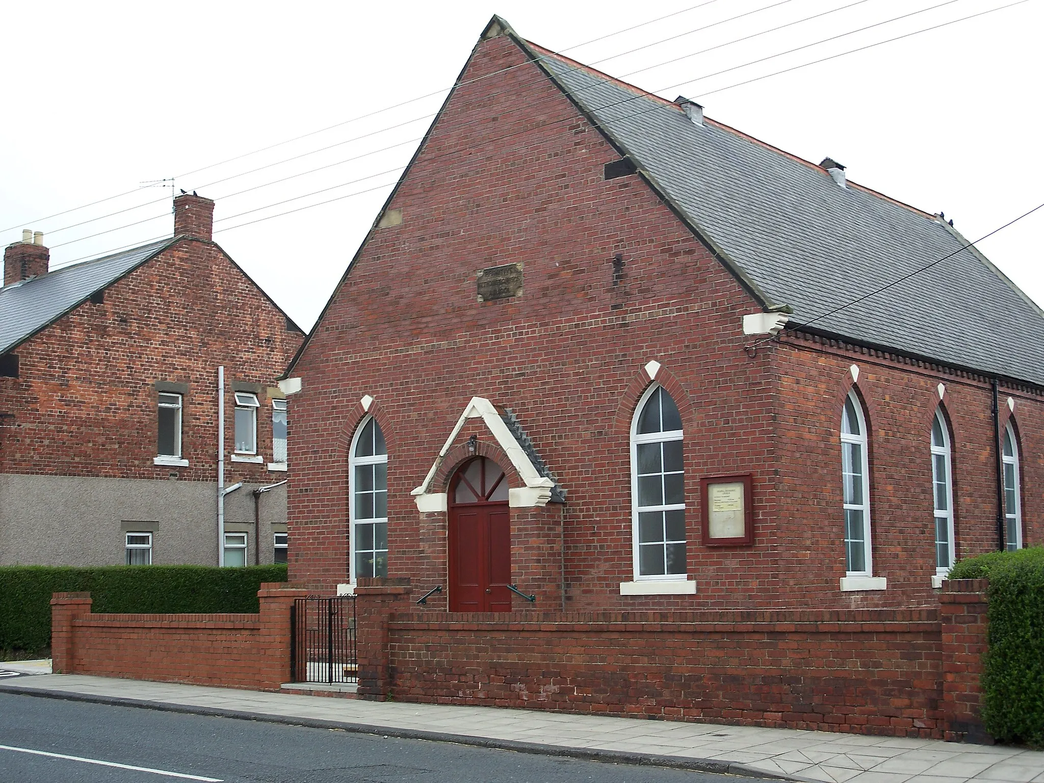
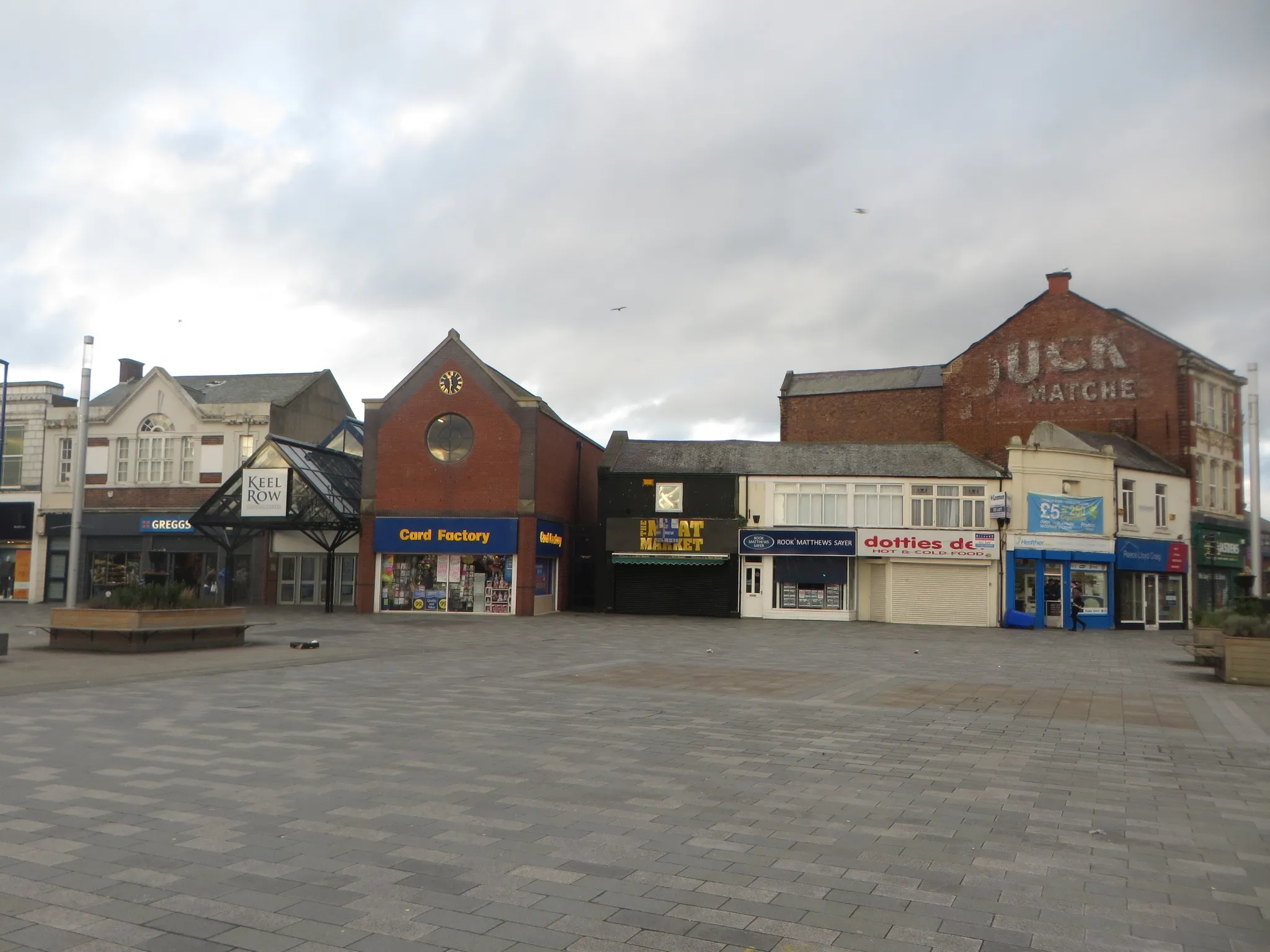
JarrowTownPass through the historic town of Jarrow, known for its rich industrial heritage.
26 km
26 km
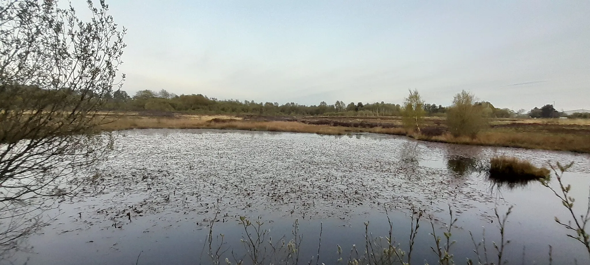
SpringwellVillageAdmire the natural beauty of Springwell Park with its peaceful green spaces and enchanting wildlife.
50 km
50 km
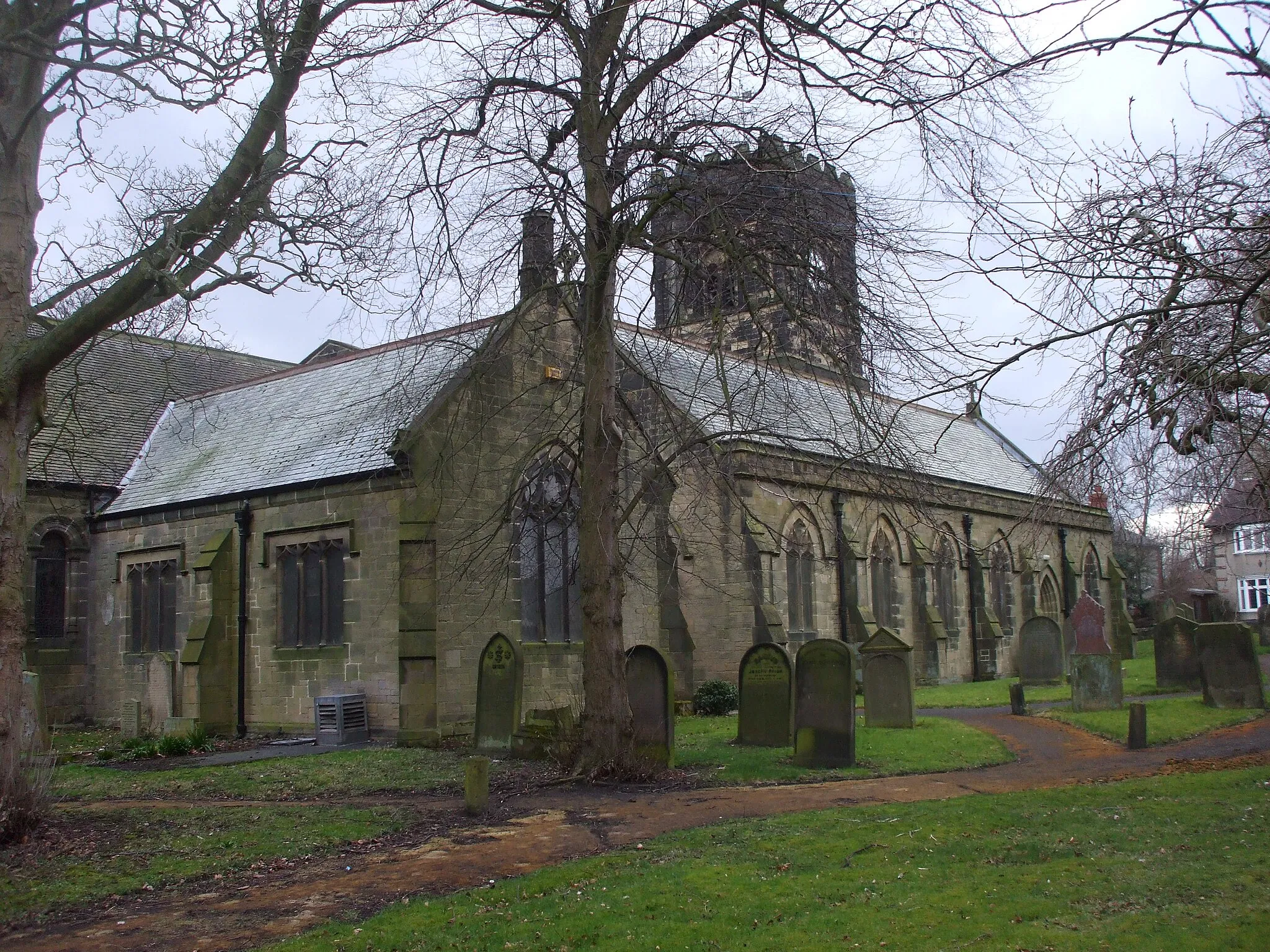
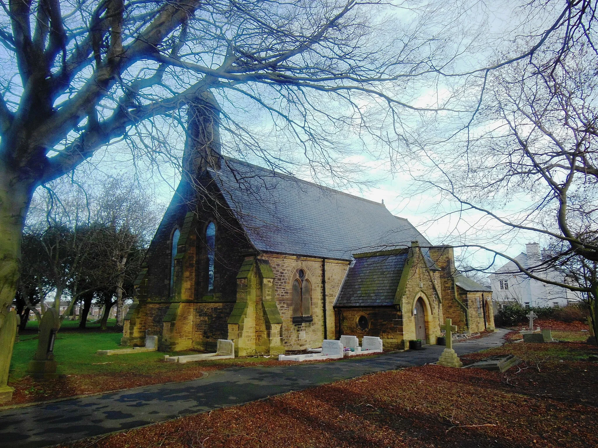
Ushaw MoorVillageExplore Ushaw Moor, a hidden gem with charming streets and preserved historical buildings.
68 km
68 km
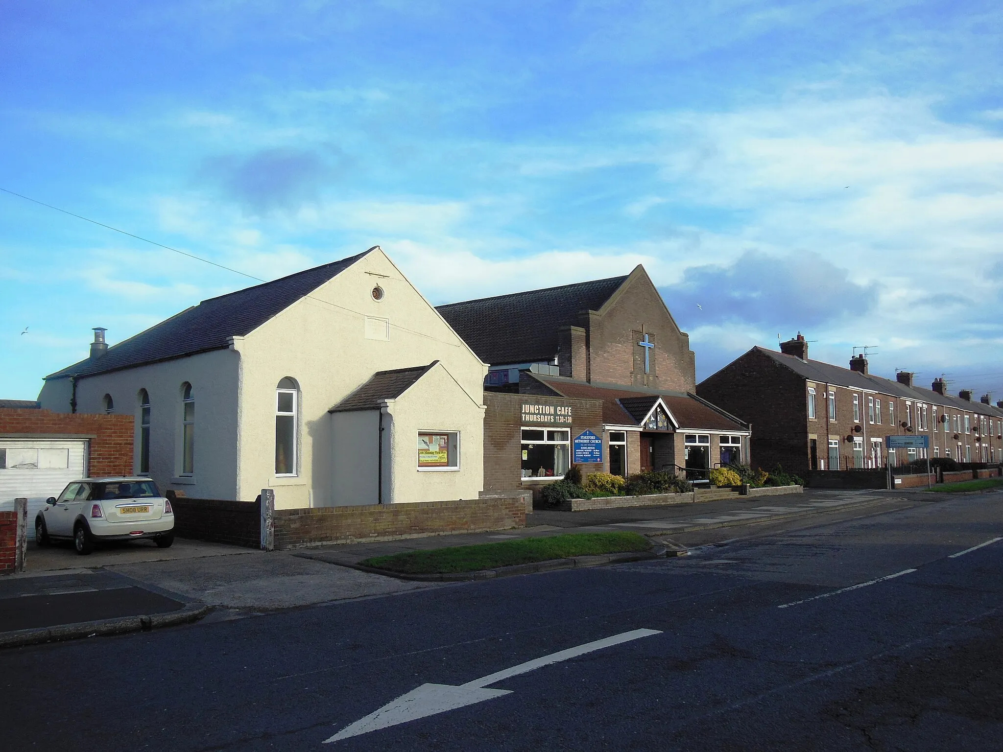
GreencroftVillageDiscover the peaceful and idyllic countryside of Greencroft.
82 km
82 km
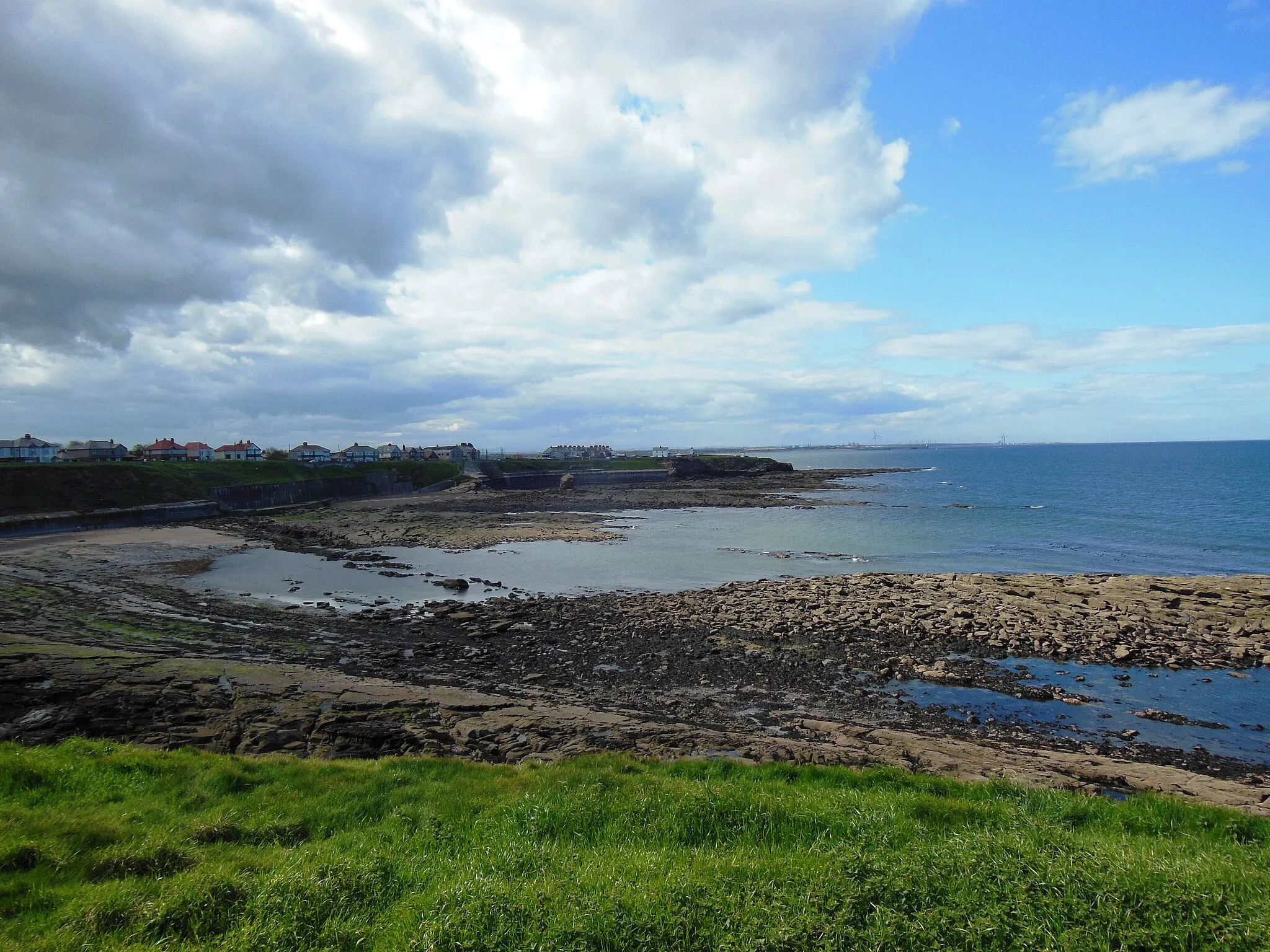
SwalwellVillageRide through Swalwell with its scenic riverside views and picturesque trails.
99 km
99 km
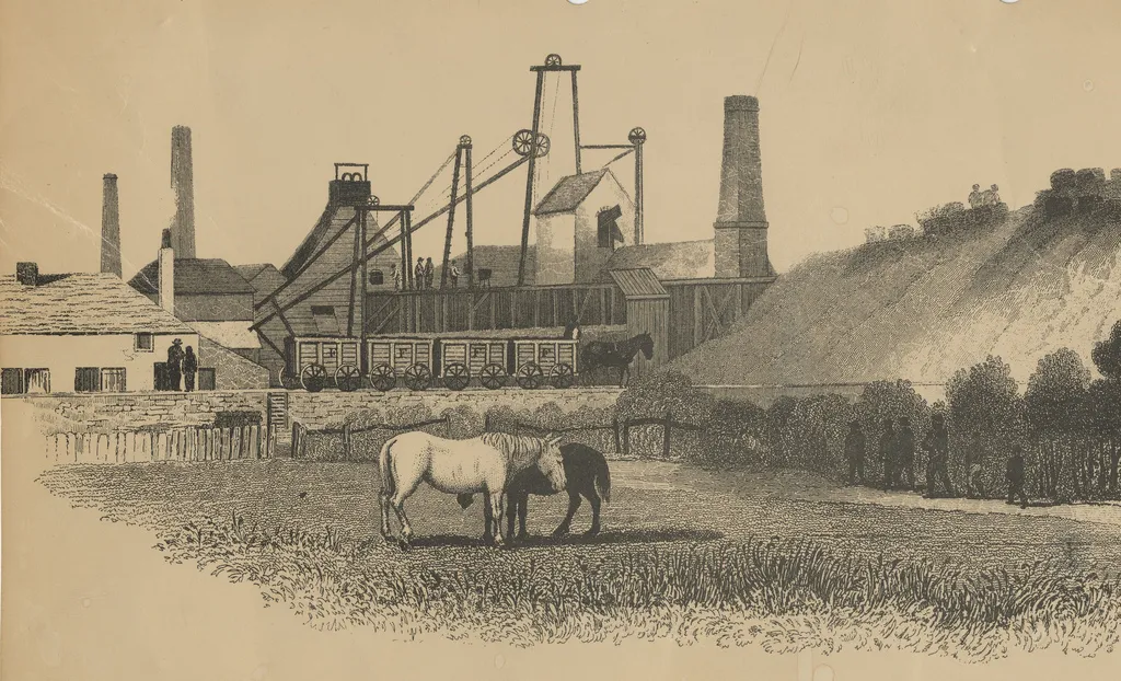
Weetslade Colliery Country ParkViewpointVisit Weetslade Colliery Country Park and learn about its fascinating history as a former coal mine.
101 km
101 km
DudleyVillageExperience the thrill of climbing Dudley, a challenging but rewarding ascent with breathtaking views.
105 km
105 km
Finish: East Cramlington Village centerCramlington: Cycling oasis in the midst of Northumberland
Cycling routes from Cramlington:
Cramlington Loop via Seaton Burn and Nedderton Gravel Adventure from Cramlington to Dudley Northumberlandia and Morpeth Adventure Mitford Castle and Colliers Hill Loop Cramlington to Jarrow via Ushaw Moor Tranwell Loop from Cramlington Panoramic Tour from Cramlington to Northumberlandia Cramlington to Newfield via Pelton Hills Cramlington and Burradon Loop Holystone Loop
Cycling routes nearby: