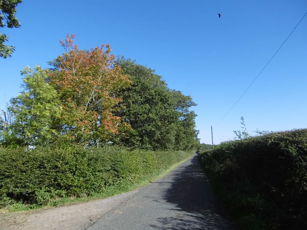
Cycling amidst scenic British countryside
Cycling routes from Wideopen
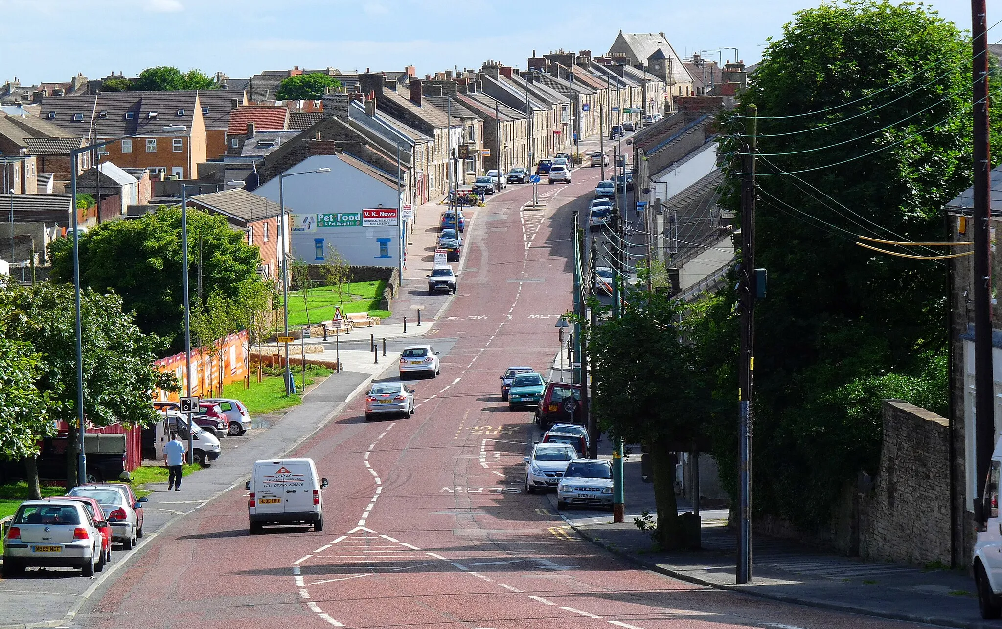
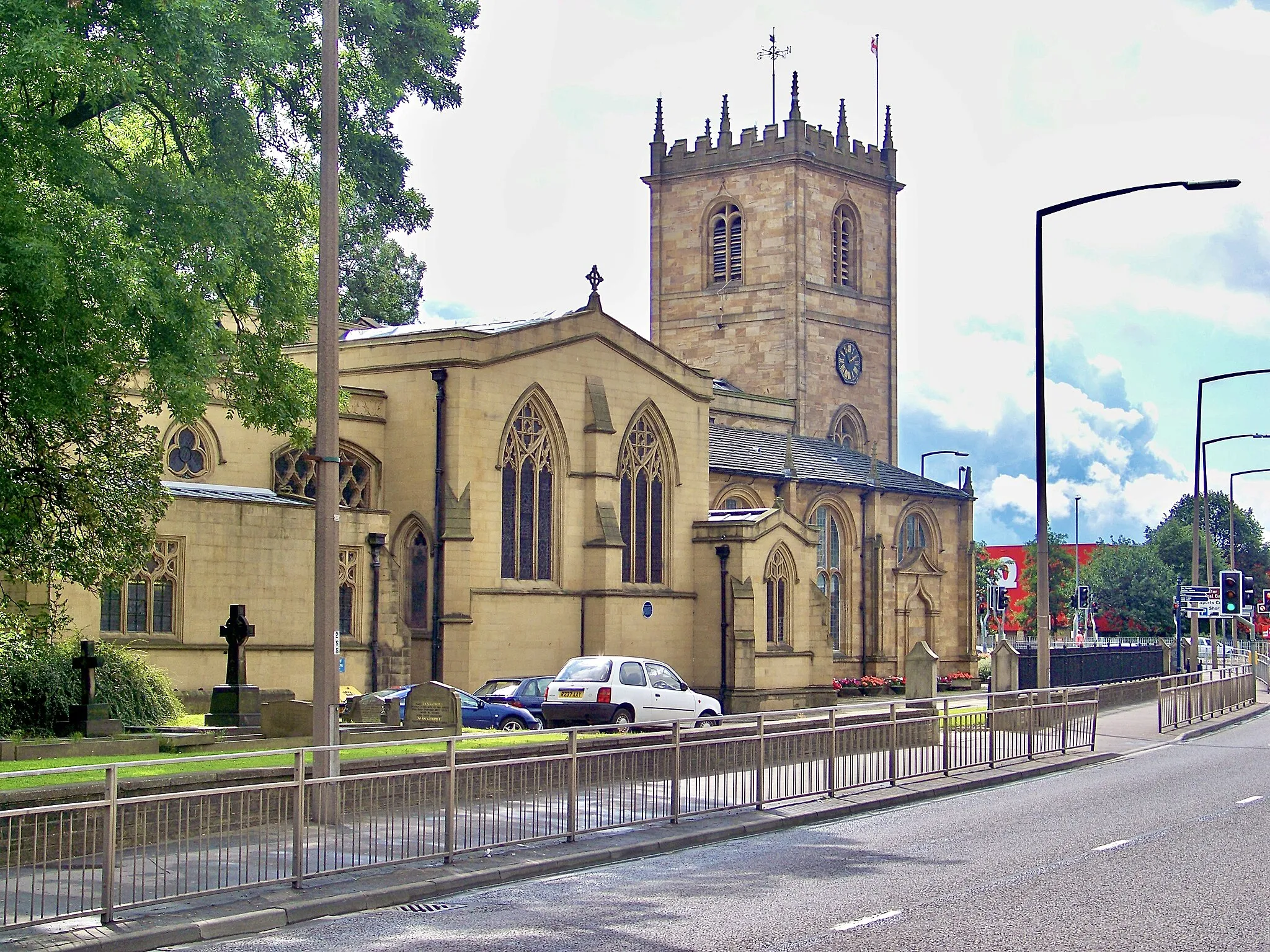
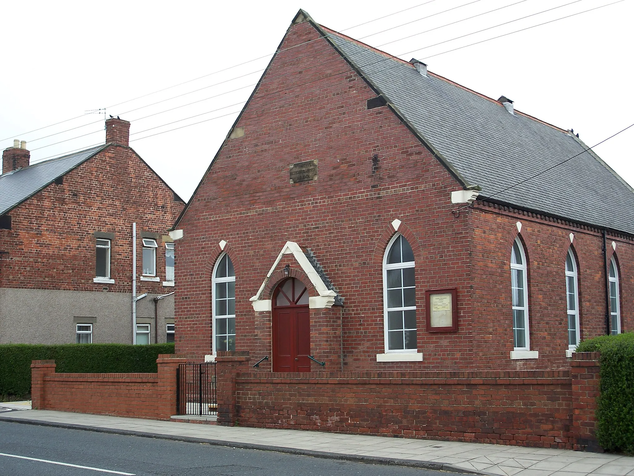
Wideopen, located in Northumberland and Tyne and Wear, United Kingdom, offers a variety of cycling opportunities for road and gravel cyclists. The area is mostly flat, making it suitable for leisurely rides and for beginners. There are several coastal paths and quiet country roads that cyclists can explore. While there may not be any famous cycling spots or climbs in the immediate vicinity, cyclists can venture out to nearby locations such as Hadrian's Cycleway or North Pennines for more challenging rides. With its scenic countryside and accessible cycling routes, Wideopen is a great destination for cycling enthusiasts.
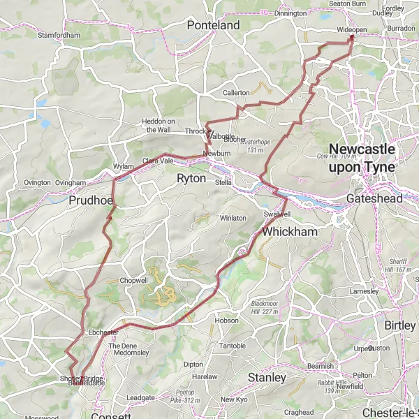
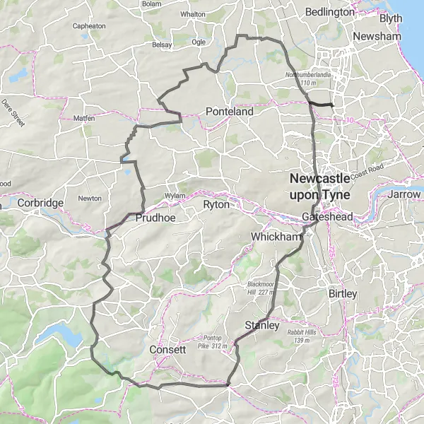
Embark on an off-road adventure from Wideopen to Wylam through scenic landscapes
This gravel biking route takes you through diverse terrains, from wooded areas to rocky paths, providing a thrilling off-road experience. With a total ascent of 651 meters and a distance of 66 kilometers, this route offers a challenging ride suited for experienced off-road cyclists. Highlights along the route include Swalwell, Shotley Bridge, Wylam, Throckley, and Brunswick Village.
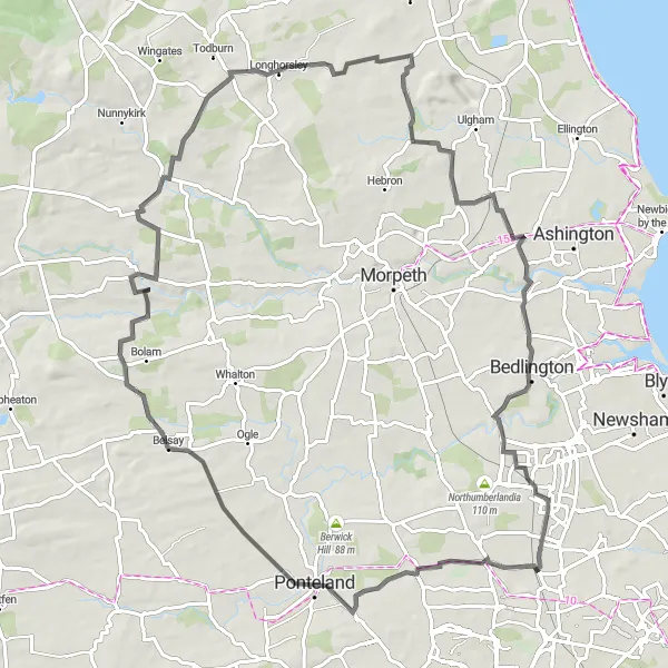
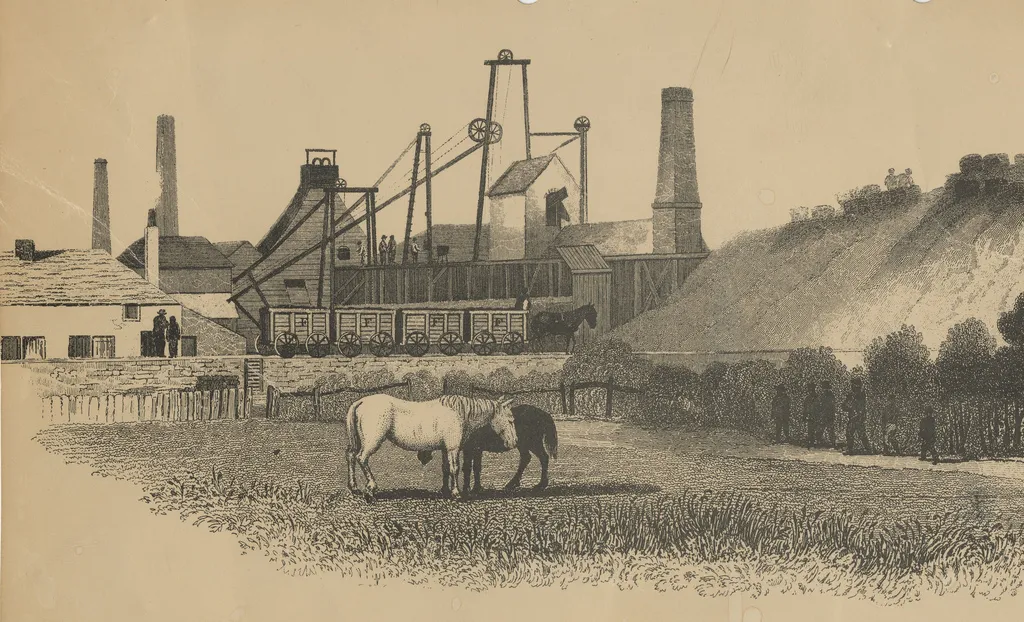
Embark on a challenging road cycling adventure from Wideopen, passing through picturesque landmarks like Weetslade Colliery Country Park, Belsay, and Causey Park. Experience a thrilling ascent to Longhirst and enjoy the scenic views along the way. Conquer the demanding Nelson Hill before returning to Wideopen.
This road cycling route from Wideopen is filled with scenic beauty and exciting challenges. With an elevation gain of 557 meters and a distance of 82 kilometers, it offers a thrilling experience for cyclists. Highlights include the Weetslade Colliery Country Park, a former industrial site converted into a beautiful natural expanse, and the atmospheric village of Belsay. The route also takes you through the charming countryside of Hartburn and the historic Causey Park. The ascent to Longhirst provides stunning panoramic views, while the challenging Nelson Hill tests the skills of even the most experienced riders.
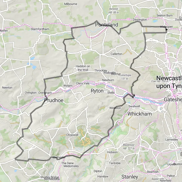
Discover the rural landscapes and historical landmarks on this road cycling route
This road cycling route takes you through the picturesque countryside of Northumberland, offering a mix of natural beauty and historical landmarks. With a total ascent of 808 meters and a distance of 76 kilometers, this route provides a challenge for intermediate-level cyclists. Highlights along the route include Winlaton, High Westwood, Ovingham, and Dinnington.
Experience the blend of history and natural beauty on this road cycling route
This round-trip route takes you through some beautiful landscapes, passing by the historical sites of Wideopen and Segedunum Fort. With a total ascent of 202 meters and a distance of 45 kilometers, this road cycling route offers a moderate challenge for well-trained amateurs. Highlights along the route include Weetslade Colliery Country Park, Old Hartley, Tynemouth, and the Segedunum Fort Viewing Tower.
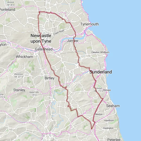
Embark on a gravel cycling expedition from Wideopen, passing through the nature reserve of Weetslade Colliery Country Park and the atmospheric ruins of Hylton Castle. Challenge yourself with the descent on Down Hill and conquer the demanding ascent of Sheriff Hill before reaching the vibrant neighborhood of Gosforth.
This gravel cycling route starting from Wideopen offers a unique and adventurous experience. With a total ascent of 541 meters and a distance of 84 kilometers, it's perfect for those seeking a mix of natural beauty and exhilarating challenges. Highlights along the way include Weetslade Colliery Country Park, a nature reserve offering great opportunities for wildlife spotting and peaceful walks. Explore the atmospheric ruins of Hylton Castle, an impressive medieval structure shrouded in history. Enjoy the thrill of descending Down Hill and conquer the demanding climbs of Newport Hill and Sheriff Hill. Conclude your expedition in the vibrant neighborhood of Gosforth, known for its bustling atmosphere and thriving cycling community.
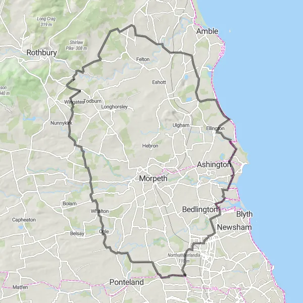
Embark on an adventurous journey from Wideopen to the coastal beauty of Cresswell
This road cycling route takes you through scenic landscapes, charming villages, and concludes at the picturesque coastline of Cresswell. With a total ascent of 762 meters and a distance of 104 kilometers, this route is suitable for experienced riders seeking a challenge. Highlights along the route include Ogle, Netherwitton, Longframlington, Acklington, Cresswell, Bebside, and Nelson Hill.

Embark on a road cycling expedition from Wideopen, passing through Dinnington, Eachwick, Capheaton, Longwitton, and Molesden. Test your skills on challenging climbs and soak in the scenic views along the way.
This road cycling route starting from Wideopen offers a diverse journey with varied terrains and stunning landscapes. With an elevation gain of 622 meters and a distance of 85 kilometers, it provides an exciting challenge for cyclists. Highlights include Dinnington, a charming village with traditional inns and cozy atmosphere, and Eachwick, a picturesque hamlet surrounded by rolling countryside. Capheaton's enchanting castle and gardens are another notable attraction along the route. Enjoy the scenic beauty of Longwitton and the idyllic charm of Molesden before completing your cycling expedition.
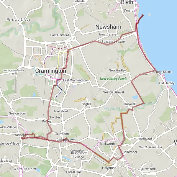
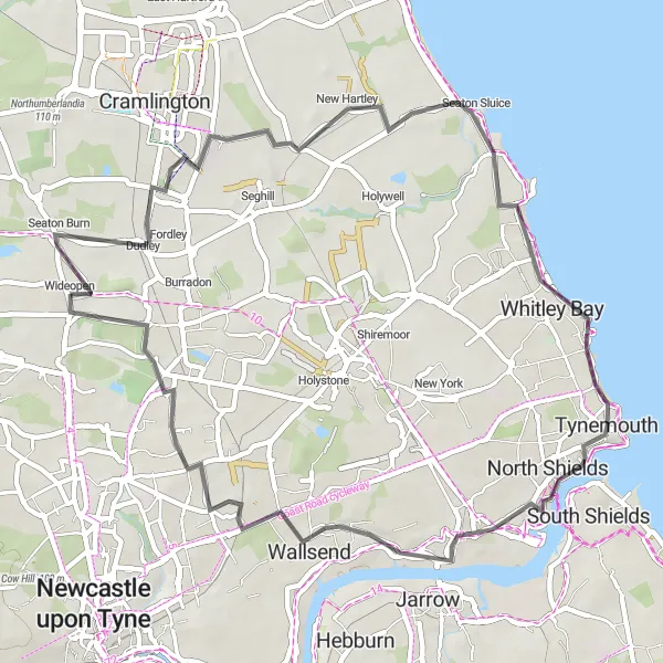
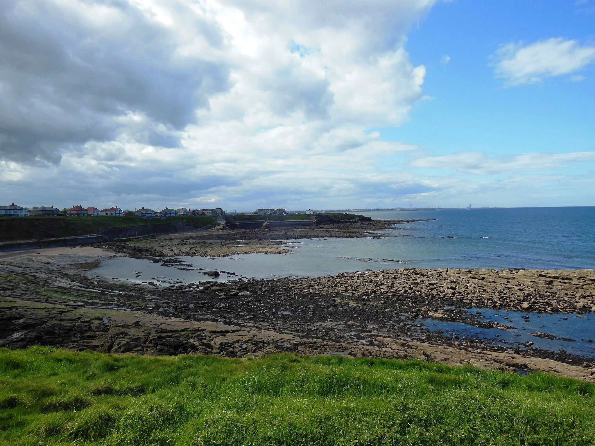
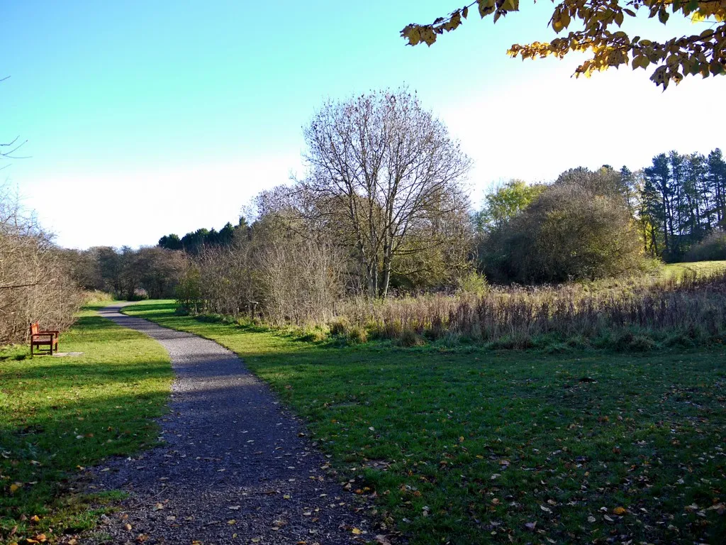
Explore the coastal wonders on this scenic gravel cycling route
This gravel cycling route takes you along the Northumberland coastline, offering stunning sea views and picturesque seaside villages. With a total ascent of 118 meters and a distance of 38 kilometers, this route is suitable for cyclists of all levels. Highlights along the route include Weetslade Colliery Country Park and Seaton Sluice, a charming coastal village.
Embark on an epic road cycling adventure from Wideopen, passing through famous landmarks like Haymarket, Causey Arch view, and Ornsby Hill. Marvel at the scenic beauty of Healeyfield and Ovingham before reaching the picturesque village of Stamfordham. Conclude your journey at the stunning Weetslade Colliery Country Park.
This extraordinary road cycling route starting from Wideopen is not for the faint-hearted. With an elevation gain of 1155 meters and a challenging distance of 112 kilometers, it promises an epic adventure for skilled cyclists. Highlights include Haymarket, a central hub complete with shops, cafes, and a bustling atmosphere. The Causey Arch view offers breathtaking vistas, and Ornsby Hill takes riders on a thrilling ascent. Discover the idyllic beauty of Healeyfield and Ovingham, where stunning landscapes captivate the senses. Rejuvenate in the charming village of Stamfordham before reaching the pinnacle moment at Weetslade Colliery Country Park, a nature reserve offering serene trails and a chance to reconnect with nature.

Cycle through the scenic countryside from Wideopen to Shilvington, passing by Brunswick Village, Heugh, and Capheaton. Enjoy the peaceful atmosphere of Hartburn before reaching the charming village of Shilvington.
This road cycling route from Wideopen to Shilvington is perfect for those seeking a picturesque journey filled with natural beauty. With an ascent of 546 meters and a distance of 73 kilometers, it offers a pleasing challenge for cyclists. Highlights along the way include Brunswick Village, a quaint settlement steeped in history, and Heugh, a village with stunning views of the surrounding landscape. Capheaton, with its enchanting castle and gardens, is another noteworthy stop. Take some time to relax in Hartburn before continuing your cycling adventure to the tranquil village of Shilvington.
Cycling routes nearby:

Nearby regions: