Challenging Hills and Castles
A road cycling route starting from Jarrow
Take on challenging climbs and explore historical castles on this road cycling route
Map

This road cycling route offers a mix of challenging climbs, historical landmarks, and stunning views. With an ascent of 862 meters and a distance of 85 kilometers, it requires physical endurance and moderate cycling skills. Along the way, you'll pass through charming towns and villages, visit imposing castles, and enjoy panoramic vistas of the surrounding countryside. With an overall epicness score of 4 out of 5, this route is perfect for cyclists seeking a mix of challenge and cultural exploration.
road
85 km
862 m
Tough
Route profile
Highlights on the route
0 km
0 km
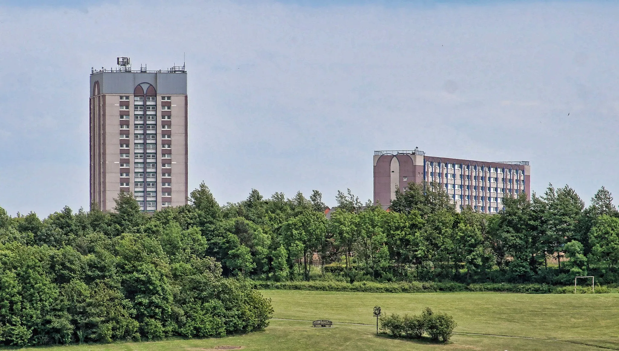
Start: Jarrow City centerJarrow: Diverse cycling routes in scenic Jarrow
Jarrow, located in Northumberland and Tyne and Wear, United Kingdom, offers a variety of cycling routes suited for road and gravel cyclists alike. Cyclists can explore both urban and countryside areas, enjoying the mix of picturesque landscapes and historic sites. Jarrow is known for its cycling-friendly infrastructure, with dedicated cycling lanes and paths throughout the town. The nearby Jarrow Slake offers beautiful views and a peaceful cycling experience. Road cyclists looking for a challenge can also tackle the ascent of Primrose Bank, a well-known climb in the area. With its mix of urban and rural cycling opportunities, Jarrow is an excellent choice for cyclists of all levels.8 km
8 km
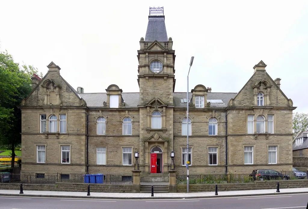
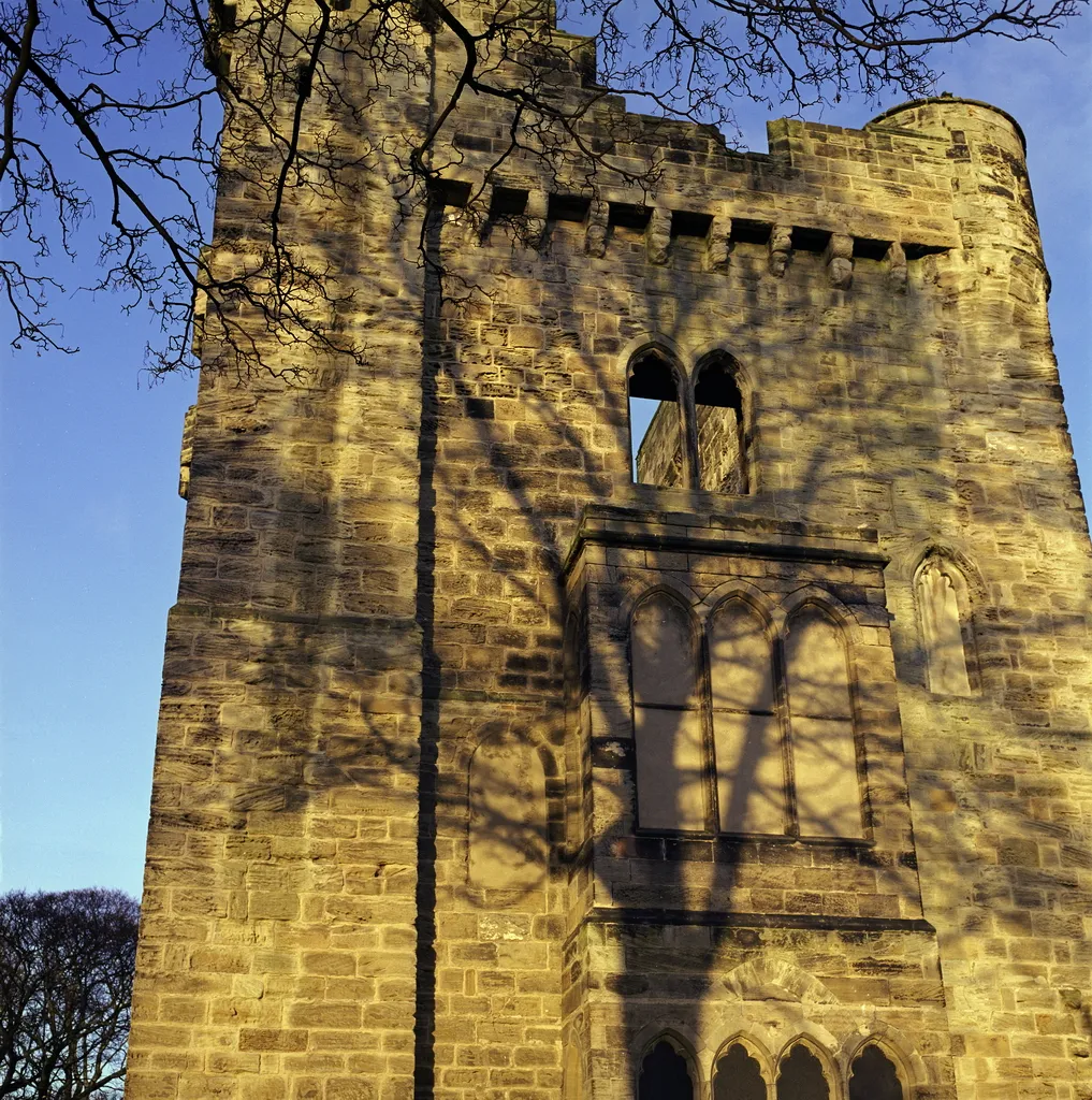
Hylton CastleCastleHylton Castle, a medieval fortress surrounded by beautiful parkland, provides a glimpse into Northumberland's rich history.
14 km
14 km
Tunstall Hills112 mPeakTunstall Hills is a local nature reserve offering peaceful walking trails and panoramic views of the surrounding landscape.
31 km
31 km
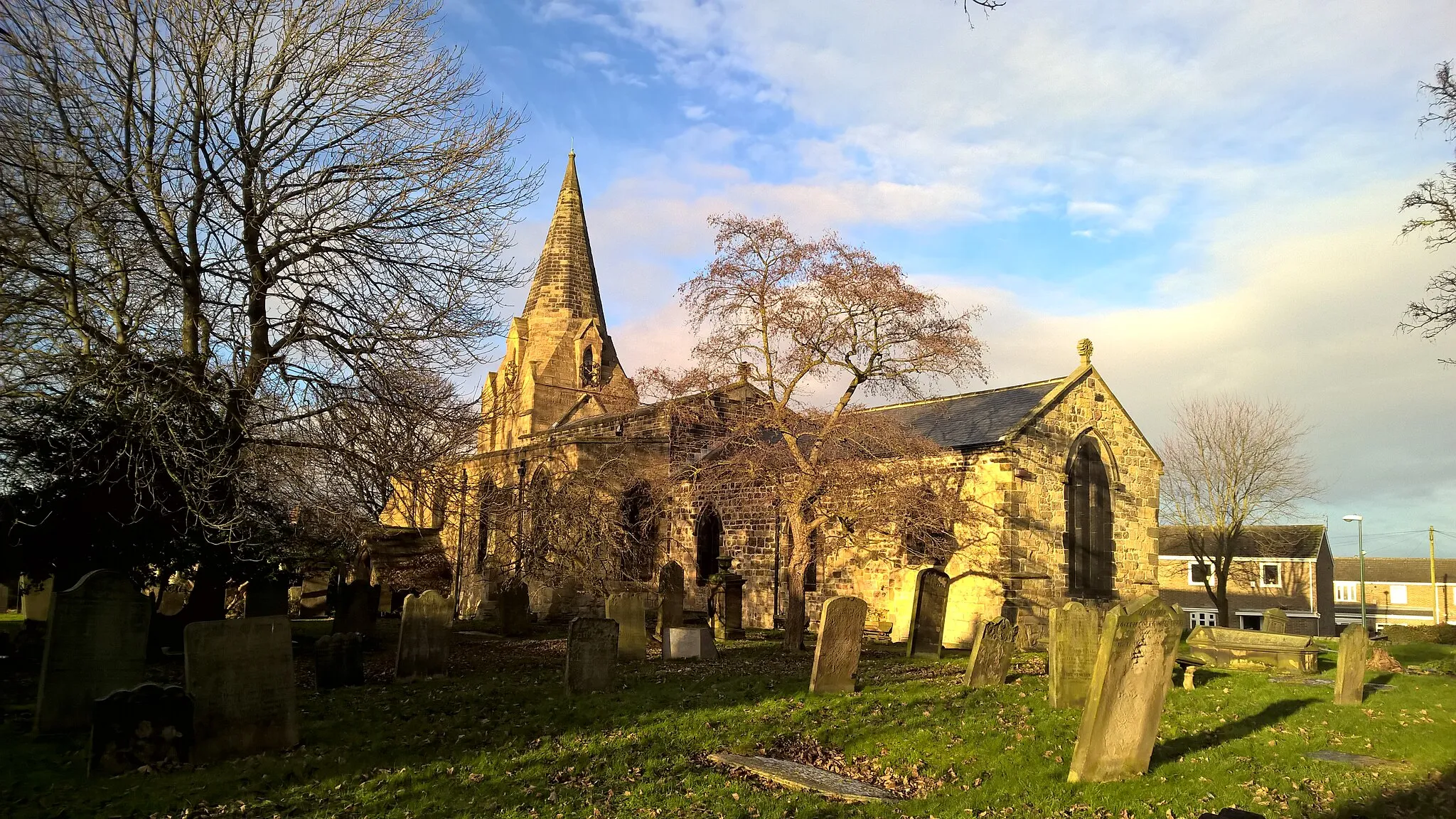
HaswellVillageHaswell is a former mining village with a distinct community spirit, evident in its historic buildings and welcoming atmosphere.
50 km
50 km
Observatory Hill101 mPeak ViewpointObservatory Hill offers a scenic panorama of the local area, including the Durham countryside and landmarks in the distance.
50 km
50 km
Durham CastleCastleDurham Castle, part of Durham University, is a magnificent medieval fortress with impressive architecture and scenic surroundings.
59 km
59 km
EdmondsleyVillageEdmondsley is a historic village with charming stone cottages and a tranquil atmosphere, inviting visitors to take a break and absorb the local charm.
63 km
63 km
Rabbit Hills139 mPeakRabbit Hills provide thrilling descents and challenging climbs amidst breathtaking natural landscapes.
77 km
77 km
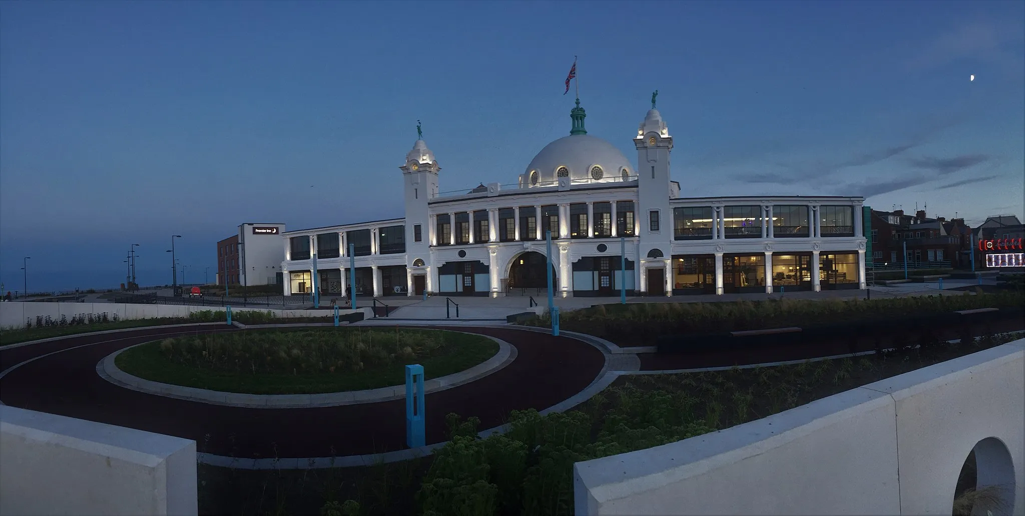
GatesheadTownGateshead boasts modern architectural marvels, such as the Gateshead Millennium Bridge, contrasting with traditional English towns.
86 km
86 km
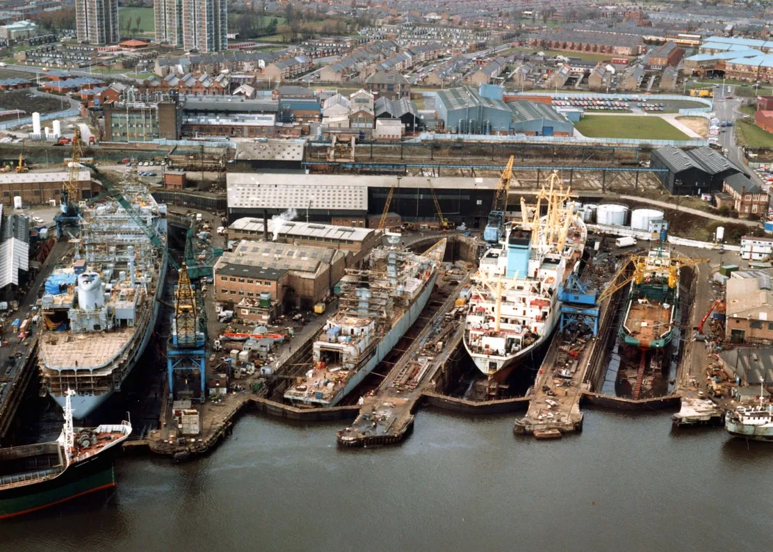
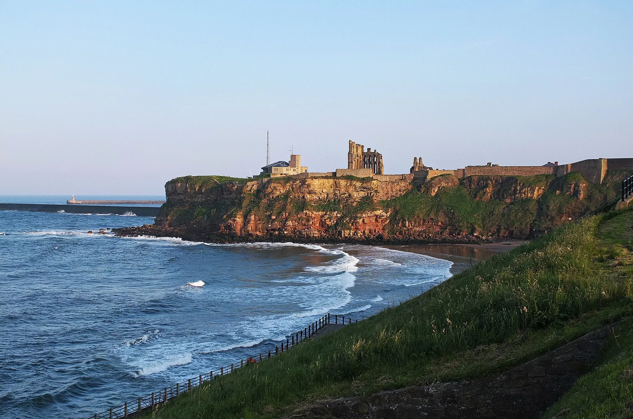
JarrowTownJarrow, the starting point of this route, has a rich industrial heritage and a resilient local community that tells its own story through its landmarks and people.
85 km
85 km
Finish: Jarrow City centerJarrow: Diverse cycling routes in scenic Jarrow
Cycling routes from Jarrow:
Jarrow to Peterlee Road Loop Gravel Adventure Jarrow Gravel Adventure Rural Charm Jarrow and Sunderland Gravel Route Jarrow and County Durham Gravel Loop Coastal Delights Woods and Hills Gravel Ride Challenging Hills and Castles Jarrow to Durham Castle Road Loop Tyne Bridge Circuit: Urban Exploration Gravel Adventure through Northumberland and Tyne and Wear Jarrow Loop: Castles and Hills
Cycling routes nearby: