Whitburn Circular
A road cycling route starting from Whitburn
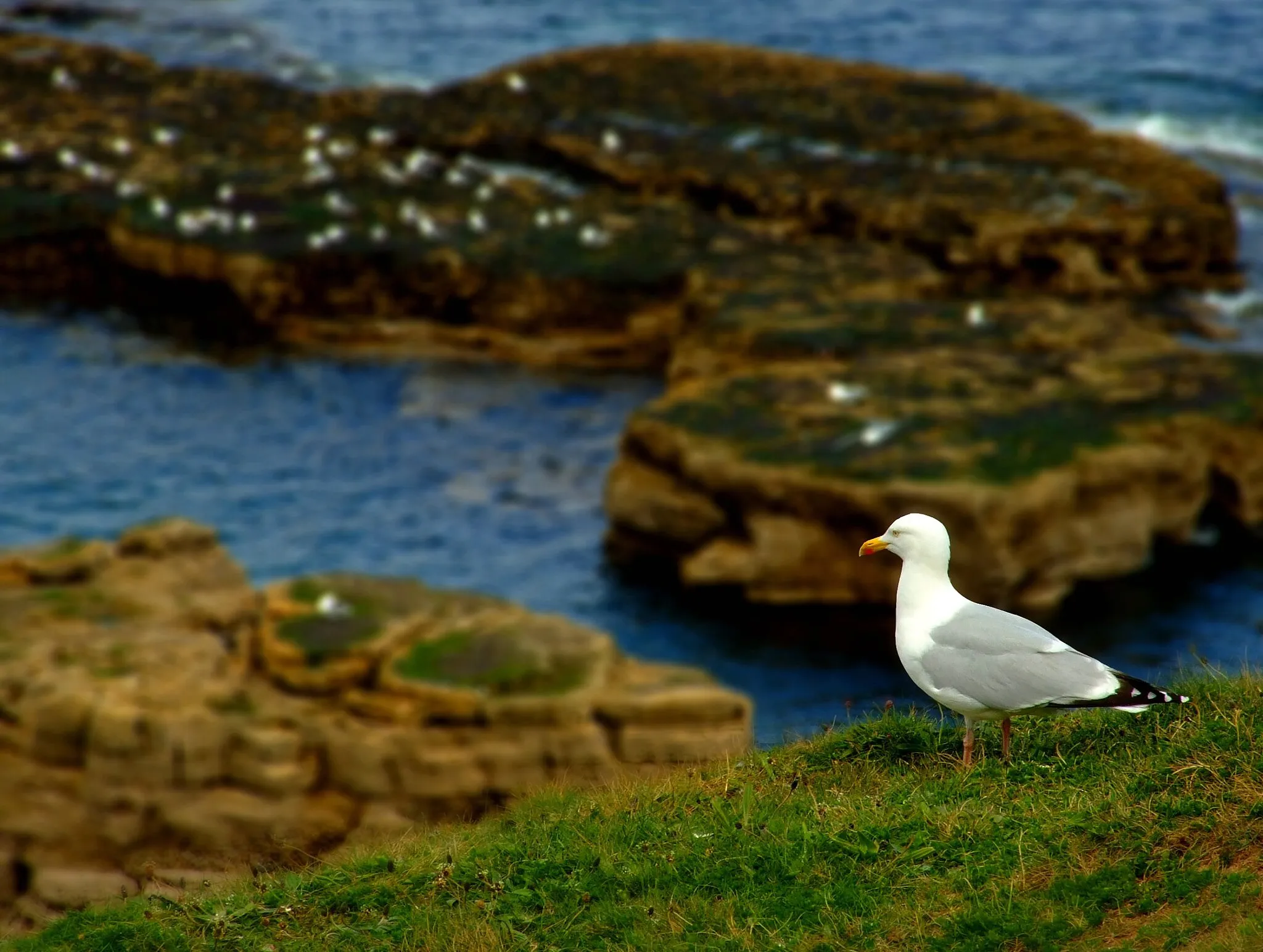
Discover the beautiful coastal scenery near Whitburn
Map
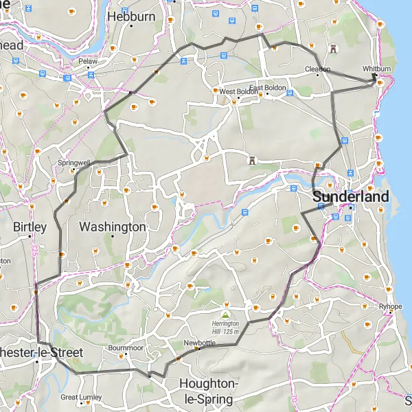
Embark on a scenic cycling adventure along the stunning coast near Whitburn. With a total distance of 51 kilometers and an ascent of 318 meters, this road route offers a mix of flat and hilly sections suitable for well-trained amateur cyclists. Experience the thrill of cycling through iconic spots like Humbledon Hill and Springwell, and enjoy the picturesque views of Newbottle and Fulwell. The route is road bike-friendly and showcases the natural beauty of Northumberland and Tyne and Wear.
road
51 km
318 m
Tough
Route profile
Highlights on the route
0 km
0 km
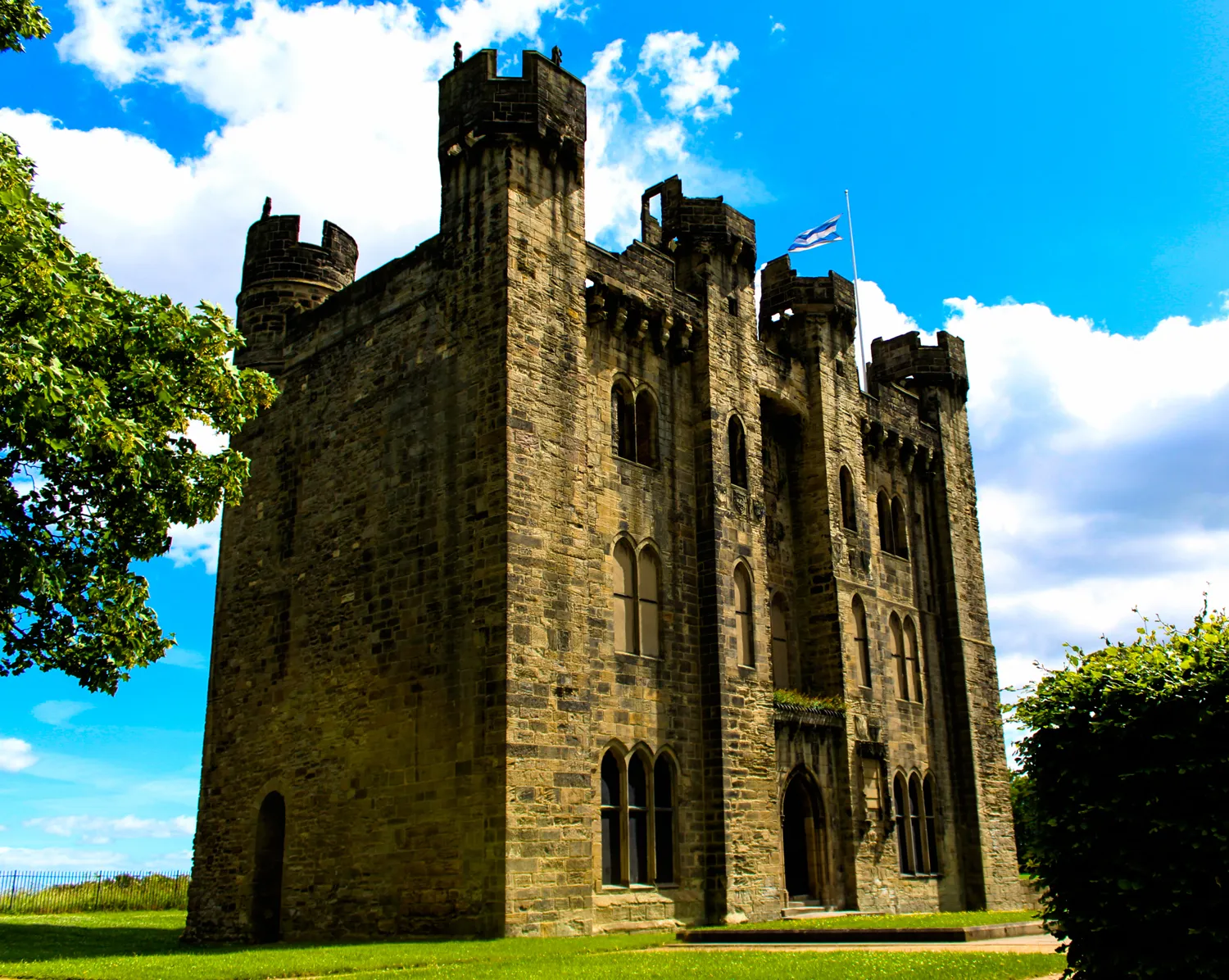
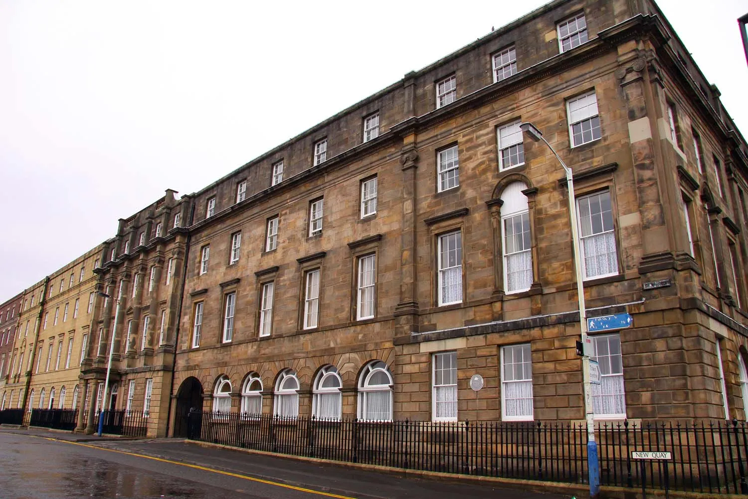
Start: Whitburn Village centerWhitburn: Coastal and hilly rides with notable climbs.
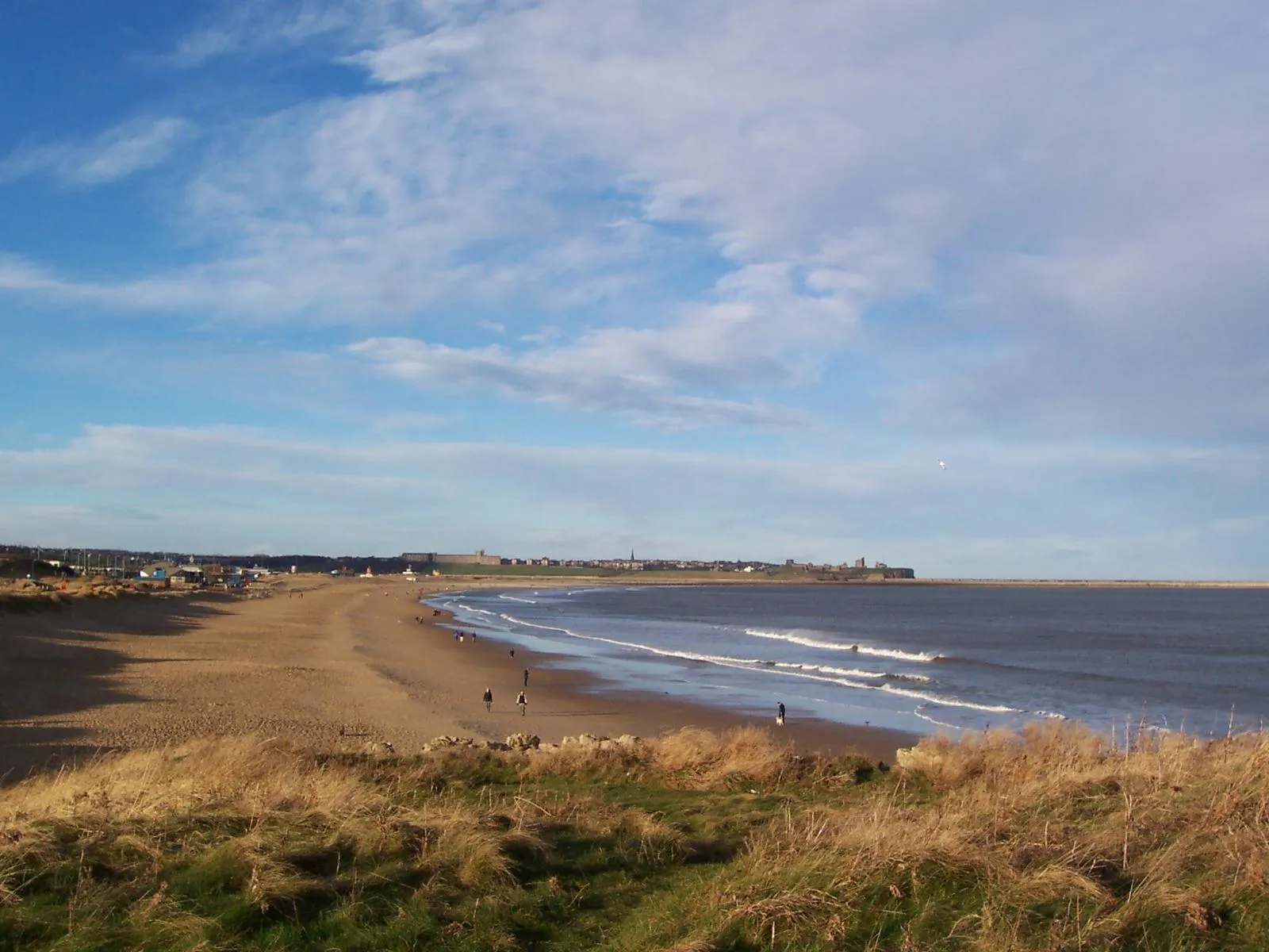
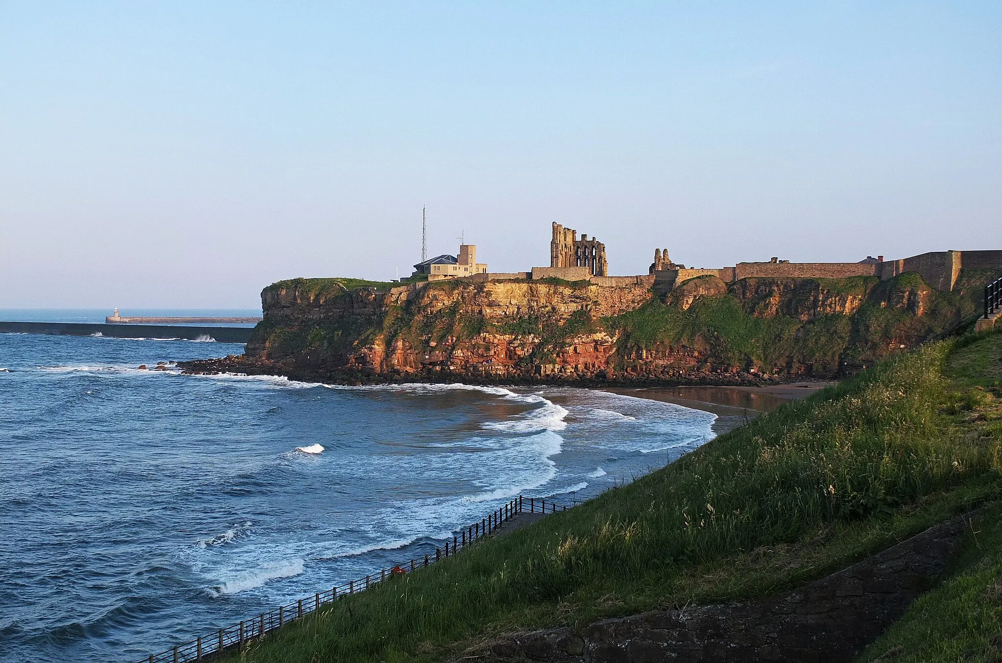
Whitburn is a locality in Northumberland and Tyne and Wear, United Kingdom. When it comes to cycling, Whitburn offers a mixture of flat coastal routes and hilly inland roads. The area is popular among road cyclists due to the challenging climbs nearby, such as Craghead and East Boldon Hill. With its diverse terrain and picturesque coastal scenery, Whitburn is a great destination for cyclists of all skill levels.3 km
3 km
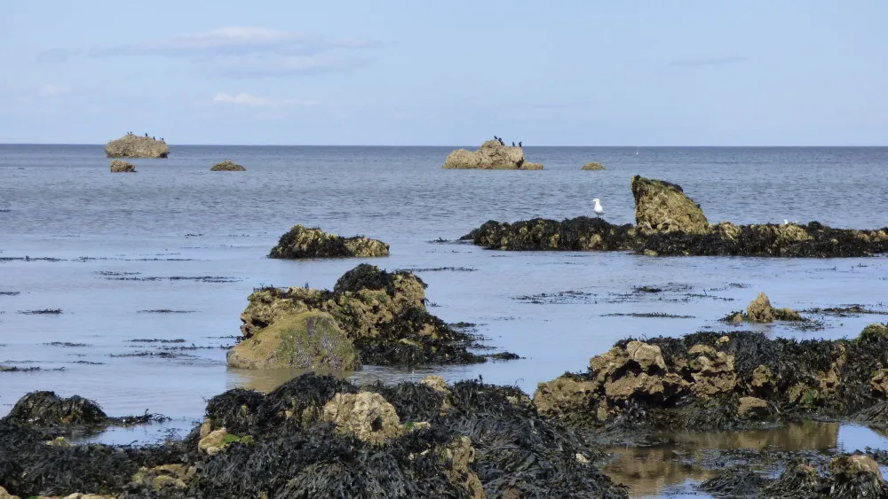
Namey Hill44 mPeakClimb Namey Hill and enjoy breathtaking coastal views.
4 km
4 km
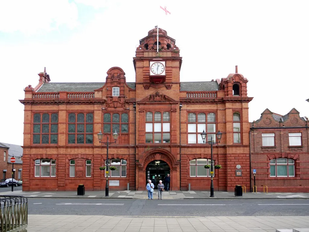
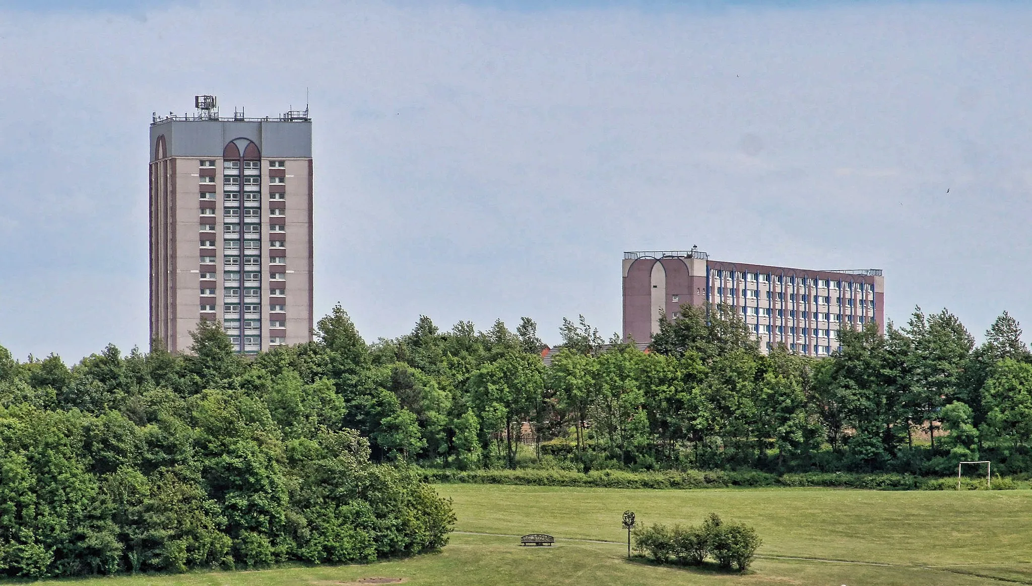
FulwellSub-urbDiscover the charming village of Fulwell and its historic landmarks.
11 km
11 km
Humbledon Hill96 mPeakConquer the challenging ascent of Humbledon Hill and admire the panoramic vistas.
17 km
17 km
NewbottleVillagePass through the scenic village of Newbottle and soak in the peaceful atmosphere.
33 km
33 km
SpringwellVillageAdmire the scenic beauty of Springwell, surrounded by stunning countryside.
51 km
51 km
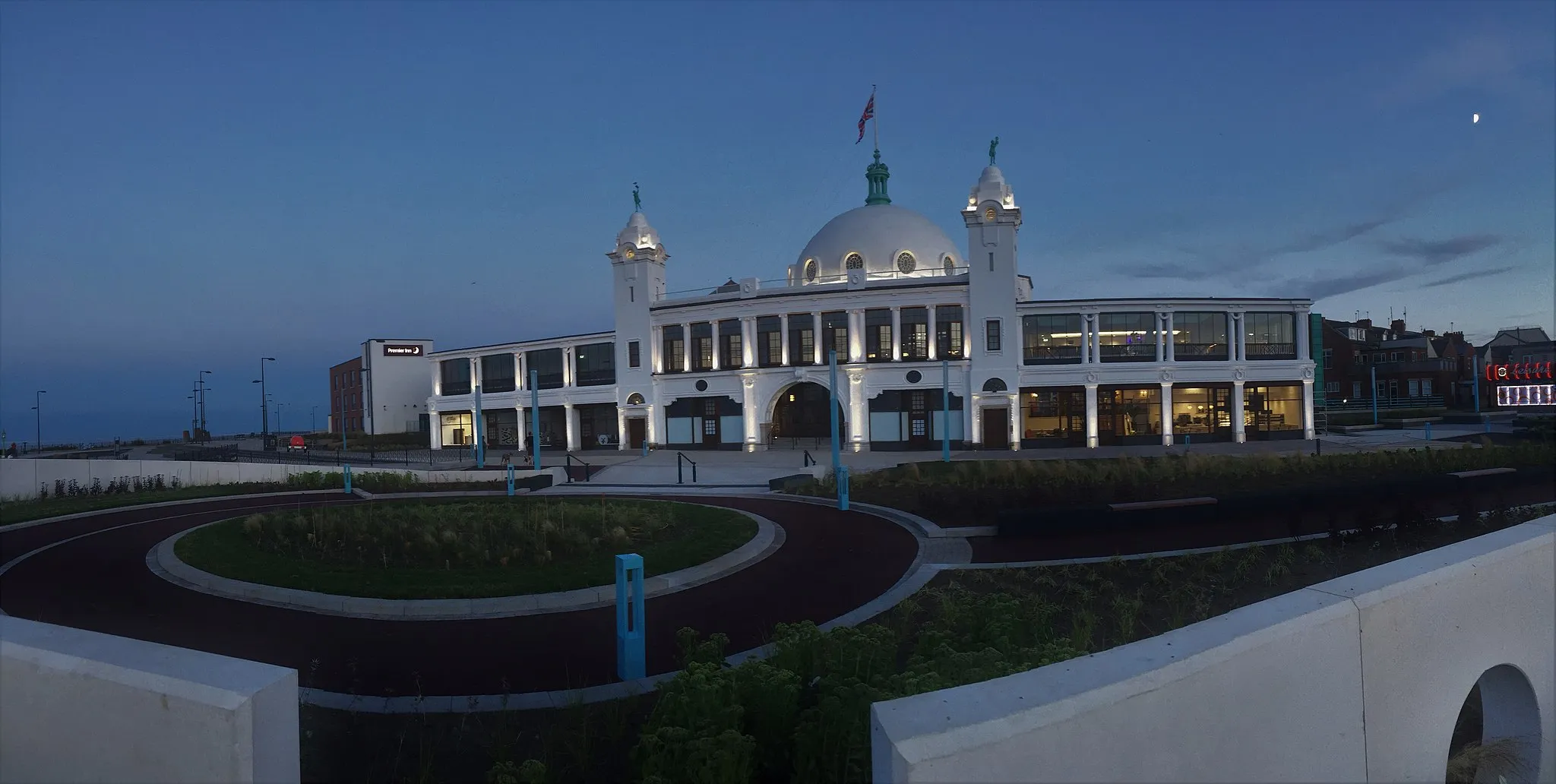
WhitburnVillageExperience the lively atmosphere of Whitburn and its vibrant attractions.
51 km
51 km
Finish: Whitburn Village centerWhitburn: Coastal and hilly rides with notable climbs.
Cycling routes from Whitburn:
Cycling routes nearby: