Urban cycling with easy access to natural beauty in Snaresbrook.
Cycling routes from Snaresbrook
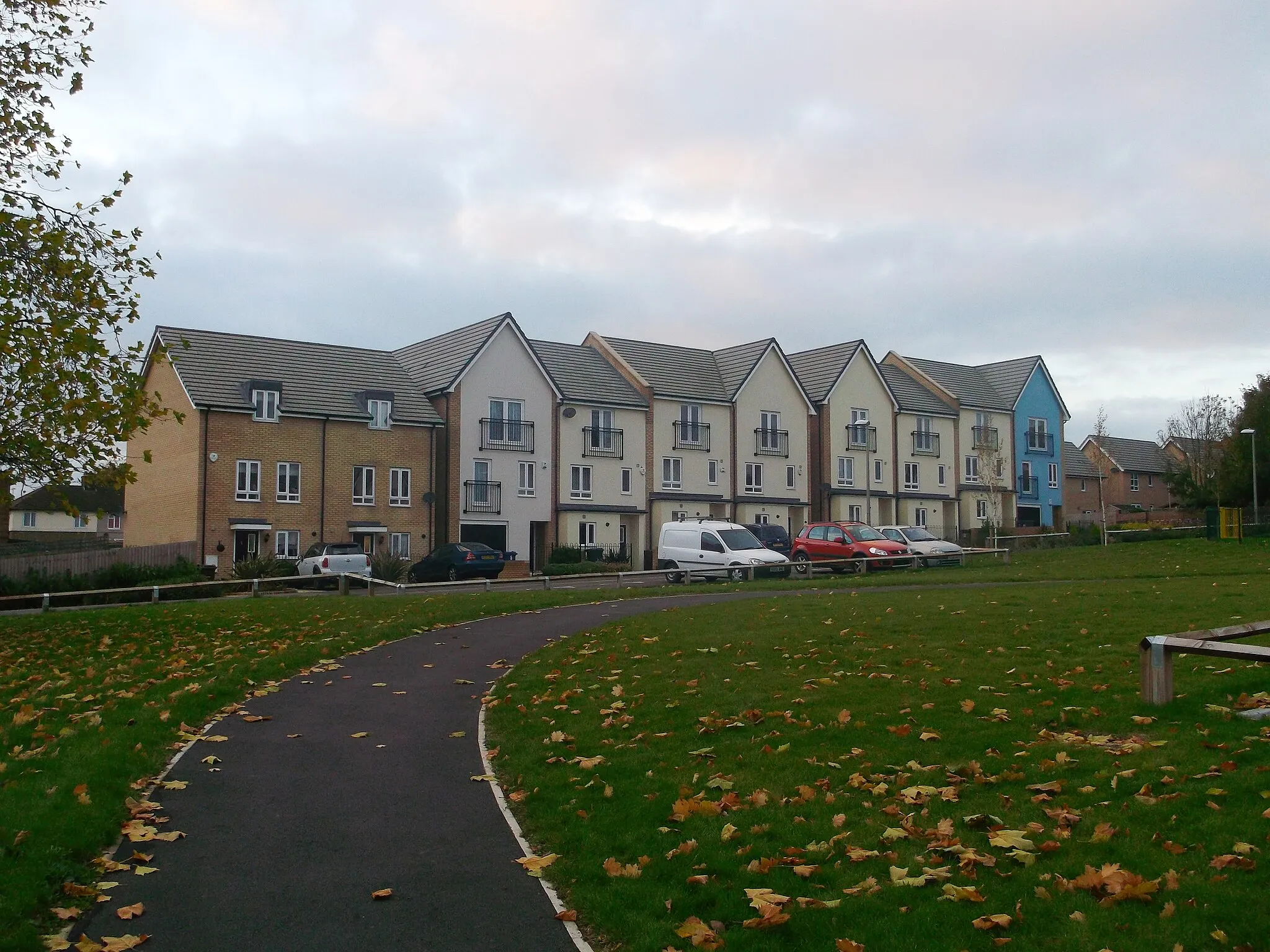
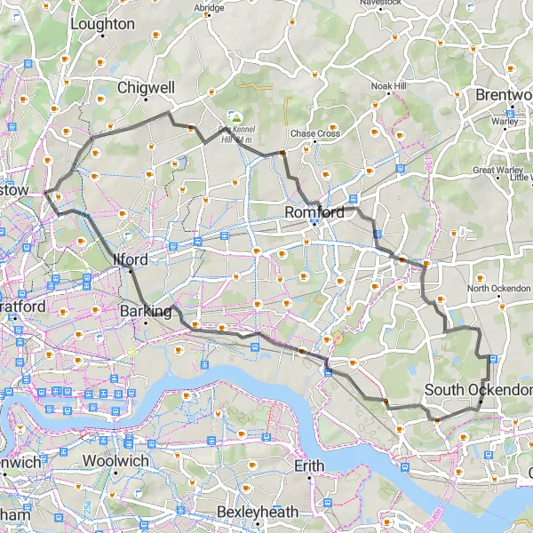
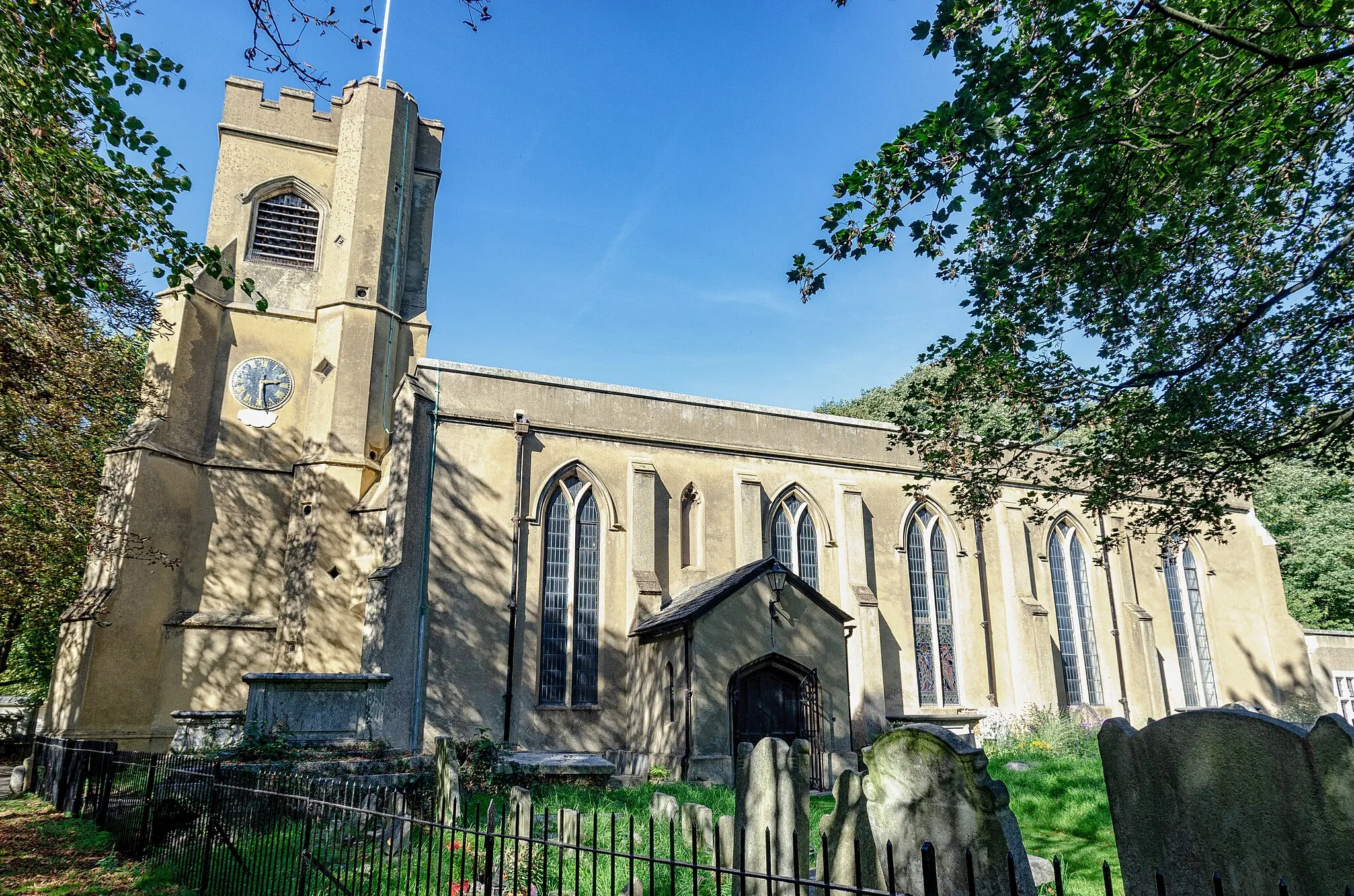
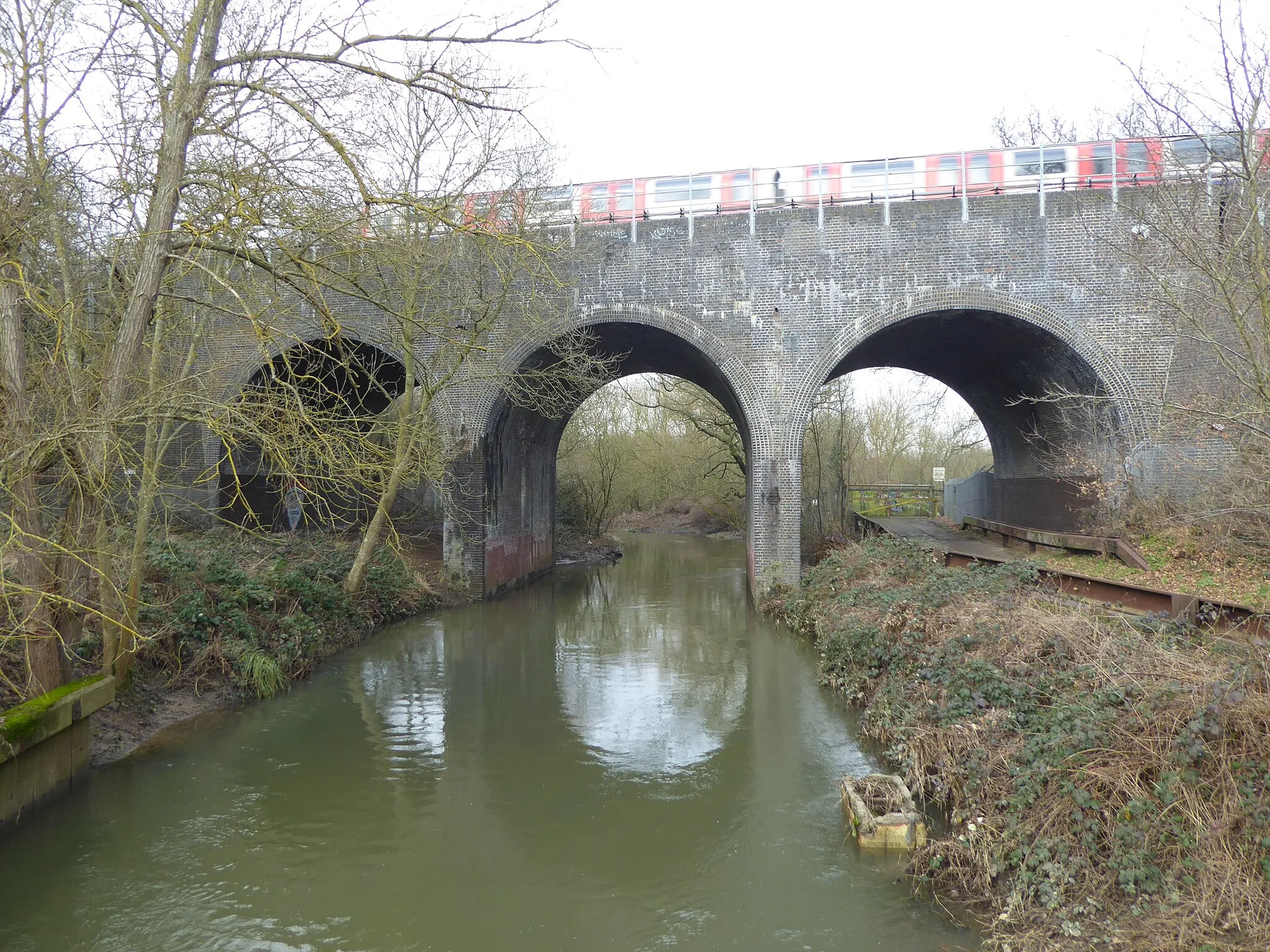
Snaresbrook is a locality situated in the Outer London — East and North East region of the United Kingdom. From a cyclist's perspective, Snaresbrook offers a mix of urban and suburban cycling opportunities. The area is well-connected with cycling paths and lanes, providing cyclists with easy access to various attractions within London. Nearby, cyclists can explore Epping Forest, a popular cycling spot known for its beautiful woodland trails and scenic routes. Overall, Snaresbrook is a convenient base for cyclists looking to navigate London's bustling streets and explore the surrounding natural landscapes.
Embark on a road cycling adventure through picturesque landscapes steeped in heritage.
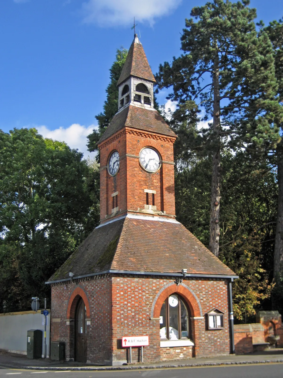
This road cycling route spans 55 kilometers, with an ascent of 212 meters, showcasing the picturesque beauty and historical heritage of East London. Enjoy enchanting views, from the charming Woodford Bridge to the iconic Wanstead Park. The relatively flat terrain makes it suitable for well-trained amateurs.
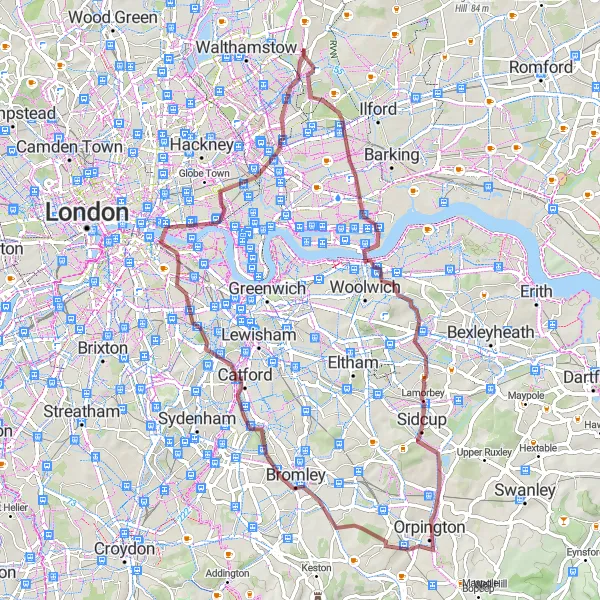
Snaresbrook to Wimbledon Village
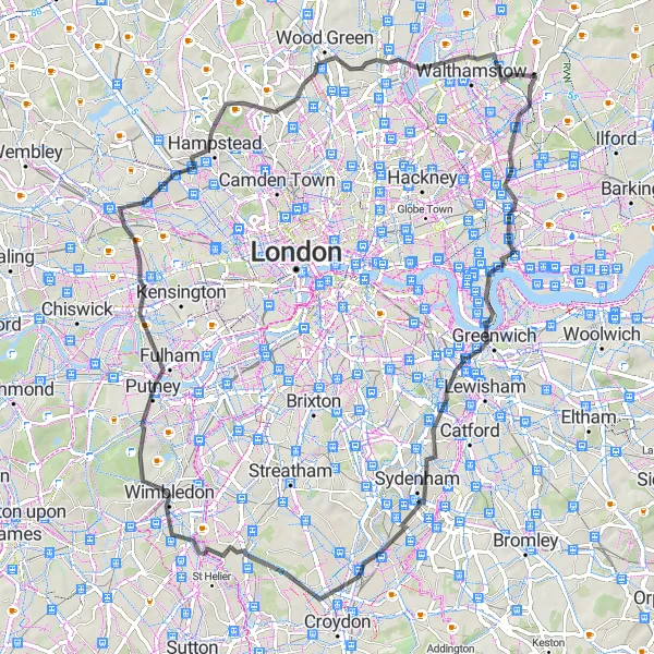
A scenic road cycling route from Snaresbrook to Wimbledon Village.
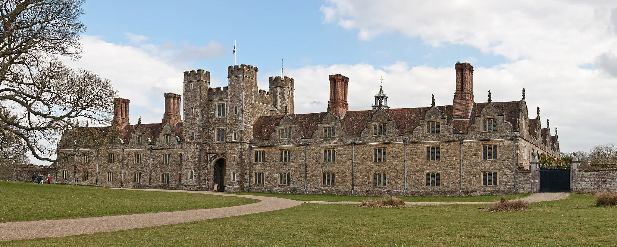
This road cycling route takes you from the outskirts of London towards the scenic Wimbledon Village. Along the way, you'll pass by famous landmarks such as Cutty Sark, One Tree Hill, and South Norwood. The route covers a total distance of 76 kilometers with an ascent of 362 meters.
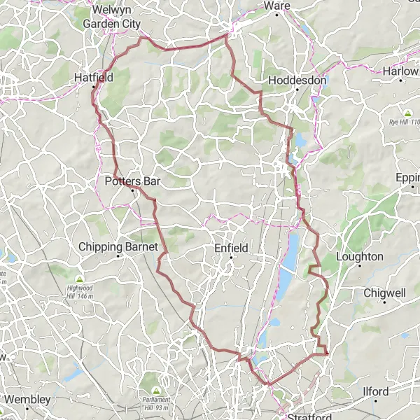
Cockfosters and Cheshunt Loop
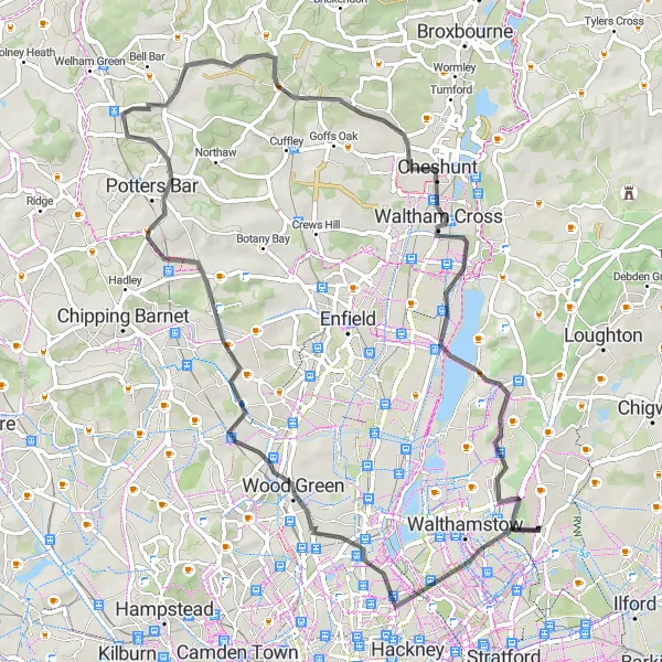
A scenic road cycling route from Snaresbrook passing through Cockfosters and Cheshunt.
This road cycling route takes you through scenic areas around London, passing by Cockfosters and Cheshunt. It covers a distance of 66 kilometers with an ascent of 450 meters. The route offers a mix of urban and countryside landscapes, providing a diverse cycling experience.
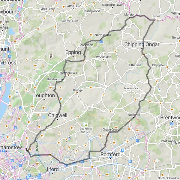
East London Gravel Loop
Ride through the vibrant neighborhoods and iconic landmarks of East London.
This round-trip cycling route starting near Snaresbrook takes you on a adventurous journey through the distinctive and lively neighborhoods of East London. The gravel roads provide a unique riding experience as you pass by famous landmarks and historic sites. With a mix of urban scenery and greenery, this route offers a well-rounded cycling experience for all enthusiasts.
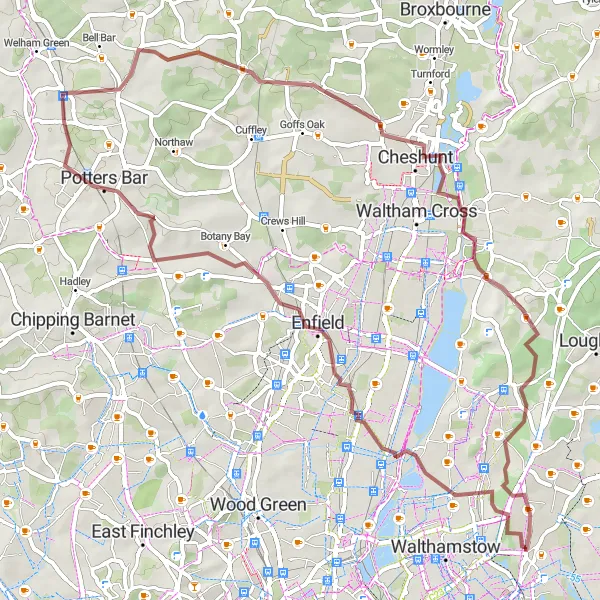
Embark on a gravel adventure through diverse landscapes of woods and hills.
This gravel route offers a thrilling adventure through varied terrains over a distance of 61 kilometers, with an ascent of 430 meters. Suitable for gravel bike enthusiasts, it takes you through Enfield's picturesque woods and the challenging Lippitts Hill climb.
An adventurous gravel cycling route starting near Snaresbrook and passing through Wood Green.
This gravel cycling route takes you on an adventurous journey from Snaresbrook to Wood Green. It covers a distance of 81 kilometers with an ascent of 447 meters. The route is mostly off-road through scenic woodland areas, providing a thrilling gravel experience.
Exploring Epping Forest
Get lost in the enchanting woodlands of Epping Forest and uncover its hidden gems.
This route takes you through the mesmerizing Epping Forest, known for its ancient oak trees and serene beauty. With a moderate ascent of 365 meters over a distance of 78 kilometers, it offers a challenging yet rewarding ride. The mix of road and gravel terrain adds a touch of adventure to the journey.
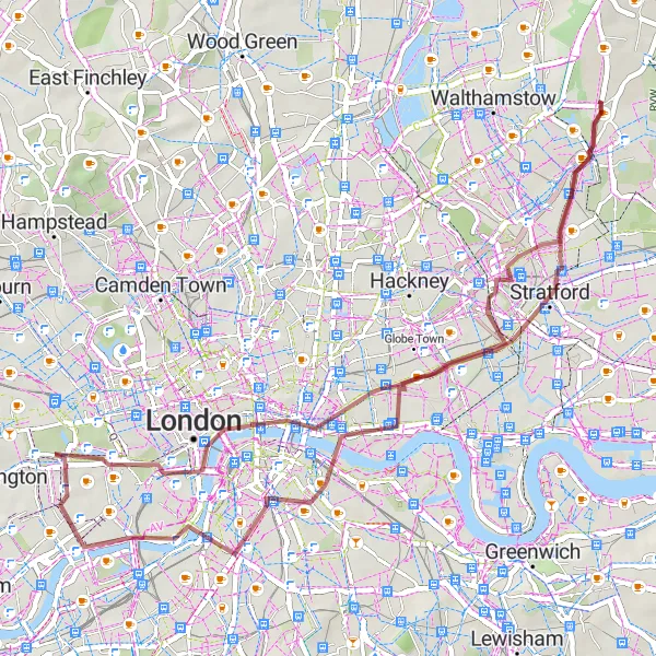
Gravel Loop: River to City
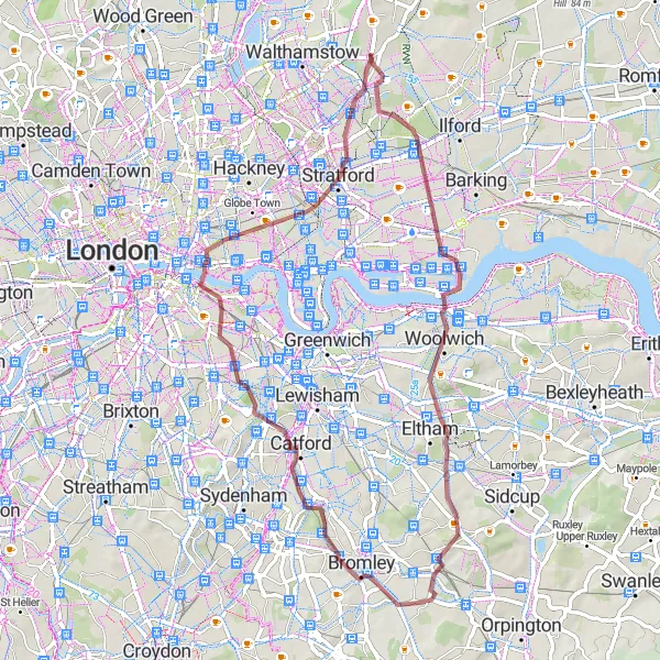
Experience the best of both worlds with this gravel loop from river to city.
Embark on a captivating gravel loop from river to city over a distance of 58 kilometers, with an ascent of 310 meters. Explore the scenic beauty around Beckton Alps and pass through iconic London landmarks such as Tower Bridge and Whitechapel on this mixed surface adventure.
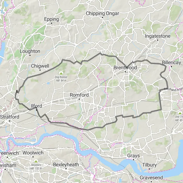
Woodford Bridge Loop
A challenging road cycling route from Snaresbrook looping through Woodford Bridge.
This road cycling route provides a challenging ride through Woodford Bridge and nearby areas. It covers a distance of 68 kilometers with an ascent of 524 meters. The route offers great scenic views and beautiful countryside landscapes.
Hidden Gems of East London
Discover the hidden gems of East London on this adventurous gravel route.
Embark on an exciting journey through East London's colorful neighborhoods and green spaces. With an ascent of 325 meters over a distance of 68 kilometers, this gravel route offers a moderate challenge. Immerse yourself in the vibrant diversity of Manor Park, Beckton Alps, and Tower Bridge.
Cycling routes nearby:

Nearby regions: