Gravel Loop: River to City
A gravel cycling route starting from Snaresbrook
Experience the best of both worlds with this gravel loop from river to city.
Map
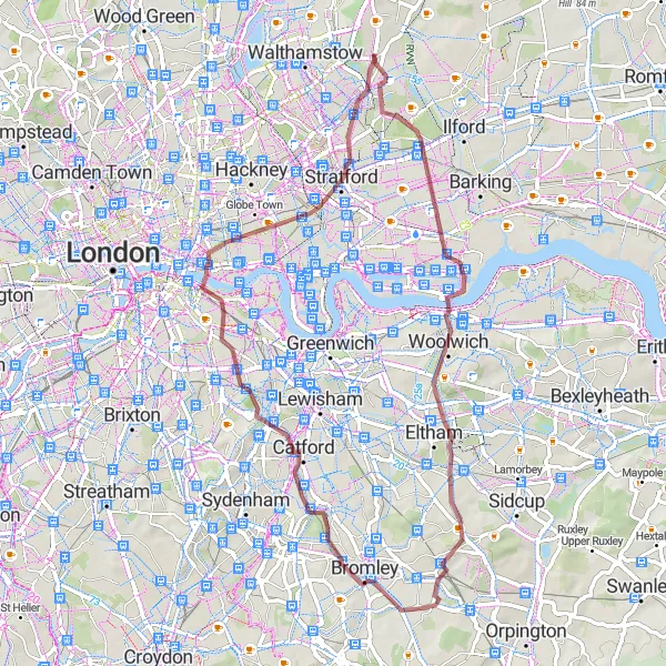
Embark on a captivating gravel loop from river to city over a distance of 58 kilometers, with an ascent of 310 meters. Explore the scenic beauty around Beckton Alps and pass through iconic London landmarks such as Tower Bridge and Whitechapel on this mixed surface adventure.
gravel
58 km
310 m
Tough
Route profile
Highlights on the route
0 km
0 km
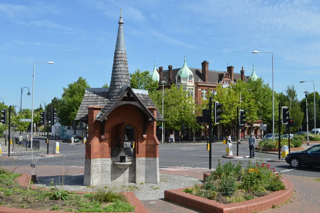
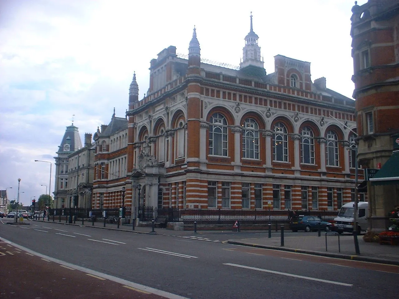
Start: Locality centerSnaresbrook: Urban cycling with easy access to natural beauty in Snaresbrook.
Snaresbrook is a locality situated in the Outer London — East and North East region of the United Kingdom. From a cyclist's perspective, Snaresbrook offers a mix of urban and suburban cycling opportunities. The area is well-connected with cycling paths and lanes, providing cyclists with easy access to various attractions within London. Nearby, cyclists can explore Epping Forest, a popular cycling spot known for its beautiful woodland trails and scenic routes. Overall, Snaresbrook is a convenient base for cyclists looking to navigate London's bustling streets and explore the surrounding natural landscapes.8 km
8 km
Beckton Alps35 mPeakBeckton Alps, an thrilling cycling venue set amidst beautiful natural surroundings.
14 km
14 km
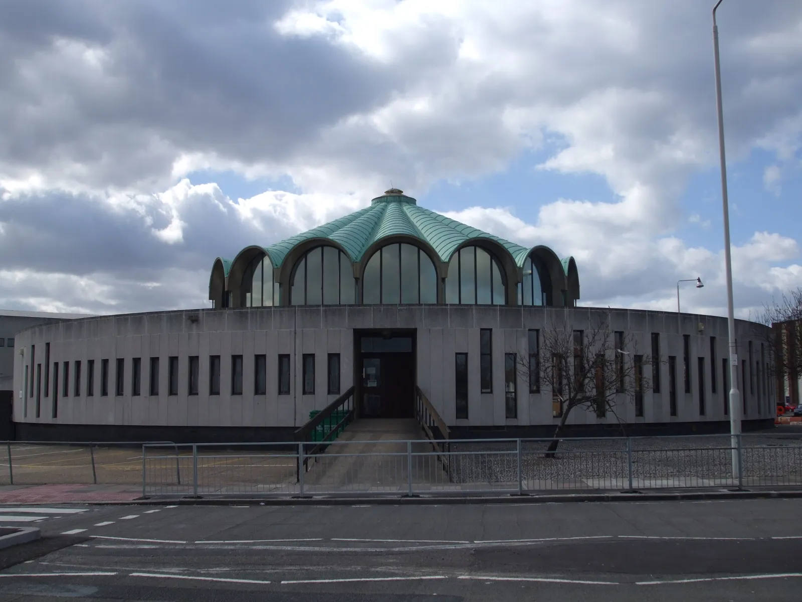
WoolwichTownWoolwich, an area rich in history, offering riverfront promenades and stunning views.
26 km
26 km
SouthboroughSub-urbSouthborough, a charming suburb with peaceful neighborhoods and a cozy village feel.
30 km
30 km
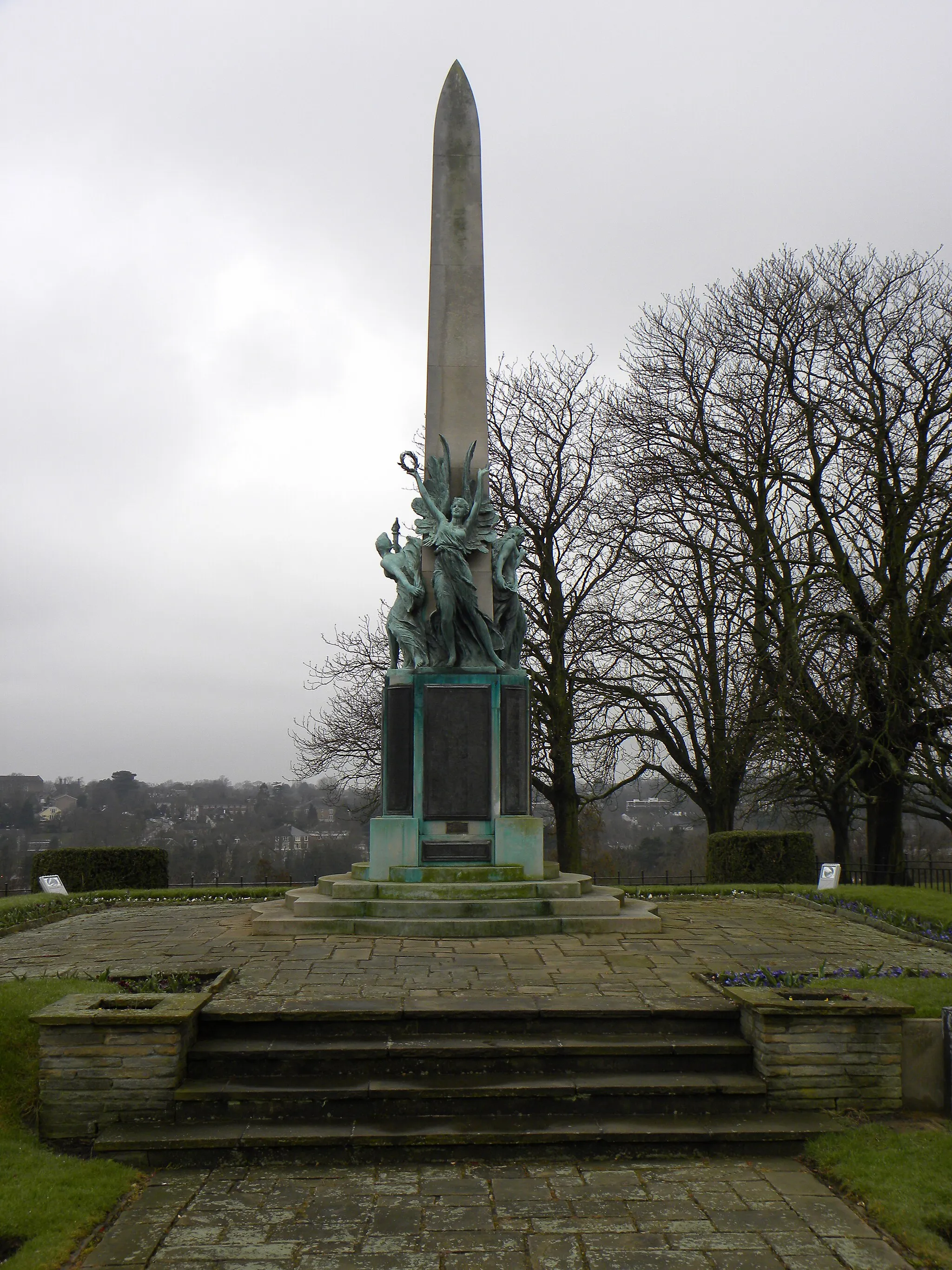
Martin's Hill64 mPeakMartin's Hill, a gravel climb that offers scenic views of the surrounding countryside.
45 km
45 km
Tower BridgeViewpointTower Bridge, an iconic London landmark offering panoramic vistas of the River Thames.
47 km
47 km
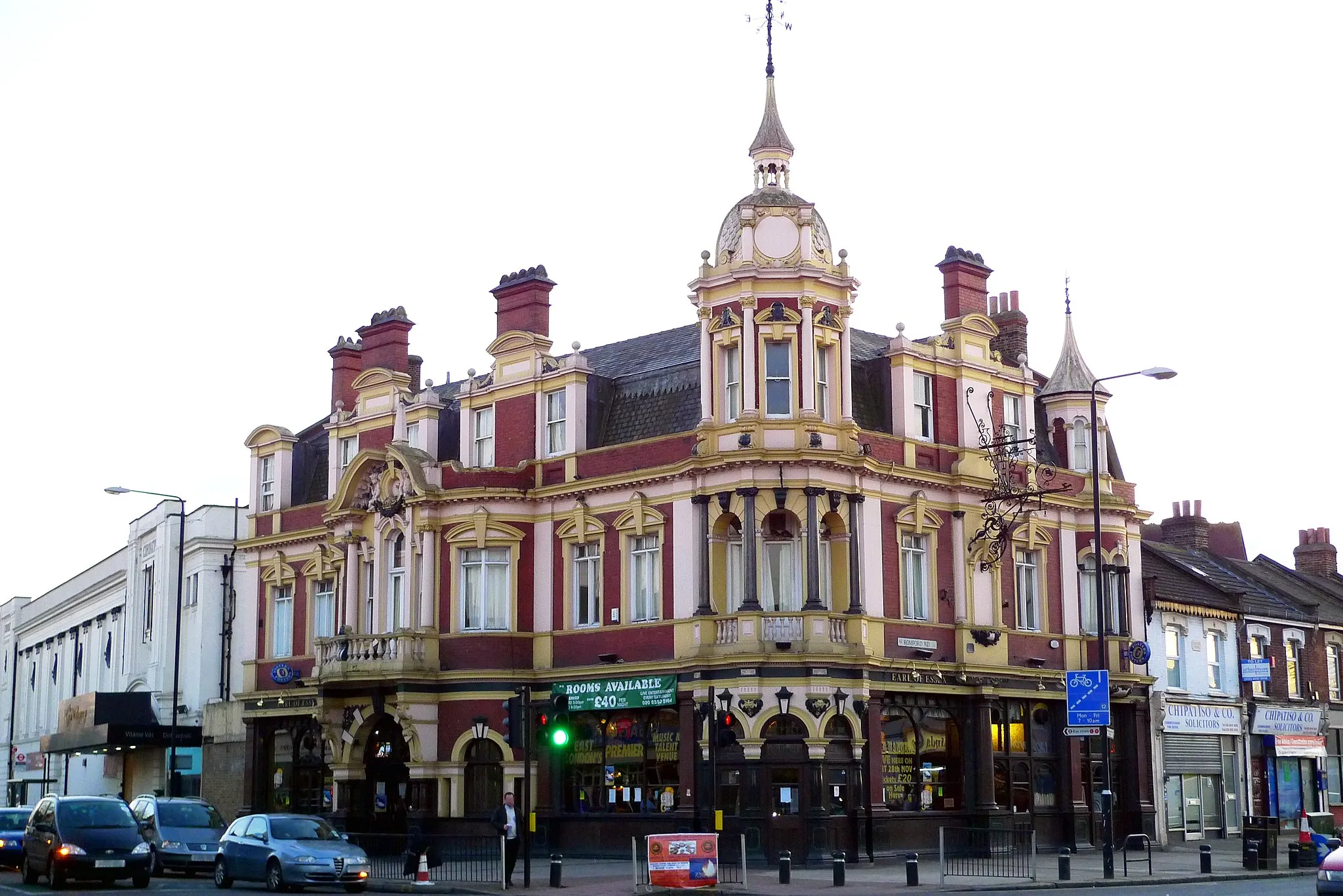
WhitechapelSub-urbWhitechapel, a diverse neighborhood with a rich history and vibrant cultural scene.
53 km
53 km
StratfordTownStratford, known for its bustling Westfield shopping center and proximity to Olympic Park.
58 km
58 km
Finish: Locality centerSnaresbrook: Urban cycling with easy access to natural beauty in Snaresbrook.
Cycling routes from Snaresbrook:
Cycling routes nearby: