Gravel Adventure to Stanford Rivers
A gravel cycling route starting from Upminster
Embark on a gravel adventure to the picturesque village of Stanford Rivers.
Map

This gravel route takes you on an adventure to the charming village of Stanford Rivers. With an elevation gain of 275 meters and a distance of 39 km, this ride is suitable for experienced gravel cyclists. Explore the scenic countryside and enjoy the peacefulness of the surroundings. Highlights along the way include Upminster, known for its historic buildings, and Cranham, offering ancient woodlands for exploration.
gravel
39 km
275 m
Tough
Route profile
Highlights on the route
0 km
0 km
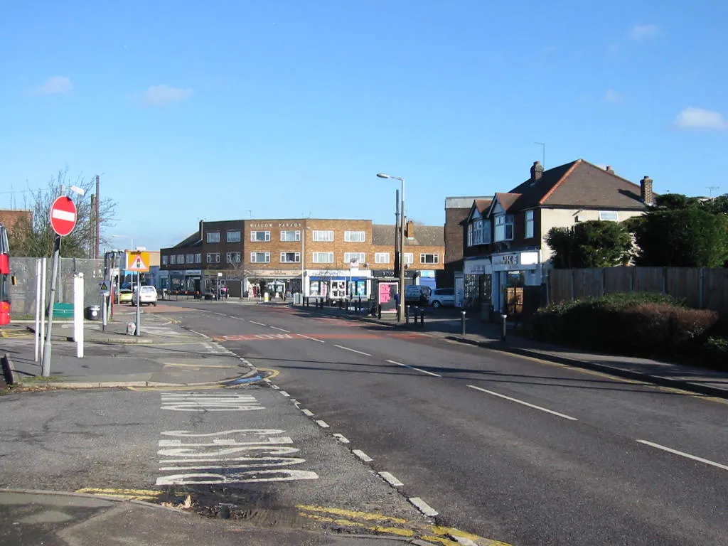
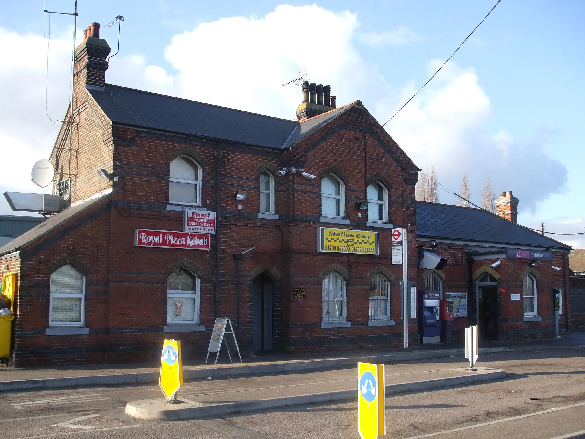
Start: Locality centerUpminster: Gateway to cycling adventures in East England
Upminster, situated in the Outer London — East and North East region of the United Kingdom, offers diverse cycling opportunities for both road and gravel cyclists. Cyclists can enjoy scenic routes through the countryside and easy access to popular cycling destinations like Essex and Hertfordshire. While Upminster may not have its own well-known climbs, its proximity to cycling-friendly areas and convenient transportation connections make it a suitable base for exploring the surrounding regions.0 km
0 km
UpminsterSub-urbStart from Upminster, a historic town with beautiful architecture and a lively atmosphere. Visit the local shops and cafes before starting your gravel adventure.
19 km
19 km
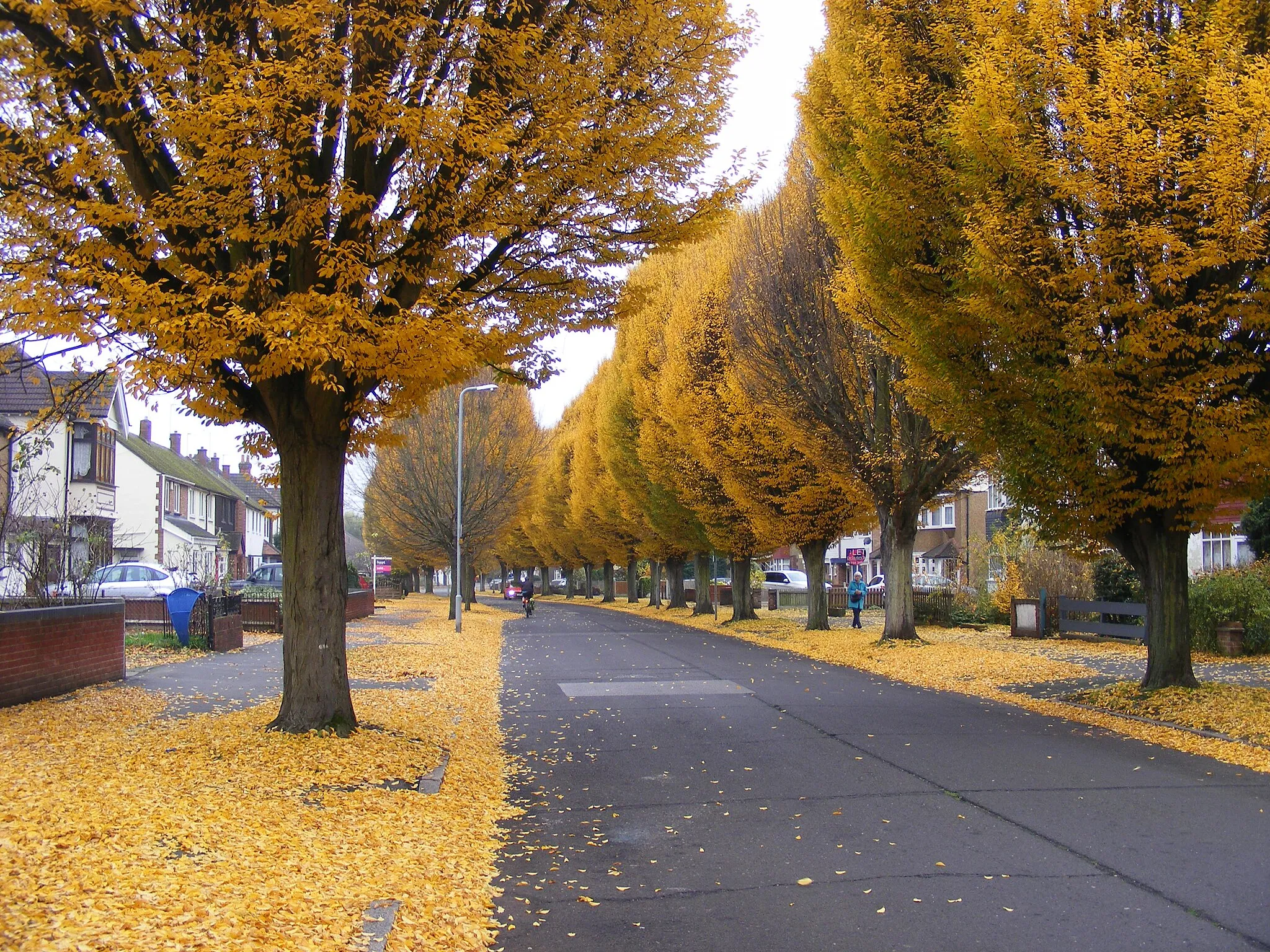
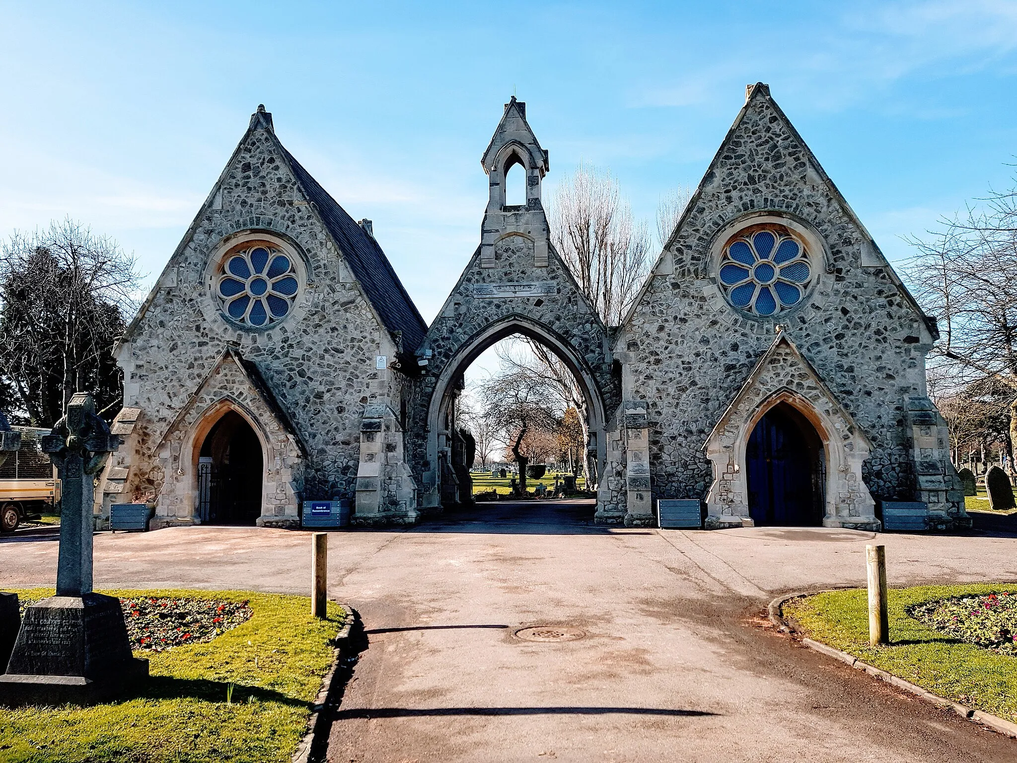
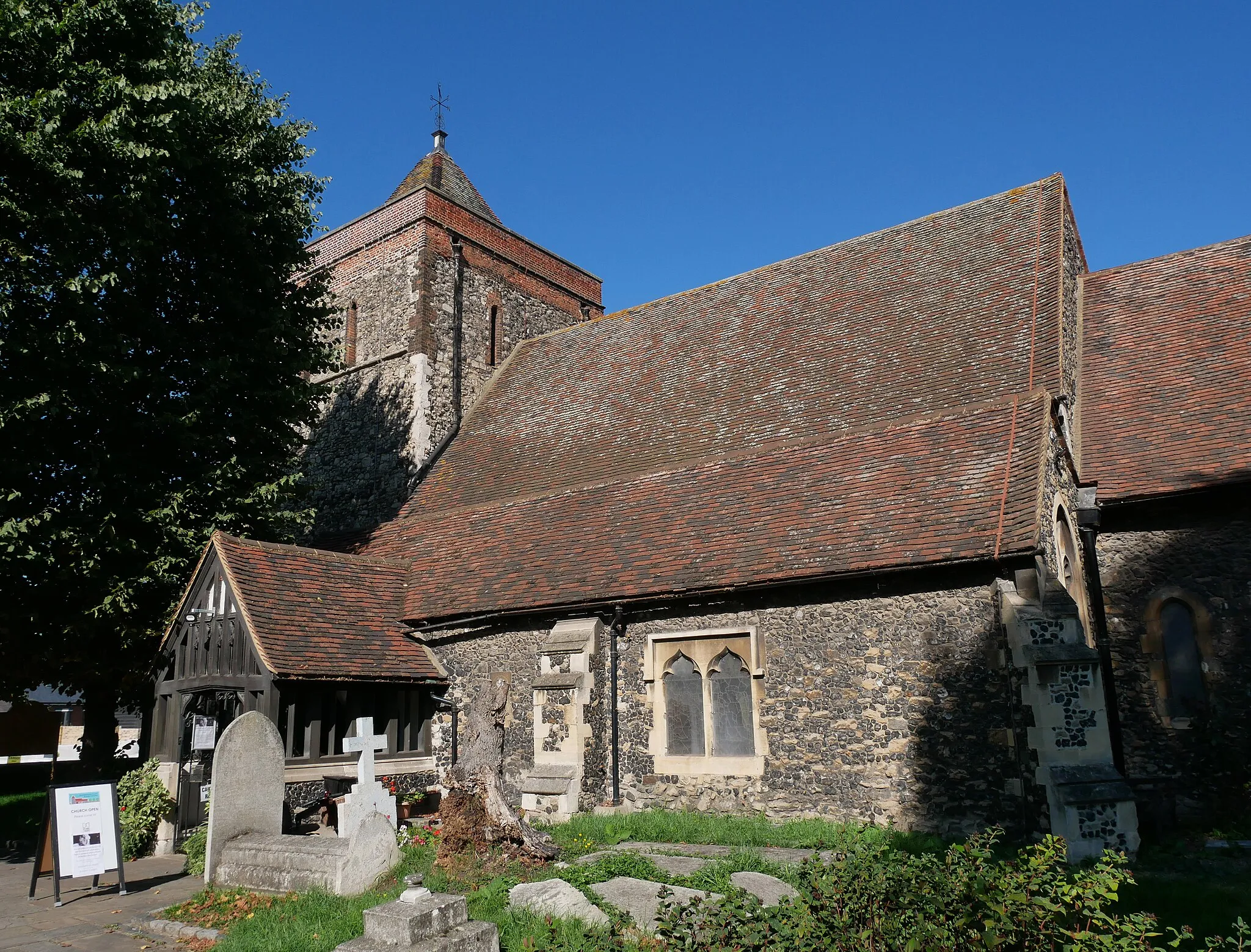
Stanford RiversVillageStanford Rivers is a picturesque village with a lovely river running through it. Take a moment to relax by the riverbank and enjoy the tranquility.
37 km
37 km
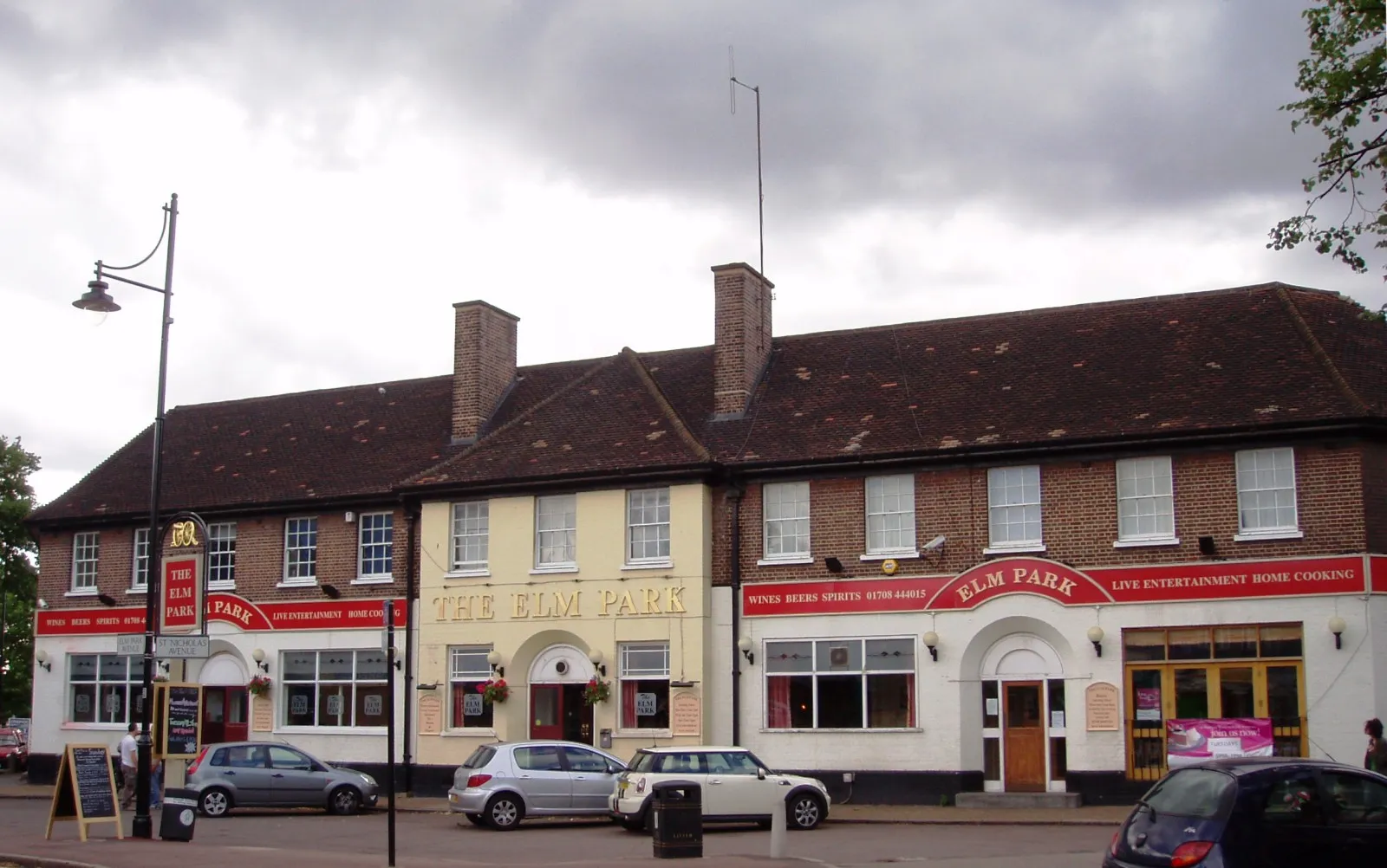
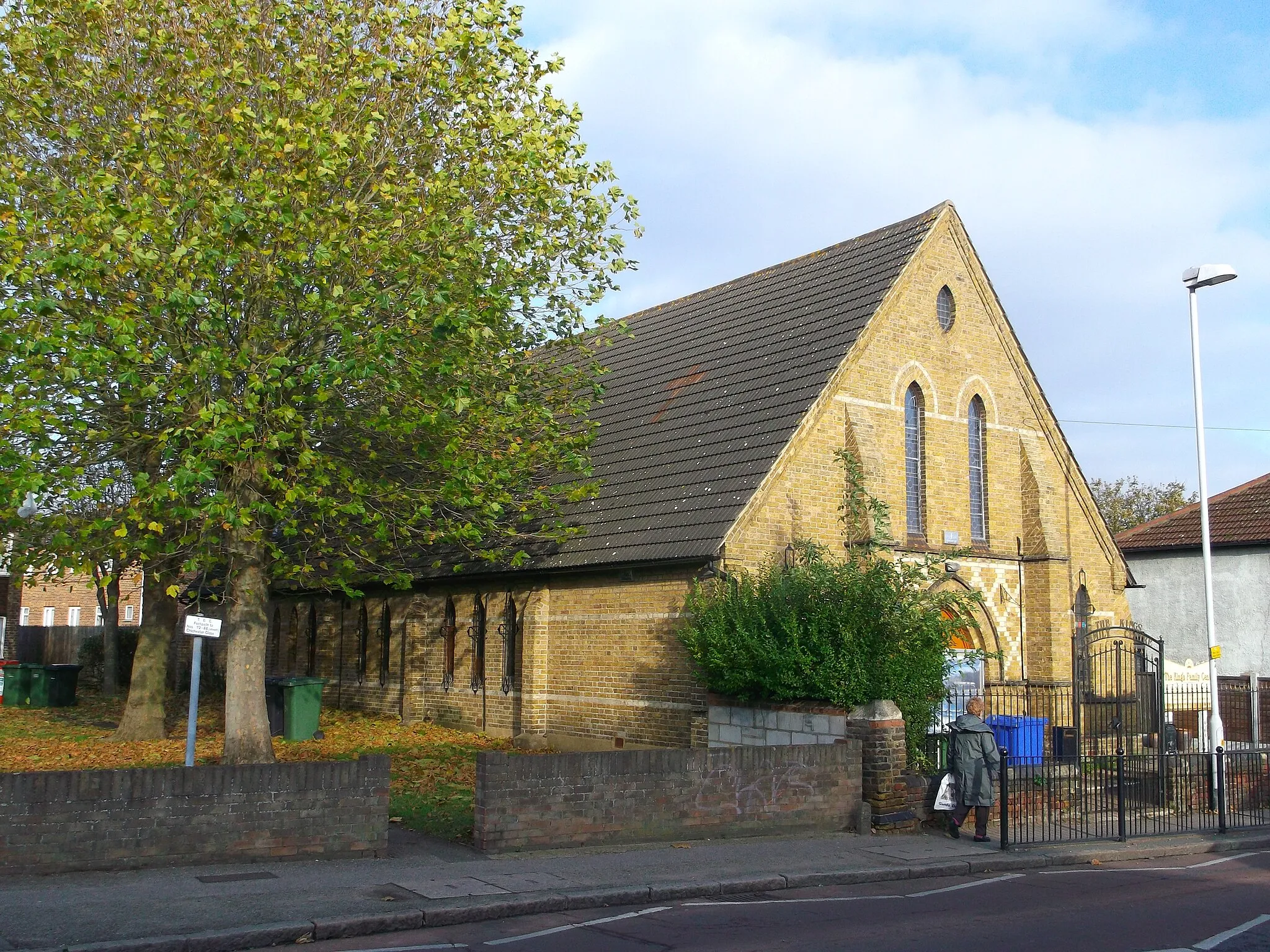
CranhamSub-urbCranham offers ancient woodlands and peaceful walking trails. Immerse yourself in nature and experience the beauty of the area.
39 km
39 km
Finish: Locality centerUpminster: Gateway to cycling adventures in East England
Cycling routes from Upminster:
Cycling routes nearby: