Gravel Adventure to Leith Hill
A gravel cycling route starting from Kenley
Embark on an epic gravel adventure to Reigate Hill and Leith Hill
Map

Experience the thrill of off-road cycling as you embark on an epic gravel adventure to Reigate Hill and Leith Hill. This challenging route covers a distance of 99 kilometers and features a total ascent of 1135 meters. With a difficulty level of 4, it is recommended for experienced amateur riders seeking an adrenaline rush. The epicness rating is 4, thanks to the scenic highlights and diverse terrain on this gravel trail.
gravel
99 km
1135 m
Tough
Route profile
Highlights on the route
0 km
0 km
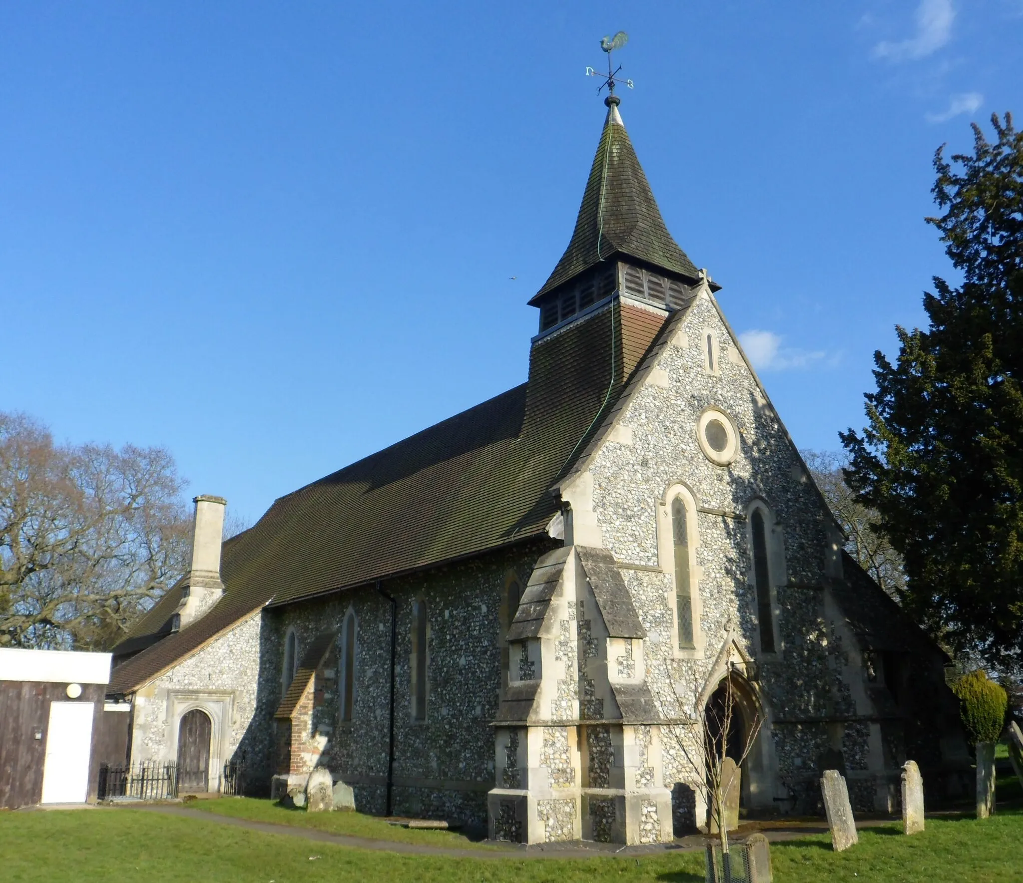
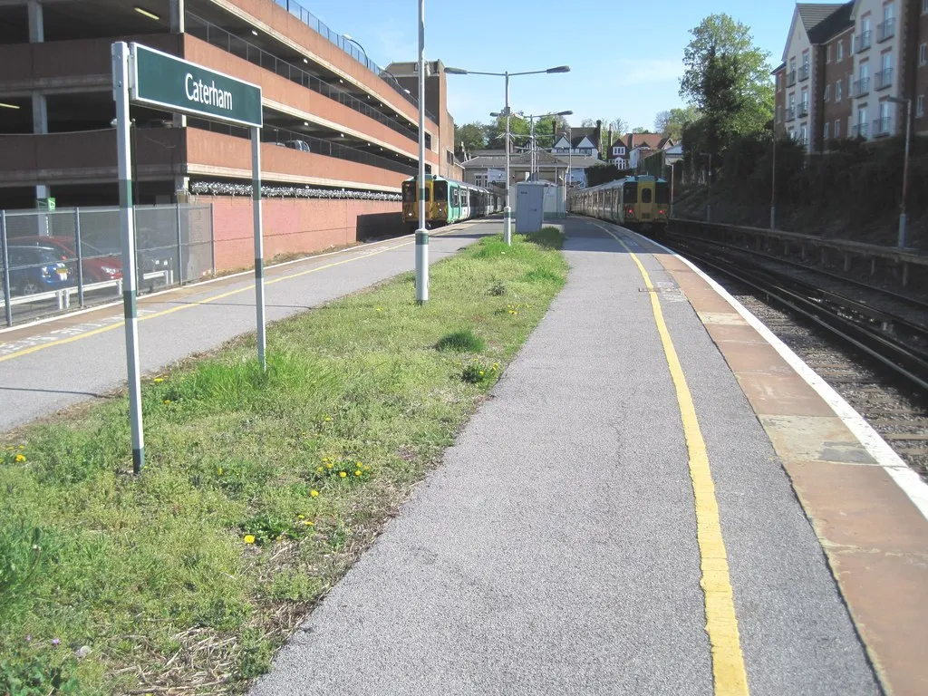
Start: Locality centerKenley: Exploring the scenic countryside starting from Kenley
Kenley, located in Outer London — South, United Kingdom, offers a convenient base for road and gravel cyclists to explore the enchanting countryside. The locality boasts a mix of quiet country lanes and well-maintained roads, ensuring a pleasant cycling experience. Cyclists can enjoy the idyllic scenery, charming villages, and historic landmarks as they pedal through the area. The nearby Surrey Hills is a well-known cycling destination, with iconic climbs such as Box Hill. Kenley is a fantastic starting point for cyclists looking to discover the beauty of the British countryside.14 km
14 km
Reigate HillViewpointExplore the famous Reigate Hill and conquer its challenging gravel trails surrounded by stunning natural scenery.
16 km
16 km
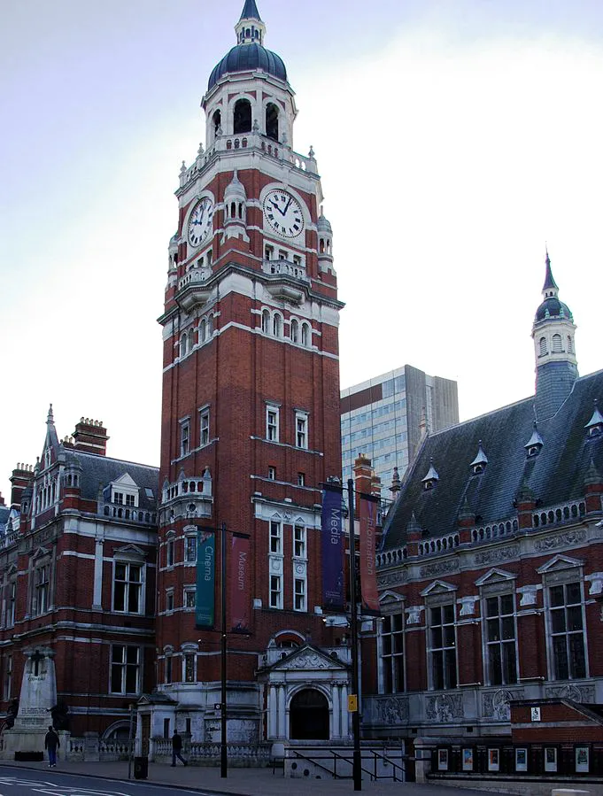
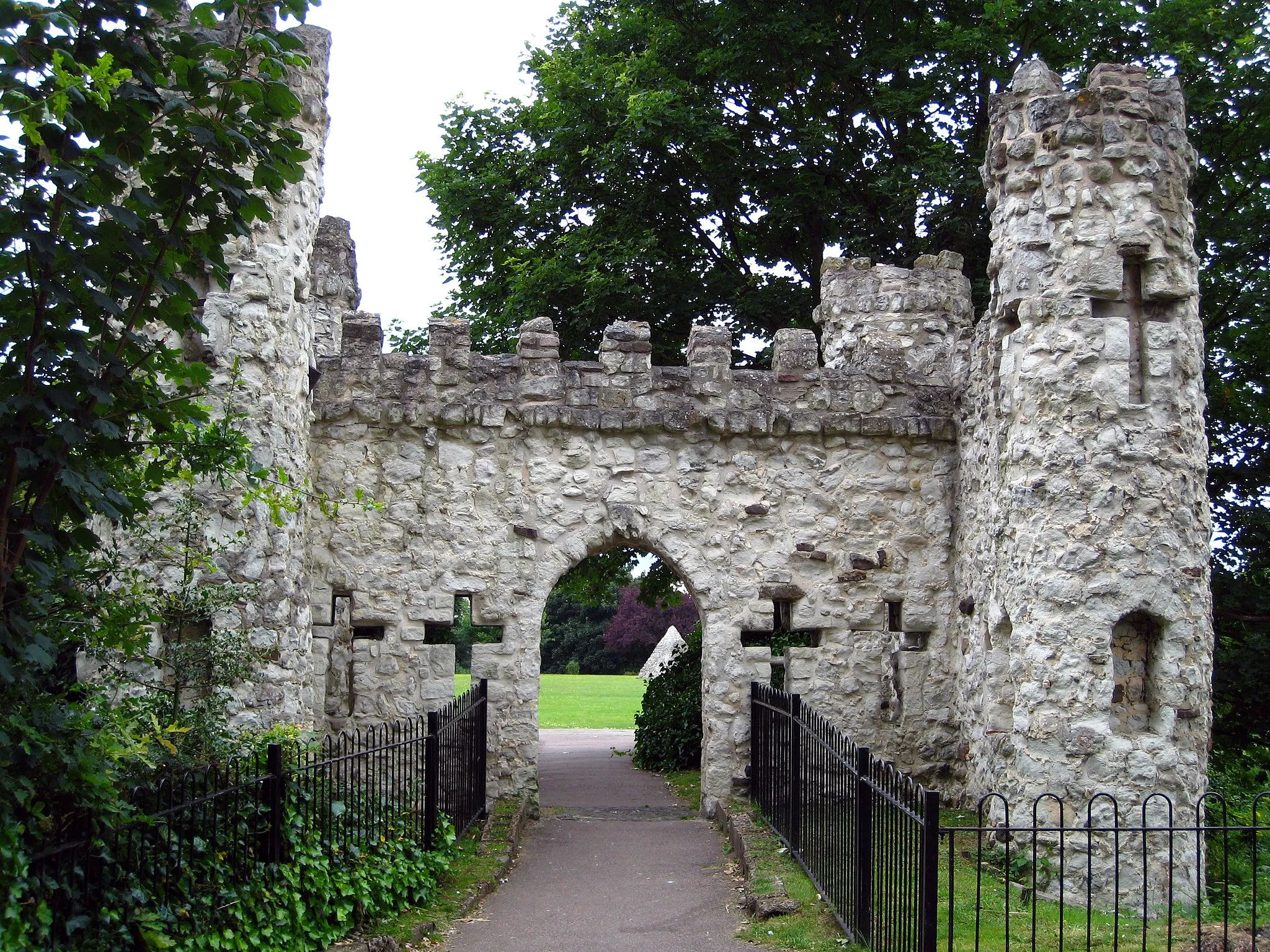
ReigateTownVisit Reigate, a historic market town known for its medieval castle ruins and picturesque streets.
29 km
29 km
South HolmwoodVillageCycle through the scenic countryside surrounding South Holmwood and experience the tranquility of rural landscapes.
33 km
33 km
Leith Hill294 mPeakConquer the legendary climb of Leith Hill, the highest point in Surrey offering panoramic views from its tower.
53 km
53 km
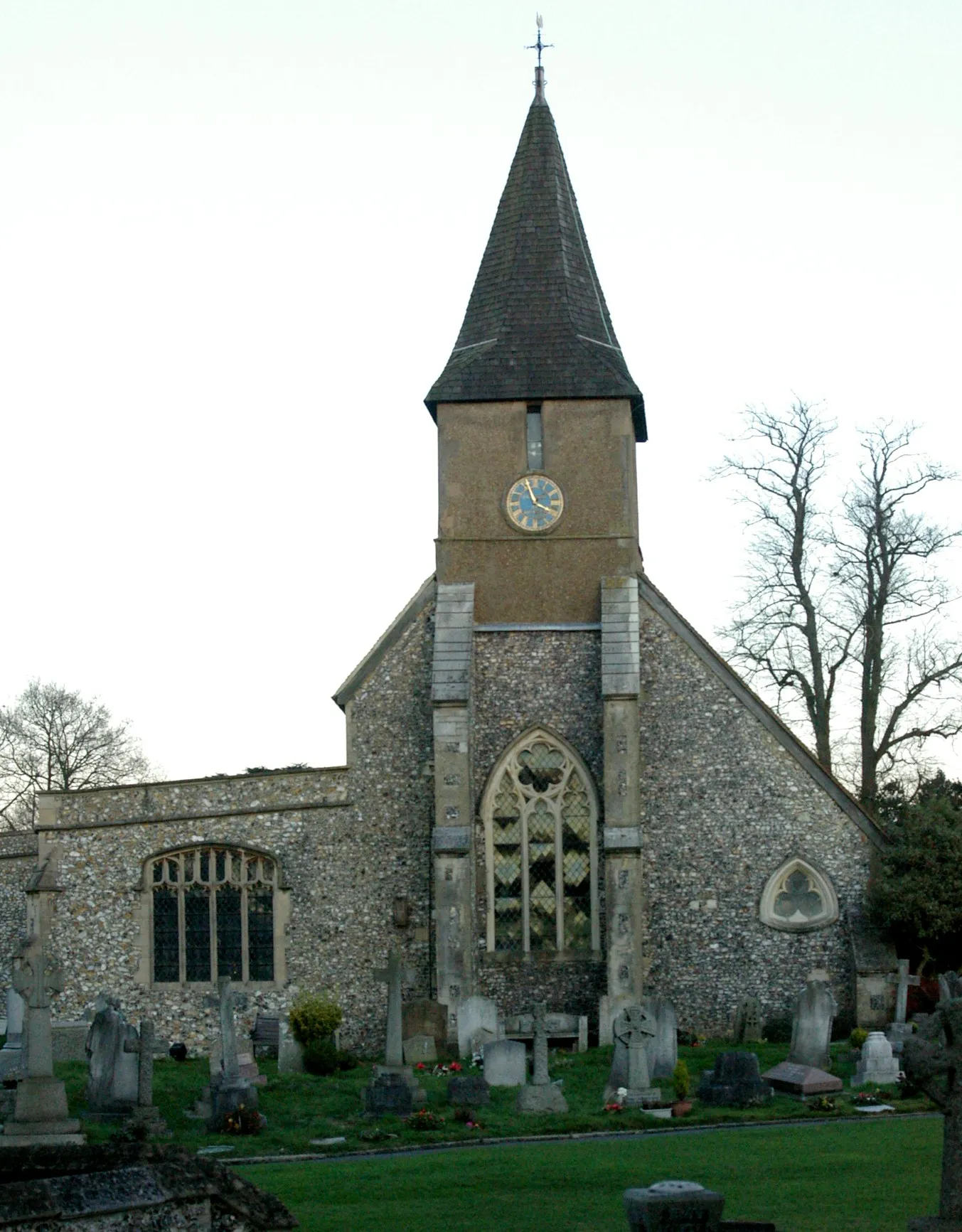
WonershVillageDiscover the charming village of Wonersh with its idyllic cottages and historic church.
54 km
54 km
Chinthurst Hill121 mPeakExperience the natural beauty of Chinthurst Hill and enjoy serene views of the surrounding countryside.
66 km
66 km
Little Kings Wood viewpointViewpointStop by the Little Kings Wood viewpoint to take in the breathtaking panoramas of the area.
78 km
78 km
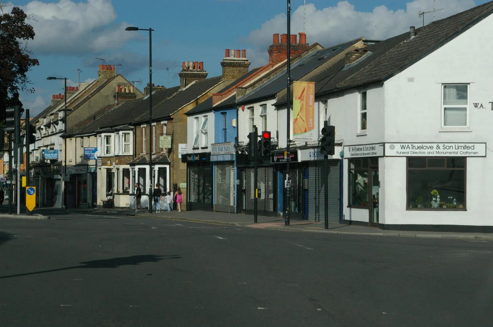
LeatherheadTownExplore Leatherhead, a historic market town located on the banks of the River Mole with its quaint riverside pubs and charming architecture.
90 km
90 km
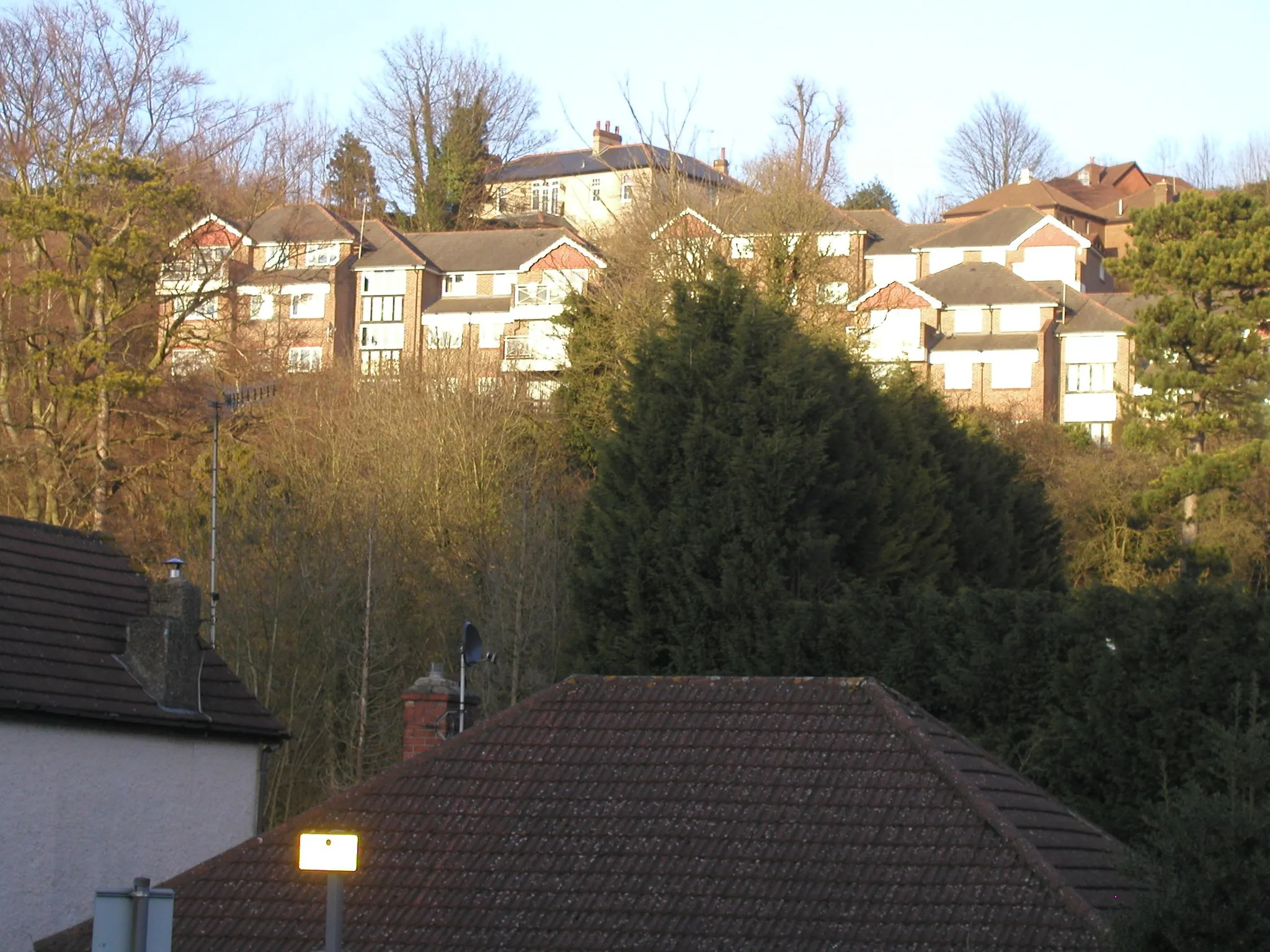
BansteadTownVisit Banstead and cycle through its beautiful rolling hills and picturesque countryside.
98 km
98 km
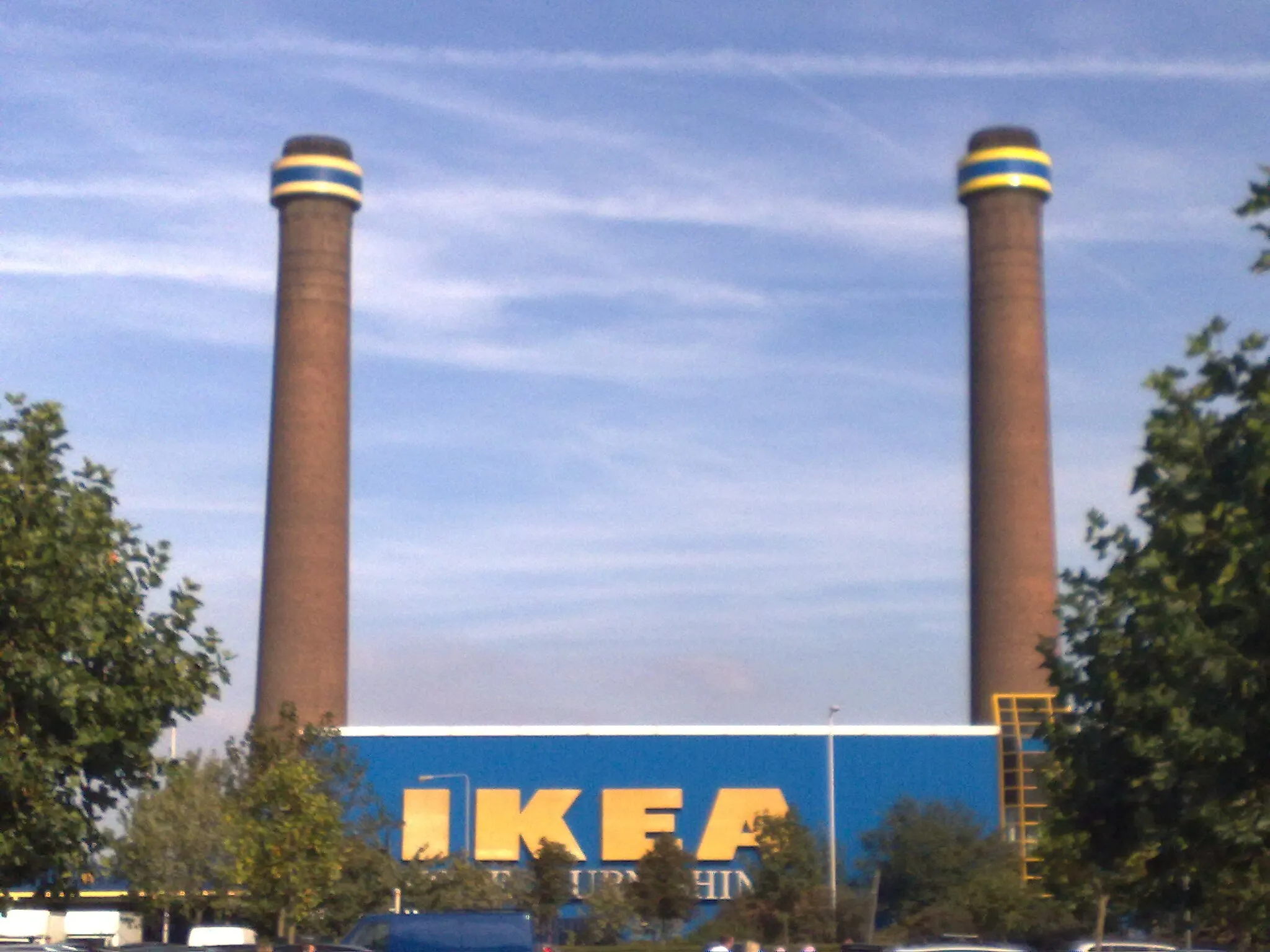
KenleySub-urbEnjoy Kenley's gravel paths and nature trails, offering a scenic escape from urban life.
99 km
99 km
Finish: Locality centerKenley: Exploring the scenic countryside starting from Kenley
Cycling routes nearby: