Barnet to Totteridge Gravel Route
A gravel cycling route starting from Barnet
Explore the gravel paths from Barnet to Totteridge
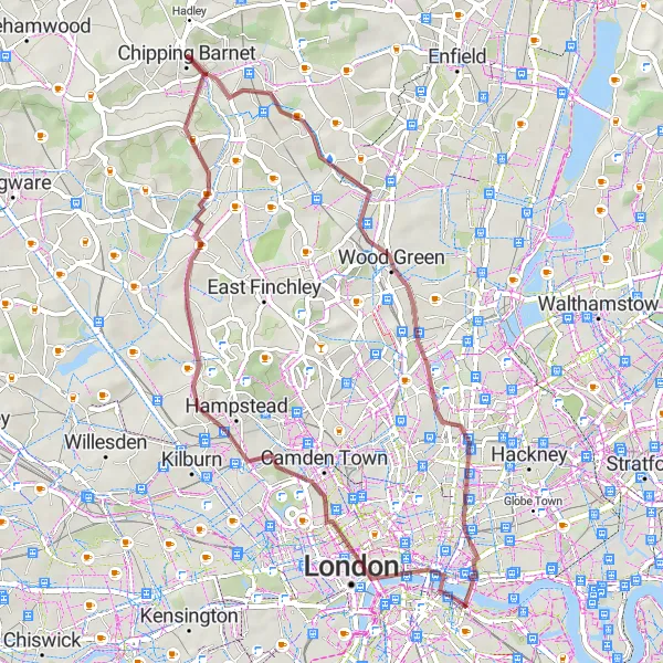
Map
This gravel route takes you through some of the most scenic parts of Barnet, leading to the picturesque village of Totteridge. The route offers a variety of terrain, including gravel paths and quiet country roads. It has a moderate difficulty level, with a few challenging climbs along the way. Prepare to be enchanted by the idyllic countryside surroundings and charming villages on this cycling adventure.
gravel
47 km
366 m
Tough
Route profile
Highlights on the route
0 km
0 km
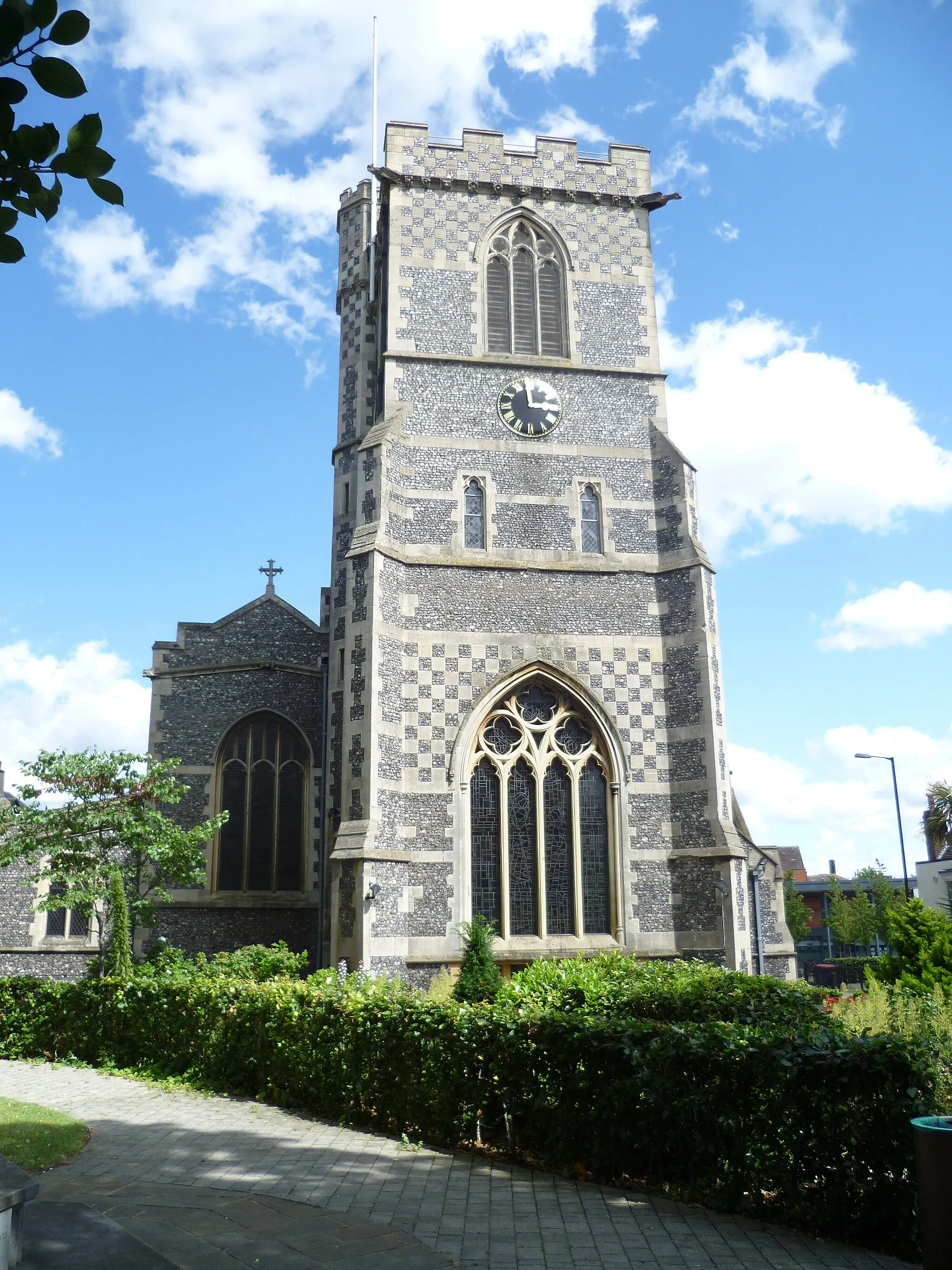
Start: Chipping Barnet City centerBarnet: Cycling in Barnet: a mix of urban and rural rides
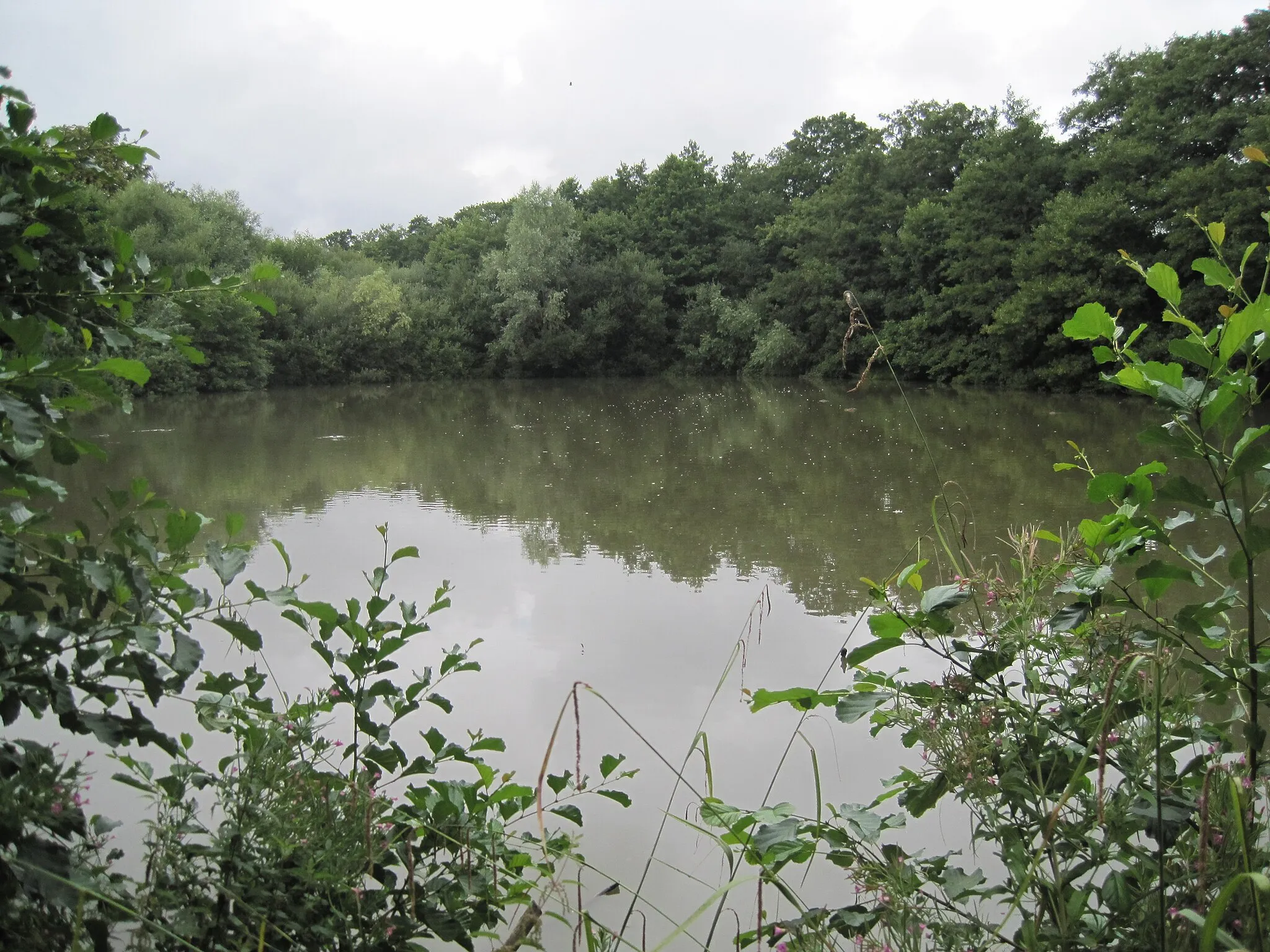
Barnet is a locality in the Outer London - West and North West region of the United Kingdom. From a cyclist's perspective, Barnet offers a mix of urban cycling through the streets of Outer London and rural rides in the beautiful countryside. The locality is well-connected with cycling routes and has dedicated bike lanes in certain areas, making it suitable for road cycling. However, the roads can be quite busy at times, so it is important to be cautious. Barnet is not particularly known for any famous cycling spots or climbs, but the nearby Green Belt area provides opportunities for gravel cycling and scenic rides.3 km
3 km
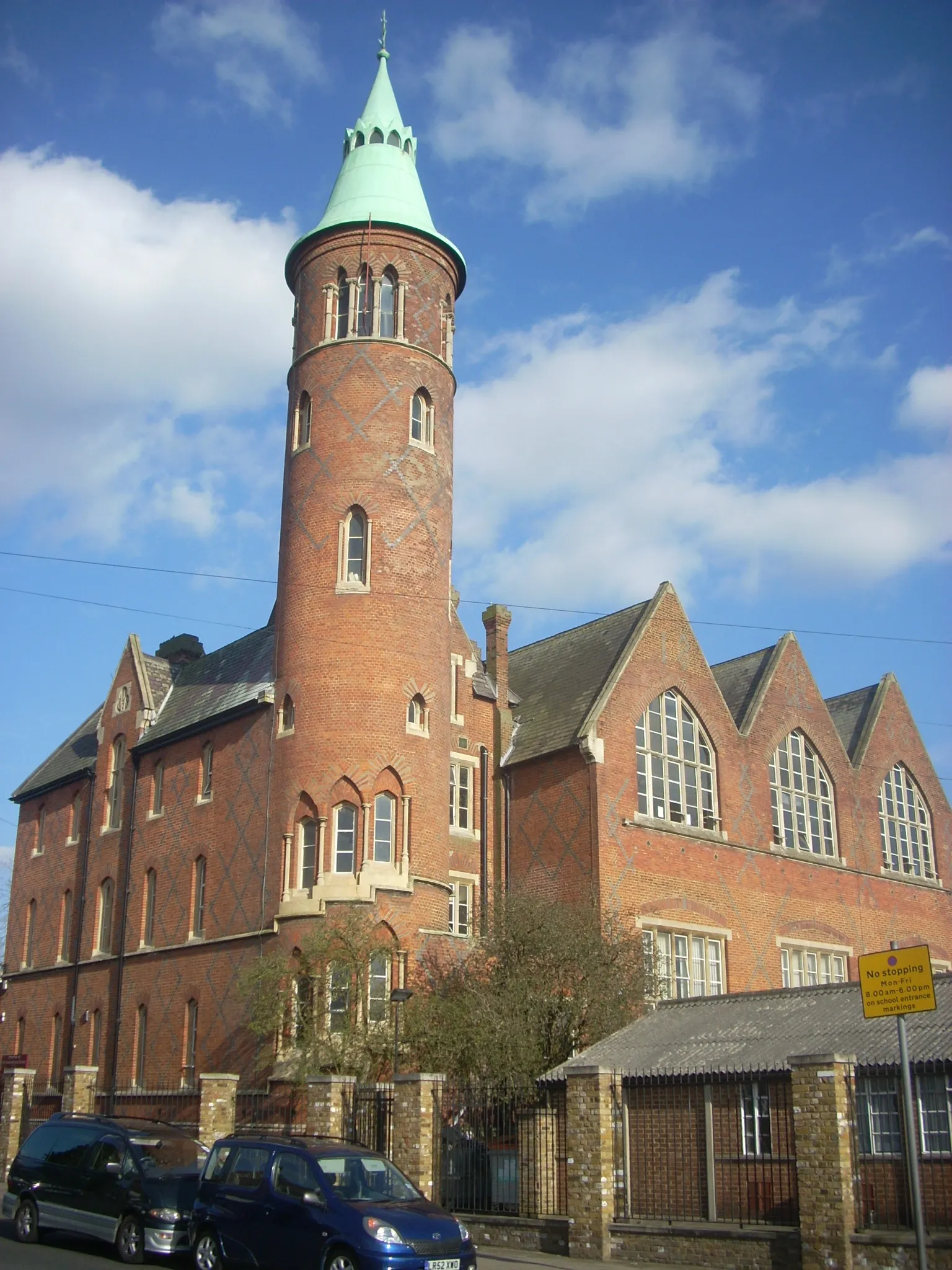
East BarnetSub-urbEast Barnet: Start your journey in East Barnet, a quaint suburb that's a gateway to beautiful Trent Country Park.
17 km
17 km
DalstonSub-urbDalston: Pass through Dalston, a vibrant neighborhood known for its diverse culture and bustling street markets.
22 km
22 km
Tower BridgeViewpointTower Bridge: Marvel at the iconic Tower Bridge, one of London's most famous landmarks.
31 km
31 km
Primrose Hill64 mPeakPrimrose Hill: Enjoy a panoramic view of London's skyline from Primrose Hill, a popular spot for locals and visitors.
38 km
38 km
Temple FortuneSub-urbTemple Fortune: Cycle through Temple Fortune, a charming residential area with serene tree-lined streets.
45 km
45 km
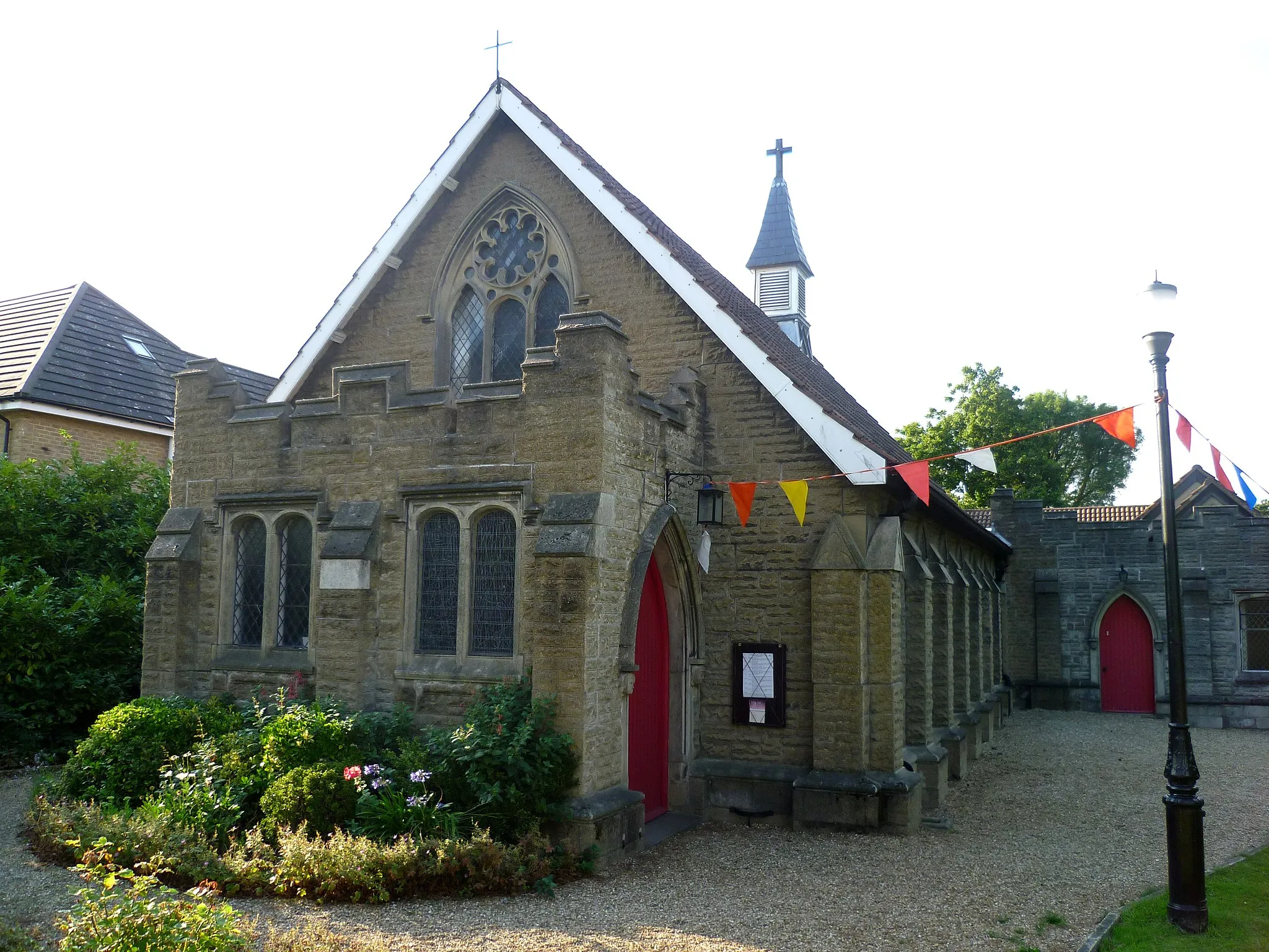
TotteridgeSub-urbTotteridge: Arrive in Totteridge, a village renowned for its ancient woodlands and peaceful countryside.
47 km
47 km
Finish: Chipping Barnet City centerBarnet: Cycling in Barnet: a mix of urban and rural rides
Cycling routes from Barnet:
Cycling routes nearby: