The Woodland Escape
A road cycling route starting from Pinner
A delightful countryside route through woodlands and hills near Pinner
Map
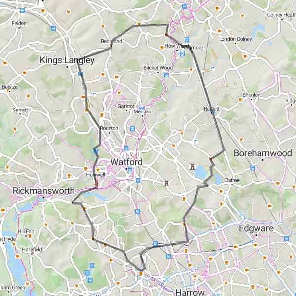
The Woodland Escape is a scenic road cycling route that takes you through picturesque woodlands and hills near Pinner. With a total distance of 47 km and an ascent of 311 meters, this route offers a delightful ride for road bikes. The highlights along the way include Potter Street Hill, Northwood, Bedmond, Frogmore, Caldecote Hill, and Hatch End.
road
47 km
311 m
Chill
Route profile
Highlights on the route
0 km
0 km
Start: Locality centerPinner: Local charm and enjoyable cycling routes
Pinner is a locality located in the Outer London — West and North West region of United Kingdom. From the perspective of a cyclist, Pinner offers moderate cycling conditions. While there aren't any exceptional cycling-related spots or famous climbs nearby, the area does provide some enjoyable cycling routes with relatively low traffic. Additionally, Pinner has a charming high street with boutique shops and restaurants, making it a pleasant destination for tourists. Overall, Pinner may not be a top cycling destination but offers a mix of cycling opportunities and local charm.2 km
2 km
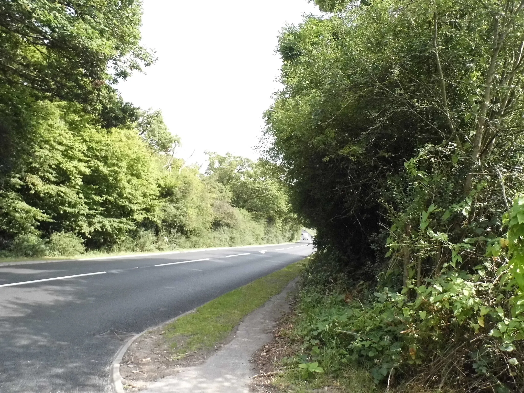
Potter Street Hill134 mPeakPotter Street Hill rewards cyclists with breathtaking views of the surrounding countryside.
3 km
3 km
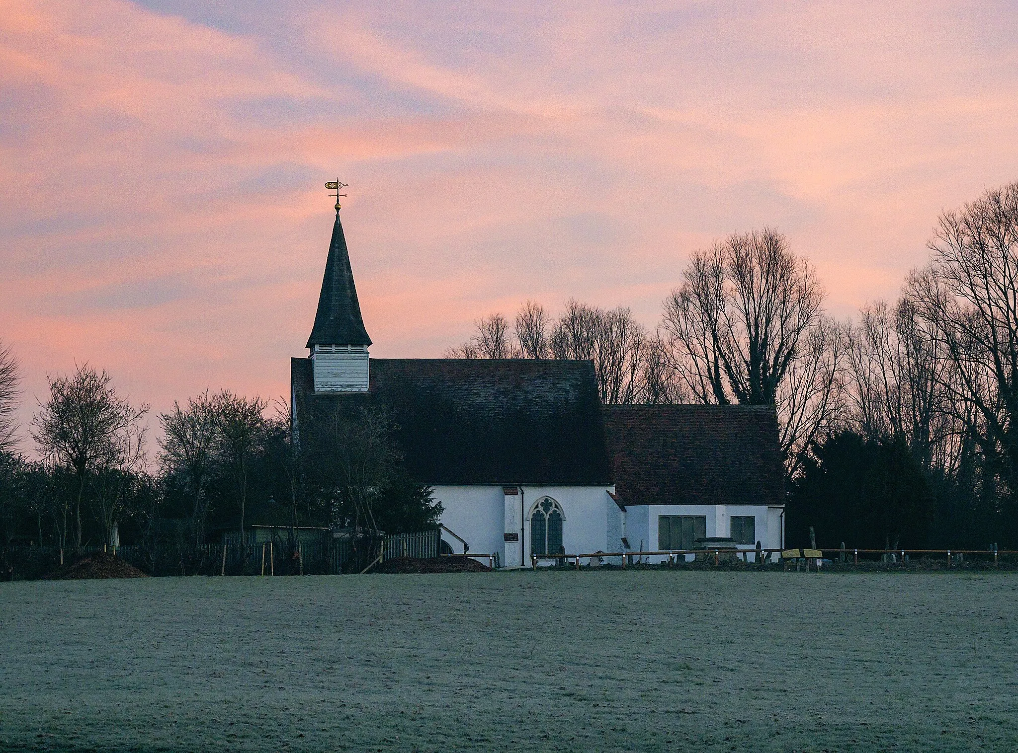
NorthwoodSub-urbNorthwood is a tranquil suburban area known for its leafy streets.
21 km
21 km
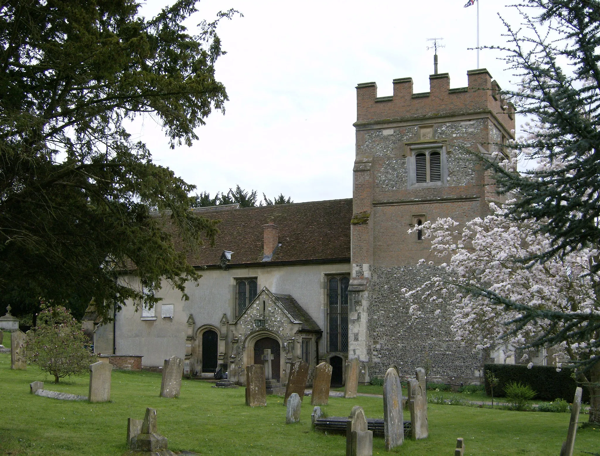
BedmondVillageBedmond is a charming village surrounded by beautiful woodlands.
28 km
28 km
FrogmoreVillageFrogmore is a quaint hamlet with idyllic countryside scenery.
38 km
38 km
Caldecote Hill155 mPeakCaldecote Hill offers stunning views of the rolling landscapes below.
45 km
45 km
Hatch EndSub-urbHatch End is a popular spot for outdoor enthusiasts with its extensive trail network.
47 km
47 km
Finish: Locality centerPinner: Local charm and enjoyable cycling routes