Wroot Wonder
A road cycling route starting from Finningley
Embark on an enchanting road cycling experience, discovering the hidden gems around Wroot.
Map
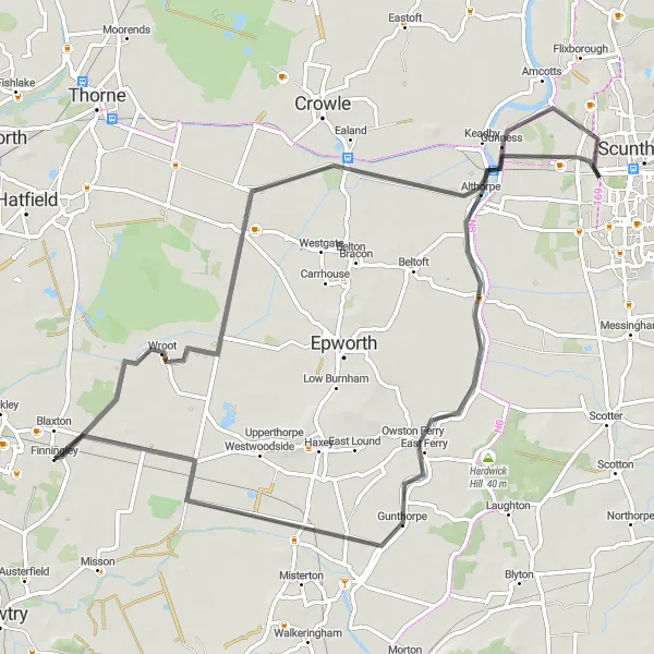
Uncover the beauty of Wroot on this captivating 71-kilometer road cycling route, featuring a moderate total ascent of 73 meters. Pedal through picturesque countryside, making your way to the peaceful village of Blaxton.
road
71 km
73 m
Chill
Route profile
Highlights on the route
0 km
0 km
Start: Finningley Village centerFinningley: Pleasant cycling through rural and semi-rural landscapes.
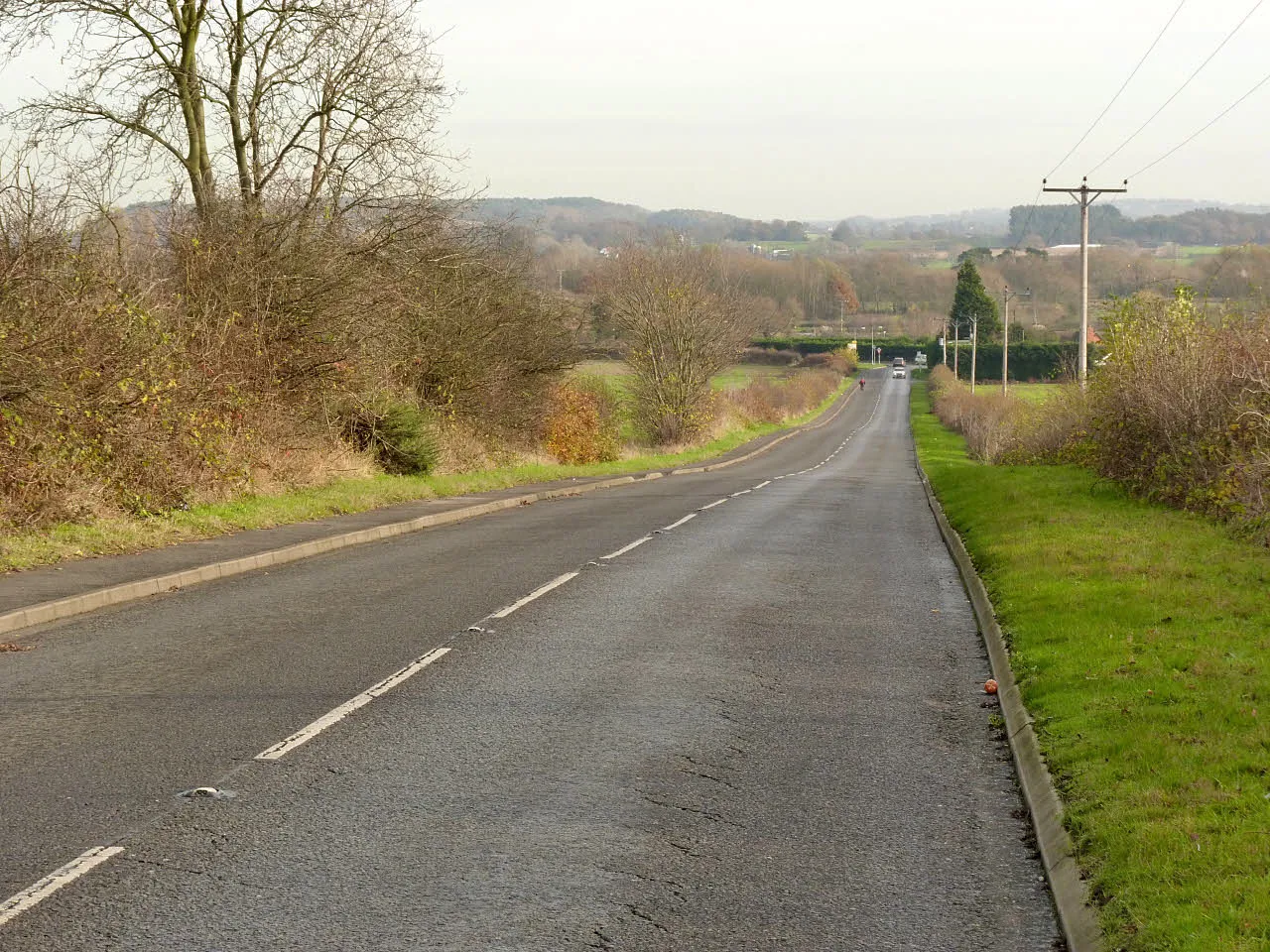
Finningley is a locality situated in South Yorkshire, United Kingdom. It offers a mix of rural and semi-rural landscapes, providing a pleasant environment for road and gravel cycling. Cyclists can enjoy peaceful rides along the quiet country roads and explore the surrounding picturesque villages. While Finningley doesn't have any famous cycling-related spots or climbs in its immediate vicinity, it serves as a starting point for exploring the beautiful South Yorkshire countryside. Overall, Finningley offers a charming cycling experience amidst peaceful surroundings.6 km
6 km
WrootVillageIn Wroot, take a moment to discover the village's charming windmill—a testament to its rich heritage.
37 km
37 km
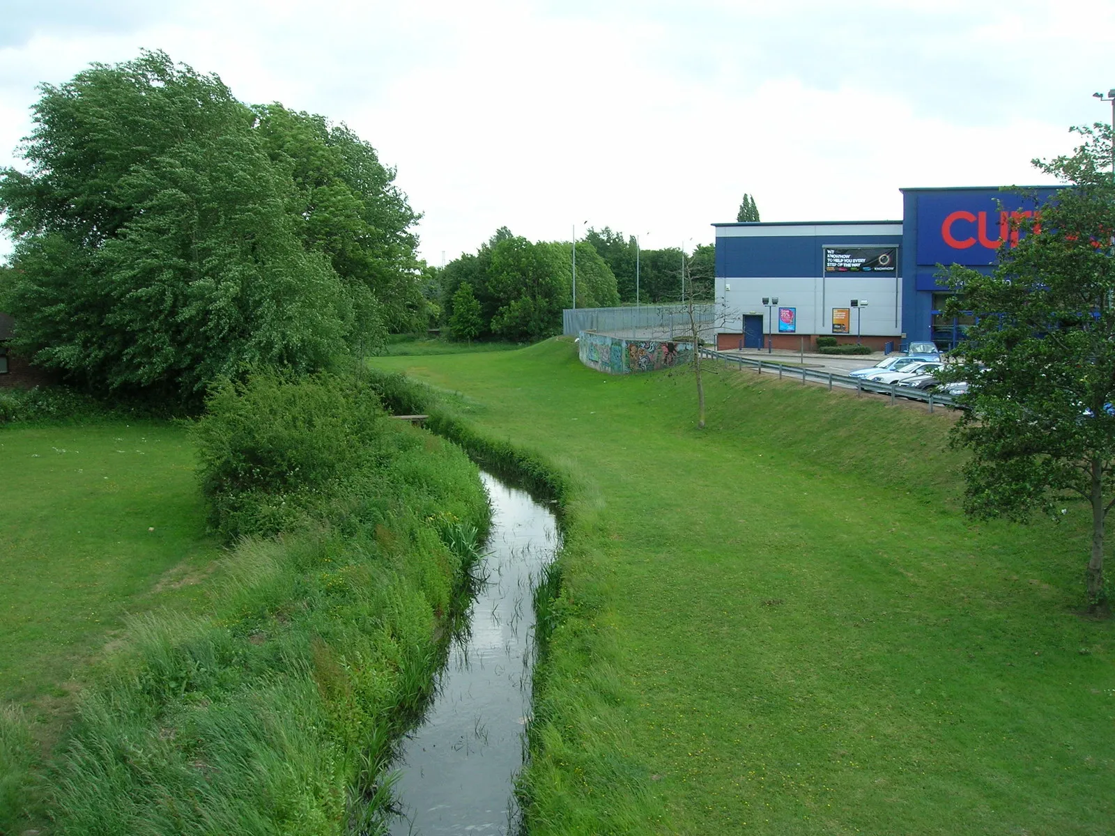
GunnessVillageGunness is renowned for its stunning natural landscapes and a haven for nature enthusiasts.
51 km
51 km
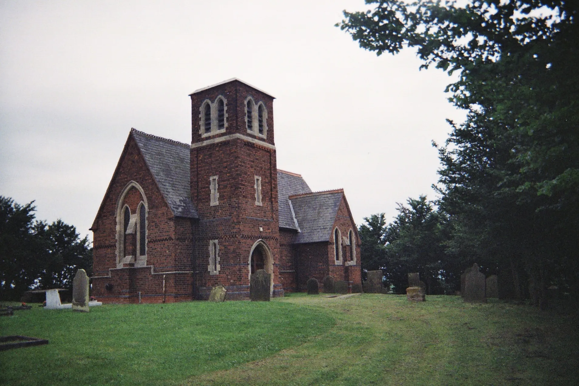
East FerryVillageEast Ferry is a hidden gem, offering breathtaking views of the Humber Estuary.
71 km
71 km
BlaxtonVillageRest and refuel in Blaxton, where you can enjoy the tranquility of the surrounding countryside.
71 km
71 km
Finish: Finningley Village centerFinningley: Pleasant cycling through rural and semi-rural landscapes.
Cycling routes nearby: