South Yorkshire Hills Road Trip
A road cycling route starting from Hoyland Nether
Embark on an exciting road trip through the South Yorkshire Hills
Map
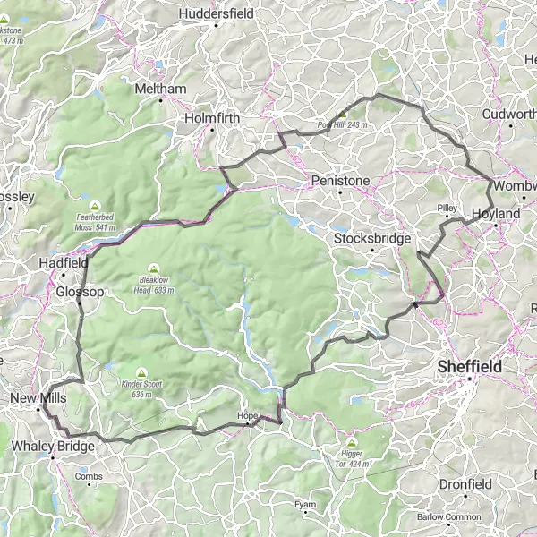
Embark on a 125 km road trip through the rolling hills of South Yorkshire. With a challenging ascent of 2180m, this route takes you through the stunning landscapes and charming villages of Hoyland, Oughtibridge, Thornhill, Mam Tor, Buxworth, Glossop, Peak Naze, Pikenaze Hill, Dunford Bridge, Pool Hill, High Hoyland, and Barnsley. Experience the region's natural beauty, rich history, and spectacular panoramic views as you traverse this challenging yet rewarding road cycling route.
road
125 km
2180 m
Savage
Route profile
Highlights on the route
0 km
0 km
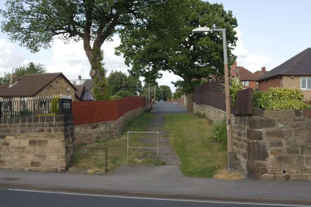
Start: Blacker Hill Village centerHoyland Nether: Hoyland Nether - A scenic cycling getaway in South Yorkshire.
Hoyland Nether, located in South Yorkshire, United Kingdom, offers a pleasant cycling experience. The locality features well-maintained roads and picturesque landscapes suitable for road and gravel cyclists. Cyclists can enjoy exploring the beautiful countryside and nearby nature reserves. While there are no famous cycling-related spots or well-known climbs in the immediate vicinity, the area still offers enjoyable riding opportunities.1 km
1 km
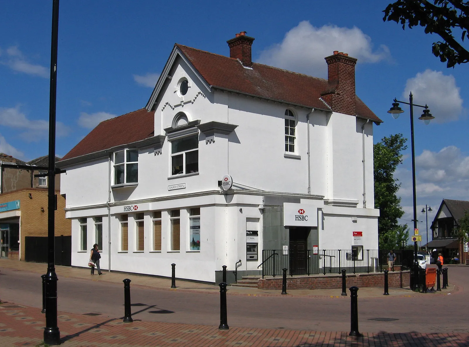
HoylandTownBegin your journey in Hoyland and immerse yourself in the village's industrial heritage and vibrant community spirit.
18 km
18 km
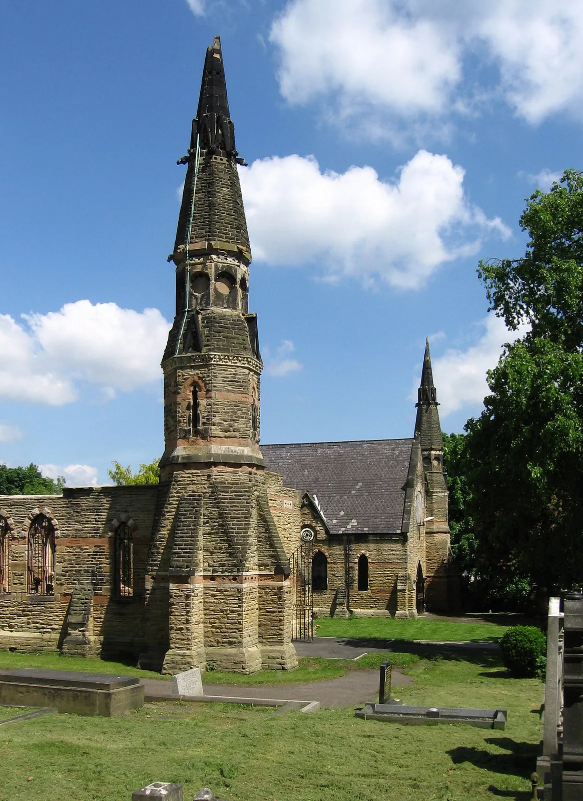
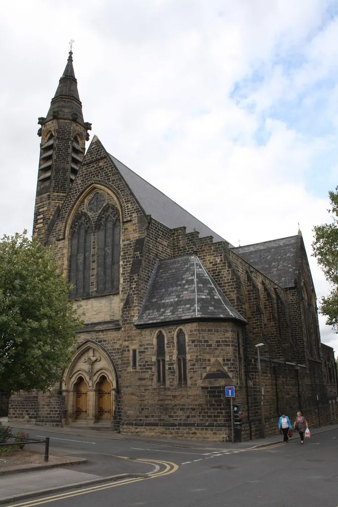
OughtibridgeVillagePass through Oughtibridge, known for its breathtaking views of River Don and its fascinating historical landmarks.
38 km
38 km
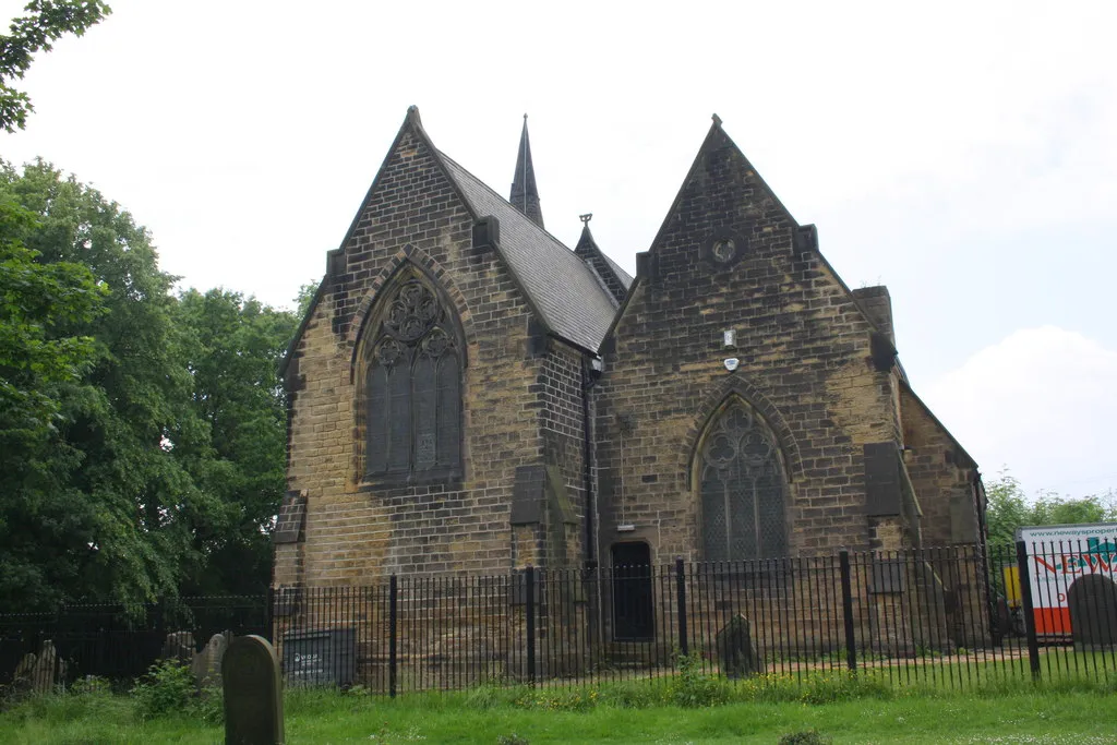
ThornhillVillageVisit Thornhill and explore the charming Thornhill Parish Church, a renowned example of medieval architecture.
46 km
46 km
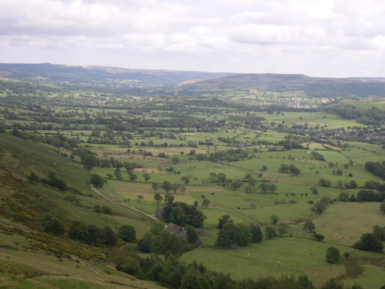
Mam Tor524 mPeakConquer the challenging ascent of Mam Tor and savor the jaw-dropping panoramic views of the Peak District National Park.
57 km
57 km
BuxworthVillageCycle through the picturesque village of Buxworth and admire its tranquil canal and quaint cottages.
73 km
73 km
GlossopTownEmbrace the charming town of Glossop, situated on the edge of the Peak District and known for its picturesque landscapes.
77 km
77 km
Peak Naze385 mPeakMarvel at Peak Naze, a breathtaking rock formation that offers incredible photo opportunities.
84 km
84 km
Pikenaze Hill371 mPeakConquer the challenging ascent of Pikenaze Hill and be rewarded with stunning views of the surrounding countryside.
91 km
91 km
Dunford BridgeHamletCross Dunford Bridge, an idyllic location nestled between rolling hills and home to a charming 19th-century inn.
107 km
107 km
Pool Hill243 mPeakVisit Pool Hill, a beloved spot among cyclists for its steep ascent and exhilarating descent.
110 km
110 km
High HoylandVillagePass through High Hoyland, a peaceful village with picturesque surroundings and a welcoming atmosphere.
119 km
119 km
BarnsleyTownExplore the vibrant town of Barnsley, known for its thriving arts scene, historic architecture, and bustling street markets.
125 km
125 km
Stone CircleViewpointEnd your journey with a visit to the captivating Stone Circle, an ancient monument shrouded in fascination and folklore.
125 km
125 km
Finish: Blacker Hill Village centerHoyland Nether: Hoyland Nether - A scenic cycling getaway in South Yorkshire.
Cycling routes from Hoyland Nether:
Cycling routes nearby: