Base yourself in scenic Penistone for Peak District cycling
Cycling routes from Penistone
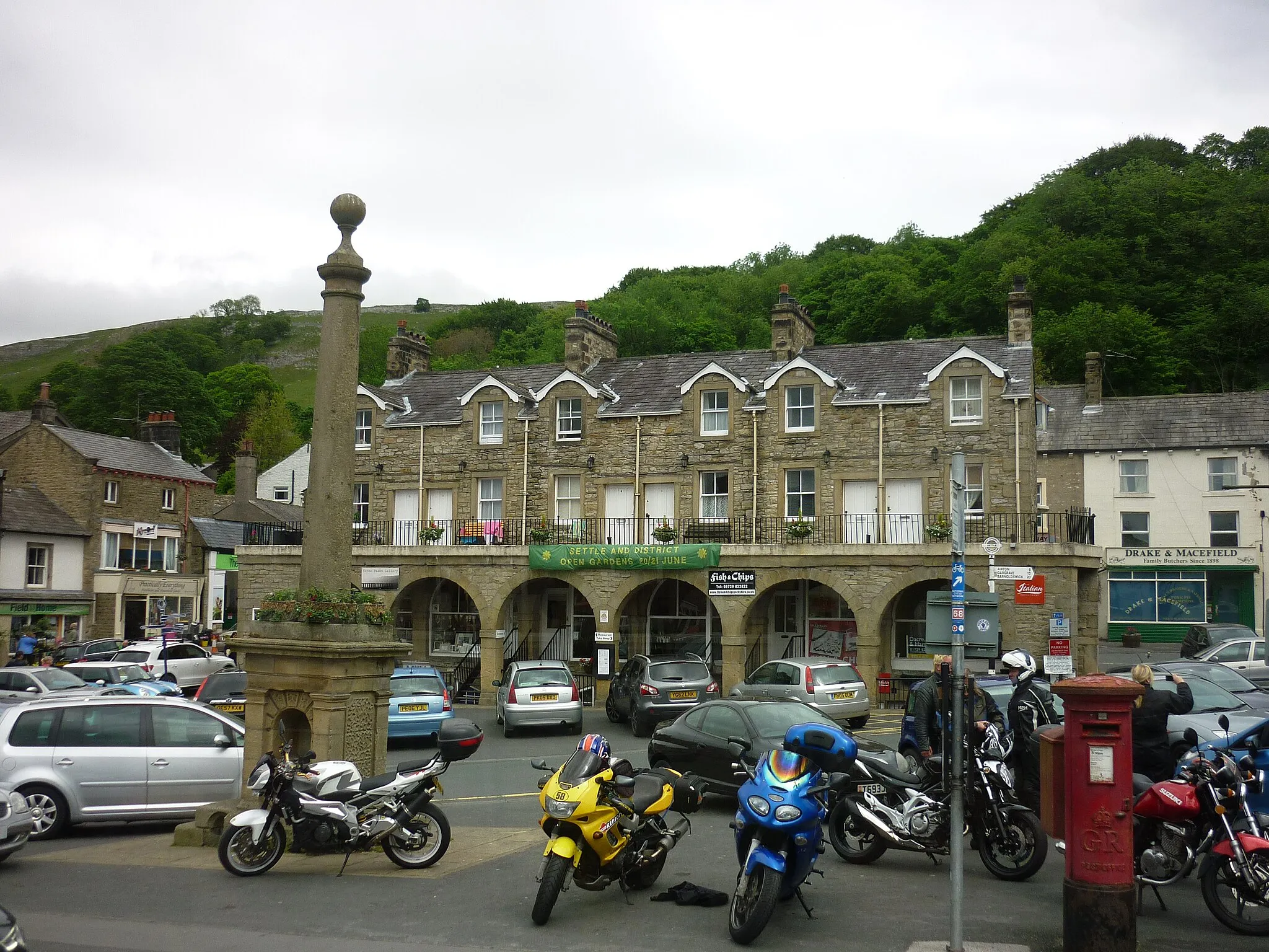
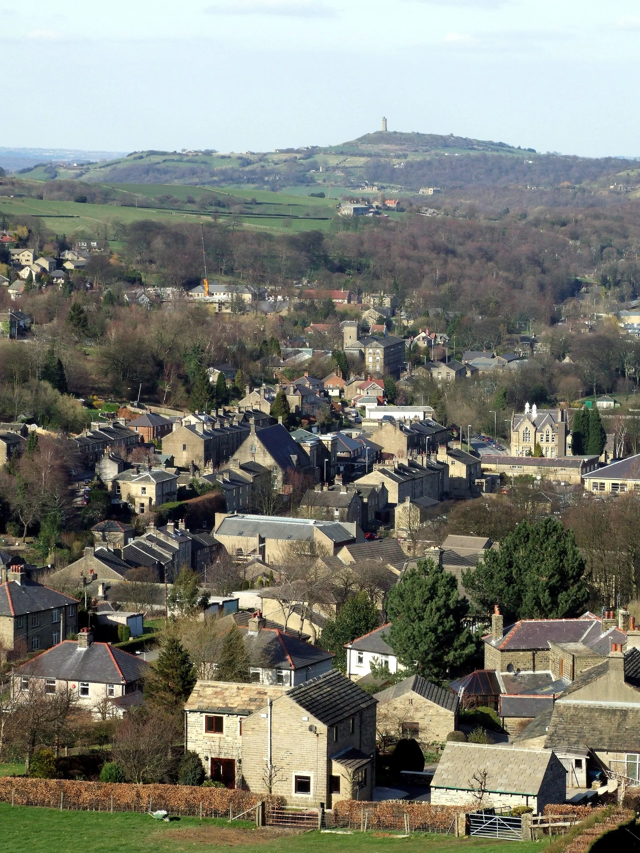
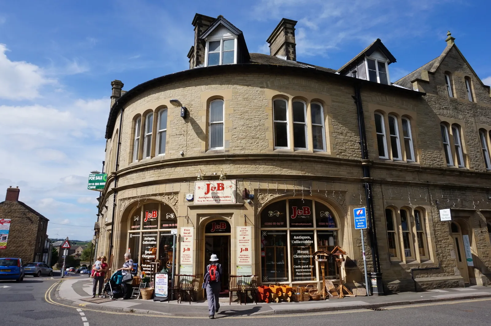
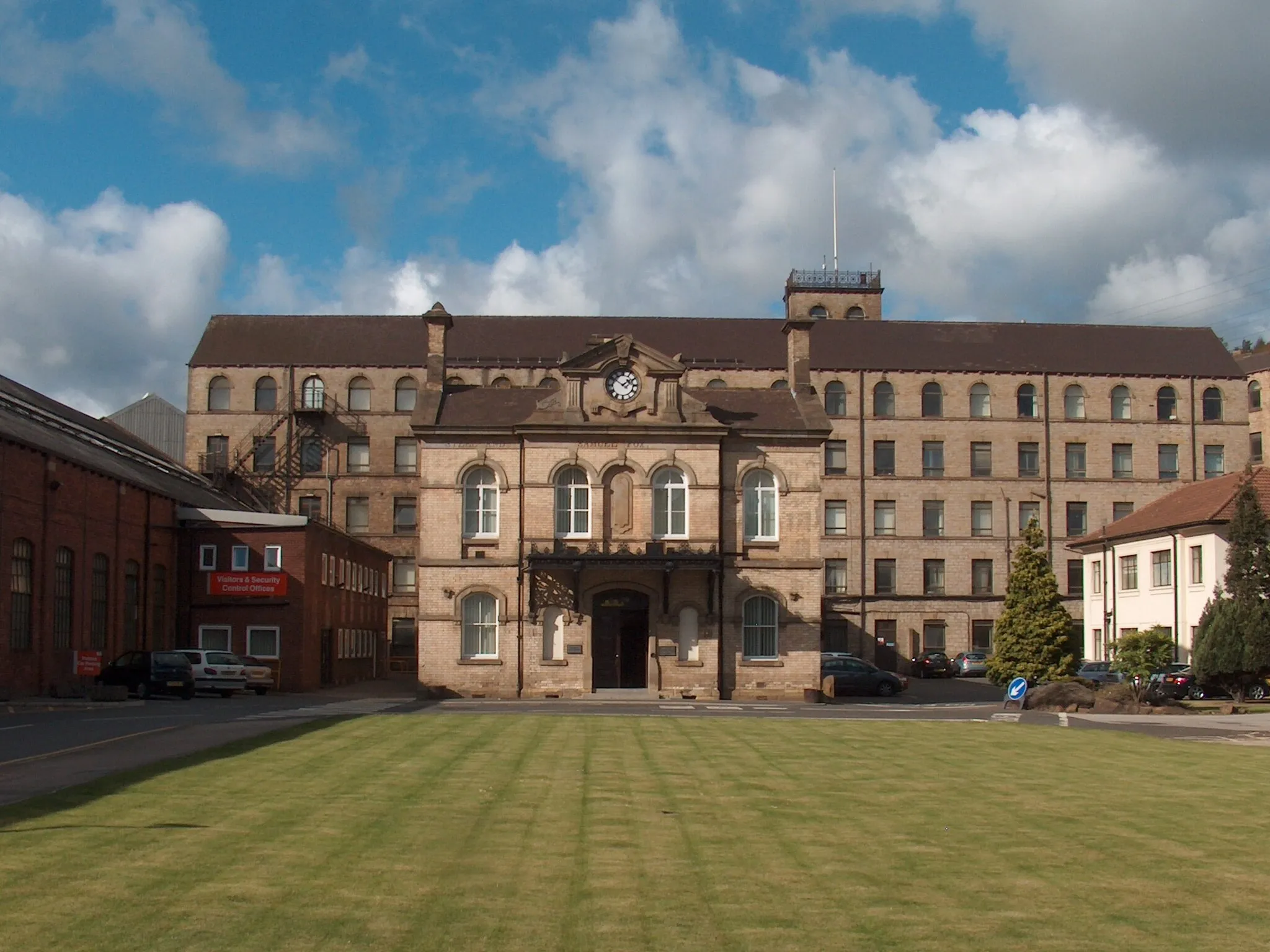
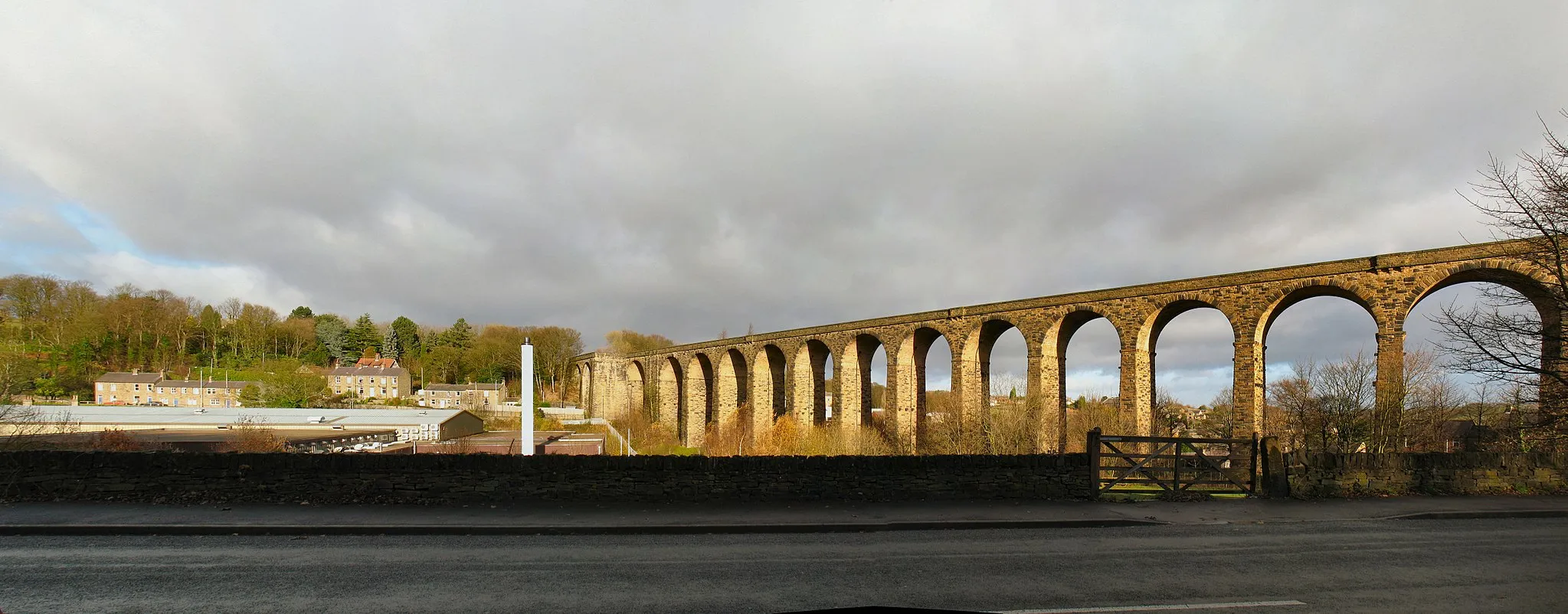
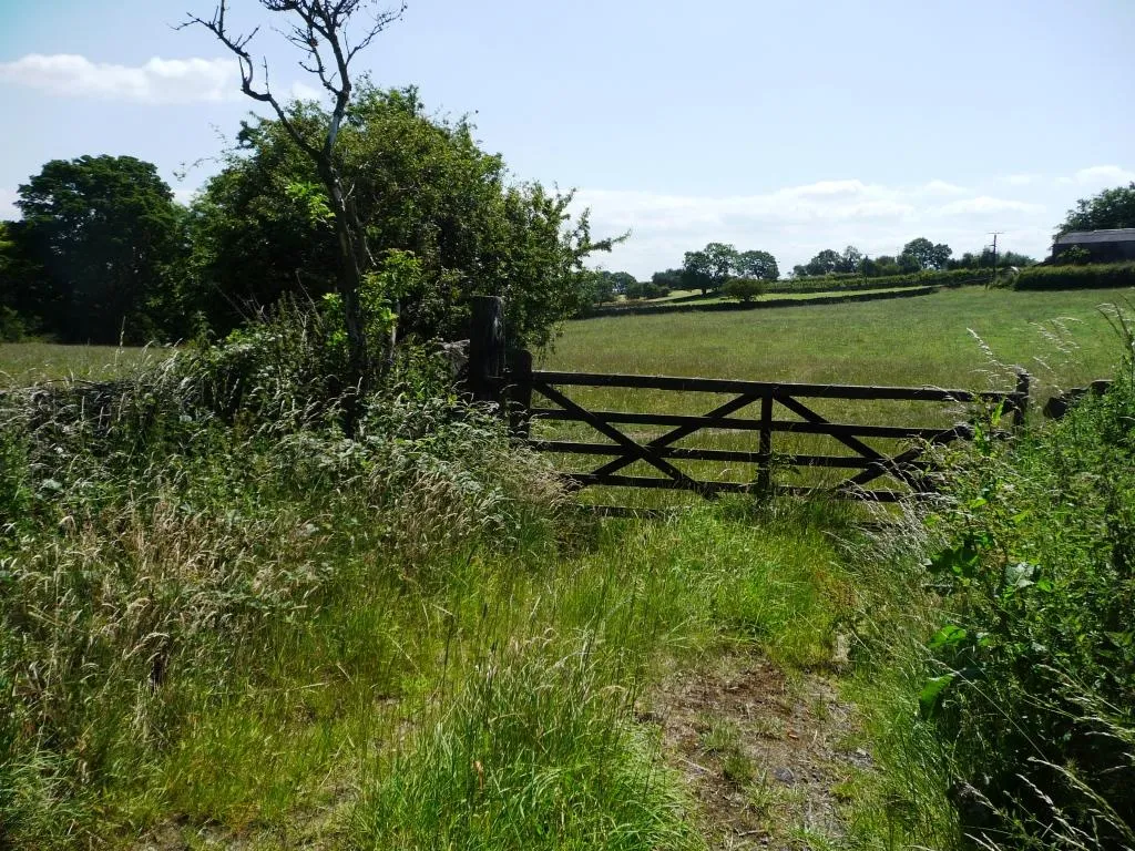
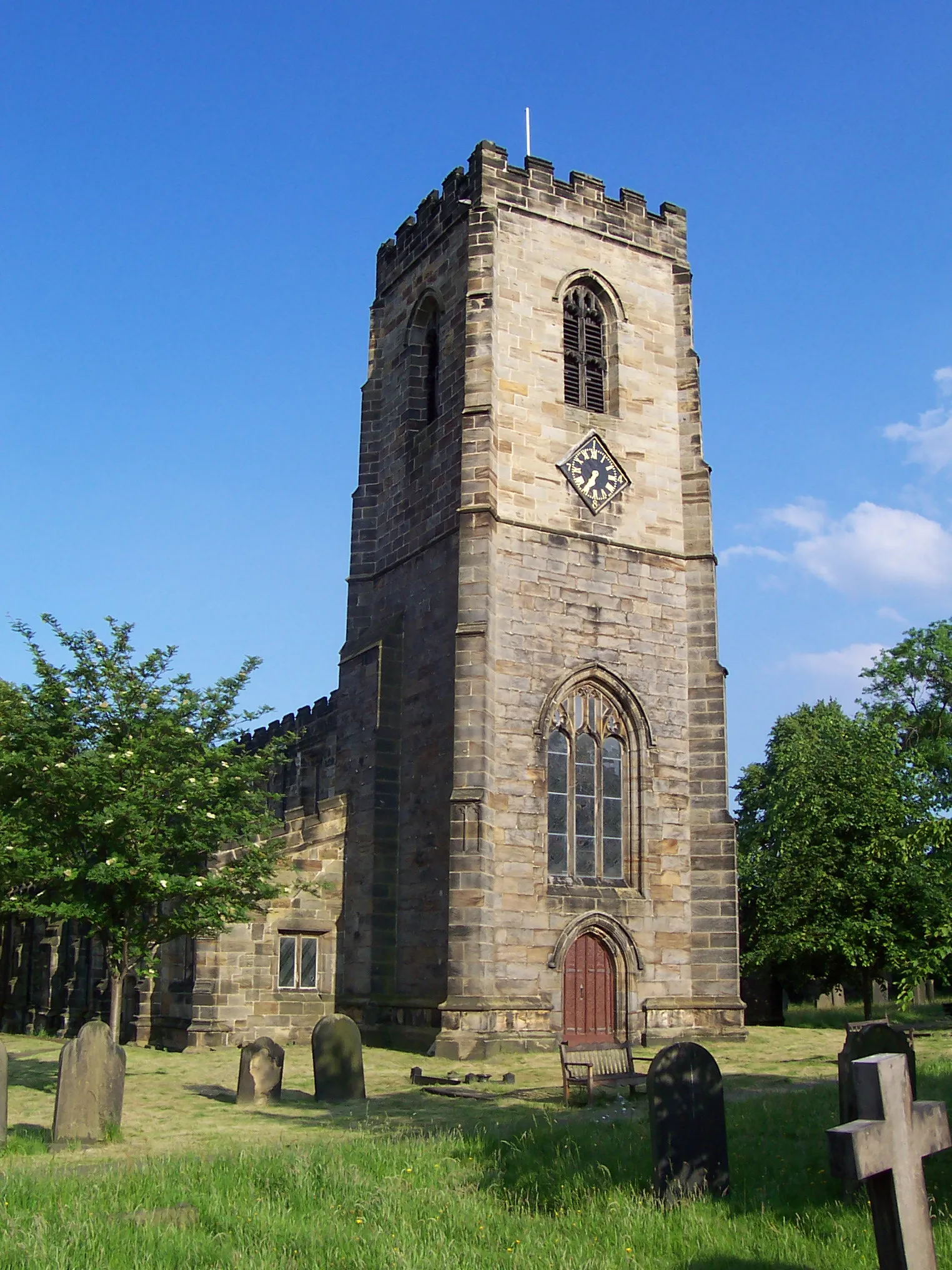
Penistone is a charming South Yorkshire locality that provides an excellent base for cycling adventures. Located amidst beautiful countryside, cyclists can explore the stunning landscapes of the Peak District National Park, where iconic climbs like Holme Moss await. Penistone Market Barn, an indoor market hall dating back to the 19th century, adds a touch of heritage to the picturesque cycling experience in the area.
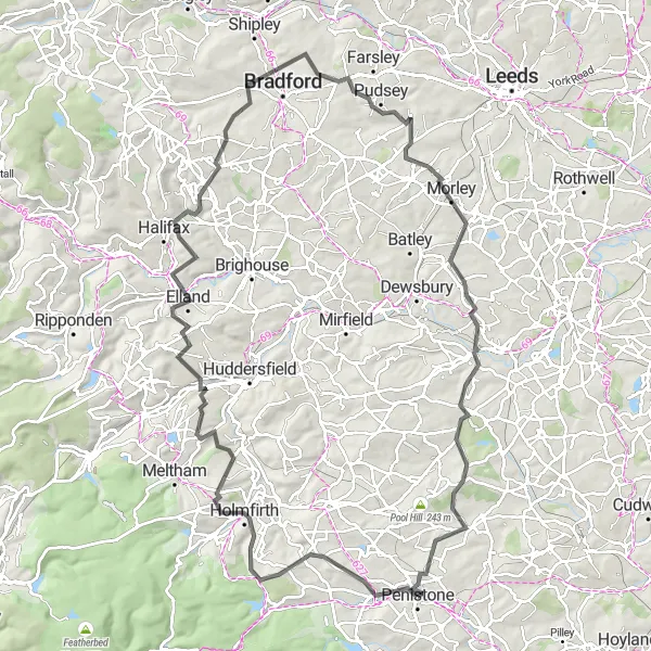
Embark on this epic road adventure through the scenic South Yorkshire countryside.
This 104 km road route starting near Penistone is a challenging and epic adventure for experienced road cyclists. With a total ascent of 1892 meters, this route offers breathtaking views and thrilling descents. Highlights include the Royd Moor Viewing Point, Holmfirth, Longwood Tower, Elland, Northowram, Pudsey, Morley, High Hoyland, and Cat Hill. Explore quaint villages, picturesque valleys, and vibrant towns as you tackle the rolling hills and experience the diverse landscape of South Yorkshire.
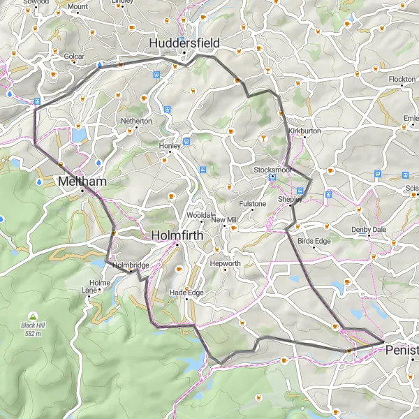
Take on this challenging road route and discover the scenic beauty of South Yorkshire.
Covering a distance of 53 km with an ascent of 981 meters, this road route starting near Penistone is perfect for experienced road cyclists looking for a challenging ride. Highlights include the iconic Dunford Bridge, Snailsden Pike End, Meltham, Longwood Tower, Shepley, and Royd Moor Viewing Point. With picturesque countryside, rolling hills, and quiet roads, this route offers a memorable cycling experience.
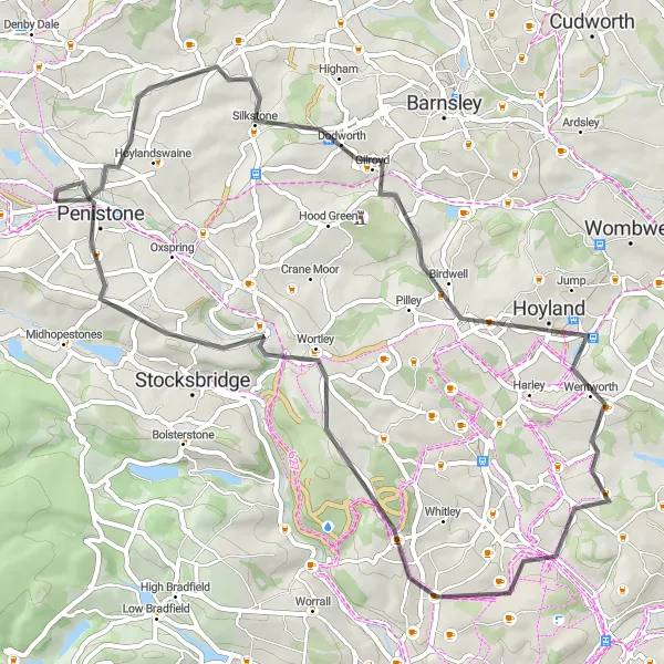
Penistone Gravel Discovery
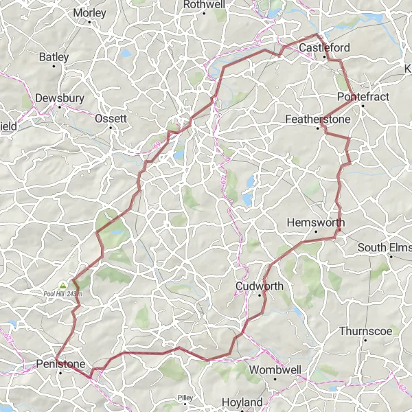
Discover the beauty of South Yorkshire's countryside on this adventurous gravel route.
Covering a distance of 85 km with an ascent of 843 meters, this gravel route starting near Penistone offers a mix of challenging terrain and picturesque landscapes. Highlights include Deffer Hill, Yorkshire Sculpture Park, Wakefield, Pontefract, Ackworth Moor Top, and Stainborough. Experience the tranquility of rural Yorkshire as you cycle through quiet lanes, bridleways, and off-road trails, surrounded by scenic beauty and cultural attractions.
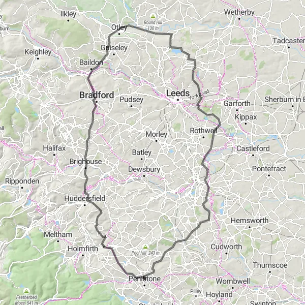
A 126 km road adventure through diverse landscapes
Embark on this 126 km road adventure through South Yorkshire's picturesque countryside. This route includes challenging climbs and a total ascent of 1553 meters, making it suitable for experienced road cyclists. Along the way, cyclists will encounter several highlights, including Millhouse Green at 3 km, the breathtaking Royd Moor Viewing Point at 3 km, and the historic town of Huddersfield at 22 km.
Penistone to Grenoside Road Loop
An exhilarating 56 km road loop with scenic views
Experience a thrilling 56 km road loop starting near Penistone. This route includes varying terrain and an ascent of 896 meters, making it suitable for moderately experienced road cyclists. Highlights along the way include Silkstone at 9 km, Hoyland at 22 km, Scholes at 29 km, Grenoside at 38 km, and the stunning view from Steel Project View Point at 48 km.
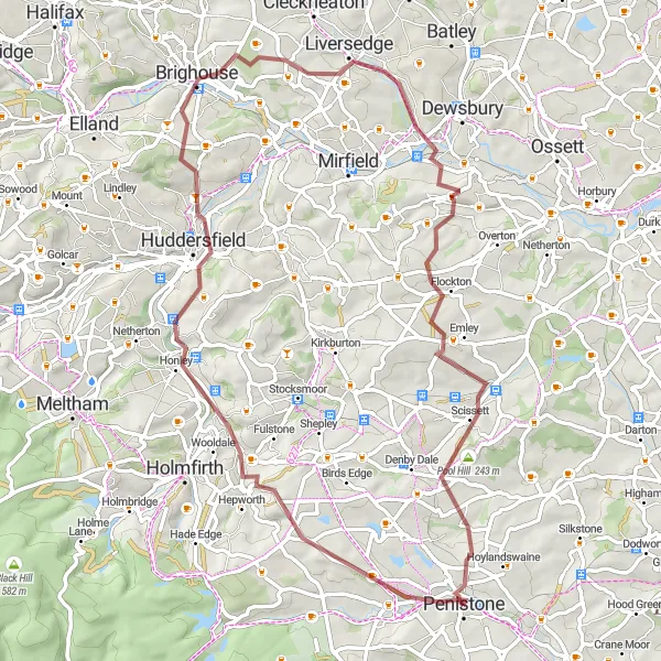
A 63 km gravel expedition through diverse landscapes
Embark on this 63 km gravel expedition that takes you through a diverse range of landscapes in South Yorkshire. With a total ascent of 1097 meters, this challenging route is suitable for experienced gravel riders. Highlights along the way include Thurlstone at 1 km, the mesmerizing Royd Moor Viewing Point at 3 km, the historic town of Huddersfield at 21 km, the picturesque Flockton at 48 km, Pool Hill at 56 km, and Bridge End at 63 km.
Penistone Pool Hill Gravel Loop
A scenic gravel loop starting near Penistone
This 61 km gravel route offers scenic countryside views and a moderate ascent of 740 meters. It is suitable for experienced gravel riders looking for a challenging yet enjoyable ride in South Yorkshire. The route encompasses various highlights along the way, including the picturesque Pool Hill at 7 km, the charming Clayton West at 10 km, and the quaint village of Flockton at 16 km.
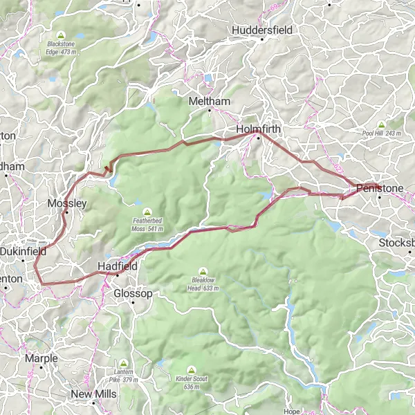
A challenging 79 km gravel ride through scenic terrain
This 79 km gravel route offers breathtaking views and a challenging ascent of 1303 meters. It is recommended for experienced gravel riders seeking a demanding but rewarding cycling experience. The route features several highlights, including Dunford Bridge at 11 km, Pikenaze Hill at 18 km, and the picturesque Holmfirth at 65 km.
Penistone Gravel Adventure
Explore the rugged beauty of South Yorkshire on this challenging gravel ride.
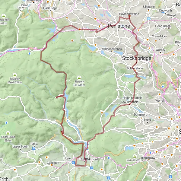
This 79 km gravel route starting near Penistone takes you through stunning moorland and picturesque villages. With a total ascent of 1746 meters, this route is suitable for experienced gravel riders looking for a challenge. Highlights include the Steel Project View Point, Stocksbridge, Thornhill, Crook Hill, Dunford Bridge, and Penistone. The route offers breathtaking views and a mix of challenging terrain, making it a perfect adventure for gravel enthusiasts.
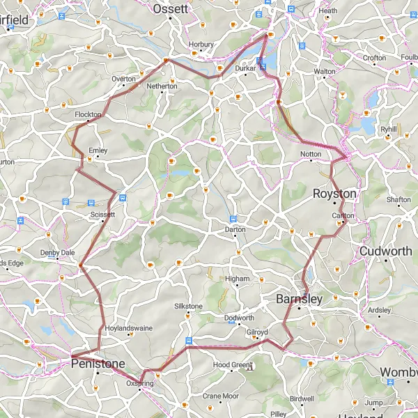
Experience the charming countryside near Penistone on this scenic road ride.
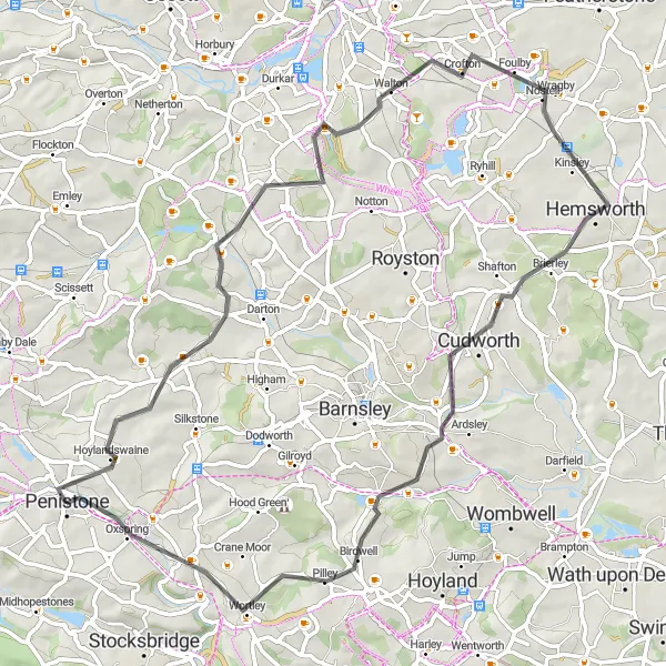
This 63 km road route starting near Penistone takes you through picturesque countryside and quaint villages. With an ascent of 846 meters, this route is suitable for intermediate road cyclists looking for a scenic ride. Highlights include Cawthorne, Woolley Edge, Hemsworth, Cudworth, and Oxspring. Enjoy gentle rolling hills, peaceful country lanes, and stunning views as you explore the hidden gems of South Yorkshire.
Cycling routes nearby:
Nearby regions: