Embrace cycling through scenic South Yorkshire
Cycling routes from Silkstone
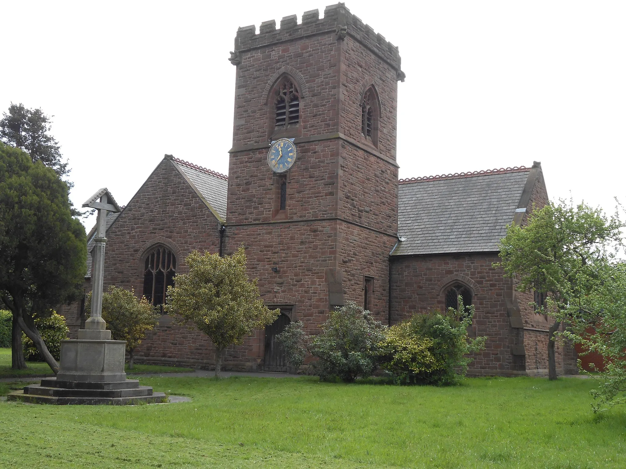
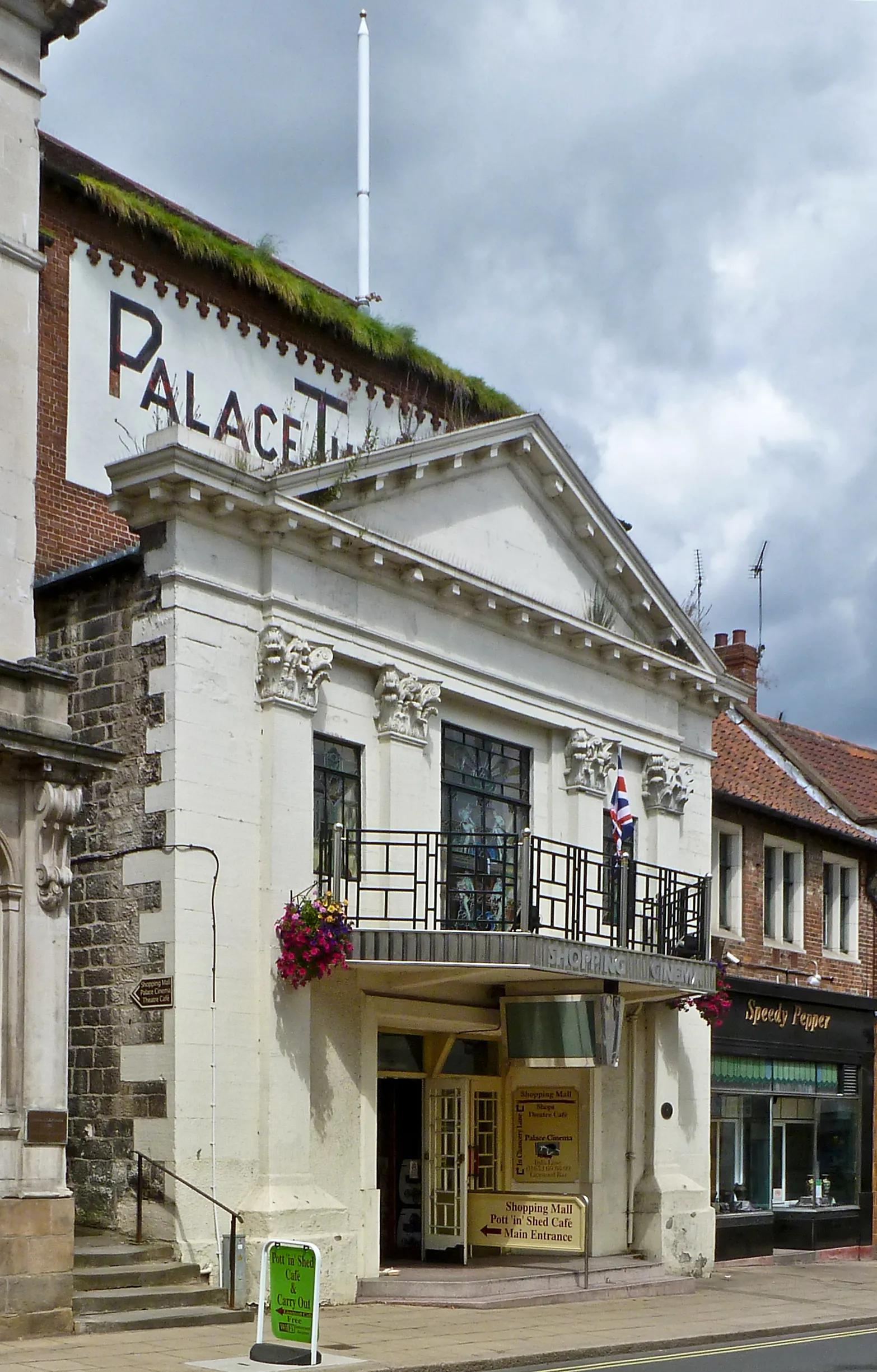
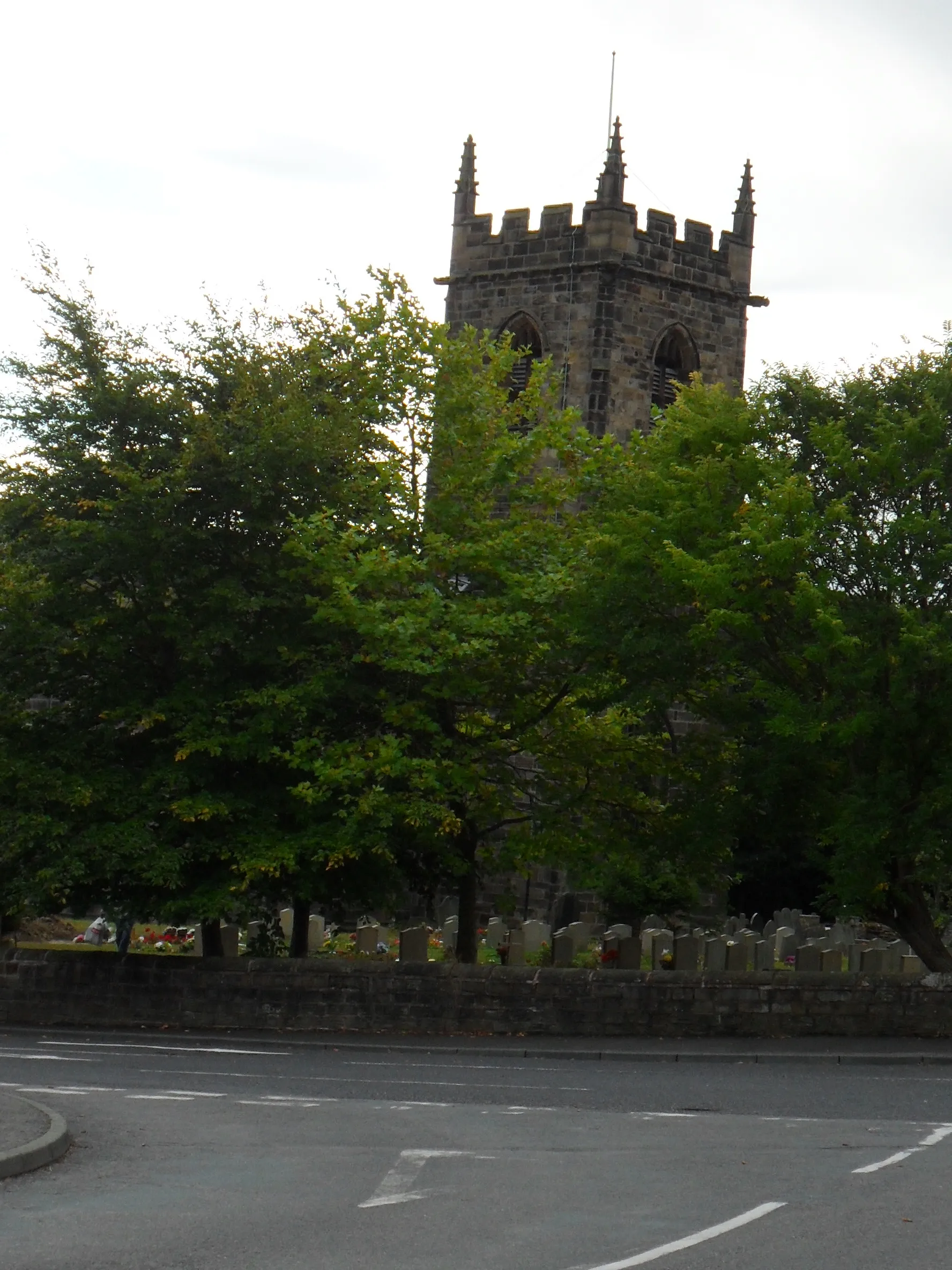
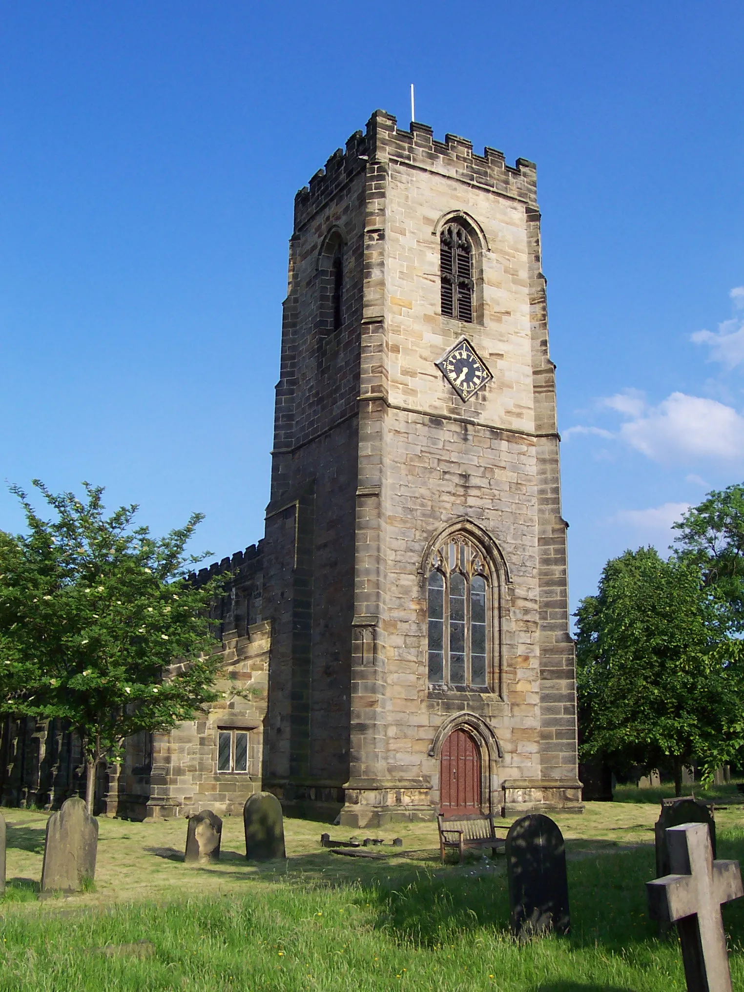
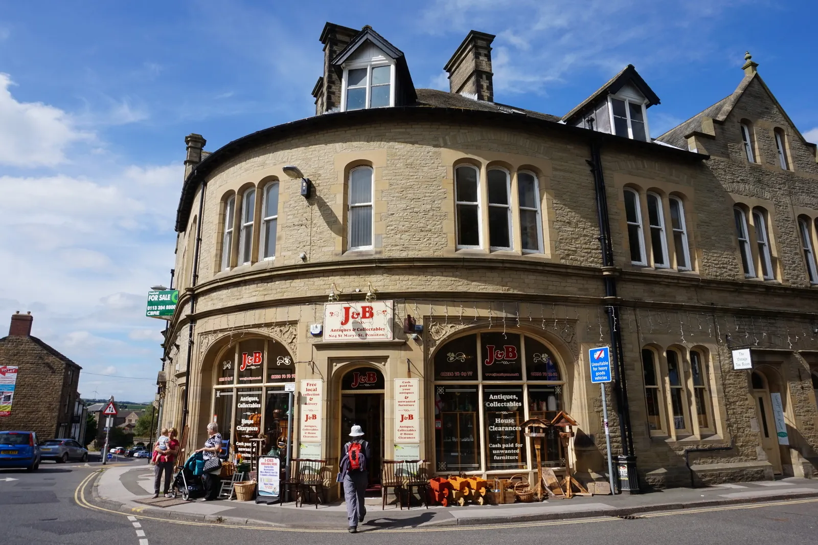
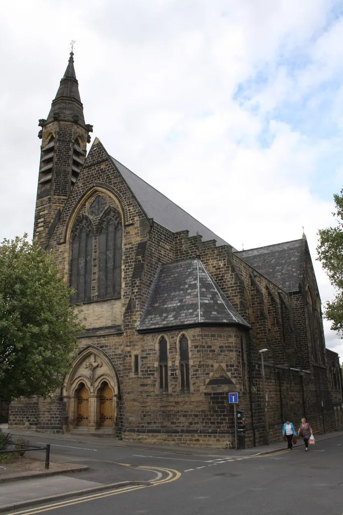
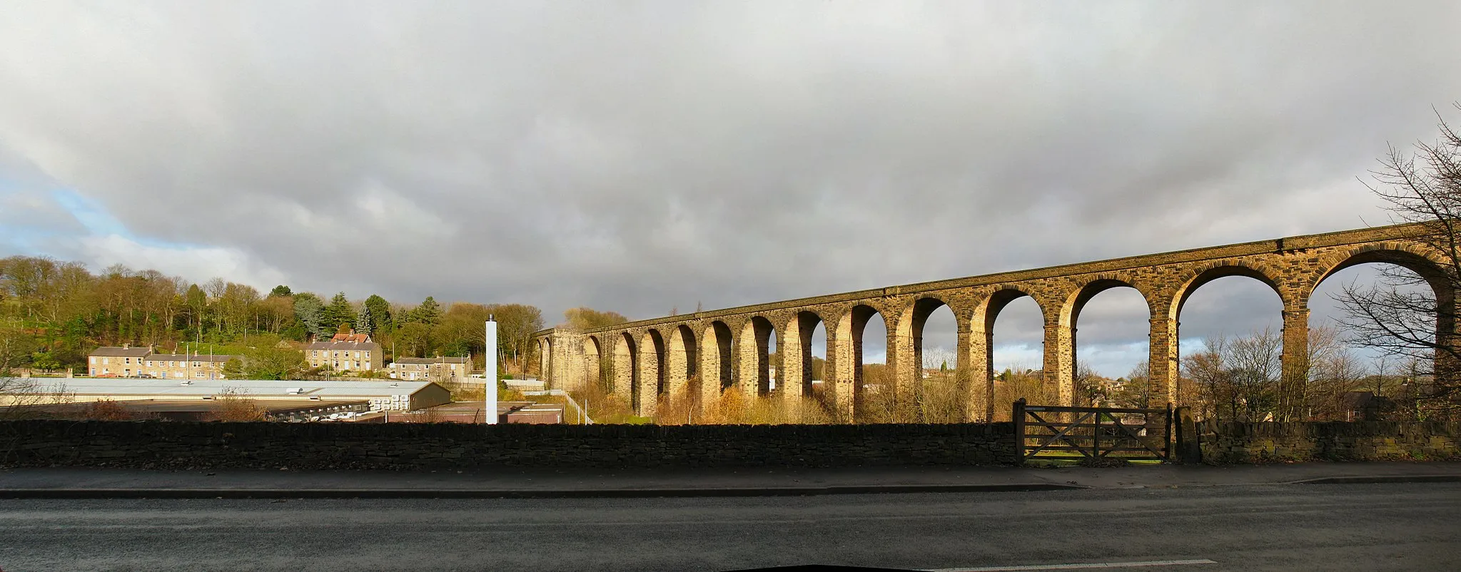
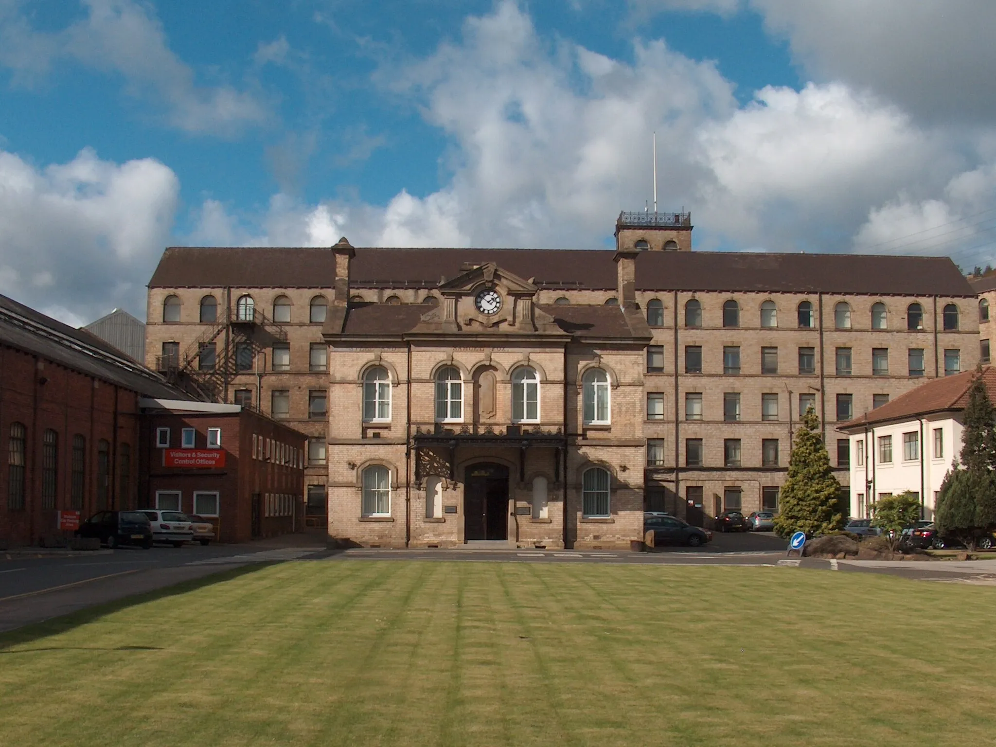
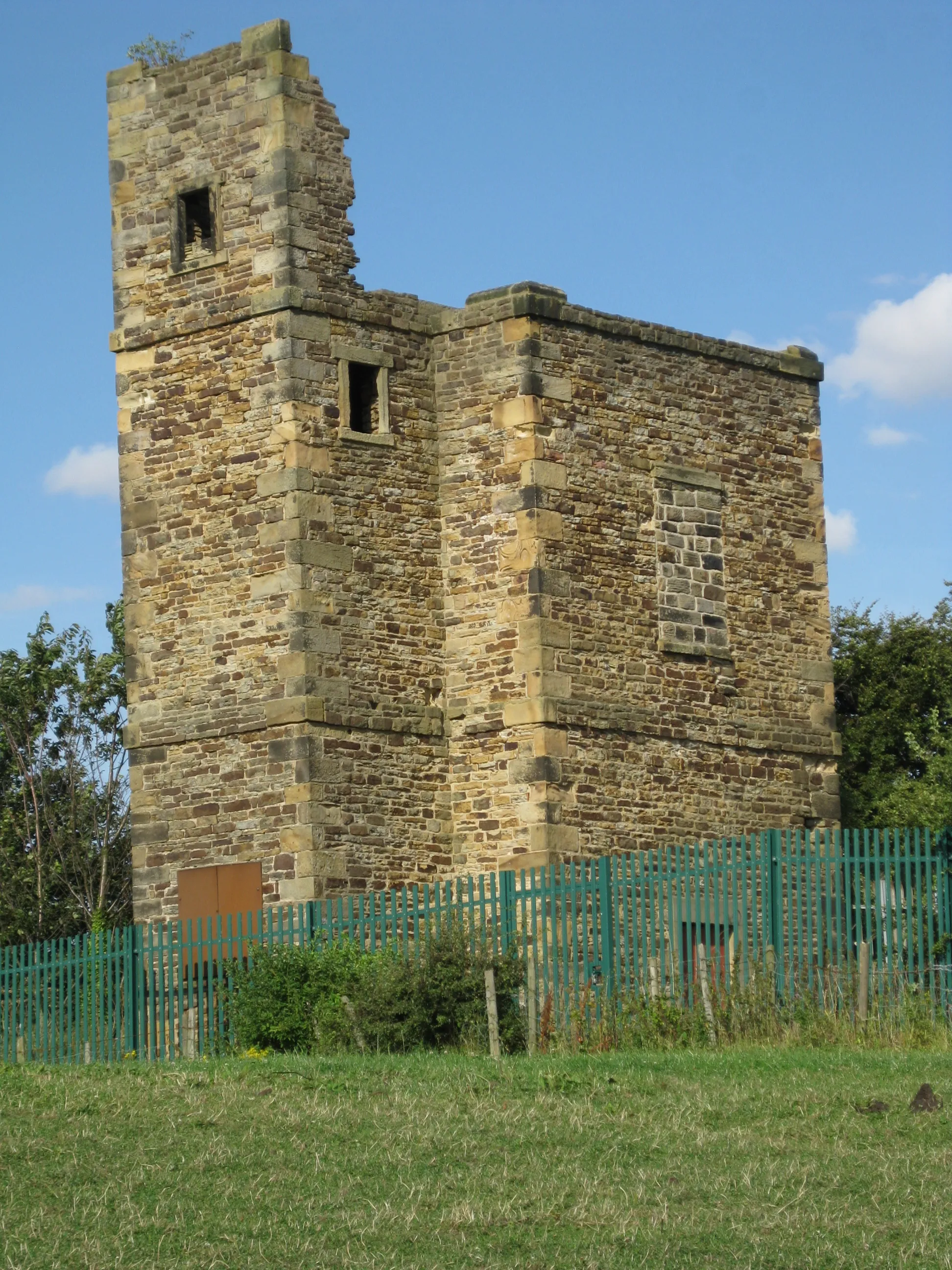
Silkstone is a locality situated in South Yorkshire, United Kingdom. The area offers a range of cycling experiences, including road and gravel rides through picturesque scenery and charming villages. Nearby you'll find the renowned Pennine trails, offering challenging rides for experienced cyclists. Silkstone itself boasts historical landmarks like the Silkstone Parish Church, providing a glimpse into the area's rich heritage.
Penistone to Silkstone Common
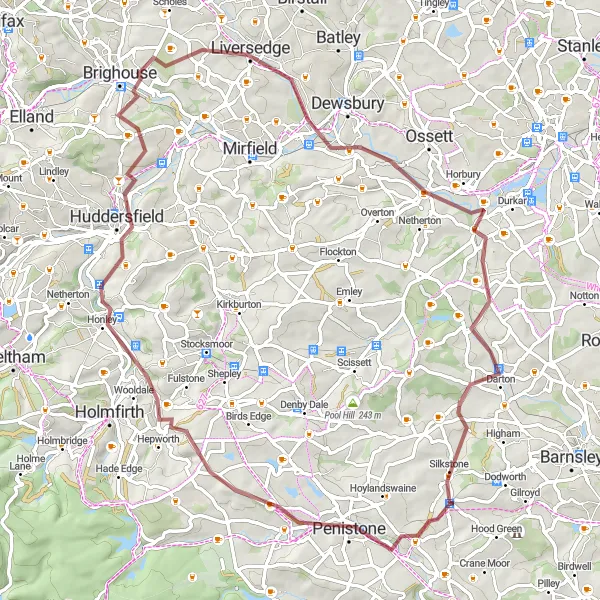
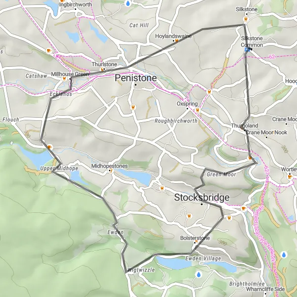
Challenging gravel cycling route between Penistone and Silkstone Common
Take on the challenge of this demanding gravel cycling route, covering a distance of 72 kilometers with a total ascent of 940 meters. As you cycle from Penistone to Silkstone Common, you'll experience a mix of challenging climbs and fast descents, surrounded by beautiful countryside. This route is recommended for experienced riders looking for a thrilling adventure.
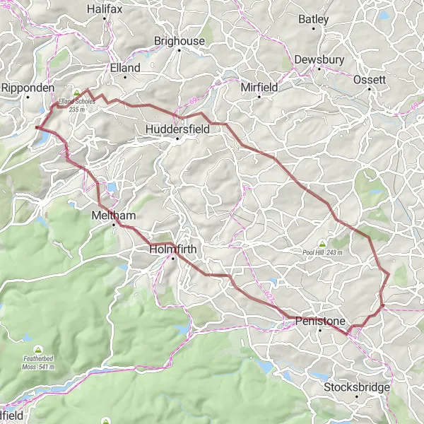
Silkstone to Stone Circle
Scenic gravel cycling route from Silkstone to Stone Circle
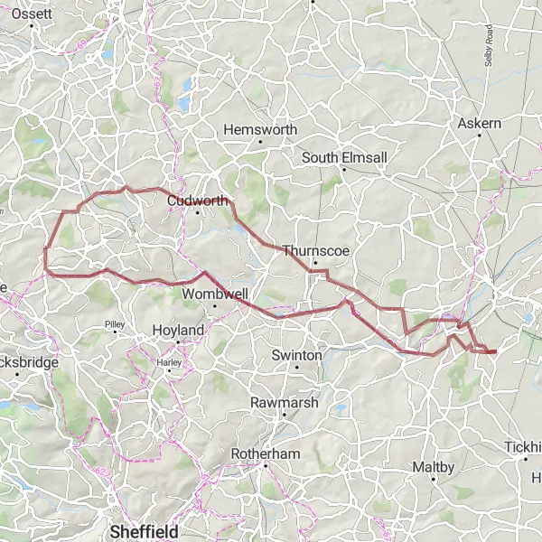
Discover the beauty of South Yorkshire with this scenic gravel cycling route from Silkstone to Stone Circle. Spanning a total distance of 90 kilometers and ascending 660 meters, this route offers a mix of peaceful countryside roads and exhilarating woodland trails. The diverse scenery and challenging terrain make it an excellent choice for experienced gravel riders.
Epic gravel cycling route from Penistone to Cawthorne
Embark on this epic gravel cycling route from Penistone to Cawthorne, covering a total distance of 74 kilometers and ascending 1586 meters. This challenging route traverses rugged terrain and offers breathtaking views of rolling hills, lush forests, and picturesque villages. Suitable for experienced riders seeking an adrenaline-pumping adventure in the heart of South Yorkshire.
Thurgoland to Silkstone
Scenic road cycling route through Thurgoland and Silkstone
This road cycling route takes you through the picturesque villages of Thurgoland and Silkstone, offering stunning views along the way. With a total ascent of 838 meters and a distance of 35 kilometers, it provides a challenging yet rewarding ride. The route is suitable for well-trained amateurs who enjoy a mix of flat sections and gradual climbs.
Darton to Woolley Edge
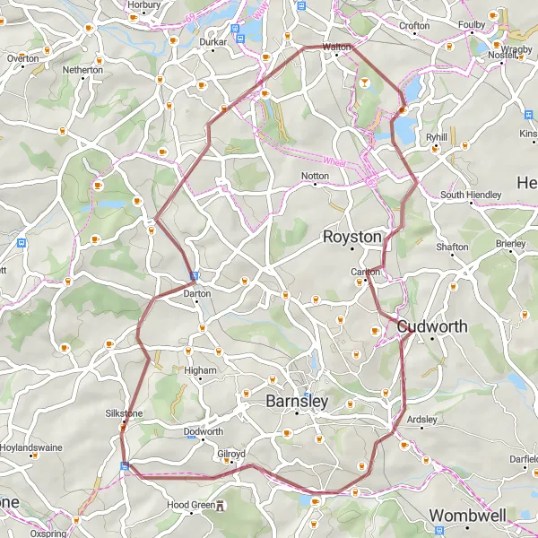
Scenic gravel cycling route from Darton to Woolley Edge
This gravel cycling route takes you from Darton to Woolley Edge, offering a mix of serene countryside and woodland trails. With an ascent of 486 meters and a distance of 44 kilometers, it provides a moderate challenge for gravel enthusiasts. The route is suitable for experienced riders who enjoy off-road adventures.
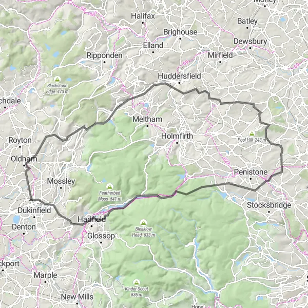
Challenge your cycling abilities with this epic road loop encompassing Oxspring and the iconic Standedge.
Spanning a distance of 104 km and featuring an elevation gain of 1782 meters, this challenging road loop is designed for experienced cyclists seeking an exhilarating adventure. Highlights of the route include the stunning landscapes of Oxspring and the breathtaking ascent of Standedge. Along the way, you'll also pass by notable landmarks such as Oldham and Castle Hill. With its combination of picturesque scenery and thrilling climbs, this road loop is perfect for cyclists craving an epic journey.
Indulge in the scenic beauty of South Yorkshire on this road tour from Silkstone to Chapeltown.
This 87 km road tour offers a breathtaking journey through the scenic South Yorkshire countryside. With an ascent of 1092 meters, it is a challenging route that rewards cyclists with stunning vistas along the way. Highlights include the picturesque village of Silkstone, the historic Conisbrough Castle, and the charming town of Chapeltown. Overall, this road tour combines natural beauty, history, and local charm to create an unforgettable cycling experience.
Experience the mystical allure of Stone Circle and discover the charming village of Barnburgh on this gravel loop.
This 76 km gravel route takes you through the scenic South Yorkshire countryside. With a total ascent of 533 meters, it offers a challenging yet rewarding ride for adventurous cyclists. The route is highlighted by its distinctive Stone Circle and the historic village of Barnburgh, where you can immerse yourself in local culture and history. Overall, this route provides a unique and exciting gravel cycling experience.
Embark on a captivating road excursion to explore the cultural treasures of Yorkshire Sculpture Park and Worsbrough.
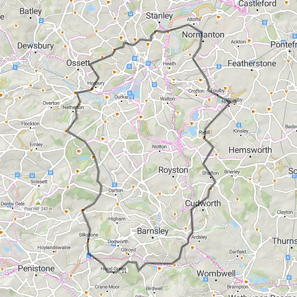
Covering 67 km and with an elevation gain of 771 meters, this road excursion takes you on a discovery of Yorkshire's cultural gems. Highlighting the famous Yorkshire Sculpture Park and the charming village of Worsbrough, the route offers a blend of art and scenic beauty. Along the way, you'll pass through Horbury and Normanton, further enriching your journey with historical landmarks and picturesque landscapes. Whether you're an art enthusiast or simply enjoy exploring new destinations, this road excursion provides a captivating experience.

Embark on a captivating road journey exploring the scenic delights of Cawthorne and Woolley Edge.
With a distance of 58 km and an elevation gain of 644 meters, this road circuit offers a moderately challenging ride through picturesque landscapes. The route showcases the beautiful village of Cawthorne and the stunning Woolley Edge, making it a visually appealing cycling experience. Whether you're a beginner or an experienced road cyclist, this route provides a memorable journey filled with captivating sights.
Cycling routes nearby:
Nearby regions: