Challenging Road Loop via Oxspring and Standedge
A road cycling route starting from Silkstone
Challenge your cycling abilities with this epic road loop encompassing Oxspring and the iconic Standedge.
Map
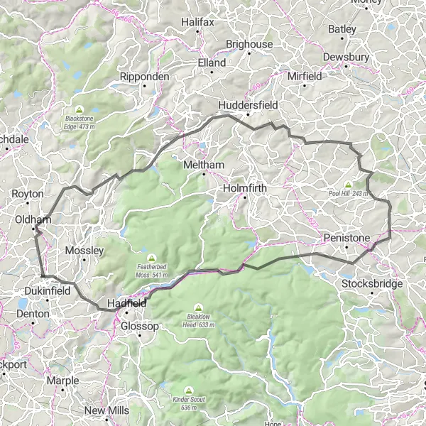
Spanning a distance of 104 km and featuring an elevation gain of 1782 meters, this challenging road loop is designed for experienced cyclists seeking an exhilarating adventure. Highlights of the route include the stunning landscapes of Oxspring and the breathtaking ascent of Standedge. Along the way, you'll also pass by notable landmarks such as Oldham and Castle Hill. With its combination of picturesque scenery and thrilling climbs, this road loop is perfect for cyclists craving an epic journey.
road
104 km
1782 m
Savage
Route profile
Highlights on the route
0 km
0 km
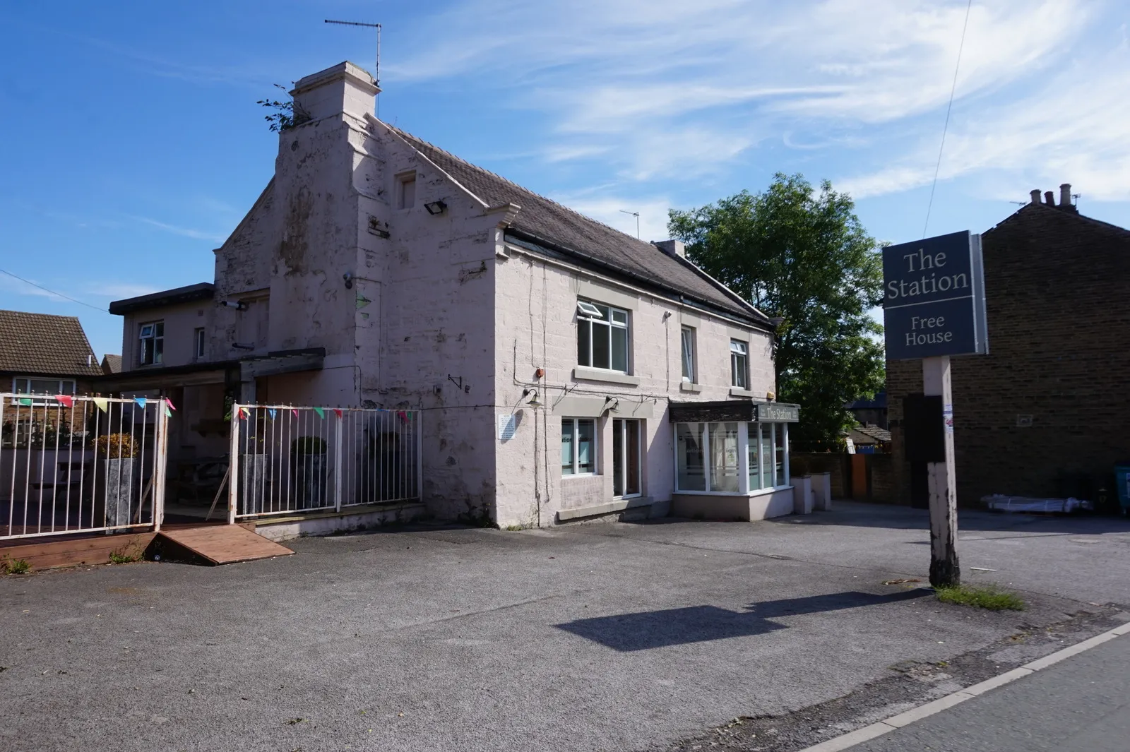
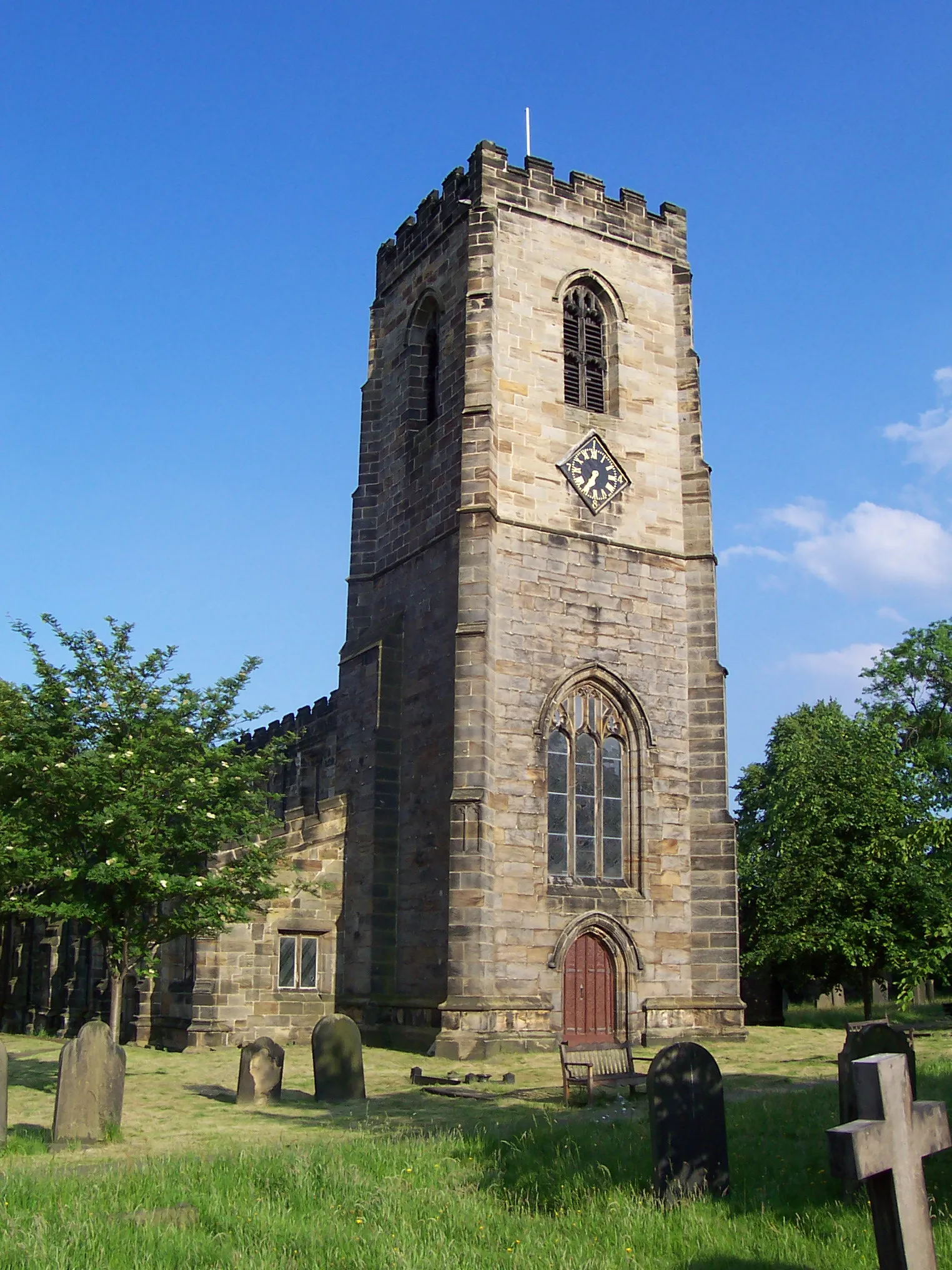
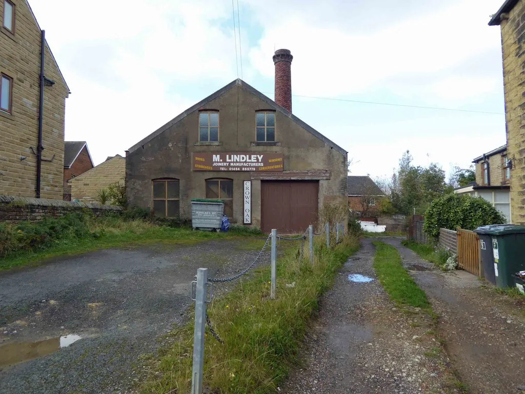
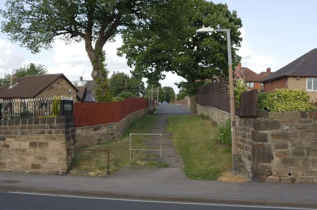
Start: Silkstone Village centerSilkstone: Embrace cycling through scenic South Yorkshire
Silkstone is a locality situated in South Yorkshire, United Kingdom. The area offers a range of cycling experiences, including road and gravel rides through picturesque scenery and charming villages. Nearby you'll find the renowned Pennine trails, offering challenging rides for experienced cyclists. Silkstone itself boasts historical landmarks like the Silkstone Parish Church, providing a glimpse into the area's rich heritage.5 km
5 km
OxspringVillageOxspring offers scenic countryside views and peaceful surroundings.
24 km
24 km
Pikenaze Hill371 mPeakPikenaze Hill presents a challenging ascent with panoramic views.
27 km
27 km
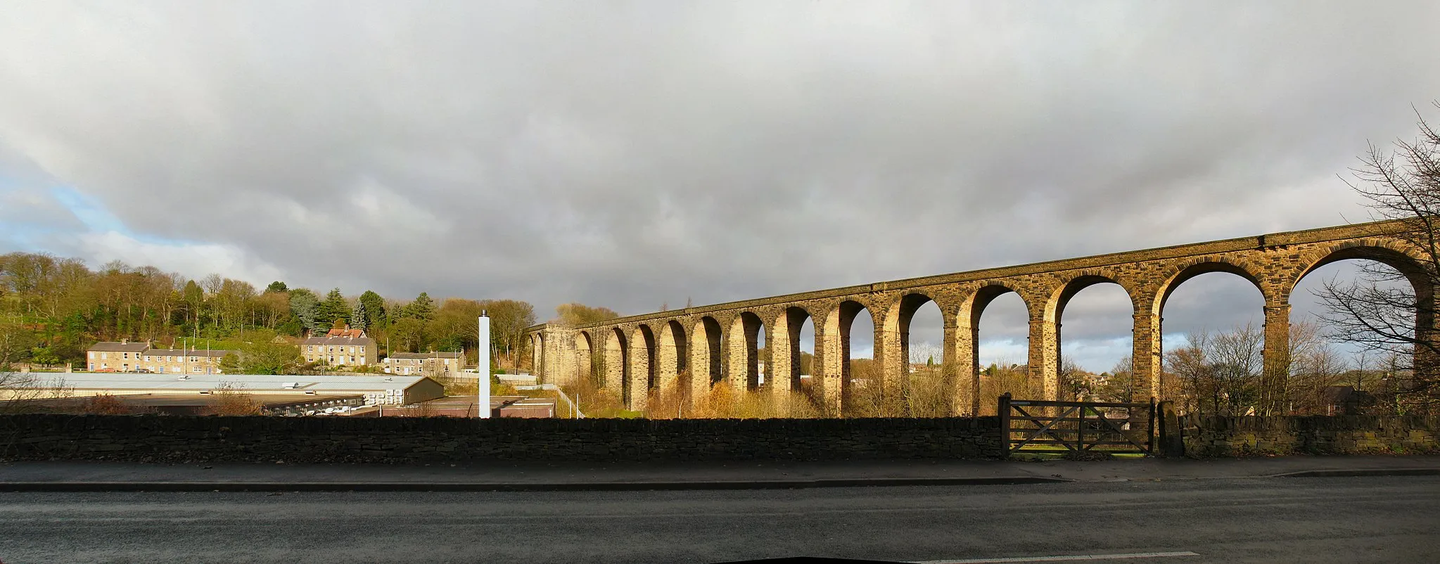
CrowdenHamletCrowden is nestled in the Peak District National Park, offering unmatched natural beauty.
51 km
51 km
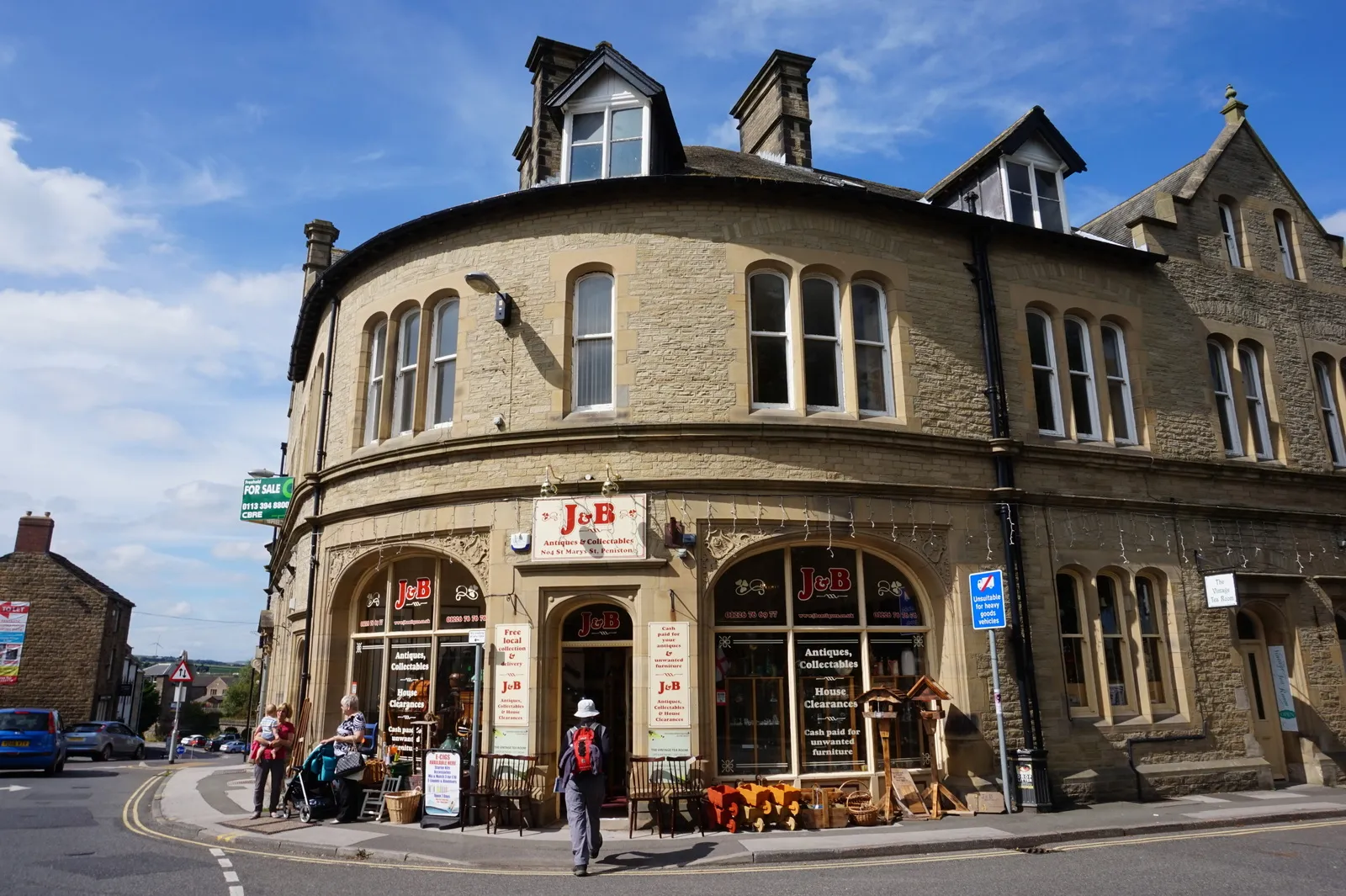
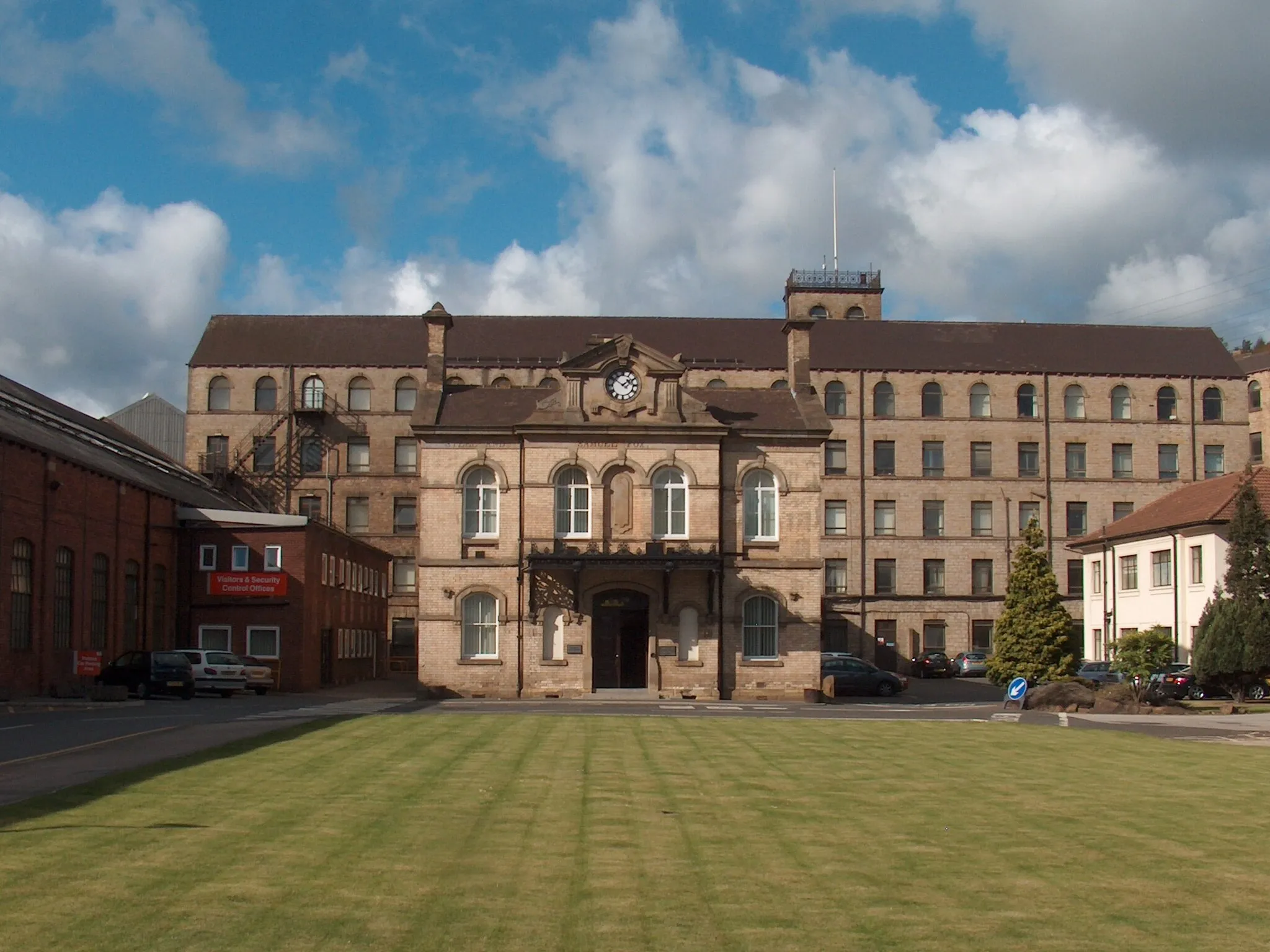
OldhamTownOldham is a thriving town renowned for its rich industrial heritage.
59 km
59 km
DelphVillageDelph sits amongst picturesque scenery and retains its historic charm.
63 km
63 km
Standedge457 mPeakStandedge is home to one of the longest and highest canal tunnels in England.
81 km
81 km
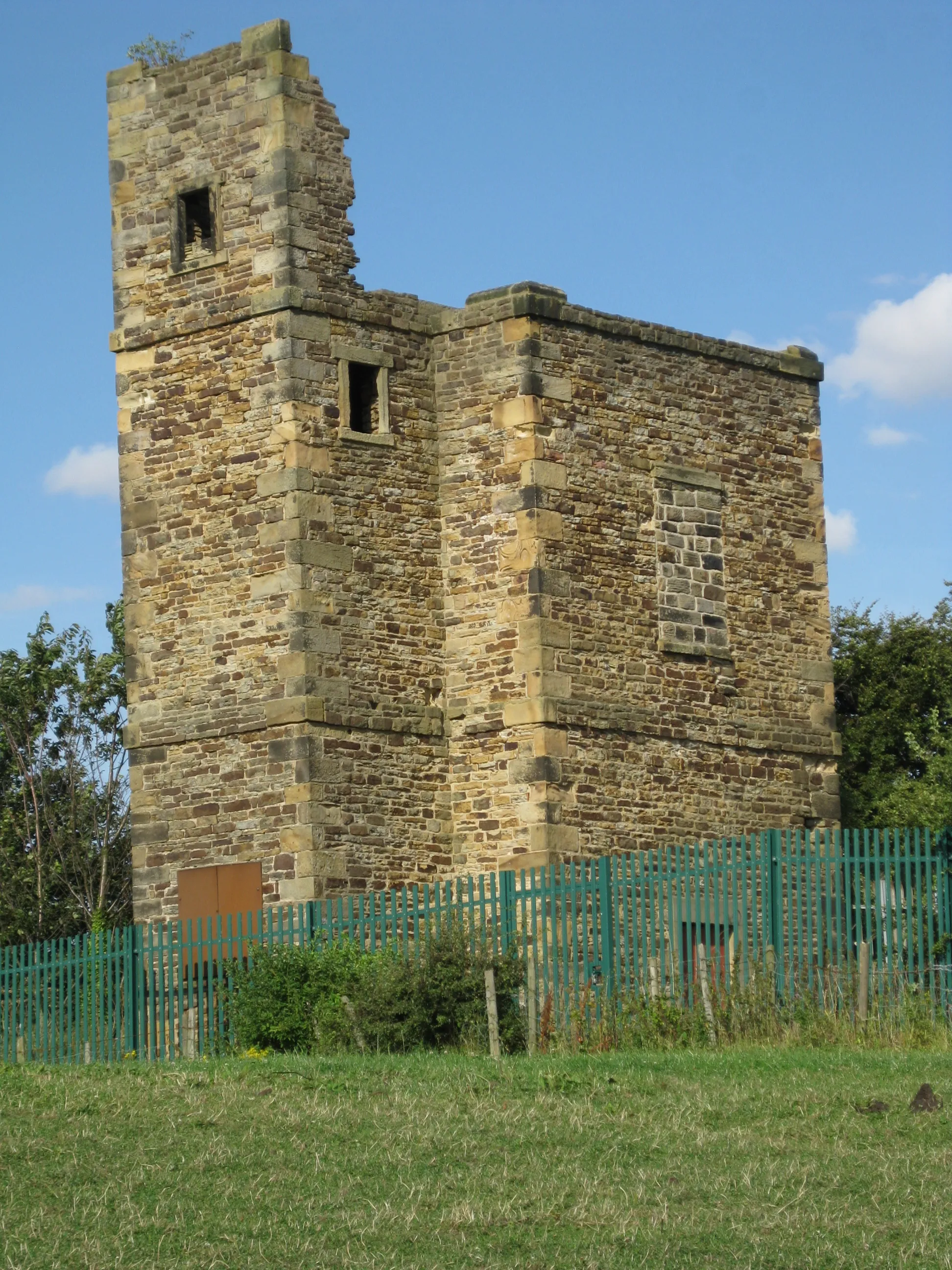
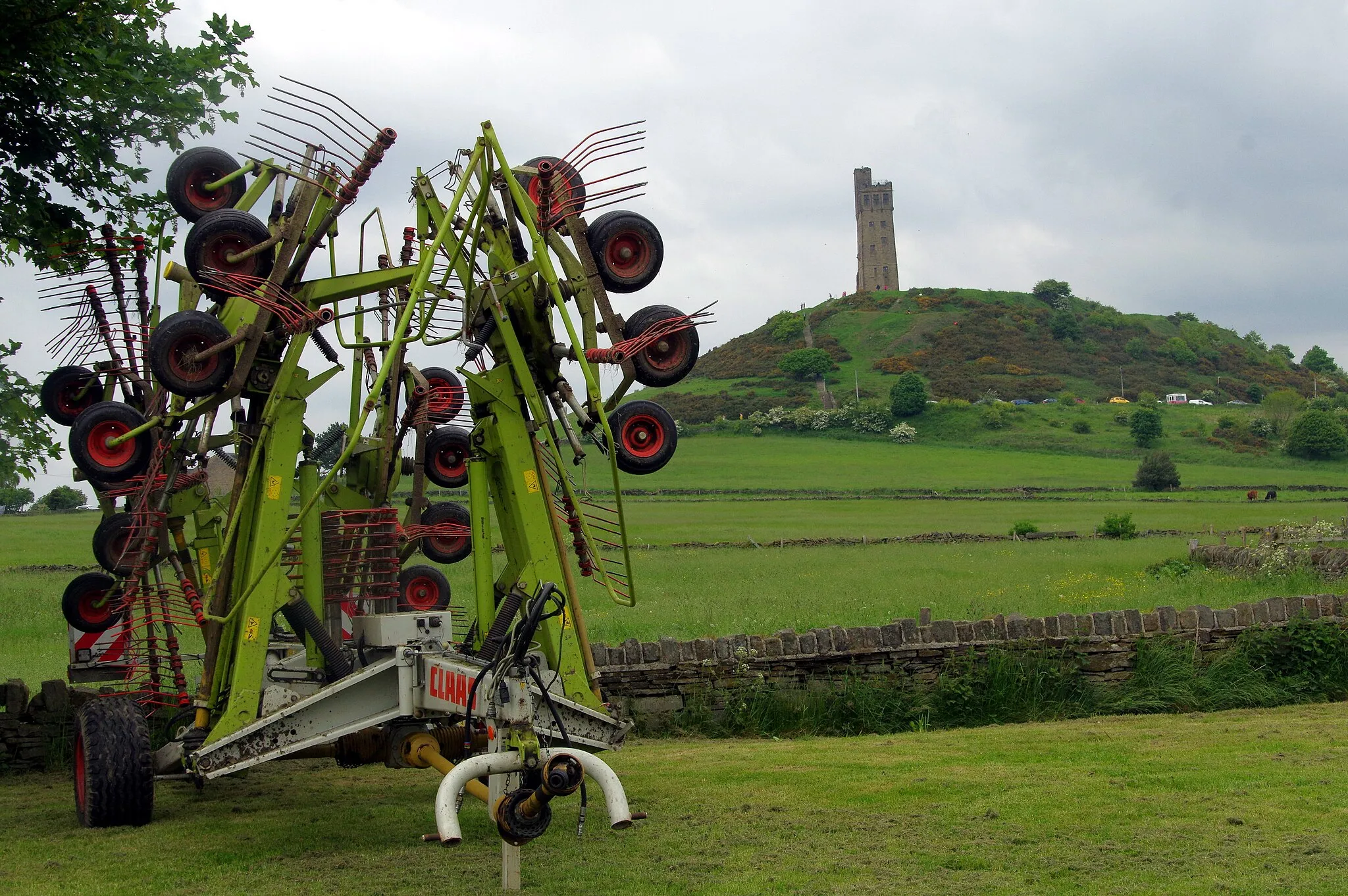
Castle HillViewpointCastle Hill offers panoramic views and is steeped in history.
88 km
88 km
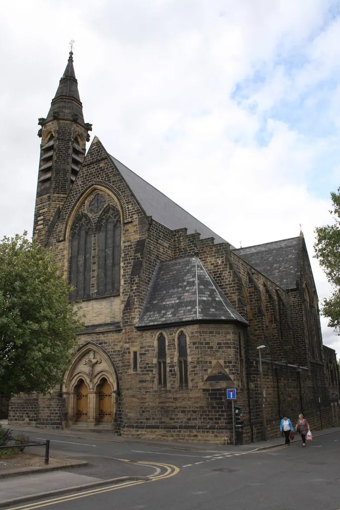
KirkburtonVillageKirkburton is a vibrant village that exudes a warm and welcoming atmosphere.
104 km
104 km
SilkstoneVillageSilkstone is a beautiful village with a rich historical heritage.
104 km
104 km
Finish: Silkstone Village centerSilkstone: Embrace cycling through scenic South Yorkshire
Cycling routes from Silkstone:
Road Circuit via Cawthorne and Woolley Edge Gravel Loop via Stone Circle and Barnburgh Challenging Road Loop via Oxspring and Standedge Thurgoland to Silkstone Penistone to Silkstone Common Scenic Road Tour from Silkstone to Chapeltown Darton to Woolley Edge Penistone to Cawthorne Road Excursion to Yorkshire Sculpture Park and Worsbrough Silkstone to Stone Circle
Cycling routes nearby: