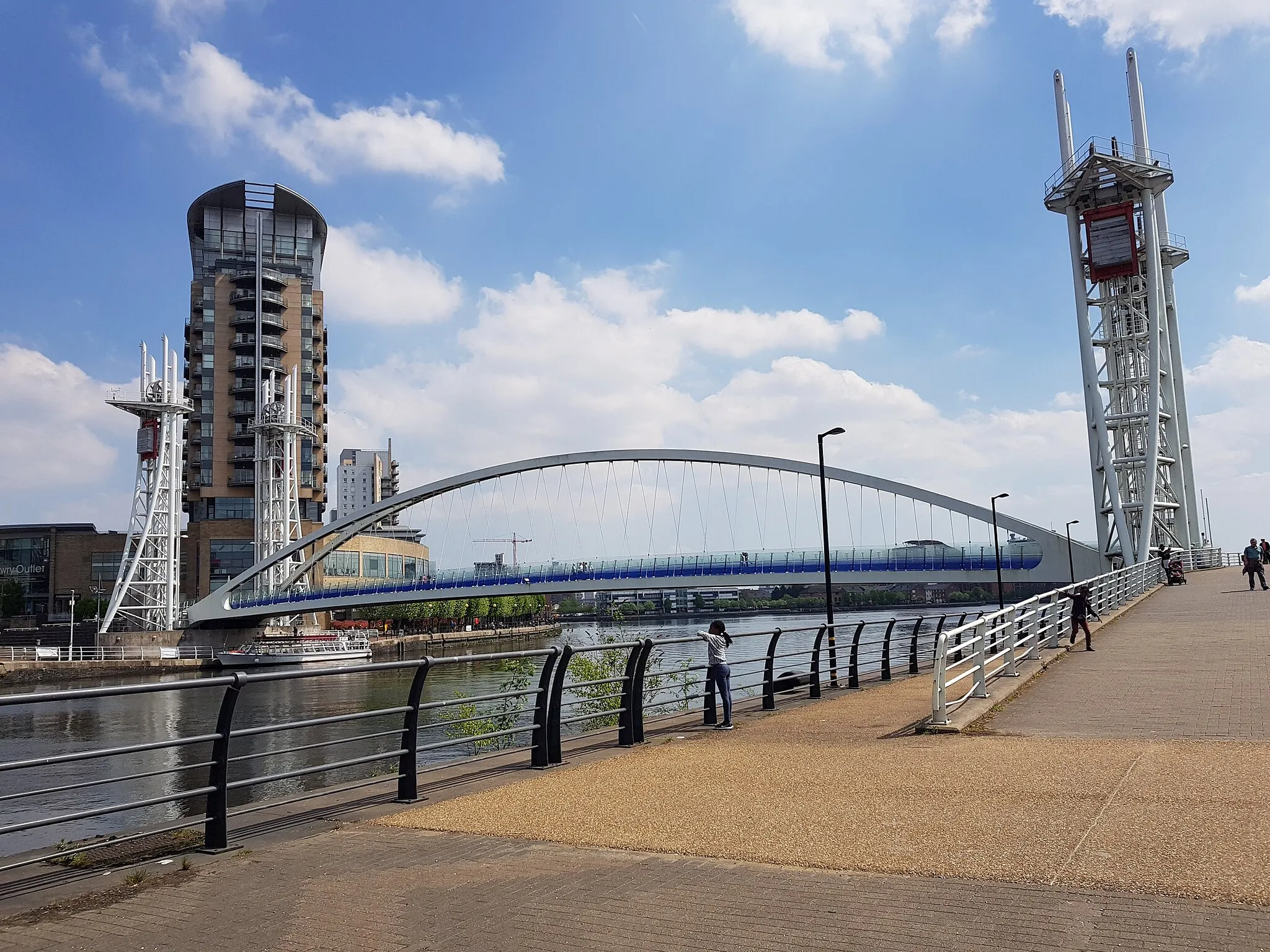
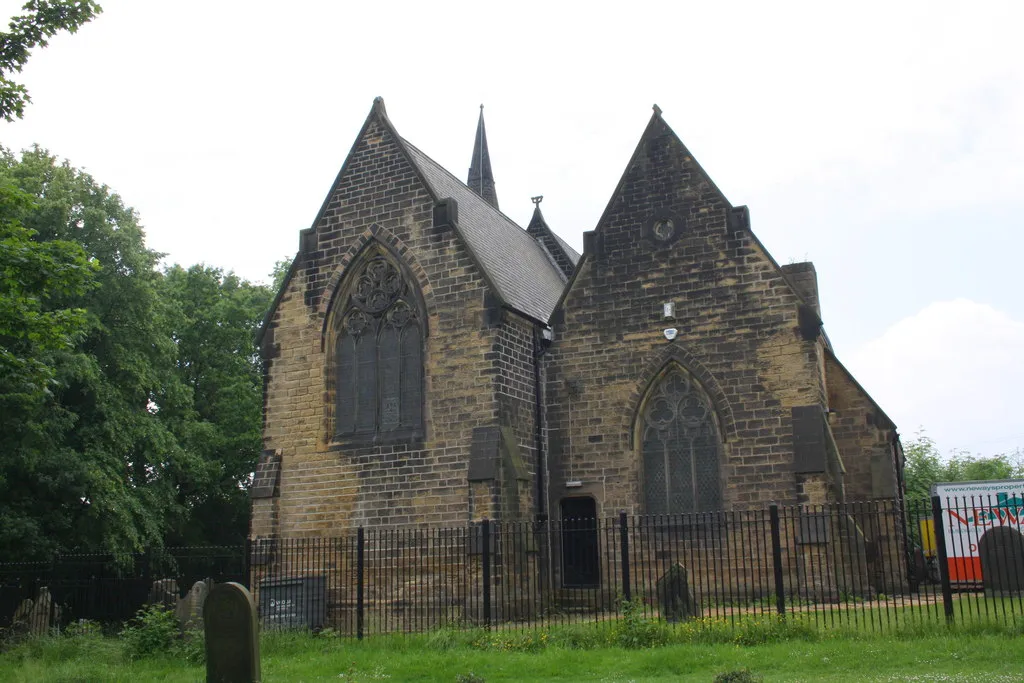
Experience the dynamic mix of urban and rural cycling in the vibrant locality of Rotherham.
Cycling routes from Rotherham
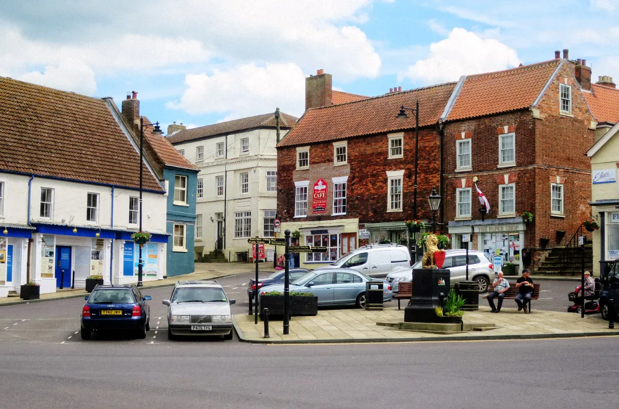
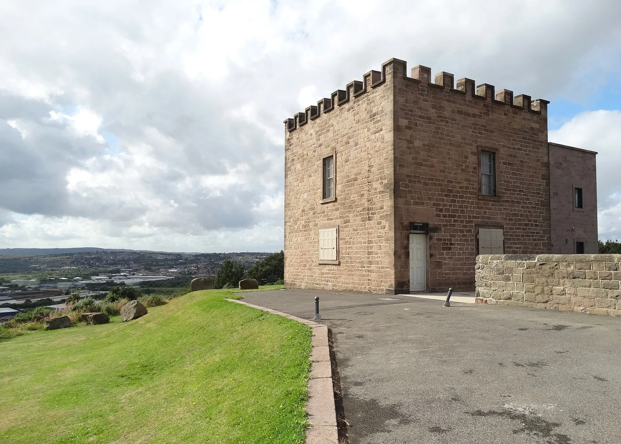
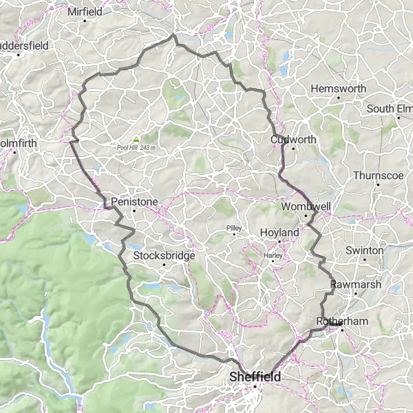
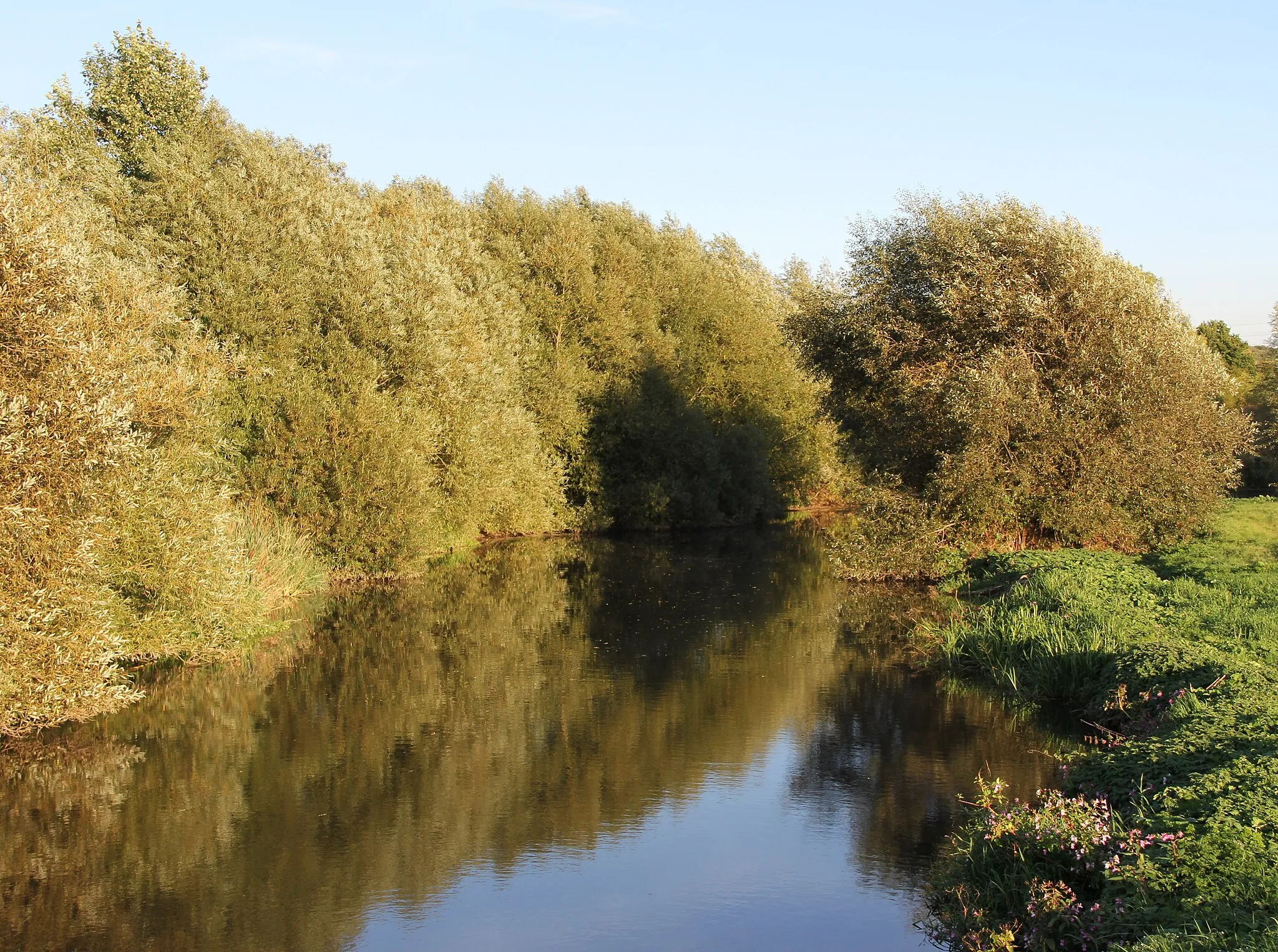
Rotherham, located in South Yorkshire in the United Kingdom, is a vibrant locality for road and gravel cyclists. The area offers a mix of urban and rural routes, catering to different preference and challenges. Cyclists can explore the beautiful countryside surrounding Rotherham, with its rolling hills and charming villages. In terms of notable cycling spots, the locality is within reach of renowned climbs like Mam Tor and Holme Moss, attracting enthusiasts seeking challenging ascents. Rotherham is also home to a thriving cycling community and boasts cycling-friendly amenities such as bike shops and cafes, making it a great base for cyclists to enjoy their rides and connect with fellow enthusiasts.
Rotherham Gravel Ride

An exhilarating gravel ride through Rotherham
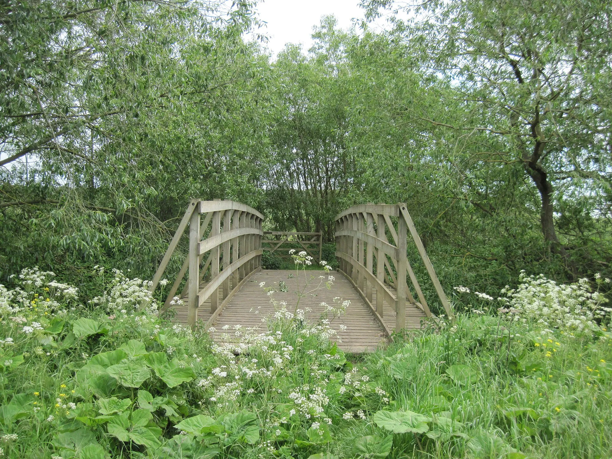
Embark on a thrilling gravel ride through Rotherham and explore its scenic beauty. This route offers stunning views and challenging terrains for experienced cyclists. Experience the adrenaline rush as you conquer the ascents and soak in the natural beauty of Notton and Rawmarsh. With a total ascent of 644 meters and a distance of 62 kilometers, this route is perfect for gravel enthusiasts.

Explore the scenic gravel route through North Anston and Catcliffe
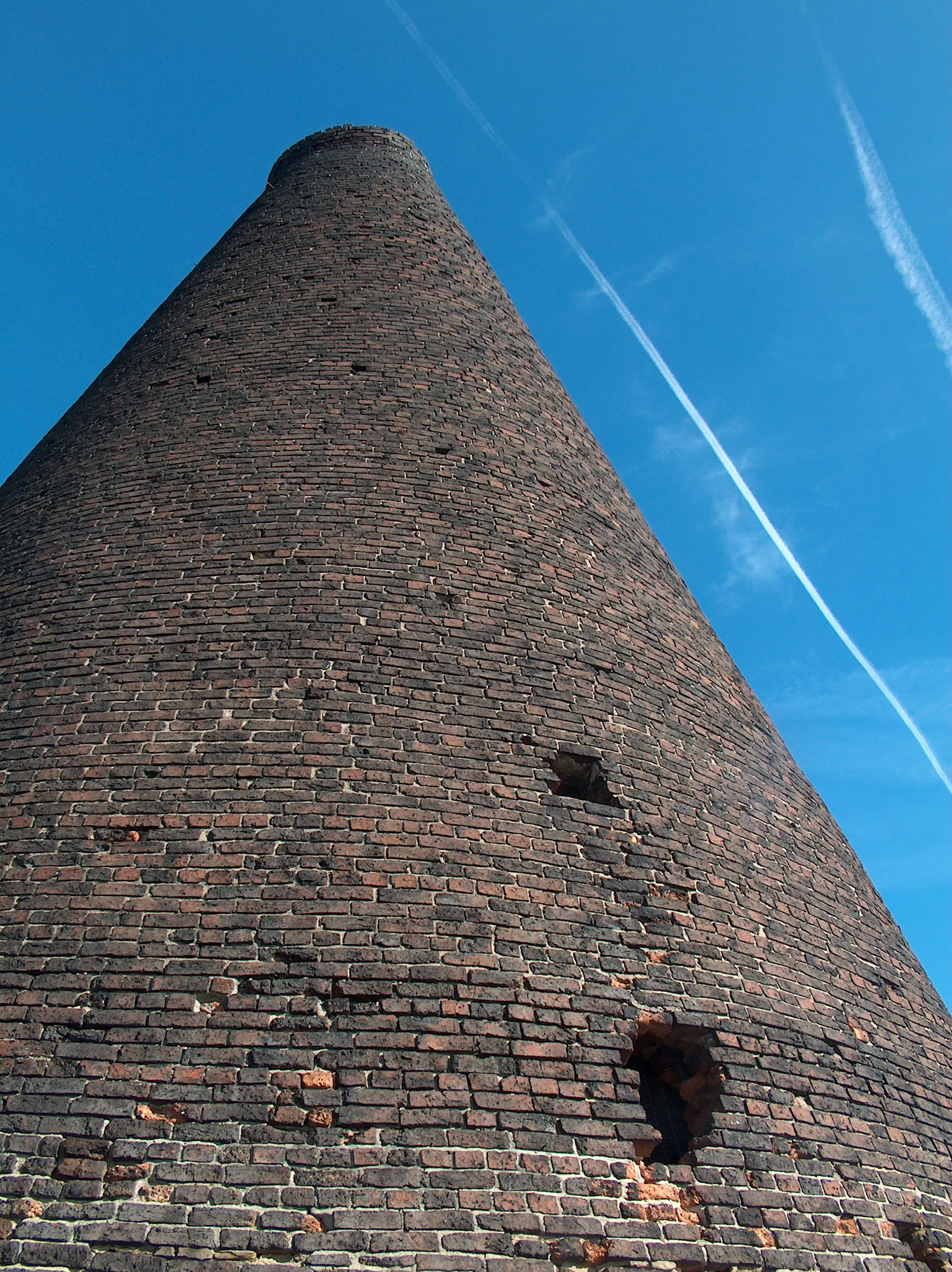
Embark on a memorable gravel adventure through North Anston and Catcliffe. Covering a distance of 37 kilometers with a total ascent of 307 meters, this route is perfect for gravel enthusiasts seeking a shorter but exciting ride. Discover the charm of North Anston and experience the unique sights of Catcliffe Glass Cone as you pedal through picturesque landscapes.

Embark on a thrilling gravel adventure through Greasbrough and Don Valley
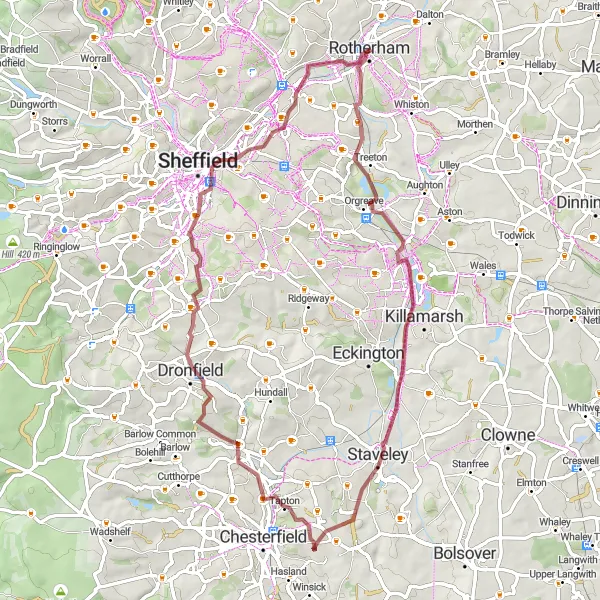
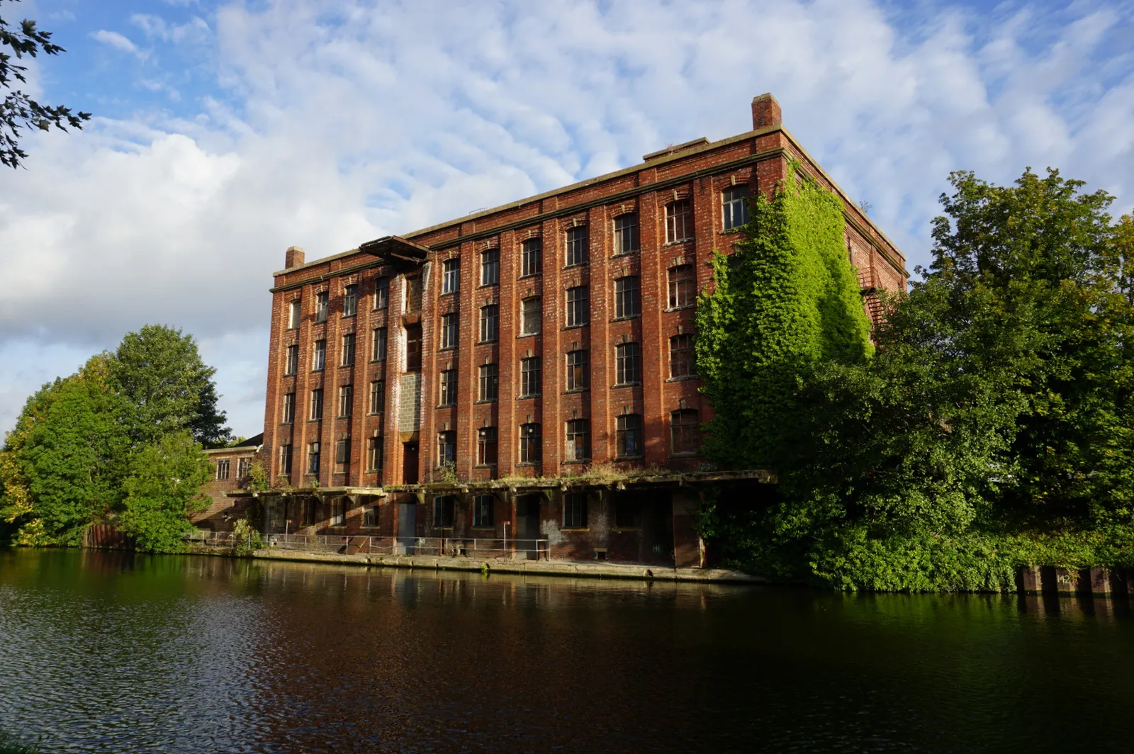
Get ready for an adrenaline-filled gravel adventure through Greasbrough and Don Valley. This route encompasses a total ascent of 1163 meters and covers a distance of 71 kilometers. Experience the excitement as you ride through Gleadless and discover the industrial heritage of the area. Conkers and Cartledge add unique highlights to this epic route.

Experience the thrill of a road cycling tour in Rotherham
Embark on an unforgettable road cycling tour in Rotherham and immerse yourself in the scenic beauty of the region. This epic route features a total ascent of 2482 meters across a distance of 157 kilometers. From the iconic Park Hill to the stunning sights of Flash, this journey will leave you breathless at every turn. With its challenging ascents and legendary climbs, this tour is perfect for experienced road cyclists seeking an epic adventure.
Challenge yourself on the road from Kelham Weir to Rotherham.
Experience a challenging road cycling adventure from Kelham Weir to Rotherham. This 101 km route with an ascent of 1491 meters is perfect for cyclists looking for a challenging and exhilarating ride. Pass through picturesque landscapes, historic sites, and charming towns and villages along the way.
Embark on an exciting gravel trail from Rotherham to Conkers.
Get ready for a thrilling gravel trail adventure from Rotherham to Conkers. With a distance of 61 km and an ascent of 491 meters, this route offers a moderate challenge for gravel cyclists. Explore the diverse landscapes and exciting highlights along the way, from the historic town of Rotherham to the scenic beauty of Conkers.
Embark on an exciting road adventure from Kelham Weir to Huddersfield Observatory.
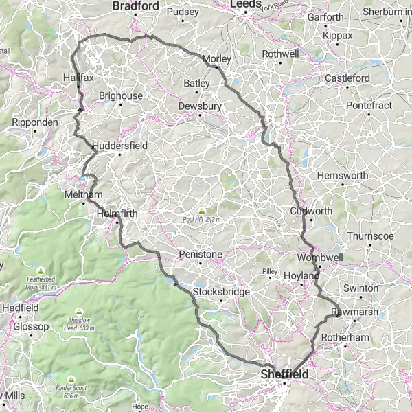
Get ready for an epic road adventure from the picturesque Kelham Weir to the famous Huddersfield Observatory. This 142 km route with an ascent of 2056 meters is perfect for experienced cyclists looking for a challenging and thrilling ride. The route takes you through stunning landscapes, historic sites, and charming towns and villages.

Experience the beauty of Chapeltown and Notton on this scenic road loop.
Immerse yourself in the natural beauty of Chapeltown and Notton on this 71 km road cycling loop. With an ascent of 726 meters, this route offers a moderate challenge for cyclists looking to explore the picturesque countryside and charming villages. Don't forget to take in the breathtaking views along the way.
Explore the charming villages of Harlington and Scawsby.
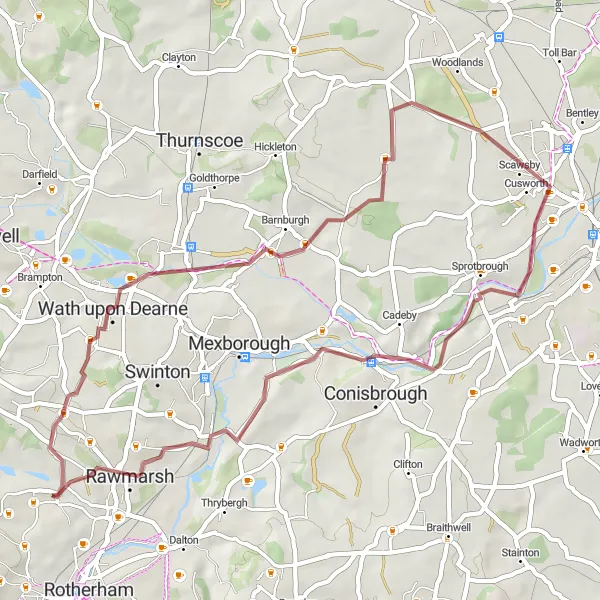
Discover the beauty of the countryside as you cycle through Harlington and Scawsby. This gravel route offers a unique and adventurous experience with its stunning landscapes and picturesque villages. With a total distance of 45 km and an ascent of 447 meters, this route is suitable for cyclists with moderate to high fitness levels.

Embark on an epic road cycling expedition to Attercliffe
Join us on an epic road cycling expedition to Attercliffe, guaranteed to provide you with a thrilling adventure. With a total ascent of 2007 meters and a distance of 122 kilometers, this route is designed for experienced road cyclists. From the vibrant streets of Attercliffe to the breathtaking beauty of Ringinglow, this expedition will take you through challenging terrains and iconic landmarks.
Cycling routes nearby:

Nearby regions: