Cycling paradise in Southern Scotland
Cycling routes from Beith
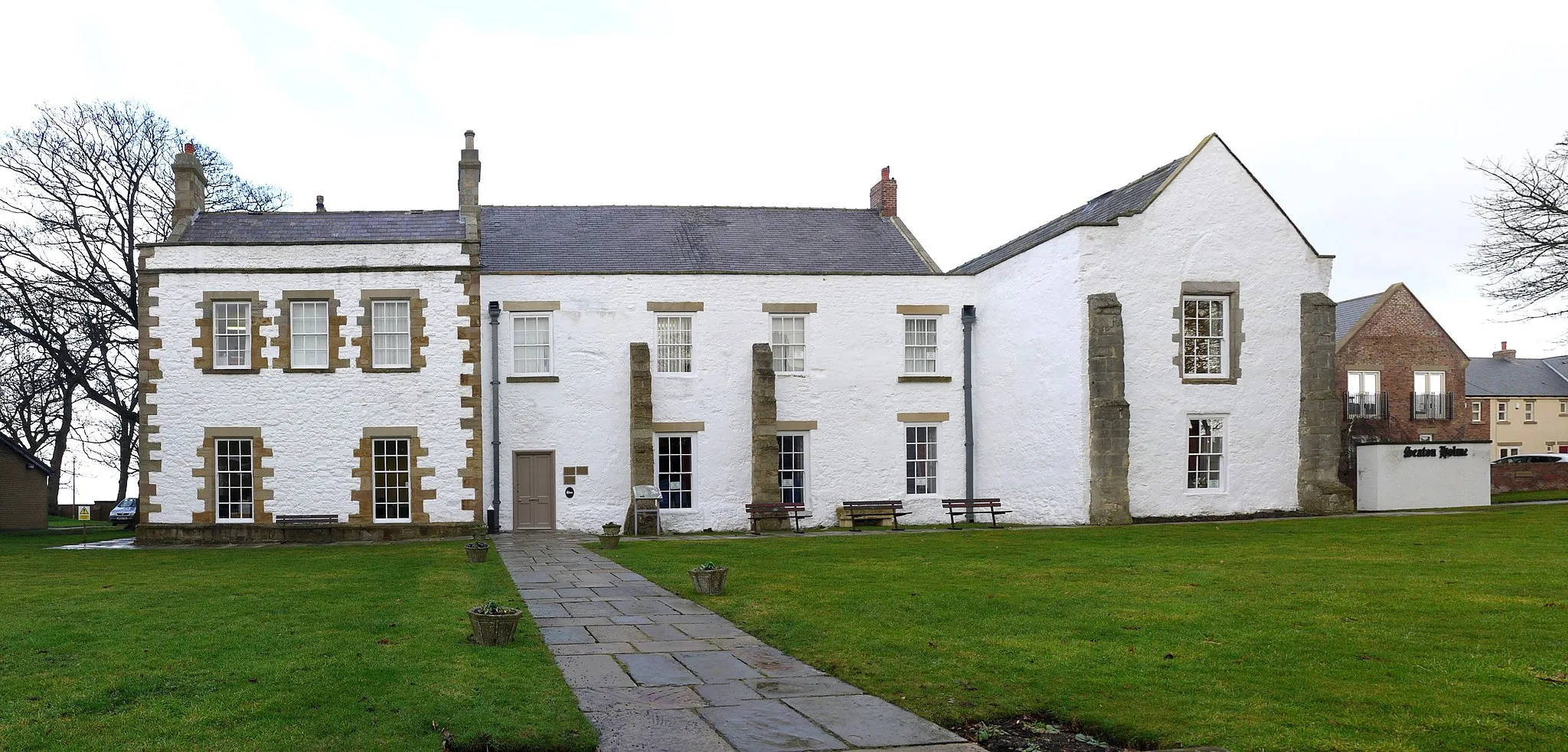
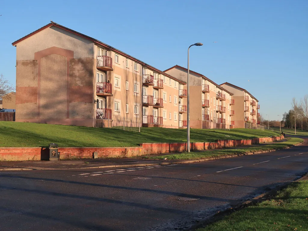
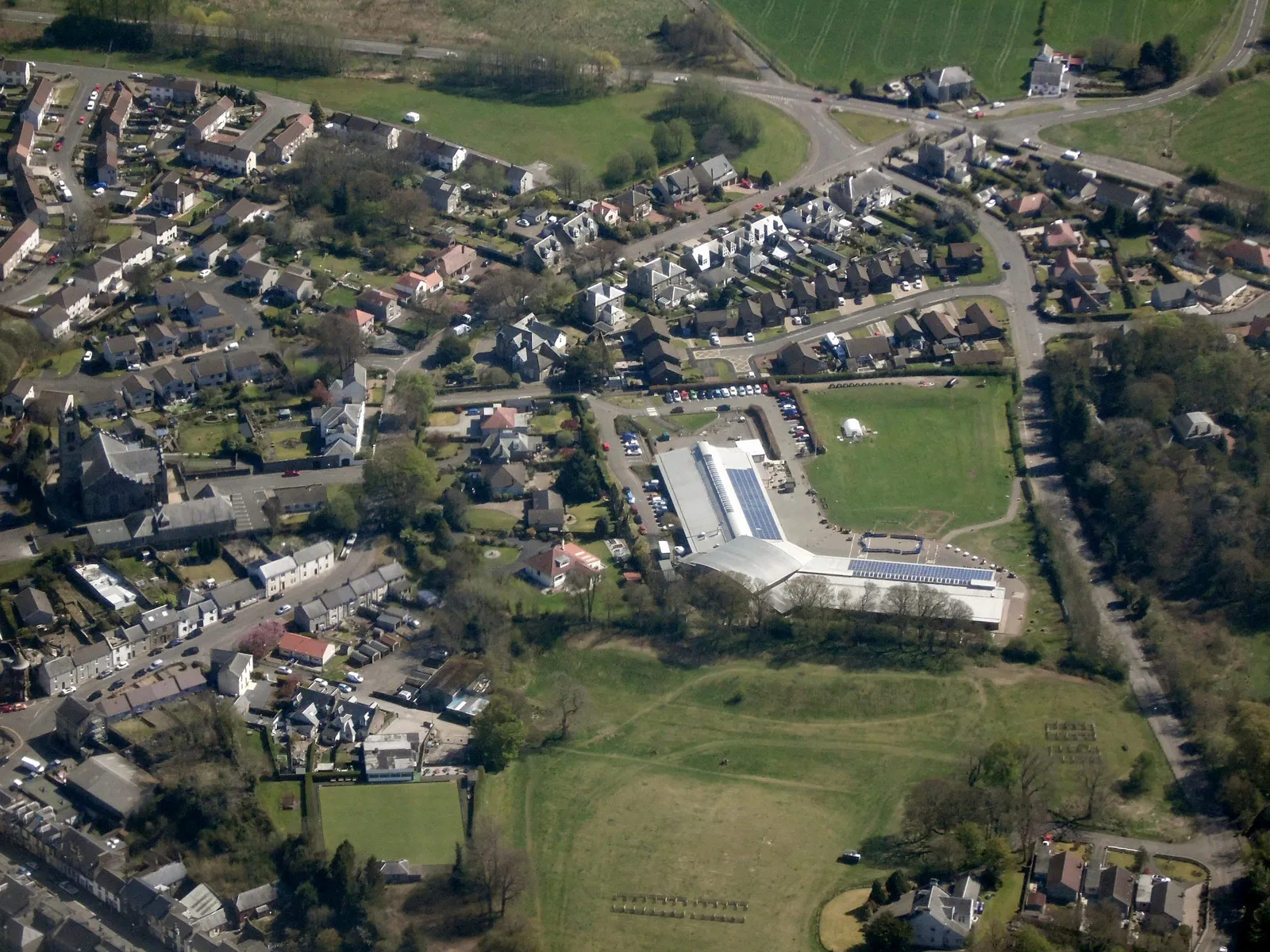
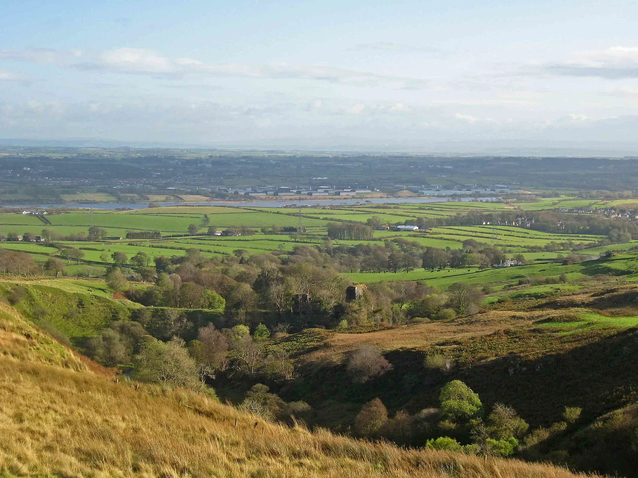
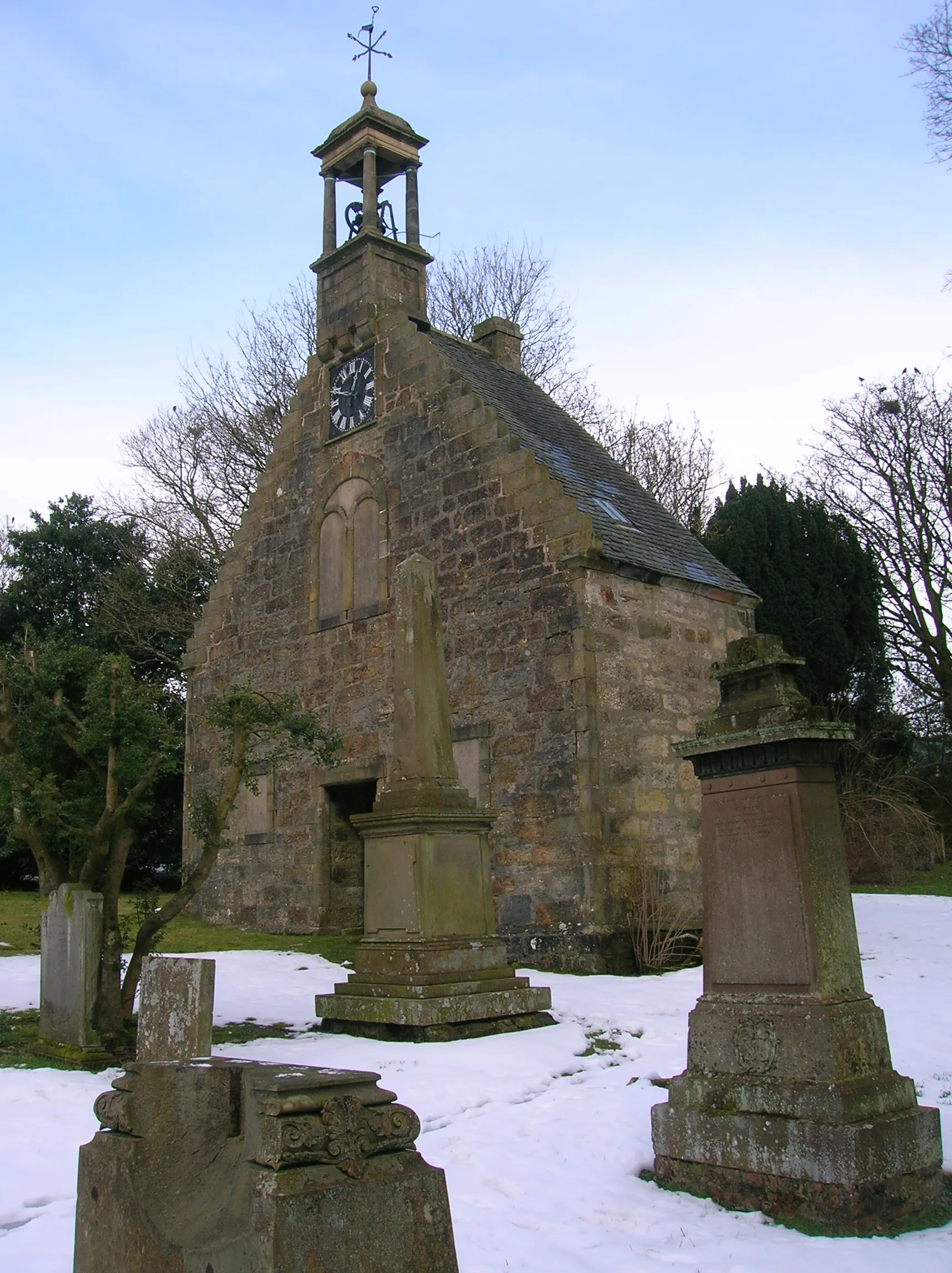
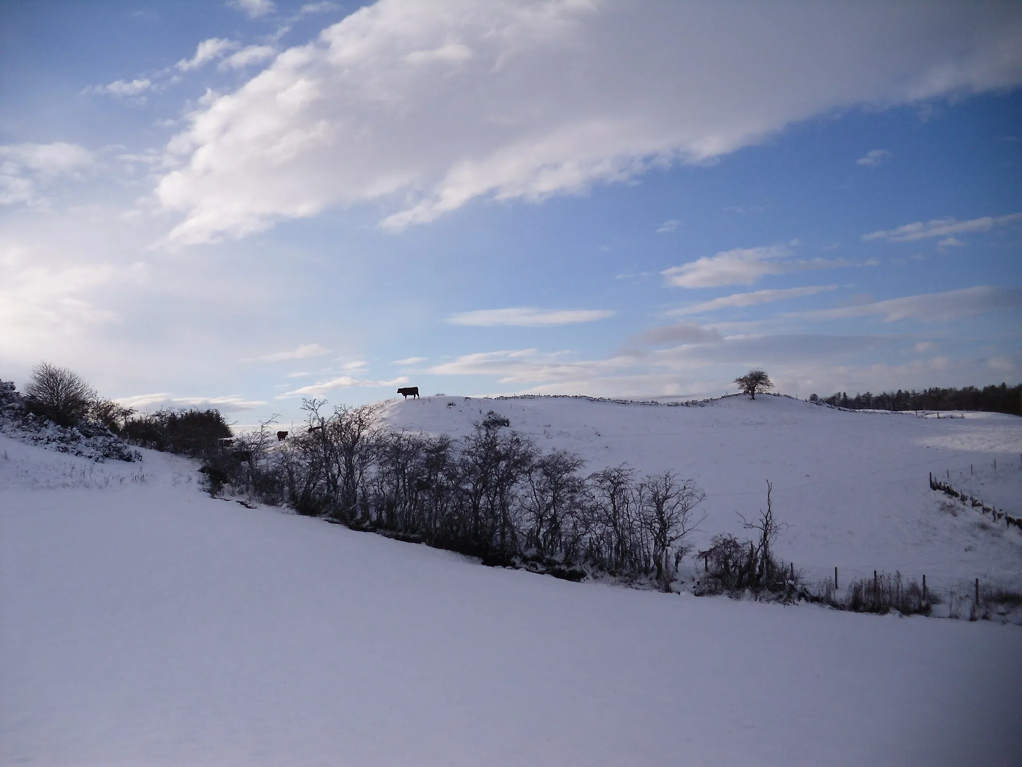
Beith is a locality located in Southern Scotland, United Kingdom. From a cyclist's perspective, Beith offers a diverse range of cycling routes suitable for both road and gravel cyclists. The roads in the area are well-maintained, providing smooth and comfortable rides. Cyclists can enjoy the picturesque countryside and rolling hills while exploring the region. Additionally, there are numerous off-road trails and paths available for gravel cycling enthusiasts. Overall, Beith is a great destination for both road and gravel cyclists looking to explore the beautiful landscapes of Southern Scotland.
Experience the coastal beauty of Kilbirnie and Largs
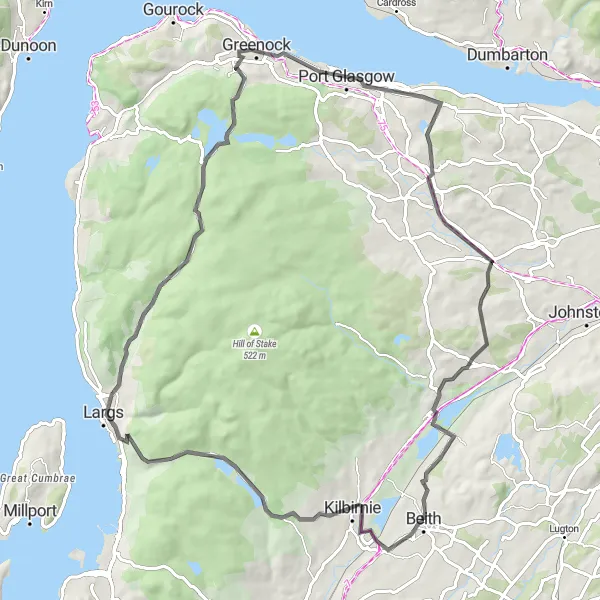
This 75 km road cycling route takes you along the scenic coastal towns of Kilbirnie and Largs. With an ascent of 918 meters, it offers a moderate challenge suitable for well-trained amateurs. Enjoy the picturesque landscapes and stunning views of the West Coast. Don't miss the historic Newark Castle on the way. Overall, this route promises a delightful mix of coastal charm and natural beauty.
Kilwinning Loop
A scenic road route exploring the lesser-known gems near Kilwinning.
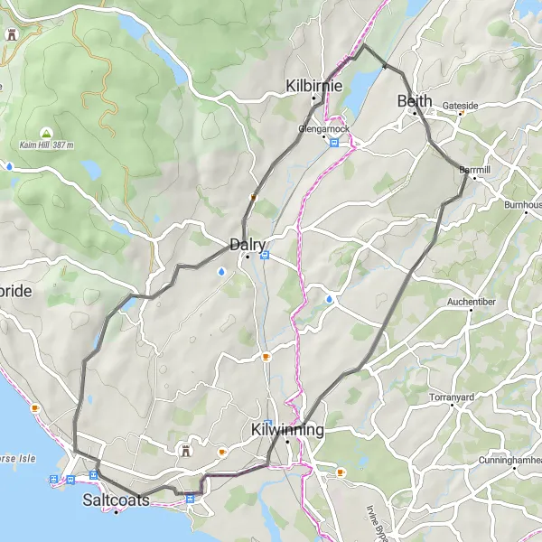
This 45 km road route near Beith explores the hidden gems and lesser-known attractions in the Kilwinning area. With a sedate ascent of 318 meters, this route is suitable for moderately trained amateur riders. Highlights include Kilbirnie and Dalry, offering insights into local history and stunning landscapes. The difficulty level of this route is 2 out of 5, making it an enjoyable ride for riders of various fitness levels. Overall, this route provides a pleasant cycling experience along peaceful roads and through charming villages.
Ayrshire Delight
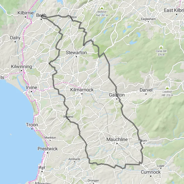
A delightful road ride through the beautiful Ayrshire countryside near Beith.
This 108 km round trip route starting near Beith explores the scenic countryside of Ayrshire, offering delightful views and charming towns. With an ascent of 997 meters, this route poses a challenge to riders seeking a rewarding day in the saddle. Highlights such as Kingsford and Waterside along the route provide opportunities to immerse oneself in the natural beauty of Southern Scotland. The difficulty level of the route is 4 out of 5, making it suitable for experienced riders with a good fitness level. Overall, this route promises a delightful day of cycling through some of the most picturesque landscapes in the region.

Explore the scenic beauty of Dalry and Wemyss Bay
This 79 km road cycling route offers the opportunity to explore the beautiful towns of Dalry and Wemyss Bay. With a total ascent of 1026 meters, it is moderately challenging but suitable for well-trained amateurs. The route takes you through picturesque landscapes and offers stunning views of Lochwinnoch. Don't miss the historic Duchal Castle along the way. Overall, this route provides a perfect balance of natural beauty and cultural heritage.

Embrace the scenic beauty of Greenhills and Loans
This 63 km road cycling route allows you to embrace the scenic beauty of Greenhills, Crosshouse, and Loans. With an ascent of 464 meters, it is suitable for well-trained amateurs. Cycle through picturesque landscapes and quaint Scottish towns, and enjoy stunning views along the way. Don't miss the historic Seagate Castle near Irvine. Overall, this route promises a combination of natural beauty and cultural exploration.
Eaglesham Adventure
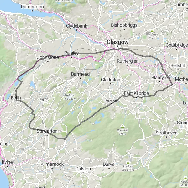
A scenic road ride through picturesque landscapes near Beith.
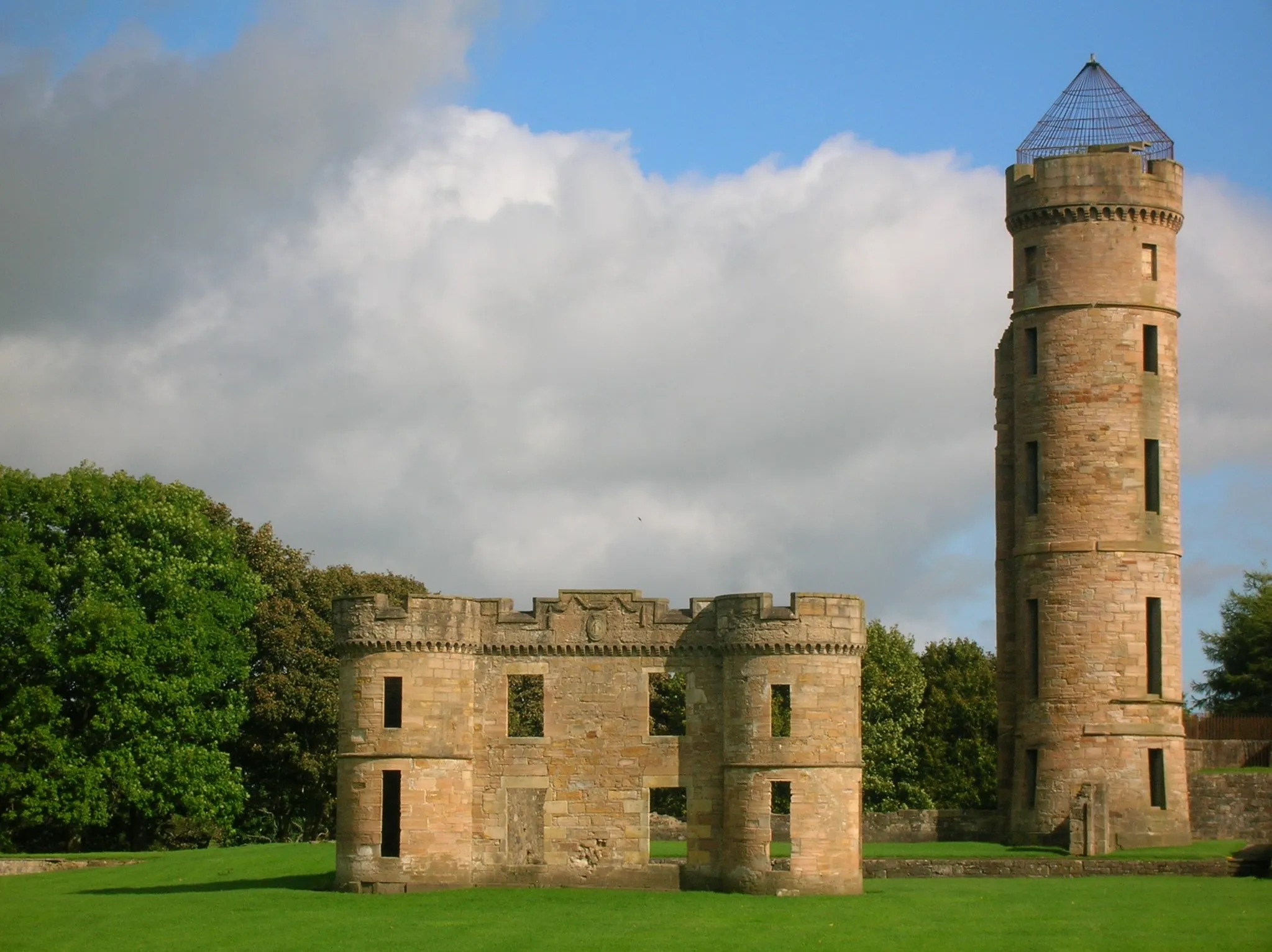
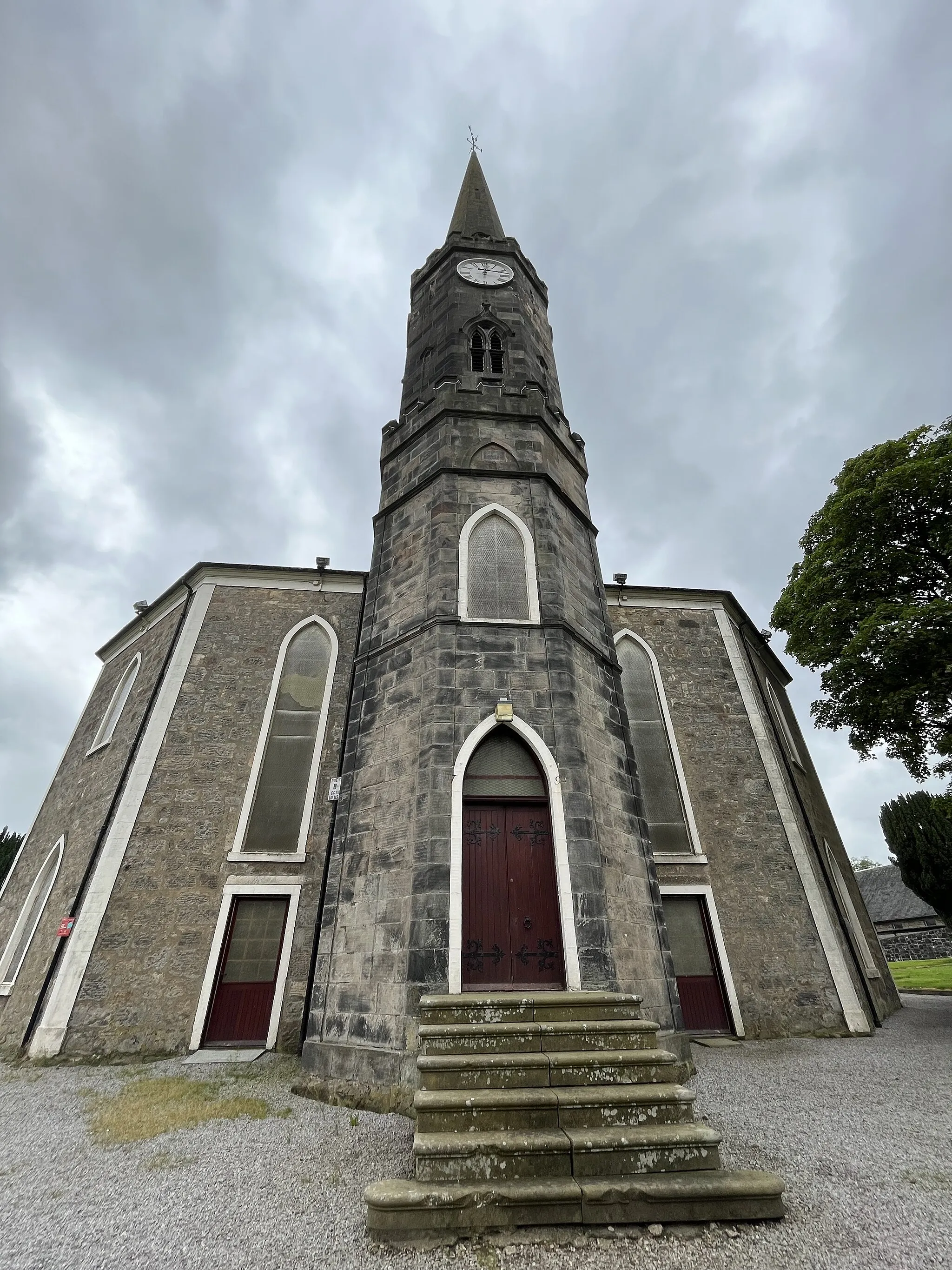
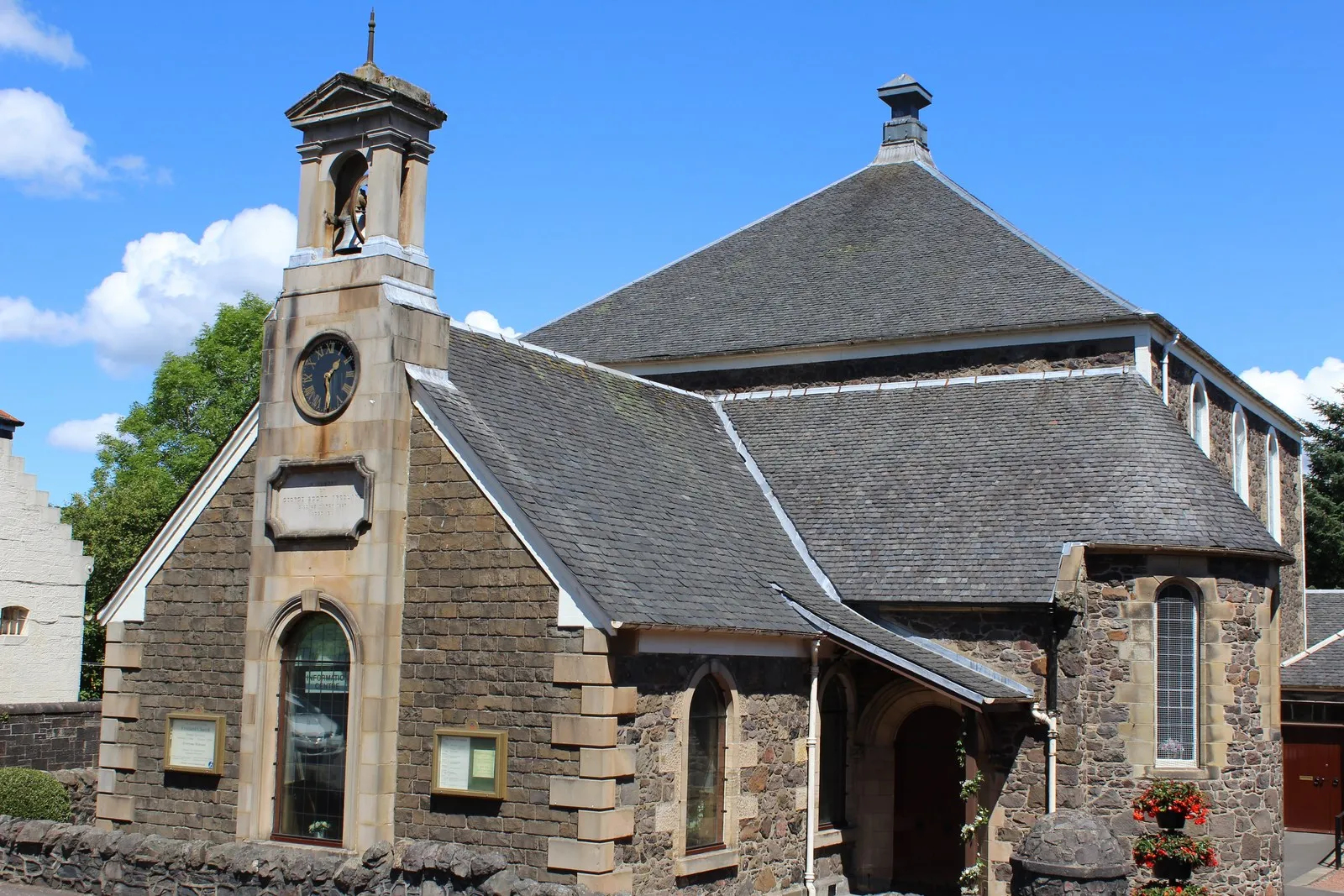
This 102 km round trip route starting near Beith takes you on a scenic adventure through picturesque landscapes and charming villages. With an ascent of 776 meters, this route caters to well-trained amateur riders seeking a challenging yet rewarding cycling experience. Highlights include Semple Collegiate Church and Mackintosh Tower. The difficulty level of this route is 3 out of 5, appealing to riders with moderate to high fitness levels. Overall, this route provides a mix of natural beauty and cultural landmarks, making it an ideal choice for exploring the charm of Southern Scotland.

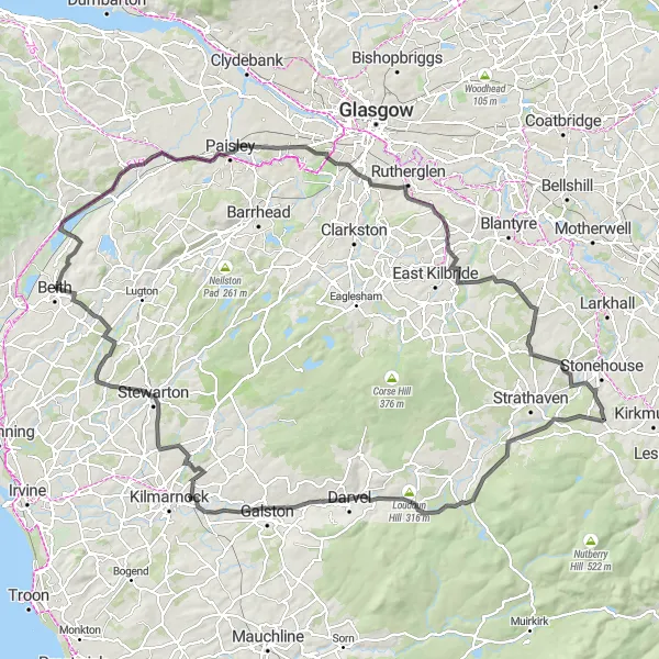
A challenging road route through the scenic countryside near Beith.
This 141 km round trip route starts near Beith and takes you through picturesque towns and villages. The route features 1,498 meters of ascent, making it a challenging ride even for well-trained amateurs. With highlights such as Ballageich Hill and Eaglesham along the way, this route offers stunning views and a chance to explore some beautiful landscapes in Southern Scotland. The difficulty level of the route is 4 out of 5, requiring excellent fitness and cycling skills. Overall, this route is perfect for riders seeking a challenging, scenic adventure in the area.

Discover the natural beauty of Hessilhead and Dunlop
This 44 km road cycling route allows you to explore the natural beauty of Hessilhead, Barrhead, and Dunlop. With an ascent of 489 meters, it is relatively easy and suitable for all skill levels. Venture through picturesque landscapes and quaint Scottish towns. Don't miss the breathtaking Gleniffer Braes viewpoint along the way. Overall, this route offers a pleasant blend of nature and local charm.
A challenging road ride with stunning hilltop views near Beith.
This 131 km round trip route starting near Beith takes cyclists through a challenging course featuring 989 meters of ascent. The breathtaking views from Saucel Hill make it a highlight of this route. Other notable stops on the route include Crossmyloof and Greer Hill. The difficulty level of this route is 4 out of 5, catering to well-trained amateurs seeking a challenging adventure. Overall, this route offers a scenic and immersive cycling experience through beautiful landscapes in Southern Scotland.

Explore the beauty of Lochwinnoch and Kilmacolm enroute to Duntocher
Embark on a scenic journey along this 80 km road cycling route while exploring the beauty of Lochwinnoch, Kilmacolm, Bishopton, and Duntocher. With an ascent of 855 meters, it offers a moderate level of challenge suitable for well-trained amateurs. Immerse yourself in the breathtaking vistas and experience the rich cultural heritage along the way. Don't miss the magnificent Gleniffer Braes viewpoint and Erskine Bridge. Overall, this route provides a delightful mix of natural beauty and historical landmarks.
Cycling routes nearby:
Nearby regions: