Stewarton Roundtrip
A road cycling route starting from Beith
A challenging road route through the scenic countryside near Beith.
Map

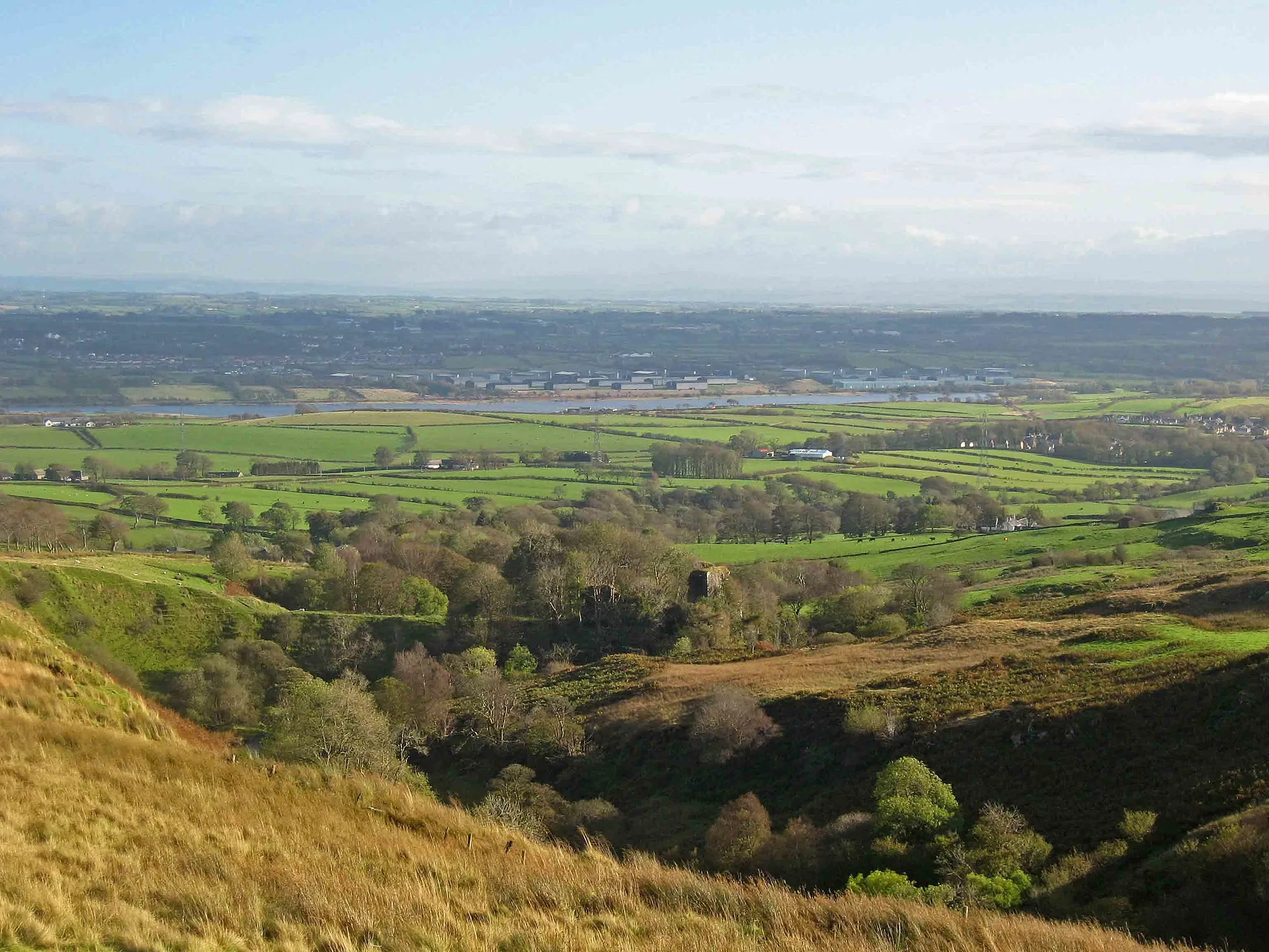
This 141 km round trip route starts near Beith and takes you through picturesque towns and villages. The route features 1,498 meters of ascent, making it a challenging ride even for well-trained amateurs. With highlights such as Ballageich Hill and Eaglesham along the way, this route offers stunning views and a chance to explore some beautiful landscapes in Southern Scotland. The difficulty level of the route is 4 out of 5, requiring excellent fitness and cycling skills. Overall, this route is perfect for riders seeking a challenging, scenic adventure in the area.
road
141 km
1498 m
Tough
Route profile
Highlights on the route
0 km
0 km
Start: Beith City centerBeith: Cycling paradise in Southern Scotland
Beith is a locality located in Southern Scotland, United Kingdom. From a cyclist's perspective, Beith offers a diverse range of cycling routes suitable for both road and gravel cyclists. The roads in the area are well-maintained, providing smooth and comfortable rides. Cyclists can enjoy the picturesque countryside and rolling hills while exploring the region. Additionally, there are numerous off-road trails and paths available for gravel cycling enthusiasts. Overall, Beith is a great destination for both road and gravel cyclists looking to explore the beautiful landscapes of Southern Scotland.14 km
14 km
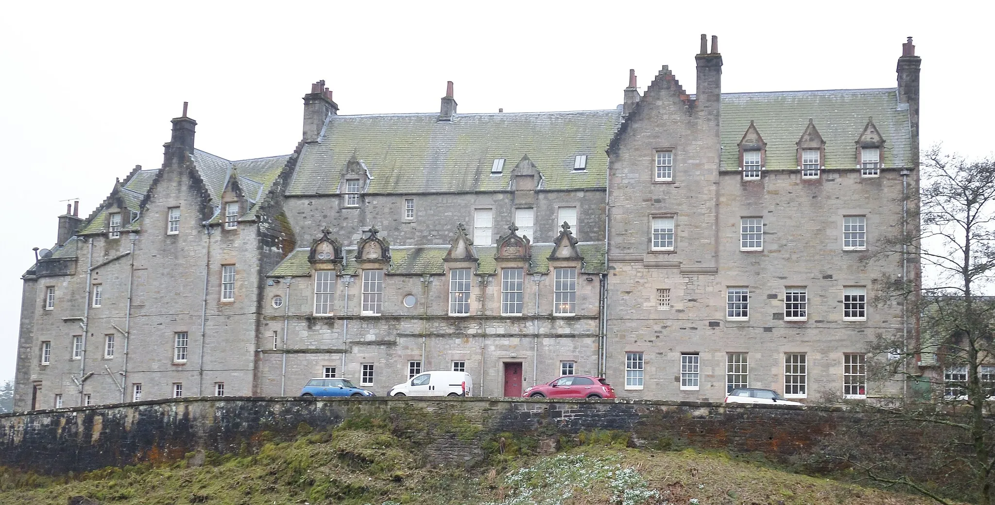
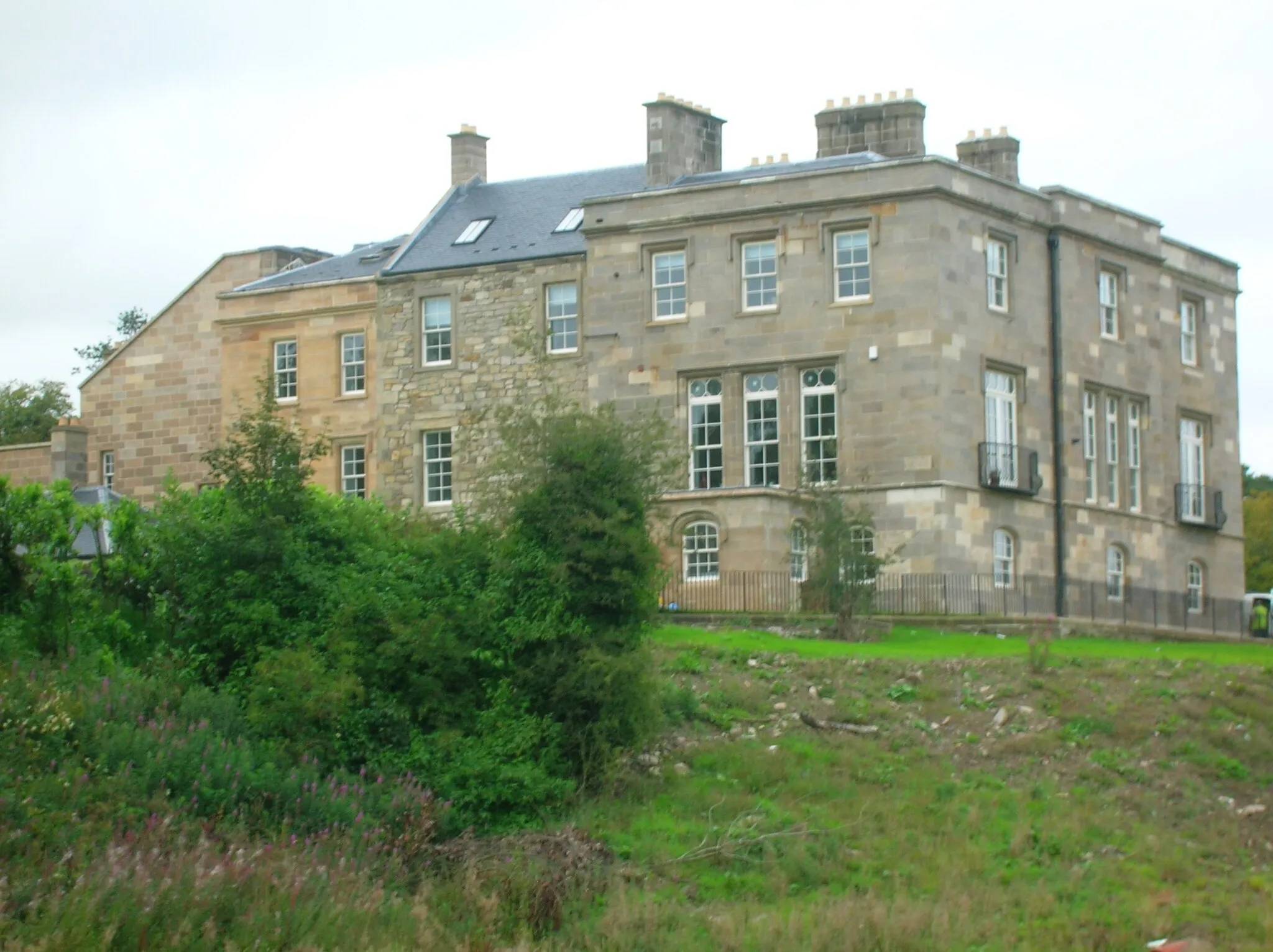
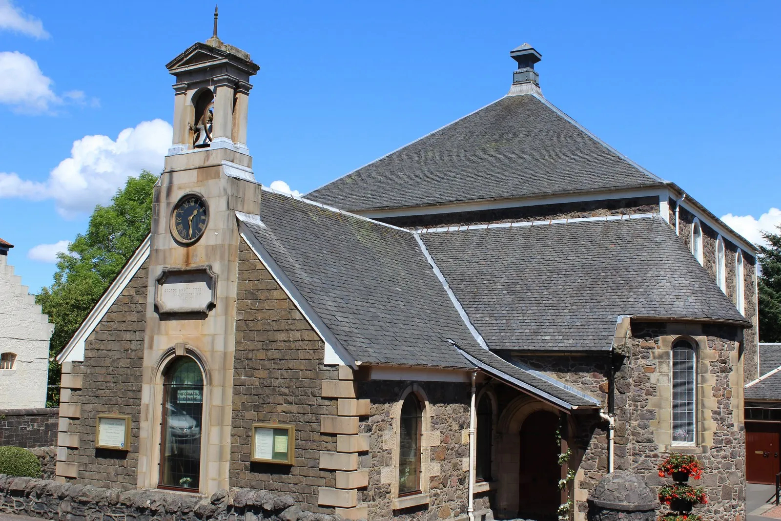
StewartonTownStewarton offers a charming town center with historic architecture and local cafes, perfect for a rest stop.
29 km
29 km
Ballageich Hill333 mPeakBallageich Hill provides a challenging climb with rewarding panoramic views of the surrounding countryside.
34 km
34 km
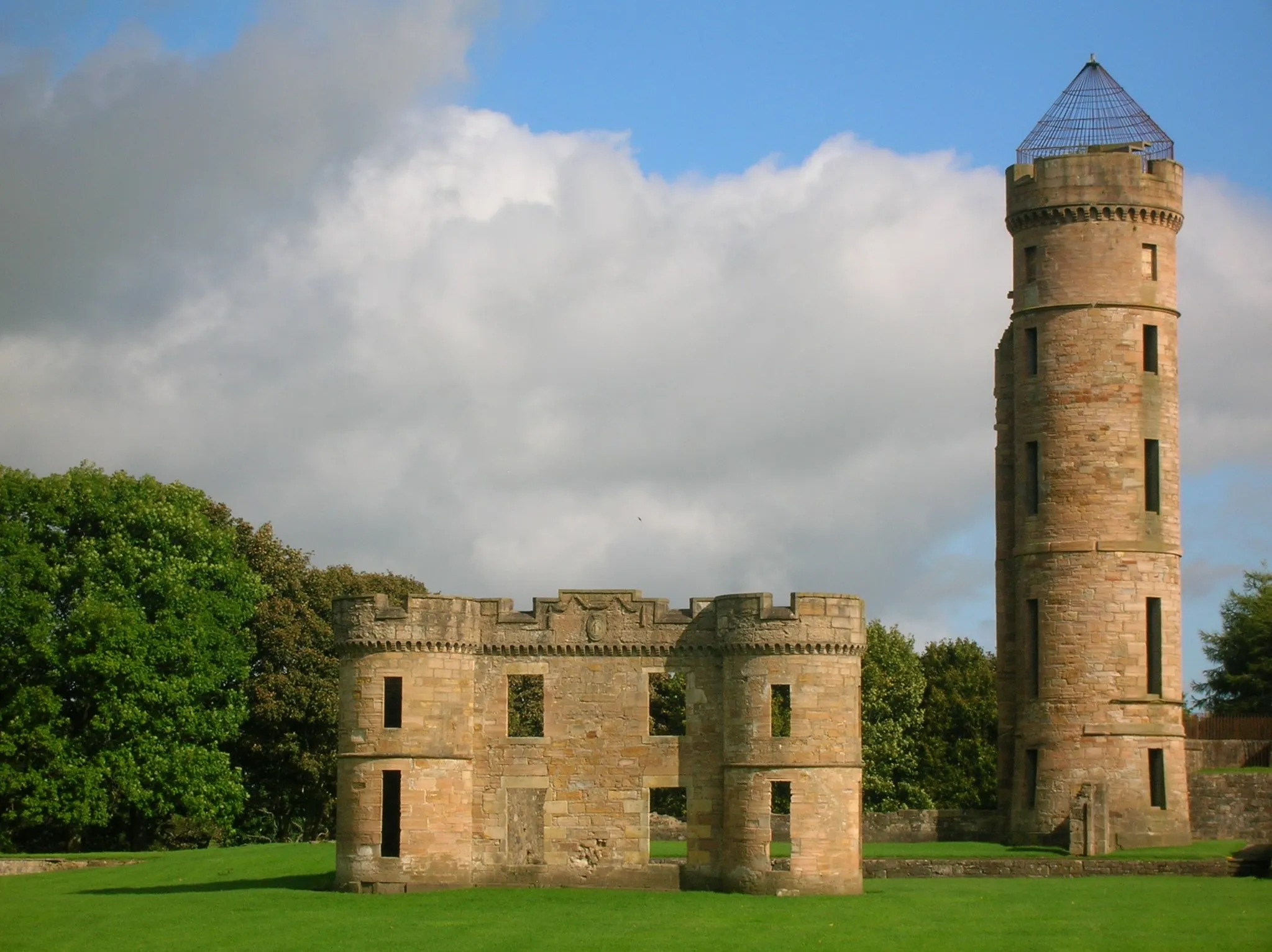
EagleshamVillageEaglesham is a quaint village known for its beautiful stone cottages and well-preserved historic buildings.
58 km
58 km
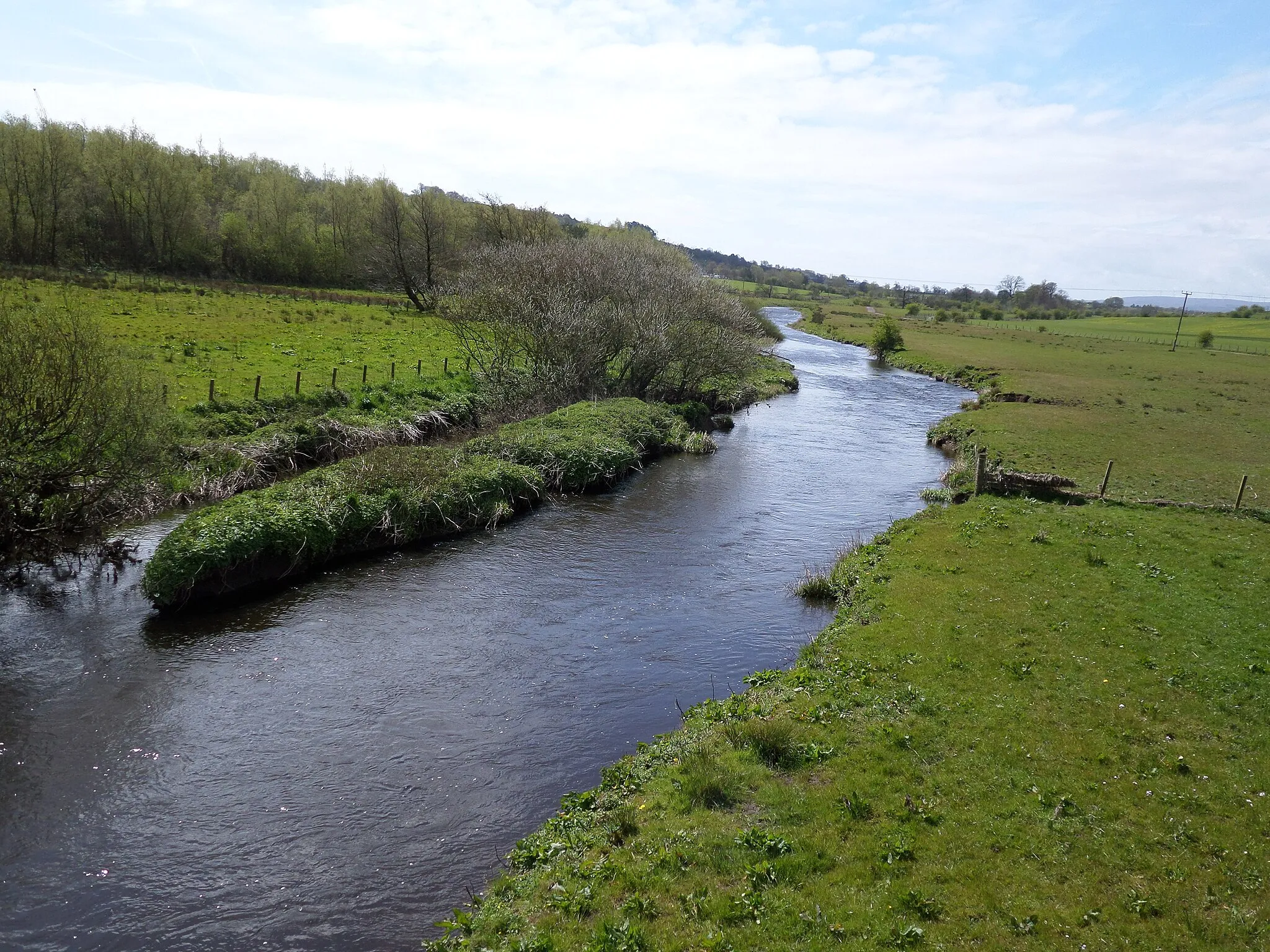
Woodhead105 mPeakWoodhead is a scenic spot with peaceful woodland and trails, offering a relaxing pit stop on the route.
72 km
72 km
TwecharVillageTwechar is a former mining village with interesting industrial heritage, including the impressive Twechar Crane.
81 km
81 km
Tak Ma Doon Road Viewing and Picnic AreaViewpointTak Ma Doon Road Viewing and Picnic Area is an ideal stop to admire the stunning views of the surrounding countryside and enjoy a picnic.
91 km
91 km
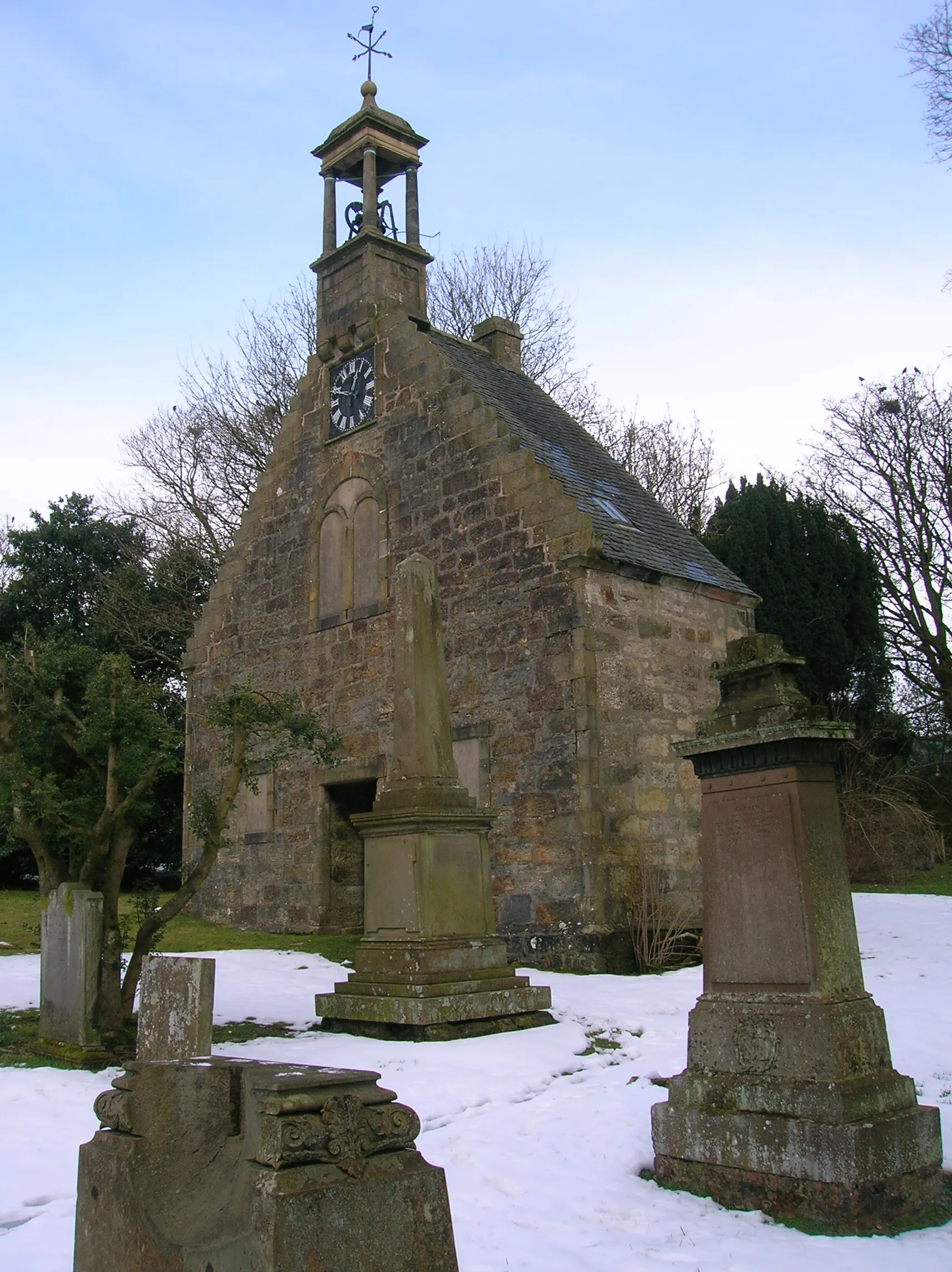
Bar Hill161 mPeakBar Hill is an ancient Roman fort with the remains of a commanding tower and excellent views of Central Scotland.
97 km
97 km
KirkintillochTownKirkintilloch is a historic town with a charming canal and vibrant town center, perfect for a quick browse or coffee break.
106 km
106 km
ProvanmillSub-urbProvanmill is a lively residential area with diverse shops and bustling local markets, offering a taste of local culture during the ride.
109 km
109 km
Broom Hill66 mPeakBroom Hill is a peaceful location with scenic views and an ideal spot for a moment of relaxation.
126 km
126 km
NeilstonTownNeilston is a traditional Scottish village with friendly locals, cozy eateries, and traditional pubs, providing a warm welcome on the route.
138 km
138 km
HessilheadHamletHessilhead offers a scenic spot with tranquil nature reserves and wildlife, perfect for nature lovers and birdwatching enthusiasts.
141 km
141 km
Finish: Beith City centerBeith: Cycling paradise in Southern Scotland
Cycling routes from Beith:
Beith-Hessilhead-Barrhead-Dunlop Cycle Route Beith-Lochwinnoch-Kilmacolm-Bishopton-Duntocher Cycle Route Kilwinning Loop Ayrshire Delight Beith-Greenhills-Crosshouse-Loans Cycle Route Beith-Dalry-Wemyss Bay Cycle Route Stewarton Roundtrip Beith-Kilbirnie-Largs Cycle Route Eaglesham Adventure Saucel Hill Challenge
Cycling routes nearby: