Stewarton Loop
A road cycling route starting from Kilmarnock
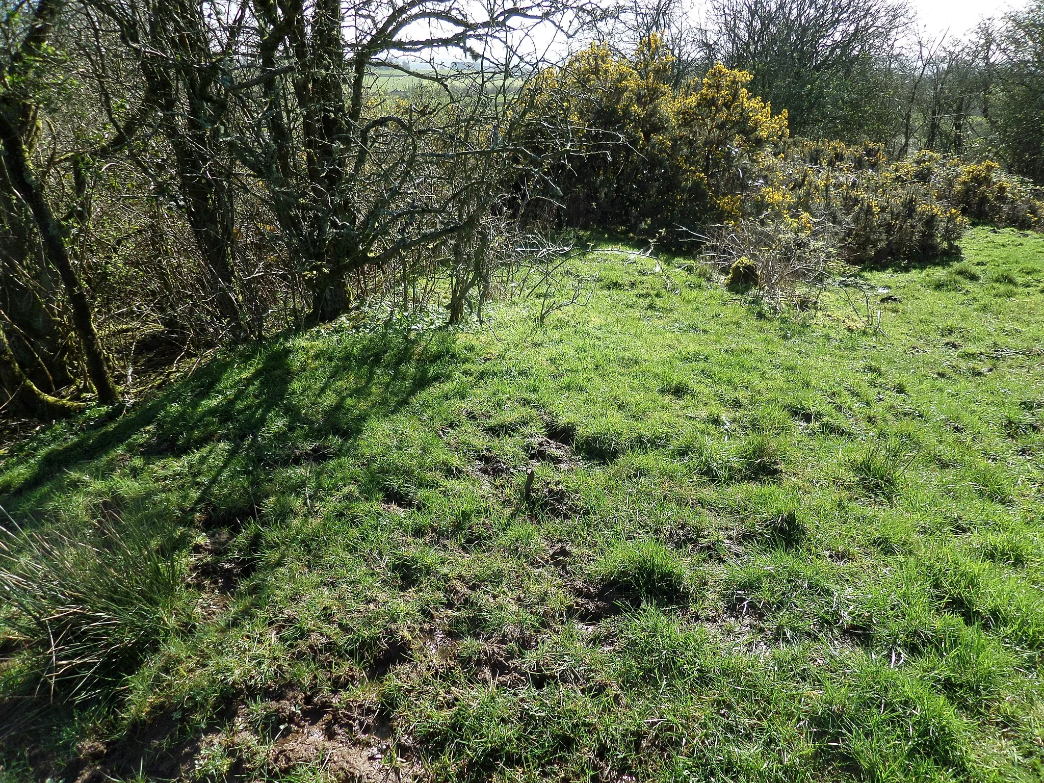
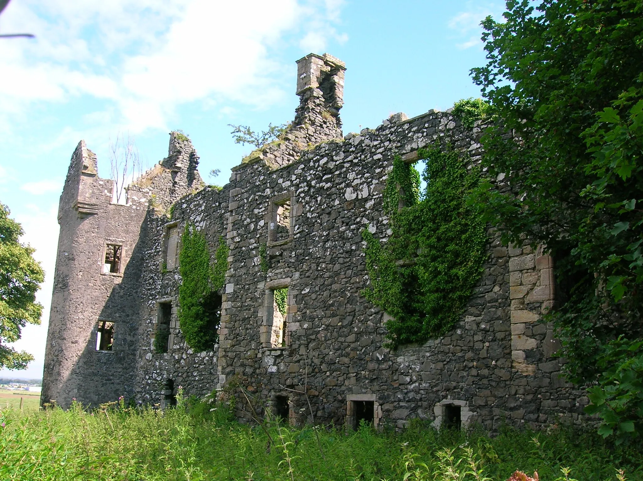
Embark on a journey through scenic landscapes shaped by nature and history
Map

The Stewarton Loop takes cyclists on a 57km itinerary through stunning landscapes near Kilmarnock. With a difficulty level of 2, it is suitable for cyclists of varying fitness levels. The route includes approximately 518m of ascent and showcases a mix of natural beauty and fascinating historical sites.
road
57 km
518 m
Chill
Route profile
Highlights on the route
0 km
0 km
Start: Kilmarnock City centerKilmarnock: Diverse cycling region with coastal routes and access to Galloway Forest Park.
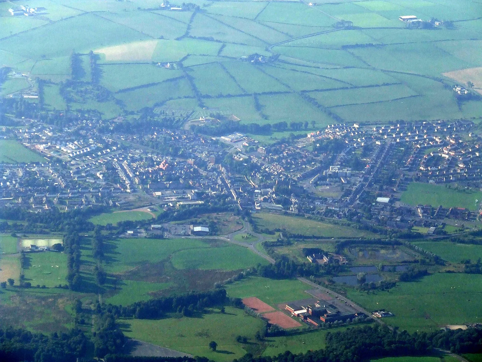
Kilmarnock, nestled in Southern Scotland, is a remarkable locality for cyclists. The region offers a mix of coastal routes, rolling hills, and serene countryside, providing varied cycling experiences. Two popular cycling routes in the area are the Ayrshire Coast Cycleway and the Sustrans Route 73, showcasing stunning coastal vistas and scenic landscapes. Additionally, Kilmarnock serves as a gateway to the Galloway Forest Park, renowned for its mountain biking trails. With its cycling-friendly infrastructure, diverse terrain, and proximity to natural attractions, Kilmarnock caters to the needs of all types of cyclists, from leisure riders to avid adventurers.8 km
8 km
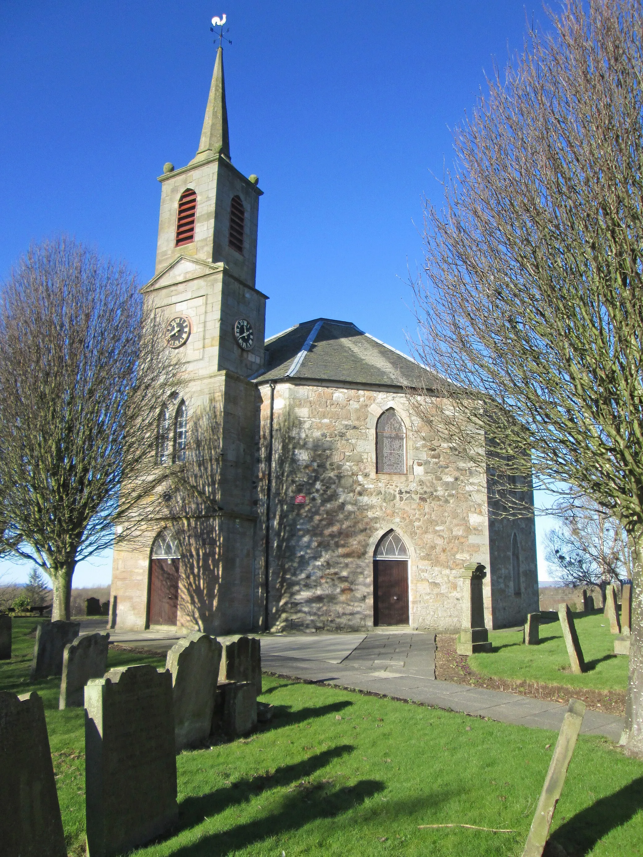
StewartonTownStewarton hosts a range of local festivals throughout the year, offering cyclists an opportunity to immerse themselves in lively cultural events.
25 km
25 km
NeilstonTownNeilston is surrounded by countryside and offers peaceful surroundings for cyclists to relax and unwind.
57 km
57 km
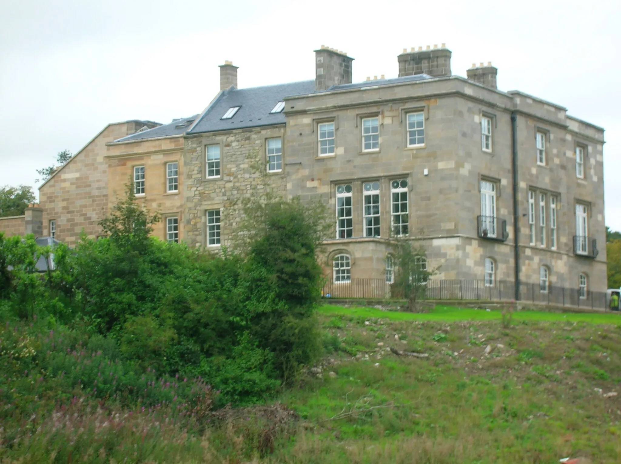
KilmarnockTownKilmarnock, the starting and ending point of this route, offers a variety of accommodation options for those seeking a longer stay and exploring the surrounding region.
57 km
57 km
Finish: Kilmarnock City centerKilmarnock: Diverse cycling region with coastal routes and access to Galloway Forest Park.
Cycling routes nearby: