Waterside Adventure
A road cycling route starting from Newmilns
Embark on a memorable cycling journey along the Waterside Adventure
Map
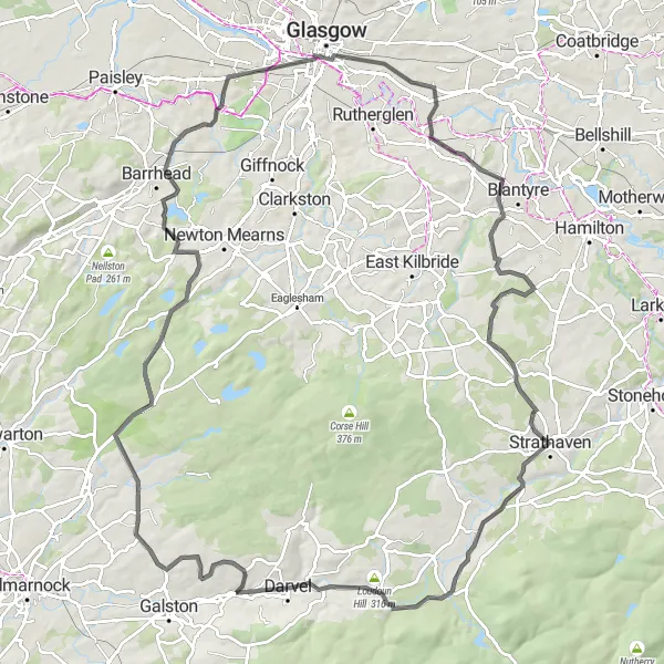
The Waterside Adventure is a thrilling cycling route that takes you through the picturesque Scottish countryside near Newmilns. With a challenging distance of 100 kilometers and an ascent of 868 meters, this route is ideal for experienced cyclists looking for an exciting challenge. Along the way, you'll pass through highlights such as Duncarnock, Hurlet, and Tollcross. The route offers panoramic views of rivers, hills, and charming towns, providing cyclists with a diverse and memorable experience.
road
100 km
868 m
Tough
Route profile
Highlights on the route
0 km
0 km
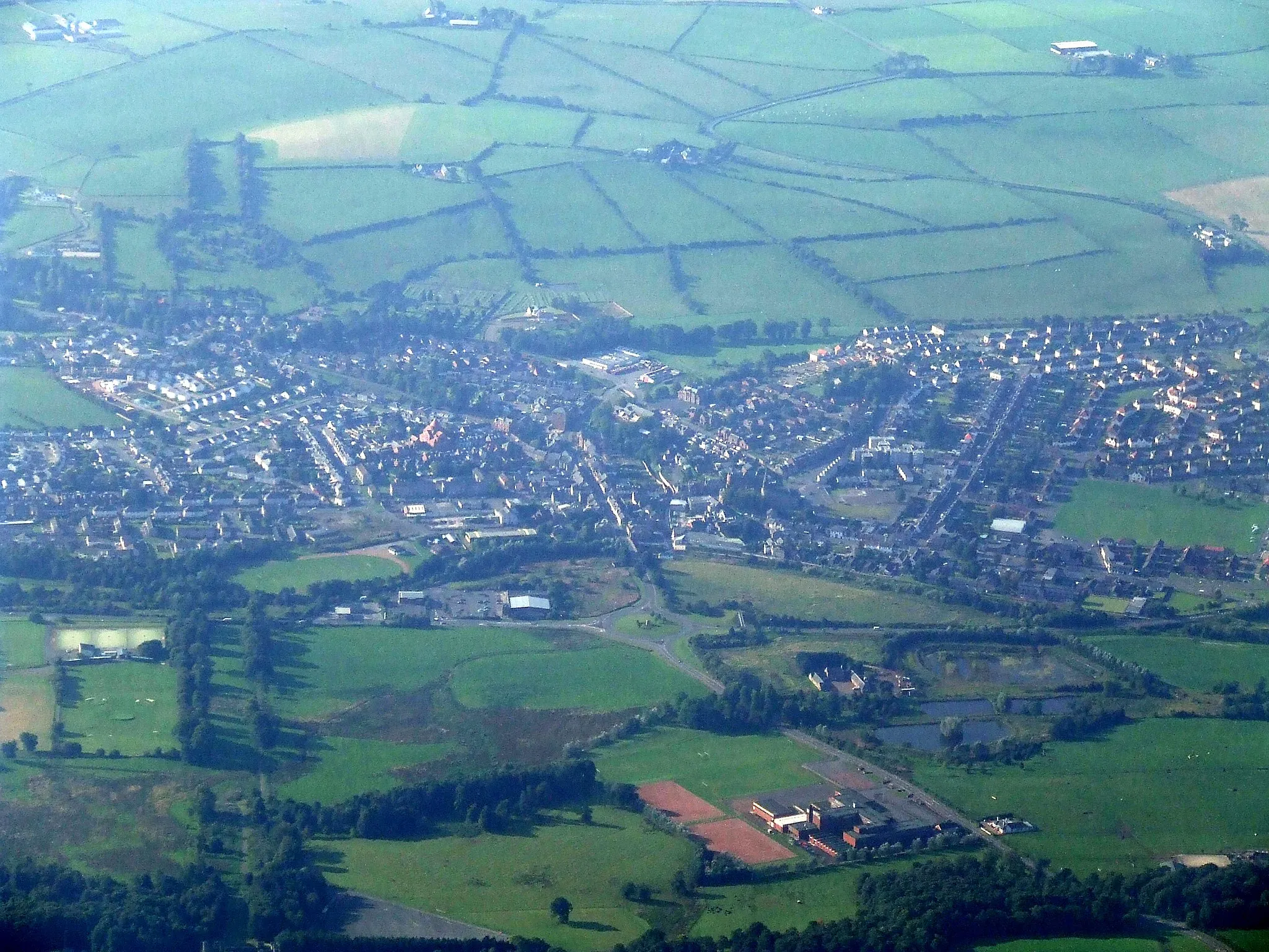
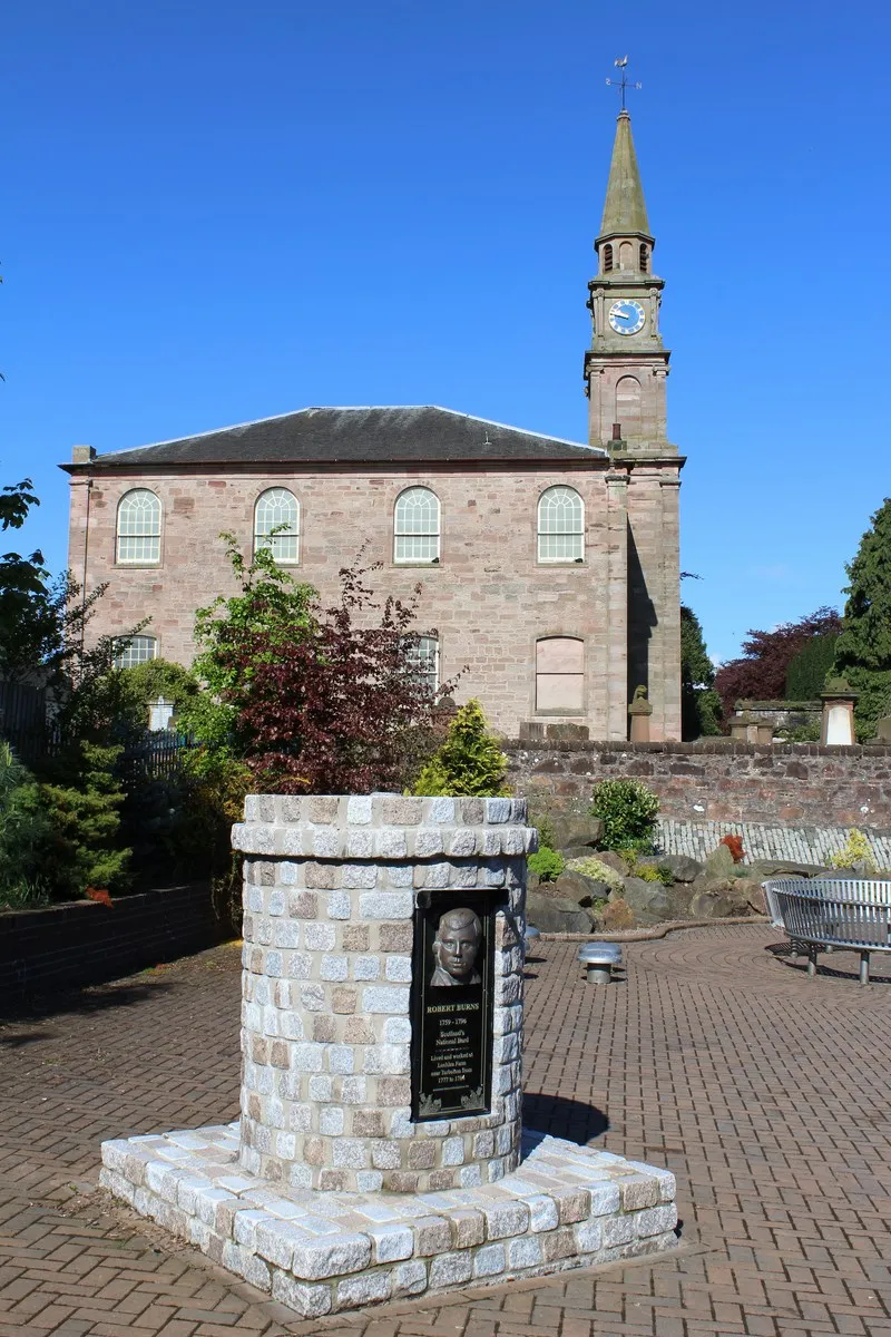
Start: Newmilns City centerNewmilns: Scenic cycling adventures in Newmilns, Southern Scotland
Newmilns is a small town located in Southern Scotland, United Kingdom. From a cyclist's point of view, Newmilns offers a mix of scenic road rides and challenging climbs in the nearby hills. Cyclists can enjoy the picturesque Scottish countryside with its rolling green hills, tranquil lochs, and charming villages. Nearby well-known cycling spot is the challenging climb to Tairlaw Summit, which rewards riders with stunning views at the top. With its natural beauty and variety of cycling routes, Newmilns is a great destination for cyclists looking to explore Southern Scotland.13 km
13 km
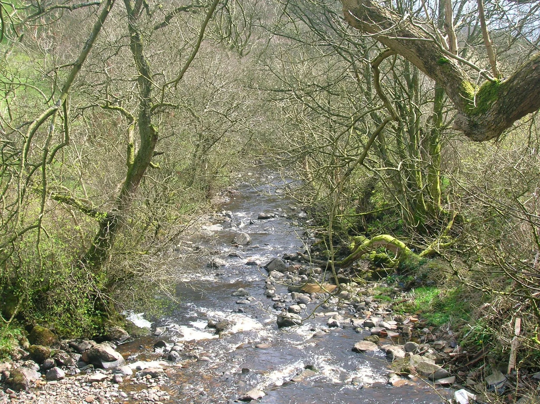
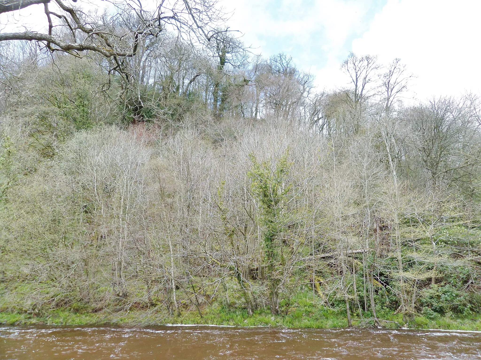
WatersideVillageWaterside, located 13 kilometers into the route, is a stunning spot with a tranquil river and beautiful natural surroundings.
29 km
29 km
Duncarnock (The Craigie)204 mPeakDuncarnock (The Craigie), situated 29 kilometers into the route, offers panoramic views of the surrounding countryside.
35 km
35 km
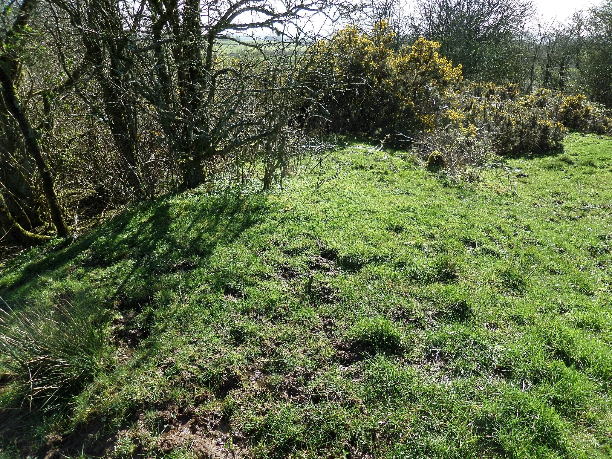
HurletSub-urbHurlet, at a distance of 35 kilometers, is a charming village known for its idyllic setting and friendly locals.
44 km
44 km
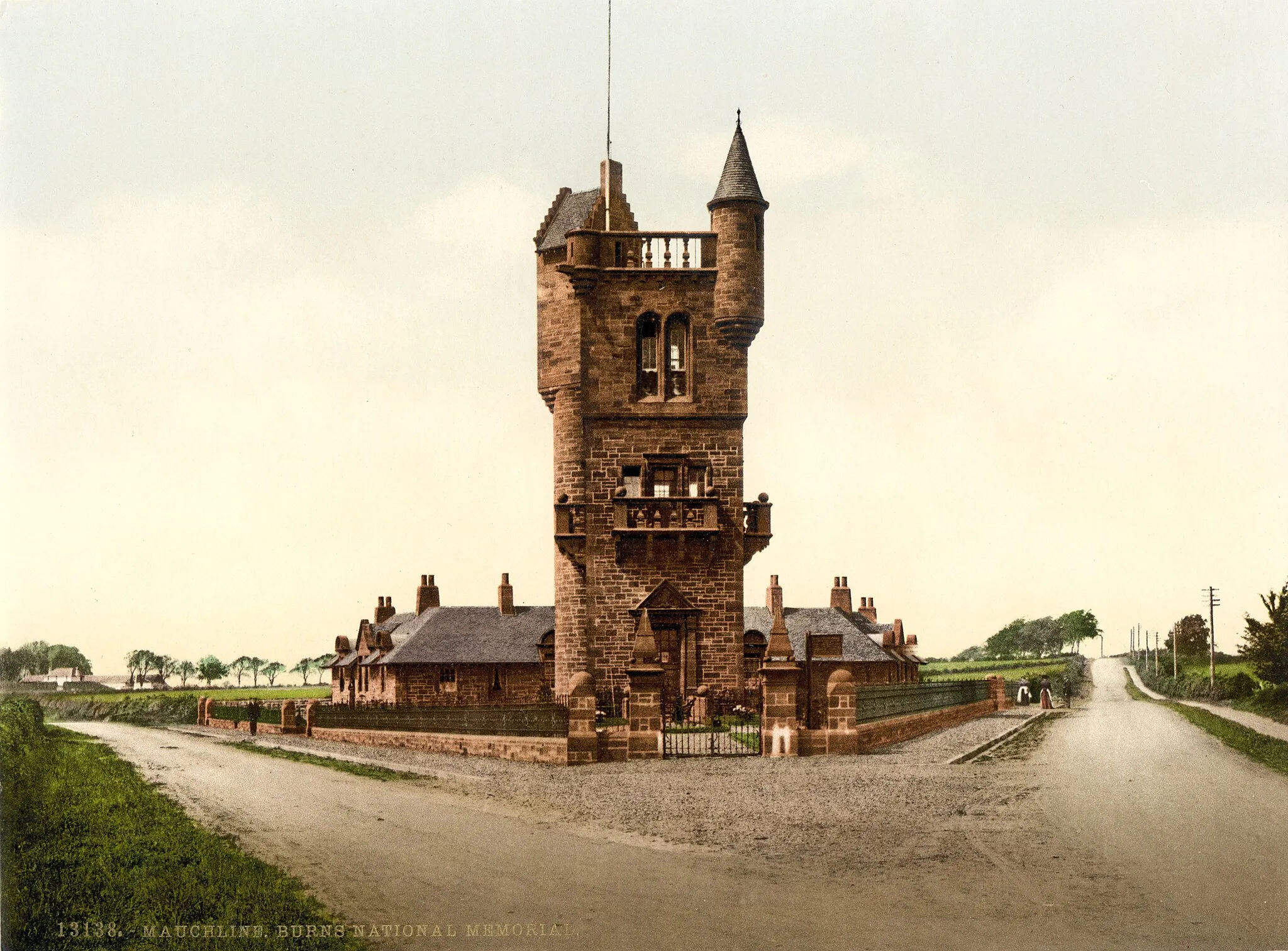
Mackintosh TowerViewpointMackintosh Tower, located 44 kilometers into the route, is a historic landmark with breathtaking views of the surrounding landscape.
50 km
50 km
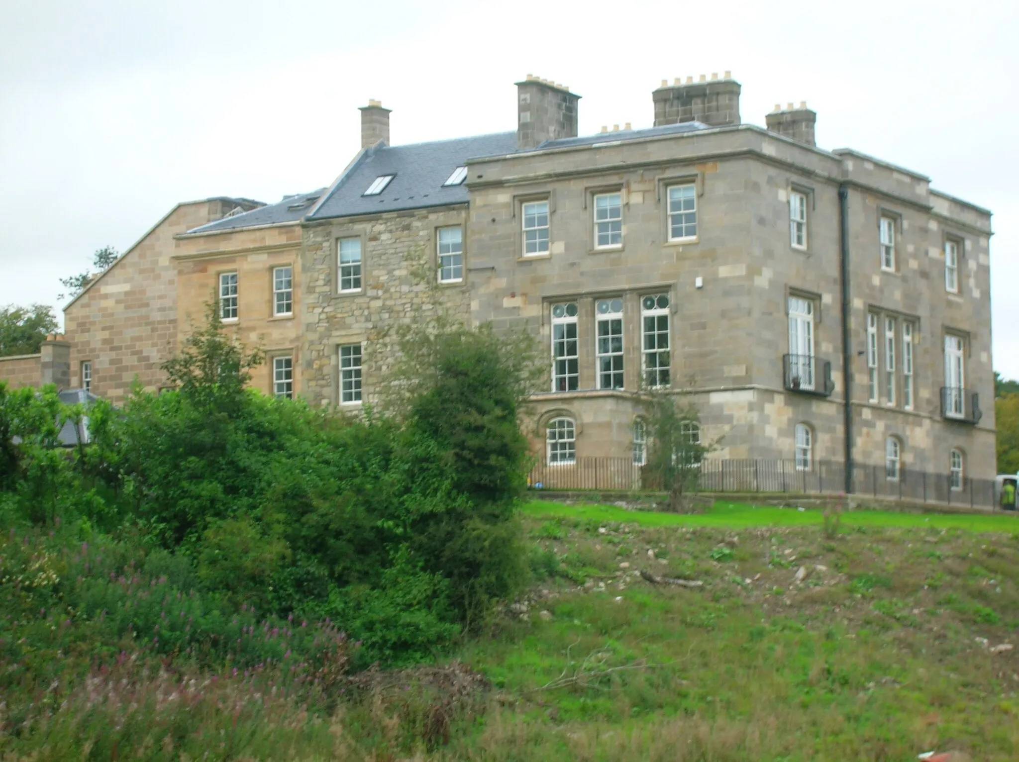
TollcrossSub-urbTollcross, situated 50 kilometers into the route, offers a mix of natural beauty and historical significance.
73 km
73 km
ChapeltonVillageChapelton, at a distance of 73 kilometers, is a quaint village known for its warm hospitality and scenic beauty.
93 km
93 km
Loudoun Hill316 mPeakLoudoun Hill, located 93 kilometers into the route, is a historic landmark with stunning views and a peaceful atmosphere.
97 km
97 km
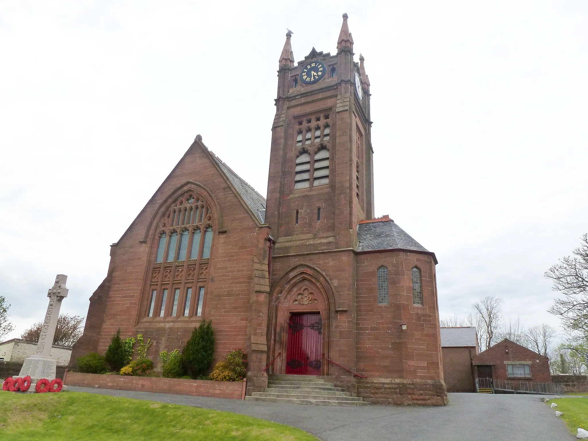
DarvelTownDarvel, situated 97 kilometers into the route, is a picturesque town with a charming atmosphere and beautiful surroundings.
100 km
100 km
Finish: Newmilns City centerNewmilns: Scenic cycling adventures in Newmilns, Southern Scotland
Cycling routes from Newmilns:
Cycling routes nearby: