Adventurous Ride to Clatteringshaws Visitor Centre
A gravel cycling route starting from Newton Stewart
Embark on an adventurous ride to Clatteringshaws Visitor Centre
Map
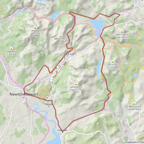
The Adventurous Ride to Clatteringshaws Visitor Centre is a thrilling 74-kilometer gravel cycling route starting near Newton Stewart. This challenging route takes you through stunning landscapes and includes a visit to the Clatteringshaws Visitor Centre. With an elevation gain of 1067 meters, this route is recommended for experienced gravel cyclists. The highlight of this route is the Grey Mare's Tail, a magnificent waterfall that cascades down rugged cliffs.
gravel
74 km
1067 m
Savage
Route profile
Highlights on the route
0 km
0 km
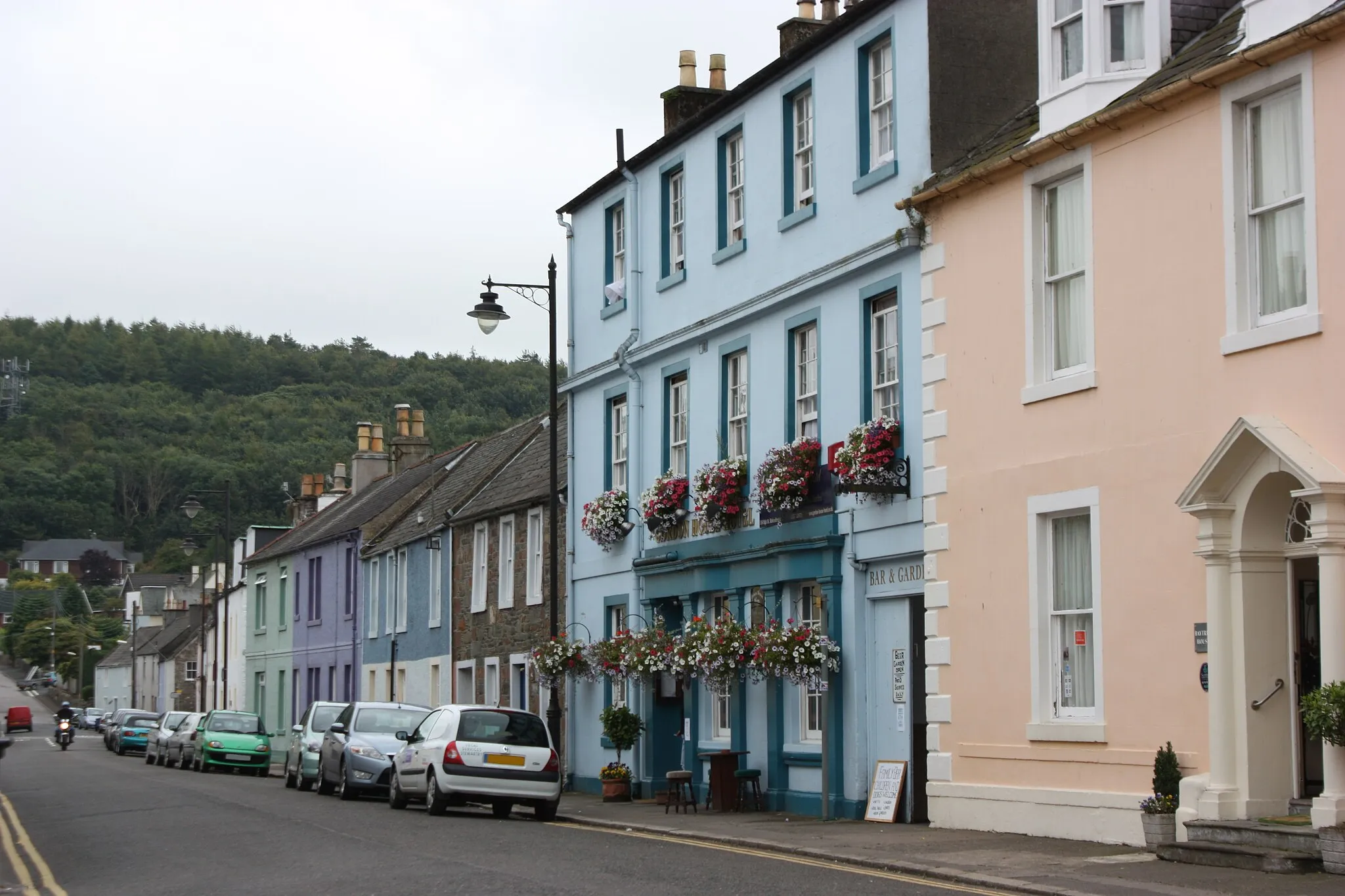
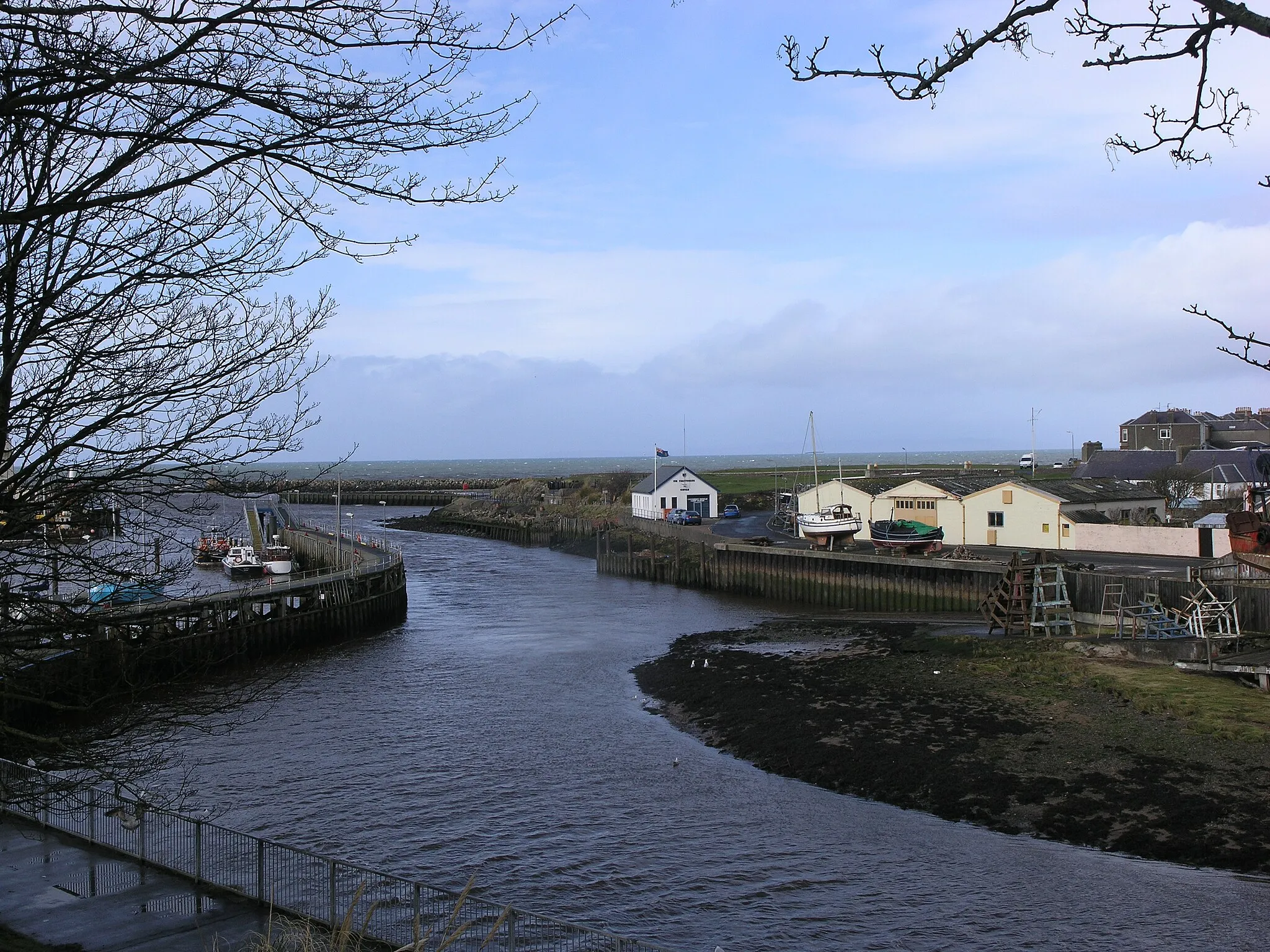
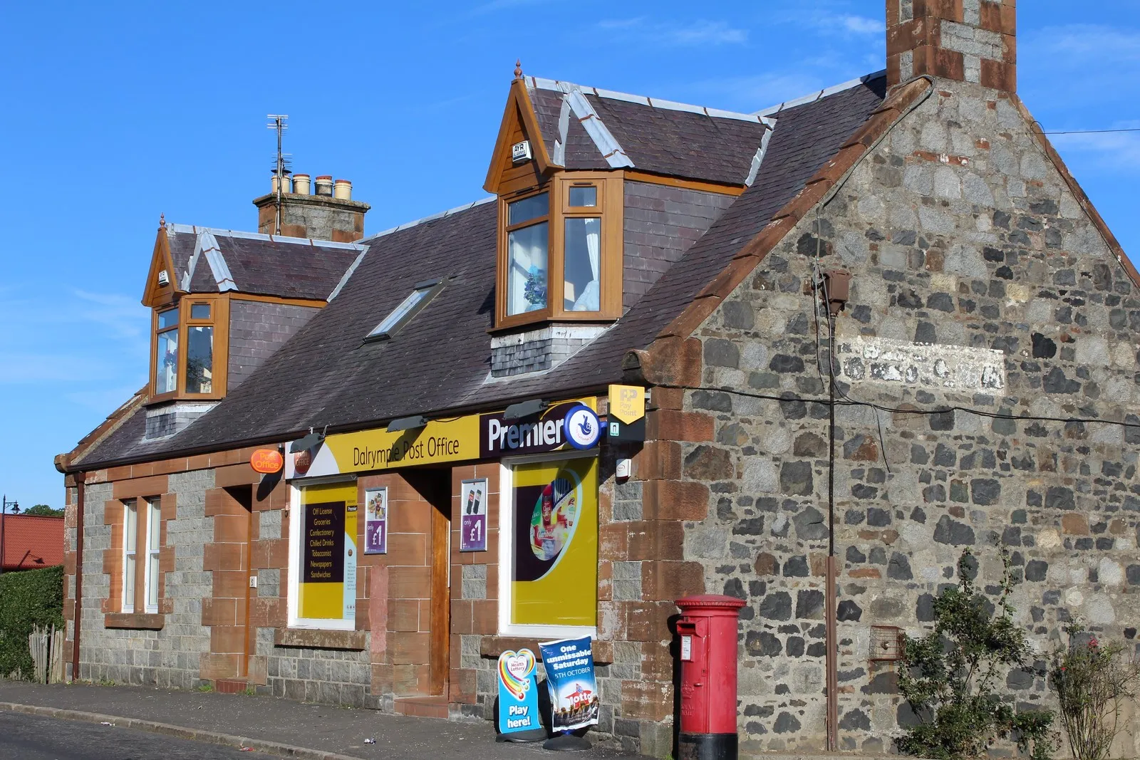
Start: Newton Stewart City centerNewton Stewart: Scenic landscapes, challenging climbs, and access to the Galloway Forest Park.
Newton Stewart is a town located in the Southern Scotland region in the United Kingdom. The locality offers beautiful landscapes for road and gravel cyclists to explore, including rolling hills and picturesque countryside. Cycling enthusiasts will find several well-known climbs nearby, such as the Nick of the Gate ascent. Newton Stewart is also a gateway to the Galloway Forest Park, which provides a variety of cycling trails amidst stunning natural scenery. With its challenging climbs and scenic routes, Newton Stewart is a must-visit destination for cyclists.13 km
13 km
Grey Mare's TailWaterfallThe Grey Mare's Tail is a breathtaking waterfall that will leave you in awe.
17 km
17 km
Poultrybuie Hill354 mPeakPoultrybuie Hill offers incredible panoramic views of the surrounding landscapes.
38 km
38 km
Clatteringshaws Visitor CentreAttractionClatteringshaws Visitor Centre is a must-visit spot to learn about the local nature and wildlife.
38 km
38 km
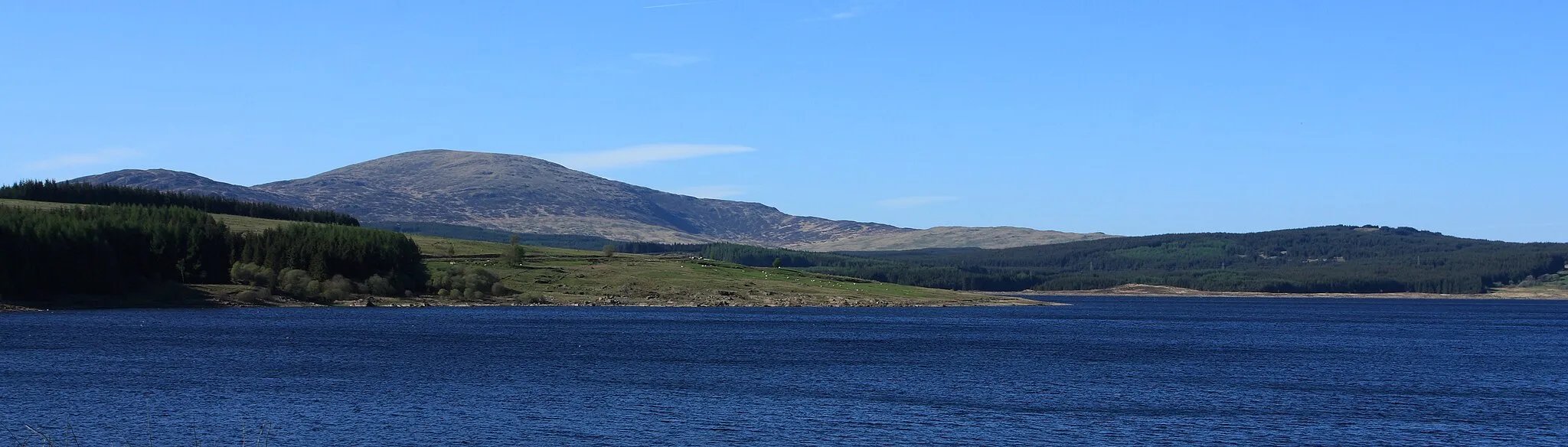
Clatteringshaws LochLakeClatteringshaws Loch is a serene lake surrounded by beautiful scenery.
47 km
47 km
Craiglowrie329 mPeakCraiglowrie offers stunning views and is a great place to take a break.
63 km
63 km
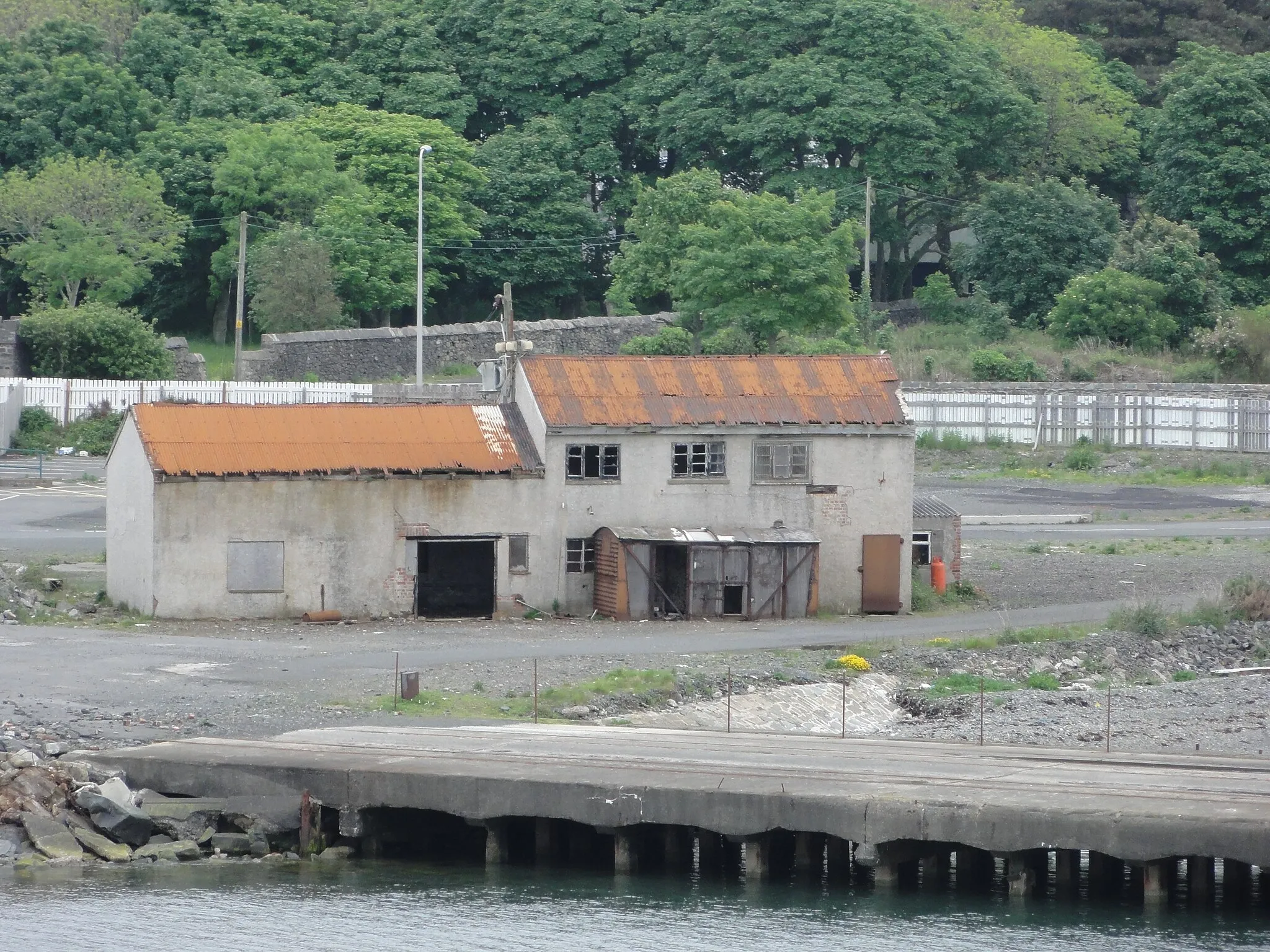
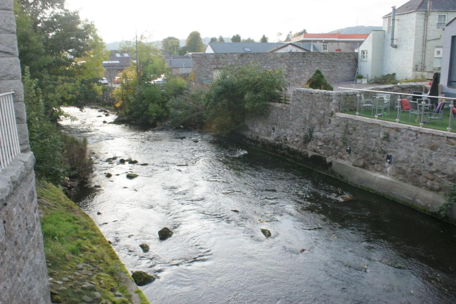
CreetownVillageCreetown is a small village with a rich industrial heritage.
74 km
74 km
Newton StewartTownDon't miss Newton Stewart, a bustling market town with a rich history.
74 km
74 km
Finish: Newton Stewart City centerNewton Stewart: Scenic landscapes, challenging climbs, and access to the Galloway Forest Park.
Cycling routes nearby: