Tranquil cycling getaway near Surrey.
Cycling routes from Ewell
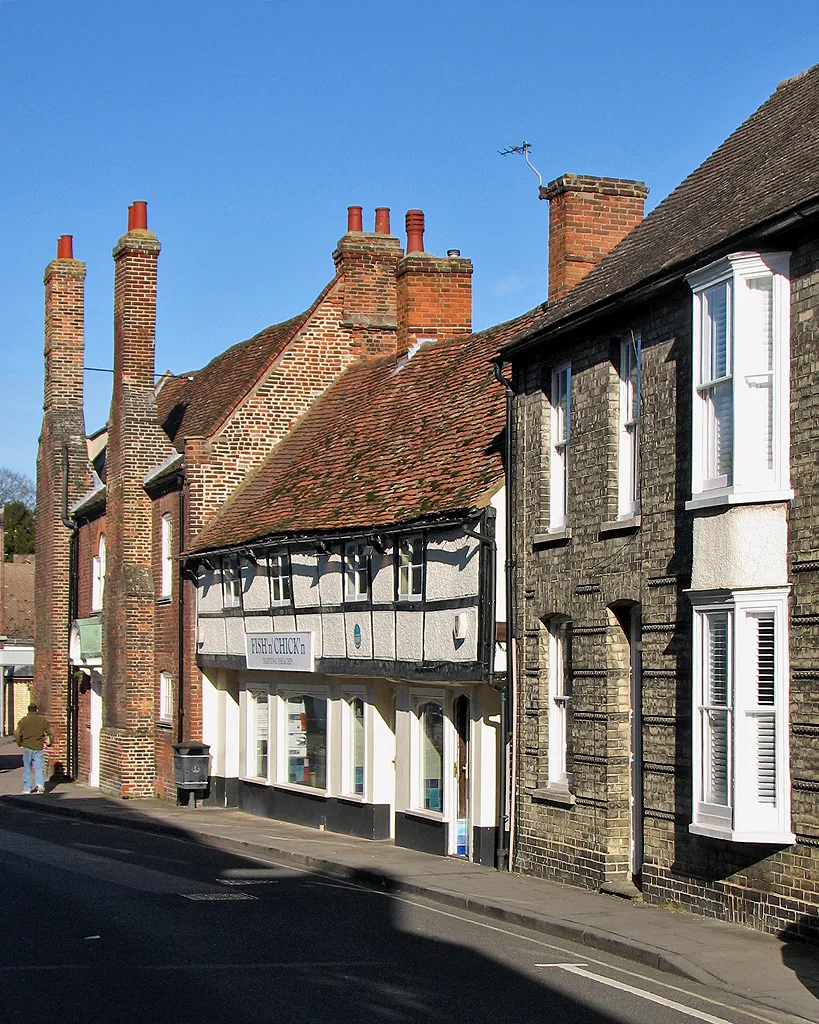
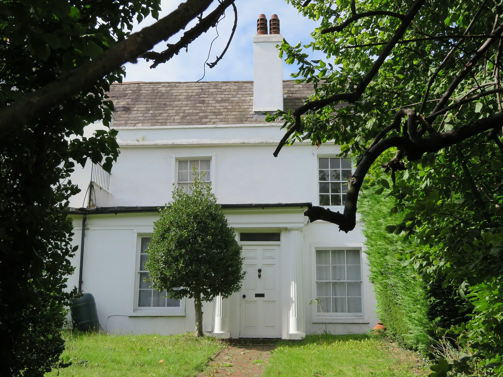
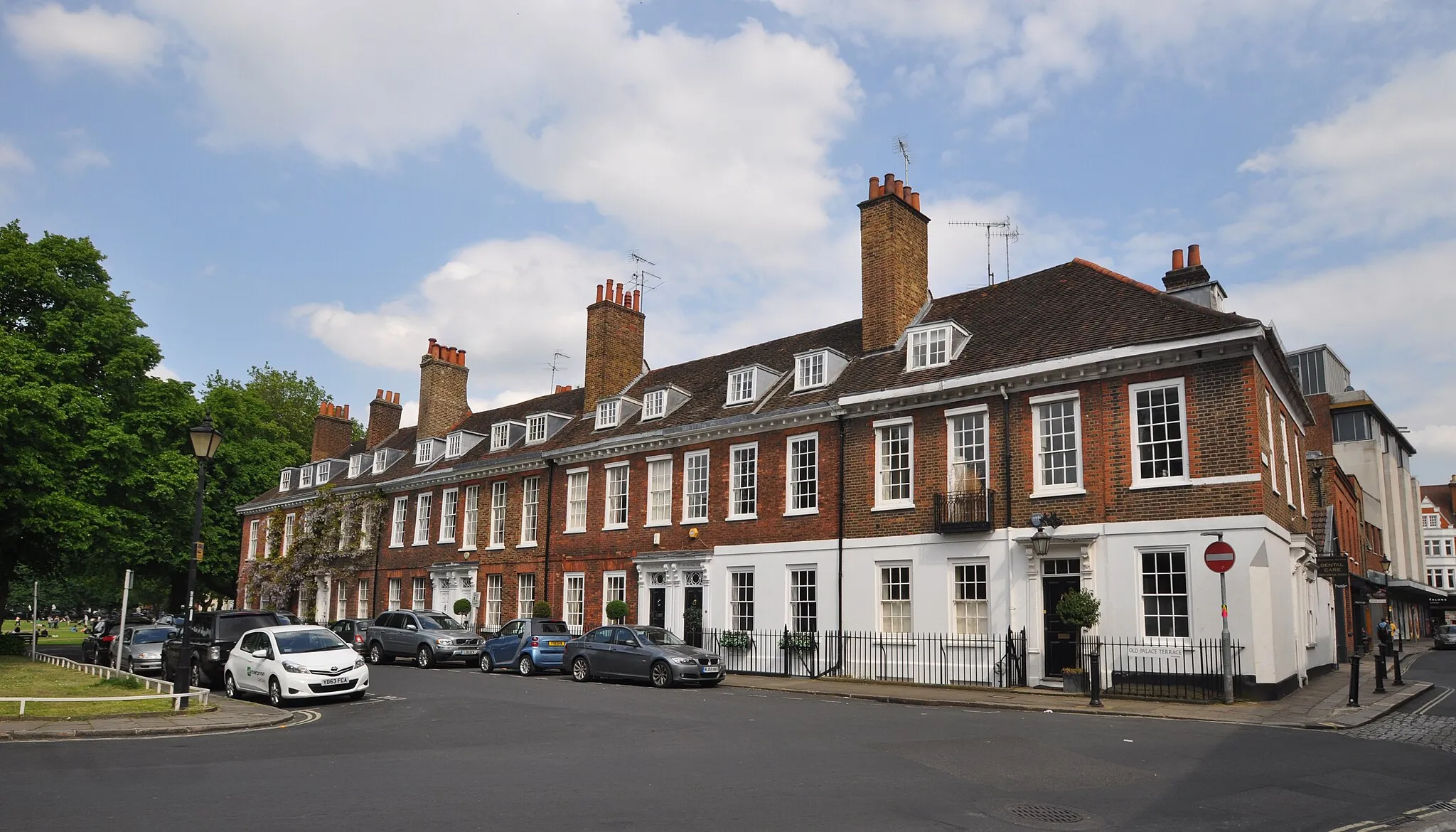
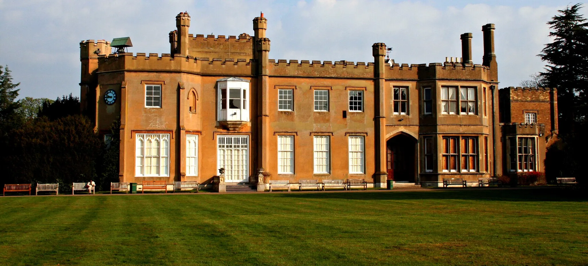
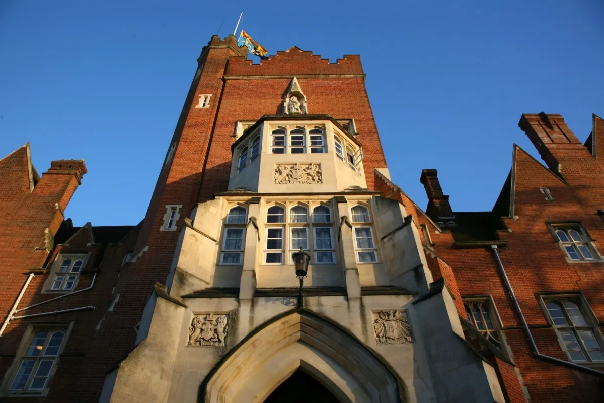
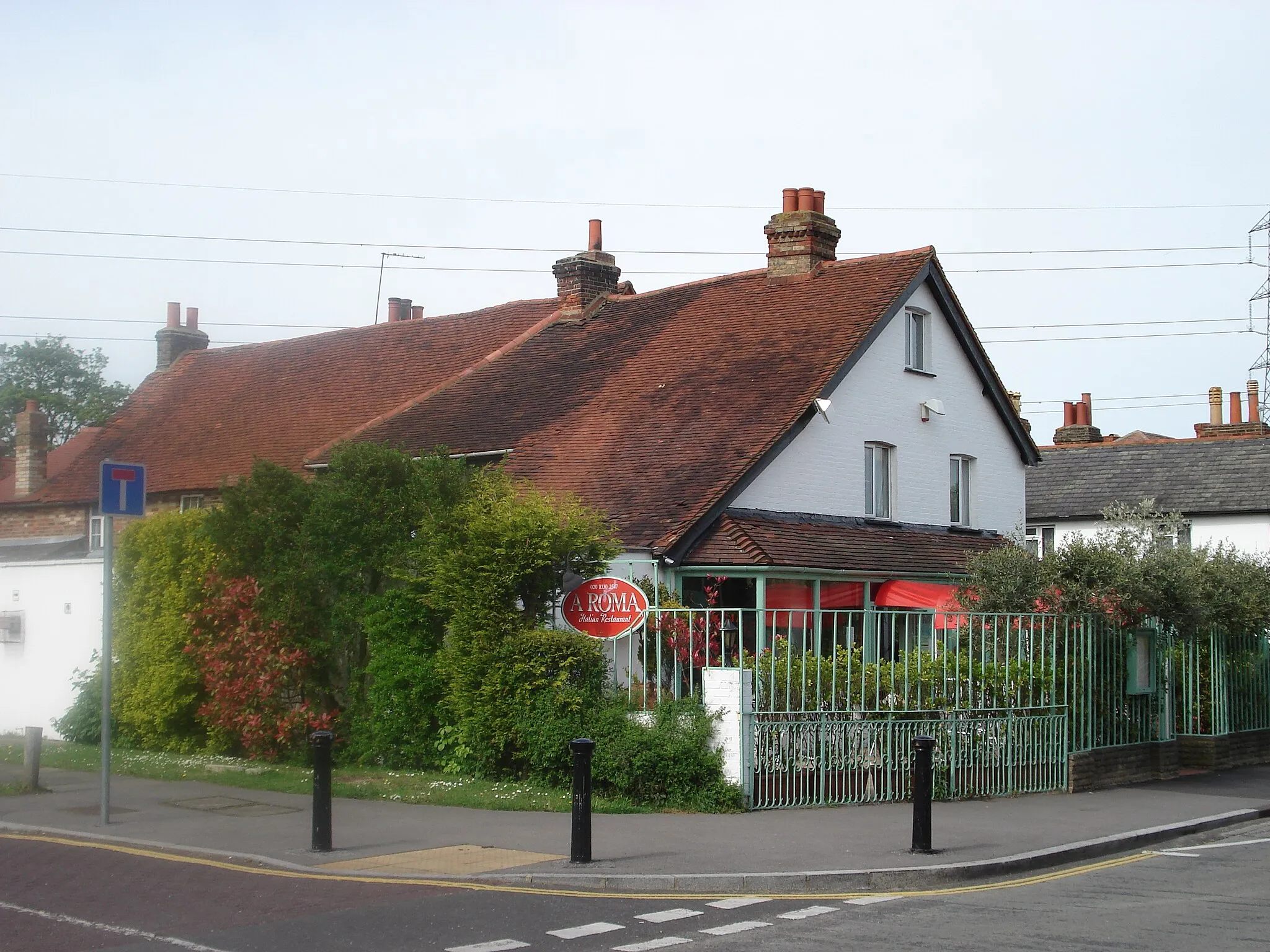
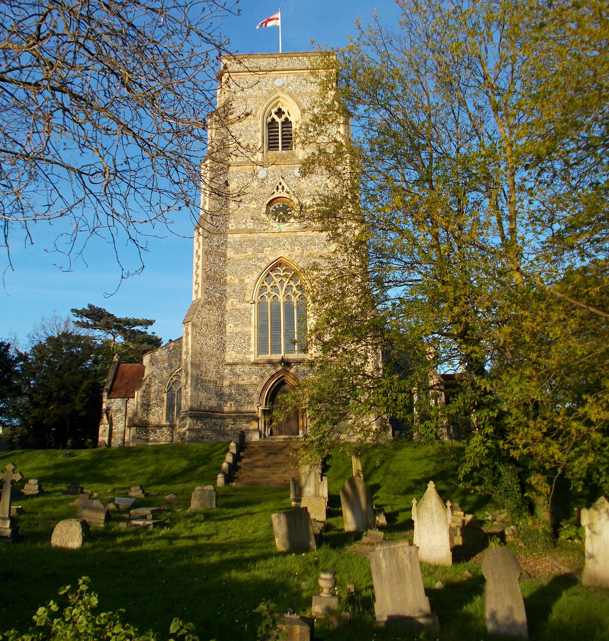
Ewell is a locality in Surrey, East and West Sussex, United Kingdom. For road and gravel cyclists, Ewell offers a peaceful and scenic environment with a mix of flat and rolling terrains. Cycling routes in and around Ewell provide cyclists with the opportunity to explore picturesque countryside, charming villages, and historical landmarks. Ewell Palace, Nonsuch Park, and Horton Country Park are notable locations for cyclists to visit. While Ewell may not be known for legendary climbs, its tranquil atmosphere and well-maintained roads make it an excellent destination for leisurely rides and exploration.
Road Loop from Ewell

A scenic road cycling loop showcasing the beauty of Surrey and Sussex
Embark on a picturesque road cycling journey through the stunning countryside of Surrey and Sussex. With a moderate ascent of 237m and a distance of 46km, this route offers a mix of charming villages, scenic landscapes, and cultural attractions.
Ewell to Stoneleigh Road Route

A delightful road route from Ewell to Stoneleigh with interesting viewpoints
Embark on this pleasant road route from Ewell to Stoneleigh, passing through picturesque locations such as Stoke D'Abernon, St George's Hill, and Mortlake. With a total ascent of 184 meters and a distance of 73 kilometers, this route is suitable for cyclists of all levels.
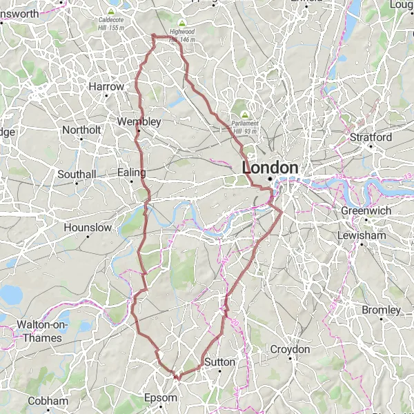
A scenic gravel route from Ewell to Cheam with diverse highlights
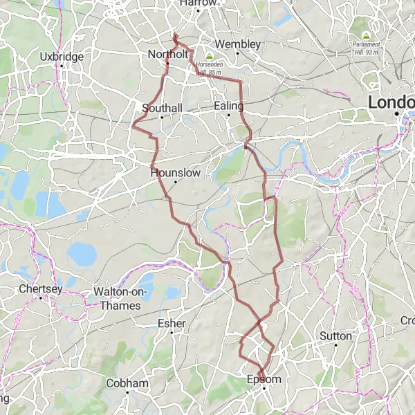
Embark on this challenging gravel route from Ewell to Cheam, exploring notable landmarks such as King Henry VIII's Mound, Wembley Stadium, and Primrose Hill. This route offers a total ascent of 491 meters and covers a distance of 81 kilometers, ensuring an exhilarating cycling adventure.
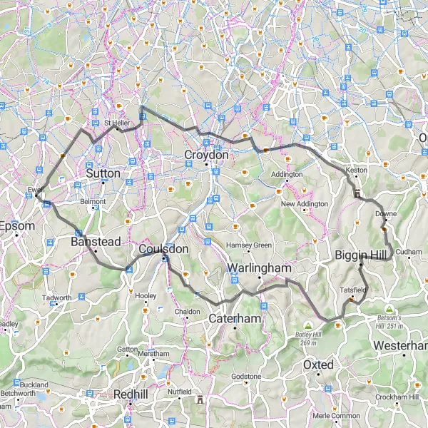
A challenging road route from Ewell to Banstead with scenic viewpoints
Embark on this challenging road route from Ewell to Banstead, passing through Addiscombe, Biggin Hill, and Coulsdon. With a total ascent of 581 meters and a distance of 65 kilometers, this route is best suited for experienced cyclists seeking a demanding and rewarding cycling adventure.

A scenic gravel route from Ewell to Cheam with interesting highlights
This gravel route takes you through picturesque landscapes, offering beautiful views of Richmond, Golders Green, and Baker Street. It's a moderately difficult route with a total ascent of 341 meters and a distance of 70 kilometers. The journey begins in Ewell and passes King Henry VIII's Mound and Richmond before reaching Cheam.
Ewell to Cheam Gravel Route 3

A scenic gravel route from Ewell to Cheam with interesting stops
Enjoy this moderately difficult gravel route from Ewell to Cheam, taking in notable sights such as Putney, Marble Arch, and Buckingham Palace. With a total ascent of 298 meters and a distance of 54 kilometers, this route offers a diverse cycling experience through urban and picturesque landscapes.
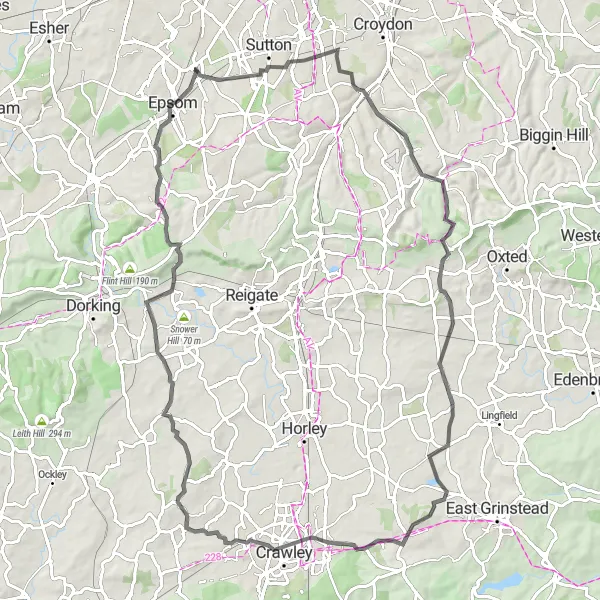
An epic road cycling adventure with scenic landscapes and cultural attractions
Experience an epic road cycling adventure through the beautiful landscapes of Surrey and Sussex. This challenging route features a total ascent of 232m and covers a distance of 73km. Prepare to be enchanted by charming villages, historic sites, and stunning natural surroundings.
A challenging road cycling adventure through the scenic Surrey and Sussex countryside
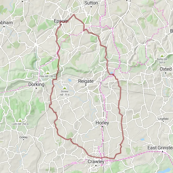
Embark on a challenging road cycling adventure through some of the most scenic countryside in Surrey and Sussex. This route features a total ascent of 680m and covers a distance of 87km, promising a thrilling cycling experience. Get ready to conquer steep climbs, breathtaking descents, and picturesque lanes.
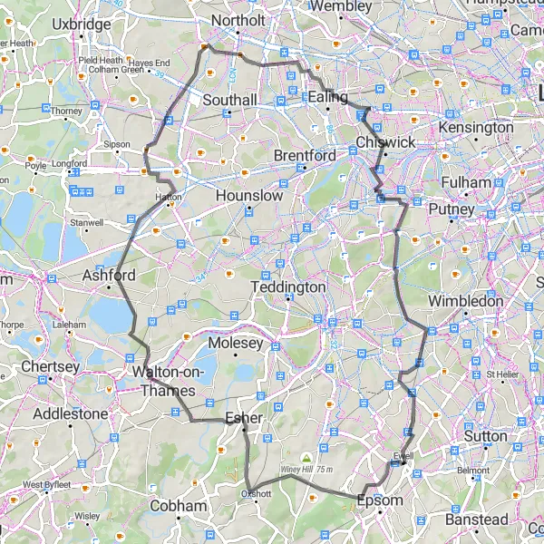
The Gravel Adventure
A thrilling gravel route through Surrey and Sussex
Embark on a thrilling gravel adventure through the picturesque towns of Kingston upon Thames, Heston, Northolt, Mortlake, and Old Malden. With a total ascent of 225 meters over a distance of 70 kilometers, this route is suitable for well-trained amateurs. Experience the natural beauty of the area as you ride along gravel paths and enjoy scenic views. Explore the highlights of this route, including the historic town of Kingston upon Thames and the tranquil neighborhood of Old Malden.
Gravel Loop from Ewell
A thrilling gravel ride through scenic Surrey and Sussex countryside
This challenging gravel loop takes you on an adventure through the stunning countryside of Surrey and Sussex. With a total ascent of 702m and a distance of 72km, this route is not for the faint-hearted. The mixture of picturesque lanes, off-road trails, and challenging climbs will test your skills and endurance.
Cycling routes nearby:


Nearby regions: